
Oberösterreich
Beschrijving
Bundesland in the central north of Austria, bordering on the Czech Republic and on Germany.
Paden in deze landsdeel
Links
Feiten
Verslagen
Gidsen en kaarten
Overnachting
Organisaties
Reisorganisaties
GPS
Anders
Boeken
De Zwerver
Netherlands
2012
Netherlands
2012
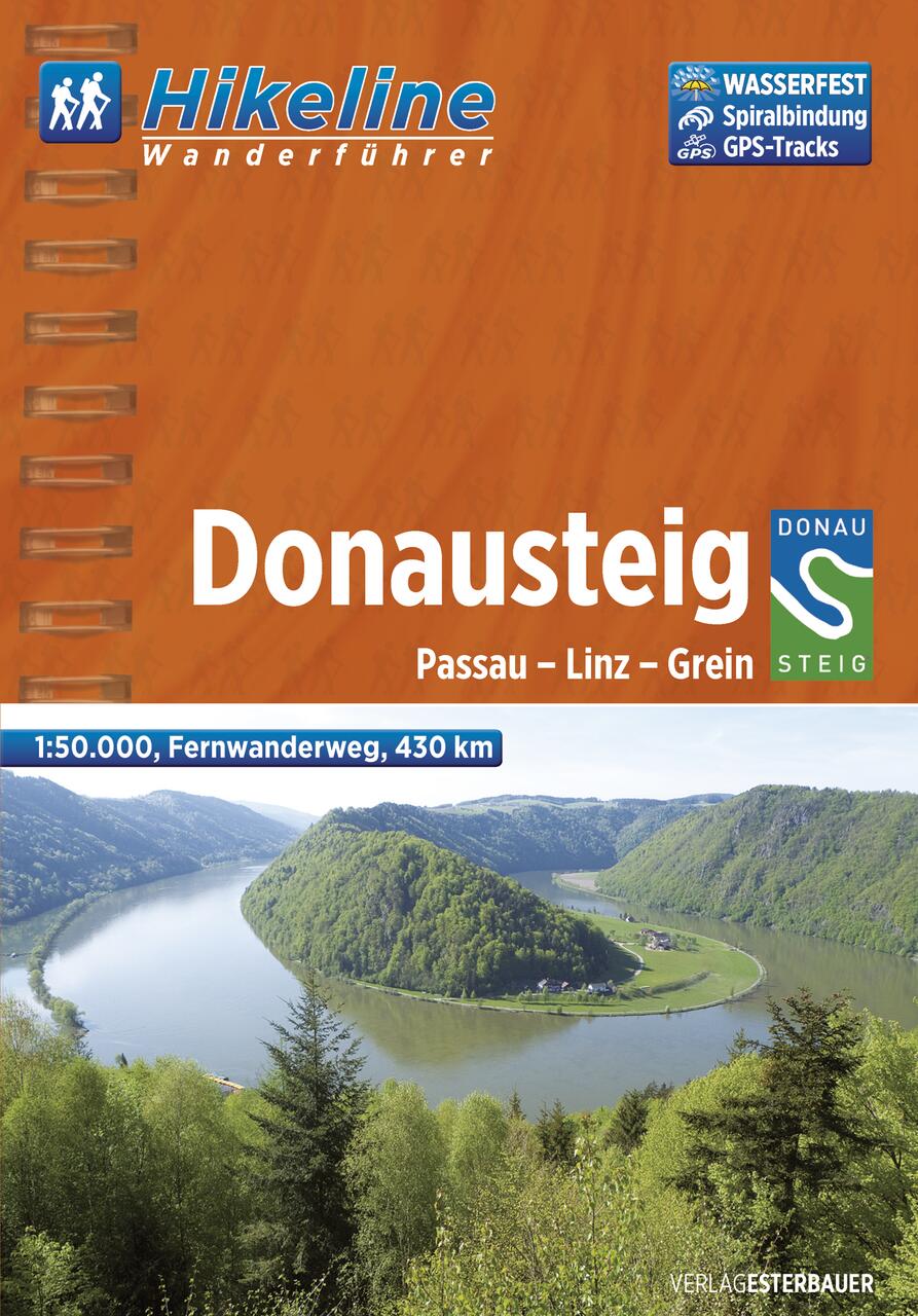
- Wandelgids Hikeline Donausteig | Esterbauer
- Handzame gids met een goede beschrijving van een meerdaagse tocht in dit gebied. De gids is in spiraalbinding en elke pagina is op scheur- en watervast papier gedrukt. Daar is echt over nagedacht! Der im Sommer 2010 neu eröffnete Donausteig startet im bayerisch-oberösterreichischen Grenzgebiet in der Drei-Flüsse-Stadt Passau und verläuft... Read more
De Zwerver
Netherlands
2015
Netherlands
2015
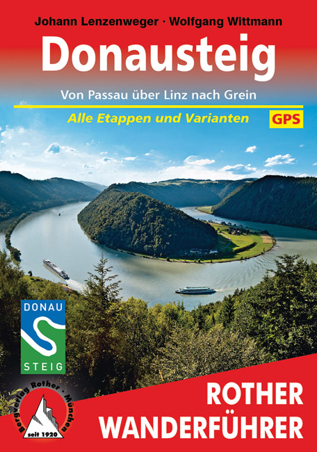
- Wandelgids Donausteig von Passau über Linz nach Grein | Rother Bergverlag
- Goede duidelijke beschrijving van deze meerdaagse wandeling van de Donausteig tussen Passau via Linz naar Grein. Voldoende info, zelfs kaartjes zijn behoorlijk goed en voldoende. Eine der schönsten Flusslandschaften Österreichs ist das Donautal, mit seinem Wechsel zwischen engen Durchbruchstälern und weiten Beckenlandschaften, mit... Read more
De Zwerver
Netherlands
2017
Netherlands
2017
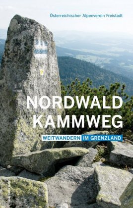
- Wandelgids Nordwaldkammweg | Anton Pustet
- Weitwandern im Grenzland Read more
Bol.com
Netherlands
Netherlands
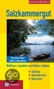
- Salzkammergut
- Wasser und Salz prägten die Landschaft des Salzkammerguts ebenso nachhaltig wie seine Geschichte und Kultur. Wasser und Salz sind untrennbar miteinander verknüpft und unentbehrlich für jede menschliche Existenz. Richtig angewandt entfalten sie ihre besondere Heilkraft. Beste Voraussetzungen also für ein ganzheitliches Wander- und Naturerlebnis... Read more
- Also available from:
- Bol.com, Belgium
Bol.com
Belgium
Belgium
- Salzkammergut
- Wasser und Salz prägten die Landschaft des Salzkammerguts ebenso nachhaltig wie seine Geschichte und Kultur. Wasser und Salz sind untrennbar miteinander verknüpft und unentbehrlich für jede menschliche Existenz. Richtig angewandt entfalten sie ihre besondere Heilkraft. Beste Voraussetzungen also für ein ganzheitliches Wander- und Naturerlebnis... Read more

- Also available from:
- Bol.com, Belgium
Bol.com
Netherlands
2014
Netherlands
2014
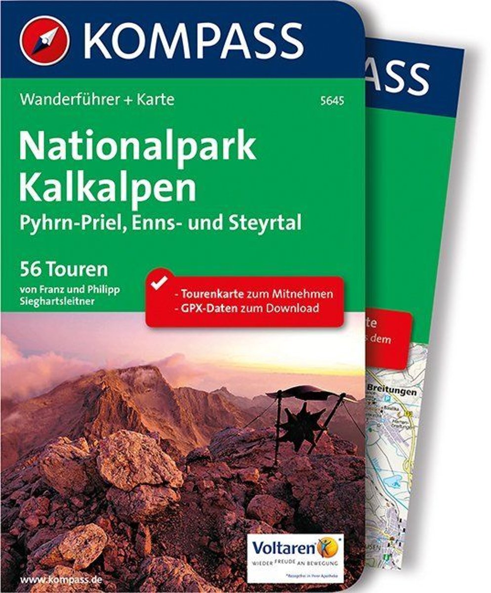
- WF5645 Nationalpark Kalkalpen Kompass
- . Praktische Tourenkarte im Maßstab 1:35000 zum Mitnehmen mit allen eingezeichneten Touren aus dem Wanderführer.. Icons im Farbbalken informieren über Schwierigkeitsgrad, Einkehrmöglichkeit, Kinderfreundlichkeit usw.. Informationen zu Ausgangspunkt, Charakter, Einkehr und Karte sind gleich zu Beginn jeder Tour übersichtlich zusammengefasst..... Read more
- Also available from:
- Bol.com, Belgium
Bol.com
Belgium
2014
Belgium
2014
- WF5645 Nationalpark Kalkalpen Kompass
- . Praktische Tourenkarte im Maßstab 1:35000 zum Mitnehmen mit allen eingezeichneten Touren aus dem Wanderführer.. Icons im Farbbalken informieren über Schwierigkeitsgrad, Einkehrmöglichkeit, Kinderfreundlichkeit usw.. Informationen zu Ausgangspunkt, Charakter, Einkehr und Karte sind gleich zu Beginn jeder Tour übersichtlich zusammengefasst..... Read more

Bol.com
Netherlands
Netherlands
- WA601 Oberösterreich Kompass
- In deze Duitstalige Kompass wandelatlas vindt u de mooiste wandelingen in het gebied • Routes voor zowel getrainde als ongetrainde wandelaars • gedetailleerde kaarten • overzichtskaart van alle routes • duidelijke routebeschrijvingen met fraaie foto's • nuttige informatie over het gebied Read more
- Also available from:
- Bol.com, Belgium
Bol.com
Belgium
Belgium
- WA601 Oberösterreich Kompass
- In deze Duitstalige Kompass wandelatlas vindt u de mooiste wandelingen in het gebied • Routes voor zowel getrainde als ongetrainde wandelaars • gedetailleerde kaarten • overzichtskaart van alle routes • duidelijke routebeschrijvingen met fraaie foto's • nuttige informatie over het gebied Read more

Stanfords
United Kingdom
United Kingdom
- Istria Kompass 238
- Istria at 1:75,000 on a double-sided, waterproof and tear-resistant, detailed contoured map from Kompass, with hiking and cycling routes, street plans of 10 main towns, plus tourist information. Coverage extends north beyond the Croatian border to include Trieste and the coast of Slovenia. Contours at 50m intervals and spot heights present the... Read more
Kaarten
De Zwerver
Netherlands
Netherlands
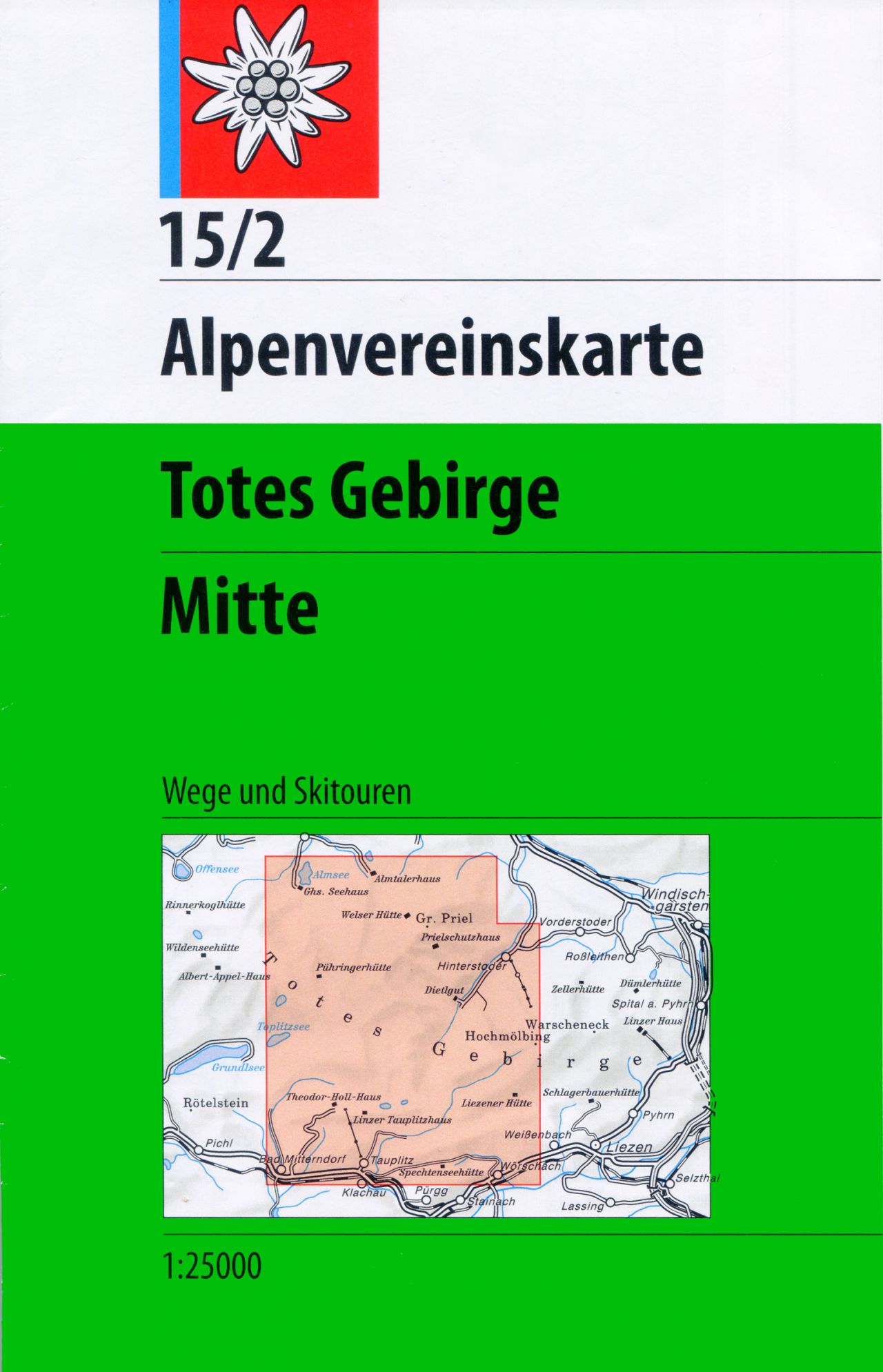
- Wandelkaart 15/2 Alpenvereinskarte Totes Gebirge - Mitte | Alpenverein
- Totes Gebirge Central area of the Alps in a hiking edition at 1:25,000 from a series of detailed, GPS compatible maps published by the DAV - Deutscher Alpenverein and produced by the German and Austrian Alpine Clubs using cartography from their respective survey organizations. Maps in this series have topography vividly presented by contours at... Read more
- Also available from:
- Stanfords, United Kingdom

Stanfords
United Kingdom
United Kingdom
- Totes Gebirge Central Alpenverein KOMBI Map 15/2
- Totes Gebirge Central area of the Alps in a hiking edition at 1:25,000 from a series of detailed, GPS compatible maps published by the DAV - Deutscher Alpenverein and produced by the German and Austrian Alpine Clubs using cartography from their respective survey organizations. Maps in this series have topography vividly presented by contours at... Read more
De Zwerver
Netherlands
2022
Netherlands
2022

De Zwerver
Netherlands
Netherlands
- Wandelkaart 1 Stara Planina gebergte | Domino
- Stara Planina Central: Zlatitsa to Kalofer map at 1:50,000 from Bulgarian publishers Domino, contoured and GPS compatible, with hiking trails, accommodation options including a list of local mountain refuges, etc. The map is double-sided and covers the mountains from just west of Ribaritsa and Zlatitsa eastwards beyond Kalofer to the peak of... Read more
- Also available from:
- Stanfords, United Kingdom

Stanfords
United Kingdom
United Kingdom
- Stara Planina Central: Zlatitsa to Kalofer Domino Map
- Stara Planina Central: Zlatitsa to Kalofer map at 1:50,000 from Bulgarian publishers Domino, contoured and GPS compatible, with hiking trails, accommodation options including a list of local mountain refuges, etc. The map is double-sided and covers the mountains from just west of Ribaritsa and Zlatitsa eastwards beyond Kalofer to the peak of... Read more

De Zwerver
Netherlands
Netherlands
- Wandelkaart Sredna Gora - Bulgarije | Domino
- Pirin Mountains at 1:50,000 on a large, double-sided, contoured map with GPS waypoints for shelters and chalets, peaks, etc. and highlighting hiking routes. Topography is shown by contours at 40m intervals with additional relief shading and graphics and colouring for sandstone stacks, single rocks over 5m high, marshlands and different types of... Read more
De Zwerver
Netherlands
Netherlands
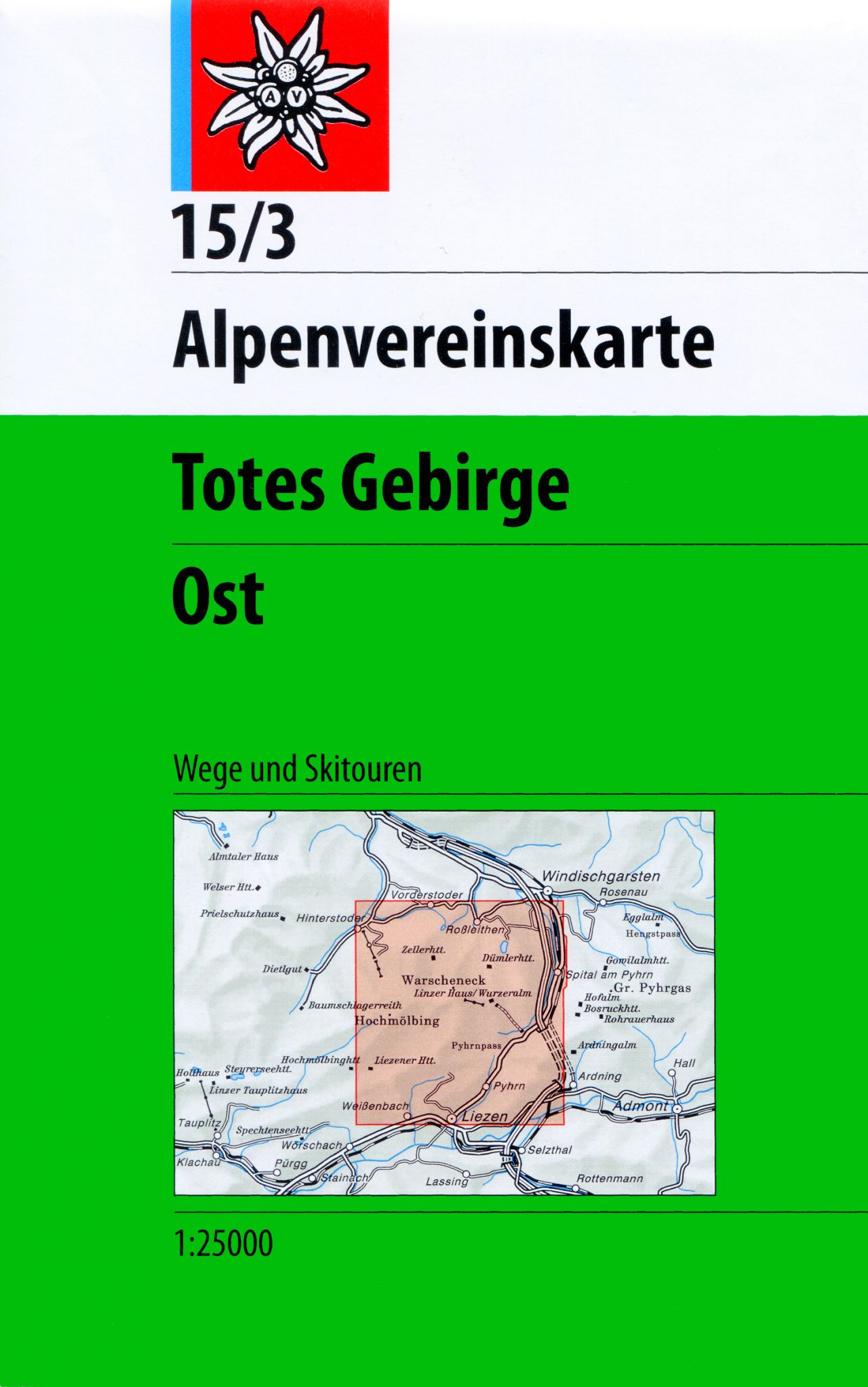
- Wandelkaart 15/3 Alpenvereinskarte Totes Gebirge - Ost | Alpenverein
- Totes Gebirge East area of the Alps in a combined hiking and ski edition at 1:25,000 from a series of detailed, GPS compatible maps published by the DAV - Deutscher Alpenverein and produced by the German and Austrian Alpine Clubs using cartography from their respective survey organizations. Maps in this series have topography vividly presented... Read more
- Also available from:
- Stanfords, United Kingdom

Stanfords
United Kingdom
United Kingdom
- Totes Gebirge East Alpenverein KOMBI Map 15/3
- Totes Gebirge East area of the Alps in a combined hiking and ski edition at 1:25,000 from a series of detailed, GPS compatible maps published by the DAV - Deutscher Alpenverein and produced by the German and Austrian Alpine Clubs using cartography from their respective survey organizations. Maps in this series have topography vividly presented... Read more
De Zwerver
Netherlands
2022
Netherlands
2022

De Zwerver
Netherlands
Netherlands
- Wandelkaart 2 Stara Planina gebergte | Domino
- Stara Planina Central: Uzana to Vratnik map at 1:50,000 from Bulgarian publishers Domino, contoured and GPS compatible, with hiking trails, accommodation options including a list of local mountain refuges, etc. The map is double-sided and covers the mountains from just west of the Uzana massif, the geographical centre of Bulgaria, eastwards to... Read more
- Also available from:
- Stanfords, United Kingdom

Stanfords
United Kingdom
United Kingdom
- Stara Planina Central: Uzana to Vratnik Domino Map
- Stara Planina Central: Uzana to Vratnik map at 1:50,000 from Bulgarian publishers Domino, contoured and GPS compatible, with hiking trails, accommodation options including a list of local mountain refuges, etc. The map is double-sided and covers the mountains from just west of the Uzana massif, the geographical centre of Bulgaria, eastwards to... Read more
De Zwerver
Netherlands
Netherlands
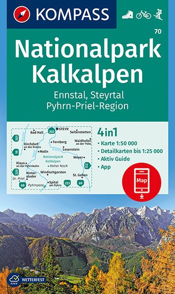
- Wandelkaart 70 Nationalpark Kalkalpen | Kompass
- Kalkalpen NP (No. 70), a detailed, GPS compatible map at 1:50,000 from Kompass with local and long-distance footpaths, cycling routes, accommodation, etc, printed on durable, waterproof and tear-resistant synthetic paper.KOMPASS HIKING & RECREATIONAL MAPS:This title is part of an extensive series covering Austria, much of Germany and the... Read more
- Also available from:
- Stanfords, United Kingdom

Stanfords
United Kingdom
United Kingdom
- Kalkalpen NP - Ennstal - Steyrtal - Pyhrn-Priel-Region Kompass 70
- Kalkalpen NP (No. 70), a detailed, GPS compatible map at 1:50,000 from Kompass with local and long-distance footpaths, cycling routes, accommodation, etc, printed on durable, waterproof and tear-resistant synthetic paper.KOMPASS HIKING & RECREATIONAL MAPS:This title is part of an extensive series covering Austria, much of Germany and the... Read more

De Zwerver
Netherlands
Netherlands
- Wandelkaart 3 Stara Planina gebergte | Domino
- Stara Planina Western: Belogradchik to Berkovita map at 1:50,000 from Bulgarian publishers Domino, contoured and GPS compatible, with hiking trails, accommodation options including a list of local mountain refuges, etc. The map is double-sided and covers the mountains from the peak of Byala Voda near Belogradchik eastwards to just beyond... Read more
- Also available from:
- Stanfords, United Kingdom

Stanfords
United Kingdom
United Kingdom
- Stara Planina Western: Belogradchik to Berkovita Domino Map
- Stara Planina Western: Belogradchik to Berkovita map at 1:50,000 from Bulgarian publishers Domino, contoured and GPS compatible, with hiking trails, accommodation options including a list of local mountain refuges, etc. The map is double-sided and covers the mountains from the peak of Byala Voda near Belogradchik eastwards to just beyond... Read more
De Zwerver
Netherlands
Netherlands
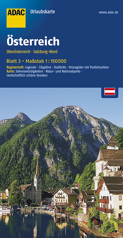
- Wegenkaart - landkaart 03 UrlaubsKarte Oberösterreich, Salzburg-Nord | ADAC
- ADAC UrlaubsKarte Österreich 03: Oberösterreich, Salzburg-Nord 1 : 150 000 ab 8.99 EURO Register: Legende, Citypläne, Stadtinfo, Ortsregister. Karte: Sehenswürdigkeiten, Natur- und Nationalparks, landschaftlich schöne Strecken ADAC UrlaubsKarte Österreich. 3. Auflage, Laufzeit bis 2017 Read more
De Zwerver
Netherlands
Netherlands
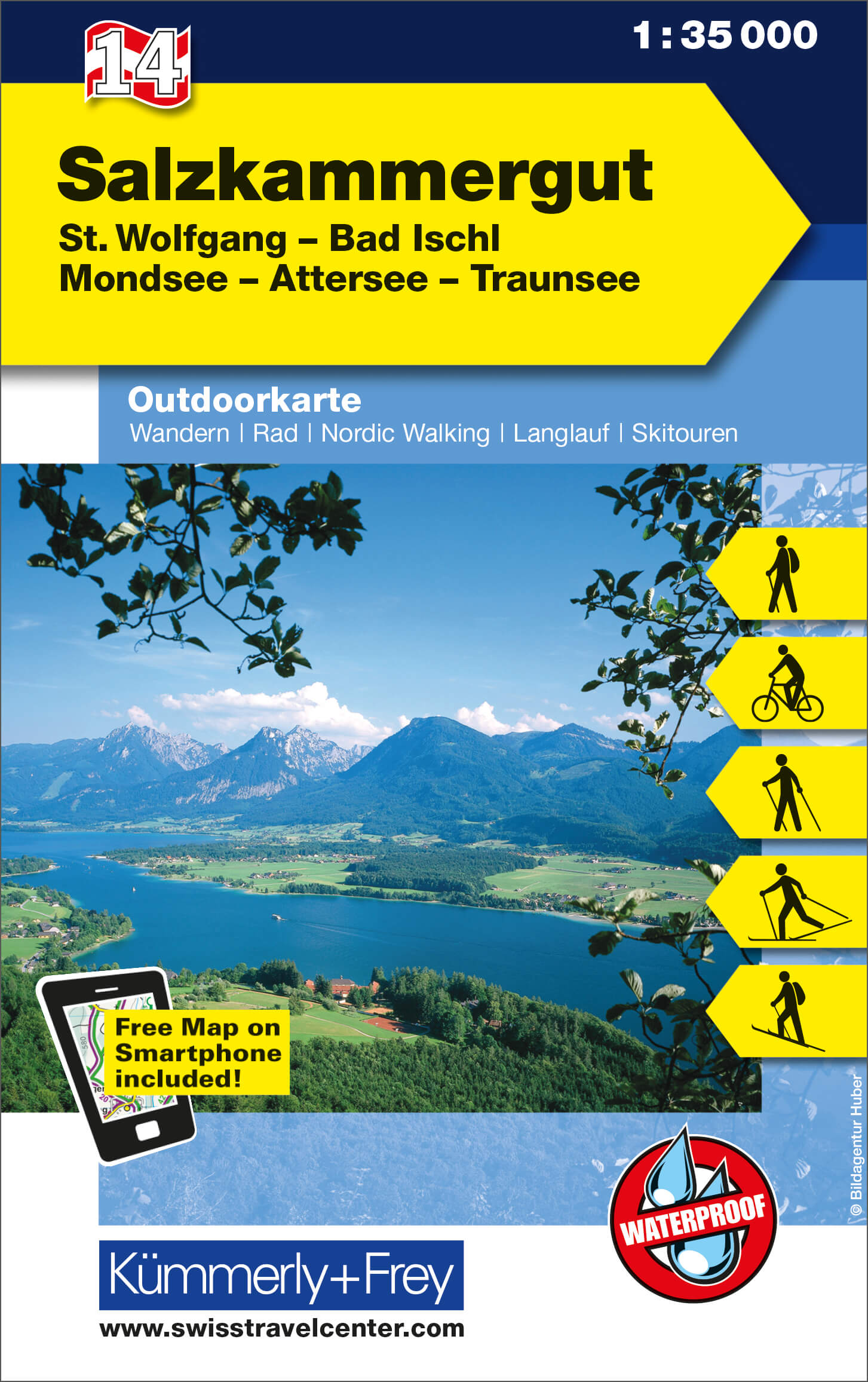
- Wandelkaart 14 Outdoorkarte AT Salzkammergut | Kümmerly & Frey
- Salzkammergut - St. Wolfgang - Bad Ischl - Mondsee - Attersee - Traunsee area of the Austrian Alps at 1:35,000 on a GPS compatible, double-sided map from Kümmerly+Frey printed on sturdy, waterproof and tear-resistant synthetic paper; contoured, with hiking, cycling and ski routes, accommodation facilities, locations for other recreational... Read more
- Also available from:
- Stanfords, United Kingdom

Stanfords
United Kingdom
United Kingdom
- Salzkammergut - St. Wolfgang - Bad Ischl - Mondsee - Attersee - Traunsee K+F Outdoor Map 14
- Salzkammergut - St. Wolfgang - Bad Ischl - Mondsee - Attersee - Traunsee area of the Austrian Alps at 1:35,000 on a GPS compatible, double-sided map from Kümmerly+Frey printed on sturdy, waterproof and tear-resistant synthetic paper; contoured, with hiking, cycling and ski routes, accommodation facilities, locations for other recreational... Read more

De Zwerver
Netherlands
Netherlands
- Wandelkaart 4 Stara Planina gebergte | Domino
- Stara Planina Western: Berkovita to Zlatitsa map at 1:50,000 from Bulgarian publishers Domino, contoured and GPS compatible, with hiking trails, accommodation options including a list of local mountain refuges, etc. The map is double-sided and covers the mountains from Varshets (directly north of Sofia) to just beyond Etrepole.Maps in the... Read more
- Also available from:
- Stanfords, United Kingdom

Stanfords
United Kingdom
United Kingdom
- Stara Planina Western: Berkovita to Zlatitsa Domino Map
- Stara Planina Western: Berkovita to Zlatitsa map at 1:50,000 from Bulgarian publishers Domino, contoured and GPS compatible, with hiking trails, accommodation options including a list of local mountain refuges, etc. The map is double-sided and covers the mountains from Varshets (directly north of Sofia) to just beyond Etrepole.Maps in the... Read more
De Zwerver
Netherlands
2024
Netherlands
2024