
GR30 - Volcans et lacs d'Auvergne
Beschrijving
- Name GR30 - Volcans et lacs d'Auvergne (GR30)
- Lengte van pad 194 km, 121 mijl
- Lengte in dagen 10 dagen
- Start van pad Aydat
- Einde van pad Le Lot
- Traildino graad MW, Gemiddelde wandeling, trektocht
- Huttentrektocht graad T1, Wandeling

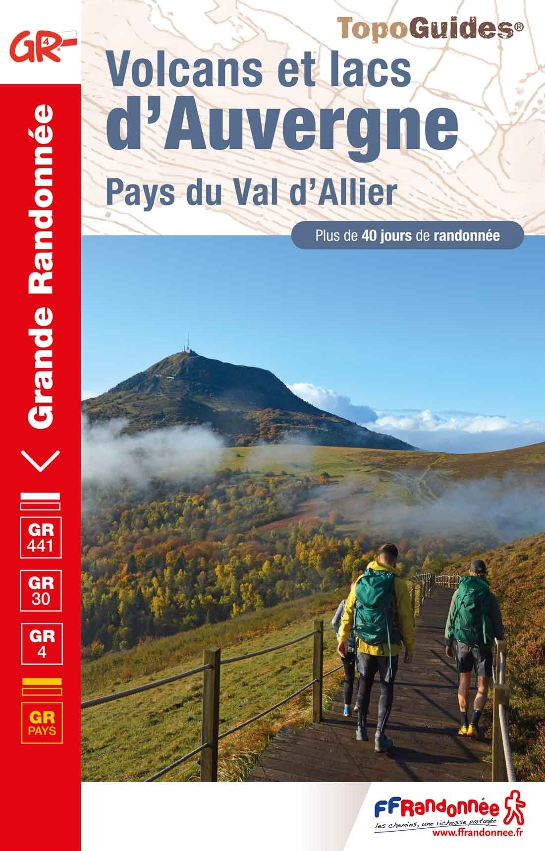
Volcans d'Auvergne, round tour south of Clermont-Ferrand, 194 km
Part of the Auvergne is of volcanic origin, and although the volcanoes are stone dead, their characteristic appearance makes this region a very fine place for hiking. The GR30 is making a round tour south of Clermont-Ferrand. The trail connects the best mountains of the region, the Puy de Dôme (1464 m), Plomb du Cantal (1855 m) and Puy de Sancy (1885 m). In addition the rural countryside preserves its traditional appearance, as well as some old villages.
More trails cross this region: the GR4 and GR400.
Select some tracks
☐Tour des volcans et lacs d'Auvergne, 201km
Kaart

Links
Feiten
Verslagen
Gidsen en kaarten
Overnachting
Organisaties
Reisorganisaties
GPS
Anders
Boeken
De Zwerver
Netherlands
2022
Netherlands
2022
- Also available from:
- The Book Depository, United Kingdom
