Bourgogne
Beschrijving
Paden in deze regio
Links
Feiten
Verslagen
Gidsen en kaarten
Overnachting
Organisaties
Reisorganisaties
GPS
Anders
Boeken
De Zwerver
Netherlands
2016
Netherlands
2016
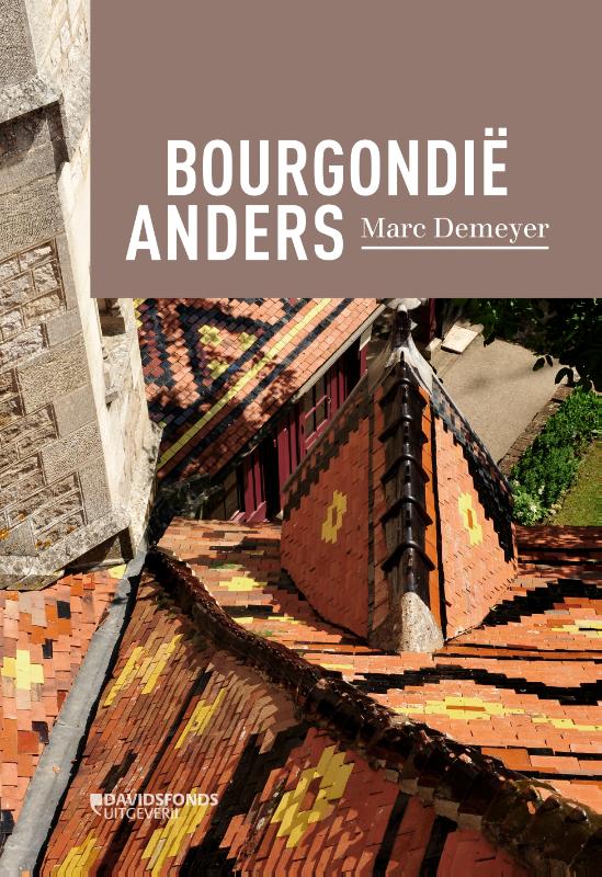
- Reisgids Bourgondië anders | Davidsfonds
- De informatieve bruine borden langsheen de 'Autoroute du Soleil' met de geruststellende boodschap 'Vous êtes en Bourgogne' klinken vertrouwd. Gaan wij er niet prat op 'bourgondiërs' te zijn? Zien we de hertogen van Bourgondië niet defileren doorheen de meest roemrijke bladzijden van onze 'vaderlandse geschiedenis'? Om nog maar te zwijgen van de... Read more
De Zwerver
Netherlands
2019
Netherlands
2019
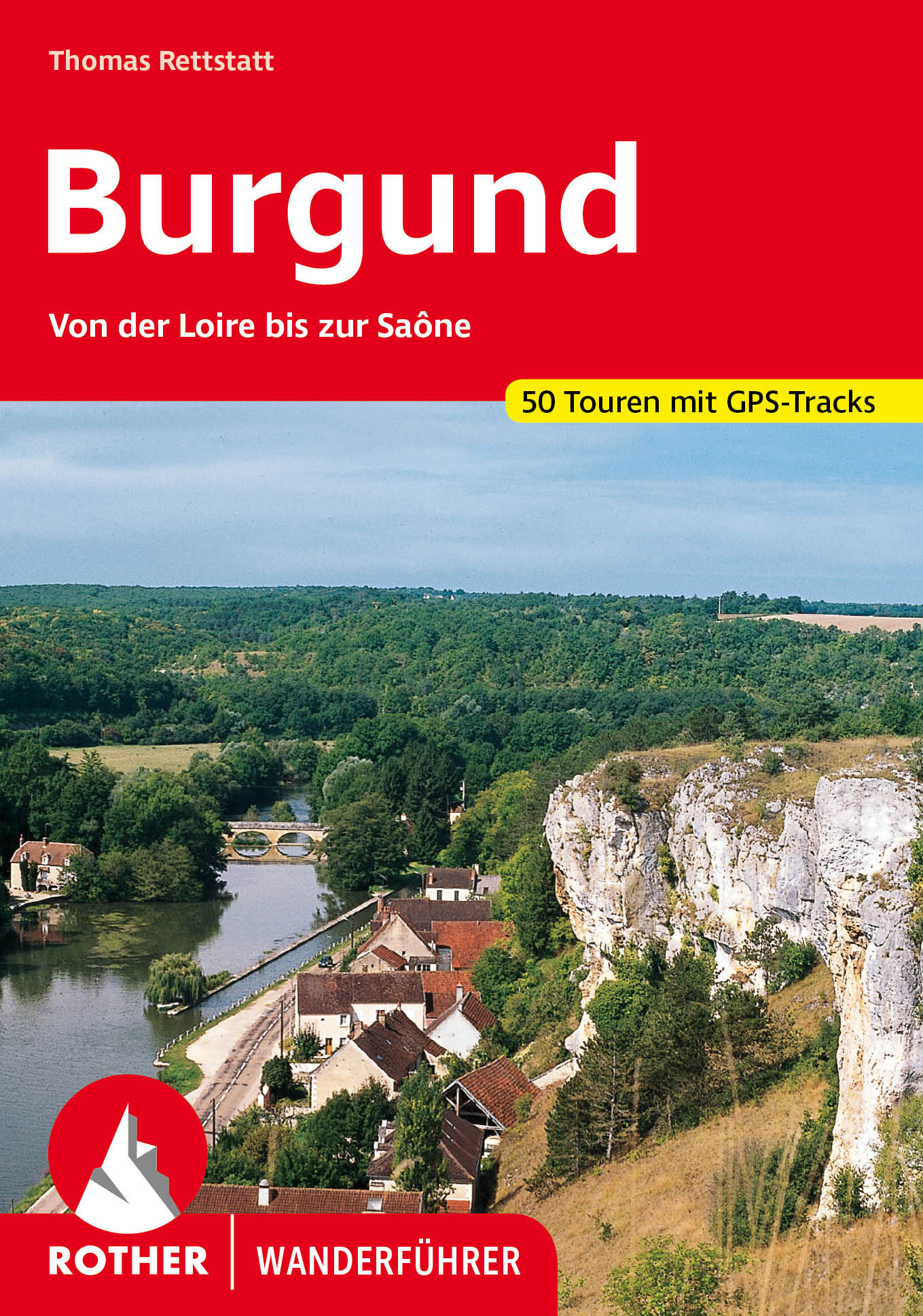
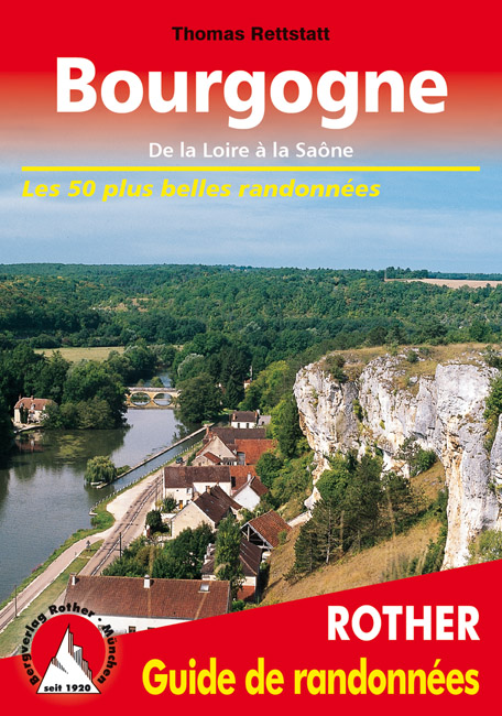
- Wandelgids Bourgogne (Franstalig) | Rother Bergverlag
- De la Loire à la Saône. Les 50 plus belles randonnées Read more

De Zwerver
Netherlands
2014
Netherlands
2014
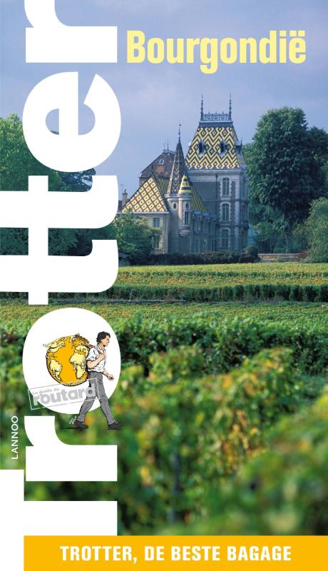
- Reisgids Trotter Bourgondië - Bourgondie | Lannoo
- De Trottergidsen, gebaseerd op de Franse Guides du Routard, zijn bestemd voor de minder conventioneel ingestelde jonge reiziger en staan garant voor enorm veel informatie die bijna vertrouwelijk wordt meegedeeld en steeds gebaseerd is op recente ervaringen. In deze Bourgondie-gids wordt uiteraard serieus aandacht besteed aan de belangrijkste... Read more
De Zwerver
Netherlands
Netherlands
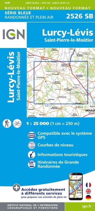
- Topografische kaart - Wandelkaart 2526SB Lurcy-Lévis | IGN - Institut Géographique National
- L'indispensable carte de randonnée IGN aux alentours de Lurcy-Lévis / Saint-Pierre-le-Moûtier. A conserver dans son sac à dos Read more
- Also available from:
- Stanfords, United Kingdom

Stanfords
United Kingdom
United Kingdom
- Lurcy-Levis - Saint-Pierre-le-Moutier IGN 25K Série Bleue Map 2526SB
- Topographic survey of France at 1:25,000 in IGN`s excellent TOP25 / Série Bleue series. All the maps are GPS compatible, with a 1km UTM grid plus latitude and longitude lines at 5’ intervals. Contours are at 5m intervals except for mountainous areas where the maps have contours at 10m intervals, vividly enhanced by hill shading and graphics for... Read more
De Zwerver
Netherlands
Netherlands
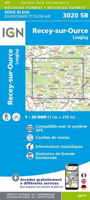
- Topografische kaart - Wandelkaart 3020SB Recey-sur-Ource | IGN - Institut Géographique National
- L'indispensable carte de randonnée IGN aux alentours de Recey-sur-ource et Leuglay. A conserver dans son sac à dos. Read more
- Also available from:
- Stanfords, United Kingdom

Stanfords
United Kingdom
United Kingdom
- Recey-sur-Ource - Leuglay IGN 3020SB
- Topographic survey of France at 1:25,000 in IGN`s excellent TOP25 / Série Bleue series. All the maps are GPS compatible, with a 1km UTM grid plus latitude and longitude lines at 5’ intervals. Contours are at 5m intervals except for mountainous areas where the maps have contours at 10m intervals, vividly enhanced by hill shading and graphics for... Read more
De Zwerver
Netherlands
Netherlands
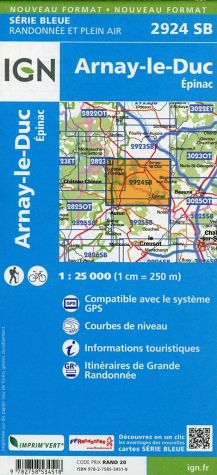
- Wandelkaart - Topografische kaart 2924SB Arnay-le-Duc - Epignac | IGN - Institut Géographique National
- L'indispensable carte de randonnée IGN aux alentours de Arnay-le-Duc et Epinac. A conserver dans son sac à dos. Read more
- Also available from:
- Stanfords, United Kingdom

Stanfords
United Kingdom
United Kingdom
- Arnay-le-Duc - Epinac IGN 2924SB
- Topographic survey of France at 1:25,000 in IGN`s excellent TOP25 / Série Bleue series. All the maps are GPS compatible, with a 1km UTM grid plus latitude and longitude lines at 5’ intervals. Contours are at 5m intervals except for mountainous areas where the maps have contours at 10m intervals, vividly enhanced by hill shading and graphics for... Read more
De Zwerver
Netherlands
Netherlands
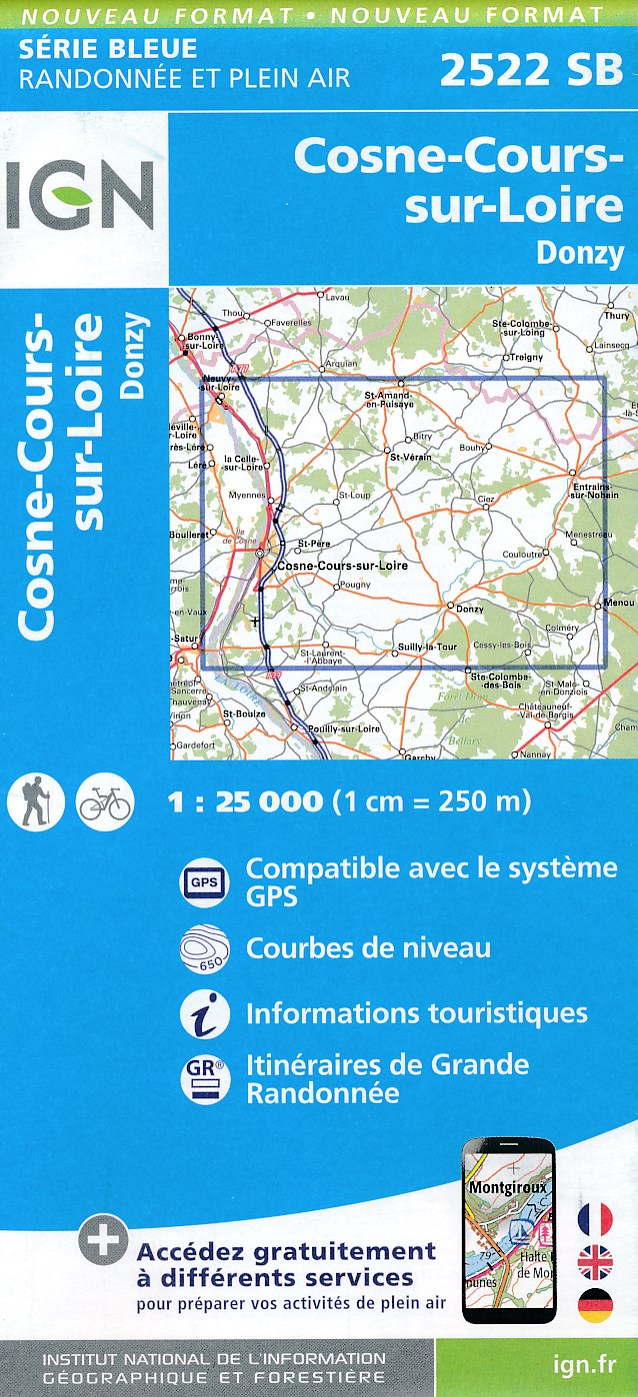
- Wandelkaart 2522SB Cosne-Cours-sur-Loire - Donzy | IGN
- L'indispensable carte de randonnée IGN aux alentours de Cosne-Cours-sur-Loire - Donzy . A conserver dans son sac à dos. Read more
- Also available from:
- Stanfords, United Kingdom

Stanfords
United Kingdom
United Kingdom
- Cosne - Cours-sur-Loire - Donzy IGN 25K Série Bleue Map 2522SB
- Topographic survey of France at 1:25,000 in IGN`s excellent TOP25 / Série Bleue series. All the maps are GPS compatible, with a 1km UTM grid plus latitude and longitude lines at 5’ intervals. Contours are at 5m intervals except for mountainous areas where the maps have contours at 10m intervals, vividly enhanced by hill shading and graphics for... Read more
De Zwerver
Netherlands
Netherlands
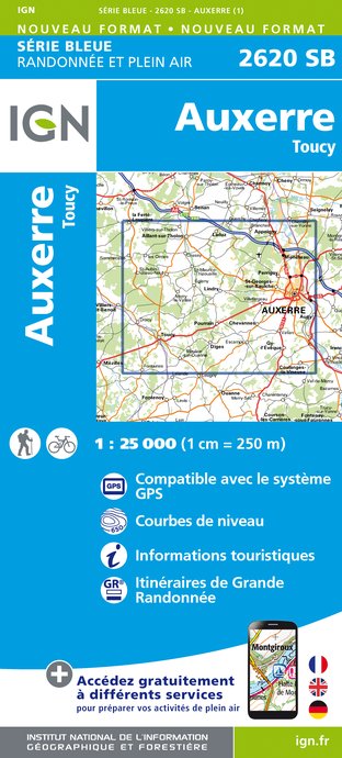
- Wandelkaart - Topografische kaart 2620SB Auxerre - Toucy | IGN - Institut Géographique National
- L'indispensable carte de randonnée IGN aux alentours de Auxerre - Toucy. A conserver dans son sac à dos. Read more
- Also available from:
- Stanfords, United Kingdom

Stanfords
United Kingdom
United Kingdom
- Auxerre - Toucy IGN 2620SB
- Topographic survey of France at 1:25,000 in IGN`s excellent TOP25 / Série Bleue series. All the maps are GPS compatible, with a 1km UTM grid plus latitude and longitude lines at 5’ intervals. Contours are at 5m intervals except for mountainous areas where the maps have contours at 10m intervals, vividly enhanced by hill shading and graphics for... Read more
De Zwerver
Netherlands
Netherlands
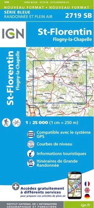
- Wandelkaart - Topografische kaart 2719SB Saint-Florentin - Flogny-la-Chapelle | IGN - Institut Géographique National
- L'indispensable carte de randonnée IGN aux alentours de Saint-Florentin - Flogny-la-Chapelle. A conserver dans son sac à dos. Read more
- Also available from:
- Stanfords, United Kingdom

Stanfords
United Kingdom
United Kingdom
- Saint-Florentin - Flogny-la-Chapelle IGN 25K Série Bleue Map 2719SB
- Topographic survey of France at 1:25,000 in IGN`s excellent TOP25 / Série Bleue series. All the maps are GPS compatible, with a 1km UTM grid plus latitude and longitude lines at 5’ intervals. Contours are at 5m intervals except for mountainous areas where the maps have contours at 10m intervals, vividly enhanced by hill shading and graphics for... Read more
De Zwerver
Netherlands
Netherlands
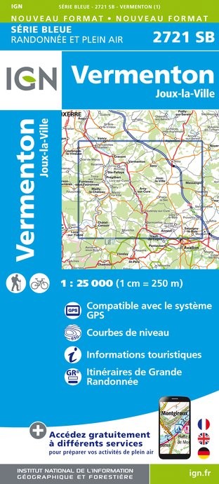
- Topografische kaart - Wandelkaart 2721SB Vermenton | IGN - Institut Géographique National
- L'indispensable carte de randonnée IGN. A conserver dans son sac à dos Read more
- Also available from:
- Stanfords, United Kingdom

Stanfords
United Kingdom
United Kingdom
- Vermenton - Joux-la-Ville IGN 2721SB
- Topographic survey of France at 1:25,000 in IGN`s excellent TOP25 / Série Bleue series. All the maps are GPS compatible, with a 1km UTM grid plus latitude and longitude lines at 5’ intervals. Contours are at 5m intervals except for mountainous areas where the maps have contours at 10m intervals, vividly enhanced by hill shading and graphics for... Read more
Kaarten
De Zwerver
Netherlands
Netherlands
- Also available from:
- Stanfords, United Kingdom

Stanfords
United Kingdom
United Kingdom
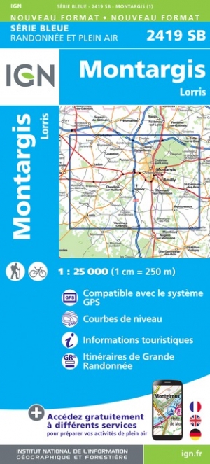
- Montargis - Pannes IGN 2419SB
- Topographic survey of France at 1:25,000 in IGN`s excellent TOP25 / Série Bleue series. All the maps are GPS compatible, with a 1km UTM grid plus latitude and longitude lines at 5’ intervals. Contours are at 5m intervals except for mountainous areas where the maps have contours at 10m intervals, vividly enhanced by hill shading and graphics for... Read more
De Zwerver
Netherlands
Netherlands
- Also available from:
- Stanfords, United Kingdom

Stanfords
United Kingdom
United Kingdom
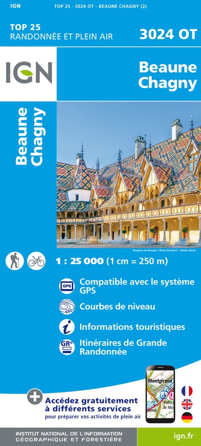
- Beaune - Chagny IGN 3024OT
- Topographic survey of France at 1:25,000 in IGN`s excellent TOP25 / Série Bleue series. All the maps are GPS compatible, with a 1km UTM grid plus latitude and longitude lines at 5’ intervals. Contours are at 5m intervals except for mountainous areas where the maps have contours at 10m intervals, vividly enhanced by hill shading and graphics for... Read more
De Zwerver
Netherlands
Netherlands
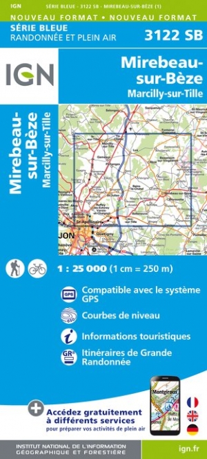
- Wandelkaart - Topografische kaart 3122SB Mirebeau-sur-Bèze | IGN - Institut Géographique National
- Topographic survey of France at 1:25,000 in IGN`s excellent TOP25 / Série Bleue series. All the maps are GPS compatible, with a 1km UTM grid plus latitude and longitude lines at 5’ intervals. Contours are at 5m intervals except for mountainous areas where the maps have contours at 10m intervals, vividly enhanced by hill shading and graphics for... Read more
- Also available from:
- Stanfords, United Kingdom

Stanfords
United Kingdom
United Kingdom
- Mirebeau-sur-Beze - Marcilly-sur-Tille IGN 25K Série Bleue Map 3122SB
- Topographic survey of France at 1:25,000 in IGN`s excellent TOP25 / Série Bleue series. All the maps are GPS compatible, with a 1km UTM grid plus latitude and longitude lines at 5’ intervals. Contours are at 5m intervals except for mountainous areas where the maps have contours at 10m intervals, vividly enhanced by hill shading and graphics for... Read more
De Zwerver
Netherlands
Netherlands

De Zwerver
Netherlands
Netherlands
- Also available from:
- Stanfords, United Kingdom

Stanfords
United Kingdom
United Kingdom
- Le Donjon - Saint-Leon IGN 2728SB
- Topographic survey of France at 1:25,000 in IGN`s excellent TOP25 / Série Bleue series. All the maps are GPS compatible, with a 1km UTM grid plus latitude and longitude lines at 5’ intervals. Contours are at 5m intervals except for mountainous areas where the maps have contours at 10m intervals, vividly enhanced by hill shading and graphics for... Read more
De Zwerver
Netherlands
Netherlands
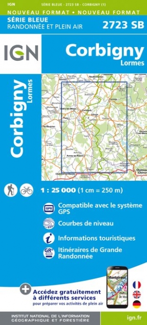
- Wandelkaart - Topografische kaart 2723SB Corbigny | IGN - Institut Géographique National
- Topographic survey of France at 1:25,000 in IGN`s excellent TOP25 / Série Bleue series. All the maps are GPS compatible, with a 1km UTM grid plus latitude and longitude lines at 5’ intervals. Contours are at 5m intervals except for mountainous areas where the maps have contours at 10m intervals, vividly enhanced by hill shading and graphics for... Read more
- Also available from:
- Stanfords, United Kingdom

Stanfords
United Kingdom
United Kingdom
- Corbigny - Lormes IGN 25K Série Bleue Map 2723SB
- Topographic survey of France at 1:25,000 in IGN`s excellent TOP25 / Série Bleue series. All the maps are GPS compatible, with a 1km UTM grid plus latitude and longitude lines at 5’ intervals. Contours are at 5m intervals except for mountainous areas where the maps have contours at 10m intervals, vividly enhanced by hill shading and graphics for... Read more
De Zwerver
Netherlands
Netherlands
De Zwerver
Netherlands
2015
Netherlands
2015
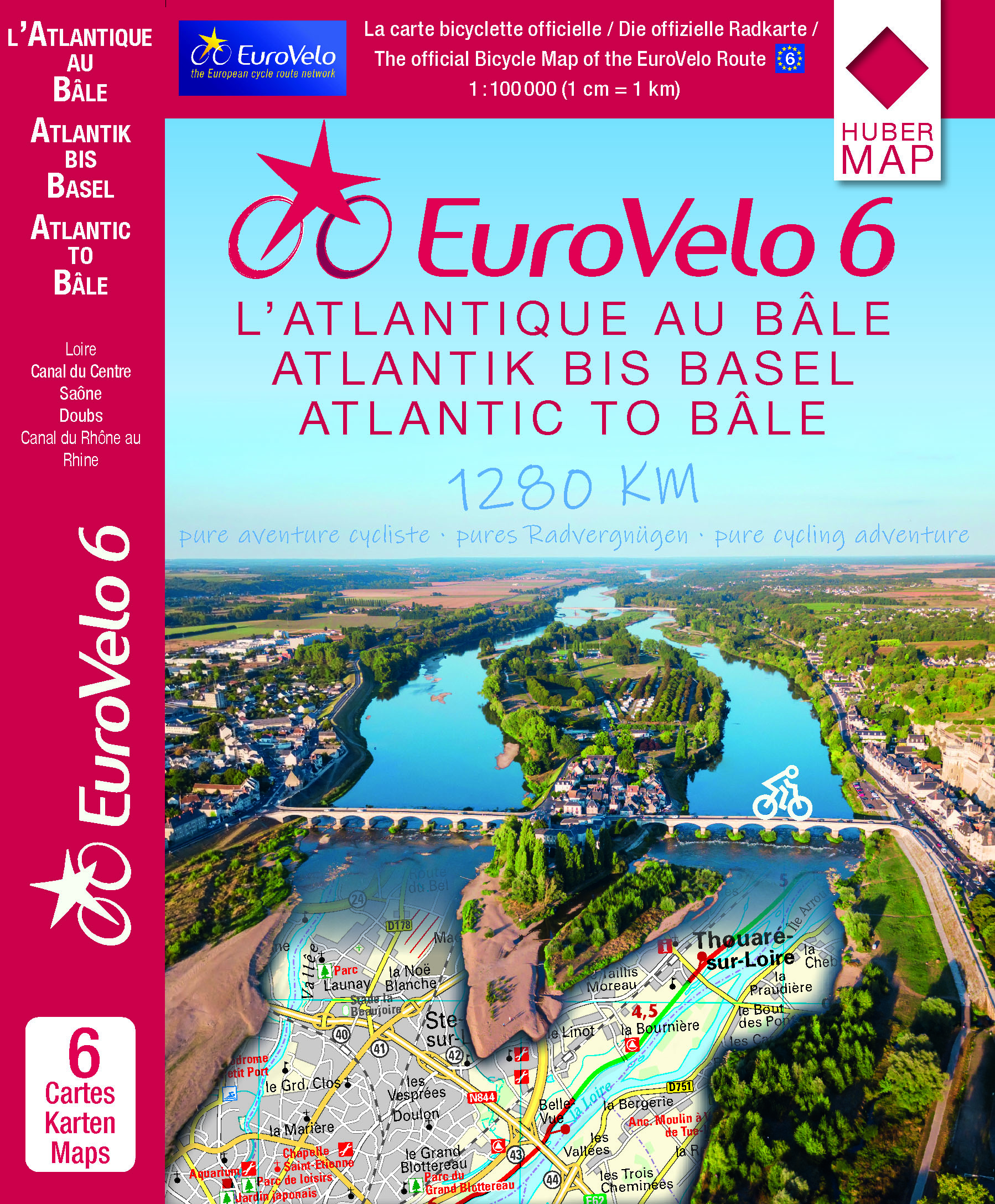
- Fietskaart EuroVelo6 vom Atlantik bis zum Rhein per Rad | Huber Verlag
- 6 cartes pour traverser la France à vélo de l'Atlantique au Rhin ! Michelin diffuse des cartes spéciales EuroVelo 6 au 1:100 000 soit 1cm = 1km. Elles vous apportent toutes les informations pratiques : plans des villes traversées et adresses utiles.Ces cartes numérotées de 1 à 6 sont disponibles... Read more
- Also available from:
- Stanfords, United Kingdom

Stanfords
United Kingdom
2015
United Kingdom
2015
- EuroVelo 6 - Atlantic to Basel 6-Map Set
- EuroVelo Route No. 6 in a six-map set covering the French part of this trans-European cycle route: from the Atlantic along the Loire, the Canal du Centre, the Saône, the Doubs and the Canal du Rhône au Rhin to the Rhine at Basel. The route is presented on six double-sided, GPS compatible maps at 1:100,000 published by Huber Verlag with funding... Read more
De Zwerver
Netherlands
Netherlands
- Also available from:
- Stanfords, United Kingdom

Stanfords
United Kingdom
United Kingdom
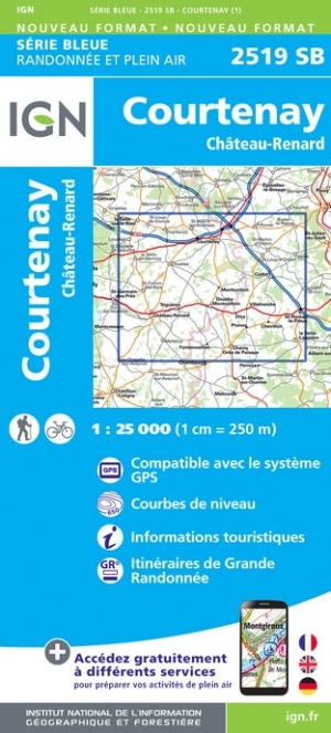
- Courtenay - Chateau-Renard IGN 2519SB
- Topographic survey of France at 1:25,000 in IGN`s excellent TOP25 / Série Bleue series. All the maps are GPS compatible, with a 1km UTM grid plus latitude and longitude lines at 5’ intervals. Contours are at 5m intervals except for mountainous areas where the maps have contours at 10m intervals, vividly enhanced by hill shading and graphics for... Read more
De Zwerver
Netherlands
Netherlands
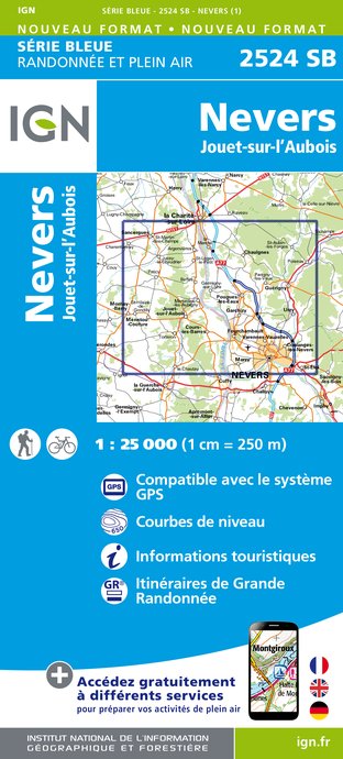
- Wandelkaart - Topografische kaart 2524SB Nevers, Jouet-sur-l'Aubois | IGN - Institut Géographique National
- Topographic survey of France at 1:25,000 in IGN's excellent TOP25 / S Read more
- Also available from:
- Stanfords, United Kingdom

Stanfords
United Kingdom
United Kingdom
- Nevers - Jouet-sur-l`Aubois IGN 25K Série Bleue Map 2524SB
- Topographic survey of France at 1:25,000 in IGN`s excellent TOP25 / Série Bleue series. All the maps are GPS compatible, with a 1km UTM grid plus latitude and longitude lines at 5’ intervals. Contours are at 5m intervals except for mountainous areas where the maps have contours at 10m intervals, vividly enhanced by hill shading and graphics for... Read more
De Zwerver
Netherlands
Netherlands
- Also available from:
- Stanfords, United Kingdom

Stanfords
United Kingdom
United Kingdom
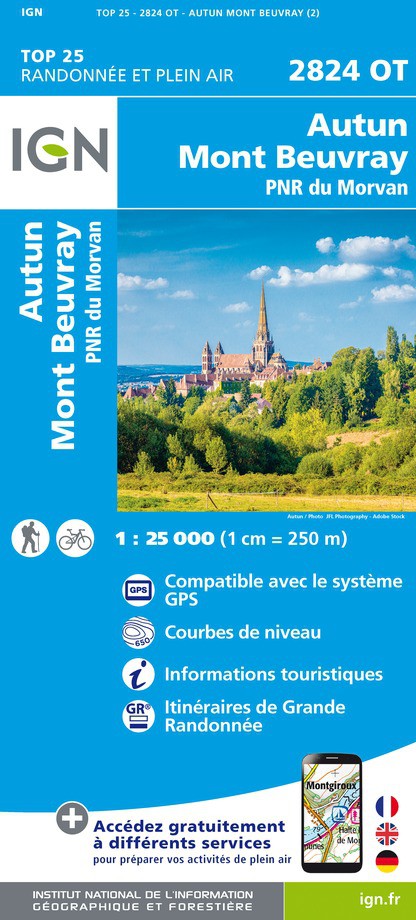
- Autun - Mont Beuvray - PNR du Morvan IGN 2824OT
- Topographic survey of France at 1:25,000 in IGN`s excellent TOP25 / Série Bleue series. All the maps are GPS compatible, with a 1km UTM grid plus latitude and longitude lines at 5’ intervals. Contours are at 5m intervals except for mountainous areas where the maps have contours at 10m intervals, vividly enhanced by hill shading and graphics for... Read more
De Zwerver
Netherlands
Netherlands
- Also available from:
- Stanfords, United Kingdom

Stanfords
United Kingdom
United Kingdom
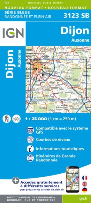
- Dijon - Auxonne IGN 3123SB
- Topographic survey of France at 1:25,000 in IGN`s excellent TOP25 / Série Bleue series. All the maps are GPS compatible, with a 1km UTM grid plus latitude and longitude lines at 5’ intervals. Contours are at 5m intervals except for mountainous areas where the maps have contours at 10m intervals, vividly enhanced by hill shading and graphics for... Read more
De Zwerver
Netherlands
Netherlands
- Also available from:
- Stanfords, United Kingdom

Stanfords
United Kingdom
United Kingdom
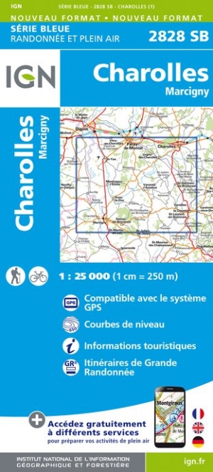
- Charolles - Marcigny IGN 2828SB
- Topographic survey of France at 1:25,000 in IGN`s excellent TOP25 / Série Bleue series. All the maps are GPS compatible, with a 1km UTM grid plus latitude and longitude lines at 5’ intervals. Contours are at 5m intervals except for mountainous areas where the maps have contours at 10m intervals, vividly enhanced by hill shading and graphics for... Read more
Meer kaarten…