
Bretagne
Beschrijving

Popular region in the west of France. Brittany reaches far into the Atlantic Ocean. The coastline is rugged and varied. The main hiking attraction is the 1.800 km long coastal trail, the GR34, coinciding with the E9. The countryside is one of fields and hedges and historic little villages.
Kaart

Paden in deze regio
Links
Feiten
Verslagen
Gidsen en kaarten
Overnachting
Organisaties
Reisorganisaties
GPS
Anders
Boeken

De Zwerver
Netherlands
2022
Netherlands
2022
De Zwerver
Netherlands
2012
Netherlands
2012
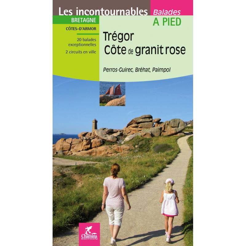
- Wandelgids Trégor, Côte de granit rose | Chamina
- TREGOR COTE DE GRANITE ROSEBretagne : Côtes d'ArmorCOLLECTION LES INCONTOURNABLESA piedLe territoire concernéDépartement des Côtes-d'Armor, région historique du Trégor, un bandeau littoral d'environ 50 Km, des sites touristiques exceptionnels : Perros-Guirec, Lannion, Paimpol, l'île de... Read more
De Zwerver
Netherlands
2023
Netherlands
2023
De Zwerver
Netherlands
2015
Netherlands
2015
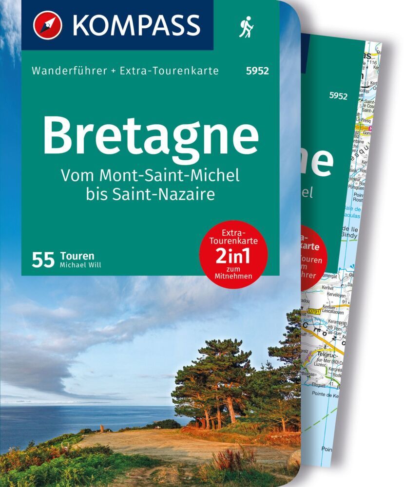
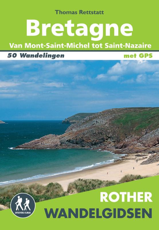
- Wandelgids Bretagne | Uitgeverij Elmar
- van Mont-Saint-Michel tot Nazaire – 50 wandelingen Read more

De Zwerver
Netherlands
2013
Netherlands
2013
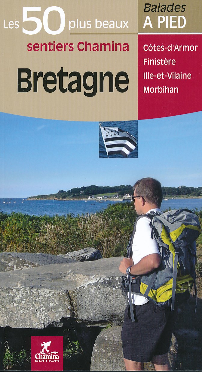
- Wandelgids Bretagne - 50 sentiers | Chamina
- Franstalige wandelgids met 50 dagwandelingen verspreid over heel Bretagne. Goede kaarten en duidelijke informatie over de wandelingen. Les plus belles randonnées, issues d'une sélection rigoureuse, réunies en un seul ouvrage avec carnet pratique, pages consacrées à la découverte patrimoniale, descriptifs détaillés et cartes faciles à lire.... Read more
Kaarten
De Zwerver
Netherlands
Netherlands
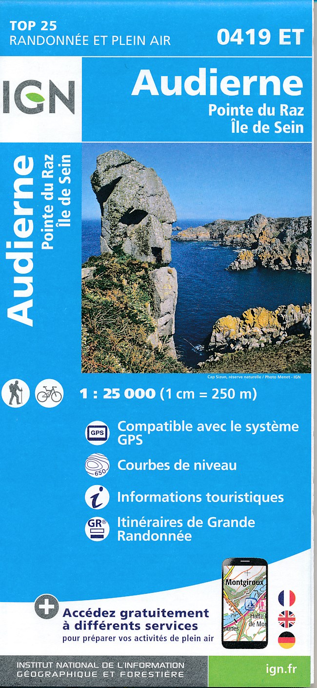
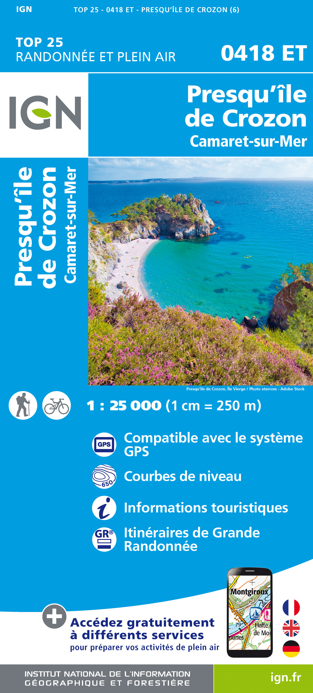
- Wandelkaart - Topografische kaart 0419ET Audierne, Pointe du Raz, Pont-Croix,Plouhinec, Plozévet | IGN - Institut Géographique National
- Topographic survey of France at 1:25,000 in IGN`s excellent TOP25 / Série Bleue series. All the maps are GPS compatible, with a 1km UTM grid plus latitude and longitude lines at 5’ intervals. Contours are at 5m intervals except for mountainous areas where the maps have contours at 10m intervals, vividly enhanced by hill shading and graphics for... Read more
- Also available from:
- Stanfords, United Kingdom

Stanfords
United Kingdom
United Kingdom
- Audierne - Pointe du Raz - Ile de Sein IGN 0419ET
- Topographic survey of France at 1:25,000 in IGN`s excellent TOP25 / Série Bleue series. All the maps are GPS compatible, with a 1km UTM grid plus latitude and longitude lines at 5’ intervals. Contours are at 5m intervals except for mountainous areas where the maps have contours at 10m intervals, vividly enhanced by hill shading and graphics for... Read more
De Zwerver
Netherlands
Netherlands
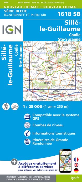
- Wandelkaart - Topografische kaart 1618SB Sillé-le-Guillaum, Conlie Ste-Suzanne | IGN - Institut Géographique National
- Topographic survey of France at 1:25,000 in IGN's excellent TOP25 / S Read more
- Also available from:
- Stanfords, United Kingdom

Stanfords
United Kingdom
United Kingdom
- Sille-le-Guillaume - Conlie - Sainte-Suzanne IGN 1618SB
- Topographic survey of France at 1:25,000 in IGN`s excellent TOP25 / Série Bleue series. All the maps are GPS compatible, with a 1km UTM grid plus latitude and longitude lines at 5’ intervals. Contours are at 5m intervals except for mountainous areas where the maps have contours at 10m intervals, vividly enhanced by hill shading and graphics for... Read more
De Zwerver
Netherlands
Netherlands
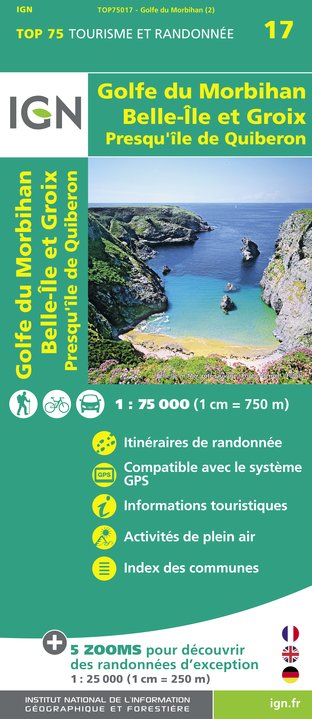
- Wandelkaart - Fietskaart 17 Golfe du Morbihan | IGN - Institut Géographique National
- Une carte générale de très grande lisibilité au 1/75 000 + 5 extraits de TOP25 au 1/25 000 en une seule carte ! Read more
- Also available from:
- Stanfords, United Kingdom

Stanfords
United Kingdom
United Kingdom
- Golfe du Morbihan - Belle-Île et Groix - Presqu`Île de Quiberon IGN 75017
- Golfe du Morbihan - Belle-Île de Groix - Presqu`Île de Quiberon region of Brittany in a series of GPS compatible, contoured TOP 75 maps at 1:75,000 from the IGN, highlighting local and long-distance hiking paths, cycling routes and sites for other recreational activities. The map includes five large panels showing the areas around Ile de Groix,... Read more
De Zwerver
Netherlands
Netherlands
- Also available from:
- Stanfords, United Kingdom

Stanfords
United Kingdom
United Kingdom
De Zwerver
Netherlands
Netherlands
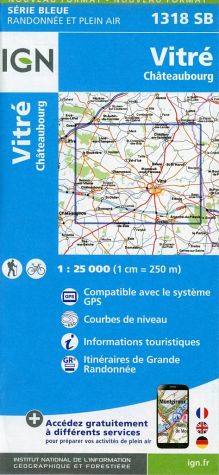
- Wandelkaart - Topografische kaart 1318SB Vitré - Châteaubourg | IGN - Institut Géographique National
- Topographic survey of France at 1:25,000 in IGN`s excellent TOP25 / Série Bleue series. All the maps are GPS compatible, with a 1km UTM grid plus latitude and longitude lines at 5’ intervals. Contours are at 5m intervals except for mountainous areas where the maps have contours at 10m intervals, vividly enhanced by hill shading and graphics for... Read more
- Also available from:
- Stanfords, United Kingdom

Stanfords
United Kingdom
United Kingdom
- Vitré - Châteaubourg IGN 1318SB
- Topographic survey of France at 1:25,000 in IGN`s excellent TOP25 / Série Bleue series. All the maps are GPS compatible, with a 1km UTM grid plus latitude and longitude lines at 5’ intervals. Contours are at 5m intervals except for mountainous areas where the maps have contours at 10m intervals, vividly enhanced by hill shading and graphics for... Read more
De Zwerver
Netherlands
Netherlands
- Also available from:
- Stanfords, United Kingdom

Stanfords
United Kingdom
United Kingdom
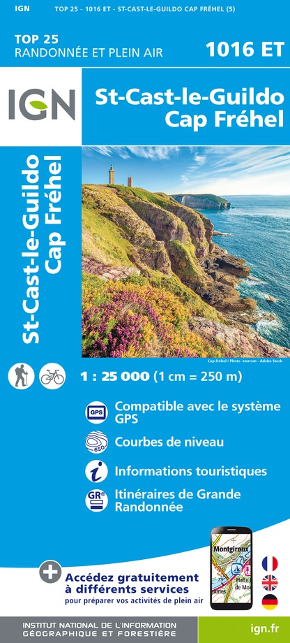
- St-Cast-le-Guido - Cap-Frehel IGN 1016ET
- Topographic survey of France at 1:25,000 in IGN`s excellent TOP25 / Série Bleue series. All the maps are GPS compatible, with a 1km UTM grid plus latitude and longitude lines at 5’ intervals. Contours are at 5m intervals except for mountainous areas where the maps have contours at 10m intervals, vividly enhanced by hill shading and graphics for... Read more
De Zwerver
Netherlands
Netherlands
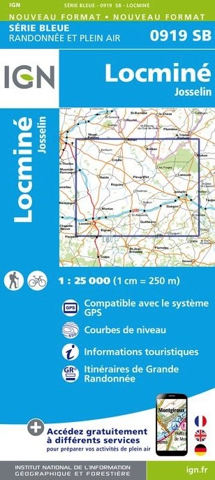
- Wandelkaart - Topografische kaart 0919SB Locmine - Josselin | IGN - Institut Géographique National
- Topographic survey of France at 1:25,000 in IGN's excellent TOP25 / S Read more
- Also available from:
- Stanfords, United Kingdom

Stanfords
United Kingdom
United Kingdom
- Locminé - Josselin IGN 0919SB
- Topographic survey of France at 1:25,000 in IGN`s excellent TOP25 / Série Bleue series. All the maps are GPS compatible, with a 1km UTM grid plus latitude and longitude lines at 5’ intervals. Contours are at 5m intervals except for mountainous areas where the maps have contours at 10m intervals, vividly enhanced by hill shading and graphics for... Read more
De Zwerver
Netherlands
Netherlands
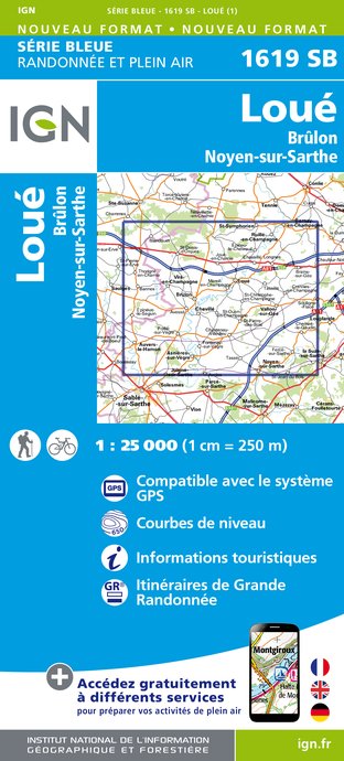
- Wandelkaart - Topografische kaart 1619SB Loué - Brûlon, Noyen-sur-Sarthe | IGN - Institut Géographique National
- Topographic survey of France at 1:25,000 in IGN's excellent TOP25 / S Read more
- Also available from:
- Stanfords, United Kingdom

Stanfords
United Kingdom
United Kingdom
- Loue - Brulon - Noyen-sur-Sarthe IGN 25K Série Bleue Map 1619SB
- Topographic survey of France at 1:25,000 in IGN`s excellent TOP25 / Série Bleue series. All the maps are GPS compatible, with a 1km UTM grid plus latitude and longitude lines at 5’ intervals. Contours are at 5m intervals except for mountainous areas where the maps have contours at 10m intervals, vividly enhanced by hill shading and graphics for... Read more
De Zwerver
Netherlands
Netherlands
- Also available from:
- Stanfords, United Kingdom

Stanfords
United Kingdom
United Kingdom
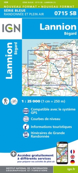
- Lannion - Begard IGN 0715SB
- Topographic survey of France at 1:25,000 in IGN`s excellent TOP25 / Série Bleue series. All the maps are GPS compatible, with a 1km UTM grid plus latitude and longitude lines at 5’ intervals. Contours are at 5m intervals except for mountainous areas where the maps have contours at 10m intervals, vividly enhanced by hill shading and graphics for... Read more