
Massif Central
Beschrijving
Links
Feiten
Verslagen
Gidsen en kaarten
Overnachting
Organisaties
Reisorganisaties
GPS
Anders
Boeken
- Also available from:
- Stanfords, United Kingdom

Stanfords
United Kingdom
2021
United Kingdom
2021
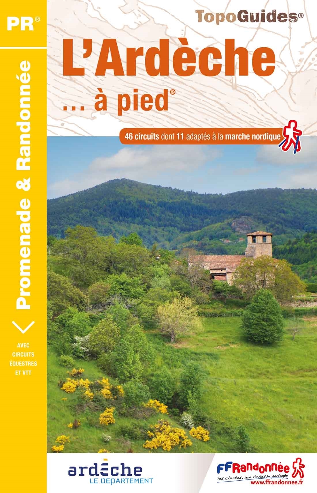
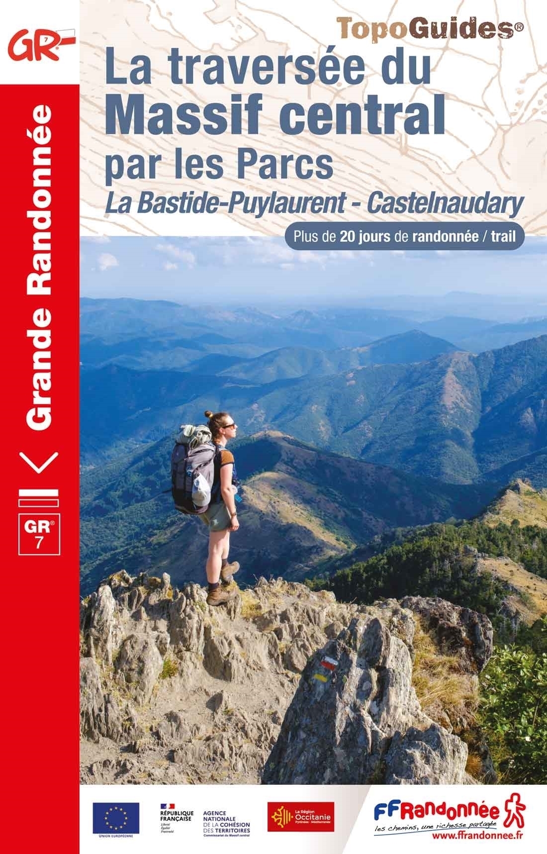
- L`Ardèche à pied D007
- L`Ardèche à pied, FFRP topo-guide Ref. No.D007, with 46 day walks of varying length and difficulty in the department of Ardèche in the Massif Central. Each walk is presented on a separate colour extract from IGN’s topographic survey of France at 1:25,000, with its description cross-referenced to the map. Current edition of this title was... Read more
De Zwerver
Netherlands
2013
Netherlands
2013
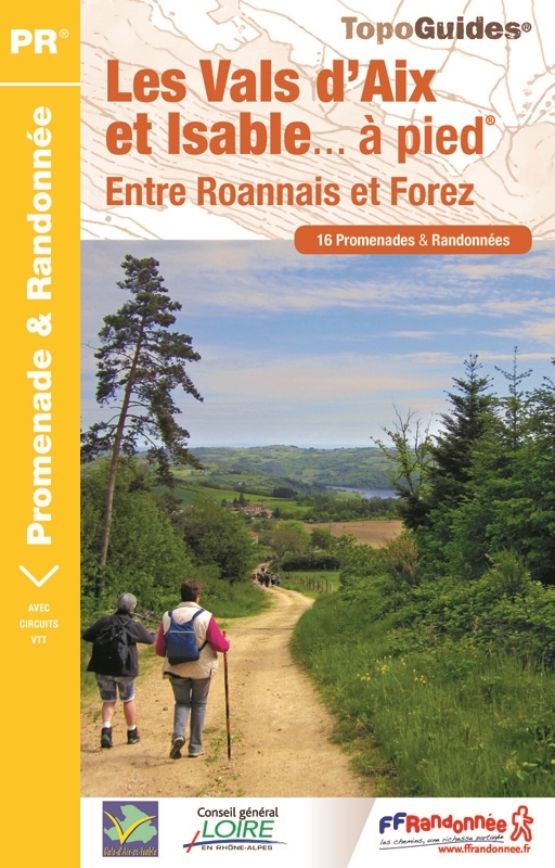
- Wandelgids P424 Les Vals d'Aix et Isable à pied | FFRP
- Guide FFRandonnée Les Vals d'Aix et Isable à pied - P424. PR 15 balades.Desservi par les autoroutes A 72 et A 89, les vals d'Aix et Isable sont à 30 min de Roanne et à moins d'une heure de Saint-Etienne, Lyon ou Clermont-Ferrand. Pour un grand bol d'air au plus près des gorges de la Loire !Nés de deux... Read more
- Also available from:
- Stanfords, United Kingdom

Stanfords
United Kingdom
2013
United Kingdom
2013
- Vals Aix et d`Isable à pied FFRP Topo-guide No. P424
- Vals Aix et d`Isable à pied, FFRP topo-guide Ref. No. P424, with 16 day walks of varying length and difficulty in the countryside between St. Etienne and Roanne. Each walk is presented on a separate colour extract from IGN’s topographic survey of France at 1:25,000, with its description cross-referenced to the map. Current edition of this title... Read more
De Zwerver
Netherlands
2022
Netherlands
2022
De Zwerver
Netherlands
2011
Netherlands
2011
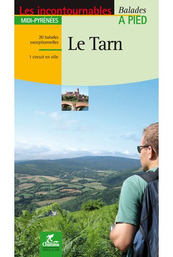
- Wandelgids le Tarn | Chamina
- Franstalige wandelgids (met Ned. woordenlijst) met gedetailleerde kaarten, routebeschrijvingen en wetenswaardigheden. Fraai geillustreerd. Le territoire concerné Couverture harmonieuse de tout le département, de l’Albigeois (Albi est classée Patrimoine Mondial de l’Unesco depuis août 2010), aux monts de Lacaune en passant par la Montagne Noire,... Read more
De Zwerver
Netherlands
2022
Netherlands
2022
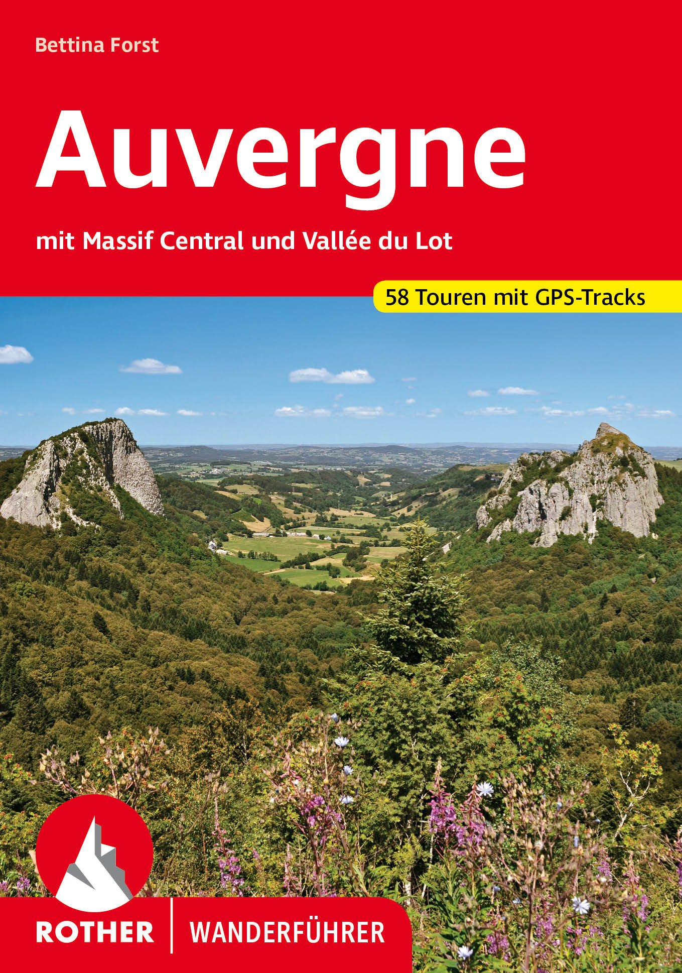
- Wandelgids 246 Auvergne en Massif Central - Vallée du Lot | Rother Bergverlag
- Uitstekende wandelgids met een groot aantal dagtochten in dal en hooggebergte. Met praktische informatie en beperkt kaartmateriaal! Wandelingen in verschillende zwaarte weergegeven in rood/blauw/zwart. Die Auvergne mit dem Massif Central bildet das wilde, grüne Herz Frankreichs. Abseits von Touristenströmen und Autorouten konnte diese... Read more
De Zwerver
Netherlands
2015
Netherlands
2015
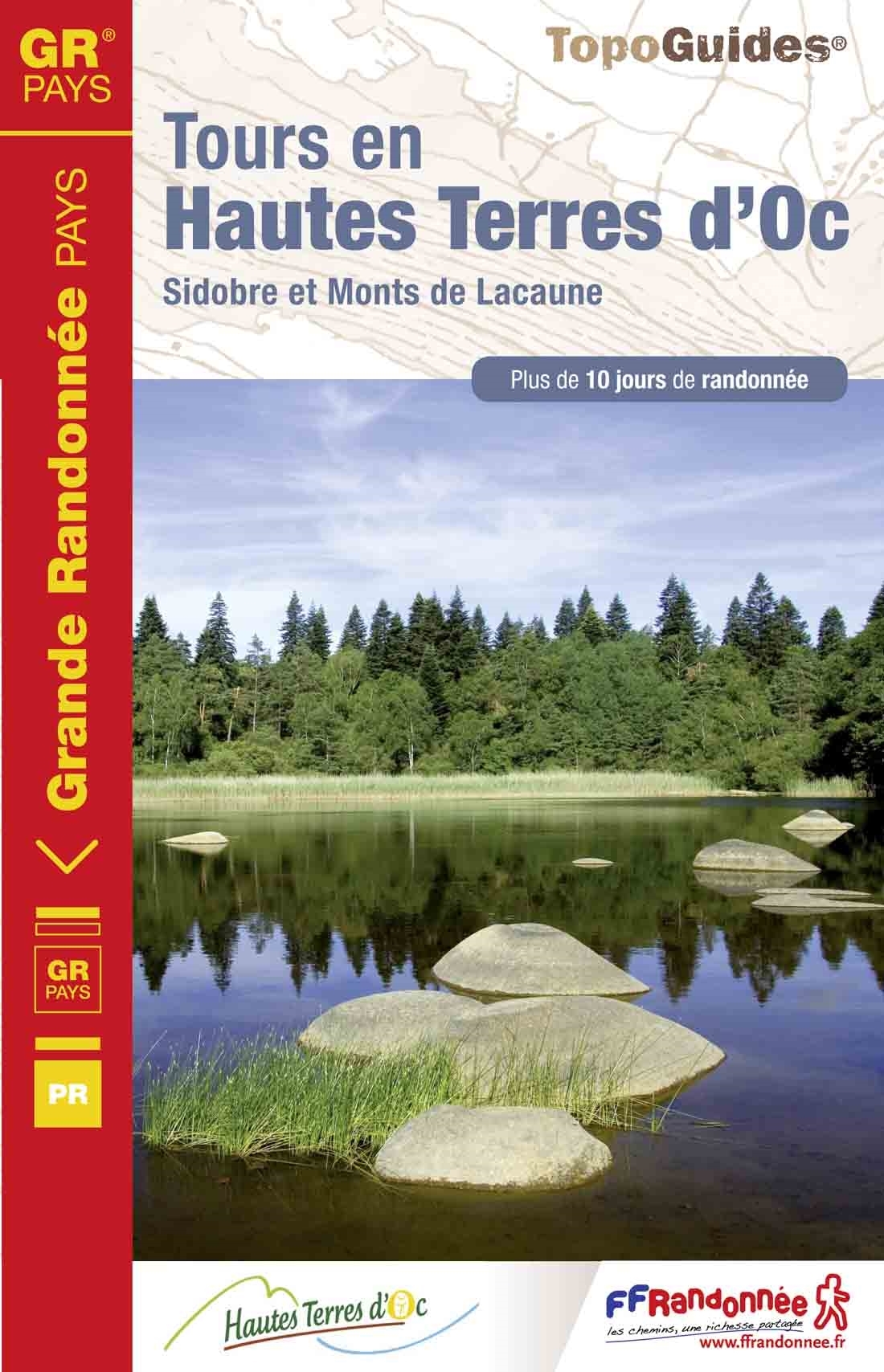
- Wandelgids 811 Tours en Hautes Terres d'Oc | FFRP
- Uitstekende routegids met gedetailleerde kaarten en een routebeschrijving. Fout lopen wordt op deze manier wel erg moeilijk. Met symbolen is weergegeven welke voorzieningen (openbaar vervoer / winkels / overnachtingen) er zijn langs of bij de route. Een nadeel is dat de daadwerkelijke adressen dan weer niet altijd genoemd worden. Alle gidsen... Read more
- Also available from:
- Stanfords, United Kingdom

Stanfords
United Kingdom
2015
United Kingdom
2015
- GR de Pays: Tours en Hautes Terres d`Oc FFRP Topo-guide No. 811
- Tours en Hautes Terres d`Oc, FFRP topoguide Ref. No. 811, covering a 230km circular route in the Parc Naturel Régional du Haut-Languedoc, with additional descriptions of 14 day walks in the region. Current edition of this title was published in July 2015.ABOUT THE FFRP (Fédération française de la randonnée pédestre) TOPOGUIDES: published in a... Read more
De Zwerver
Netherlands
2012
Netherlands
2012
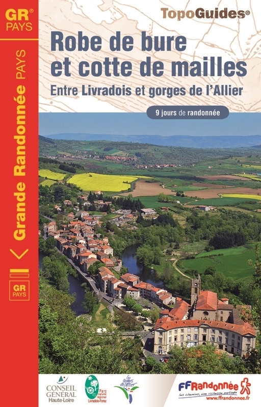
- Wandelgids 4303 Robe de bure et cotte de mailles | FFRP
- Guide FFRandonnée Robe de bure et cotte de mailles - 4303 - GR Pays, 163 km de sentiers GR 'Robe de bure et cotte de maille'… un intitulé pour le moins énigmatique pour un GR® de Pays ! Lieux de culte - la bure - et châteaux - la cotte de maille - tels sont les édifices que cette boucle de 9 jours vous invite à découvrir dans cette moitié... Read more
- Also available from:
- Stanfords, United Kingdom

Stanfords
United Kingdom
2012
United Kingdom
2012
- GRP Robe de Bure et Cotte de Mailles FFRP Topo-guide No. 4303
- Robe de Bure et Cotte de Mailles, FFRP topoguide Ref. no. 4303, a 163km circuit in the Haute-Loire area of the Massif Central between Le-Puy-en-Velay and Brioude. Current edition of this title was published in September 2012.ABOUT THE FFRP (Fédération française de la randonnée pédestre) TOPOGUIDES: published in a handy A5 paperback format, the... Read more
De Zwerver
Netherlands
2012
Netherlands
2012
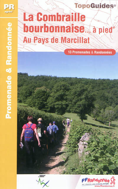
- Wandelgids P034 La Combraille bourbonnaise à pied | FFRP
- Guide FFRandonnée La Combraille Bourbonnaise à pied. PR 13 balades.13 PR champêtres à travers vallées sauvages et chemins tortueux. Formée de plateaux aux formes émoussées, entaillés par les gorges du Cher et de ses affluents, la Combraille compose une unité paysagère emblématique. Milieux humides, bois, landes à bruyères ou à buis et riche... Read more
- Also available from:
- Stanfords, United Kingdom

Stanfords
United Kingdom
2012
United Kingdom
2012
- Combraille Bourbonnaise à pied FFRP Topo-guide No. P034
- Combraille Bourbonnaise à pied, FFRP topo-guide Ref. No. P034, with 13 day walks of varying length and difficulty south of Montluçon. Each walk is presented on a separate colour extract from IGN’s topographic survey of France at 1:25,000, with its description cross-referenced to the map. Current edition of this title was published in May... Read more
Bol.com
Netherlands
2007
Netherlands
2007
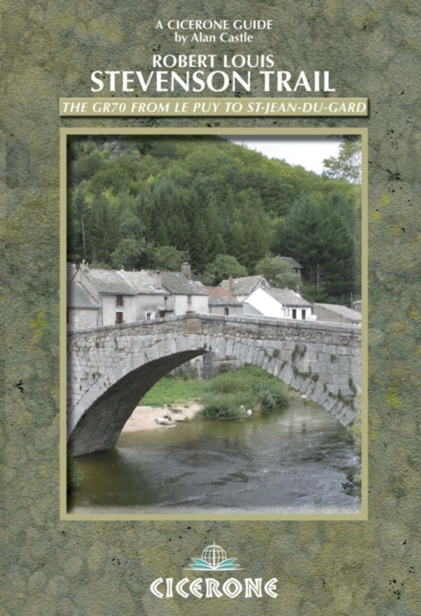
- The Robert Louis Stevenson Trail
- A guidebook for walking in the footsteps of Robert Louis Stevenson as he travelled through France's Velay and Cevennes regions, from Le Puy to St Jean de Gard, accompanied by his faithful donkey, Modestine. At 140km, this route is ideal for people new to walking holidays. Early one morning in the autumn of 1878 Stevenson set out from the sleepy... Read more
- Also available from:
- Bol.com, Belgium
Bol.com
Belgium
2007
Belgium
2007
- The Robert Louis Stevenson Trail
- A guidebook for walking in the footsteps of Robert Louis Stevenson as he travelled through France's Velay and Cevennes regions, from Le Puy to St Jean de Gard, accompanied by his faithful donkey, Modestine. At 140km, this route is ideal for people new to walking holidays. Early one morning in the autumn of 1878 Stevenson set out from the sleepy... Read more
De Zwerver
Netherlands
2020
Netherlands
2020
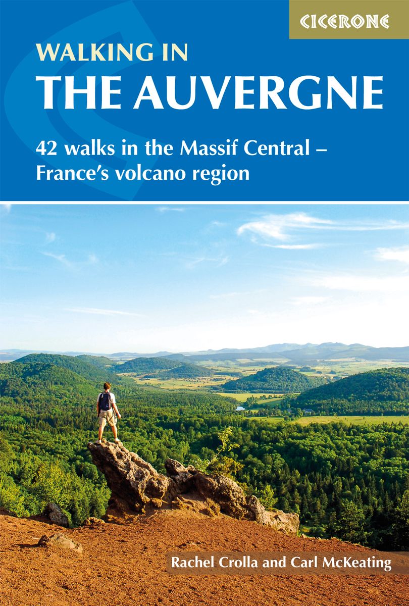
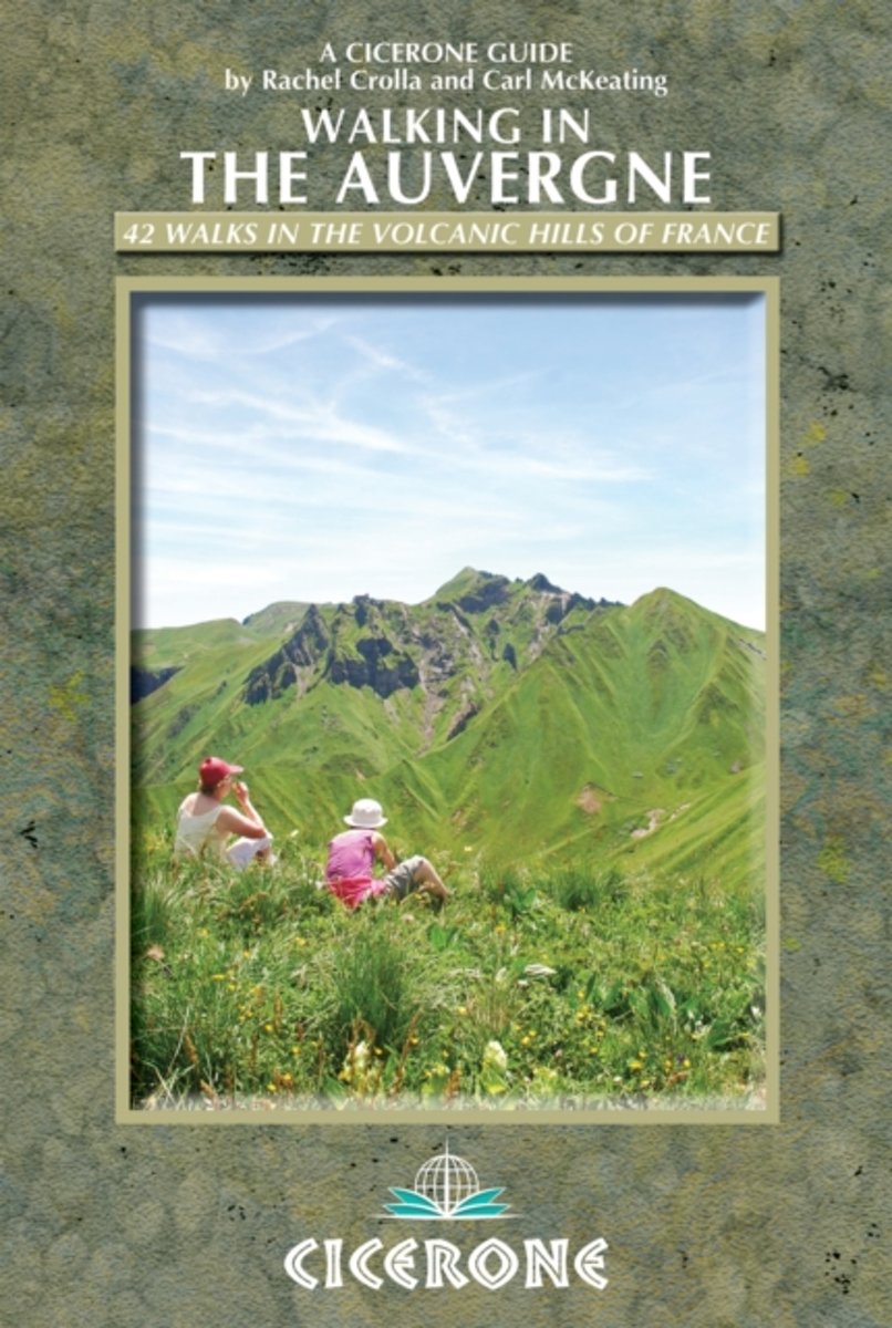
- Wandelgids Walking in the Auvergne | Cicerone
- Guidebook to the Auvergne describing 42 walks between 5 and 20km in the quiet volcanic hills of central France. Five areas are covered: Cantal, Chaine des Puys, Mont Dores, Haute-Loire and Montagne Bourbonnaise. The volcanic geography provides a stunning backdrop to routes suitable for all walkers. Bases in Vichy, Clermont-Ferrand and Puy-en-Velay. Read more
- Also available from:
- Bol.com, Netherlands
- Bol.com, Belgium
- Stanfords, United Kingdom
- The Book Depository, United Kingdom
Bol.com
Netherlands
2013
Netherlands
2013
- Walking in the Auvergne
- This walking guidebook describes 42 day routes exploring the stunning Auvergne region in central France. The walks are ideal for day walkers and hikers, with routes ranging from easy 5km outings to more challenging 20km hikes. All are illustrated with clear mapping and colour photographs. The guide focuses on the best routes in five different... Read more
Bol.com
Belgium
2013
Belgium
2013
- Walking in the Auvergne
- This walking guidebook describes 42 day routes exploring the stunning Auvergne region in central France. The walks are ideal for day walkers and hikers, with routes ranging from easy 5km outings to more challenging 20km hikes. All are illustrated with clear mapping and colour photographs. The guide focuses on the best routes in five different... Read more

Stanfords
United Kingdom
2013
United Kingdom
2013
- Auvergne Walking Guide
- Rachel Crolla and Carl McKeating’s Cicerone guide to Walking in the Auvergne illustrates 42 walks in the volcanic hills of France covering the Puy de Dôme, Cantal and Haute-Loire regions and featuring detailed instructions, clear sketch maps and colour photographs.The book covers the area from Vichy in the north to Le Puy-en-Velay in the... Read more

The Book Depository
United Kingdom
2013
United Kingdom
2013
- Walking in the Auvergne
- 42 Walks in the Massif Central - France's volcano region Read more
Bol.com
Netherlands
Netherlands
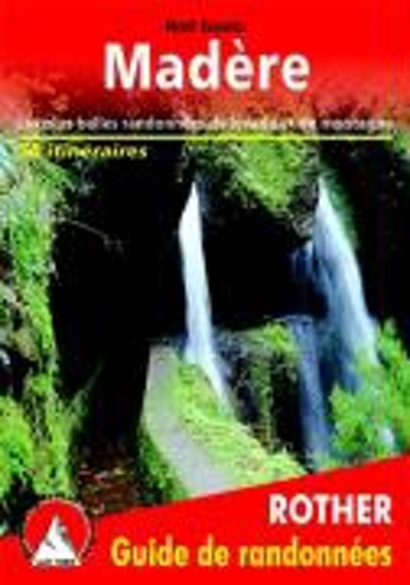
- Mad re (Madeira - franz sische Ausgabe)
- Les plus belles randonnées de levada et de montagne Read more
- Also available from:
- Bol.com, Belgium
Bol.com
Belgium
Belgium
- Mad re (Madeira - franz sische Ausgabe)
- Les plus belles randonnées de levada et de montagne Read more
Bol.com
Netherlands
Netherlands
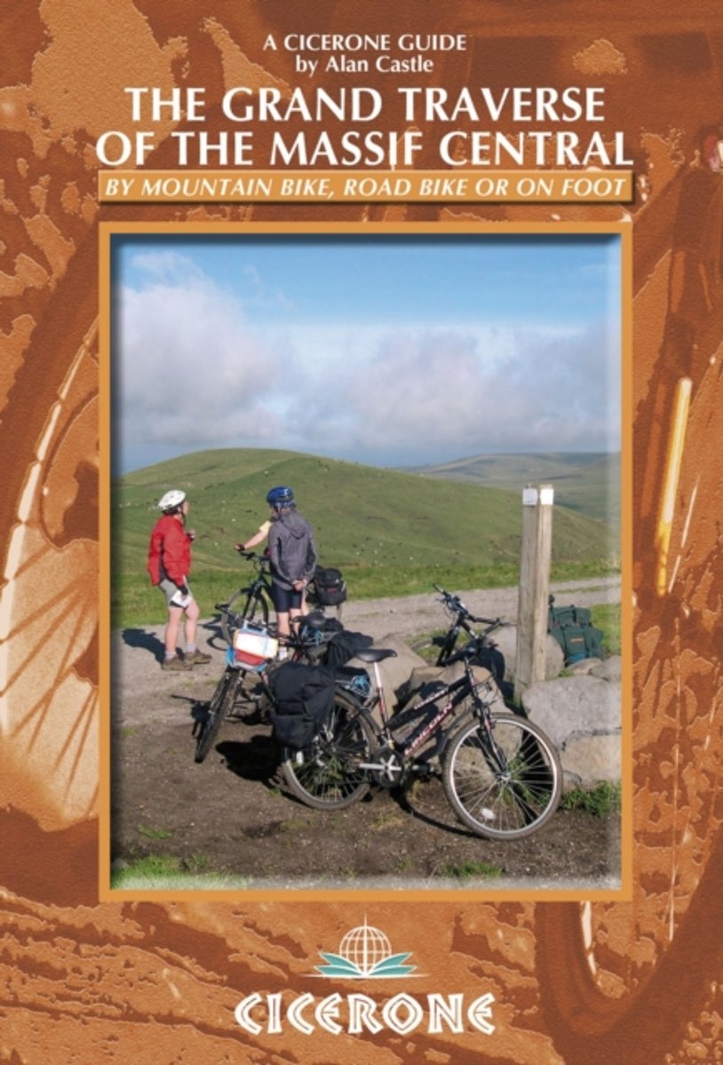
- The Grand Traverse of the Massif Central
- A guide to mountainbiking, cycling or walking the GTMC, Grande Traversee du Massif Central, in southern France, from Clermont-Ferrand in the Auvergne to Montpellier and Sete on the Mediterranean. The GTMC is a long-distance mountain biking trail that crosses the entire Massif Central in France visiting all of the major regions, including the... Read more
- Also available from:
- Bol.com, Belgium
- The Book Depository, United Kingdom
Bol.com
Belgium
Belgium
- The Grand Traverse of the Massif Central
- A guide to mountainbiking, cycling or walking the GTMC, Grande Traversee du Massif Central, in southern France, from Clermont-Ferrand in the Auvergne to Montpellier and Sete on the Mediterranean. The GTMC is a long-distance mountain biking trail that crosses the entire Massif Central in France visiting all of the major regions, including the... Read more

The Book Depository
United Kingdom
United Kingdom
- The Grand Traverse of the Massif Central
- by mountain bike, road bike or on foot Read more
Bol.com
Netherlands
2012
Netherlands
2012
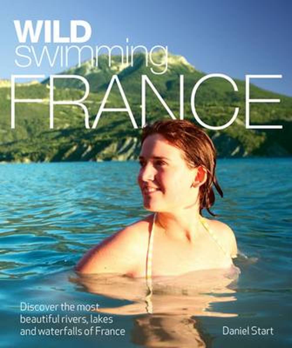
- Wild Swimming France
- Daniel Start returns with a dazzling new travel guide book to France, for families and adventurers alike. * Dip in to the emerald-green plunge pools of Provence and swim beneath the great chateaux of the Loire and Dordogne. * Discover the unspoilt crater lakes of the Massif Central or relax in secluded hot springs in the woodlands of the... Read more
- Also available from:
- Bol.com, Belgium
Bol.com
Belgium
2012
Belgium
2012
- Wild Swimming France
- Daniel Start returns with a dazzling new travel guide book to France, for families and adventurers alike. * Dip in to the emerald-green plunge pools of Provence and swim beneath the great chateaux of the Loire and Dordogne. * Discover the unspoilt crater lakes of the Massif Central or relax in secluded hot springs in the woodlands of the... Read more

Stanfords
United Kingdom
2014
United Kingdom
2014
- Le Val de Sioule à pied FFRP Topo-guide No. P032
- Le Val de Sioule à pied, FFRP topo-guide Ref. No.P032, with 44 day walks of varying length and difficulty in the Massif Central between Vichy and Montluçon. Each walk is presented on a separate colour extract from IGN’s topographic survey of France at 1:25,000, with its description cross-referenced to the map. Current edition of this title was... Read more
Kaarten
Stanfords
United Kingdom
United Kingdom
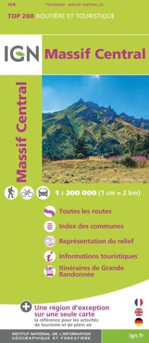
- Massif Central IGN Top200 204
- Pyrénées Ouest map from the IGN at 1:200,000, with excellent presentation of the terrain through contours and vivid relief shading, plenty of names of topographic features, long-distance GR hiking routes, places of interest, etc. The map is designed to provide convenient coverage of the western and central part of the Pyrenees, extending across... Read more

Stanfords
United Kingdom
United Kingdom
- Auvergne-Rhone-Alpes - Massif Central IGN Regional NR14 DOUBLE-SIDED
- IGN publishes its new collection of regional maps including the official division of the 13 new regions. The largest regions are well represented on a single map. These maps are double sided and in 6 languages. Read more

Stanfords
United Kingdom
United Kingdom
- Mgoun Massif, Central High Atlas Mountains
- Mgoun Massif in the Central High Atlas Mountains of Morocco on a ridge-type map at 1:100,000 from West Col Publications. The map is centred on the peak of Oumsoud and covers an area measuring approximately 80 km east/west and 50 km north south. An inset extends the coverage north-eastwards to include the Jbel Aroudan peak.Ridge maps do not... Read more