
GR653 - Via Tolosana
Beschrijving
- Name GR653 - Via Tolosana (GR653)
- Lengte van pad 800 km, 497 mijl
- Lengte in dagen 32 dagen
- Start van pad Arles
- Einde van pad Col du Somport
- Traildino graad EW, Makkelijke wandeling, natuurpad


 Via Tolosana, GR655, Arles - Col du Somport, 800 km, 32 days
The Via Tolosana is the fourth traditional pilgrim way to Santiago de Compostela in France. It starts in Arles and finds its way westward to Montpellier at the Mediterranean coast, through the forests of the Haut-Languedoc and over the plains east and west from Toulouse.
From a walkers point of view, the Via Lemovicensis and Via Podiensis are more interesting. Nevertheless, historically this Way is important, also because it was and is used by pilgrims from Italy. Some people walk from Rome, Via Francigena, to Santiago, using this Way.
Between Italy and Arles they either use the GR653D / Voie d’Arles over the Alps or the GR653A / Via Aurelia along the coast of the Provence. From Col du Somport, follow the Camino Aragonés.
The trail is marked and described as GR655 by the FFRP.
Visit Traildino's overview page for the Way of Saint James / Camino de Santiago..
Kaart


Links
Feiten
Verslagen
Gidsen en kaarten
Overnachting
Organisaties
Reisorganisaties
GPS
Anders
Boeken

Netherlands
2014
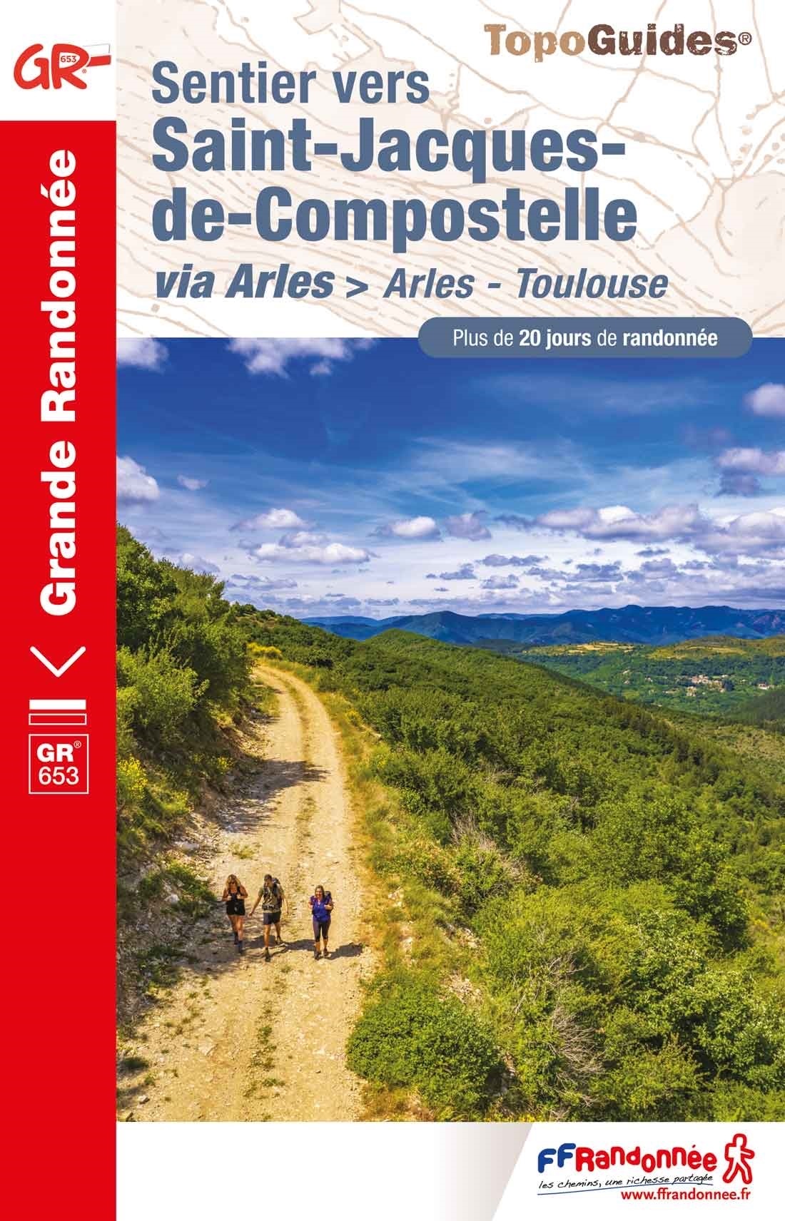
- Wandelgids - Pelgrimsroute 6531 Sentier vers Saint-Jacques-de-Compostelle : Montgenèvre - Arles GR653D | FFRP
- Guide FFRandonnée Sentier vers Saint-Jacques-de-Compostelle : Montgenèvre - Arles - GR 653D - 459 km de sentiers GR. La Voie d'Arles. Un chemin incontournable, à la fois itinéraire jacquaire et ancienne voie romaine, qui vous fera découvrir 4 départements aux paysages contrastés et au... Read more
Netherlands
2017
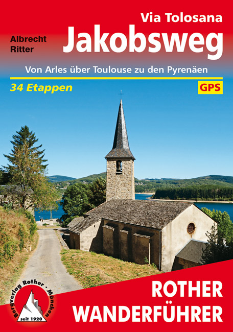
- Wandelgids Via Tolosana - Jakobsweg GR653 | Rother Bergverlag
- Duitstalige wandelgids met zeer goed beschreven wandelingen in de genoemde gebieden. Redelijk kaartmateriaal, vooral de beschrijving van de route en de praktische info die er bij hoort is meer dan goed. 256 Seiten mit 111 Farbabbildungen, 39 Höhenprofile; 48 Wanderkärtchen im Maßstab 1:100.000, eine Übersichtskarte Azurblauer Himmel, die Düfte... Read more
Netherlands
2023