
GR52A - Panoramique du Mercantour
Beschrijving
- Name GR52A - Panoramique du Mercantour (GR52A)
- Lengte van pad 230 km, 143 mijl
- Lengte in dagen 15 dagen
- Start van pad Valle Vermenagna (I)
- Einde van pad Colmars-les-Alpes (F)
- Traildino graad SW, Inspannende wandeling, bergpad
- Huttentrektocht graad T2, Bergtocht


52A
 Valle Vermenagna (Italy) - Colmars-les-Alpes, 230 km, two weeks
The popular GR52A trail traverses the National Parc Mercantour. This Alpine parc can be found in the southeastern corner of France, on the border with Italy. The trail offers both splendid mountain scenery, culture and important archeological remains.
Select some tracks
☐Le Sentier panoramique du Mercantour, 214km
Kaart

Links
Feiten
Verslagen
Gidsen en kaarten
Overnachting
Organisaties
Reisorganisaties
GPS
Anders
Boeken

Stanfords
United Kingdom
2020
United Kingdom
2020
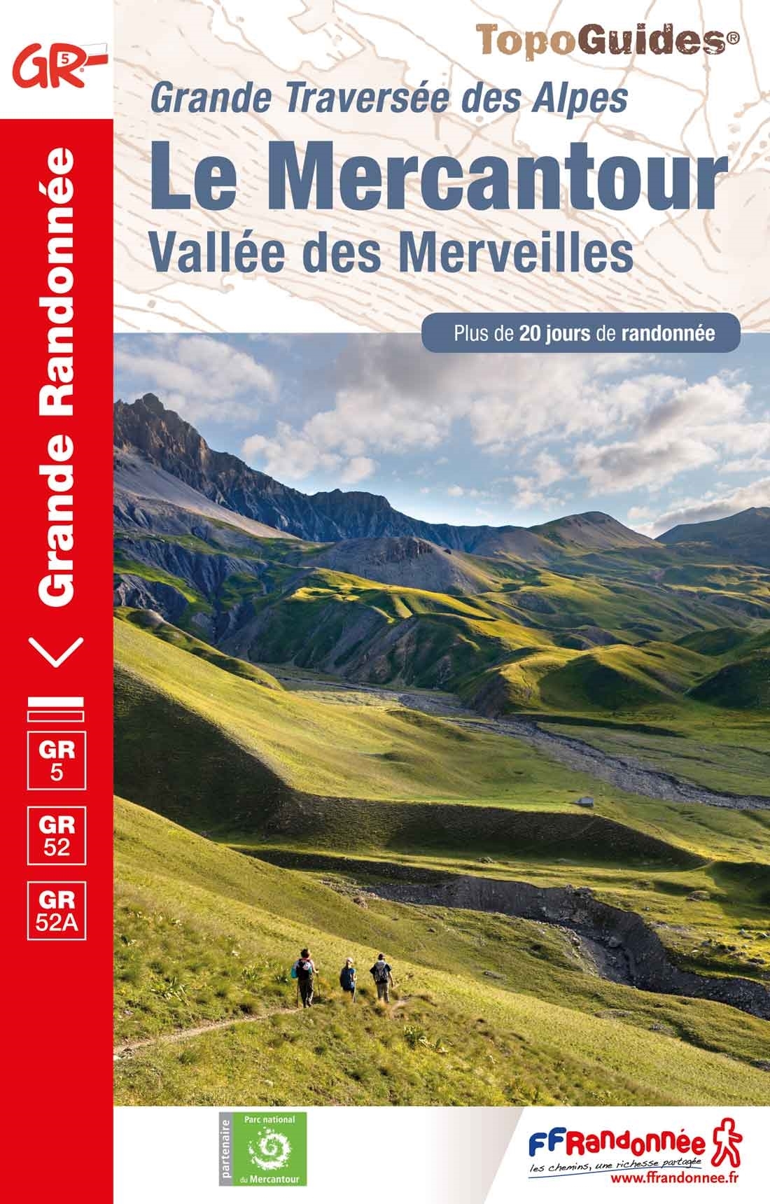
- Le Mercantour - Vallee des Merveilles GR5/GR52/52A
- Le Mercantour: Larche – Nice/Menton, Vallée des Merveilles, FFRP topoguide Ref. No. 507, covering 450km of long-distance routes: the last section of the GR5 in the French Alps from Larche to Nice, an alternative variant off GR5 along the GR52 leading via the Vallée des Merveilles to Menton, plus GR52A – Panoramique du Mecantour from Col du... Read more