
Allgäuer Alpen
Beschrijving

In the southernmost part of Germany, the Allgäuer Alps is a very popular hiking area. Here, Germany has a piece of beautiful alpine country. The region counts more than 40 huts, and numerous trails. The area is best accessible from the town of Oberstdorf. The Allgäuer Alps run into Austria, and border on the eastern side to the Lech Valley.
The Allgäuer Alps are green in nature, with plenty of alpine meadows (famous Allgäuer cheese). In the northwest lie the Allgäuer Voralpen, a beautiful and spacious area for those who do not want to walk too rough. The eastern ranges form the higher parts, with peaks up to 2600 meters. For those who like steep heights and some easy climbing, the Heilbronner Weg is recommended. This is a ridgewalk following the Austrian-German border.
Due to its popularity, you will find many (German) web sites specifically about this area.
Kaart


Paden in deze regio
Links
Feiten
Verslagen
Gidsen en kaarten
Overnachting
Organisaties
Reisorganisaties
GPS
Anders
Boeken
Netherlands
2016
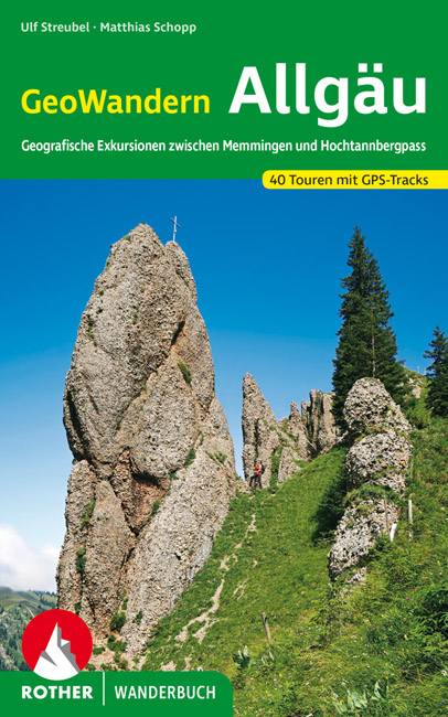
- Wandelgids Wilde Wege Allgäu - Lechtal | Rother Bergverlag
- De ‘Rother Wanderbücher’ behandelen telkens de 50 mooiste wandelingen, die variëren van eenvoudige kindvriendelijke wandelingen tot routes die aanzienlijk meer ervaring vereisen. Uitvoerige routebeschrijvingen, een aantrekkelijke lay-out met vele kleurenfoto’s; niets aan duidelijkheid te wensen gelaten hoogteprofielen, kaartjes met de... Read more


Netherlands
2022
Netherlands
2014
- Wandelgids mit Kindern Oberstdorf - Kleinwalsertal | Rother Bergverlag
- 160 Seiten mit 144 Farbabbildungen 24 Höhenprofile, 24 Wanderkärtchen im Maßstab 1:25.000 bis 50.000, eine Übersichtskarte, Tourenmatrix, GPS-Tracks zum Download Wer mit seinen Kindern ereignisreiche Urlaubstage erleben möchte, ist in Oberstdorf und dem angrenzenden Kleinwalsertal genau richtig. Unzählige klare Gebirgsbäche, fantastische... Read more
Netherlands
2013
- Wandelgids Lechweg | Conrad Stein Verlag
- Der Weg ist das Ziel. 1. Auflage. Read more


Netherlands
2022

Netherlands
2021
- Wandelgids Arlberg - Paznaun | Rother Bergverlag
- Uitstekende wandelgids met een groot aantal dagtochten in dal en hooggebergte. Met praktische informatie en beperkt kaartmateriaal! Wandelingen in verschillende zwaarte weergegeven in rood/blauw/zwart. Zwischen den Allgäuer Alpen und der Silvretta liegt ein wahres Wanderparadies. Dabei darf man sich von den im Untertitel erwähnten Alpin-Zentren... Read more

Kaarten

Netherlands
- Wandelkaart 2.4 Nafpaktos - Panaitoliko - Karpenisi | Anavasi
- Prespa - Vitsi – Voras area of northern Greece at 1:50,000 on a light, waterproof and tear-resistant, GPS compatible, contoured map from Anavasi, with recommendations for three hiking trails and notes on the E4 and E6 cross-European trails. The map is double-sided; coverage in the west starts from the Prespa Lake on the border with Albania and... Read more
Netherlands
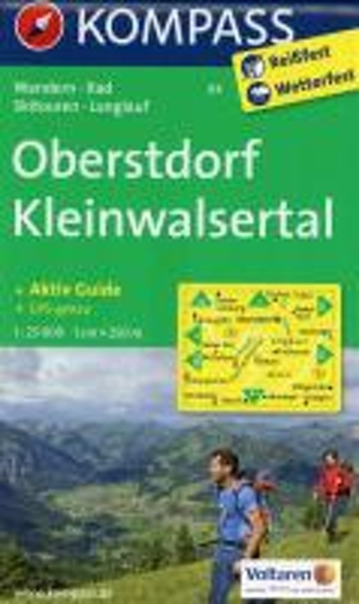
- Oberstdorf-Kleinwalsertal WK03
- Deze Kompass wandelkaart, schaal 1:25 000, is ideaal om uw route uit te stippelen en om onderweg te gebruiken • naast de bekende bestemmingen, worden ook de minder bekende vermeld • openbaar vervoer bij begin- of eindpunt van een route aangegeven • eenvoudige wandelingen tot pittige (berg)tochten, voor getrainde en ongetrainde wandelaars • met... Read more
- Also available from:
- Bol.com, Belgium
Belgium
- Oberstdorf-Kleinwalsertal WK03
- Deze Kompass wandelkaart, schaal 1:25 000, is ideaal om uw route uit te stippelen en om onderweg te gebruiken • naast de bekende bestemmingen, worden ook de minder bekende vermeld • openbaar vervoer bij begin- of eindpunt van een route aangegeven • eenvoudige wandelingen tot pittige (berg)tochten, voor getrainde en ongetrainde wandelaars • met... Read more
Netherlands
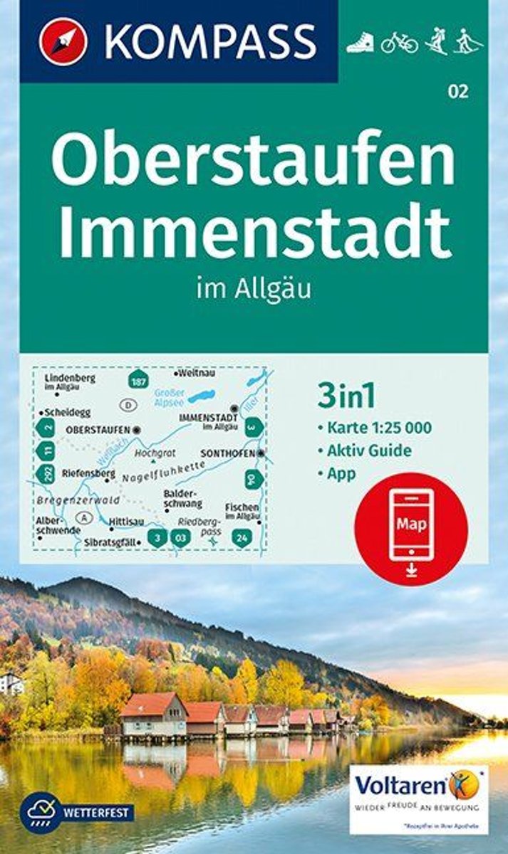
- Oberstaufen, Immenstadt im Allgäu
- Deze Kompass wandelkaart, schaal 1:50 000, is ideaal om uw route uit te stippelen en om onderweg te gebruiken; naast de bekende bestemmingen, worden ook de minder bekende vermeld; openbaar vervoer bij begin- of eindpunt van een route aangegeven; eenvoudige wandelingen tot pittige (berg)tochten, voor getrainde en ongetrainde wandelaars; met heel... Read more
- Also available from:
- Bol.com, Belgium
- Stanfords, United Kingdom
Belgium
- Oberstaufen, Immenstadt im Allgäu
- Deze Kompass wandelkaart, schaal 1:50 000, is ideaal om uw route uit te stippelen en om onderweg te gebruiken; naast de bekende bestemmingen, worden ook de minder bekende vermeld; openbaar vervoer bij begin- of eindpunt van een route aangegeven; eenvoudige wandelingen tot pittige (berg)tochten, voor getrainde en ongetrainde wandelaars; met heel... Read more

United Kingdom
- Oberstaufen - Immenstadt im Allgäu Kompass 02
- Oberstaufen - Immenstadt im Allgäu area of the German Alps in a detailed, GPS compatible map at 1:50,000 from Kompass with local and long-distance footpaths, cycling routes, accommodation, etc, printed on durable, waterproof and tear-resistant synthetic paper. KOMPASS HIKING & RECREATIONAL MAPS:This title is part of an extensive series covering... Read more
Netherlands
- FB WK082 Bad Aussee • Totes Gebirge • Bad Mitterndorf • Tauplitz
- Aufgrund der ;bersichtlichen und detailgetreuen, digitalen Kartographie sowie der ideal gew;hlten Ma;st;be sind freytag ; berndt Wanderkarten der perfekte Begleiter beim Wandern und Bergsteigen. Sie werden regelm;;ig ;berarbeitet und enthalten aktualisierte Informationen zu Wanderwegen, Rad- und Mountainbikestrecken, H;tten, Naturdenkm;lern,... Read more
- Also available from:
- Bol.com, Belgium
Belgium
- FB WK082 Bad Aussee • Totes Gebirge • Bad Mitterndorf • Tauplitz
- Aufgrund der ;bersichtlichen und detailgetreuen, digitalen Kartographie sowie der ideal gew;hlten Ma;st;be sind freytag ; berndt Wanderkarten der perfekte Begleiter beim Wandern und Bergsteigen. Sie werden regelm;;ig ;berarbeitet und enthalten aktualisierte Informationen zu Wanderwegen, Rad- und Mountainbikestrecken, H;tten, Naturdenkm;lern,... Read more

Netherlands
- FB WK364 Bregenzerwald
- Aufgrund der übersichtlichen und detailgetreuen, digitalen Kartographie sowie der ideal gewählten Maßstäbe sind freytag & berndt Wanderkarten der perfekte Begleiter beim Wandern und Bergsteigen. Sie werden regelmäßig überarbeitet und enthalten aktualisierte Informationen zu Wanderwegen, Rad- und Mountainbikestrecken, Hütten, Naturdenkmälern,... Read more
- Also available from:
- Bol.com, Belgium
- Stanfords, United Kingdom
- The Book Depository, United Kingdom
Belgium
- FB WK364 Bregenzerwald
- Aufgrund der übersichtlichen und detailgetreuen, digitalen Kartographie sowie der ideal gewählten Maßstäbe sind freytag & berndt Wanderkarten der perfekte Begleiter beim Wandern und Bergsteigen. Sie werden regelmäßig überarbeitet und enthalten aktualisierte Informationen zu Wanderwegen, Rad- und Mountainbikestrecken, Hütten, Naturdenkmälern,... Read more

United Kingdom
- Bregenz Forest F&B WK364
- Bregenz - Bregenzerwald area of the Austrian Alps presented at 1:50,000 in a series of contoured and GPS compatible outdoor leisure map from Freytag & Berndt with hiking and cycling routes, mountain huts, campsites and youth hostels, local bus stops, plus other tourist information. To see the list of currently available titles in this series... Read more

United Kingdom
- Bregenz Forest Hiking + Leisure Map 1:50 000
- Bregenz - Bregenzerwald area of the Austrian Alps presented at 1:50,000 in a series of contoured and GPS compatible outdoor leisure map from Freytag & Berndt with hiking and cycling routes, mountain huts, campsites and youth hostels, local bus stops, plus other tourist information. To see the list of currently available titles in this series... Read more
Netherlands
- Mt Dikti - Mt Selena Anavasi
- he large karstic basin known as Lassithi Plateau is surrounded by mountains. The highest and most famous is Mt Dikti with its highest summits Afendis Christos (Madara) and Spathi. The European Trail E4 crosses the area following a very interesting route. The map includes the detailed recording of the E4 trail and many more paths, leading to... Read more
- Also available from:
- Bol.com, Belgium
Belgium
- Mt Dikti - Mt Selena Anavasi
- he large karstic basin known as Lassithi Plateau is surrounded by mountains. The highest and most famous is Mt Dikti with its highest summits Afendis Christos (Madara) and Spathi. The European Trail E4 crosses the area following a very interesting route. The map includes the detailed recording of the E4 trail and many more paths, leading to... Read more
Netherlands
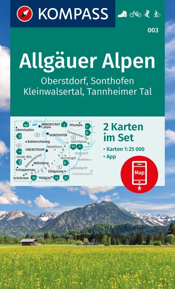
- Kompass WK3 Allgäuer Alpen, Kleinwalsertal
- Deze Kompass wandelkaart, schaal 1:50 000, is ideaal om uw route uit te stippelen en om onderweg te gebruiken • naast de bekende bestemmingen, worden ook de minder bekende vermeld • openbaar vervoer bij begin- of eindpunt van een route aangegeven • eenvoudige wandelingen tot pittige (berg)tochten, voor getrainde en ongetrainde wandelaars • met... Read more
- Also available from:
- Bol.com, Belgium
Belgium
- Kompass WK3 Allgäuer Alpen, Kleinwalsertal
- Deze Kompass wandelkaart, schaal 1:50 000, is ideaal om uw route uit te stippelen en om onderweg te gebruiken • naast de bekende bestemmingen, worden ook de minder bekende vermeld • openbaar vervoer bij begin- of eindpunt van een route aangegeven • eenvoudige wandelingen tot pittige (berg)tochten, voor getrainde en ongetrainde wandelaars • met... Read more

United Kingdom
- Goms - Aletsch
- Goms - Aletsch area of the Bernese Oberland at 1:50,000 in a series from Hallwag covering Switzerland’s popular hiking regions on light, waterproof and tear-resistant maps highlighting long-distance paths: the nine national routes plus special regional routes, as well as other local hiking trails.Cartography is similar to that used both in... Read more

United Kingdom
- Styrian Winelands - Southwest Styria F&B WK411
- Styrian Winelands area south-eastern Austria presented at 1:50,000 in a series of contoured and GPS compatible outdoor leisure map from Freytag & Berndt with hiking and cycling routes, mountain huts, campsites and youth hostels, local bus stops, plus other tourist information. To see the list of currently available titles in this series please... Read more
United Kingdom
- Adelboden - Lenk
- Adelboden - Lenk area of the western Bernese Oberland, from Gstaad to Frutigen and Leukerbad at 1:50,000 in a series from Hallwag covering Switzerland’s popular hiking regions on light, waterproof and tear-resistant maps highlighting long-distance paths: the nine national routes plus special regional routes, as well as other local hiking... Read more

United Kingdom
- Maritime and Ligurian Alps IGC 8
- A cross-border area of the Maritime and Ligurian Alps at 1:50,000, with coverage on the Italian side including Limone, Alpi Maritime PN and Alta Valle Pesio e Tanaro PN, plus in France Tende, Vallée des Merveilles and Saorge, in a series contoured hiking maps with local trails, long-distance footpaths, mountain accommodation, etc. from the... Read more

Netherlands
- Wandelkaart 04 Massiccio del Monte Bianco | IGC - Istituto Geografico Centrale
- The Mont Blanc Massif in a series contoured hiking maps at 1:50,000 with local trails, long-distance footpaths, mountain accommodation, etc, from the Turin based Istituto Geografico Centrale. This new edition published in late 2013 highlights, among other routes, the Alta Via 1 and the northern section of the Alta Via 2, both of which join up... Read more
- Also available from:
- Stanfords, United Kingdom

United Kingdom
- Mont Blanc Massif IGC 4
- The Mont Blanc Massif in a series contoured hiking maps at 1:50,000 with local trails, long-distance footpaths, mountain accommodation, etc, from the Turin based Istituto Geografico Centrale. The map highlights, among other routes, the Alta Via 1 and the northern section of the Alta Via 2, both of which join up with TMB, as well as the local... Read more

United Kingdom
- Olympus Geopsis 139
- Mt Olympus in a series of waterproof and tear-resistant hiking maps at scales varying from 1:50,000 to 1:10,000, with a UTM grid for GPS users. Contour interval varies depending on the scale, on most maps it is 20m. Relief shading, spot heights, springs, seasonal streams and, in most titles, landscape/land-use variations, e.g. forests,... Read more

Netherlands
- Wandelkaart 21 Il Canavese da Ivrea a Chivasso | IGC - Istituto Geografico Centrale
- Il Canavese: Ivrea to Chiavasso, map no. 21, in a series contoured hiking maps at 1:50,000 with local trails, long-distance footpaths, mountain accommodation, etc. from the Turin based Istituto Geografico Centrale covering the Italian Alps and Piedmont, the lakes and northern Lombardy, and the Italian Riviera.The maps have contours at 50m... Read more
- Also available from:
- Stanfords, United Kingdom

United Kingdom
- Il Canavese: Ivrea to Chiavasso 50K IGC Map No. 21
- Il Canavesea area including Ivrea and Chiavasso in a series contoured hiking maps at 1:50,000 with local trails, long-distance footpaths, mountain accommodation, etc. from the Turin based Istituto Geografico Centrale. This title also shows cycle routes.Maps in this series have contours at 50m intervals, enhanced by shading and graphic relief.... Read more