Eifel
Beschrijving
Low mountain range in Germany, states of Rheinland-Pfalz and Nordrhein-Westfalen. Small parts extending into Luxembourg and Belgium.
Paden in deze regio
- Ahr-Venn-WegGPX
- AhrtalwegGPX
- E3GPX
- EifelsteigGPX
- Erft-Lieser-Mosel-Weg GPX
- GR15 - AE - Ardennes-EifelGPX
- GR5GPX
- GR56 - Hautes Fagnes - EifelGPX
- Josef-Schramm-Weg GPX
- Karl-Kaufmann-WegGPX
- KarolingerwegGPX
- KrönungswegGPX
- LieserpfadGPX
- MatthiaswegGPX
- MoselhöhenwegGPX
- MoselsteigGPX
- Rhein-Kyll-WegGPX
- Rhein-Rureifel-Weg GPX
- RheinhöhenwegGPX
- Rhine-Meuse Trail
- Rotwein WanderwegGPX
- VulkanwegGPX
- Wanderweg der Deutschen EinheitGPX
- Wildnis TrailGPX
- WillibrorduswegGPX
Links
Feiten
Verslagen
Gidsen en kaarten
Overnachting
Organisaties
Reisorganisaties
GPS
Anders
Boeken


De Zwerver
Netherlands
2012
Netherlands
2012
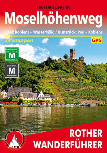
- Wandelgids Moselhöhenweg | Rother Bergverlag
- Duitstalige wandelgids met zeer goed beschreven wandelingen in de wandelgebieden. Redelijk kaartmateriaal, vooral de beschrijving van de route en de praktische info die er bij hoort is goed. 152 Seiten mit 86 Farbabbildungen 24 Höhenprofile, 25 Wanderkärtchen im Maßstab 1:75.000, eine Übersichtskarte im Maßstab 1:600.000 Wer einmal mit dem Zug... Read more

De Zwerver
Netherlands
2021
Netherlands
2021

De Zwerver
Netherlands
2023
Netherlands
2023

De Zwerver
Netherlands
2024
Netherlands
2024

De Zwerver
Netherlands
2021
Netherlands
2021
De Zwerver
Netherlands
2020
Netherlands
2020
- Wandelgids 5215 Wanderführer Premiumwanderweg Ahrsteig mit Rotweinwanderweg | Kompass
- Die Vorteile des Wanderführers auf einen Blick:- Von KOMPASS-Experten erwanderte Touren- Jede Tour mit Höhenprofil und Kartenausschnitt- Ausflugs- und Übernachtungstipps- Kostenloser Download der GPX-DatenDie Vorteile der Extra-Tourenkarte auf einen Blick:- Unterstützt die Tourenauswahl- Kartografische Gesamtübersicht- Touren können einfach... Read more

De Zwerver
Netherlands
2020
Netherlands
2020
- Wandelkaart - Wandelgids Moselsteig | IdeeMedia
- Complete gids + kaartenset om de Moselsteig te lopen langs de Moezel van Perl bij Schengen via Trier en Cochem naar Koblenz aan de Rijn. Totaal 365 km. Beschrijving van 24 wandeletappes met belangrijke informatie voor onderweg. Detailkaartjes en hoogteprofielen, overnachtingsadressen, bezienswaardigheden. Bij het boek horen 3 topografische... Read more
De Zwerver
Netherlands
2019
Netherlands
2019
Meer boeken…

Kaarten

De Zwerver
Netherlands
Netherlands
- Fietskaart 14 Eifel & Moesel | Alta Via
- Alta Via`s topographical cycling maps emphasize car-free cycling routes or the so-called Voies Vertes (Green Routes), a cycling network that runs through Belgium and Luxembourg. All LF and Ravel cycle routes are included, supplemented with old railways and towpaths that have been transformed into bike paths. The map also lists all youth... Read more
- Also available from:
- Stanfords, United Kingdom

Stanfords
United Kingdom
United Kingdom
- Eifel - Moselle Cycling Map 14
- Alta Via`s topographical cycling maps emphasize car-free cycling routes or the so-called Voies Vertes (Green Routes), a cycling network that runs through Belgium and Luxembourg. All LF and Ravel cycle routes are included, supplemented with old railways and towpaths that have been transformed into bike paths. The map also lists all youth... Read more

De Zwerver
Netherlands
Netherlands
- Wandelkaart 4 Stara Planina gebergte | Domino
- Stara Planina Western: Berkovita to Zlatitsa map at 1:50,000 from Bulgarian publishers Domino, contoured and GPS compatible, with hiking trails, accommodation options including a list of local mountain refuges, etc. The map is double-sided and covers the mountains from Varshets (directly north of Sofia) to just beyond Etrepole.Maps in the... Read more
- Also available from:
- Stanfords, United Kingdom

Stanfords
United Kingdom
United Kingdom
- Stara Planina Western: Berkovita to Zlatitsa Domino Map
- Stara Planina Western: Berkovita to Zlatitsa map at 1:50,000 from Bulgarian publishers Domino, contoured and GPS compatible, with hiking trails, accommodation options including a list of local mountain refuges, etc. The map is double-sided and covers the mountains from Varshets (directly north of Sofia) to just beyond Etrepole.Maps in the... Read more

De Zwerver
Netherlands
Netherlands

De Zwerver
Netherlands
Netherlands
- Wandelkaart 44104 Hohe Eifel, Ahreifel, Rheineifel Naturpark Rhein-Westerwald | GeoMap
- Goede detailkaart van dit gebied, met wandel en fietsroutes, met vereenvoudigde cartografie. Symbolen voor o.a. campings, horeca en bezienswaardigheden. Hohe Eifel, Ahreifel, Rheineifel Naturpark Rhein-Westerwald. Von Bad Godesberg im Norden bis Mayen im Süden, von Adenau im Westen bis Koblenz im Osten. Read more
De Zwerver
Netherlands
Netherlands
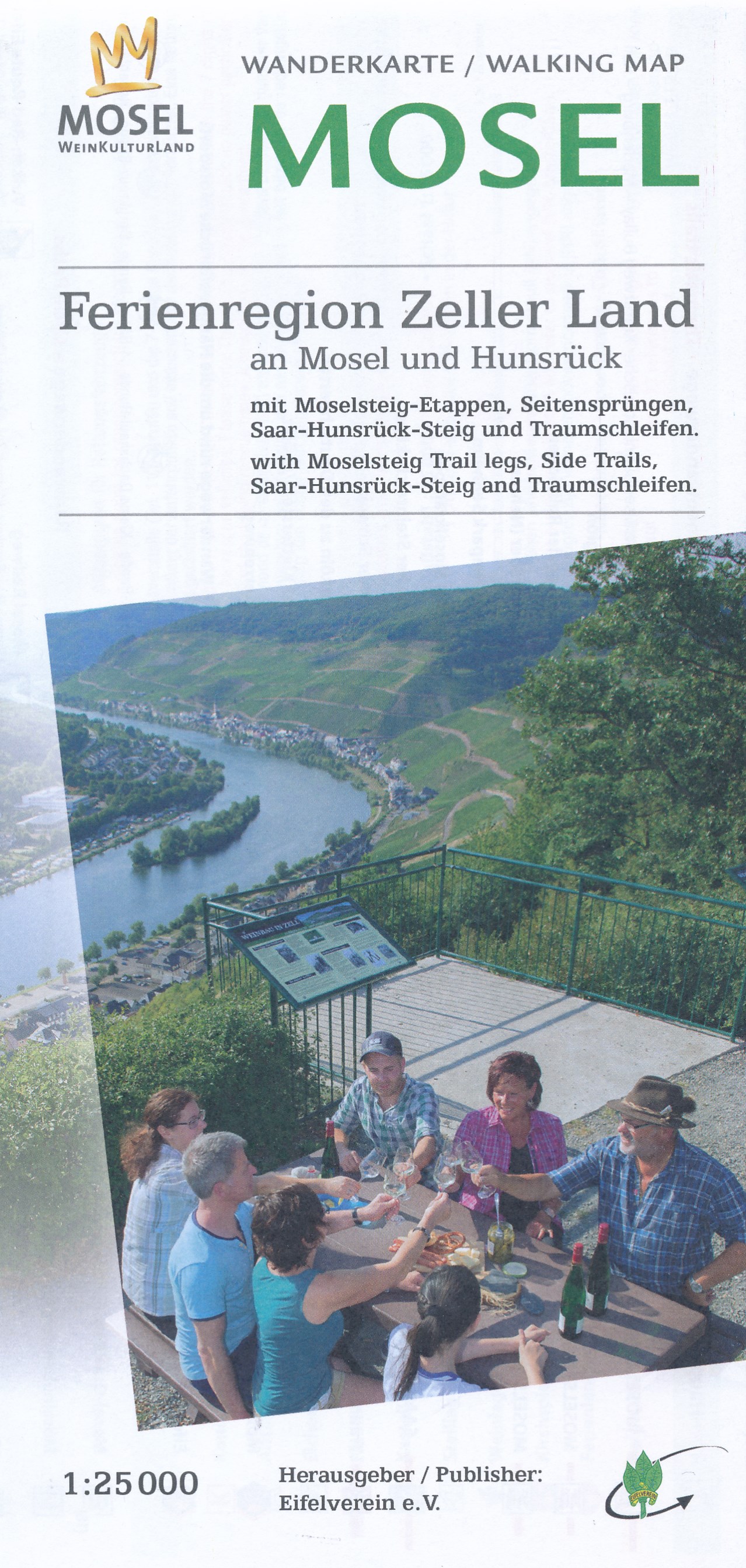
- Wandelkaart 36 Ferienregion Zeller Land - Mosel | Eifelverein
- Ediger-Eller, Bullay, Zell (Mosel), Traben-Trarbach, Bernkastel-Kues, Kröv; Bad Bertrich Wandelkaart van een deelgebied van de Eifel. Deze kaarten worden uitgegeven door de zeer actieve Eifelverein. Deze vereniging houdt zich onder andere bezig met de wandelroutes in het gebied: op bijna elke boom in de Eifel vind je wel een teken! De kaarten... Read more

De Zwerver
Netherlands
Netherlands
- Wandelkaart 05 Outdoorkarte FR Elsass - Colmar - Sélestat - Elzas | Kümmerly & Frey
- The central part of Alsace around Colmar and Sélestat on a GPS compatible, double-sided map at 1:50,000 from Kümmerly+Frey printed on sturdy, waterproof and tear-resistant synthetic paper; contoured, with hiking and cycling routes, sites for other recreational activities, various accommodation options, restaurants and ferme-auberge locations,... Read more
- Also available from:
- Stanfords, United Kingdom

Stanfords
United Kingdom
United Kingdom
- Alsace - Colmar - Sélestat - Freiburg im Breisgau - Lahr K+F Outdoor Map 5
- The central part of Alsace around Colmar and Sélestat on a GPS compatible, double-sided map at 1:50,000 from Kümmerly+Frey printed on sturdy, waterproof and tear-resistant synthetic paper; contoured, with hiking and cycling routes, sites for other recreational activities, various accommodation options, restaurants and ferme-auberge locations,... Read more
De Zwerver
Netherlands
2022
Netherlands
2022
De Zwerver
Netherlands
Netherlands
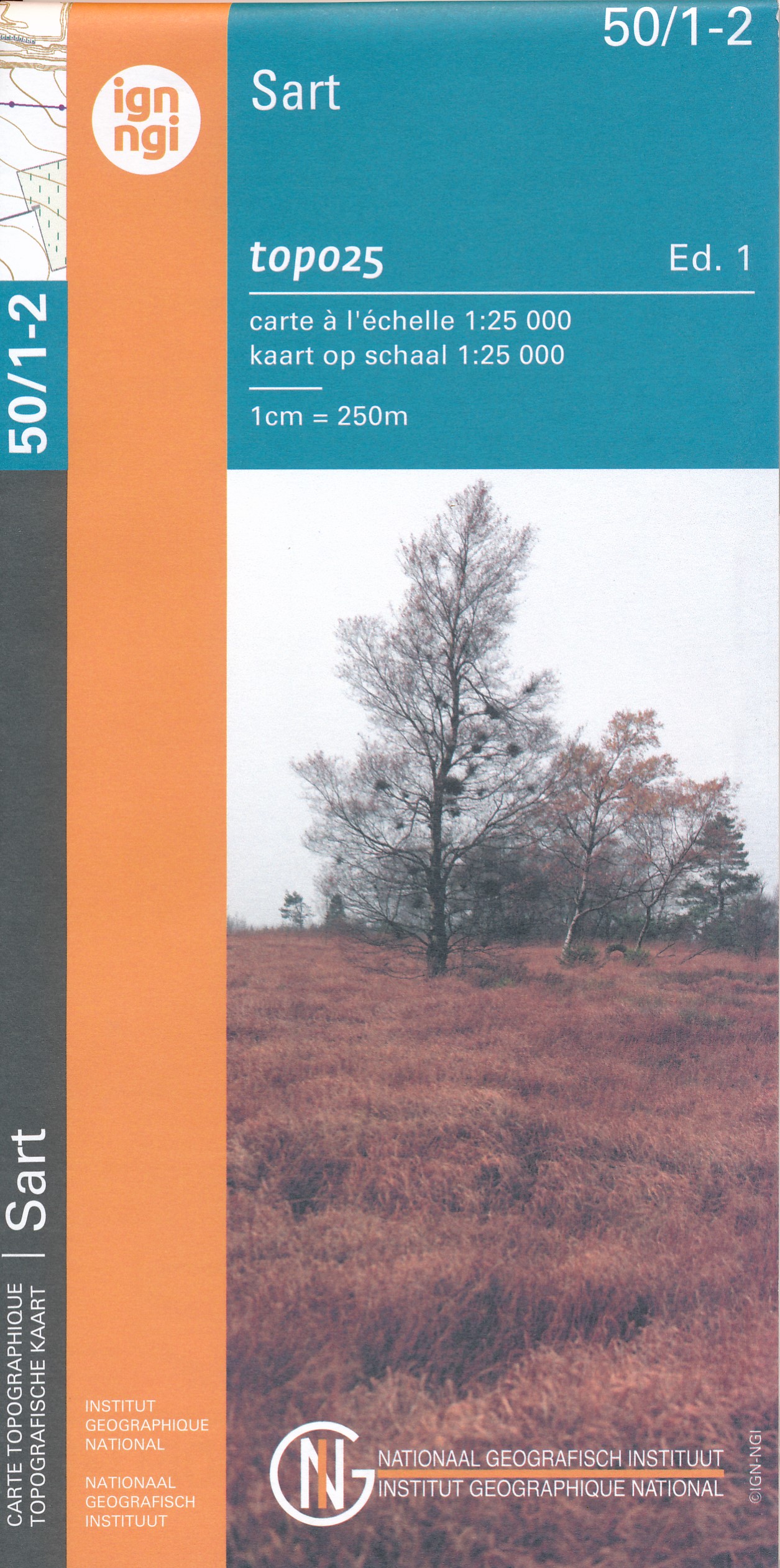
- Wandelkaart - Topografische kaart 50/1-2 Topo25 Sart | NGI - Nationaal Geografisch Instituut
- Topographical survey of Belgium at 1:20,000 from Nationaal Geografisch Instituut / Institut Géographique National, the country’s national survey organization. Each 20K map covers one quarter of the corresponding 1:50,000 map (with adjustments in the border and coastal areas). The maps provide all the information expected of topographic mapping... Read more
- Also available from:
- Stanfords, United Kingdom

Stanfords
United Kingdom
United Kingdom
- Sart NGI Topo 50/1-2
- Topographical survey of Belgium at 1:20,000 from Nationaal Geografisch Instituut / Institut Géographique National, the country’s national survey organization. Each 20K map covers one quarter of the corresponding 1:50,000 map (with adjustments in the border and coastal areas). The maps provide all the information expected of topographic mapping... Read more

Meer kaarten…