
Kerry
Beschrijving

The southeast of Ireland offers mountains, lakes, a rugged coastline, and is therefore the most popular tourist destination. It’s popular name is Kerry, but the beauty is shared by both county Kerry and country Cork. The region is like a hand with fingers spread, penetrating deep into the Atlantic: Dingle peninsula, Kerry peninsula, Beara Peninsula, Sheeps Head … Apart from a handful very good long distance trails - among them the Kerry Way and the Dingle Way - there are plenty good hillwalking and coast walking opportunities.
Paden in deze regio
Links
Feiten
Verslagen
Gidsen en kaarten
Overnachting
Organisaties
Reisorganisaties
GPS
Anders
Boeken
De Zwerver
Netherlands
2021
Netherlands
2021
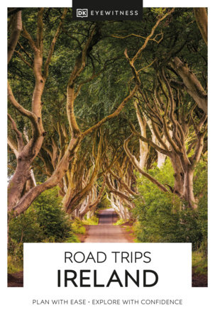
- Reisgids Road Trips Ireland - Ierland | Dorling Kindersley
- With its unspoiled coastline, dramatic ruins and picturesque villages, Ireland is the perfect destination for a leisurely road trip. It`s yours to explore with Road Trips Ireland, which contains 24 amazing drives across the country, from the majestic Ring of Kerry to the extraordinary Giant`s Causeway.Packed with insider tips and information,... Read more
- Also available from:
- Stanfords, United Kingdom

Stanfords
United Kingdom
2021
United Kingdom
2021
- DK Eyewitness Road Trips Ireland
- With its unspoiled coastline, dramatic ruins and picturesque villages, Ireland is the perfect destination for a leisurely road trip. It`s yours to explore with Road Trips Ireland, which contains 24 amazing drives across the country, from the majestic Ring of Kerry to the extraordinary Giant`s Causeway.Packed with insider tips and information,... Read more
De Zwerver
Netherlands
2020
Netherlands
2020
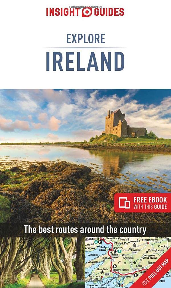
- Reisgids Explore Ireland - Ierland | Insight Guides
- Insight Guides Explore IrelandTravel made easy. Ask local experts. Focused travel guide featuring the very best routes and itineraries, now with free eBook.Discover the best of Ireland with this unique travel guide, packed full of insider information and stunning images. From making sure you don`t miss out on must-see, top attractions like... Read more
- Also available from:
- Stanfords, United Kingdom

Stanfords
United Kingdom
2020
United Kingdom
2020
- Insight Guides Explore Ireland (Travel Guide with Free eBook)
- Insight Guides Explore IrelandTravel made easy. Ask local experts. Focused travel guide featuring the very best routes and itineraries, now with free eBook.Discover the best of Ireland with this unique travel guide, packed full of insider information and stunning images. From making sure you don`t miss out on must-see, top attractions like... Read more
De Zwerver
Netherlands
2020
Netherlands
2020
- Also available from:
- Stanfords, United Kingdom

Stanfords
United Kingdom
United Kingdom
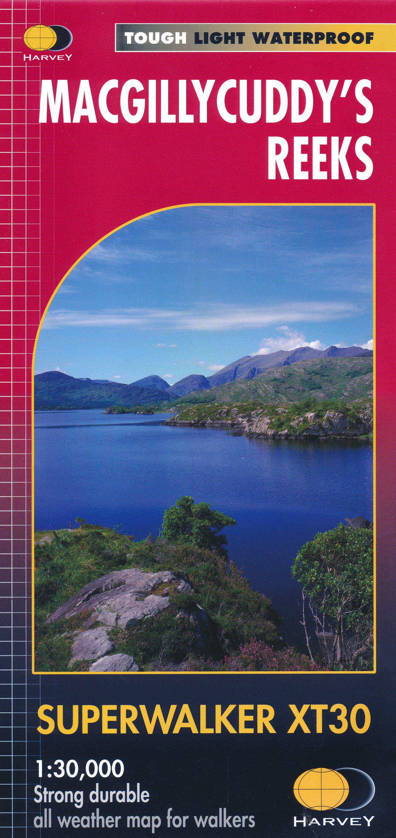
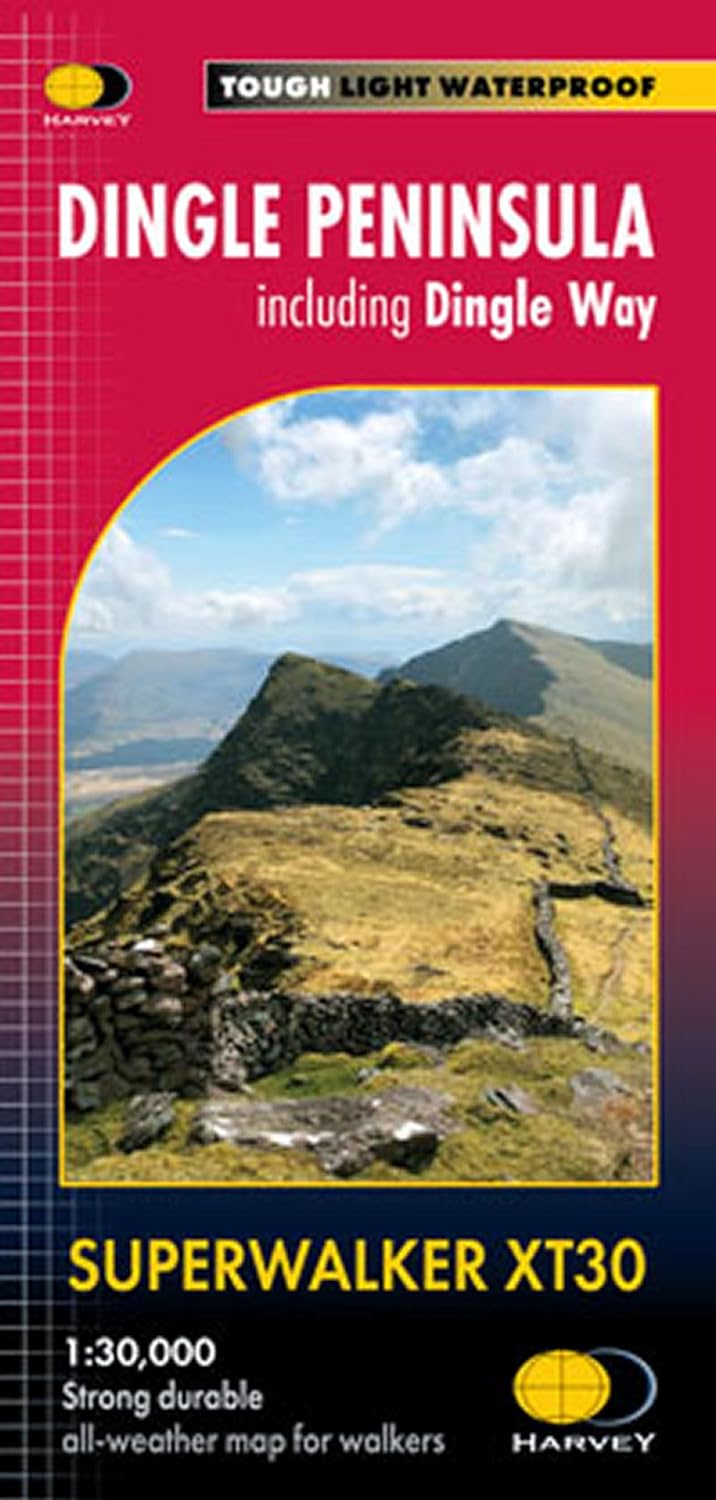
- MacGillycuddy`s Reeks Harvey Superwalker XT30
- Includes the whole of the Killarney National Park.Detailed map for hillwalkers of MacGillycuddy`s Reeks at 1:30,000 scale.Summit enlargement of Carrauntoohil at 1:15,000.Shows tracks, paths and cliffs in detail. As used by Mountain Rescue Ireland.PLEASE NOTE: this title is also available as a pocket-size Ultramap with its scale reduced to... Read more
Bol.com
Netherlands
Netherlands
- Real Irish Fairies of Donegal
- June 21, 2003--the Vernal Equinox--author J.A. Greenleaf and his Kerry Blue Terrier, Murphy, are alone in his cottage located at the very top of Ireland, at Malin Head. Near midnight, on a very dark night, he decides to go outdoors and walk Murphy. To his great surprise and amazement, there are about thirty winged creatures, about the size of... Read more
- Also available from:
- Bol.com, Belgium
Bol.com
Belgium
Belgium
- Real Irish Fairies of Donegal
- June 21, 2003--the Vernal Equinox--author J.A. Greenleaf and his Kerry Blue Terrier, Murphy, are alone in his cottage located at the very top of Ireland, at Malin Head. Near midnight, on a very dark night, he decides to go outdoors and walk Murphy. To his great surprise and amazement, there are about thirty winged creatures, about the size of... Read more
Bol.com
Netherlands
2009
Netherlands
2009
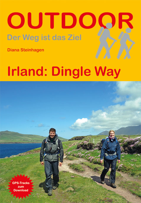
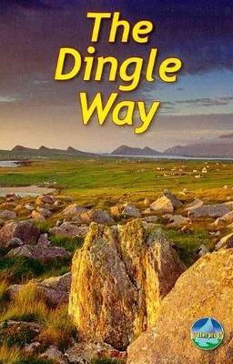
- The Dingle Way
- The Dingle Way runs 111 miles (179 km) around the beautiful Dingle Peninsula. It starts and finishes in Tralee, accessible by train or bus from Dublin and from Kerry Airport. The complete walk takes eight days, but it can easily be shortened. The Dingle Way follows country lanes, quiet roads and cliff-top paths, punctuated by long stretches of... Read more
- Also available from:
- Bol.com, Belgium
Bol.com
Belgium
2009
Belgium
2009
- The Dingle Way
- The Dingle Way runs 111 miles (179 km) around the beautiful Dingle Peninsula. It starts and finishes in Tralee, accessible by train or bus from Dublin and from Kerry Airport. The complete walk takes eight days, but it can easily be shortened. The Dingle Way follows country lanes, quiet roads and cliff-top paths, punctuated by long stretches of... Read more

Bol.com
Netherlands
Netherlands
- So You Think You're a Chicago Cubs Fan?
- So You Think You're a Chicago Cubs Fan? tests and expands your knowledge of Cubs baseball. Rather than merely posing questions and providing answers, you'll get details behind each-stories that bring to life players and coaches, games and seasons. This book is divided into multiple parts, with progressively more difficult questions in each new... Read more
- Also available from:
- Bol.com, Belgium
Bol.com
Belgium
Belgium
- So You Think You're a Chicago Cubs Fan?
- So You Think You're a Chicago Cubs Fan? tests and expands your knowledge of Cubs baseball. Rather than merely posing questions and providing answers, you'll get details behind each-stories that bring to life players and coaches, games and seasons. This book is divided into multiple parts, with progressively more difficult questions in each new... Read more
Bol.com
Netherlands
Netherlands
- Lonely Planet Discover Switzerland
- Lonely Planet: The world's leading travel guide publisher Lonely Planet Discover Switzerland is your passport to the most relevant, up-to-date advice on what to see and skip, and what hidden discoveries await you. Ski through fresh powder in the Swiss Alps, listen to cowbells while enjoying a picnic in a mountain meadow, or feast on fondue in... Read more
- Also available from:
- Bol.com, Belgium
Bol.com
Belgium
Belgium
- Lonely Planet Discover Switzerland
- Lonely Planet: The world's leading travel guide publisher Lonely Planet Discover Switzerland is your passport to the most relevant, up-to-date advice on what to see and skip, and what hidden discoveries await you. Ski through fresh powder in the Swiss Alps, listen to cowbells while enjoying a picnic in a mountain meadow, or feast on fondue in... Read more
Bol.com
Netherlands
2011
Netherlands
2011
- Walking in Ireland
- Walking has never been a more popular pastime and nowhere is more beautiful for walkers to explore than Ireland. In this beautifully written and superbly researched guide, Christopher Somerville draws on his very popular column for the Irish Independent, to present 50 of the very best walks in Ireland - from the Nephin Beg Mountains in Mayo to... Read more
- Also available from:
- Bol.com, Belgium
Bol.com
Belgium
2011
Belgium
2011
- Walking in Ireland
- Walking has never been a more popular pastime and nowhere is more beautiful for walkers to explore than Ireland. In this beautifully written and superbly researched guide, Christopher Somerville draws on his very popular column for the Irish Independent, to present 50 of the very best walks in Ireland - from the Nephin Beg Mountains in Mayo to... Read more
Bol.com
Netherlands
Netherlands
- A Ghost Upon Your Path
- We all have a need to belong, to have a place and people we feel tied to: our family, our house, our hometown, our nation. Ever since he first visited Ireland with his family twenty years ago, John McCarthy has felt a strong affinity with its people and landscape. Yet in spite of his Irish name, he never thought of himself as remotely Irish.... Read more
- Also available from:
- Bol.com, Belgium
Bol.com
Belgium
Belgium
- A Ghost Upon Your Path
- We all have a need to belong, to have a place and people we feel tied to: our family, our house, our hometown, our nation. Ever since he first visited Ireland with his family twenty years ago, John McCarthy has felt a strong affinity with its people and landscape. Yet in spite of his Irish name, he never thought of himself as remotely Irish.... Read more
Bol.com
Netherlands
2016
Netherlands
2016
- Lonely Planet Munich, Bavaria & the Black Forest
- Lonely Planet: The world's leading travel guide publisherLonely Planet Munich, Bavaria & the Black Forest is your passport to the most relevant, up-to-date advice on what to see and skip, and what hidden discoveries await you. Join in the festivities at Munich's Oktoberfest, step into the Schloss Neuschwanstein fairytale castle, or hike among... Read more
- Also available from:
- Bol.com, Belgium
Bol.com
Belgium
2016
Belgium
2016
- Lonely Planet Munich, Bavaria & the Black Forest
- Lonely Planet: The world's leading travel guide publisherLonely Planet Munich, Bavaria & the Black Forest is your passport to the most relevant, up-to-date advice on what to see and skip, and what hidden discoveries await you. Join in the festivities at Munich's Oktoberfest, step into the Schloss Neuschwanstein fairytale castle, or hike among... Read more
Bol.com
Netherlands
Netherlands
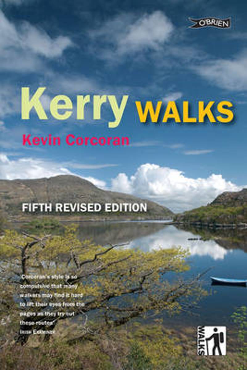
- Kerry Walks
- The perfect walking guide to the wilderness and beauty of Kerry. Discover the landscape and wildlife of Ireland's most beautiful county with walking enthusiast and expert naturalist Kevin Corcoran. These twenty walks explore heathland and bog, Ireland's highest mountains, coastal peninsulas, beaches, islands, forests, rivers, lakes. 20 walks,... Read more
- Also available from:
- Bol.com, Belgium
- Stanfords, United Kingdom
- The Book Depository, United Kingdom
Bol.com
Belgium
Belgium
- Kerry Walks
- The perfect walking guide to the wilderness and beauty of Kerry. Discover the landscape and wildlife of Ireland's most beautiful county with walking enthusiast and expert naturalist Kevin Corcoran. These twenty walks explore heathland and bog, Ireland's highest mountains, coastal peninsulas, beaches, islands, forests, rivers, lakes. 20 walks,... Read more

Stanfords
United Kingdom
United Kingdom
- Kerry Walks
- The perfect walking guide to the wilderness and beauty of Kerry. Discover the landscape and wildlife of Ireland`s most beautiful county with walking enthusiast and expert naturalist Kevin Corcoran. These twenty walks explore heathland and bog, Ireland`s highest mountains, coastal peninsulas, beaches, islands, forests, rivers, lakes. *20 walks,... Read more

Bol.com
Netherlands
2002
Netherlands
2002
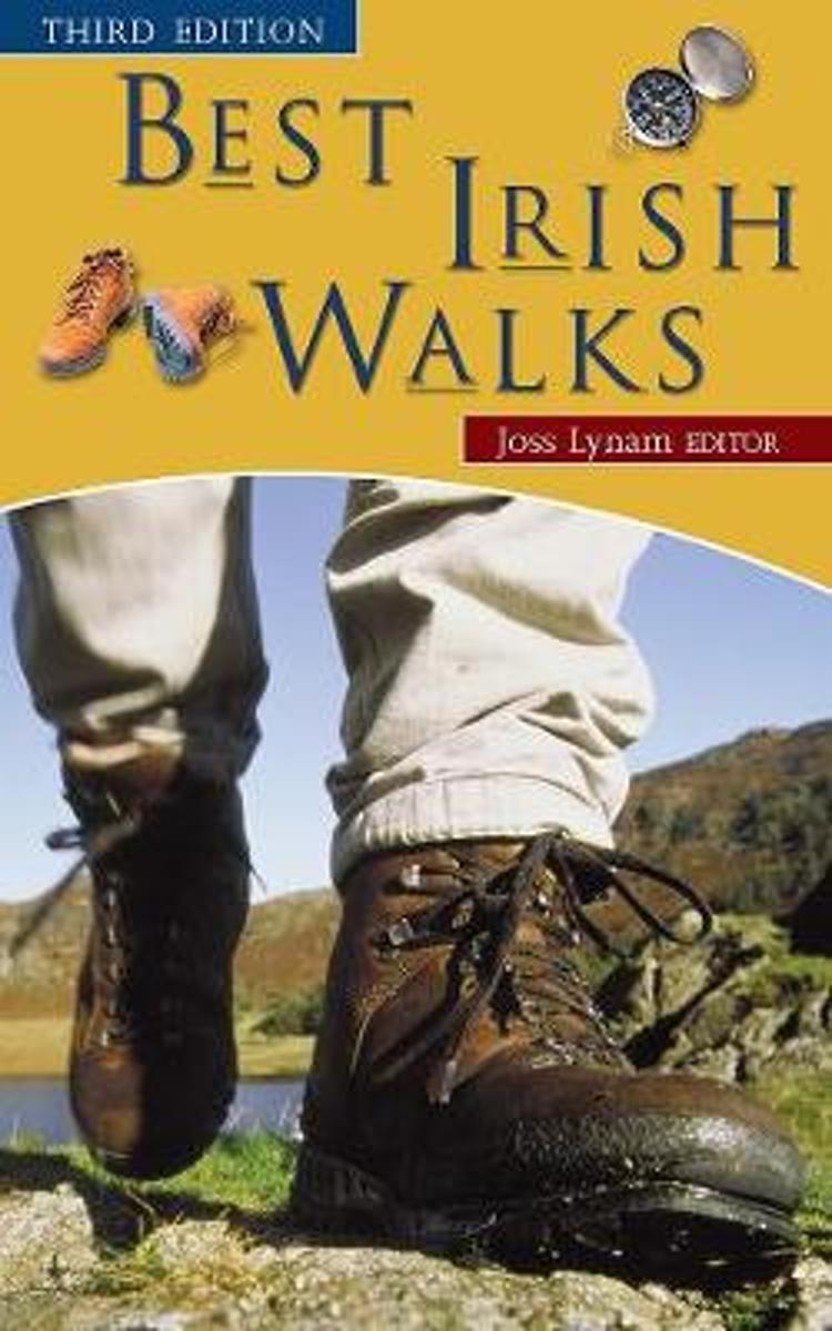
- Best Irish Walks
- Best Irish Walks' has been for many years the leading single-volume guide to hill walking in Ireland. It describes over 75 different routes ranging from formidable climbs in the Kerry mountains to delightful treks along the river valleys. This new edition of 'Best Irish Walks' has been thoroughly revised and updated, with new computer-generated... Read more
- Also available from:
- Bol.com, Belgium
- Stanfords, United Kingdom
- The Book Depository, United Kingdom
Bol.com
Belgium
2002
Belgium
2002
- Best Irish Walks
- Best Irish Walks' has been for many years the leading single-volume guide to hill walking in Ireland. It describes over 75 different routes ranging from formidable climbs in the Kerry mountains to delightful treks along the river valleys. This new edition of 'Best Irish Walks' has been thoroughly revised and updated, with new computer-generated... Read more

Stanfords
United Kingdom
2002
United Kingdom
2002
- Best Irish Walks
- Best Irish Walks` has been for many years the leading single-volume guide to hill walking in Ireland. It describes over 75 different routes ranging from formidable climbs in the Kerry mountains to delightful treks along the river valleys. This new edition of `Best Irish Walks` has been thoroughly revised and updated, with new computer-generated... Read more

The Book Depository
United Kingdom
2002
United Kingdom
2002
- Best Irish Walks
- Maar liefst 75 dagwandelingen door heel Ierland verspreid. Goede beschrijvingen met schetsmatige kaarten. Een handig boek als je door Ierland trekt en een idee voor een wandeling altijd bij de hand wilt hebben. ´Best Irish Walks´ has been for many years the leading single-volume guide to hill walking in Ireland. It describes over 75 different... Read more
Kaarten

De Zwerver
Netherlands
Netherlands
- Wandelkaart 4 Stara Planina gebergte | Domino
- Stara Planina Western: Berkovita to Zlatitsa map at 1:50,000 from Bulgarian publishers Domino, contoured and GPS compatible, with hiking trails, accommodation options including a list of local mountain refuges, etc. The map is double-sided and covers the mountains from Varshets (directly north of Sofia) to just beyond Etrepole.Maps in the... Read more
- Also available from:
- Stanfords, United Kingdom

Stanfords
United Kingdom
United Kingdom
- Stara Planina Western: Berkovita to Zlatitsa Domino Map
- Stara Planina Western: Berkovita to Zlatitsa map at 1:50,000 from Bulgarian publishers Domino, contoured and GPS compatible, with hiking trails, accommodation options including a list of local mountain refuges, etc. The map is double-sided and covers the mountains from Varshets (directly north of Sofia) to just beyond Etrepole.Maps in the... Read more

De Zwerver
Netherlands
Netherlands
- Wandelkaart Strandzha - Bulgarije | Domino
- Strandzha Mountains in the south-eastern corner of Bulgaria between Burgas to the Turkish border on a contoured and GPS compatible map from Domino showing local hiking trails and highlighting various interesting sites, with three more detailed enlargements at 1:25,000. Most place names are in both Latin and Cyrillic alphabet; map legend... Read more
- Also available from:
- Stanfords, United Kingdom

Stanfords
United Kingdom
United Kingdom
- Strandzha Mountains: Burgas to the Turkish Border Domino Map
- Strandzha Mountains in the south-eastern corner of Bulgaria between Burgas to the Turkish border on a contoured and GPS compatible map from Domino showing local hiking trails and highlighting various interesting sites, with three more detailed enlargements at 1:25,000. Most place names are in both Latin and Cyrillic alphabet; map legend... Read more
De Zwerver
Netherlands
Netherlands
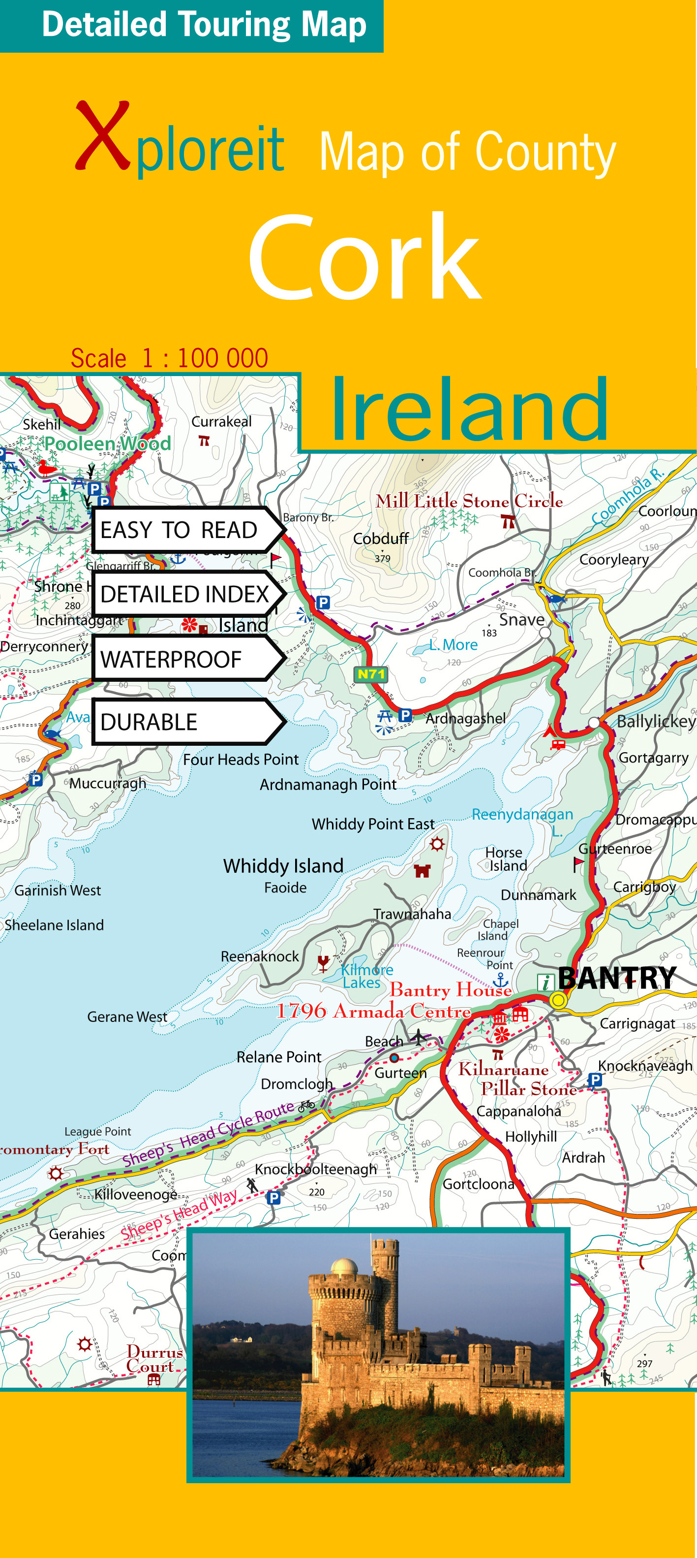
- Wegenkaart - landkaart - Fietskaart Cork (Ierland) | Xploreit Maps
- County Cork at 1:100,000 in a series of double-sided, GPS-compatible maps from Xploreit Maps, with contours, altitude colouring, hiking trails and cycling routes, and printed on light, waterproof and tear-resistant plastic paper.Topography is shown by altitude colouring with contours (interval varies) and plenty of names of geographical... Read more
- Also available from:
- Stanfords, United Kingdom

Stanfords
United Kingdom
United Kingdom
- Cork County
- County Cork at 1:100,000 in a series of double-sided, GPS-compatible maps from Xploreit Maps, with contours, altitude colouring, hiking trails and cycling routes, and printed on light, waterproof and tear-resistant plastic paper.Topography is shown by altitude colouring with contours (interval varies) and plenty of names of geographical... Read more
De Zwerver
Netherlands
Netherlands
De Zwerver
Netherlands
Netherlands
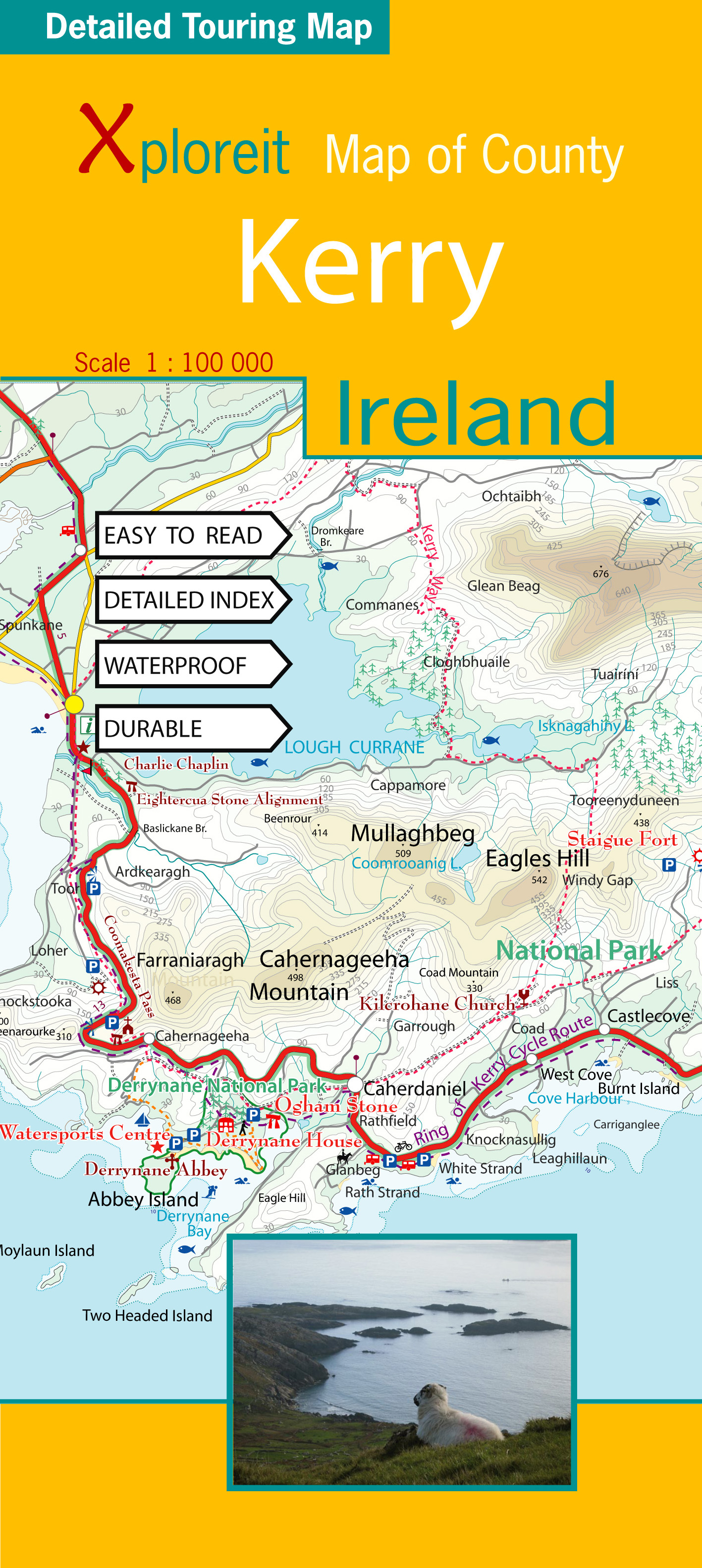
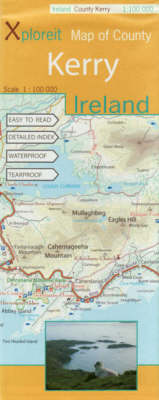
- Wegenkaart - landkaart - Fietskaart Kerry (Ierland) | Xploreit Maps
- County Kerry at 1:100,000 in a series of double-sided, GPS-compatible maps from Xploreit Maps, with contours, altitude colouring, hiking trails and cycling routes, and printed on light, waterproof and tear-resistant plastic paper.Topography is shown by altitude colouring with contours (interval varies) and plenty of names of geographical... Read more
- Also available from:
- Stanfords, United Kingdom
Stanfords
United Kingdom
United Kingdom
- Kerry County
- County Kerry at 1:100,000 in a series of double-sided, GPS-compatible maps from Xploreit Maps, with contours, altitude colouring, hiking trails and cycling routes, and printed on light, waterproof and tear-resistant plastic paper.Topography is shown by altitude colouring with contours (interval varies) and plenty of names of geographical... Read more

De Zwerver
Netherlands
Netherlands
- Wandelkaart 5 Rila gebergte | Domino
- Rila Mountains at 1:50,000 on a large, double-sided, contoured map with GPS waypoints for shelters and chalets, peaks, etc. and highlighting hiking routes. Topography is shown by contours at 50m intervals with additional relief shading and graphics and colouring for scree, single rocks over 5m high, marshlands and pine scrub and forests. An... Read more
- Also available from:
- Stanfords, United Kingdom

Stanfords
United Kingdom
United Kingdom
- Rila Mountains Domino
- Rila Mountains at 1:50,000 on a large, double-sided, contoured map with GPS waypoints for shelters and chalets, peaks, etc. and highlighting hiking routes. Topography is shown by contours at 50m intervals with additional relief shading and graphics and colouring for scree, single rocks over 5m high, marshlands and pine scrub and forests. An... Read more

De Zwerver
Netherlands
Netherlands
- Wandelkaart Sredna Gora - Bulgarije | Domino
- Pirin Mountains at 1:50,000 on a large, double-sided, contoured map with GPS waypoints for shelters and chalets, peaks, etc. and highlighting hiking routes. Topography is shown by contours at 40m intervals with additional relief shading and graphics and colouring for sandstone stacks, single rocks over 5m high, marshlands and different types of... Read more
De Zwerver
Netherlands
Netherlands
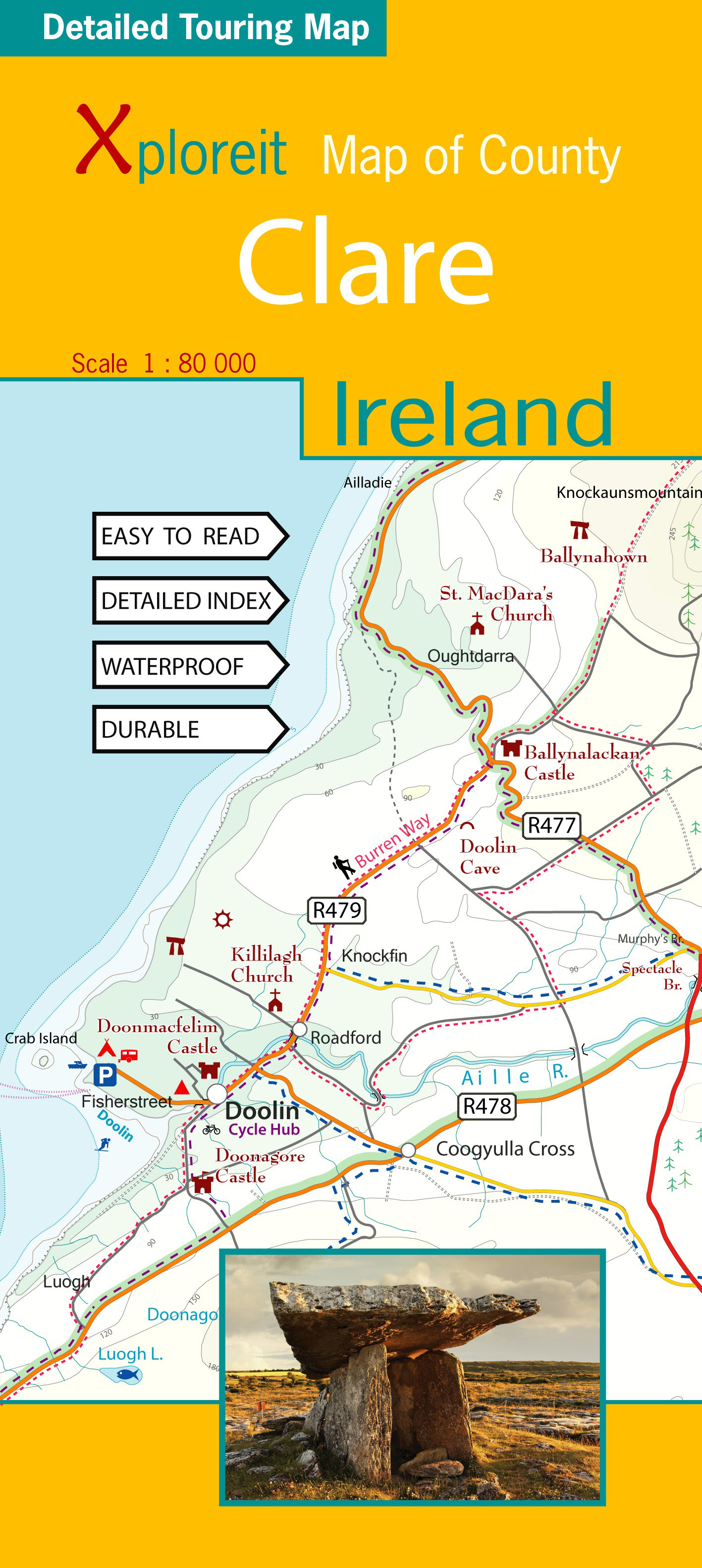
- Wegenkaart - landkaart - Fietskaart Clare (Ierland) | Xploreit Maps
- Xploreit Map of County Clare, Ireland ab 14.99 EURO 2 Rev ed Read more