
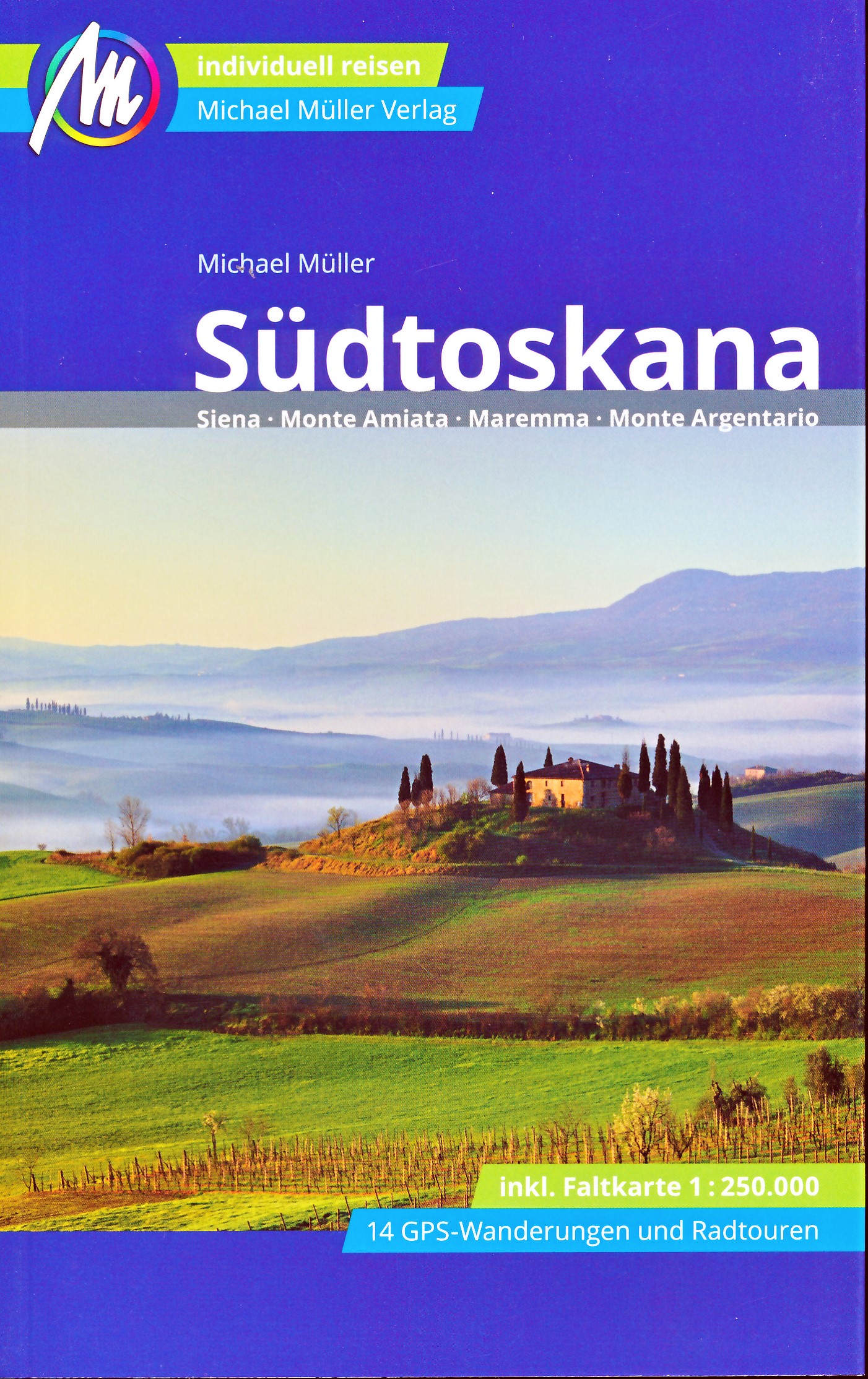
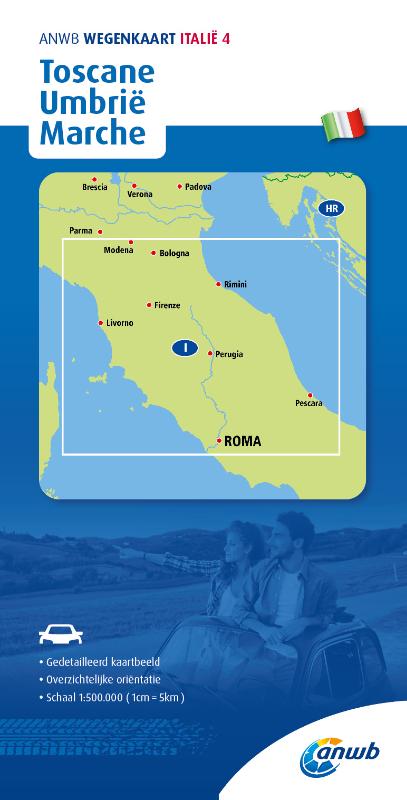
Toscana
Beschrijving
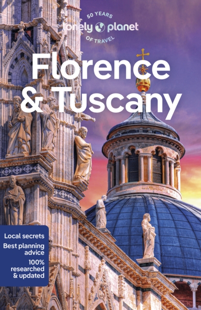
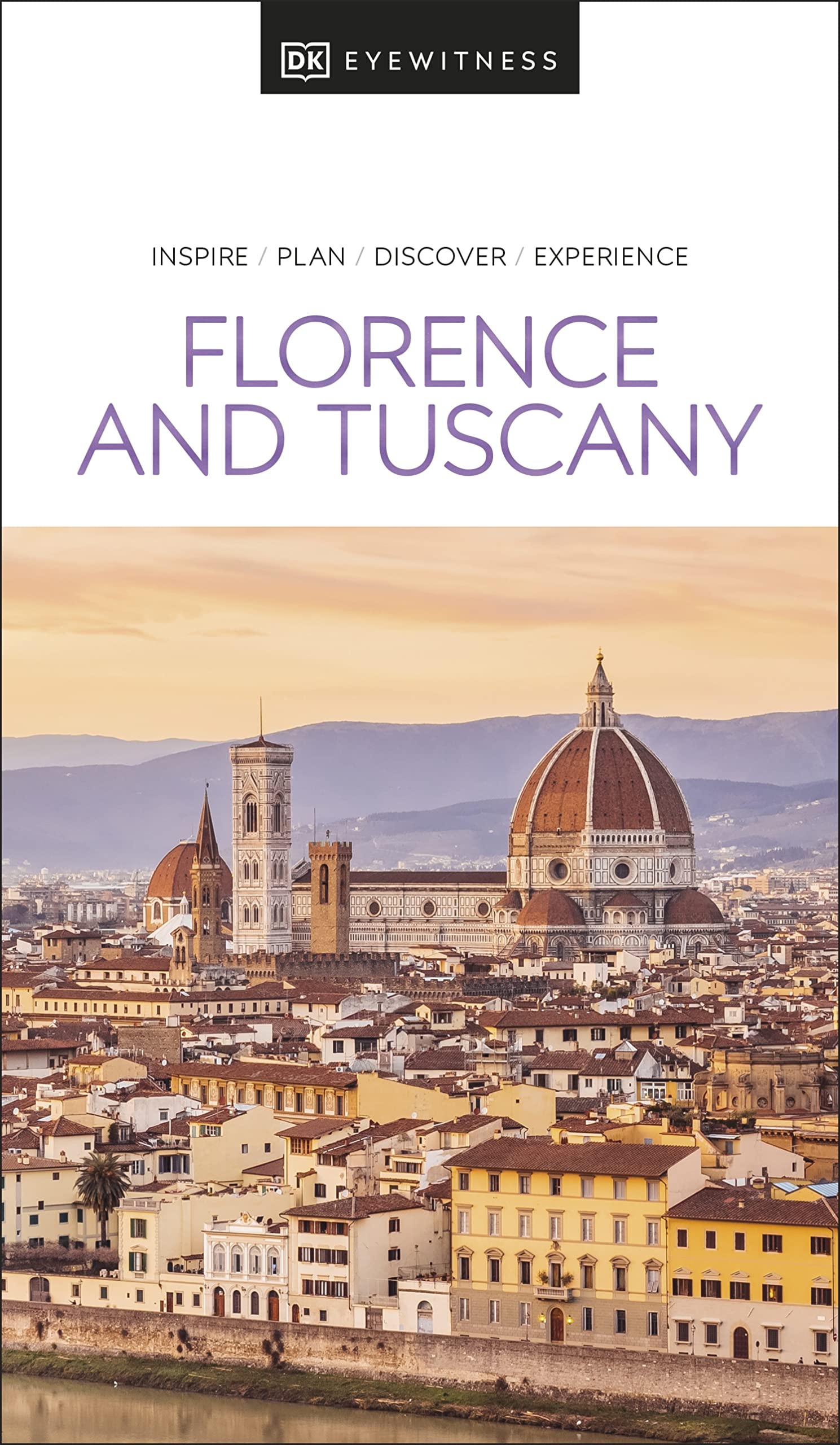
Famous and picturesque region between Florence (Firenze) and Sienna.
Paden in deze regio
Links
Feiten
Verslagen
Gidsen en kaarten
Overnachting
Organisaties
Reisorganisaties
GPS
Anders
Boeken

De Zwerver
Netherlands
2023
Netherlands
2023
- Wandelgids 313 Toskana (Toscane) Süd | Rother Bergverlag
- Uitstekende wandelgids met een groot aantal dagtochten in dal en hooggebergte. Met praktische informatie en beperkt kaartmateriaal! Wandelingen in verschillende zwaarte weergegeven in rood/blauw/zwart Die Toskana ist einzigartig! Angesichts der geballten Konzentration von Historie, Kunst und Kultur kann kaum ein anderer Flecken in Europa... Read more
De Zwerver
Netherlands
2023
Netherlands
2023
- Wandelgids - Pelgrimsroute Via Francigena - Lausanne naar Rome | Rother Bergverlag
- Von Lausanne nach Rom. 52 Etappen. Mit GPS-Daten Rother Wanderführer. 1., Auflage. Read more
De Zwerver
Netherlands
2021
Netherlands
2021
- Reisgids Italy: Umbria and the Marches | Bradt Travel Guides
- Bradt`s Umbria & the Marche is the most detailed guide to combine these two small central Italian regions, which offer all the beauty, history and culture of neighbouring Tuscany only without the crowds, the traffic or eye-popping prices. Dana Facaros and Michael Pauls (authors of the original Cadogan guide to the area) lived in Umbria in the... Read more
- Also available from:
- Stanfords, United Kingdom

Stanfords
United Kingdom
2021
United Kingdom
2021
- Italy: Umbria & The Marches
- Bradt`s Umbria & the Marche is the most detailed guide to combine these two small central Italian regions, which offer all the beauty, history and culture of neighbouring Tuscany only without the crowds, the traffic or eye-popping prices. Dana Facaros and Michael Pauls (authors of the original Cadogan guide to the area) lived in Umbria in the... Read more
De Zwerver
Netherlands
2023
Netherlands
2023
De Zwerver
Netherlands
2022
Netherlands
2022
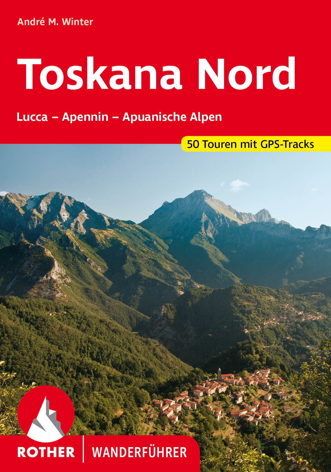
- Wandelgids 312 Toskana Nord (Toscane) | Rother Bergverlag
- Uitstekende wandelgids met een groot aantal dagtochten in dal en hooggebergte. Met praktische informatie en beperkt kaartmateriaal! Wandelingen in verschillende zwaarte weergegeven in rood/blauw/zwart. Non solo vino! Nicht nur für Weinkenner, auch für Wanderer und Bergsteiger bietet Italiens klassische Kunst- und Kulturlandschaft viele... Read more
De Zwerver
Netherlands
2015
Netherlands
2015
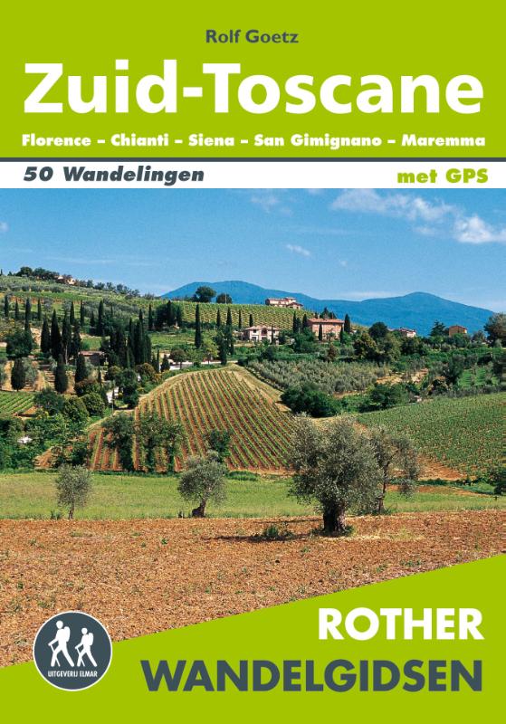
- Wandelgids Zuid-Toscane | Uitgeverij Elmar
- Florence - Chianti - Siena - San Gimignano - Maremma Deze wandelgids is een vertaling van de oorspronkelijke duitse versie. Het zijn klassiekers onder de wandelgidsen. Uitstekende wandelgids met een groot aantal dagtochten in dal en hooggebergte. Met praktische informatie en beperkt kaartmateriaal! Wandelingen in verschillende zwaarte... Read more
De Zwerver
Netherlands
2016
Netherlands
2016
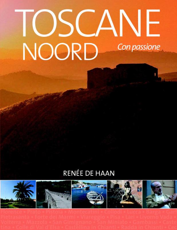
- Reisgids Toscane Noord | Edicola
- Toscane is de meest beschreven provincie van Italië dus lijkt elk nieuw boek hierover overbodig. Wij gaan bewijzen dat er juist heel veel niet bekend is. Vooral over de mensen die er wonen en hun bezieling. Toscane Noord gaat uit van Florence als bolwerk dat historisch gezien macht uitoefende over vele steden. Prato, Pistoia, Pisa en Lucca... Read more

De Zwerver
Netherlands
2022
Netherlands
2022
De Zwerver
Netherlands
2023
Netherlands
2023
Kaarten
De Zwerver
Netherlands
Netherlands
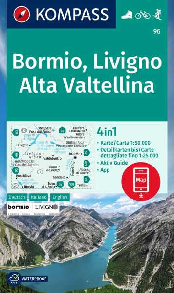
- Wandelkaart 96 Bormio - Livigno - Alta Valtellina | Kompass
- Map No. 96, Bormio - Livigno - Corna di Campo, from Kompass printed on sturdy, waterproof and tear-resistant synthetic paper in a series of walking maps of selected areas of Italy at 1:50,000, with hiking routes on a topographic base, various types of accommodation, recreational facilities, places of interest, etc. Kompass are Europe’s largest... Read more
- Also available from:
- Stanfords, United Kingdom

Stanfords
United Kingdom
United Kingdom
- Bormio - Livigno - Alta Valtellina Kompass 96
- Map No. 96, Bormio - Livigno - Corna di Campo, from Kompass printed on sturdy, waterproof and tear-resistant synthetic paper in a series of walking maps of selected areas of Italy at 1:50,000, with hiking routes on a topographic base, various types of accommodation, recreational facilities, places of interest, etc. Kompass are Europe’s largest... Read more
De Zwerver
Netherlands
Netherlands
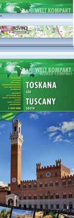
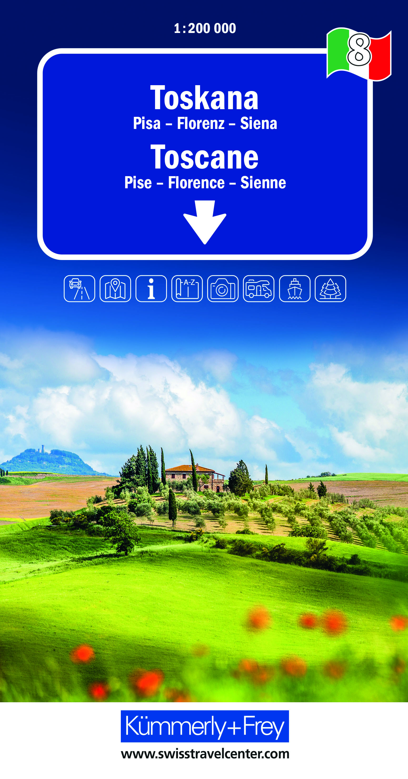
- Wegenkaart - landkaart Toscane Zuid - Toskana sud | Freytag & Berndt
- FuB Toskana Süd 1 : 200 000 World Compact Series ab 10.9 EURO 1:200. 000 freytag & berndt Auto + Freizeitkarten. Neuauflage, Laufzeit bis 2015. Read more
De Zwerver
Netherlands
2018
Netherlands
2018
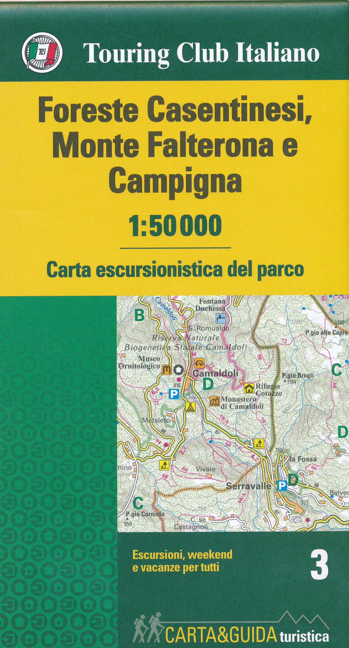
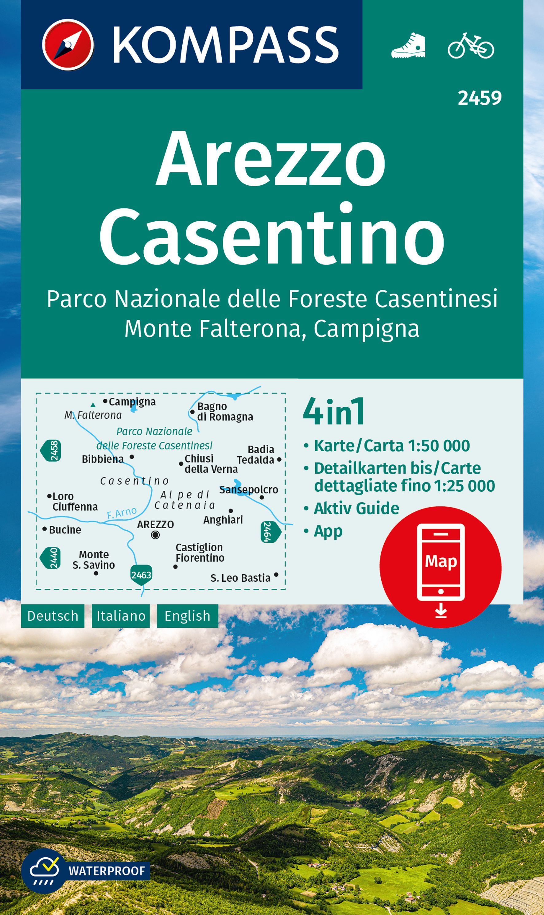
- Wandelkaart 3 Carta-guida Foreste Casentinesi, Monte Falterona e Campigna | Touring Club Italiano
- Een nieuwe serie van een aantal belangrijke natuurgebieden en nationale parken in Italie. Routes voor iedereen: gezinnen, jongeren, wandelaars, sporters, natuurliefhebbers en kampeerders. Elke titel bestaat uit een wandelkaart op een schaal van 1:50 000 en een parkgids. De kaart bevat: - weg-, autosnelweg-, spoor- en navigatie-lijnen, handig om... Read more
De Zwerver
Netherlands
Netherlands
De Zwerver
Netherlands
Netherlands
- Wegenkaart - landkaart Toscane Noord - Toskana nord | Freytag & Berndt
- FuB Toskana Nord 1 : 200 000 World Compact Series ab 10.9 EURO 1:200. 000 freytag & berndt Auto + Freizeitkarten. Neuauflage, Laufzeit bis 2015. Read more
De Zwerver
Netherlands
2018
Netherlands
2018
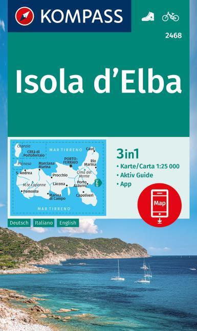
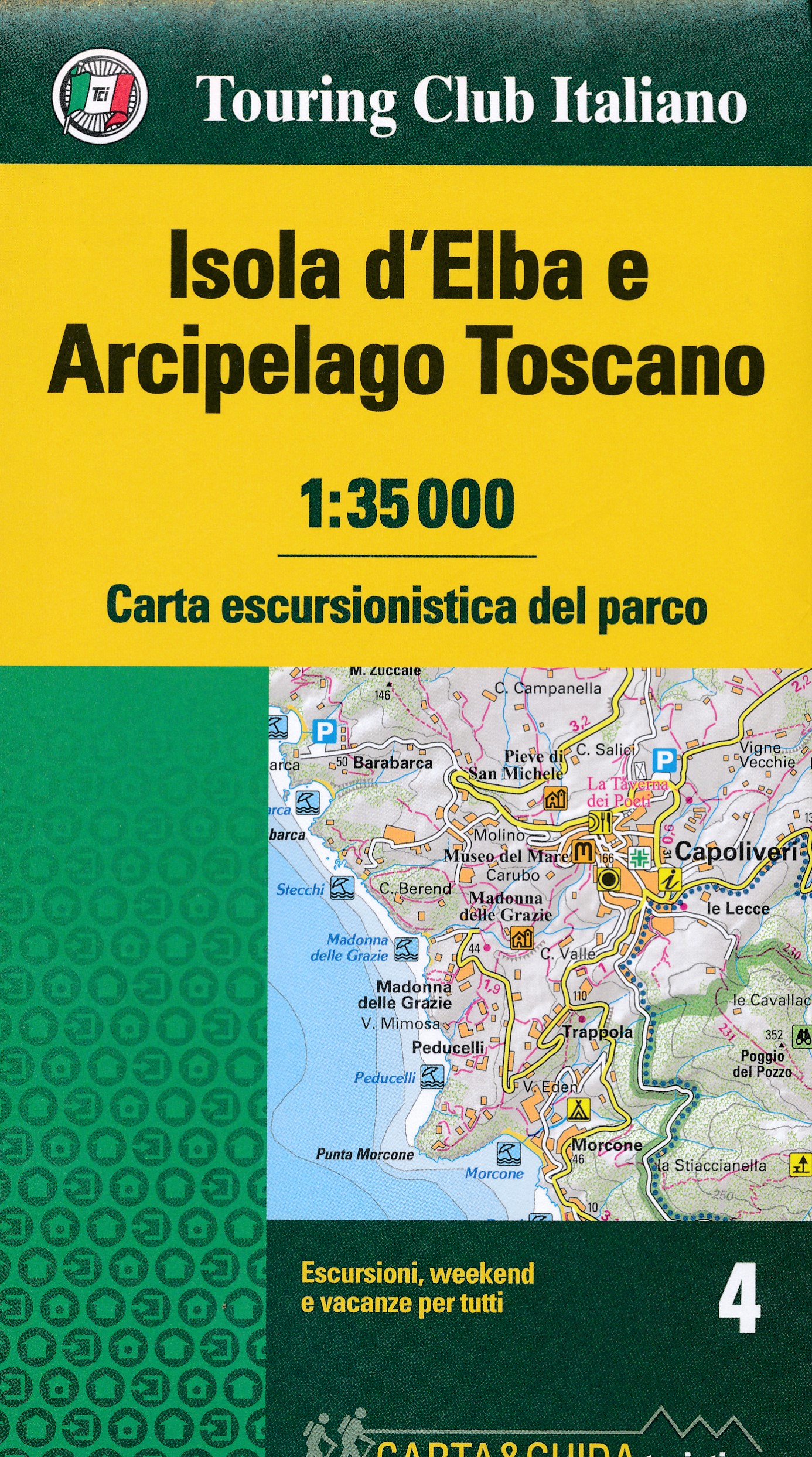
- Wandelkaart 4 Carta-guida Isola d'Elba - Archipelago Toscano | Touring Club Italiano
- Een nieuwe serie van een aantal belangrijke natuurgebieden en nationale parken in Italie. Routes voor iedereen: gezinnen, jongeren, wandelaars, sporters, natuurliefhebbers en kampeerders. Elke titel bestaat uit een wandelkaart op een schaal van 1:35 000 en een parkgids. De kaart bevat: - weg-, autosnelweg-, spoor- en navigatie-lijnen, handig om... Read more
De Zwerver
Netherlands
2022
Netherlands
2022
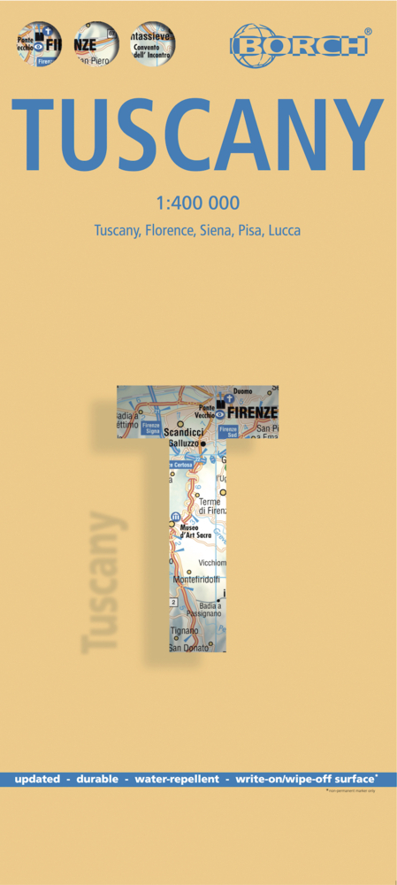
- Wegenkaart - landkaart Toscane | Borch
- Toskana / Toscana 1 : 400 000. Road Map + City Maps ab 9.9 EURO Toscana, Firenze, Siena, Pisa, Lucca Borch Map. 11. Auflage Read more
De Zwerver
Netherlands
Netherlands
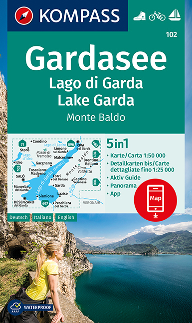
- Wandelkaart 102 Gardasee - Lago di Garda - Lake Garda | Kompass
- Lake Garda and the surrounding mountain on a waterproof and tear-resistant, contoured and GPS compatible map at 1:50,000 from Kompass with hiking and cycling trails, plus on the reverse a panorama map of the area, street plans of central Verona, Riva del Garda and Peschiera, and extensive English language to the area. Contours are at 40m... Read more
- Also available from:
- Stanfords, United Kingdom

Stanfords
United Kingdom
United Kingdom
- Lake Garda - Monte Baldo Kompass 102
- Lake Garda and the surrounding mountain on a waterproof and tear-resistant, contoured and GPS compatible map at 1:50,000 from Kompass with hiking and cycling trails, plus on the reverse a panorama map of the area, street plans of central Verona, Riva del Garda and Peschiera, and extensive English language to the area. Contours are at 40m... Read more

De Zwerver
Netherlands
Netherlands
- Wandelkaart 2458 Firenze - Siena - Chianti | Kompass
- Florence - Siena - Chianti area on a double-sided map at 1:50,000 from Kompass, printed on durable, waterproof and tear-resistant synthetic paper. Coverage includes Val di Pesa, Val d’Elsa, Monteriggioni, etc. Contours are at 40m intervals, with a 2-km UTM grid. Extensive overprint includes GEA - Grande Escursione Appenninica, Sentiero Italia,... Read more
- Also available from:
- Stanfords, United Kingdom
Stanfords
United Kingdom
United Kingdom
- Florence - Siena - Chianti Kompass 2458
- Florence - Siena - Chianti area on a double-sided map at 1:50,000 from Kompass, printed on durable, waterproof and tear-resistant synthetic paper. Coverage includes Val di Pesa, Val d’Elsa, Monteriggioni, etc. Contours are at 40m intervals, with a 2-km UTM grid. Extensive overprint includes GEA - Grande Escursione Appenninica, Sentiero Italia,... Read more
- Also available from:
- Stanfords, United Kingdom
Stanfords
United Kingdom
2021
United Kingdom
2021
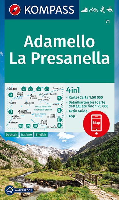
- Adamello - La Presanella Kompass 71
- Adamello - La Presanella area just north of Lake Garda on a GPS compatible hiking and recreational map at 1:50,000 from Kompass, printed on durable, waterproof and tear-resistant synthetic paper. KOMPASS HIKING MAPS OF ITALY: this title is part of an extensive series of walking maps from Kompass covering selected areas of Italy at mainly... Read more