Hanzestedenpad
Beschrijving
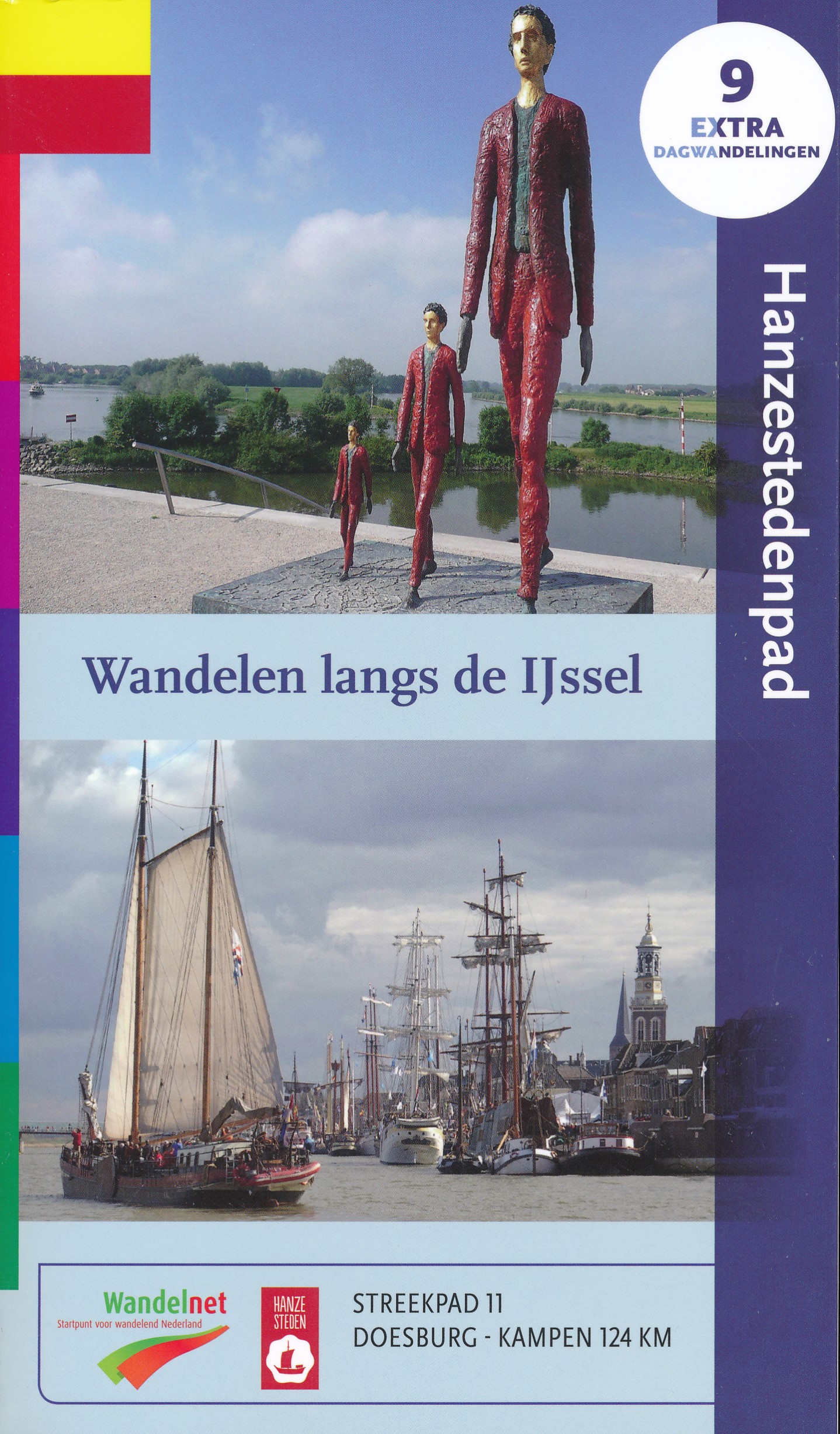
- Name Hanzestedenpad (SP11)
- Lengte van pad 164 km, 102 mijl
- Lengte in dagen 8 dagen
- Start van pad Doesburg
- Einde van pad Kampen
- Traildino graad LW, Lichte wandeling, landelijke wandeling


SP11, Hanzestedenpad: Through the IJssel Valley, 164 km
This regional trail is created by the Stichting Wandelnet and marked yellow-red.
The IJssel is a river that owes its existence to the Romans. Two thousand years ago, they diverted the course of the Rhine into an old riverbed, and this ensured a constant supply of water. River IJssel grew big.
In medieval times the river had an important trading function. Several settlements along its course - cities like Doesburg Doetinchem, Zutphen, Hattem, Zwolle and Kampen - joined the Hanseatic League and grew rich.
The Hanzestedenpad ties these old and pretty towns together, and in between you walk along the most beautiful river of the Netherlands, the IJssel. You will enjoy both open river landscapes and dense forests of the Veluwe and the Achterhoek.
The Hanzestedenpad can be used as pilgrims' way to Santiago de Compostela. Visit Traildino's overview page for the Way of Saint James / Camino de Santiago.
Kaart