
Alps
Beschrijving

The Alps, main mountain range of Europe, extending from France to Slovenia, including Austria, Italy, Germany, Switzerland, Liechtenstein. Highest summit is Mont Blanc (4.810), on the frontier of France, Switzerland and Italy, home of the popular Tour du Mont Blanc.
The Alps are, contrary to what most people think, not the largest mountain range in Europe. The Carpathians actually are more extensive, but not as high.
Often, hikers from outside Europe ask where to go in the Alps, which trail is best. Obviously, this is something every individual has to decide upon herself. The range of hiking opportunities in the Alps is huge. Beautiful country walks are within reach of snow capped mountains where someone else is sweating on a rope to get over a glacier. There are plenty of long distance trails combining different areas, although most people stick to one area. Some like to stay in a hotel and make day walks. Others fancy a hut-tour.
Let's be clear on another point: the facilities in the Alps are among the best in the world. Some would argue they are over the top. Thousands of huts – and very good ones too – lots of ski lifts, well marked trails.
Okay, we from Traildino do have some advice. First, take into account the local culture of an area. Many Alpine regions have a long and rich history which is there to enjoy. The different countries sharing the Alps are all very different, and the regional differences are equally astonishing. This is really a part of the fun here: enjoying nature, enjoying people and hospitality. Second tip: famous is not best. You will probably think of flying to the Matterhorn or Mont Blanc or something equally famous. Needless to say: these area's are very busy and by no means the most impressive or beautiful. Pretty as they are, also the different national parks draw many visitors and hikers are packed in large huts when aiming at the high peaks. If that's what you want: fine. If you prefer a small hut where a local warden makes you the best dinner you've ever had and where you can have a chat with the other three guests while inhaling the sounds and fumes of the end of the day, than virtually every region in the Alps has its charms.
Kaart

Paden in deze regio
- AdlerwegGPX
- Aletsch PanoramawegGPX
- AlpannoniaGPX
- Alpen Weitwanderweg
- Alpenkranz Uri
- Alpenpanorama-WegGPX
- AlpenpässewegGPX
- Alta Via dei GigantiGPX
- Alta Via dei Monti LiguriGPX
- Alta Via Della Valle d'Aosta No 1
- Alta Via Della Valle d'Aosta No 2
- Alta Via Dolomiti 1GPX
- Alta Via Dolomiti 10
- Alta Via Dolomiti 2GPX
- Alta Via Dolomiti 3GPX
- Alta Via Dolomiti 4GPX
- Alta Via Dolomiti 5
- Alta Via Dolomiti 6GPX
- Alta Via Dolomiti 7
- Alta Via Dolomiti 8
- Alta Via Dolomiti 9
- ArnowegGPX
- Ämtlerweg
- Bassa Via del GardaGPX
- Berliner HöhenwegGPX
- Berner Voralpenweg
- Chemin des BissesGPX
- Chemin du VignobleGPX
- Dachstein-Tauern Panoramaweg
- E10GPX
- E2GPX
- E4GPX
- E5GPX
- E6GPX
- Eisenwurzenweg - 8GPX
- EmmenuferwegGPX
- Freiburger VoralpenwegGPX
- Furka HöhenwegGPX
- Gailtaler HöhenwegGPX
- GoethewegGPX
- GR5GPX
- GR50 - Tour des ÉcrinsGPX
- GR510 - Sentier des huit valléesGPX
- GR54 - Tour de l'Oisans et des ÉcrinsGPX
- GR541
- GR549
- GR55 - Tour de la VanoiseGPX
- GR56 - Tour de l'UbayeGPX
- GR58 - Tour du QueyrasGPX
- GR65 - Via PodiensisGPX
- GR653 - Via TolosanaGPX
- GR653D - Voie d’ArlesGPX
- GR9GPX
- GR91 - Traversée du VercorsGPX
- GR93GPX
- GR94 - Tour des Hautes-AlpesGPX
- GR946
- GR95GPX
- GR96 - Traversée des BaugesGPX
- Grande Traversata del Gran Paradiso
- Grande Traversata delle AlpiGPX
- Grenzpfad NapfberglandGPX
- GTPA - Grande Traversée des PréalpesGPX
- Haute Route Chamonix-ZermattGPX
- Heidiland Wandertour
- Heilbronner HöhenwegGPX
- Hintere Gasse
- KalkalpenwegGPX
- Karnischer HöhenwegGPX
- Karwendel Höhenweg
- Kesch Trek
- Kreuzecker Höhenweg
- Lasörling HöhenwegGPX
- Lötschberg PanoramawegGPX
- Lechtaler HöhenwegGPX
- Liechtensteiner PanoramawegGPX
- Mariazeller Wege - 6GPX
- MaximilianswegGPX
- Meraner HöhenwegGPX
- Mittelbünden PanoramawegGPX
- Nationalpark PanoramawegGPX
- Nord-Süd Wanderweg - 5GPX
- Nordalpenweg - 1GPX
- Obwaldner HöhenwegGPX
- Pragelpass-WegGPX
- Prättigauer HöhenwegGPX
- Rätikon Höhenweg
- Rheintaler HöhenwegGPX
- Route du Temps
- Rupertiweg - 10GPX
- Salzburger AlmenwegGPX
- Salzsteigweg - 9GPX
- Sanetsch Muveran WegGPX
- Südalpenweg - 3GPX
- Schanfigger HöhenwegGPX
- Schladminger Tauern Höhenweg
- Schwyzer HöhenwegGPX
- SeealpentourGPX
- Senda SegantiniGPX
- Senda SursilvanaGPX
- Sentiero CristallinaGPX
- Sentiero della PaceGPX
- Sentiero Lago di LuganoGPX
- Sentiero VerzascaGPX
- Slovene Geological Path
- Slovenska Planinska PotGPX
- Slovenska Planinska Pot (extended)
- Stubaier HöhenwegGPX
- Sub-Alpine Trail
- Tauernhöhenweg
- Thurgauer PanoramawegGPX
- ThurwegGPX
- Tiroler Höhenweg
- TMB - Tour du Mont BlancGPX
- Tour des CombinsGPX
- Tour des Dents du MidiGPX
- Tour des Grands Barrages
- Tour du Augstbordhorn
- Tour du BeaufortainGPX
- Tour du MatterhornGPX
- Tour du Saint-BernardGPX
- Tour du Val de BagnesGPX
- Tour du WildhornGPX
- Tour Monte RosaGPX
- Tour Val d'HérensGPX
- Trans-Swiss TrailGPX
- Traumpfad München-VenedigGPX
- Venediger HöhenwegGPX
- Verwall Höhenweg
- Via AlpinaGPX
- Via EngiadinaGPX
- Via FrancigenaGPX
- Via GebennensisGPX
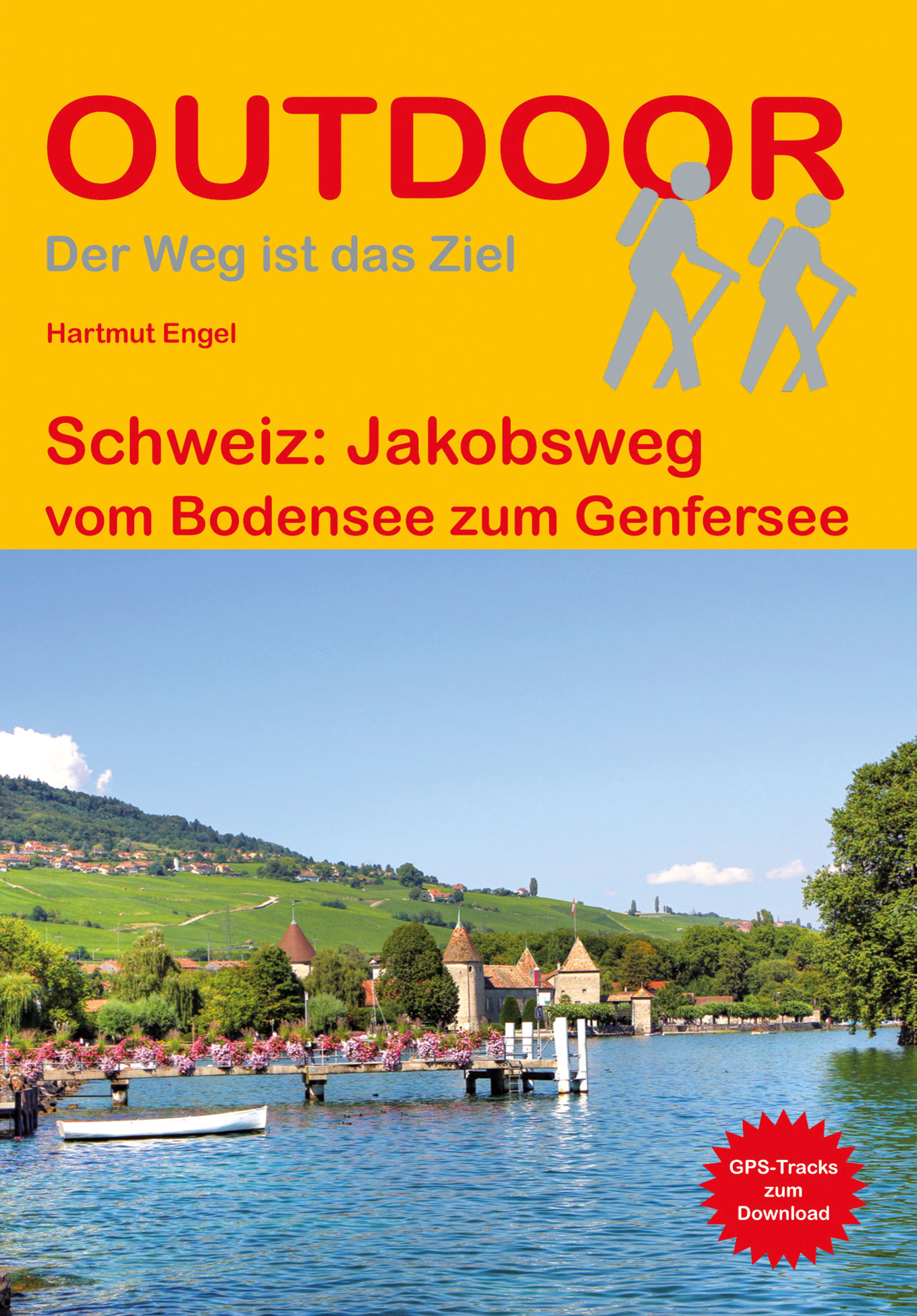
- Via JacobiGPX
- Via RhenanaGPX
- Via SbrinzGPX
- Via SplugaGPX
- Via StockalperGPX
- Via ValtellinaGPX
- Voralpenweg - 4GPX
- Walk of Peace
- Walliser SonnenwegGPX
- WALSA-wegGPX
- Weg der SchweizGPX
- Züri Oberland HöhenwegGPX
- Zürich-Zugerland PanoramawegGPX
- Zentralalpenweg - 2GPX


Links
Feiten
Verslagen
Gidsen en kaarten
Overnachting
Organisaties
Reisorganisaties
GPS
Anders
Boeken
Netherlands
2022
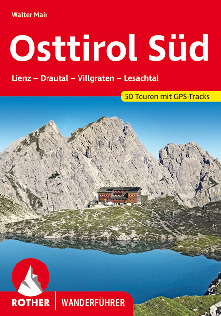
- Wandelgids Osttirol Süd | Rother Bergverlag
- Uitstekende wandelgids met een groot aantal dagtochten in dal en hooggebergte. Met praktische informatie en beperkt kaartmateriaal! Wandelingen in verschillende zwaarte weergegeven in rood/blauw/zwart. Osttirol liegt südlich der Hohen Tauern, der höchsten Alpenkette Österreichs, die so manche Regenfront aus dem Norden abhält. Von Süden her tun... Read more

Netherlands
2014
- Wandelgids - Pelgrimsroute 6531 Sentier vers Saint-Jacques-de-Compostelle : Montgenèvre - Arles GR653D | FFRP
- Guide FFRandonnée Sentier vers Saint-Jacques-de-Compostelle : Montgenèvre - Arles - GR 653D - 459 km de sentiers GR. La Voie d'Arles. Un chemin incontournable, à la fois itinéraire jacquaire et ancienne voie romaine, qui vous fera découvrir 4 départements aux paysages contrastés et au... Read more
- Also available from:
- Stanfords, United Kingdom

United Kingdom
2014
- GR653D Chemins de St-Jacques: Montgenèvre - Arles FFRP Topo-guide No. 6531
- Chemins de St-Jacques: Montgenèvre - Arles, FFRP topoguide Ref. no. 6531, covering a 459km route along the GR653D from Montgenèvre in the French Alps on the Italian border, across Gap, Sisteron, Apt and Cavaillon, to Arles. Current edition of this title was published in June 2014.ABOUT THE FFRP (Fédération française de la randonnée pédestre)... Read more


Netherlands
2015
- Wandelgids Österreich: Adlerweg - Oostenrijk | Conrad Stein Verlag
- Handzaam boekje met de routebeschrijving inclusief een heleboel praktische informatie. De beschrijving is uitstekend, maar kaarten zijn beperkt en schetsmatig aanwezig. Duits. Dieses OutdoorHandbuch beschreibt Tirols bekanntesten Fernwanderweg, den 320 km langen Adlerweg zwischen St. Johann i. T. im Osten und der Passhöhe des Arlbergpasses im... Read more

Netherlands
2022
- Klimgids - Klettersteiggids Bayern, Vorarlberg, Tirol, Salzburg | Rother Bergverlag
- 92 Klettersteige zwischen Rhein und Salzach Rother Wanderführer. 10., vollständig neu bearbeitete Auflage. Read more

Netherlands
2020
- Wandelgids Leichte Wanderungen Münchner Berge | Rother Bergverlag
- 40 Touren zwischen Garmisch und Chiemgau Rother Wanderführer. 3. Auflage. Read more
- Also available from:
- Stanfords, United Kingdom

United Kingdom
2019
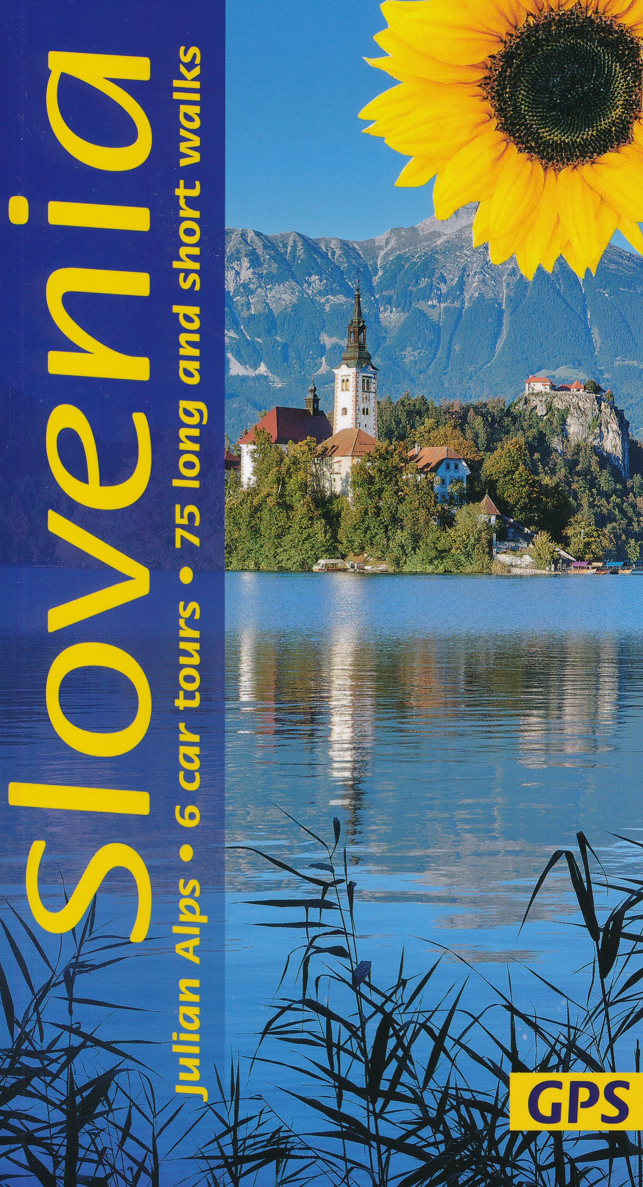
- Slovenia Sunflower Landscape Guide
- Several new walks have been added in this 5th edition, which was checked on the ground a few months prior to publication. The maps have been redesigned with waypoints, and GPS tracks are now available for all the walks. The book is one of the first in our new wider format: no mapping is lost in the gutter. Read more
Netherlands
2019
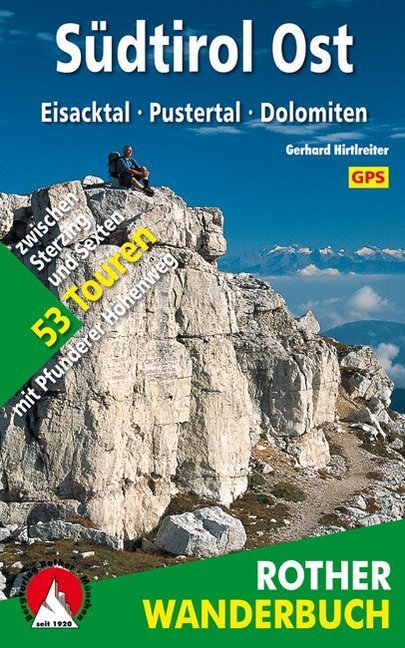
- Wandelgids Südtirol Ost Eisacktal - Pustertal - Dolomiten | Rother Bergverlag
- De ‘Rother Wanderbücher’ behandelen telkens de 50 mooiste wandelingen, die variëren van eenvoudige kindvriendelijke wandelingen tot routes die aanzienlijk meer ervaring vereisen. Uitvoerige routebeschrijvingen, een aantrekkelijke lay-out met vele kleurenfoto’s, niets aan duidelijkheid te wensen gelaten hoogteprofielen, kaartjes met de... Read more
Netherlands
2022
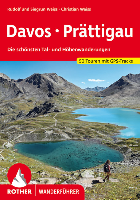
- Wandelgids Davos - Prättigau | Rother Bergverlag
- Uitstekende wandelgids met een groot aantal dagtochten in dal en hooggebergte. Met praktische informatie en beperkt kaartmateriaal! Wandelingen in verschillende zwaarte weergegeven in rood/blauw/zwart. Die Landschaft Davos und das Prättigau mit den bekannten Orten Davos, Klosters und Landquart bieten ein schier unerschöpfliches Angebot an... Read more

Netherlands
2015
- Wandelgids 6543 Sentier vers Saint-Jacques-de-Compostelle via Vezelay : Périgueux - Roncevaux - GR654 | FFRP
- Guide FFRandonnée Sentier vers St-Jacques-de-Compostelle : Périgueux-Ronceveaux. GR 654. Voie de Vézelay vers Compostelle : suite de l'itinéraire décrit dans le topo-guide réf. 6542 'Sentier vers St-Jacques-de-Compostelle : Vézelay-Périgueux'.Passé le seuil du Périgord blanc,... Read more
- Also available from:
- Stanfords, United Kingdom

United Kingdom
2015
- GR654 Sentier St-Jacques: Perigueux - Roncevaux FFRP Topo-guide No. 6543
- Sentier St-Jacques: Perigueux - Roncevaux, FFRP topoguide Ref. no. 6543, covering the second part of the Way of St James route along the GR654 which starts in Vézelay, the section from Perigueux to the Pyrenees. Also covered is an eastern route from Bergerac to Montréal-de-Gers. Current edition of this title was published in June 2014.ABOUT THE... Read more
Netherlands
2021
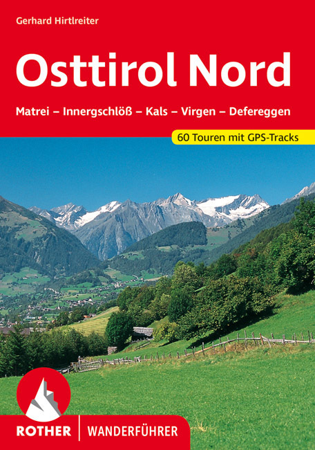
- Wandelgids Osttirol Nord | Rother Bergverlag
- Uitstekende wandelgids met een groot aantal dagtochten in dal en hooggebergte. Met praktische informatie en beperkt kaartmateriaal! Wandelingen in verschillende zwaarte weergegeven in rood/blauw/zwart. Das »Sonnenland« Osttirol liegt - fast zur Hälfte höher als 2000 m - südlich der höchsten Alpenkette Österreichs, der Hohen Tauern. Es ist von... Read more
Netherlands
2015

Netherlands
2021

Kaarten

Netherlands
2016
- Wandelgids The Cretan Way E4 | Anavasi
- The Cretan Way is a 500km walking route which takes you from east to west across the varied and spectacular landscapes of Crete. It is the ideal way to discover the rural, mountainous and costal regions of this incredible island. This guide is based on a 28-day walk.This guide includes practical information, maps at a scale of 1:25.000 of... Read more
- Also available from:
- Stanfords, United Kingdom

United Kingdom
2016
- The Cretan Way - A 28 Day Walk
- The Cretan Way is a 500km walking route which takes you from east to west across the varied and spectacular landscapes of Crete. It is the ideal way to discover the rural, mountainous and costal regions of this incredible island. This guide is based on a 28-day walk.This guide includes practical information, maps at a scale of 1:25.000 of... Read more

Netherlands
2020
- Wandelatlas - Pelgrimsroute (kaart) 161 Chemins de Compostelle GR65 | Michelin
- Véritable petit atlas détaillant chaque étape avec indications précises concernant les villes de départ et d'arrivée ainsi que pour les localités traversées (auberges, refuges, restaurants, pharmacies, gare, épiceries, Km parcourus, Km restants....).Ce petit atlas suit le chemin du... Read more

Netherlands
2017
- Wandelgids Der Meraner Höhenweg | Tappeiner Verlag
- Prachtig uitgevoerde wandelgids met veel foto's en uitgebreide tekst. Bijgevoegd een gedetailleerde kaart van 1:25.000 met de ingetekende route. De kaart is toereikend om te gebruiken op de route; op de achterkant staat dan de praktische informatie nog een extra vermeld. In diesem Buch über den Meraner Höhenweg werden einerseits die Entstehung... Read more
Netherlands
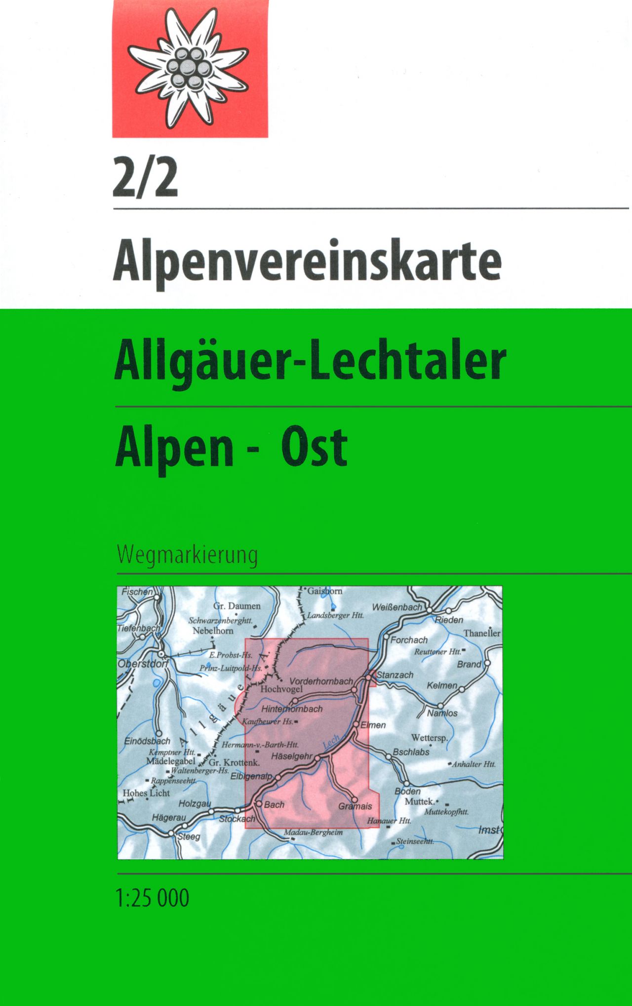
- Wandelkaart 02/2 Alpenvereinskarte Allgäuer - Lechtaler Alpen, Ost | Alpenverein
- De beste en meest gedetailleerde kaarten van met name de Oostenrijkse alpen: wandelroutes zijn naar zwaarte onderscheidend gemarkeerd, gletsjeroverschrijdingen staan aangegeven en de verschillende soorten hutten ingetekend. Met als ondergrond de topografische kaarten bieden ze een schat aan informatie voor elke beginnende en gevorderde... Read more
- Also available from:
- Stanfords, United Kingdom

United Kingdom
- Allgau-Lechtal Alps East Alpenverein Map 2/2
- Allgäuer - Lechtaler Alpen East area of the Alps in a hiking edition at 1:25,000 from a series of detailed, GPS compatible maps published by the DAV - Deutscher Alpenverein and produced by the German and Austrian Alpine Clubs using cartography from their respective survey organizations. Maps in this series have topography vividly presented by... Read more
- Also available from:
- Stanfords, United Kingdom

United Kingdom
- Juist Kompass 728
- The East Frisian island of Juist on a detailed, contoured and GPS compatible map at 1:20,000 from Kompass with local and long-distance footpaths, cycling routes, accommodation, etc. printed on durable, waterproof and tear-resistant synthetic paper. An additional panel provides a street plan of the town of Juist. KOMPASS HIKING & RECREATIONAL... Read more
Netherlands
- Also available from:
- Stanfords, United Kingdom

United Kingdom
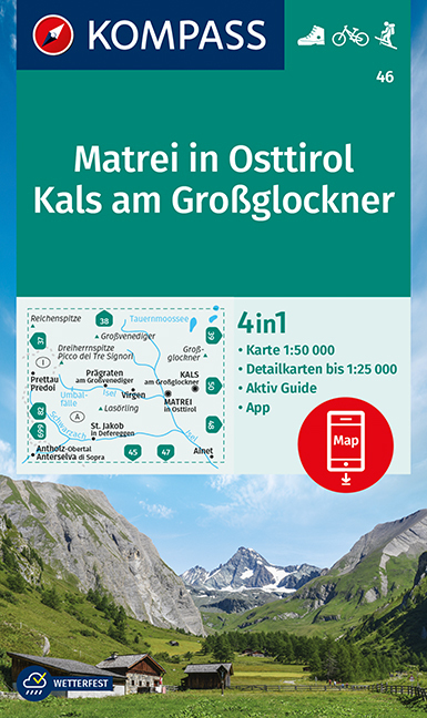
- Matrei in Osttirol - Kals am Grossglockner Kompass 46
- Matrei in Osttirol - Kals am Großglockner (No.46) a detailed, GPS compatible map at 1:50,000 from Kompass with local and long-distance footpaths, cycling routes, accommodation, etc, printed on durable, waterproof and tear-resistant synthetic paper. KOMPASS HIKING & RECREATIONAL MAPS:This title is part of an extensive series covering Austria,... Read more
Netherlands
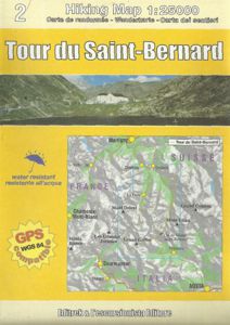
- Wandelkaart Tour du Saint-Bernard | L'Escursionista editore
- Tour of Saint-Bernard long-distance hiking route presented on a waterproof and tear-resistant, contoured and GPS compatible map at 1:25,000 published jointly by L Read more
- Also available from:
- Stanfords, United Kingdom

United Kingdom
- Tour of Saint-Bernard L`Escursionista Editore Map-Guide
- Tour of Saint-Bernard long-distance hiking route presented on a waterproof and tear-resistant, contoured and GPS compatible map at 1:25,000 published jointly by L’Escursionista Editore and Editrek, plus a separate multilingual guide booklet with stage by stage descriptions and other tourist information.Contour interval is 25m and the map has... Read more
Netherlands
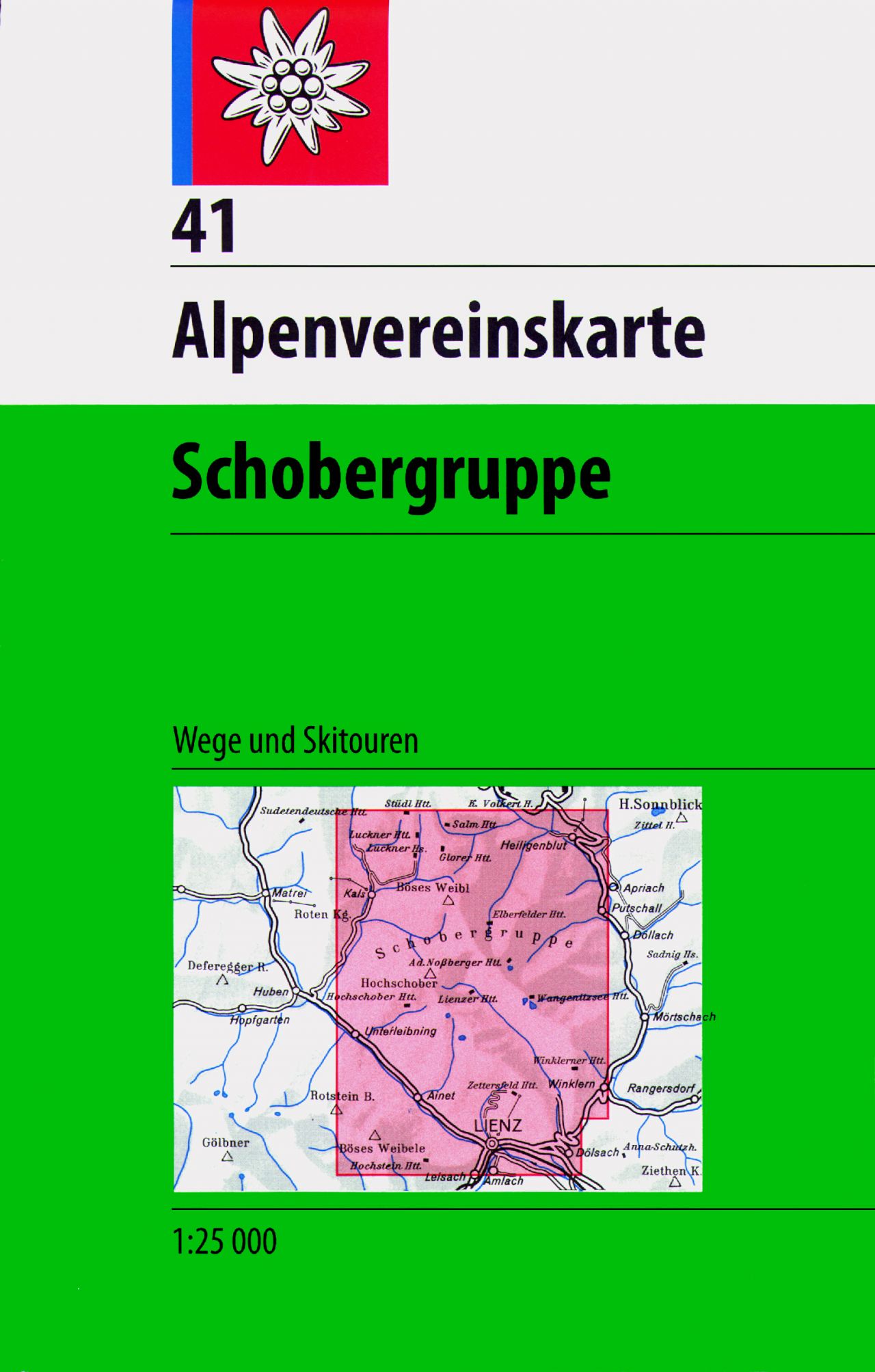
- Wandelkaart 41 Alpenvereinskarte Schobergruppe | Alpenverein
- Schobergruppe area of the Alps in a combined hiking and ski edition at 1:25,000 from a series of detailed, GPS compatible maps published by the DAV - Deutscher Alpenverein and produced by the German and Austrian Alpine Clubs using cartography from their respective survey organizations. Maps in this series have topography vividly presented by... Read more
- Also available from:
- Stanfords, United Kingdom

United Kingdom
- Schobergruppe Alpenverein KOMBI Map 41
- Schobergruppe area of the Alps in a combined hiking and ski edition at 1:25,000 from a series of detailed, GPS compatible maps published by the DAV - Deutscher Alpenverein and produced by the German and Austrian Alpine Clubs using cartography from their respective survey organizations. Maps in this series have topography vividly presented by... Read more
Netherlands
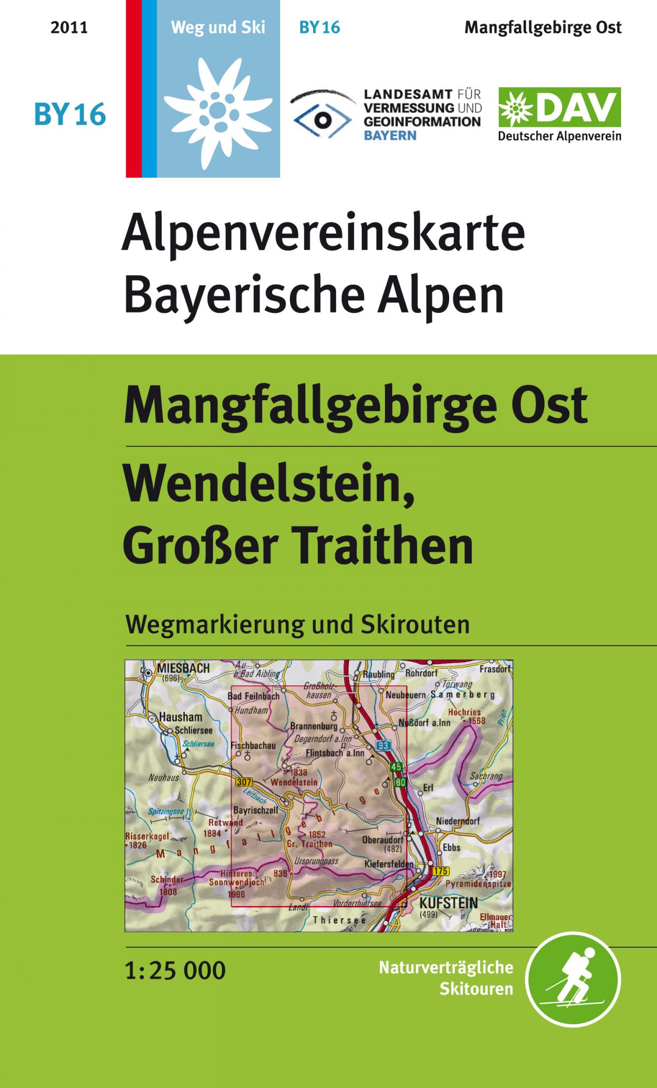
- Wandelkaart BY16 Alpenvereinskarte Mangfallgebirge Ost | Alpenverein
- Mangfallgebirge East – Wendelstein, map No. BY 16, in a series of highly detailed, GPS compatible hiking maps at 1:25,000 of the German Alps, published by the Deutscher Alpenverein, the German Alpine Club, with cartography of the German topographic survey from the Bavarian state survey organization. The maps use the survey’s excellent detailed... Read more
- Also available from:
- Stanfords, United Kingdom

United Kingdom
- Mangfallgebirge East - Wendelstein - Grosser Traithen Alpenverein KOMBI BY16
- Mangfallgebirge East – Wendelstein, map No. BY 16, in a series of highly detailed, GPS compatible hiking maps at 1:25,000 of the German Alps, published by the Deutscher Alpenverein, the German Alpine Club, with cartography of the German topographic survey from the Bavarian state survey organization. The maps use the survey’s excellent detailed... Read more
Netherlands
2023