
Asturias
Beschrijving
Kaart

Paden in deze regio
- Camino PrimitivoGPX
- GR1 Sendero Histórico, Senda TransversalGPX
- GR100 Ruta de la PlataGPX
- GR101 Camino Real de la MesaGPX
- GR102 Camino Real de Sellón
- GR105 Ruta de las PeregrinacionesGPX
- GR106 Ruta de San MelchorGPX
- GR108 Travesía AndariegaGPX
- GR200 Ruta de los Palacios
- GR201 Senda del ArcedianoGPX
- GR202 Ruta La ReconquistaGPX
- GR204 Senda CosteraGPX
Links
Feiten
Verslagen
Gidsen en kaarten
Overnachting
Organisaties
Reisorganisaties
GPS
Anders
Boeken

De Zwerver
Netherlands
2022
Netherlands
2022
De Zwerver
Netherlands
2023
Netherlands
2023
De Zwerver
Netherlands
2017
Netherlands
2017
Bol.com
Netherlands
Netherlands
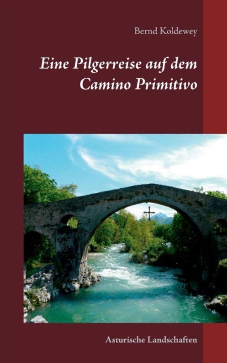
- Eine Pilgerreise Auf Dem Camino Primitivo
- Endlich war es wieder so weit, eine neue Pilgerreise in Spanien stand an. Anfang Mai 2013 machten wir uns auf den langen Weg nach Asturien. Von hier wollten wir den sogenannten ursprunglichen Jakobsweg den Camino Primitivo" erkunden. Er beginnt in Oviedo, der Hauptstadt des Furstentums Asturien und verlauft auf seinem 322 km langen Weg bis... Read more
- Also available from:
- Bol.com, Belgium
Bol.com
Belgium
Belgium
- Eine Pilgerreise Auf Dem Camino Primitivo
- Endlich war es wieder so weit, eine neue Pilgerreise in Spanien stand an. Anfang Mai 2013 machten wir uns auf den langen Weg nach Asturien. Von hier wollten wir den sogenannten ursprunglichen Jakobsweg den Camino Primitivo" erkunden. Er beginnt in Oviedo, der Hauptstadt des Furstentums Asturien und verlauft auf seinem 322 km langen Weg bis... Read more
Bol.com
Netherlands
2018
Netherlands
2018
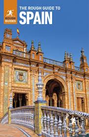
- The Rough Guide to Spain
- Discover Spain with the most incisive and entertaining guidebook on the market. Whether you plan on exploring Andalucia's White Towns, sampling the legendary nightlife of Madrid or hiking in the Picos de Euuropa, this new edition of The Rough Guide to Spain will show you the ideal places to sleep, eat, drink, shop and visit along the way.... Read more
- Also available from:
- Bol.com, Belgium
Bol.com
Belgium
2018
Belgium
2018
- The Rough Guide to Spain
- Discover Spain with the most incisive and entertaining guidebook on the market. Whether you plan on exploring Andalucia's White Towns, sampling the legendary nightlife of Madrid or hiking in the Picos de Euuropa, this new edition of The Rough Guide to Spain will show you the ideal places to sleep, eat, drink, shop and visit along the way.... Read more

De Zwerver
Netherlands
2018
Netherlands
2018
- Wandelgids - Pelgrimsroute Camino Primitivo | Conrad Stein Verlag
- Das Buch beschreibt den Verlauf des ältesten, ca. 330 km langen Jakobsweg Camino Primitivo, den weiteren Verlauf des Camino Francés bis Santiago und den anschließenden Weg nach Finisterre. Der Weg über die Berge Asturiens und Galiciens gilt unter Insidern als eine reizvolle Mischung aus Pilgern und Bergwandern. Wenngleich der Weg heute über ein... Read more
- Also available from:
- Bol.com, Netherlands
- Bol.com, Belgium
Bol.com
Netherlands
2017
Netherlands
2017
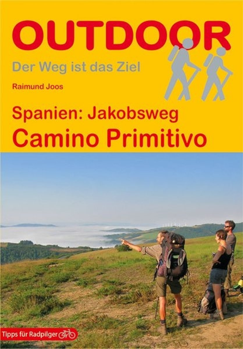
- Spanien: Jakobsweg Camino Primitivo
- Durch die Berge Asturiens und Galiciens führt der Camino Primitivo von Oviedo Richtung Santiago de Compostela. Das Buch beschreibt den Verlauf des ca. 320 km langen Jakobswegs bis Melide, den Weiterweg des Camino Francés bis Santiago und die anschließende Strecke nach Finisterre. Alle Beschreibungen wurden ebenso wie die genauen Angaben zu... Read more
Bol.com
Belgium
2017
Belgium
2017
- Spanien: Jakobsweg Camino Primitivo
- Durch die Berge Asturiens und Galiciens führt der Camino Primitivo von Oviedo Richtung Santiago de Compostela. Das Buch beschreibt den Verlauf des ca. 320 km langen Jakobswegs bis Melide, den Weiterweg des Camino Francés bis Santiago und die anschließende Strecke nach Finisterre. Alle Beschreibungen wurden ebenso wie die genauen Angaben zu... Read more
Kaarten

De Zwerver
Netherlands
Netherlands
- Pelgrimsroute (kaart) - Wandelkaart Camino de Santiago in Spanje | CNIG - Instituto Geográfico Nacional
- All roads leading to Santiago de Compostela in the Iberian Peninsula are represented on this Caminos de Santiago / The Way of St. James Map. Routes highlighted on a physical map of the Iberian Peninsula at 1:1,250,000 from IGN/CNIG, Spain civilian topographic survey organization. The base map with altitude colouring and relief shading provides... Read more
- Also available from:
- Stanfords, United Kingdom

Stanfords
United Kingdom
United Kingdom
- Caminos de Santiago / Ways of St. James on the Iberian Peninsula CNIG Overview Map
- All roads leading to Santiago de Compostela in the Iberian Peninsula are represented on this Caminos de Santiago / The Way of St. James Map. Routes highlighted on a physical map of the Iberian Peninsula at 1:1,250,000 from IGN/CNIG, Spain civilian topographic survey organization. The base map with altitude colouring and relief shading provides... Read more
De Zwerver
Netherlands
Netherlands
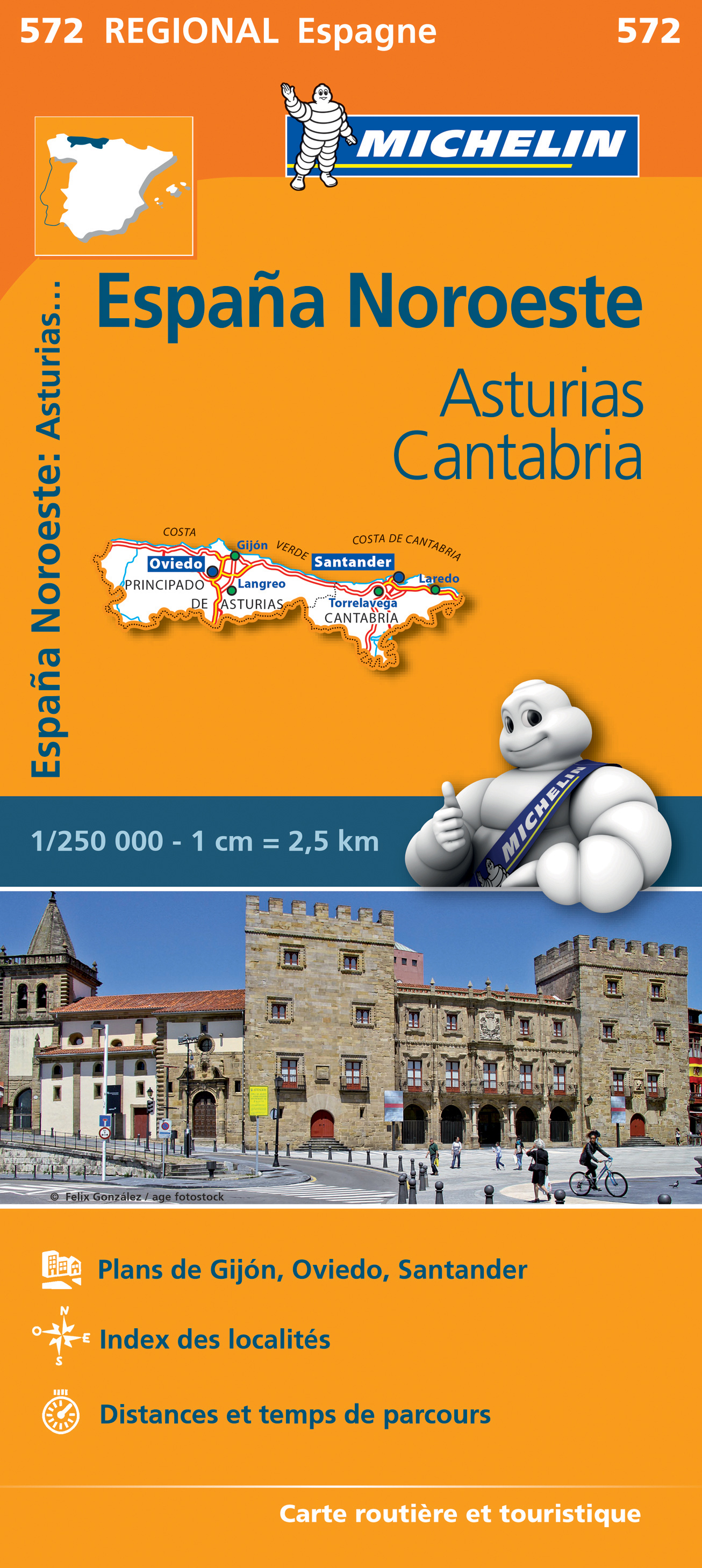
- Wegenkaart - landkaart 572 Asturias - Cantabria - Oviedo - Santander | Michelin
- Une carte fiable pour parcourir les régions d'Europe Read more
De Zwerver
Netherlands
2021
Netherlands
2021
De Zwerver
Netherlands
Netherlands
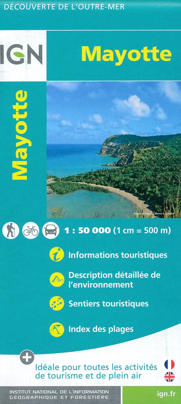
- Fietskaart - Wandelkaart Mayotte | IGN - Institut Géographique National
- MayotteLes cartes routières et touristiques de l?Outre-mer vous permettent de découvrir ces destinations exotiques. Read more
- Also available from:
- Stanfords, United Kingdom

Stanfords
United Kingdom
United Kingdom
- Mayotte IGN Map 84976
- Mayotte at 1:50,000 on a contoured and GPS compatible map from the IGN, with plans of Mazoudzou and Dzaoudzi, plus an index of beaches. Topography is shown by contours at 20m intervals with relief shading and spot heights, plus colouring and/or graphics for different types of vegetation. In the surrounding waters coral reefs are prominently... Read more

Stanfords
United Kingdom
United Kingdom
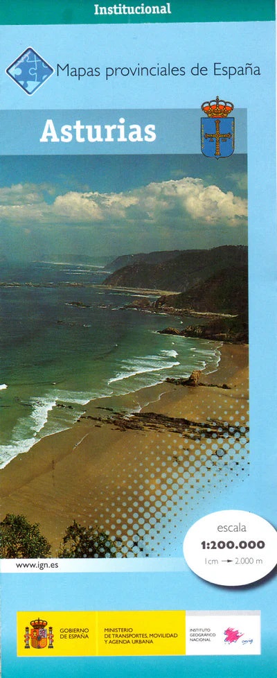
- Asturias Province 200K CNIG Map No. 5
- Contoured, GPS-compatible, indexed road map at 1:200,000 from CNIG - Spain’s civilian survey organization, with exceptionally informative presentation of the landscape and highlighting for facilities and places of interest including campsites and paradors.Maps in CNIG’s 200K Provincial Series provide an excellent picture the topography through... Read more

Stanfords
United Kingdom
2017
United Kingdom
2017
- Le Chemin du Piemont Pyreneen - vers Saint-Jacques-de-Compostell
- Le Chemin du Piémont Pyrénéen, FFRP topoguide, Ref. No. 780, covering the GR78 - the Way of St. James along the northern side of the Pyrenees from Carcassonne to Roncesvalles on the Spanish side, with an alternative variant to cross the mountains along the Col du Somport. Current edition of this title was published in May 2017.The route, the... Read more

Stanfords
United Kingdom
United Kingdom
- Alto Sil
- Alto Sil area in the Cordillera Cantabrica on the border of Asturias and León on a detailed, contoured, GPS compatible map at 1:50,000 from Calecha highlighting numerous waymarked hiking trails, various types of tourist accommodation, etc.Cartographic information is based on the Spanish military survey, with contour lines at 20m intervals, plus... Read more