Costa Brava
Beschrijving
The "Wild Coast", popular holiday destination, extending some 200 km South starting from the French border.
Paden in deze regio
Links
Feiten
Verslagen
Gidsen en kaarten
Overnachting
Organisaties
Reisorganisaties
GPS
Anders
Boeken
De Zwerver
Netherlands
2024
Netherlands
2024
De Zwerver
Netherlands
2017
Netherlands
2017
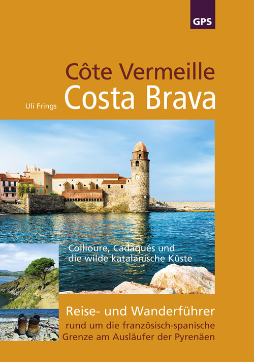
- Wandelgids Côte Vermeille, Costa Brava, Katalonien | Uli Frings Verlag
- Reise- und Wanderführer rund um die französisch-spanische Grenze am Ausläufer der Pyrenäen Read more
De Zwerver
Netherlands
2021
Netherlands
2021
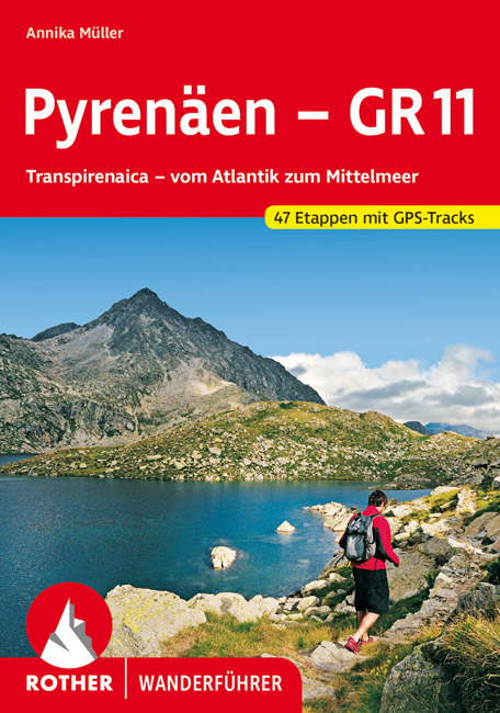
- Wandelgids Pyrenäen - GR 11 - Pyreneeen | Rother Bergverlag
- Goede compacte wandelgids van de GR11, de Spaanse doorgaande Pyreneeën route. Veel praktische informatie, kaartmateriaal beperkt, met hoogteprofielen. Majestätisch ragen schneebedeckte Gipfel auf, verträumt liegen Bergseen in stillen Landschaften, wie von der Zeit vergessen scheinen die wenigen, kleinen Bergdörfer zu sein – und über ihnen allen... Read more
De Zwerver
Netherlands
Netherlands
De Zwerver
Netherlands
Netherlands
De Zwerver
Netherlands
2021
Netherlands
2021
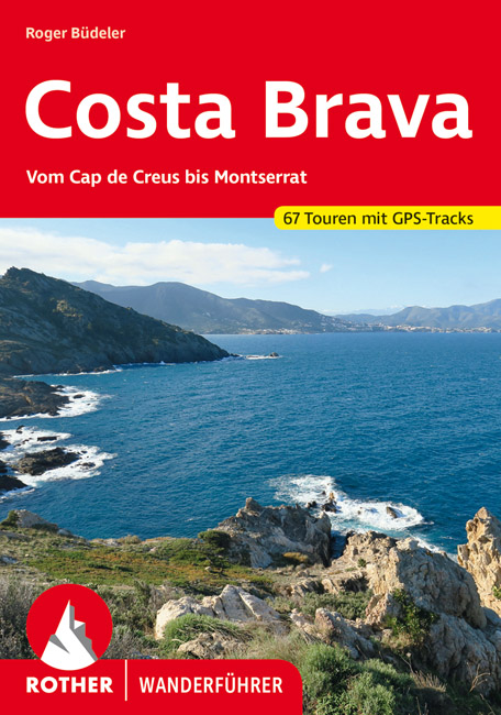
- Wandelgids 270 Costa Brava | Rother Bergverlag
- Uitstekende wandelgids met een groot aantal dagtochten in dal en hooggebergte. Met praktische informatie en beperkt kaartmateriaal! Wandelingen in verschillende zwaarte weergegeven in rood/blauw/zwart. Die »wilde Küste« Spaniens ist eines der beliebtesten Ferienziele der Iberischen Halbinsel. Von den andernorts bekannten Auswüchsen... Read more
De Zwerver
Netherlands
2021
Netherlands
2021
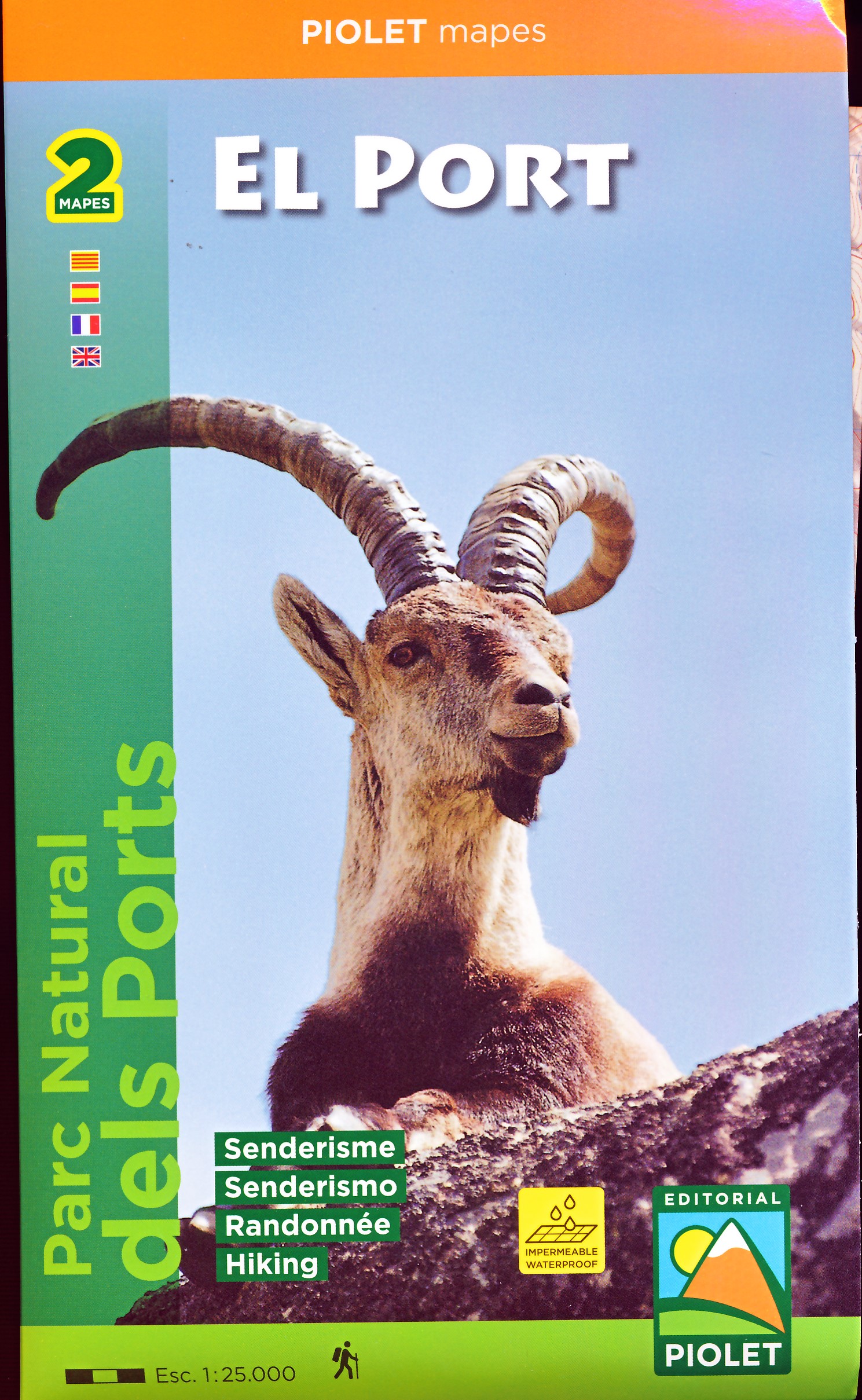
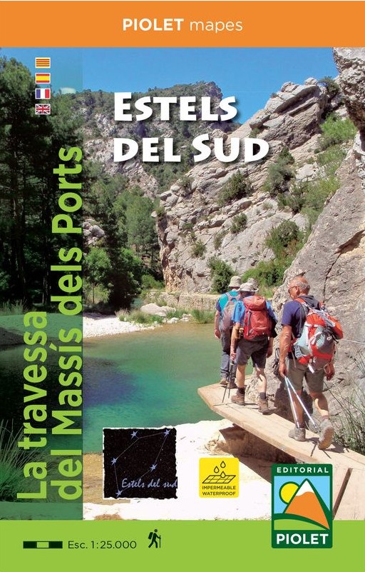
- Wandelkaart Estels del Sud | Editorial Piolet
- La travessa del MassÃs dels Ports Read more
De Zwerver
Netherlands
2010
Netherlands
2010
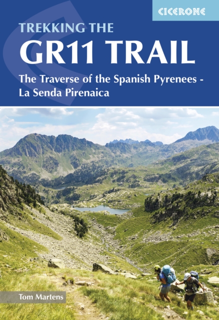
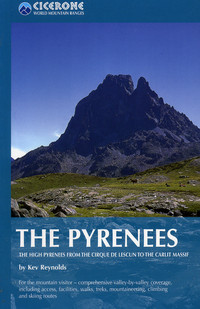
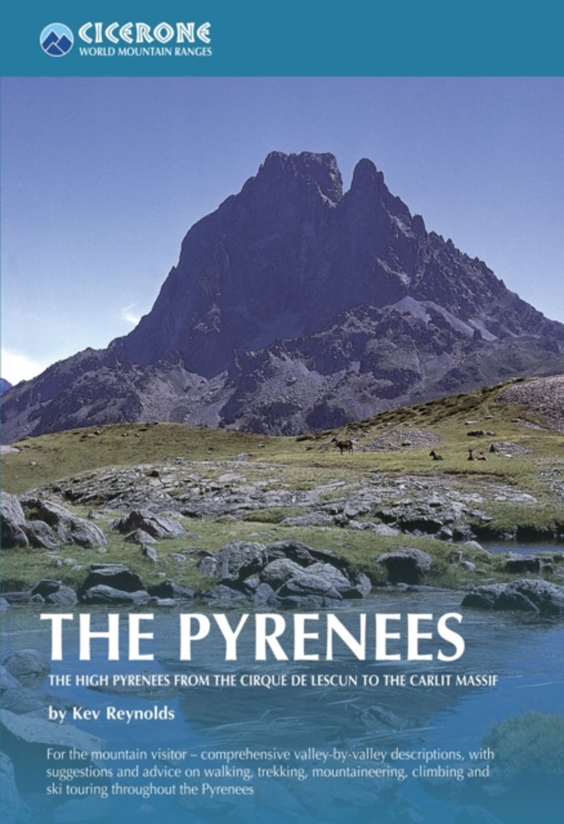
- Wandelgids - Klimgids - Klettersteiggids The Pyrenees | Cicerone
- A resource book covering the finest walks, treks and climbs in the High Pyrenees for 400km between France and Spain, from the Cirque de Lescun, on the edge of the Basque country in the west, to the Carlit massif and the Cerdagne to the east of Andorra. It is the first in our World Mountain Ranges series. Read more
- Also available from:
- Bol.com, Netherlands
- Bol.com, Belgium
- Stanfords, United Kingdom
- The Book Depository, United Kingdom
Bol.com
Netherlands
2010
Netherlands
2010
- The Pyrenees
- A resource book covering the finest walks, treks and climbs in the High Pyrenees for 400km between France and Spain, from the Cirque de Lescun, on the edge of the Basque country in the west, to the Carlit massif and the Cerdagne to the east of Andorra. The book is divided into five regional chapters: the Western Valleys; Cirques and Canyons;... Read more
Bol.com
Belgium
2010
Belgium
2010
- The Pyrenees
- A resource book covering the finest walks, treks and climbs in the High Pyrenees for 400km between France and Spain, from the Cirque de Lescun, on the edge of the Basque country in the west, to the Carlit massif and the Cerdagne to the east of Andorra. The book is divided into five regional chapters: the Western Valleys; Cirques and Canyons;... Read more

Stanfords
United Kingdom
2010
United Kingdom
2010
- The Pyrenees: The High Pyrenees from the Cirque de Lescun to the Carlit Massif
- The Pyrenees is accomplished walker Kev Reynolds’ large-format Cicerone guide to one of Europe’s most famous and impressive mountain ranges. The guide gives a valley-by-valley description of the High Pyrenees from west to east and is a very useful reference to help identify the best locations for walking, mountaineering, skiing and climbing.... Read more

The Book Depository
United Kingdom
2010
United Kingdom
2010
- The Pyrenees
- The High Pyrenees from the Cirque de Lescun to the Carlit Massif Read more
Bol.com
Netherlands
Netherlands
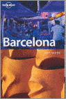
- BARCELONA CITYGUIDE 4E ING
- Barcelona is, of course, singular in its architecture and art - from the intricately carved edifices of its Gothic quarter; Gaudi's moderniste structures; and, the seminal surrealist works of Picasso and Miro that pegged Barcelona as an important birthplace for 20th-century art. An informative narrative points out interesting facts and explains... Read more
- Also available from:
- Bol.com, Belgium
Bol.com
Belgium
Belgium
- BARCELONA CITYGUIDE 4E ING
- Barcelona is, of course, singular in its architecture and art - from the intricately carved edifices of its Gothic quarter; Gaudi's moderniste structures; and, the seminal surrealist works of Picasso and Miro that pegged Barcelona as an important birthplace for 20th-century art. An informative narrative points out interesting facts and explains... Read more
Bol.com
Netherlands
Netherlands
- Barcelona
- Barcelona is, of course, singular in its architecture and art - from the intricately carved edifices of its Gothic quarter; Gaudi's moderniste structures; and, the seminal surrealist works of Picasso and Miro that pegged Barcelona as an important birthplace for 20th-century art. An informative narrative points out interesting facts and explains... Read more
- Also available from:
- Bol.com, Belgium
Bol.com
Belgium
Belgium
- Barcelona
- Barcelona is, of course, singular in its architecture and art - from the intricately carved edifices of its Gothic quarter; Gaudi's moderniste structures; and, the seminal surrealist works of Picasso and Miro that pegged Barcelona as an important birthplace for 20th-century art. An informative narrative points out interesting facts and explains... Read more
Bol.com
Netherlands
2011
Netherlands
2011
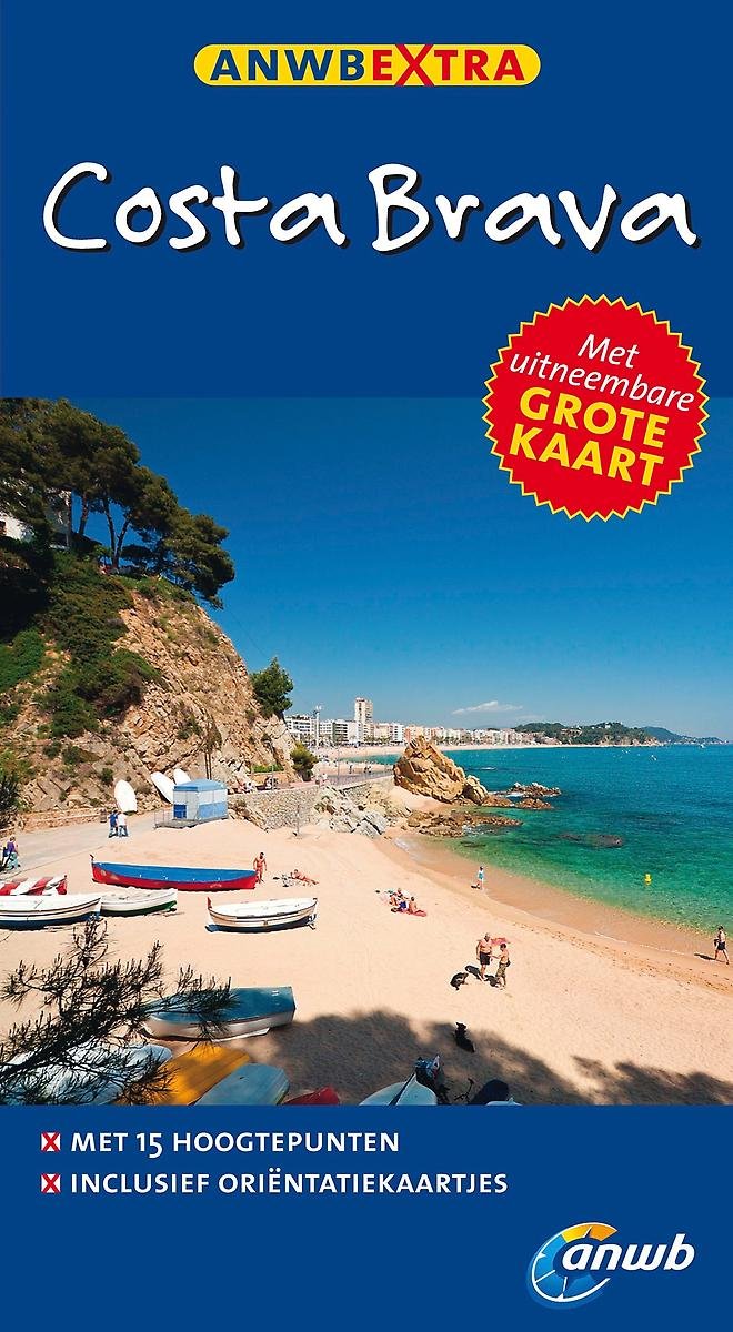
- Costa brava
- Met de ANWB Extra reisgids Costa Brava heeft u een handzame reisgezel. ¿Bezoek het Dali museum, wandel door de botanische tuin Jardi Botanic of geniet van de mooie kust van de Costa Brava.¿ In de reisgids Costa Brava staat actuele informatie over de bezienswaardigheden, café's, hotels, de lokale keuken, winkelen en uitgaan. De ANWB redactie... Read more
- Also available from:
- Bol.com, Belgium
Bol.com
Belgium
2011
Belgium
2011
- Costa brava
- Met de ANWB Extra reisgids Costa Brava heeft u een handzame reisgezel. ¿Bezoek het Dali museum, wandel door de botanische tuin Jardi Botanic of geniet van de mooie kust van de Costa Brava.¿ In de reisgids Costa Brava staat actuele informatie over de bezienswaardigheden, café's, hotels, de lokale keuken, winkelen en uitgaan. De ANWB redactie... Read more
Bol.com
Netherlands
Netherlands
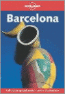
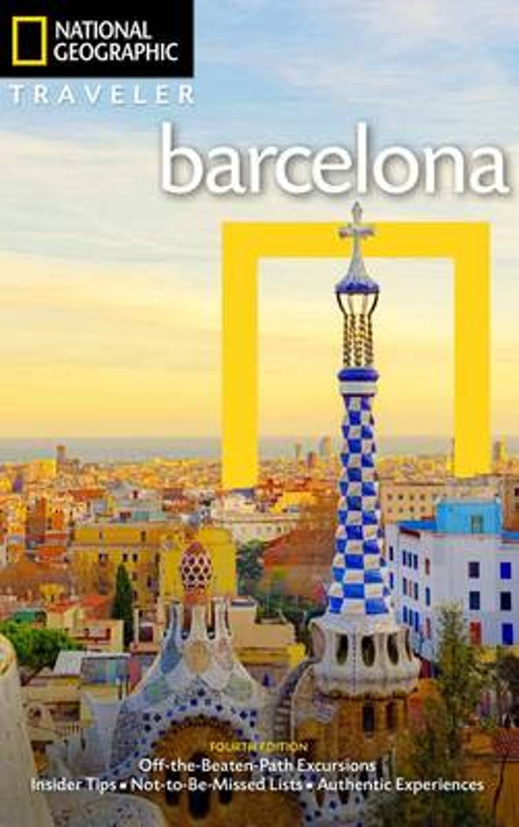
- National Geographic Traveler
- Celebrating Barcelona's stronghold on architecture and art, this completely updated and revised guide to the city makes sure you don't miss a thing--from the intricately carved edifices of its Gothic quarter; Gaudi's moderniste structures; and the seminal surrealist works of Picasso and Miro. Special features include three-dimensional drawings... Read more
- Also available from:
- Bol.com, Belgium
Bol.com
Belgium
Belgium
- National Geographic Traveler
- Celebrating Barcelona's stronghold on architecture and art, this completely updated and revised guide to the city makes sure you don't miss a thing--from the intricately carved edifices of its Gothic quarter; Gaudi's moderniste structures; and the seminal surrealist works of Picasso and Miro. Special features include three-dimensional drawings... Read more
Kaarten

De Zwerver
Netherlands
Netherlands
- Wandelkaart 55 Montseny Parc Natural | Editorial Alpina
- Montseny in an extensive and very popular series of walking maps from Editorial Alpina covering the Pyrenees, Catalonia and other selected hiking areas in Spain, including Picos de Europa, Sierra Nevada and parts of Andalucía, Majorca, etc. Scales vary from 1:50,000 to 1:10,000, with the majority of the titles at 1:25,000. The maps have... Read more
- Also available from:
- Stanfords, United Kingdom

Stanfords
United Kingdom
United Kingdom
- Montseny NP - Turo de l`Home - Les Agudas - Matagalls - la Calma Editorial Alpina 2-Map Set
- Montseny in an extensive and very popular series of walking maps from Editorial Alpina covering the Pyrenees, Catalonia and other selected hiking areas in Spain, including Picos de Europa, Sierra Nevada and parts of Andalucía, Majorca, etc. Scales vary from 1:50,000 to 1:10,000, with the majority of the titles at 1:25,000. The maps have... Read more
De Zwerver
Netherlands
Netherlands
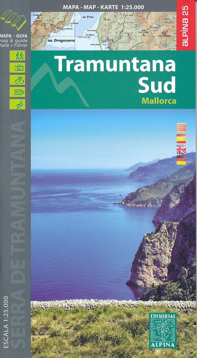
- Wandelkaart 66 Tramuntana Zuid - Mallorca | Editorial Alpina
- Zeer gedetailleerde wandelkaart van een deel van de Tramuntana op Mallorca. Met ingetekende wandelroutes en andere informatie. uitstekende kaart. Met symbolen voor campings, hutten. Let op: deze uitgever is traag met het vernieuwen van kaarten; het kan zo maar zijn dat een bepaalde kaart gedurende langere tijd niet beschikbaar is. Majorca:... Read more
- Also available from:
- Stanfords, United Kingdom

Stanfords
United Kingdom
United Kingdom
- Mallorca - Tramuntana South Editorial Alpina
- The southern part of Mallorca’s Serra de Tramuntana mountains on a contoured and GPS-compatible map at 1:25,000 from Editorial Alpina, highlighting numerous local hiking trails and the course of the GR221 long-distance trail, climbing and canyoning sites, refuges and campsites, etc. Accompanying booklet includes English-language descriptions of... Read more
De Zwerver
Netherlands
Netherlands
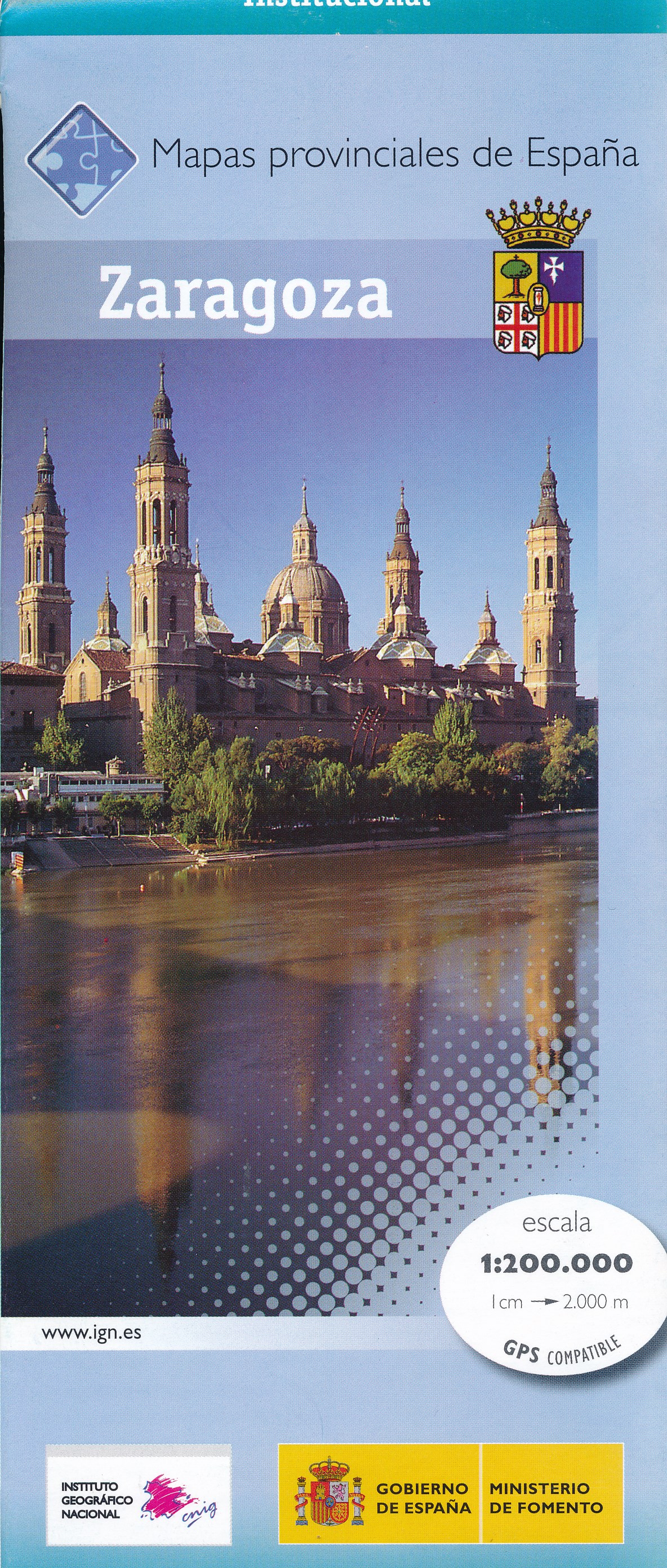
- Wegenkaart - landkaart Mapa Provincial Zaragoza | CNIG - Instituto Geográfico Nacional
- Zaragoza Province of Spain at 1:200,000 in a series of contoured, GPS-compatible, indexed road maps at 1:200,000 from the IGN/CNIG, the country’s civilian survey organization, with exceptionally informative presentation of the landscape and highlighting for facilities and places of interest including campsites and paradors.Maps in this series... Read more
- Also available from:
- Stanfords, United Kingdom

Stanfords
United Kingdom
United Kingdom
- Zaragoza Province 200K CNIG Map No. 48
- Contoured, GPS-compatible, indexed road map at 1:200,000 from CNIG - Spain’s civilian survey organization, with exceptionally informative presentation of the landscape and highlighting for facilities and places of interest including campsites and paradors.Maps in CNIG’s 200K Provincial Series provide an excellent picture the topography through... Read more
De Zwerver
Netherlands
Netherlands
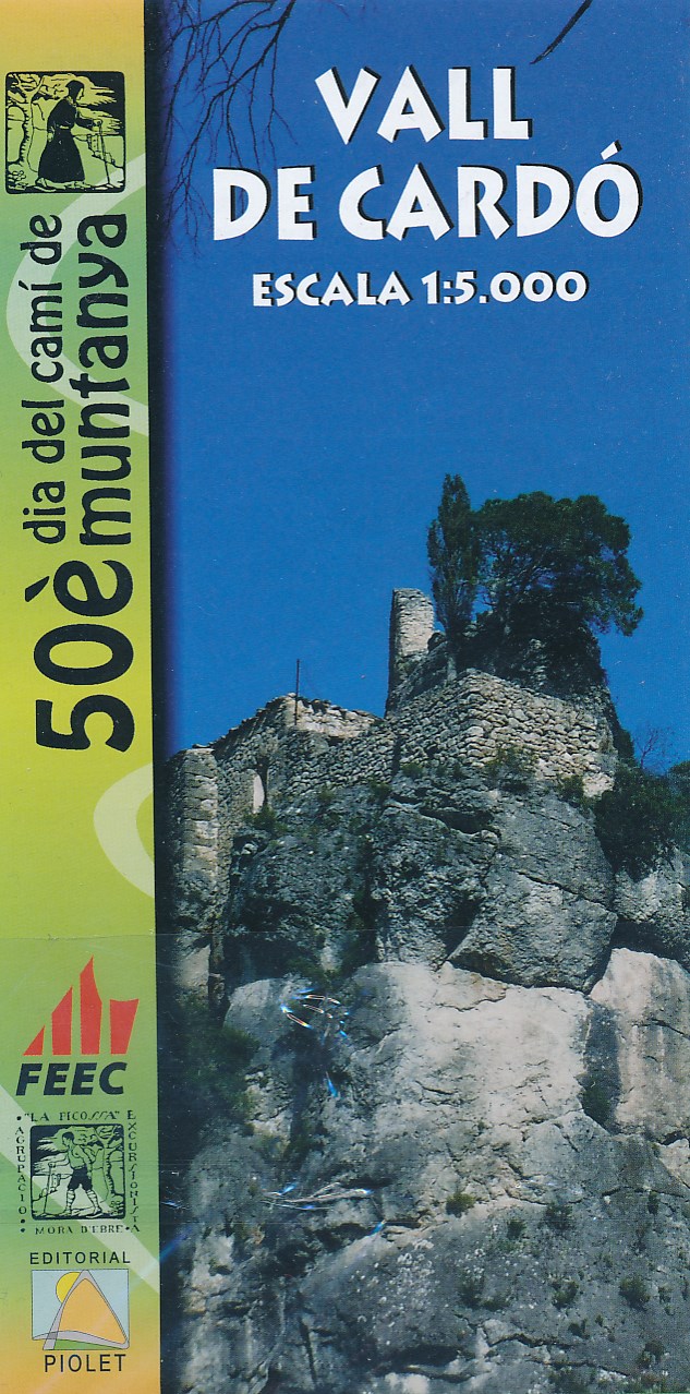
- Wandelkaart Vall de Cardo - Catalunya | Editorial Piolet
- Wandelkaart van Vall de Cardó in Catalonië. Met ingetekende wandelroutes. Read more
De Zwerver
Netherlands
Netherlands
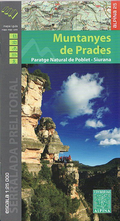
- Wandelkaart 64 Muntanyes de Prades - Paratge Natural de Poblet - Siurana | Editorial Alpina
- Wandelkaart Muntanyes de Prades, Paratge Natural de Poblet - Siurana - Mapa excursionista y guia Editorial Alpina schaal 1:25.000 met UTM grid. Op de topografische wandelkaart worden o.a. berghutten, campings aangeduid en hoogtelijnen, ingetekende wandelroutes en de GR paden (doorgaande langeafstandswandelpaden). Map of the Mountains of Prades... Read more
De Zwerver
Netherlands
Netherlands
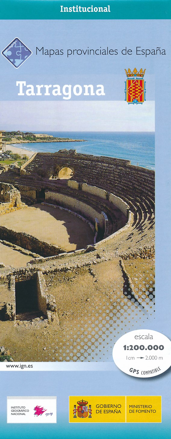
- Wegenkaart - landkaart Mapa Provincial Tarragona | CNIG - Instituto Geográfico Nacional
- Tarragona Province in a series of contoured, GPS-compatible, indexed road maps at 1:200,000 from the IGN - CNIG, Spain Read more
- Also available from:
- Stanfords, United Kingdom

Stanfords
United Kingdom
United Kingdom
- Tarragona Province 200K CNIG Map No. 42
- Contoured, GPS-compatible, indexed road map at 1:200,000 from CNIG - Spain’s civilian survey organization, with exceptionally informative presentation of the landscape and highlighting for facilities and places of interest including campsites and paradors.Maps in CNIG’s 200K Provincial Series provide an excellent picture the topography through... Read more
De Zwerver
Netherlands
Netherlands
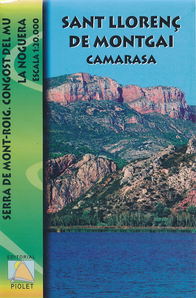
- Wandelkaart Sant Llorenç de Montgai, Camarasa | Editorial Piolet
- Wandelkaart van een deel van Catalonie: Sant Llorenç de Montgai, Camarasa, met ingetekende wandelroutes en hoogtelijnen. Read more
De Zwerver
Netherlands
Netherlands
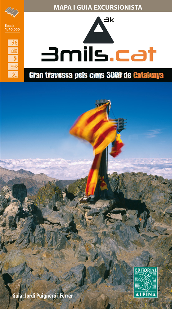
- Wandelkaart 3mils.cat | Editorial Alpina
- The “3mils.cat” route - a 125km / 10 day traverse across 10 over 3000m high peaks in the Catalan Pyrenees - on a contoured and GPS compatible map at 1:40,000 from Editorial Alpina with a booklet providing accommodation details, stage descriptions, etc.The route - from Tuc de Molières o Mulleres (3,010m), just south-east of Pic d’ Aneto, past... Read more
- Also available from:
- Stanfords, United Kingdom

Stanfords
United Kingdom
United Kingdom
- 3mils.cat: Traverse of Ten 3000m Peaks in the Catalan Pyreness
- The “3mils.cat” route - a 125km / 10 day traverse across 10 over 3000m high peaks in the Catalan Pyrenees - on a contoured and GPS compatible map at 1:40,000 from Editorial Alpina with a booklet providing accommodation details, stage descriptions, etc.The route - from Tuc de Molières o Mulleres (3,010m), just south-east of Pic d’ Aneto, past... Read more
Meer kaarten…