
Islas Canarias
Beschrijving

Located off the coast of Northwest Africa in the Atlantic, the volcanic Canary Islands are in fact a Spanish archipelago consisting of seven islands (Tenerife, Gran Canaria, Fuerteventura, La Palma, Lanzarote, El Hierro, La Gomera) and the Chinijo Archipelago of which only the island of La Graciosa is inhabited. Each of these exotic islands has its own distinctive character.
The large island of Tenerife offers breathtaking hiking, for instance up the Teide (3718 m). But there are many other trails, both marked and unmarked. Try the much greener island of La Gomera, famous among hikers, or the spectacular trails around the Caldera de Taburiente on the larger island of La Palma. These three islands, including El Hierro and Fuerteventura, have the best developed trail system, including multi-day GR’s, circular trails and smaller local routes. They are usually marked, and indicated on maps or in guides. Nevertheless you can easily get lost, in mist for example.
The trail system on the other islands - Gran Canaria, Lanzarote - is lagging behind, but also these islands offer some great hiking across stunning volcanic terrain.
The Canary Islands can be visited all year round. To avoid the heat, travel between November and May. These months bring more rain, but still in modest quantities. Your boots should give your ankles support. The islands get crowded in tourist season with beach lovers.
Here's a list of islands, in order of size:
- Tenerife, 2.034 km2: superb walking in the immense caldera, highest volcano: El Teide, excellent trail network
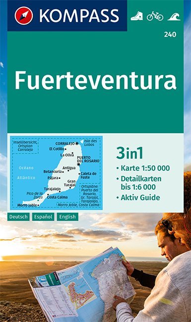
- Fuerteventura, 1.660 km2: exotic and arid island, great trail (GR131), unique nature, great in winter
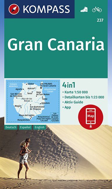
- Gran Canaria, 1.560 km2: day hikes into the rugged mountain interior
- Lanzarote, 846 km2: day hikes in the interior
- La Palma, 708 km2: excellent hiking, coastal GR and one crossing the impressive crater in the center of the island, laurel forests in the north, excellent trail network
- La Gomera, 370 km2: world famous lush laurel forests in the moist centre, popular with hikers, excellent trail network
- El Hierro, 268 km2: dramatic eroded coastline, good hike over central ridge
- La Graciosa, 29 km2: feel alone on a small ocean island, linger over lava fields and climb pumice cones
Kaart

Paden in deze regio
Links
Feiten
Verslagen
Gidsen en kaarten
Overnachting
Organisaties
Reisorganisaties
GPS
Anders
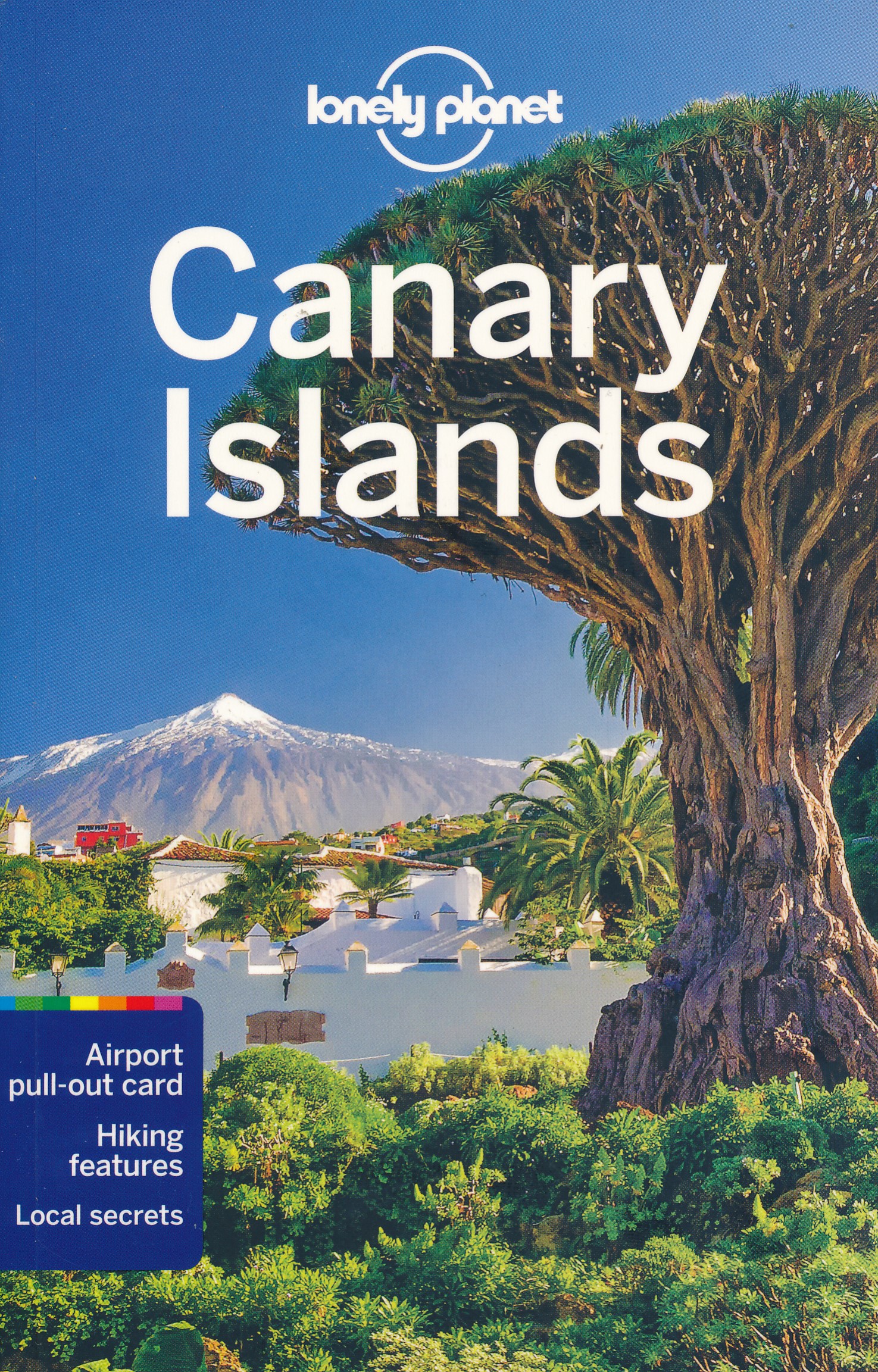
Boeken
- Also available from:
- Stanfords, United Kingdom

United Kingdom
2020
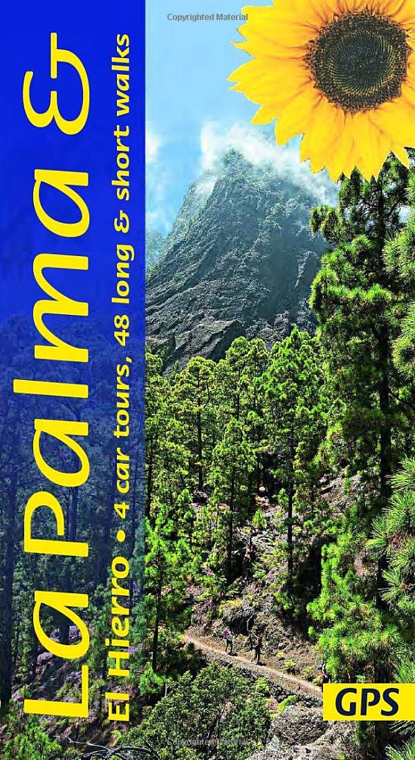
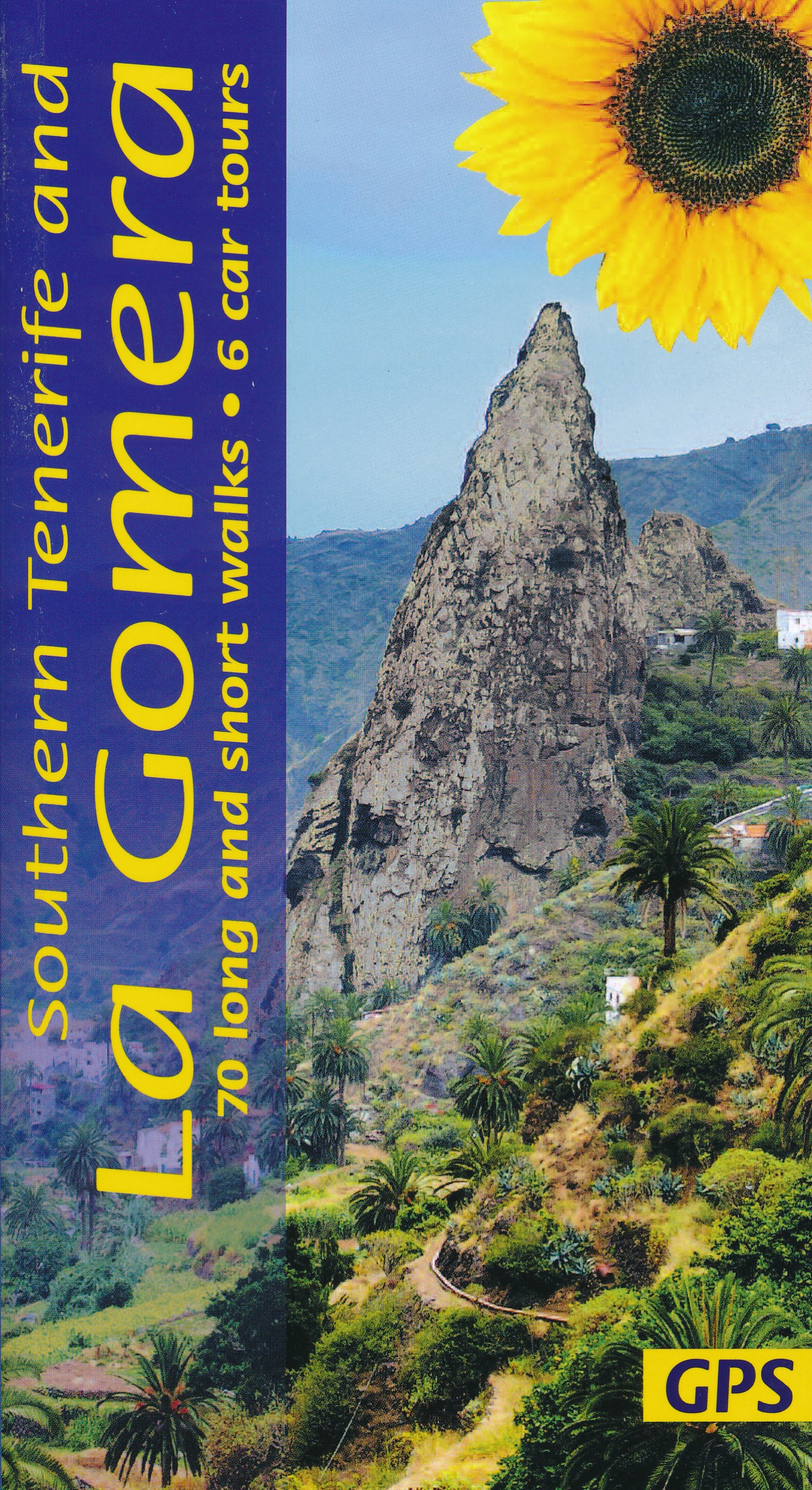
- La Palma and El Hierro Sunflower Landscape Guide
- The go-to La Palma and El Hierro travel guide for discovering the best walks and car tours. Strap on your boots and discover La Palma and El Hierro on foot with the Sunflower La Palma and El Hierro travel guide. And on the days when your feet may have had enough, enjoy some spectacular scenery on one of our legendary car tours. The Sunflower La... Read more
Netherlands
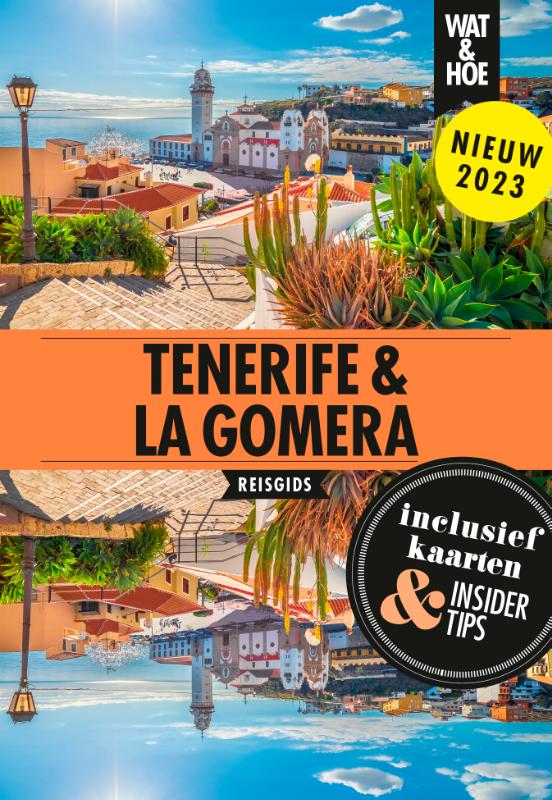
2023
Netherlands
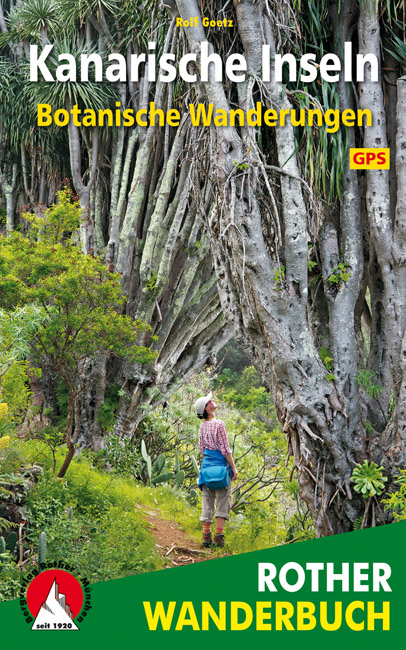
2017
Netherlands
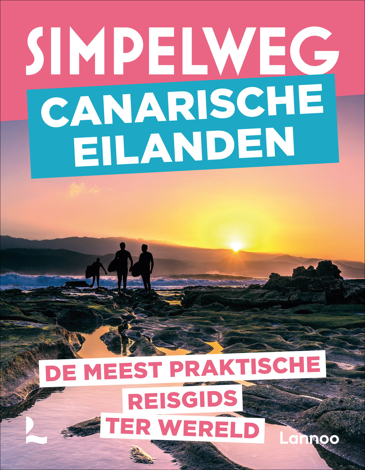
2022
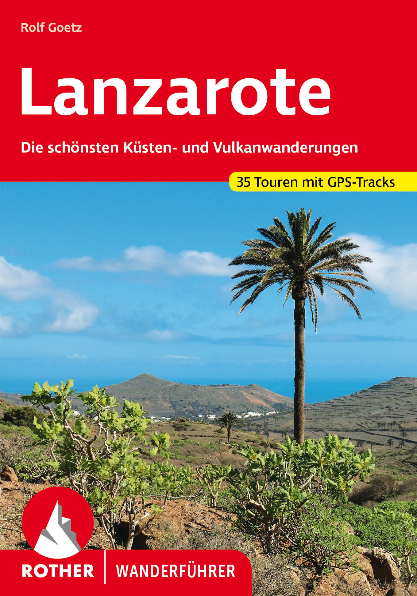
- Wandelgids Lanzarote | Rother Bergverlag
- Goede - Duitstalige - wandelgids met veel dagtochten verspreid over het gebied. Beschrijvingen zijn voldoende en praktische informatie is handig. Kaartjes beperkt. Die »Feuerinsel« ist ganz sicher das eigenwilligste Kanareneiland. Rund 300 Vulkane hinterließen auf der Insel eine ausgeglühte Mondlandschaft, wie sie bizarrer nicht sein könnte.... Read more
Netherlands
2018
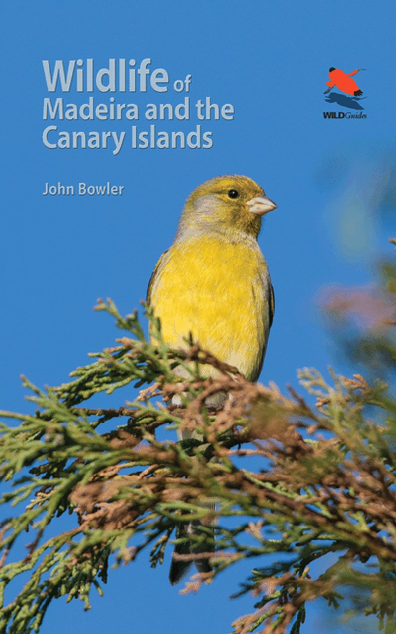
- Natuurgids - Reisgids Wildlife of Madeira and the Canary Islands | Princeton University
- This beautifully illustrated photographic field guide is the first to focus on the identification of the fascinating, diverse and unique wildlife of Madeira and the Canary Islands--featuring the birds, mammals, reptiles, amphibians, butterflies and dragonflies that are most likely to be seen. Richly illustrated introductory sections cover the... Read more
Netherlands
2024
Netherlands
2022

Kaarten
Netherlands
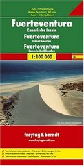
- Wegenkaart - landkaart Fuerteventura | Freytag & Berndt
- Fuerteventura at 1:100,000 on a map from Freytag & Berndt with icons highlighting numerous places of interest and recreational facilities including campsites. The island Read more
- Also available from:
- Stanfords, United Kingdom

United Kingdom
- Fuerteventura F&B
- Fuerteventura at 1:100,000 on a map from Freytag & Berndt with icons highlighting numerous places of interest and recreational facilities including campsites. The island’s topography is well presented by relief shading with spot heights, names of peaks and other geographical features, and boundaries of protected areas.The map highlights scenic... Read more
Netherlands
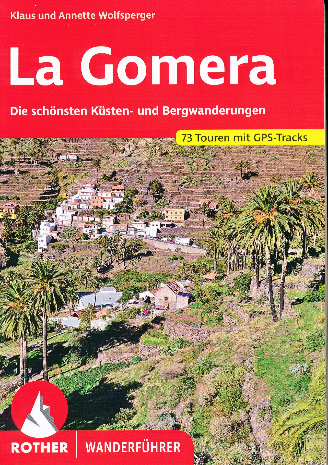
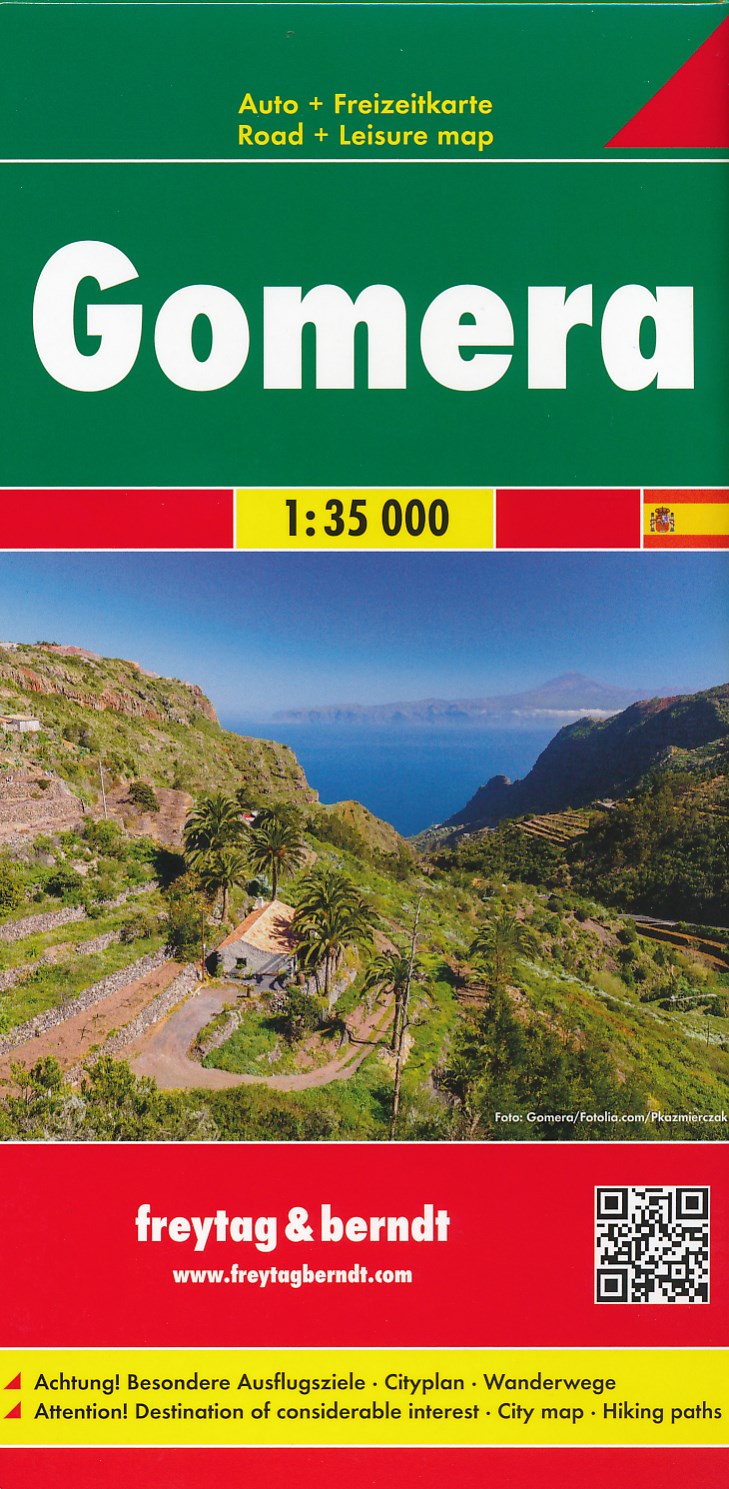
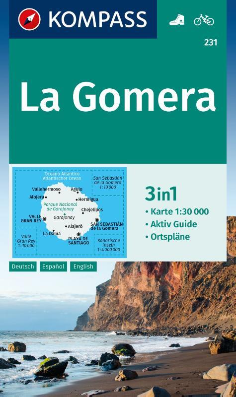
- Wandelkaart - Wegenkaart - landkaart La Gomera | Freytag & Berndt
- Zeer gedetailleerde wegen-wandelkaart van La Gomera. Schaal 1; 35.000. Stadsplattegrond van San Sebastian opgenomen in de kaart. Naast bezienswaardigheden en nationale parken staan er ook wandelroutes op deze kaart afgebeeld. Overigens vinden wij dat de Freytag & Berndt kaarten van de Spaanse en Portugese eilanden iets meer gericht zjin op... Read more
Netherlands
2021
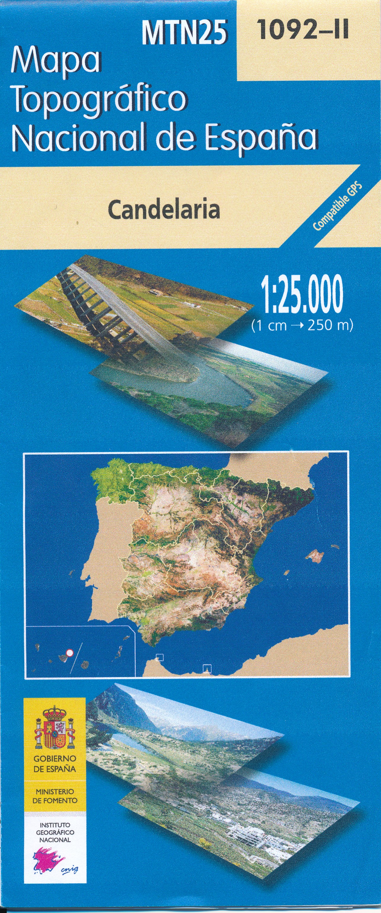
- Topografische kaart 1092-2 Candelaria | CNIG - Instituto Geográfico Nacional
- Topographic coverage of the Canary Islands at 1:25,000 published by the Instituto Geogr Read more
- Also available from:
- Stanfords, United Kingdom

United Kingdom
2021
- Candelaria 25K Tenerife CNIG Topographic Survey Map No. 1092-II
- Topographic coverage of the Canary Islands at 1:25,000 published by the Instituto Geográfico Nacional – Centro Nacional de Información Geografica, the country’s civilian survey organization. The maps have contours at 10m intervals and colouring and/or graphics to show different types of vegetation or land use. Boundaries of national parks and... Read more
Netherlands
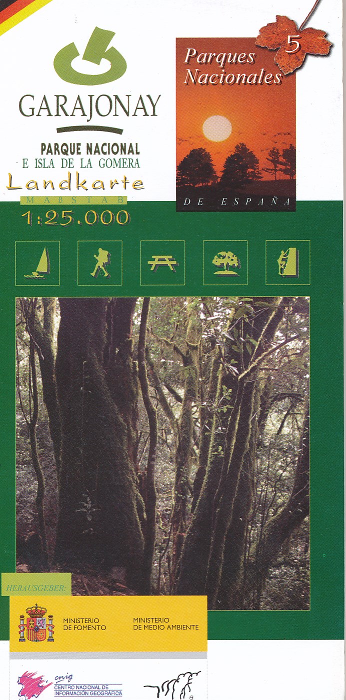
- Wandelkaart 5 Parques Nacionales Garajonay Parque Nacional e isla de la Gomera | CNIG - Instituto Geográfico Nacional
- Gedetailleerde wandelkaart 1:25.000. Met ingetekende wandelroutes, hutten en andere overnachtingsmogelijkheden, restaurants en bezienswaardigheden. Met begeleidend boekje met beschrijvingen van 13 wandelingen in het Duits Read more
Netherlands
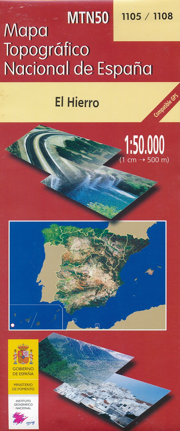
- Wandelkaart - Topografische kaart 1105/1108 El Hierro - Ferro | CNIG - Instituto Geográfico Nacional
- Hierro, map No. 1105/1108 in the topographic coverage of the Canary Islands at 1:50,000 from the Instituto Geogr Read more
- Also available from:
- Stanfords, United Kingdom

United Kingdom
- Hierro CNIG Topo 1105-1108
- Hierro, map No. 1105/1108 in the topographic coverage of the Canary Islands at 1:50,000 from the Instituto Geográfico Nacional - Centro Nacional de Información Geograficá, Spain’s civilian survey organization. Maps in the MTN50 (Mapa Topográfico Nacional) series begun in late 1990s have contours at 20m intervals enhanced by relief shading, plus... Read more
- Also available from:
- Stanfords, United Kingdom

United Kingdom
2020
- Fuerteventura Kompass 240
- Fuerteventura ar 1:50,000 in a series of maps of the Canary Islands from Kompass, Europe’s leading publisher of detailed, contoured hiking maps. Excellent also for exploring each island on bike or by car, the maps highlight numerous hiking trails, indicating difficult sections, and show cycle routes. A wide range of symbols highlight various... Read more
Netherlands
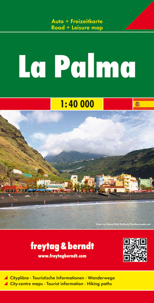
- Wandelkaart - Wegenkaart - landkaart La Palma | Freytag & Berndt
- Goede overzichtskaart van La Palma. Juist deze kaart is bij uitstek geschikt voor vele doeleinden. Zowel voor de auto als voor de aktieve vakantieganger goed. Overigens vinden wij dat de Freytag & Berndt kaarten van de Spaanse en Portugese eilanden iets meer gericht zjin op algemeen toerisme en iets minder op wandelen; voor wandelen raden we... Read more
Netherlands
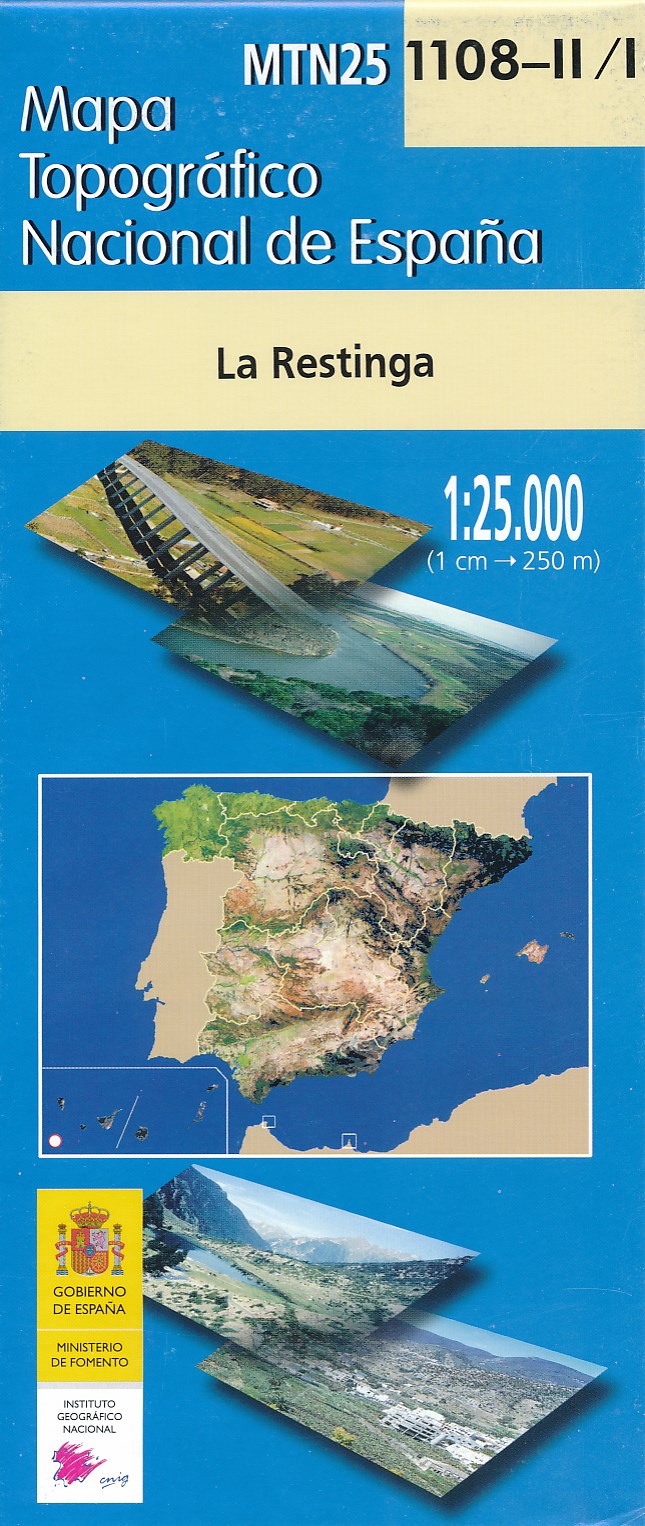
- Wandelkaart - Topografische kaart 1108-II/I La Restinga (El Hierro) | CNIG - Instituto Geográfico Nacional
- Topographic coverage of the Canary Islands at 1:25,000 published by the Instituto Geogr Read more
- Also available from:
- Stanfords, United Kingdom
United Kingdom
- La Restinga 25K Hierro CNIG Topographic Survey Map No. 1108-I/II
- Topographic coverage of the Canary Islands at 1:25,000 published by the Instituto Geográfico Nacional – Centro Nacional de Información Geografica, the country’s civilian survey organization. The maps have contours at 10m intervals and colouring and/or graphics to show different types of vegetation or land use. Boundaries of national parks and... Read more

Netherlands
2015
- Wegenkaart - landkaart Spanje | Borch
- Espana (Spanien) 1 : 1 875 000 ab 9.9 EURO Espana del Oeste, Espana del Este, Islas Canarias Borch Map. 9. Auflage Read more
Netherlands
2022
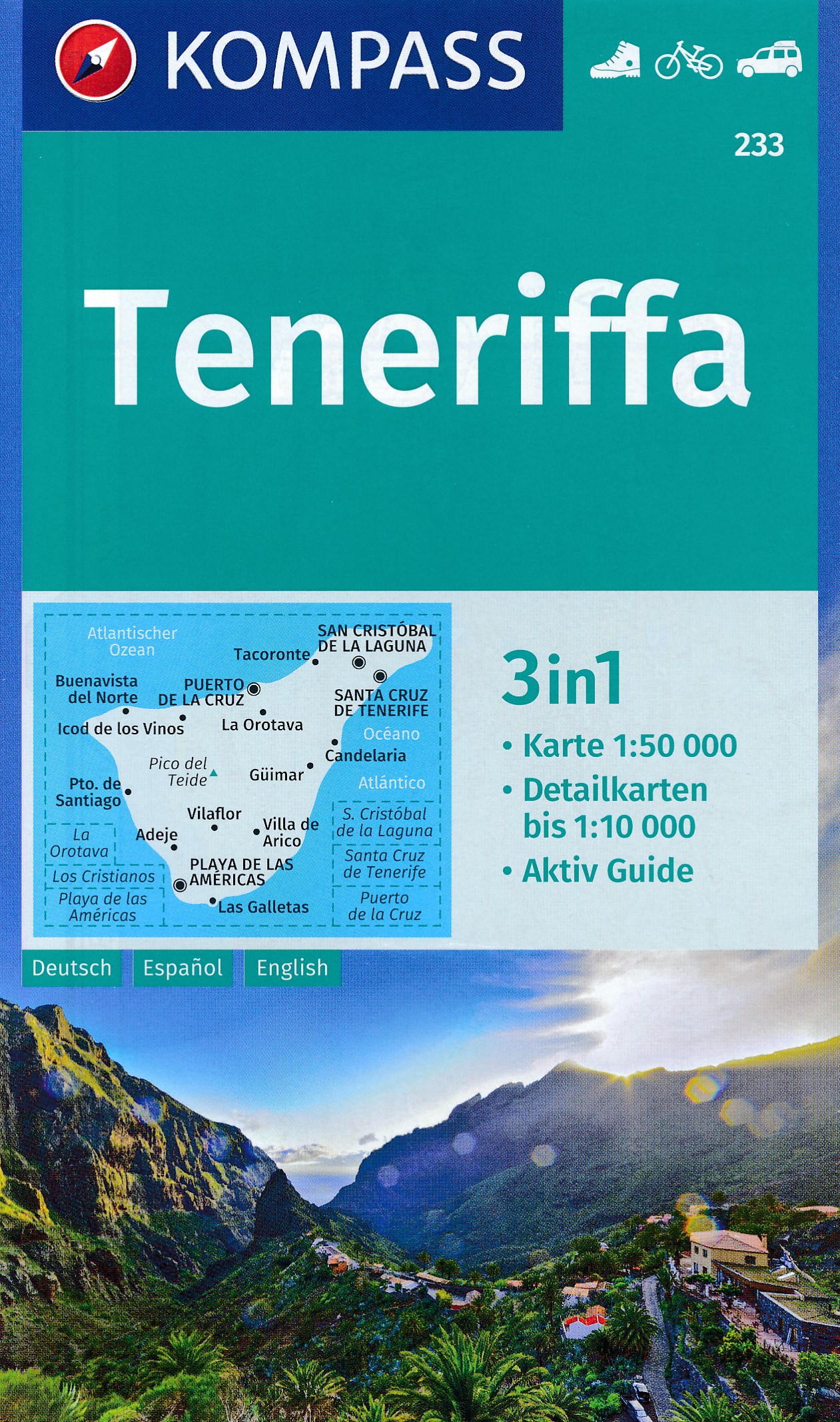
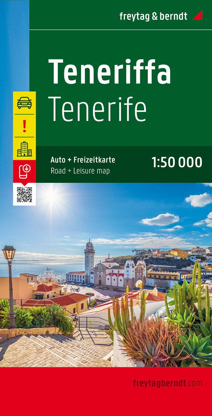
- Wandelkaart - Wegenkaart - landkaart Tenerife | Freytag & Berndt
- Tenerife at 1:50,000 on a clear, large, double-sided, GPS compatible road map from Freytag & Berndt with hiking trails, plus street plans of Santa Cruz de Tenerife, Los Christianos, Playa de las Am Read more
- Also available from:
- Stanfords, United Kingdom

United Kingdom
2022
- Tenerife F&B
- Tenerife at 1:50,000 on a clear, large, double-sided, GPS compatible road map from Freytag & Berndt with hiking trails, plus street plans of Santa Cruz de Tenerife, Los Christianos, Playa de las Américas and Puerto de la Cruz.The map divides the island east/west with a good overlap between the sides and has contours with relief shading, spot... Read more
Netherlands
Netherlands
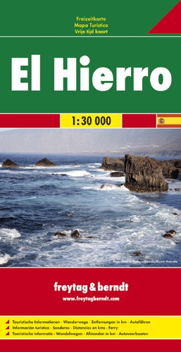
- Wandelkaart - Wegenkaart - landkaart El Hierro | Freytag & Berndt
- Freytag & Berndt kaarten op schaal 1:50.000 (of kleiner) zijn zeer overzichtelijk, wandelpaden werden erop ingekleurd, ze bevatten voldoende details om een wandeltocht in te schatten. Overigens vinden wij dat de Freytag & Berndt kaarten van de Spaanse en Portugese eilanden iets meer gericht zjin op algemeen toerisme en iets minder op wandelen;... Read more