
La Gomera, Canarias
Beschrijving
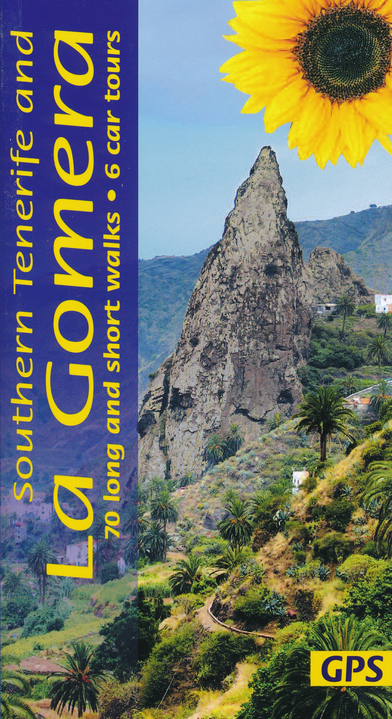
 La Gomera is one of the most popular hiking destinations of the Canary Islands. It is the second smallest of the seven Canary Islands, and relatively green and lush. The Garajonay nature park conserves the fine wet laurel rain forests, almost permanently shrouded in clouds. The mountain with the same name Garajonay, 1487 m, can be climbed easily. Due to the trade winds, the north coast is much wetter than the south coast. Erosion of the volcanic soil has produced steep ravines called barrancos.
Due to the rugged nature of the terrain hiking is not easy, but on the other hand an abundance of paths have been marked, offering the hiker a varied menu. These trails include the two GR's on the island, GR131 and GR132. The first one ventures into the forested centre of the island. The second one describes a circle. Several local routes explore the rain forests and the barrancas.
Guidebooks exist to help you choose the best trails. Getting there is possible via big brother Tenerife, by a connecting flight or boat.
Check the complete list of Canary Islands.
Kaart

Paden in deze regio
Links
Feiten
Verslagen
Gidsen en kaarten
Overnachting
Organisaties
Reisorganisaties
GPS
Anders
Boeken
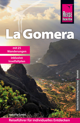
Netherlands
2024
Netherlands
2022

Netherlands
2018
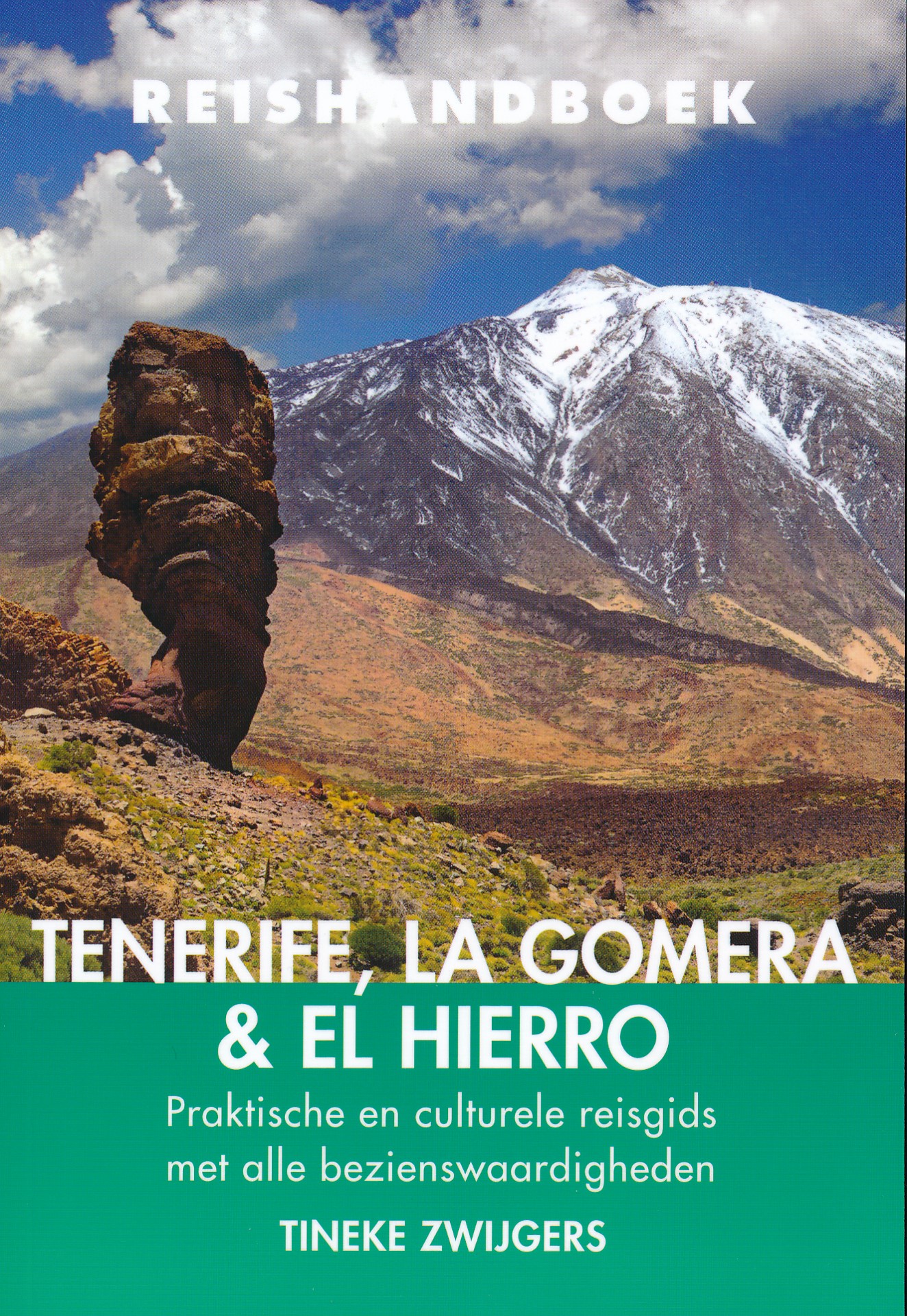
- Reisgids Reishandboek Tenerife, La Gomera, El Hierro | Uitgeverij Elmar
- Praktische en culturele reisgids met alle bezienswaardigheden * Veel achtergrondinformatie * Praktische informatie: onder andere accommodatie, vervoer, gezondheid, geldzaken etc. * Alle bezienswaardigheden * Kaarten en plattegronden in kleur Ruige bergen en mistige oerbossen. Kleurrijke koloniale steden. Natuurlijk gevormde zeebaden. En de geur... Read more

Netherlands
2023
Netherlands
2015
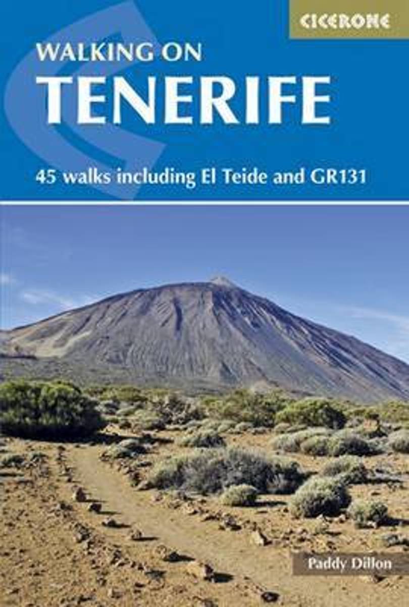
- Walking on Tenerife
- The latest in Paddy Dillon's series of guides to the Canary Islands, this guide covers all the best walking to be had on this hugely popular island, including routes along the GR131. With distance and difficulty ranging from short and easy to long and arduous there is suitable challenge for walkers of all abilities here, on 45 routes that... Read more
- Also available from:
- Bol.com, Belgium
Belgium
2015
- Walking on Tenerife
- The latest in Paddy Dillon's series of guides to the Canary Islands, this guide covers all the best walking to be had on this hugely popular island, including routes along the GR131. With distance and difficulty ranging from short and easy to long and arduous there is suitable challenge for walkers of all abilities here, on 45 routes that... Read more
Netherlands
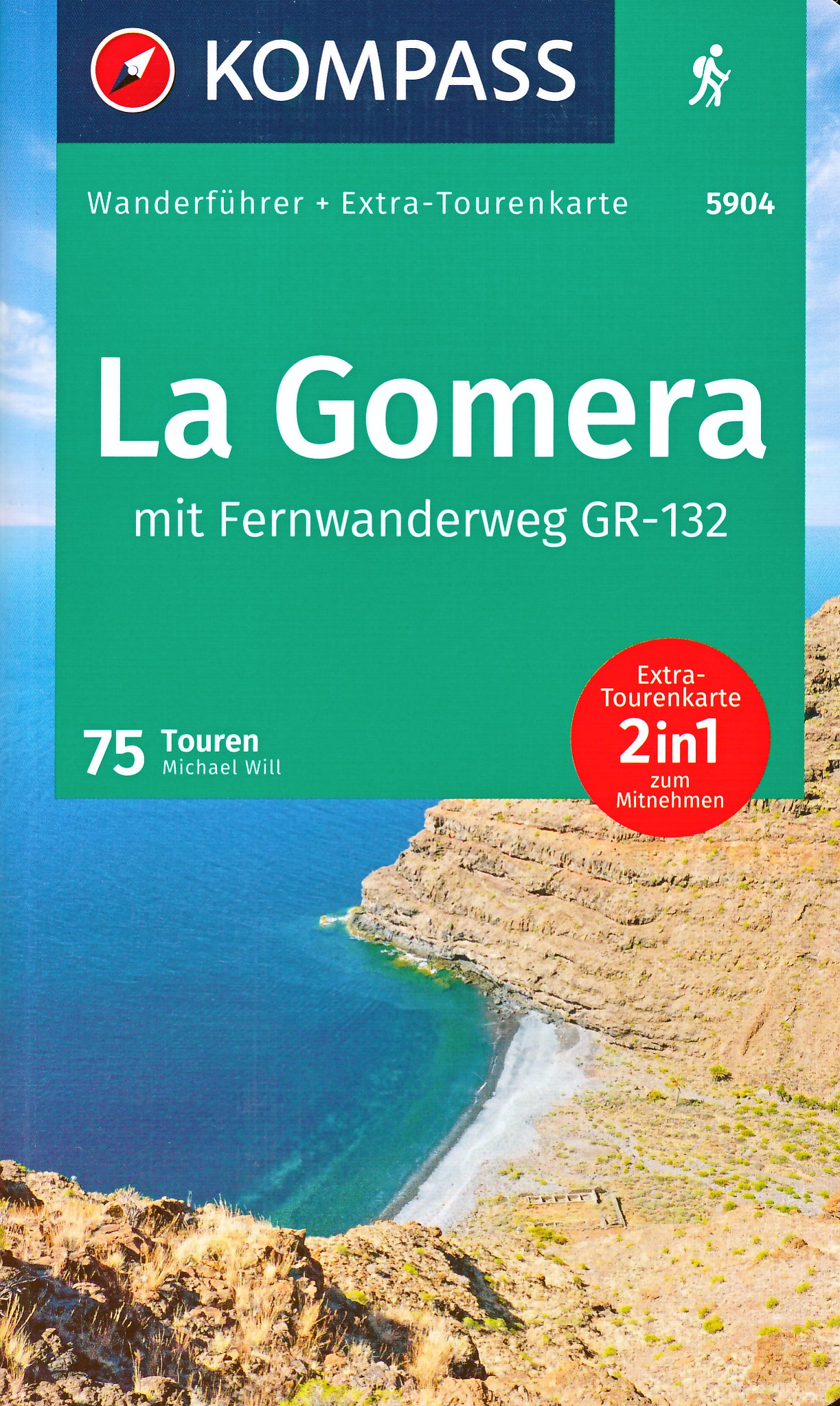
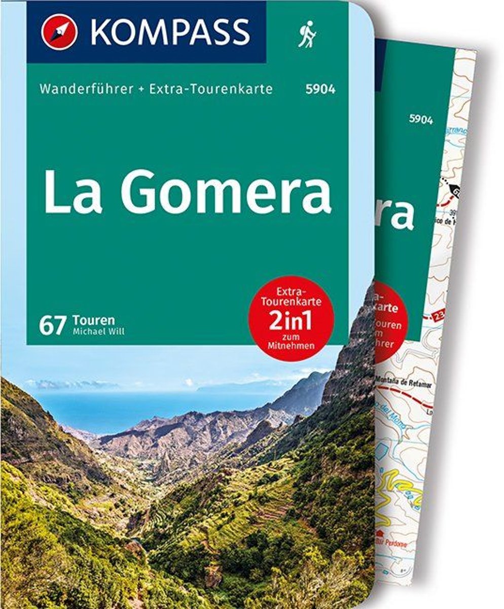
- WF5904 La Gomera mit Karte Kompass
- De Kompass wandelgids + kaart geeft een overzicht van alle wandelroutes in het gebied met nauwkeurige routeaanwijzingen en hoogteaanduidingen, De extra grote kaart, schaal 1:35 000, is ideaal om van te voren uw route uit te stippelen en om onderweg te gebruiken; naast de bekende bestemmingen, worden ook de minder bekende vermeld; openbaar... Read more
- Also available from:
- Bol.com, Belgium
Belgium
- WF5904 La Gomera mit Karte Kompass
- De Kompass wandelgids + kaart geeft een overzicht van alle wandelroutes in het gebied met nauwkeurige routeaanwijzingen en hoogteaanduidingen, De extra grote kaart, schaal 1:35 000, is ideaal om van te voren uw route uit te stippelen en om onderweg te gebruiken; naast de bekende bestemmingen, worden ook de minder bekende vermeld; openbaar... Read more
Netherlands
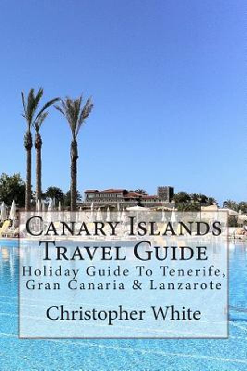
- Canary Islands Travel Guide
- The Canary Islands (Spanish: Islas Canarias) are an Atlantic territory of Spain on the west coast of Africa, near to Morocco, Cape Verde and the archipelagos of the Azores Islands and Madeira Islands.Gran Canaria The largest island by population, its capital city (Las Palmas de Gran Canaria) has the shared title of capital of the Canaries.... Read more
- Also available from:
- Bol.com, Belgium
Belgium
- Canary Islands Travel Guide
- The Canary Islands (Spanish: Islas Canarias) are an Atlantic territory of Spain on the west coast of Africa, near to Morocco, Cape Verde and the archipelagos of the Azores Islands and Madeira Islands.Gran Canaria The largest island by population, its capital city (Las Palmas de Gran Canaria) has the shared title of capital of the Canaries.... Read more
Netherlands
- Wandelkaart - Pelgrimsroute (kaart) - Wegenkaart - landkaart Via Slavorum I26 Gesamtplan Steiermark | Freytag & Berndt
- Dit is een overzichtskaart van de wandelkaart en/of pelgrimskaart voor de Via Slavorum, de internationale pelgrimsweg I26 die dwars door Midden-en Zuid-Europa voert: Van Krakau in Polen - Brno / Brünn in Tsjechië - Wenen, Mariazell, Graz, Klagefurt in Oostenrijk (Neder-Oostenrijk, Steiermark en Karinthie) - door het Save en Isonzodal in... Read more
- Also available from:
- Bol.com, Netherlands
- Bol.com, Belgium
Netherlands
- FB GPVS Via Slavorum
- Dubbelzijdige wandel- en vrijetijdskaart toeristische tips stadsplattegronden overzichtskaart van de pelgrimsroute Via Slavorum, de internationale pelgrimsweg I26 die dwars door Midden- en Zuid-Europa voert GPS-punten Read more
Belgium
- FB GPVS Via Slavorum
- Dubbelzijdige wandel- en vrijetijdskaart toeristische tips stadsplattegronden overzichtskaart van de pelgrimsroute Via Slavorum, de internationale pelgrimsweg I26 die dwars door Midden- en Zuid-Europa voert GPS-punten Read more
Kaarten

- Also available from:
- Stanfords, United Kingdom

United Kingdom
- Lanzarote Kompass 241
- Lanzarote at 1:50,000 on a contoured and GPS compatible map from Kompass, with extensive tourist overprint, plus street plans of Arrecife, Puerto del Carmen and Teguise. Coverage includes the nearby islands of Graciosa, Montaña Clara and Alwegranza.Topography is vividly presented by contours at 50m intervals, enhanced by relief shading plus... Read more
Netherlands
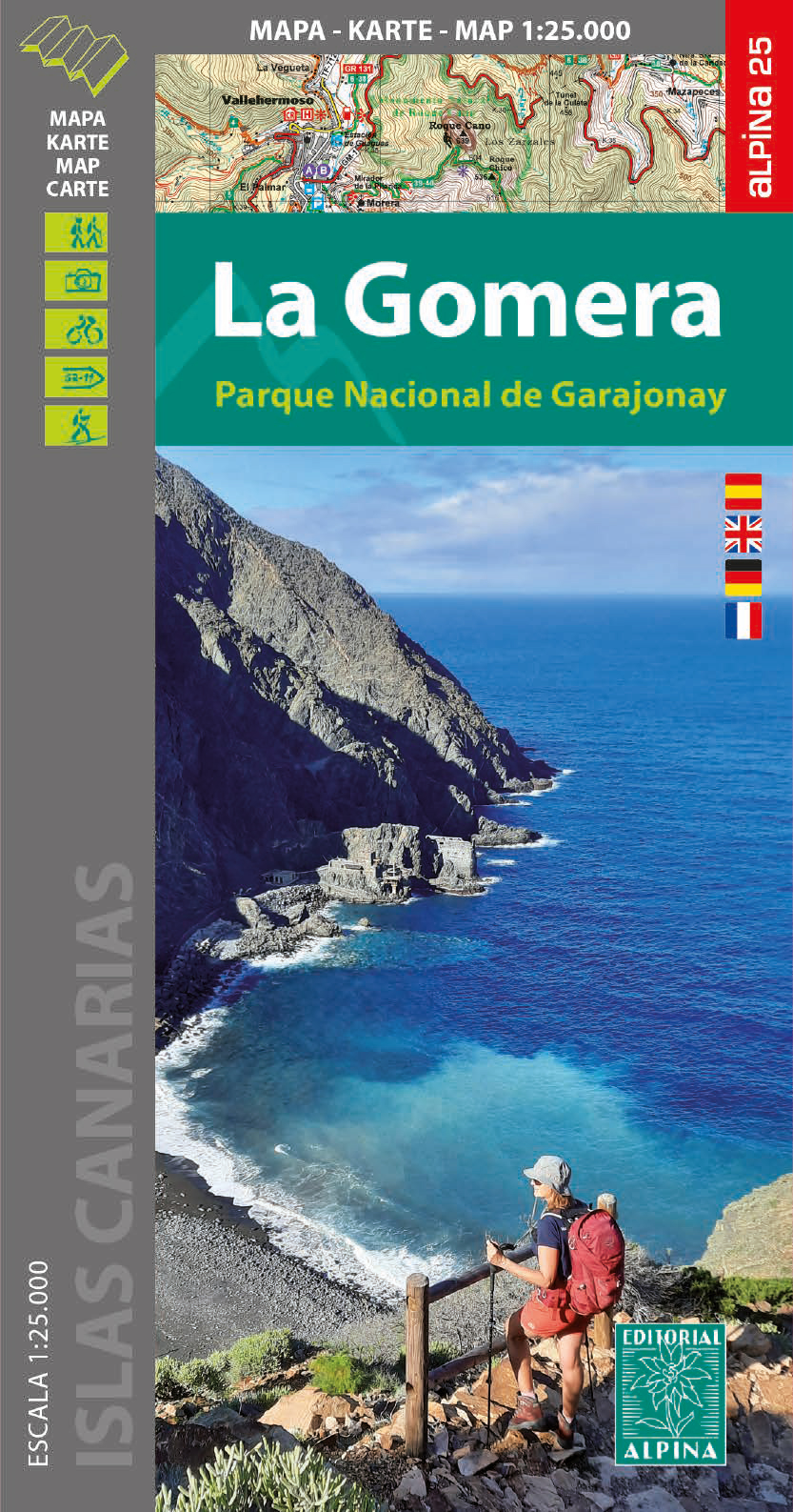
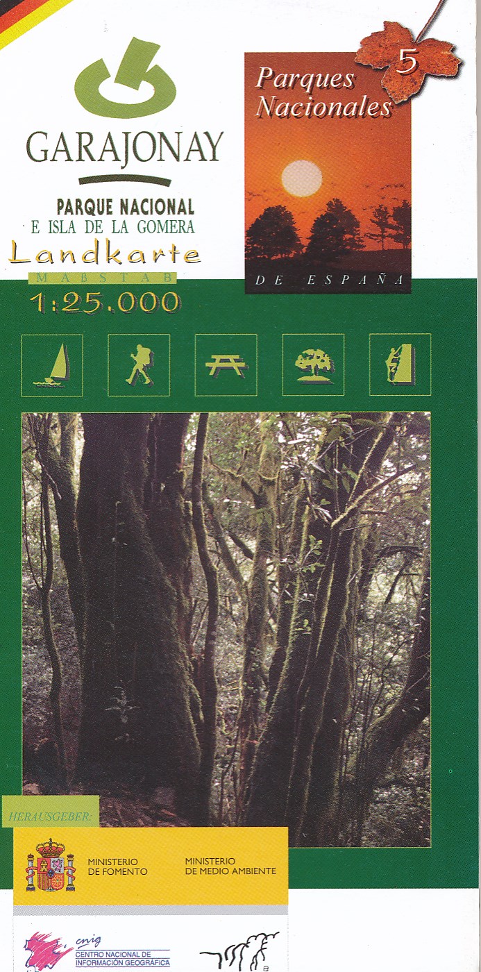
- Wandelkaart 5 Parques Nacionales Garajonay Parque Nacional e isla de la Gomera | CNIG - Instituto Geográfico Nacional
- Gedetailleerde wandelkaart 1:25.000. Met ingetekende wandelroutes, hutten en andere overnachtingsmogelijkheden, restaurants en bezienswaardigheden. Met begeleidend boekje met beschrijvingen van 13 wandelingen in het Duits Read more
Netherlands
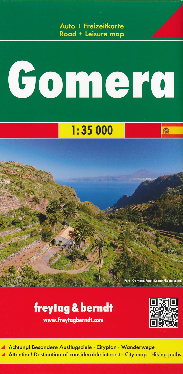
- Wandelkaart - Wegenkaart - landkaart La Gomera | Freytag & Berndt
- Zeer gedetailleerde wegen-wandelkaart van La Gomera. Schaal 1; 35.000. Stadsplattegrond van San Sebastian opgenomen in de kaart. Naast bezienswaardigheden en nationale parken staan er ook wandelroutes op deze kaart afgebeeld. Overigens vinden wij dat de Freytag & Berndt kaarten van de Spaanse en Portugese eilanden iets meer gericht zjin op... Read more

Netherlands
2015
- Wegenkaart - landkaart Spanje | Borch
- Espana (Spanien) 1 : 1 875 000 ab 9.9 EURO Espana del Oeste, Espana del Este, Islas Canarias Borch Map. 9. Auflage Read more

Netherlands
- Kanaren/DVD-ROM
- Deze digitale wandel-, fiets- en skiroute kaarten van Kompass op CD of DVD zijn bruikbaar met GPS • je kunt inzoomen op de kaart tot een schaal van 1: 10 000 • prima manier om je eigen route te plannen, met hoogteprofielen • zeer eenvoudig om de gekozen route te printen of te downloaden op mobiele telefoon of PDA • vlieg vogelvlucht over een... Read more
- Also available from:
- Bol.com, Belgium
Belgium
- Kanaren/DVD-ROM
- Deze digitale wandel-, fiets- en skiroute kaarten van Kompass op CD of DVD zijn bruikbaar met GPS • je kunt inzoomen op de kaart tot een schaal van 1: 10 000 • prima manier om je eigen route te plannen, met hoogteprofielen • zeer eenvoudig om de gekozen route te printen of te downloaden op mobiele telefoon of PDA • vlieg vogelvlucht over een... Read more
Netherlands
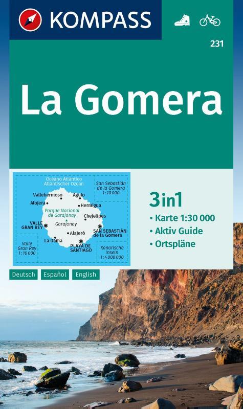
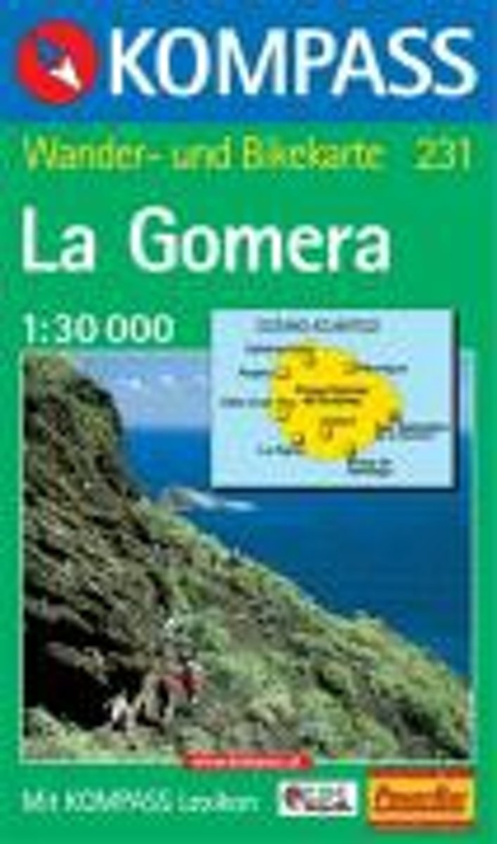
- Gomera WK231
- Toeristische kaart voor wandelen, fietsen en vrije tijd met activiteitengids en stadsplattegronden • goed leesbare schaal van 1:30 000 • te gebruiken met GPS • met praktische informatie over de regio • wandel- en fietspaden • aanbevolen routes • kastelen • uitzichtpunten • stranden en baaien • toeristische informatie • veel topografische... Read more
- Also available from:
- Bol.com, Belgium
Belgium
- Gomera WK231
- Toeristische kaart voor wandelen, fietsen en vrije tijd met activiteitengids en stadsplattegronden • goed leesbare schaal van 1:30 000 • te gebruiken met GPS • met praktische informatie over de regio • wandel- en fietspaden • aanbevolen routes • kastelen • uitzichtpunten • stranden en baaien • toeristische informatie • veel topografische... Read more

Netherlands
- Lanzarote WK241
- Toeristische kaart voor wandelen, fietsen en vrije tijd met activiteitengids en stadsplattegronden • goed leesbare schaal van 1:50 000 • te gebruiken met GPS • met praktische informatie over de regio • wandel- en fietspaden • aanbevolen routes • kastelen • uitzichtpunten • stranden en baaien • toeristische informatie • veel topografische... Read more
- Also available from:
- Bol.com, Belgium
Belgium
- Lanzarote WK241
- Toeristische kaart voor wandelen, fietsen en vrije tijd met activiteitengids en stadsplattegronden • goed leesbare schaal van 1:50 000 • te gebruiken met GPS • met praktische informatie over de regio • wandel- en fietspaden • aanbevolen routes • kastelen • uitzichtpunten • stranden en baaien • toeristische informatie • veel topografische... Read more

Netherlands
- Tenerife Hikers Maps
- Our latest hiking research on Tenerife has resulted in new editions of Walk! Tenerife and Tenerife Hikers' Super-Durable Maps being published in 2017. Thanks to Jan Kostura's 2016 research we have several new hiking adventures described in detail in Walk! Tenerife. Jan's gps records of his research for new routes and updating of current routes... Read more
- Also available from:
- Bol.com, Belgium
Belgium
- Tenerife Hikers Maps
- Our latest hiking research on Tenerife has resulted in new editions of Walk! Tenerife and Tenerife Hikers' Super-Durable Maps being published in 2017. Thanks to Jan Kostura's 2016 research we have several new hiking adventures described in detail in Walk! Tenerife. Jan's gps records of his research for new routes and updating of current routes... Read more

United Kingdom
- Agulo 25K La Gomera CNIG Topographic Survey Map No. 1095-I/II
- Topographic coverage of the Canary Islands at 1:25,000 published by the Instituto Geográfico Nacional – Centro Nacional de Información Geografica, the country’s civilian survey organization. The maps have contours at 10m intervals and colouring and/or graphics to show different types of vegetation or land use. Boundaries of national parks and... Read more

United Kingdom
- Gomera CNIG Topo 1095-1101
- La Gomera, map No. 1095/1101 in the topographic coverage of the Canary Islands at 1:50,000 from the Instituto Geográfico Nacional - Centro Nacional de Información Geograficá, Spain’s civilian survey organization. Maps in the MTN50 (Mapa Topográfico Nacional) series begun in late 1990s have contours at 20m intervals enhanced by relief shading,... Read more
United Kingdom
- Vallehermoso 25K La Gomera CNIG Topographic Survey Map No. 1095-III
- Topographic coverage of the Canary Islands at 1:25,000 published by the Instituto Geográfico Nacional – Centro Nacional de Información Geografica, the country’s civilian survey organization. The maps have contours at 10m intervals and colouring and/or graphics to show different types of vegetation or land use. Boundaries of national parks and... Read more
United Kingdom
- Hermigua 25K La Gomera CNIG Topographic Survey Map No. 1095-IV
- Topographic coverage of the Canary Islands at 1:25,000 published by the Instituto Geográfico Nacional – Centro Nacional de Información Geografica, the country’s civilian survey organization. The maps have contours at 10m intervals and colouring and/or graphics to show different types of vegetation or land use. Boundaries of national parks and... Read more
United Kingdom
- Valle Gran Rey 25K La Gomera CNIG Topographic Survey Map No. 1101-I
- Topographic coverage of the Canary Islands at 1:25,000 published by the Instituto Geográfico Nacional – Centro Nacional de Información Geografica, the country’s civilian survey organization. The maps have contours at 10m intervals and colouring and/or graphics to show different types of vegetation or land use. Boundaries of national parks and... Read more