
Småland
Beschrijving
Paden in deze landsdeel
- AnebyledenGPX
- DackeledenGPX
- E1GPX
- E6GPX
- GislavedsledenGPX
- GlasbruksledenGPX
- HöglandsledenGPX
- HögsbyledenGPX
- HolavedsledenGPX
- JärnbärarledenGPX
- John BauerledenGPX
- KalmarsundsledenGPX
- LönnebergaledenGPX
- MönsteråsledenGPX
- Njudungsleden
- OstkustledenGPX
- Sävsjöleden
- Södra VätterledenGPX
- SevedeledenGPX
- SigfridsledenGPX
- StorspåretGPX
- TjustledenGPX
- TorsåsledenGPX
- UtvandrarledenGPX
- Vildmarksleden SmålandGPX
Links
Feiten
Verslagen
Gidsen en kaarten
Overnachting
Organisaties
Reisorganisaties
GPS
Anders
Boeken

De Zwerver
Netherlands
2017
Netherlands
2017
- Wandelgids 411 Kautokeino - Nordkap E1 | Conrad Stein Verlag
- Handzaam boekje met de routebeschrijving inclusief een heleboel praktische informatie. De beschrijving is uitstekend, maar kaarten zijn wat beperkt. Duits. Die 330 km lange Wanderung auf dem E1 von Kautokeino zum Nordkap ist ein unvergessliches Wanderabenteuer. In 15 Etappen laufen Sie durch die Wildnis Nordnorwegens und überqueren die... Read more

De Zwerver
Netherlands
2017
Netherlands
2017
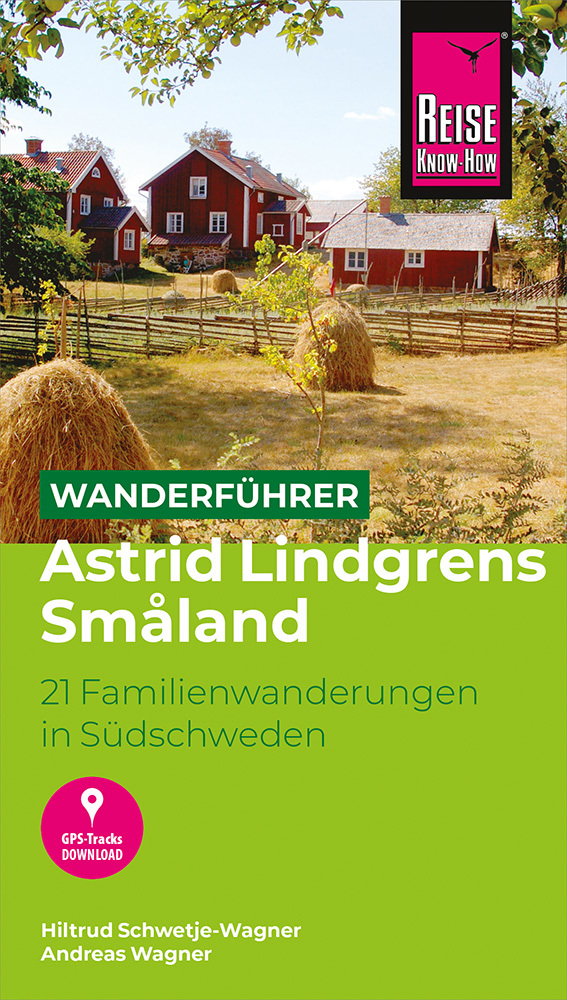
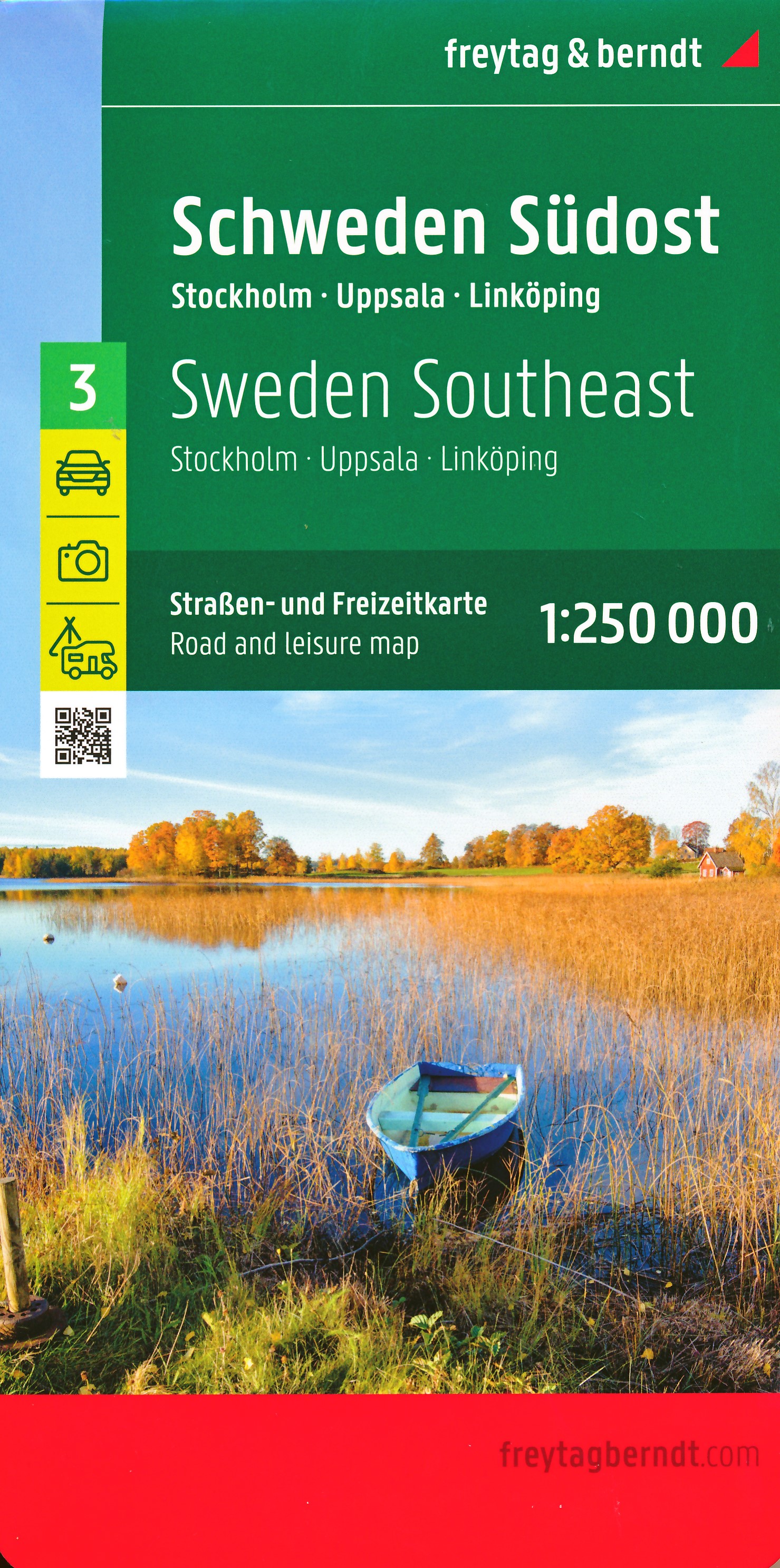
- Reisgids Zweden - Småland, Öland, Blekinge | Edition Elch
- Diepgaande reisgids over dit specifieke deel van Zweden. Zowel cultureel als praktische informatie. Wer Schweden auf kurzen Wegen entdecken und nicht jeden Tag viele Stunden hinter dem Lenkrad verbringen will oder kann, all denen sei der Südosten des Landes empfohlen – nicht ganz so einsam wie der Norden, dafür vielfältiger in seinen Reizen.... Read more

De Zwerver
Netherlands
2022
Netherlands
2022


Stanfords
United Kingdom
United Kingdom
- Istria Kompass 238
- Istria at 1:75,000 on a double-sided, waterproof and tear-resistant, detailed contoured map from Kompass, with hiking and cycling routes, street plans of 10 main towns, plus tourist information. Coverage extends north beyond the Croatian border to include Trieste and the coast of Slovenia. Contours at 50m intervals and spot heights present the... Read more
Kaarten
De Zwerver
Netherlands
2015
Netherlands
2015
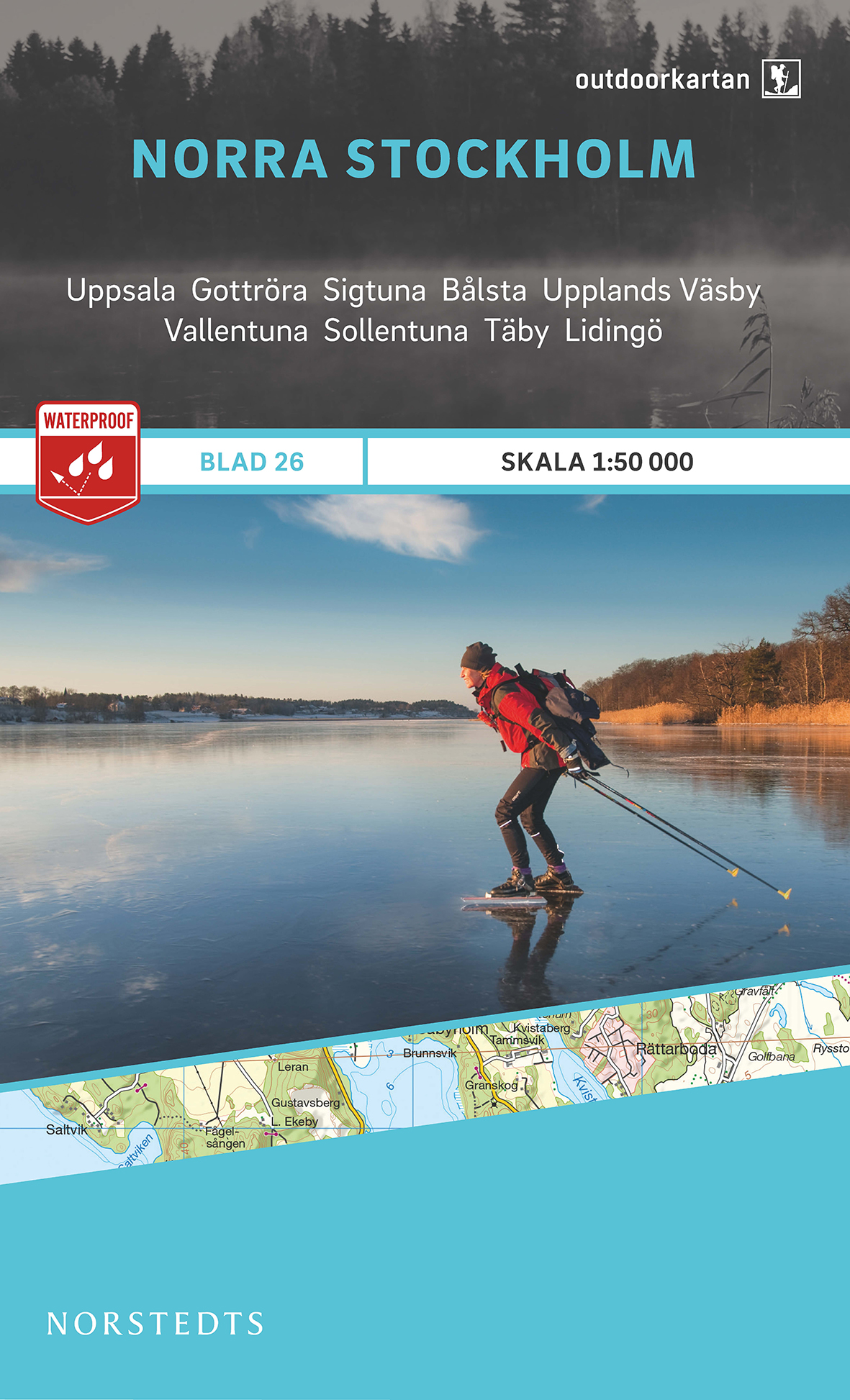
- Wandelkaart 26 Outdoorkartan Norra Stockholm | Norstedts
- This map of North Stockholm in 1:50,000 is part of a series of topographic maps from Norstedts Kartforlaget which includes 28 outdoor maps covering the mountain areas and popular recreation areas in southern Sweden. The maps in this series have a new look and are printed on a durable and water resistant paper. Cartography, material and printing... Read more
- Also available from:
- Stanfords, United Kingdom

Stanfords
United Kingdom
2015
United Kingdom
2015
- North Stockholm
- This map of North Stockholm in 1:50,000 is part of a series of topographic maps from Norstedts Kartforlaget which includes 28 outdoor maps covering the mountain areas and popular recreation areas in southern Sweden. The maps in this series have a new look and are printed on a durable and water resistant paper. Cartography, material and printing... Read more
De Zwerver
Netherlands
Netherlands
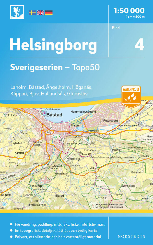
- Wandelkaart - Topografische kaart 04 Sverigeserien Helsingborg | Norstedts
- Sverigeserien is an outdoor map series consisting of 116 sheets with coverage of southern and central Sweden and the northern coastline. The map is suitable for outdoor activities such as hiking, excursions, trail running, hunting, fishing, riding, cycling, mountain biking, paddling, skating and much more. Every sheet covers an area of... Read more
De Zwerver
Netherlands
Netherlands
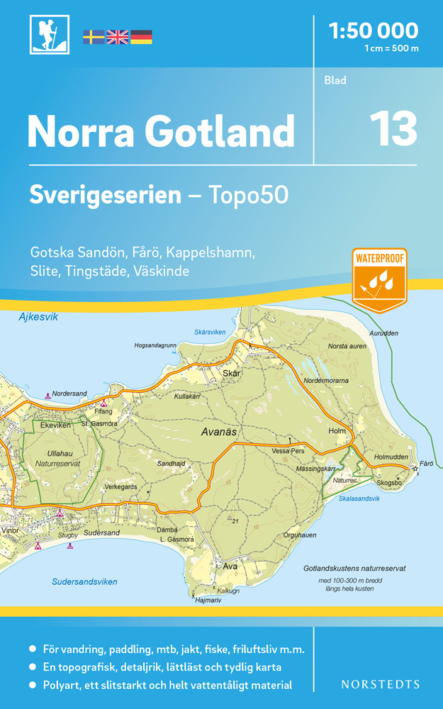
- Wandelkaart - Topografische kaart 13 Sverigeserien Norra Gotland noord | Norstedts
- Sverigeserien is an outdoor map series consisting of 116 sheets with coverage of southern and central Sweden and the northern coastline. The map is suitable for outdoor activities such as hiking, excursions, trail running, hunting, fishing, riding, cycling, mountain biking, paddling, skating and much more. Every sheet covers an area of... Read more
De Zwerver
Netherlands
Netherlands
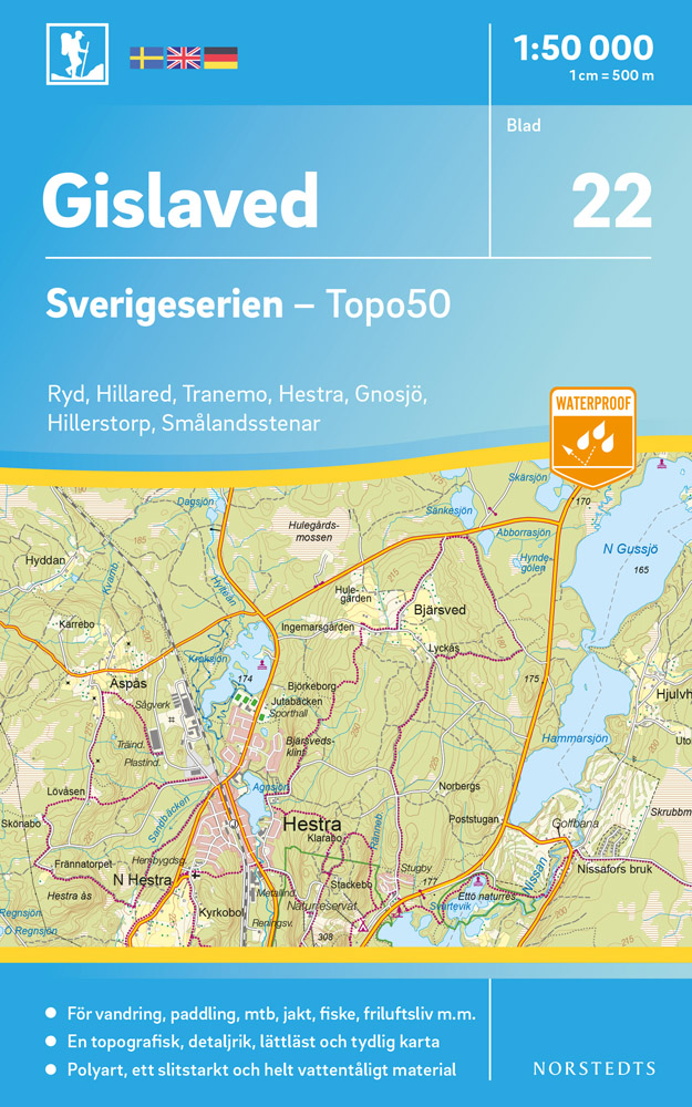
- Wandelkaart - Topografische kaart 22 Sverigeserien Gislaved | Norstedts
- Sverigeserien is an outdoor map series consisting of 116 sheets with coverage of southern and central Sweden and the northern coastline. The map is suitable for outdoor activities such as hiking, excursions, trail running, hunting, fishing, riding, cycling, mountain biking, paddling, skating and much more. Every sheet covers an area of... Read more
De Zwerver
Netherlands
2015
Netherlands
2015
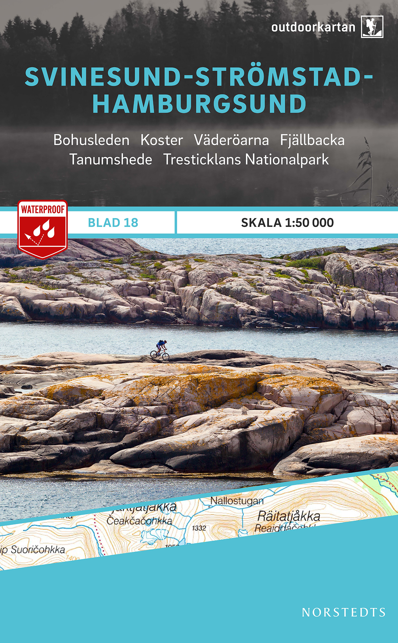
- Wandelkaart 18 Outdoorkartan Svinesund - Strömstad - Hamburgsund | Norstedts
- This map of Svinesund Stromstad Hamburgsund in 1:50,000 is part of a series of topographic maps from Norstedts Kartforlaget which includes 28 outdoor maps covering the mountain areas and popular recreation areas in southern Sweden. The maps in this series have a new look and are printed on a durable and water resistant paper. Cartography,... Read more
- Also available from:
- Stanfords, United Kingdom

Stanfords
United Kingdom
2015
United Kingdom
2015
- Svinesund Stromstad Hamburgsund
- This map of Svinesund Stromstad Hamburgsund in 1:50,000 is part of a series of topographic maps from Norstedts Kartforlaget which includes 28 outdoor maps covering the mountain areas and popular recreation areas in southern Sweden. The maps in this series have a new look and are printed on a durable and water resistant paper. Cartography,... Read more
De Zwerver
Netherlands
Netherlands
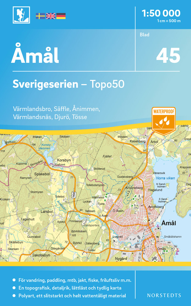
- Wandelkaart - Topografische kaart 45 Sverigeserien Åmål - Amal | Norstedts
- Sverigeserien is an outdoor map series consisting of 116 sheets with coverage of southern and central Sweden and the northern coastline. The map is suitable for outdoor activities such as hiking, excursions, trail running, hunting, fishing, riding, cycling, mountain biking, paddling, skating and much more. Every sheet covers an area of... Read more
De Zwerver
Netherlands
Netherlands
De Zwerver
Netherlands
Netherlands
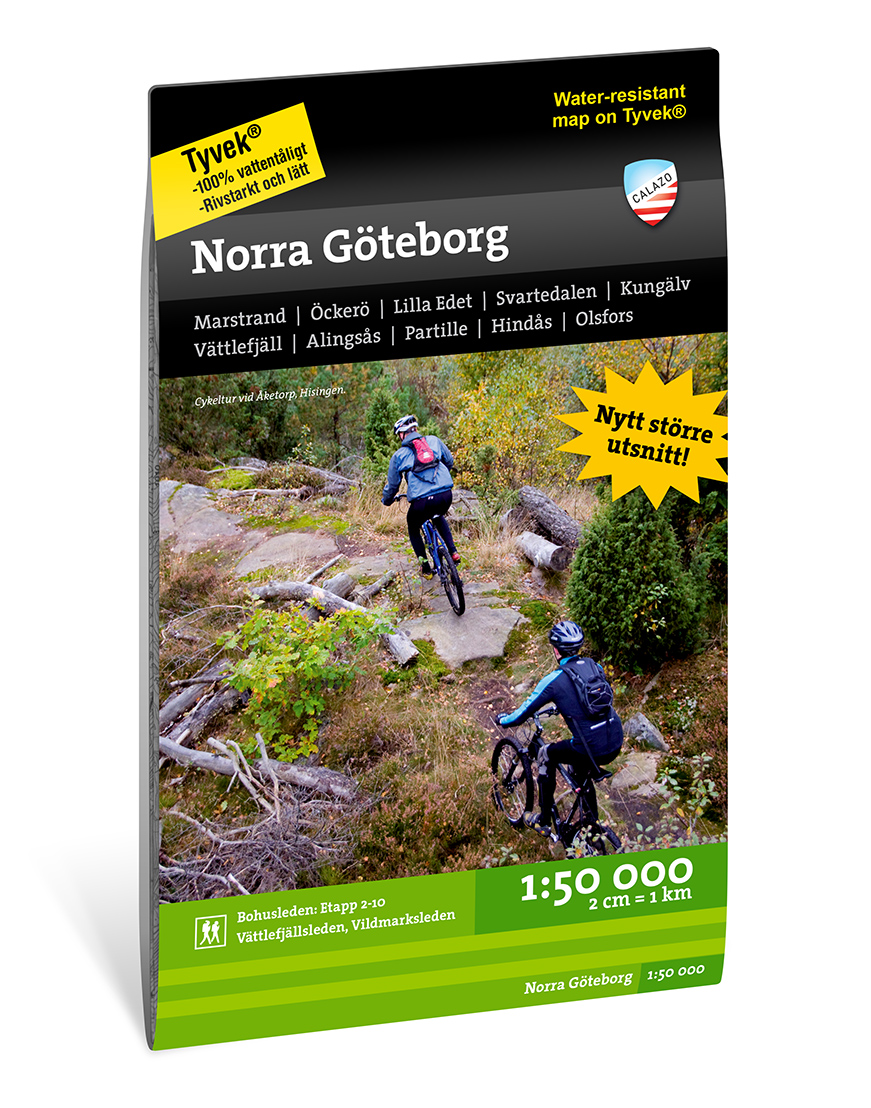
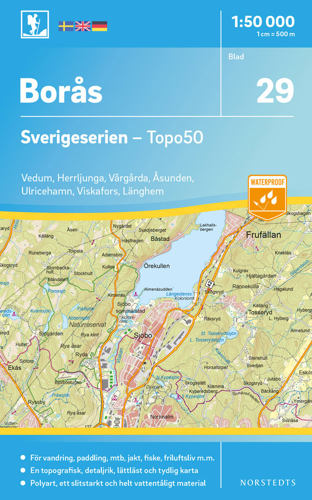
- Wandelkaart - Topografische kaart 29 Sverigeserien Borås - Boras | Norstedts
- Sverigeserien is an outdoor map series consisting of 116 sheets with coverage of southern and central Sweden and the northern coastline. The map is suitable for outdoor activities such as hiking, excursions, trail running, hunting, fishing, riding, cycling, mountain biking, paddling, skating and much more. Every sheet covers an area of... Read more
De Zwerver
Netherlands
Netherlands
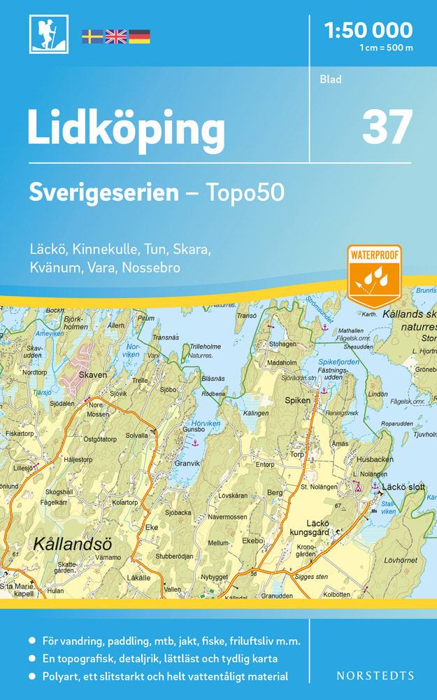
- Wandelkaart - Topografische kaart 37 Sverigeserien Lidköping | Norstedts
- Sverigeserien is an outdoor map series consisting of 116 sheets with coverage of southern and central Sweden and the northern coastline. The map is suitable for outdoor activities such as hiking, excursions, trail running, hunting, fishing, riding, cycling, mountain biking, paddling, skating and much more. Every sheet covers an area of... Read more

De Zwerver
Netherlands
Netherlands
- Wandelkaart 63 Eggegebirge (Nordteil) mit Eggeweg, E1, Jakobspilgerweg | GeoMap
- Topographische Wanderkarte für den nördlichen Teil des Eggegebirges mit Eggeweg, E1, Jakobspilgerweg. 4. Auflage. Read more
De Zwerver
Netherlands
Netherlands
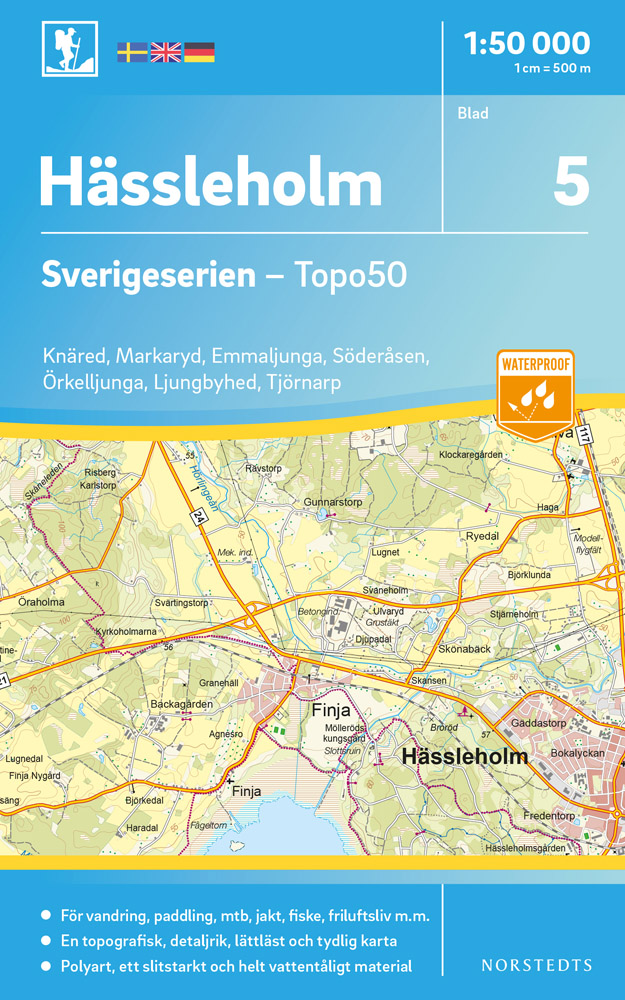
- Wandelkaart - Topografische kaart 05 Sverigeserien Hässleholm | Norstedts
- Sverigeserien is an outdoor map series consisting of 116 sheets with coverage of southern and central Sweden and the northern coastline. The map is suitable for outdoor activities such as hiking, excursions, trail running, hunting, fishing, riding, cycling, mountain biking, paddling, skating and much more. Every sheet covers an area of... Read more