
Munros
Beschrijving
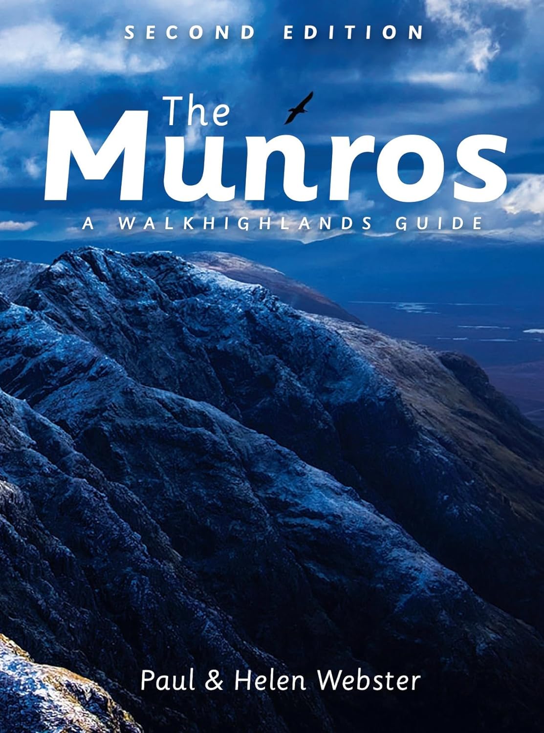
A popular hobby in the UK is "Munro bagging", the climb of as many Munros as possible. A Munro is a mountain in Scotland over 3000 feet, 914 metres, and the first list was compiled by Sir Hugh Munro in 1891. Currently there are some 290 mountains on this list.
Links
Feiten
Verslagen
Gidsen en kaarten
Overnachting
Organisaties
Reisorganisaties
GPS
Anders
Boeken
De Zwerver
Netherlands
2021
Netherlands
2021
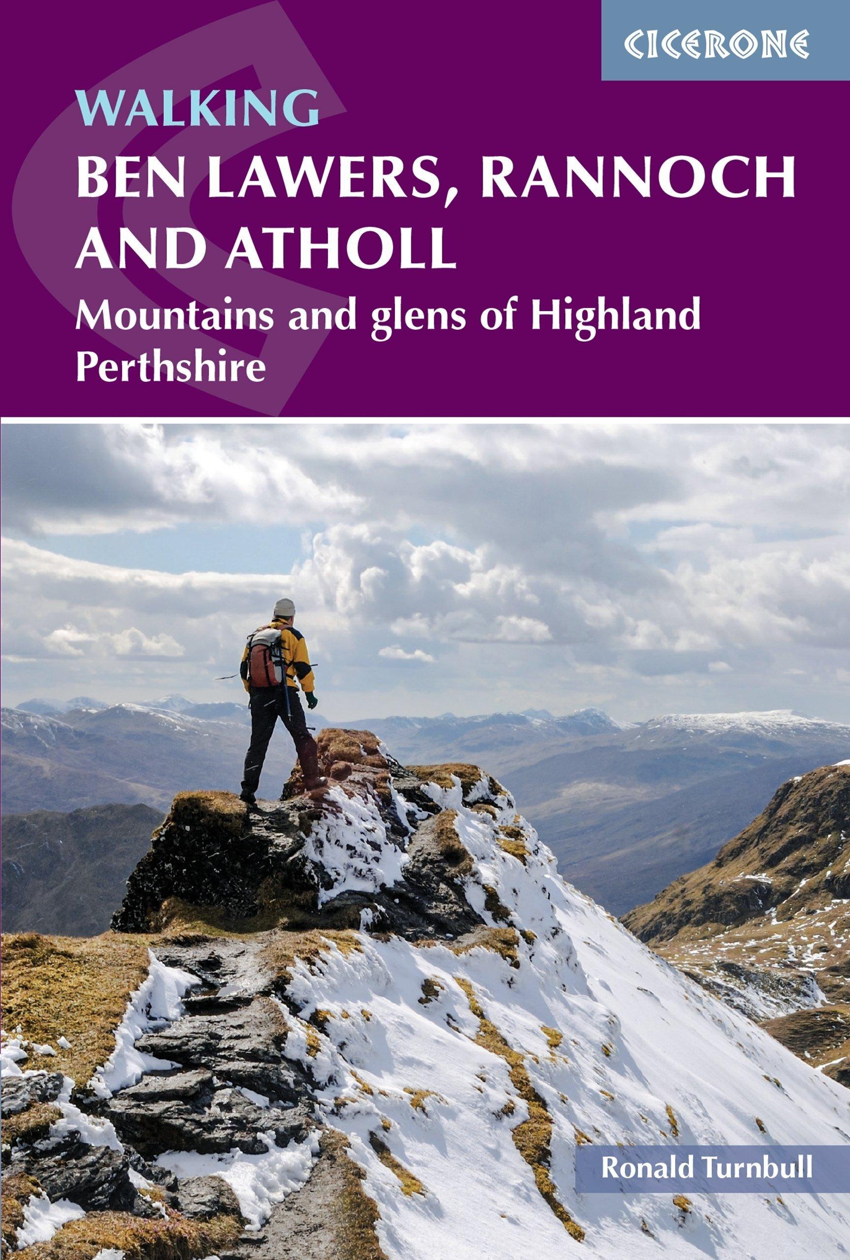
- Wandelgids Walking Ben Lawers, Rannoch and Atholl | Cicerone
- The south-eastern Grampians of the former county of Perthshire may be grassier and less rugged than other Scottish mountains, but they are just as big. The routes in this guide take you to the summits of these `jolly green giants` - covering all of the region`s Munros, often by unconventional routes, as well as several Corbetts and smaller... Read more
- Also available from:
- Stanfords, United Kingdom

Stanfords
United Kingdom
2021
United Kingdom
2021
- Walking Ben Lawers, Rannoch and Atholl: Mountains and Glens of Highland Perthshire
- The south-eastern Grampians of the former county of Perthshire may be grassier and less rugged than other Scottish mountains, but they are just as big. The routes in this guide take you to the summits of these `jolly green giants` - covering all of the region`s Munros, often by unconventional routes, as well as several Corbetts and smaller... Read more
De Zwerver
Netherlands
2003
Netherlands
2003
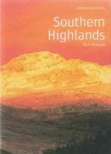
- Wandelgids Southern Highlands | Pocket Mountains
- Mooi uitgevoerde wandelgids in een handzaam formaat: 15 x 10 cm. De wandelingen zijn duidelijk beschreven, soms een beetje summier. This Pocket Mountains guide to the Southern Highlands of Scotland covers Glenlyon to Rannoch, Kinross to Callander, The Arrochar Alps, The Trossachs to the Mamlorn Hills, Hills of Crianlarich and Tyndrum -40... Read more
- Also available from:
- Stanfords, United Kingdom

Stanfords
United Kingdom
2003
United Kingdom
2003
- Southern Highlands
- This guide features 40 circular walks in the fascinating hill country of the Southern Highlands From the craggy peaks of Argyll to the high mountain ridges of Perthshire, the Southern Highlands contain some of Scotland¹s most varied landscapes. Much of the area covered in this guide is part of the Loch Lomond and The Trossachs National Park.... Read more
- Also available from:
- Stanfords, United Kingdom

Stanfords
United Kingdom
2021
United Kingdom
2021
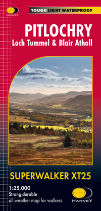
- Pitlochry - Loch Tummel & Blair Atholl Harvey XT25 Superwalker Map
- Detailed map for hillwalkers of Pitlochry, Loch Tummel and Blair Atholl at the popular 1:25,000 scale.Includes Ben Vrackie, Beinn a’ Ghlo and Pass of Killiecrankie. Shows Aberfeldy in the south, Pitlochry to the east and the hills north of Blair Atholl.Includes 5 Munros and 4 Corbetts.Tough, light, durable and 100% waterproofGenuine, original,... Read more
De Zwerver
Netherlands
Netherlands
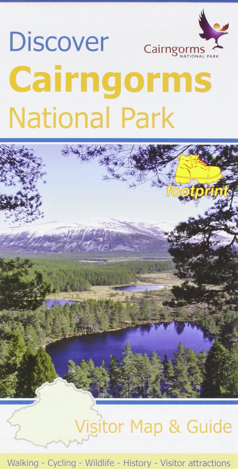
- Wandelkaart Discover Cairngorms National Park | Footprint maps
- Cairngorms National Park on a contoured and GPS compatible map at 1:120,000 from Footprint Walks, with street plans of main towns plus on the reverse extensive tourist information including useful contact details, etc. The map covers the whole of the national park area, extending from Bridge of Avon and Grantown-on Spey to Pitlochry, and from... Read more
- Also available from:
- Stanfords, United Kingdom

Stanfords
United Kingdom
United Kingdom
- Discover Cairngorms National Park
- Cairngorms National Park on a contoured and GPS compatible map at 1:120,000 from Footprint Walks, with street plans of main towns plus on the reverse extensive tourist information including useful contact details, etc. The map covers the whole of the national park area, extending from Bridge of Avon and Grantown-on Spey to Pitlochry, and from... Read more
- Also available from:
- Stanfords, United Kingdom
Stanfords
United Kingdom
2019
United Kingdom
2019
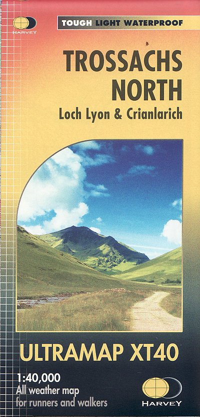
- Trossachs North Harvey Ultramap XT40
- Contains 22 Munros, 14 Corbetts and 5 Grahams.Includes the iconic Ben Lui and the Cononish Gold Mine.All 7 Crianlarich Munros on one side of the sheet.- The Ultramap covers a large area yet is small enough to slip in a pocket- The Ultramap is fully detailed genuine original HARVEY mapping- The Ultramap is tough, light and 100% waterproof- To... Read more
- Also available from:
- Stanfords, United Kingdom

Stanfords
United Kingdom
2019
United Kingdom
2019
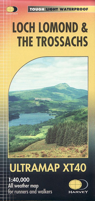
- Loch Lomond & The Trossachs Harvey Ultramap XT40
- Includes 7 Munros, 7 Corbetts and 6 Grahams.Includes Scotland`s most southerly Munro, Ben Lomond.Ideal for The Great Trossachs Forest & Queen Elizabeth Forest Park.- The Ultramap covers a large area yet is small enough to slip in a pocket- The Ultramap is fully detailed genuine original Harvey mapping- The Ultramap is tough, light and 100%... Read more
Bol.com
Netherlands
2016
Netherlands
2016
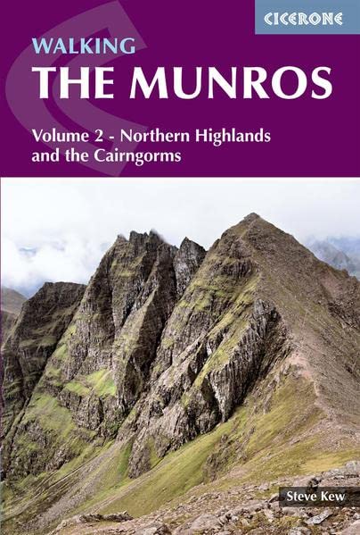
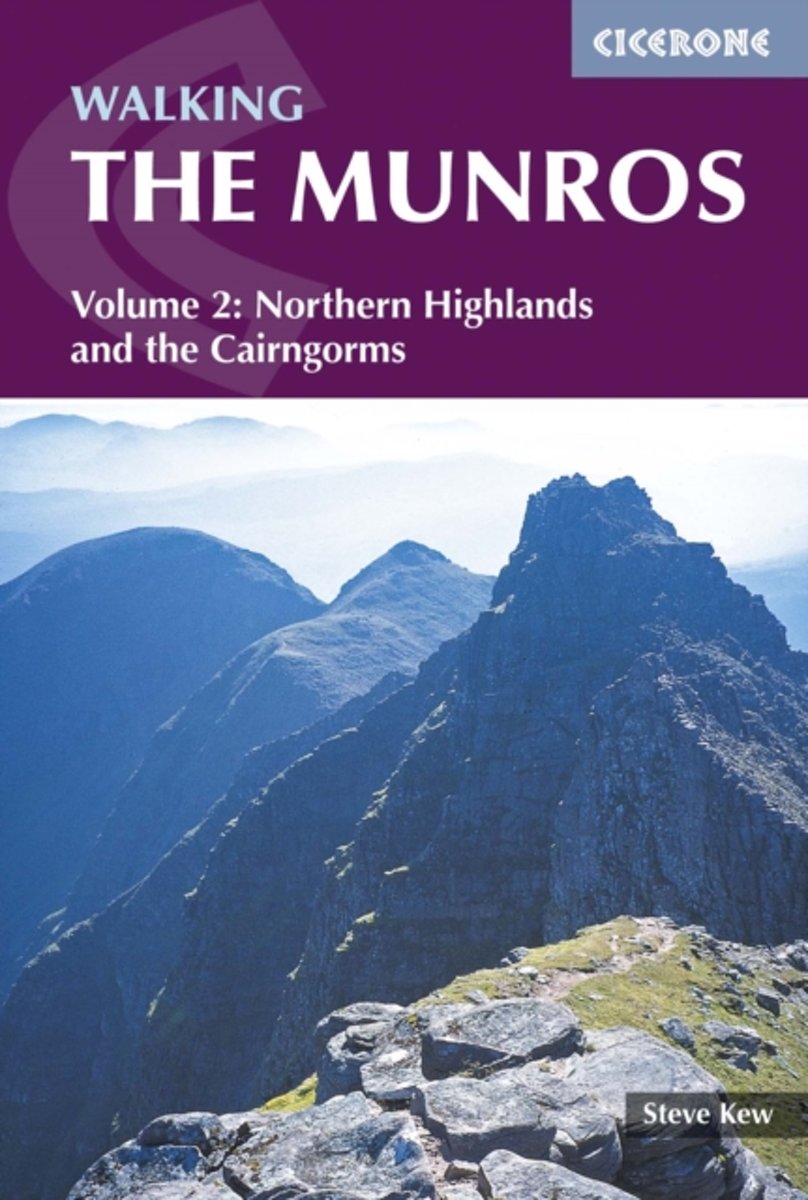
- Walking the Munros Vol 2 - Northern Highlands and the Cairngorms
- This guidebook presents 70 challenging and inspiring routes to climb 143 Munro mountains. Part of a two-part set, this second volume covers the northern Highlands (north of the Great Glen), the Cairngorms and Isle of Skye. Covering popular and lesser-known routes, it is ideal both for Munro-baggers and those who simply love great mountain... Read more
- Also available from:
- Bol.com, Belgium
- Stanfords, United Kingdom
Bol.com
Belgium
2016
Belgium
2016
- Walking the Munros Vol 2 - Northern Highlands and the Cairngorms
- This guidebook presents 70 challenging and inspiring routes to climb 143 Munro mountains. Part of a two-part set, this second volume covers the northern Highlands (north of the Great Glen), the Cairngorms and Isle of Skye. Covering popular and lesser-known routes, it is ideal both for Munro-baggers and those who simply love great mountain... Read more

Stanfords
United Kingdom
2016
United Kingdom
2016
- Walking the Munros: Vol 2 : Northern Highlands and the Cairngorms
- Walking the Munros is part of a two-volume describing challenging and inspiring routes to climb Scotland`s 282 iconic 3000ft+ mountains. This volume covers the northern Highlands (north of the Great Glen), the Cairngorms and Isle of Skye. 70 challenging and inspiring routes are described to climb 143 Munro mountains. Covering popular and... Read more
Bol.com
Netherlands
Netherlands
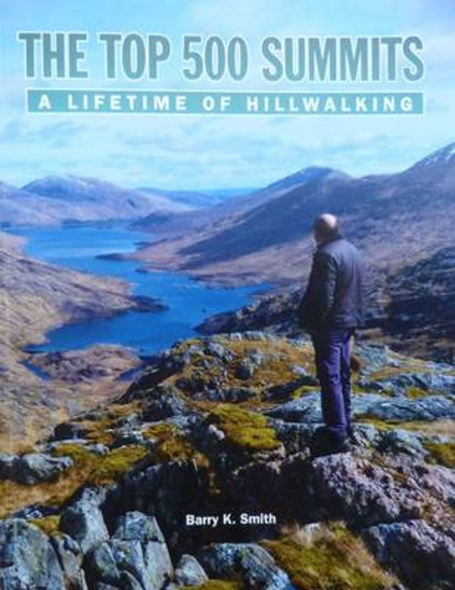
- The Top 500 Summits
- The Top 500 Summits are the highest 500 mountains in Britain and Ireland with a drop of at least 500 feet on all sides. From the highest mountain on the list, Ben Nevis (4,411ft) to the lowest, Knockanaffrin in Ireland (2,477ft), this guide tells Barry's personal journey over all 500 summits. Other walkers who have shared in some of Barry's... Read more
- Also available from:
- Bol.com, Belgium
Bol.com
Belgium
Belgium
- The Top 500 Summits
- The Top 500 Summits are the highest 500 mountains in Britain and Ireland with a drop of at least 500 feet on all sides. From the highest mountain on the list, Ben Nevis (4,411ft) to the lowest, Knockanaffrin in Ireland (2,477ft), this guide tells Barry's personal journey over all 500 summits. Other walkers who have shared in some of Barry's... Read more
Bol.com
Netherlands
Netherlands
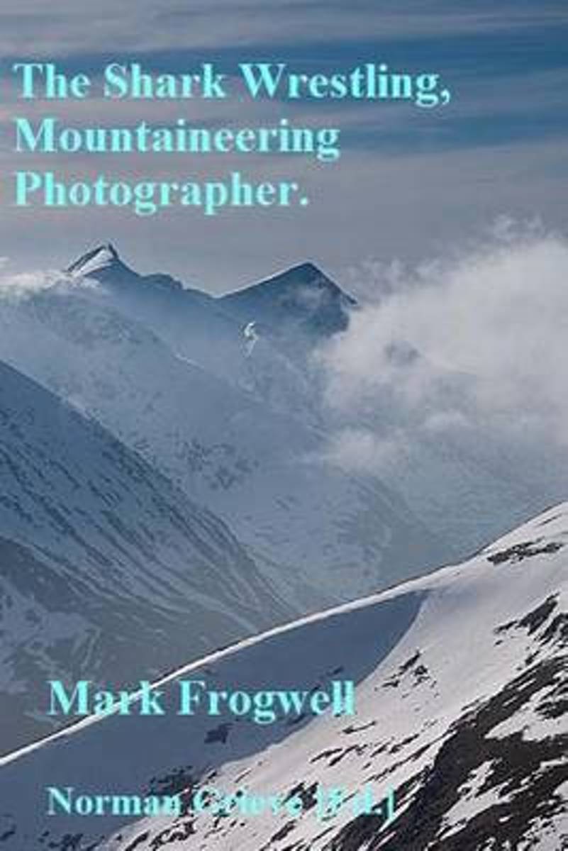
- The Shark Wrestling Mountaineering Photographer...
- P.3 Half a walk.P.12 Buachaille Etive Mor.P.24 Meall na Fearna, Malky Style.P.29 Buachaille Etive Beag.P.34 First Fail of the Year - Ben Starav etc.P.43 Glen Affric (1x3) +4 -1 = 4.P.57 An Caisteal, Beinn a'Chroin - Bog, Snow, Bog.P.71 Devils Point, Cairn Toul, Sgor an Lochain Uaine, Braeriach.P.82 White Mounth Munros - Fail. Lochnagar - Pass... Read more
- Also available from:
- Bol.com, Belgium
Bol.com
Belgium
Belgium
- The Shark Wrestling Mountaineering Photographer...
- P.3 Half a walk.P.12 Buachaille Etive Mor.P.24 Meall na Fearna, Malky Style.P.29 Buachaille Etive Beag.P.34 First Fail of the Year - Ben Starav etc.P.43 Glen Affric (1x3) +4 -1 = 4.P.57 An Caisteal, Beinn a'Chroin - Bog, Snow, Bog.P.71 Devils Point, Cairn Toul, Sgor an Lochain Uaine, Braeriach.P.82 White Mounth Munros - Fail. Lochnagar - Pass... Read more
Bol.com
Netherlands
2017
Netherlands
2017
- Walking the Song
- Hamish Brown has been an outdoorsman for more than sixty years. The first person to complete an uninterrupted round of Scotland's Munros, his account of the feat in Hamish's Mountain Walk is a classic of Scottish mountain literature. Throughout those years he has contributed articles and essays to many journals and, in this selection, he... Read more
- Also available from:
- Bol.com, Belgium
Bol.com
Belgium
2017
Belgium
2017
- Walking the Song
- Hamish Brown has been an outdoorsman for more than sixty years. The first person to complete an uninterrupted round of Scotland's Munros, his account of the feat in Hamish's Mountain Walk is a classic of Scottish mountain literature. Throughout those years he has contributed articles and essays to many journals and, in this selection, he... Read more
Bol.com
Netherlands
Netherlands
- King of Cuba
- Martin Moran has been a man of the mountains since youth. Famously, he made the first solo ascent of the Scottish Munros in the winter months, as described in his great book, The Munros in Winter (published by Sandstone Press). For decades now he has made his living as a mountain guide based in Strathcarron, Wester Ross. The Scottish hills have... Read more
- Also available from:
- Bol.com, Belgium
Bol.com
Belgium
Belgium
- King of Cuba
- Martin Moran has been a man of the mountains since youth. Famously, he made the first solo ascent of the Scottish Munros in the winter months, as described in his great book, The Munros in Winter (published by Sandstone Press). For decades now he has made his living as a mountain guide based in Strathcarron, Wester Ross. The Scottish hills have... Read more

De Zwerver
Netherlands
2017
Netherlands
2017
- Wandelgids Walking in the Cairngorms | Cicerone
- Guidebook describing a selection of over 100 walks in the Cairngorms National Park and Lochnagar, covering low-level, mid-level and mountain routes (including 18 Munro summits) and both day walks and multi-day treks. From gentle sandy trails to rocky scrambles, the routes suit most abilities, taking in mountains, forests, lochs and moorland. Read more
- Also available from:
- Bol.com, Netherlands
- Bol.com, Belgium
- Stanfords, United Kingdom
- The Book Depository, United Kingdom
Bol.com
Netherlands
2017
Netherlands
2017
- Walking in the Cairngorms
- This guidebook contains over 100 routes for walking in the Scottish Cairngorms. It includes 18 Munro summits and smaller viewpoint hills. Walks range in length from 1 to 26 miles and are graded for difficulty. For the adventurous there are the best of the area's rocky scrambles, and the classic through-routes including the Lairig Ghru. For... Read more
Bol.com
Belgium
2017
Belgium
2017
- Walking in the Cairngorms
- This guidebook contains over 100 routes for walking in the Scottish Cairngorms. It includes 18 Munro summits and smaller viewpoint hills. Walks range in length from 1 to 26 miles and are graded for difficulty. For the adventurous there are the best of the area's rocky scrambles, and the classic through-routes including the Lairig Ghru. For... Read more

Stanfords
United Kingdom
2017
United Kingdom
2017
- Walking in the Cairngorms
- This guidebook contains over 100 routes for walking in the Scottish Cairngorms. It includes 18 Munro summits and smaller viewpoint hills. Walks range in length from 1 to 26 miles and are graded for difficulty. For the adventurous there are the best of the area`s rocky scrambles, and the classic through-routes including the Lairig Ghru. For... Read more

The Book Depository
United Kingdom
2017
United Kingdom
2017
- Walking in the Cairngorms
- Over 100 walks, trails and scrambles including Lochnagar Read more

Bol.com
Netherlands
2017
Netherlands
2017
- Rough Guide - the Scottish Highlands & Islands
- Closer to the Arctic than London in places, the Scottish Highlands and Islands is a region of rugged, elemental beauty. The tourist trail - all loch-dwelling monsters, whisky distilleries and Harry Potter steam trains - is deservedly well-stamped. But diverge from the crowds to discover white-sand bays on Harris, peculiar domed Munros in Assynt... Read more
- Also available from:
- Bol.com, Belgium
Bol.com
Belgium
2017
Belgium
2017
- Rough Guide - the Scottish Highlands & Islands
- Closer to the Arctic than London in places, the Scottish Highlands and Islands is a region of rugged, elemental beauty. The tourist trail - all loch-dwelling monsters, whisky distilleries and Harry Potter steam trains - is deservedly well-stamped. But diverge from the crowds to discover white-sand bays on Harris, peculiar domed Munros in Assynt... Read more
Kaarten
De Zwerver
Netherlands
Netherlands
- Wandelkaart St Cuthbert's Way | Harvey Maps
- St. Cuthbert's Way, a 100km / 62.5 mile route from Melrose in the Scottish Borders through the Northumberland National Park to the Holly Island of Lindisfarne, presented at 1:40,000 on a GPS compatible, light, waterproof and tear-resistant map from Harvey Map Services. The route is shown on six panels, with additional small street plans of... Read more
- Also available from:
- Stanfords, United Kingdom

Stanfords
United Kingdom
United Kingdom
- St Cuthbert`s Way Harvey National Trail XT40
- St. Cuthbert`s Way, a 100km / 62.5 mile route from Melrose in the Scottish Borders through the Northumberland National Park to the Holly Island of Lindisfarne, presented at 1:40,000 on a GPS compatible, light, waterproof and tear-resistant map from Harvey Map Services. The route is shown on six panels, with additional small street plans of... Read more

De Zwerver
Netherlands
Netherlands
- Wandelkaart - Fietskaart South Downs Way | Harvey Maps
- The South Downs Way, a 160km / 100 mile National Trail from Eastbourne to Winchester, presented at 1:40,000 on a light, waterproof and tear-resistant map from Harvey Map Services. The route is shown on nine panels, with additional small street plans of Eastbourne and Winchester. Map legend and the accompanying notes are also in French and... Read more
- Also available from:
- Stanfords, United Kingdom

Stanfords
United Kingdom
United Kingdom
- South Downs Way Harvey National Trail XT40
- The South Downs Way, a 160km / 100 mile National Trail from Eastbourne to Winchester, presented at 1:40,000 on a light, waterproof and tear-resistant map from Harvey Map Services. The route is shown on nine panels, with additional small street plans of Eastbourne and Winchester. Map legend and the accompanying notes are also in French and... Read more

De Zwerver
Netherlands
2014
Netherlands
2014
- Wandelkaart Glyndwr's Way | Harvey Maps
- Glyndwr's Way, a 217km / 135 mile long trail from Knighton in Powys to Welshpool presented at 1:40,000 on a GPS compatible, light, waterproof and tear-resistant map from Harvey Map Services. The whole route is covered on eight overlapping panels. Map legend includes Welsh; most of the additional information is in English only.Maps in the Harvey Read more
- Also available from:
- Stanfords, United Kingdom

Stanfords
United Kingdom
2014
United Kingdom
2014
- Glyndwr`s Way Harvey National Trail XT40
- Glyndwr`s Way, a 217km / 135 mile long trail from Knighton in Powys to Welshpool presented at 1:40,000 on a GPS compatible, light, waterproof and tear-resistant map from Harvey Map Services. The whole route is covered on eight overlapping panels. Map legend includes Welsh; most of the additional information is in English only.Maps in the... Read more
De Zwerver
Netherlands
Netherlands
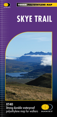
- Wandelkaart Skye Trail | Harvey Maps
- Een bijzonder handige kaart van dit lange-afstands-wandelpad. Op waterafstotend papier met veel details. Het enige dat je eigenlijk een beetje mist is een overzicht. Verder uitstekend en voldoende voor de route. The Skye Trail is a challenging unofficial route through the island which is specifically aimed at experienced hillwalkers. The route... Read more
- Also available from:
- Bol.com, Netherlands
- Bol.com, Belgium
- Stanfords, United Kingdom
- The Book Depository, United Kingdom
Bol.com
Netherlands
Netherlands
- Skye Trail
- Een bijzonder handige kaart van dit lange-afstands-wandelpad. Op waterafstotend papier met veel details. Het enige dat je eigenlijk een beetje mist is een overzicht. Verder uitstekend en voldoende voor de route. The Skye Trail is a challenging unofficial route through the island which is specifically aimed at experienced hillwalkers. The route... Read more
Bol.com
Belgium
Belgium
- Skye Trail
- Een bijzonder handige kaart van dit lange-afstands-wandelpad. Op waterafstotend papier met veel details. Het enige dat je eigenlijk een beetje mist is een overzicht. Verder uitstekend en voldoende voor de route. The Skye Trail is a challenging unofficial route through the island which is specifically aimed at experienced hillwalkers. The route... Read more

Stanfords
United Kingdom
United Kingdom
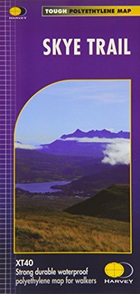
- Skye Trail Harvey National Trail XT40
- The Skye Trail - an unofficial 134 kms / 83 miles long-distance route along the island’s eastern coast, suitable only for experienced hillwalkers - presented at 1:40,000 on light waterproof and tear-resistant, contoured and GPS compatible map at from Harveys. The trail takes in the Storr, with alternative routes southwards along the coast or... Read more

The Book Depository
United Kingdom
United Kingdom
- Skye Trail
- Een bijzonder handige kaart van dit lange-afstands-wandelpad. Op waterafstotend papier met veel details. Het enige dat je eigenlijk een beetje mist is een overzicht. Verder uitstekend en voldoende voor de route. The Skye Trail is a challenging unofficial route through the island which is specifically aimed at experienced hillwalkers. The route... Read more
Bol.com
Netherlands
Netherlands
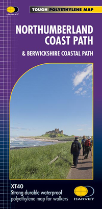
- Northumberland Coast Path
- Northumberland Coast Path and its continuation northwards into Scotland, the Berwickshire Coastal Path, a combined a 148km / 92 mile route from Cresswell to Berwick-upon-Tweed and further along the North Sea coast to Cockburnspath, presented at 1:40,000 on a GPS compatible, light, waterproof and tear-resistant map from Harvey Map Services. The... Read more
- Also available from:
- Bol.com, Belgium
- Stanfords, United Kingdom
- The Book Depository, United Kingdom
Bol.com
Belgium
Belgium
- Northumberland Coast Path
- Northumberland Coast Path and its continuation northwards into Scotland, the Berwickshire Coastal Path, a combined a 148km / 92 mile route from Cresswell to Berwick-upon-Tweed and further along the North Sea coast to Cockburnspath, presented at 1:40,000 on a GPS compatible, light, waterproof and tear-resistant map from Harvey Map Services. The... Read more

Stanfords
United Kingdom
United Kingdom
- Northumberland Coast Path & Berwickshire Coastal Path Harvey National Trail XT40
- Northumberland Coast Path and its continuation northwards into Scotland, the Berwickshire Coastal Path, a combined a 148km / 92 mile route from Cresswell to Berwick-upon-Tweed and further along the North Sea coast to Cockburnspath, presented at 1:40,000 on a GPS compatible, light, waterproof and tear-resistant map from Harvey Map Services. The... Read more


De Zwerver
Netherlands
Netherlands
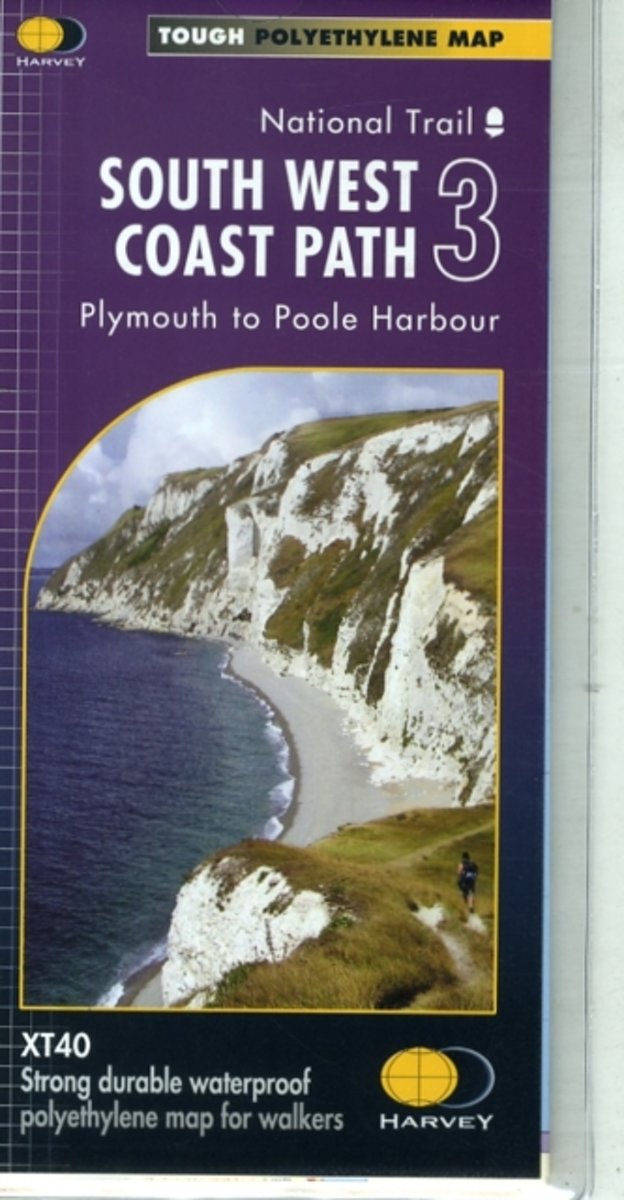
- Wandelkaart 3 South West Coast Path 3 | Harvey Maps
- The third section of the South West Coast Path National Trail, from Plymouth to Poole Harbour along the southern coast Devon and the coast of Dorset, presented by Harvey Map Services at 1:40,000 on a light, waterproof and tear-resistant map, showing the path on 11 overlapping panels.In this new 2015 edition the whole route from Minehead to... Read more
- Also available from:
- Bol.com, Netherlands
- Bol.com, Belgium
- Stanfords, United Kingdom
- The Book Depository, United Kingdom
Bol.com
Netherlands
Netherlands
- South West Coast Path 3 XT40
- The third section of the South West Coast Path National Trail, from Plymouth to Poole Harbour along the southern coast Devon and the coast of Dorset, presented by Harvey Map Services at 1:40,000 on a light, waterproof and tear-resistant map, showing the path on 11 overlapping panels.In this new 2015 edition the whole route from Minehead to... Read more
Bol.com
Belgium
Belgium
- South West Coast Path 3 XT40
- The third section of the South West Coast Path National Trail, from Plymouth to Poole Harbour along the southern coast Devon and the coast of Dorset, presented by Harvey Map Services at 1:40,000 on a light, waterproof and tear-resistant map, showing the path on 11 overlapping panels.In this new 2015 edition the whole route from Minehead to... Read more

Stanfords
United Kingdom
United Kingdom
- South West Coast Path 3 - Plymouth to Poole Harbour Harvey National Trail XT40
- The third section of the South West Coast Path National Trail, from Plymouth to Poole Harbour along the southern coast Devon and the coast of Dorset, presented by Harvey Map Services at 1:40,000 on a light, waterproof and tear-resistant map, showing the path on 11 overlapping panels.In this new 2015 edition the whole route from Minehead to... Read more


De Zwerver
Netherlands
2018
Netherlands
2018
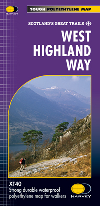
- Wandelkaart West Highland Way | Harvey Maps
- Wandelkaart van de West Highland Way met uitsnedes van de route. Leap forward in technical excellence. Tough, light and 100% wateproof. Compact and light - the map itself weighs just 60gms - a third of the weight of a laminated map, and much less bulky. And you can fold or refold it time and again, or stuff it in your back pocket and it... Read more
- Also available from:
- Bol.com, Netherlands
- Bol.com, Belgium
- Stanfords, United Kingdom

Bol.com
Netherlands
2018
Netherlands
2018
- West Highland Way XT40
- The West Highland Way is 96 miles (153 km) long and links Milngavie (Glasgow) to Fort William. It run's from Scotland's largest city to the foot of its highest mountain, Ben Nevis, through the Loch Lomond and Trossachs National Park.Detailed mapping, full legend in English, French and German. National Grid. Read more
Bol.com
Belgium
2018
Belgium
2018
- West Highland Way XT40
- The West Highland Way is 96 miles (153 km) long and links Milngavie (Glasgow) to Fort William. It run's from Scotland's largest city to the foot of its highest mountain, Ben Nevis, through the Loch Lomond and Trossachs National Park.Detailed mapping, full legend in English, French and German. National Grid. Read more
Stanfords
United Kingdom
2018
United Kingdom
2018
- West Highland Way Harvey National Trail XT40
- The West Highland Way, Scotland’s premier 153km / 96 miles long trail from Milngavie near Glasgow along Loch Lomond to Fort William presented at 1:40,000 on a light, waterproof and tear-resistant map from Harvey Map Services. The whole route is covered by nine overlapping panels, and the map includes small street plan of Milngavie, Tyndrum,... Read more

De Zwerver
Netherlands
2022
Netherlands
2022
- Wandelkaart Cape Wrath Trail North | Harvey Maps
- The northern section of the Cape Wrath Trail, from Strathcarron via Ullapool to Cape Wrath - the most north-westerly point in the mainland United Kingdom, presented at 1:40,000 on a light, waterproof and tear-resistant map from Harvey Map Services. The map covers this section of the trail on 12 overlapping panels. The whole Cape Wrath Trail is... Read more
- Also available from:
- Bol.com, Netherlands
- Bol.com, Belgium
- Stanfords, United Kingdom
- The Book Depository, United Kingdom

Bol.com
Netherlands
2014
Netherlands
2014
- Cape Wrath Trail North XT40
- The northern section of the Cape Wrath Trail, from Strathcarron via Ullapool to Cape Wrath - the most north-westerly point in the mainland United Kingdom, presented at 1:40,000 on a light, waterproof and tear-resistant map from Harvey Map Services. The map covers this section of the trail on 12 overlapping panels. The whole Cape Wrath Trail is... Read more
Bol.com
Belgium
2014
Belgium
2014
- Cape Wrath Trail North XT40
- The northern section of the Cape Wrath Trail, from Strathcarron via Ullapool to Cape Wrath - the most north-westerly point in the mainland United Kingdom, presented at 1:40,000 on a light, waterproof and tear-resistant map from Harvey Map Services. The map covers this section of the trail on 12 overlapping panels. The whole Cape Wrath Trail is... Read more

Stanfords
United Kingdom
2014
United Kingdom
2014
- Cape Wrath Trail North - Strathcarron to Cape Wrath Harvey National Trail XT40
- The northern section of the Cape Wrath Trail, from Strathcarron via Ullapool to Cape Wrath - the most north-westerly point in the mainland United Kingdom, presented at 1:40,000 on a light, waterproof and tear-resistant map from Harvey Map Services. The map covers this section of the trail on 12 overlapping panels. The whole Cape Wrath Trail is... Read more

Bol.com
Netherlands
Netherlands
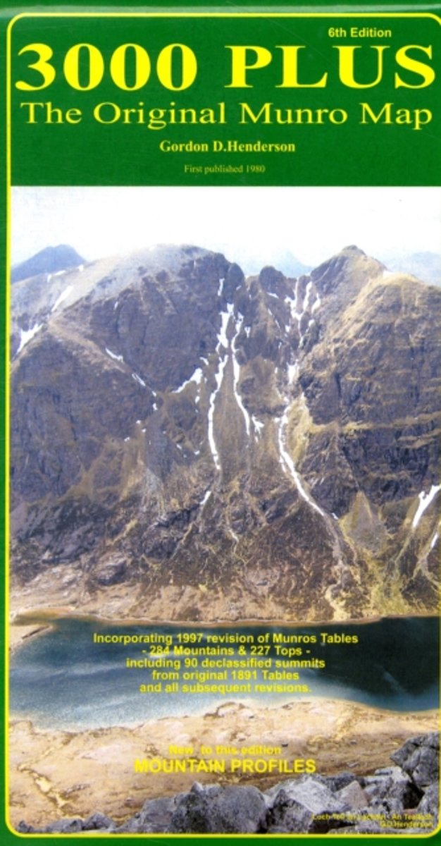
- 3000 Plus - the Original Munro Map
- 3000 PLUS - The Original Munro Map , is the most comprehensive, full-colour map of Scotland's 3000ft mountains available today, clearly showing the location of all 511 summits - an invaluable tool for outdoor enthusiasts to plan their next ascent and track their progress. First published in 1980, this is the 6th edition, fully revised, updated... Read more
- Also available from:
- Bol.com, Belgium
- Stanfords, United Kingdom
Bol.com
Belgium
Belgium
- 3000 Plus - the Original Munro Map
- 3000 PLUS - The Original Munro Map , is the most comprehensive, full-colour map of Scotland's 3000ft mountains available today, clearly showing the location of all 511 summits - an invaluable tool for outdoor enthusiasts to plan their next ascent and track their progress. First published in 1980, this is the 6th edition, fully revised, updated... Read more

Stanfords
United Kingdom
United Kingdom
- 3000 Plus - The Munros Map
- 3000 Plus: The Original Munro Map from Gordon D. Henderson, showing the geographical distribution of every Munro summit recorded since the original tables compiled in 1891. The map incorporates the 1997 revision of the Munro Tables into the 284 mountains and the 227 tops, and includes the 90 declassified summits.The map covers Scotland north of... Read more
Bol.com
Netherlands
Netherlands
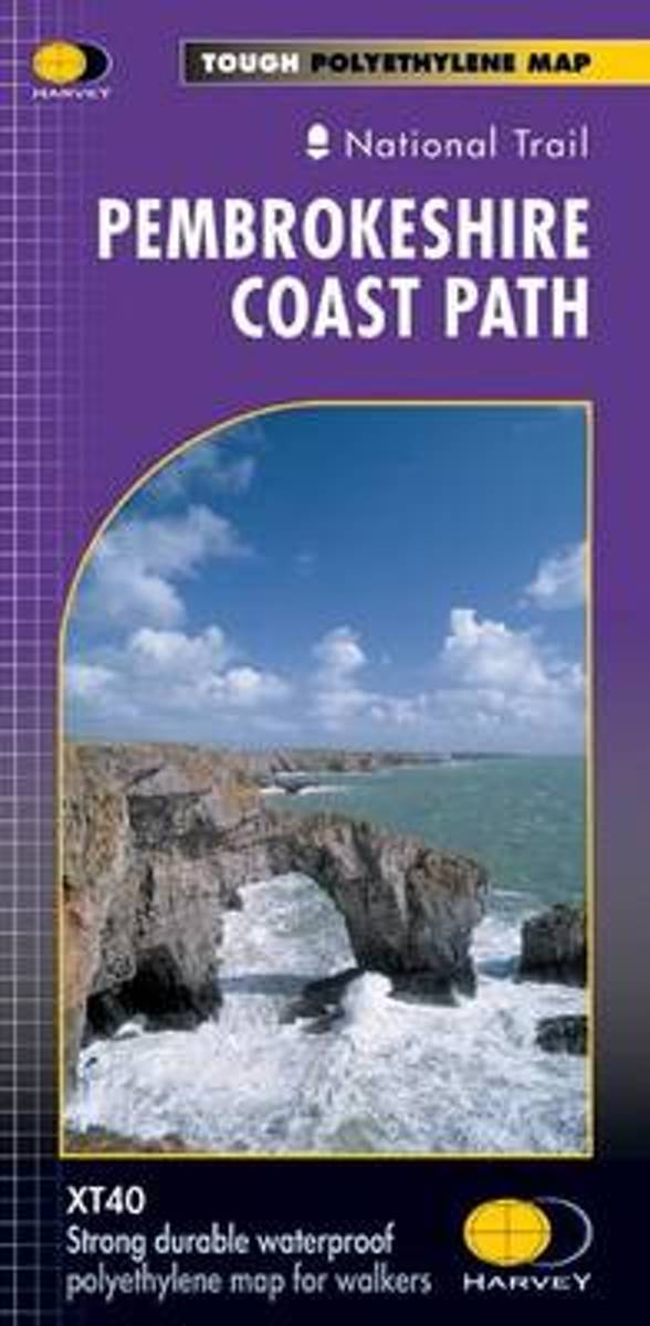
- Pembroke Coast Path XT40
- Pembrokeshire Coast Path, a 265km / 165 mile section of the Wales Coast Path, presented at 1:40,000 on a light, waterproof and tear-resistant map from Harvey Map Services. The route is shown on nine panels.Maps in the Harvey Read more
- Also available from:
- Bol.com, Belgium
- Stanfords, United Kingdom
Bol.com
Belgium
Belgium
- Pembroke Coast Path XT40
- Pembrokeshire Coast Path, a 265km / 165 mile section of the Wales Coast Path, presented at 1:40,000 on a light, waterproof and tear-resistant map from Harvey Map Services. The route is shown on nine panels.Maps in the Harvey Read more

Stanfords
United Kingdom
United Kingdom
- Pembrokeshire Coast Path Harvey National Trail XT40
- Pembrokeshire Coast Path, a 265km / 165 mile section of the Wales Coast Path, presented at 1:40,000 on a light, waterproof and tear-resistant map from Harvey Map Services. The route is shown on nine panels.Maps in the Harvey’s series covering Great Britain’s national trails and other long-distance footpaths are printed on light, waterproof and... Read more

Bol.com
Netherlands
Netherlands
- Offa's Dyke Path South
- Wandelkaart van het Zuidelijk deel van Offa's Dyke Path met uitsnedes van de route. Offa's Dyke Path is a National Trail. It runs along the border between Wales and England. Offa was a famous king of Mercia from 757 to 796, ruling an area stretching across a large part of England. Offa's Dyke Path runs from sea to sea - the Severn... Read more
- Also available from:
- Bol.com, Belgium
Bol.com
Belgium
Belgium
- Offa's Dyke Path South
- Wandelkaart van het Zuidelijk deel van Offa's Dyke Path met uitsnedes van de route. Offa's Dyke Path is a National Trail. It runs along the border between Wales and England. Offa was a famous king of Mercia from 757 to 796, ruling an area stretching across a large part of England. Offa's Dyke Path runs from sea to sea - the Severn... Read more

De Zwerver
Netherlands
2014
Netherlands
2014
- Wandelkaart Cape Wrath Trail South | Harvey Maps
- The southern section of the Cape Wrath Trail, from Fort William to Strathcarron presented at 1:40,000 on a light, waterproof and tear-resistant map from Harvey Map Services. The map covers this section of the trail on eight panels, showing both the western variant via Inverie and Shiel Bridge, and inland route along Loch Lochy and Invegarry.... Read more
- Also available from:
- Bol.com, Netherlands
- Bol.com, Belgium
- Stanfords, United Kingdom
- The Book Depository, United Kingdom

Bol.com
Netherlands
2014
Netherlands
2014
- Cape Wrath Trail South XT40
- Cape Wrath Trail is a challenging route from Fort William to Cape Wrath. It is around 200 miles long and passes through some of Scotland's wildest and most spectacular scenery. The trail has evolved from use and is not an officially recognised National Trail. There is no single definitive route. There are various ways of tackling the traverse... Read more
Bol.com
Belgium
2014
Belgium
2014
- Cape Wrath Trail South XT40
- Cape Wrath Trail is a challenging route from Fort William to Cape Wrath. It is around 200 miles long and passes through some of Scotland's wildest and most spectacular scenery. The trail has evolved from use and is not an officially recognised National Trail. There is no single definitive route. There are various ways of tackling the traverse... Read more

Stanfords
United Kingdom
2014
United Kingdom
2014
- Cape Wrath Trail South - Fort William to Strathcarron Harvey National Trail XT40
- The southern section of the Cape Wrath Trail, from Fort William to Strathcarron presented at 1:40,000 on a light, waterproof and tear-resistant map from Harvey Map Services. The map covers this section of the trail on eight panels, showing both the western variant via Inverie and Shiel Bridge, and inland route along Loch Lochy and Invegarry.... Read more


Stanfords
United Kingdom
United Kingdom
- Loch Lomond & the Trossachs National Park Outdoor Atlas
- Lomond & the Trossachs National Park in an indexed, A5 size, spiral-bound recreational atlas at 1:40,000 from Harvey Map Services, with additional street plans, overview maps showing local peaks or the transport links, lists of Munros and lochs, etc. Topography is shown by contours at 15m intervals, with additional colouring and/or graphics for... Read more

Stanfords
United Kingdom
United Kingdom
- Two Moors Way Harvey National Trail XT40
- Two Moors Way, a 150km / 93 mile long-distance trail between Lynmouth on the north coast of Devon and Ivybridge near Plymouth, crossing Exmoor and Dartmoor National Parks, presented at 1:40,000 on a light, waterproof and tear-resistant map from Harvey Map Services. The route is shown on six panels.Maps in the Harvey’s series covering Great... Read more

Stanfords
United Kingdom
United Kingdom
- Bob Graham Round in the Lakeland Fells
- Bob Graham Round, a historic 106km / 66 mile circuit across the fells of the Lake District, presented at 1:40,000 on a light, waterproof and tear-resistant map from Harvey Map Services. First completed by Bob Graham in 1932 and now a popular challenge, the route which takes in 42 Lakeland summits is presented on four overlapping panels.Maps in... Read more