
Three Peaks
Beschrijving
The "Three Peaks" refer to the highest peaks in Scotland, England and Wales. The Three Peaks challenge involves climbing Snowdon, Scafell Pike and Ben Nevis, in under 24 hours.
Links
Feiten
Verslagen
Gidsen en kaarten
Overnachting
Organisaties
Reisorganisaties
GPS
Anders
Boeken
De Zwerver
Netherlands
2022
Netherlands
2022
De Zwerver
Netherlands
2024
Netherlands
2024

De Zwerver
Netherlands
2024
Netherlands
2024
- Reisgids Snowdonia & North Wales | Rough Guides
- Rough Guides Staycations Snowdonia & North WalesMake the most of your time on Earth with the ultimate travel guides.Inspirational and informative new pocket guide, with free eBook, making the most of holidaying at home in the UK through clearly laid-out walks and tours.Explore the best of Snowdonia & North Wales with this unique travel guide,... Read more
- Also available from:
- Stanfords, United Kingdom

Stanfords
United Kingdom
2021
United Kingdom
2021
- Pocket Rough Guide Staycations Snowdonia & North Wales (Travel Guide with Free eBook)
- Rough Guides Staycations Snowdonia & North WalesMake the most of your time on Earth with the ultimate travel guides.Inspirational and informative new pocket guide, with free eBook, making the most of holidaying at home in the UK through clearly laid-out walks and tours.Explore the best of Snowdonia & North Wales with this unique travel guide,... Read more
De Zwerver
Netherlands
2018
Netherlands
2018
- Wandelgids 71 Pathfinder Guides The High Fells of Lakeland | Ordnance Survey
- Are you planning a holiday to the Lake District? Do you enjoy a hill-walking challenge with impressive mountain-top views? Inside Pathfinder (R) Guide to the High Fells of Lakeland are 20 majestic and challenging fell walks amid the glorious scenery of the Lake District mountains with clear and easy-to-follow route directions compiled from the... Read more
- Also available from:
- Stanfords, United Kingdom

Stanfords
United Kingdom
2018
United Kingdom
2018
- The High Fells of Lakeland
- Are you planning a holiday to the Lake District? Do you enjoy a hill-walking challenge with impressive mountain-top views? Inside Pathfinder (R) Guide to the High Fells of Lakeland are 20 majestic and challenging fell walks amid the glorious scenery of the Lake District mountains with clear and easy-to-follow route directions compiled from the... Read more
- Also available from:
- Stanfords, United Kingdom

Stanfords
United Kingdom
2016
United Kingdom
2016
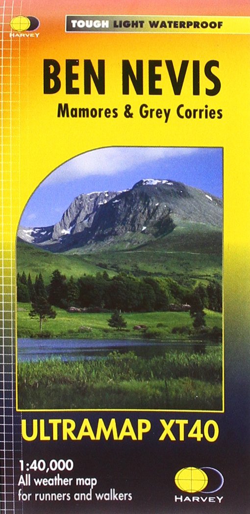
- Ben Nevis - Mamores & Grey Corries Harvey Ultramap XT40
- Ben Nevis with the Mamores and Grey Corries ranges at 1:40,000 on a waterproof and tear-resistant, pocket-size Ultramap from Harvey Map Services with the same cartography as their Superwalker map of this area. The peak of Ben Nevis is also shown in greater detail at 1:20,000. The map divides the area north/south, with a good overlap between the... Read more
De Zwerver
Netherlands
2015
Netherlands
2015
- Also available from:
- Stanfords, United Kingdom

Stanfords
United Kingdom
2015
United Kingdom
2015
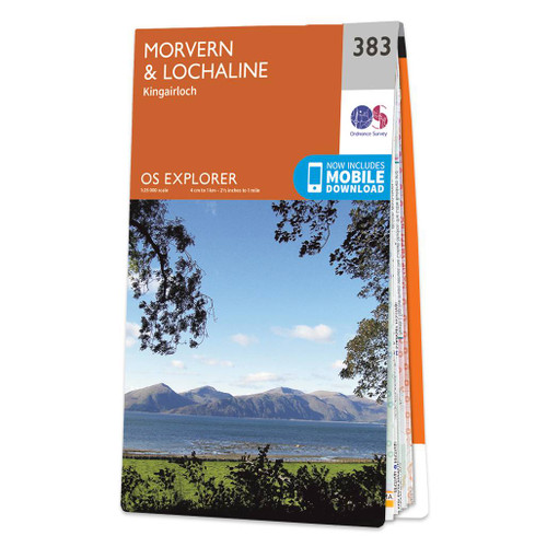
- Morvern & Lochaline - Kingairloch OS Explorer Map 383 (paper)
- Morvern, Lochaline and Kingairloch area on a detailed topographic and GPS compatible map No. 383, paper version, from the Ordnance Survey’s 1:25,000 Explorer series. MOBILE DOWNLOADS: this title and all the other OS Explorer maps include a code for downloading after purchase the digital version onto your smartphone or tablet for viewing on the... Read more
De Zwerver
Netherlands
Netherlands
- Also available from:
- Stanfords, United Kingdom

Stanfords
United Kingdom
United Kingdom
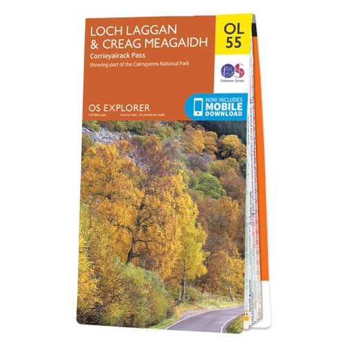
- Loch Laggan & Creag Meagaidh - Corrieyairick Pass OS Explorer Map OL55 (paper)
- Loch Laggan and Creag Meagaidh area of the Scottish Highlands on a detailed topographic and GPS compatible map OL55, paper version, from the Ordnance Survey’s 1:25,000 Explorer series. Coverage includes a section of the Cairngorms National Park, the Corrieyairack Pass and Forest, six Munro peaks including Cael Charn and Carn Liath, Badenoch,... Read more
Bol.com
Netherlands
2016
Netherlands
2016
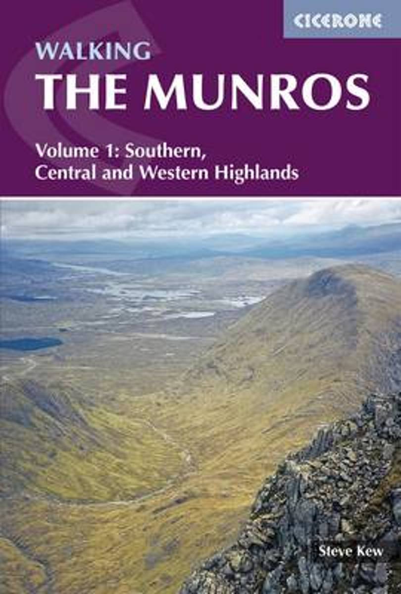
- Walking the Munros Vol 1 - Southern, Central and Western Highlands
- This guidebook presents 70 challenging and inspiring routes to climb 143 Munro mountains. Part of a two-part set, this second volume covers the northern Highlands (north of the Great Glen), the Cairngorms and Isle of Skye. Covering popular and lesser-known routes, it is ideal both for Munro-baggers and those who simply love great mountain... Read more
- Also available from:
- Bol.com, Belgium
Bol.com
Belgium
2016
Belgium
2016
- Walking the Munros Vol 1 - Southern, Central and Western Highlands
- This guidebook presents 70 challenging and inspiring routes to climb 143 Munro mountains. Part of a two-part set, this second volume covers the northern Highlands (north of the Great Glen), the Cairngorms and Isle of Skye. Covering popular and lesser-known routes, it is ideal both for Munro-baggers and those who simply love great mountain... Read more
Bol.com
Netherlands
2010
Netherlands
2010
- Hillwalking in Wales - Vol 2
- The first book in a two-volume series describing walking routes up every 2000-footer in Wales - all 166 of them. The result is not just a guide to the mountains of Snowdonia, but a handbook of over 450 routes covering 21 Welsh mountain ranges - the whale-backed ridges of the Black Mountains, the Brecon Beacons' precipitous escarpments, the... Read more
- Also available from:
- Bol.com, Belgium
- Stanfords, United Kingdom
- The Book Depository, United Kingdom
Bol.com
Belgium
2010
Belgium
2010
- Hillwalking in Wales - Vol 2
- The first book in a two-volume series describing walking routes up every 2000-footer in Wales - all 166 of them. The result is not just a guide to the mountains of Snowdonia, but a handbook of over 450 routes covering 21 Welsh mountain ranges - the whale-backed ridges of the Black Mountains, the Brecon Beacons' precipitous escarpments, the... Read more

Stanfords
United Kingdom
2010
United Kingdom
2010
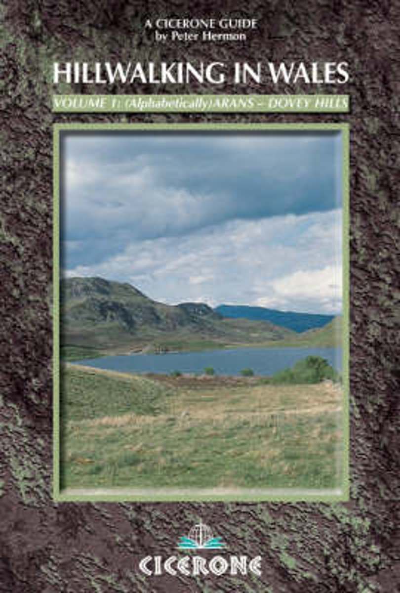
- Wales Hill Walking - Volume 1 - Arans - Dovey Hills
- Hill Walking in Wales- Volume 1 is part of an alphabetically arranged, two-book series of Peter Hermon’s Cicerone guides describing walking routes up every single 2000-footer in Wales. This volume covers the many hills of Wales, taking in the Arans, Arenigs, Berwyns, Black Mountains, Brecon Beacons, Cader Idris, Carneddau, Cwmdeuddwr and Dovey... Read more

The Book Depository
United Kingdom
2010
United Kingdom
2010
- Hillwalking in Wales - Vol 1
- The first of two guidebooks describing walking routes up every 2000-footer in Wales - covers Arans - Dovey hills. The routes - all 166 of them - are arranged alphabetically over the two volumes. Read more
De Zwerver
Netherlands
2017
Netherlands
2017
- Also available from:
- Bol.com, Netherlands
- Bol.com, Belgium
- Stanfords, United Kingdom
- The Book Depository, United Kingdom

Bol.com
Netherlands
2017
Netherlands
2017
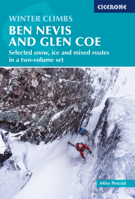
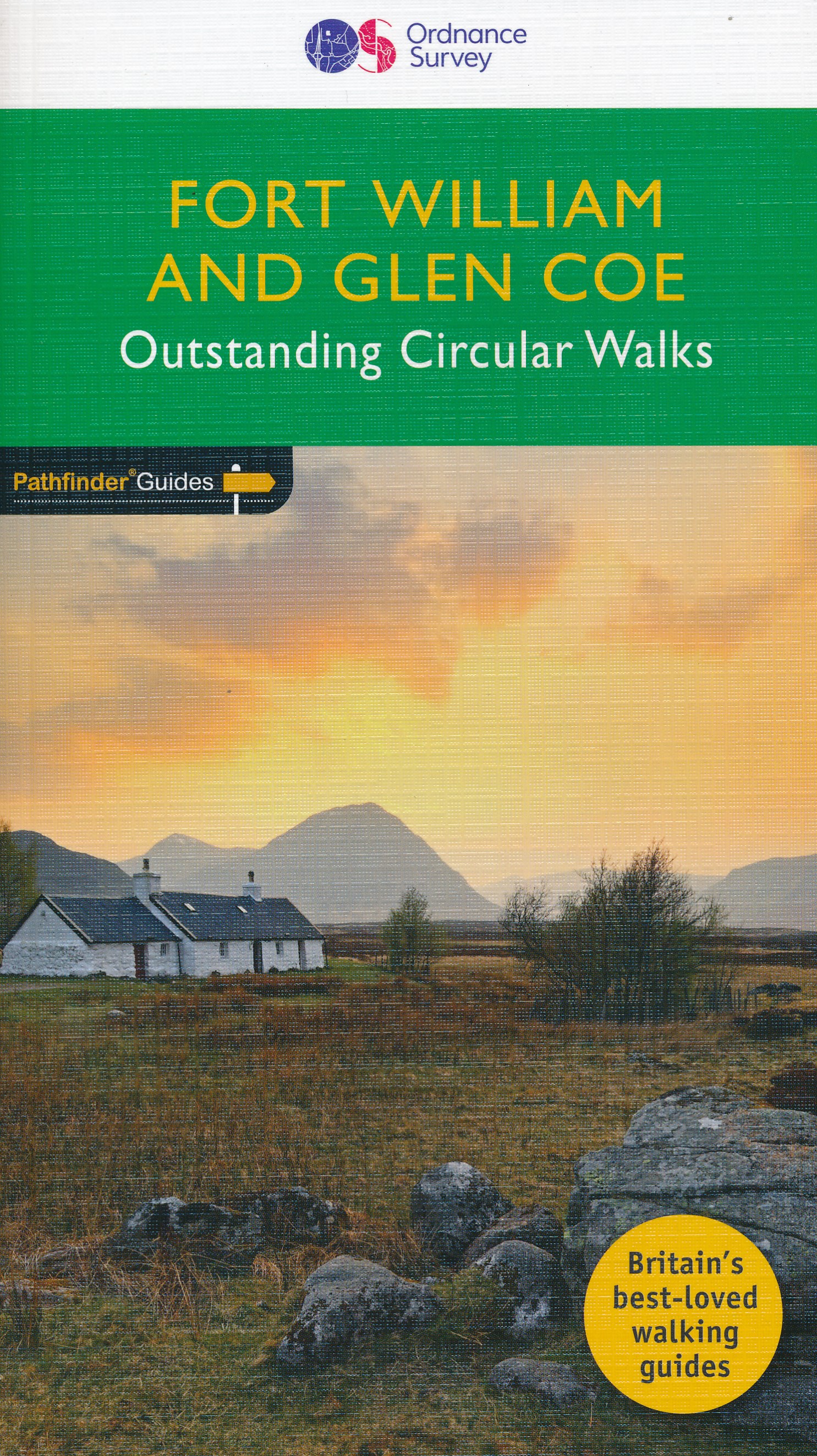
- Fort William & Glen Coe
- Fort William and Glen Coe encompass one of the greatest areas of sea and mountain landscape in Scotland, backed by some of the biggest and most demanding peaks. This is Scotland's fjord land, a drowned coastland with long sea arms wending far inland, and the walks range from Fort William at sea level to Ben Nevis, the highest summit in Britain.... Read more
Bol.com
Belgium
2017
Belgium
2017
- Fort William & Glen Coe
- Fort William and Glen Coe encompass one of the greatest areas of sea and mountain landscape in Scotland, backed by some of the biggest and most demanding peaks. This is Scotland's fjord land, a drowned coastland with long sea arms wending far inland, and the walks range from Fort William at sea level to Ben Nevis, the highest summit in Britain.... Read more

Stanfords
United Kingdom
2017
United Kingdom
2017
- Fort William and Glen Coe
- Fort William and Glen Coe encompass one of the greatest areas of sea and mountain landscape in Scotland, backed by some of the biggest and most demanding peaks. This is Scotland`s fjord land, a drowned coastland with long sea arms wending far inland, and the walks range from Fort William at sea level to Ben Nevis, the highest summit in Britain.... Read more

Bol.com
Netherlands
Netherlands
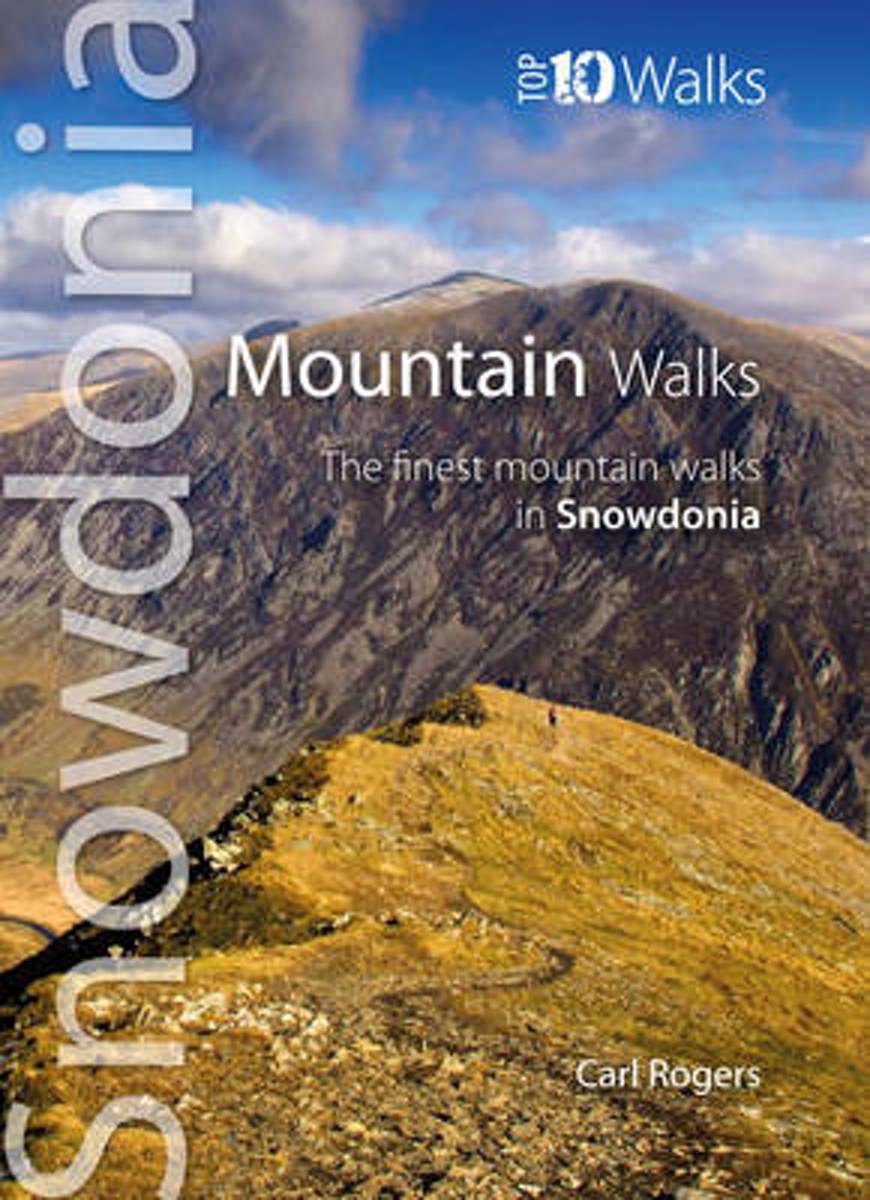
- Mountain Walks
- This attractive and cleverly structured guide gives walkers ten of the finest walks on the high mountains of the Snowdonia National Park in a popular pocketable format. With clear information, an overview and introduction for each walk, expertly written numbered directions, large scale Ordnance Survey maps, superb, eye-grabbing panoramic... Read more
- Also available from:
- Bol.com, Belgium
- Stanfords, United Kingdom
- The Book Depository, United Kingdom
Bol.com
Belgium
Belgium
- Mountain Walks
- This attractive and cleverly structured guide gives walkers ten of the finest walks on the high mountains of the Snowdonia National Park in a popular pocketable format. With clear information, an overview and introduction for each walk, expertly written numbered directions, large scale Ordnance Survey maps, superb, eye-grabbing panoramic... Read more

Stanfords
United Kingdom
United Kingdom
- Mountain Walks: The Finest Mountain Walks in Snowdonia
- This attractive and cleverly structured guide gives walkers ten of the finest walks on the high mountains of the Snowdonia National Park in a popular pocketable format. With clear information, an overview and introduction for each walk, expertly written numbered directions, large scale Ordnance Survey maps, superb, eye-grabbing panoramic... Read more

Bol.com
Netherlands
Netherlands
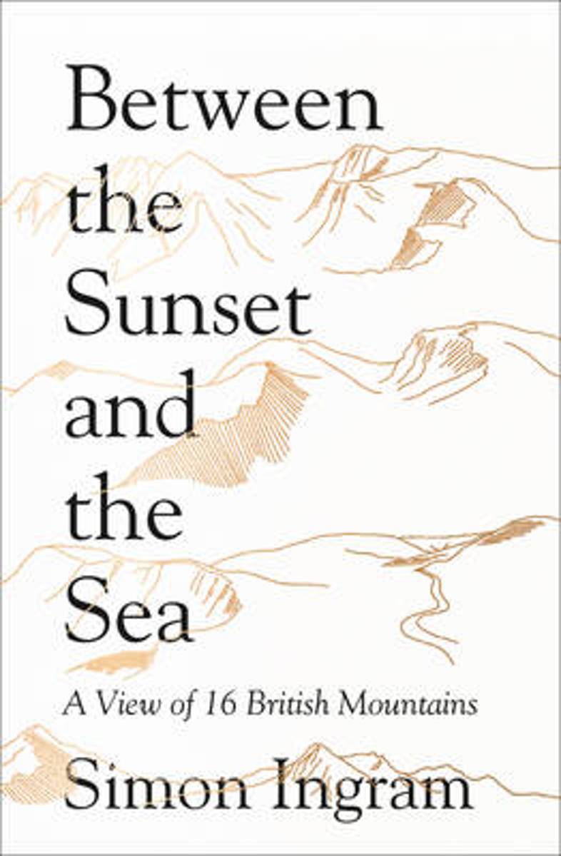
- Between the Sunset and the Sea
- "I watched the mirror for a last view, for now, of the frozen mountains of Glen Coe. As the road bent and the outline of Buachaille Etive Mor slid into sight, I did what I always did, and always would. I felt for that flutter of awe and that indefinable, unmistakable quickening of the pulse.' In the late 18th century, mountains shifted from... Read more
- Also available from:
- Bol.com, Belgium
Bol.com
Belgium
Belgium
- Between the Sunset and the Sea
- "I watched the mirror for a last view, for now, of the frozen mountains of Glen Coe. As the road bent and the outline of Buachaille Etive Mor slid into sight, I did what I always did, and always would. I felt for that flutter of awe and that indefinable, unmistakable quickening of the pulse.' In the late 18th century, mountains shifted from... Read more
Bol.com
Netherlands
Netherlands
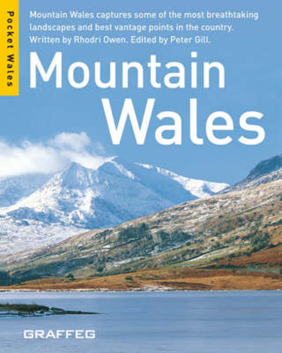
- Mountains Wales
- There are 19 mountain ranges packed within Wales modest 7,722 square miles, amounting to hundreds of peaks some well-trodden such as Snowdon, the highest mountain in England and Wales, while others are unspoilt and waiting to be discovered. With powerful images and captions, Mountain Wales offers a tantalizing taste of the nation s... Read more
- Also available from:
- Bol.com, Belgium
Bol.com
Belgium
Belgium
- Mountains Wales
- There are 19 mountain ranges packed within Wales modest 7,722 square miles, amounting to hundreds of peaks some well-trodden such as Snowdon, the highest mountain in England and Wales, while others are unspoilt and waiting to be discovered. With powerful images and captions, Mountain Wales offers a tantalizing taste of the nation s... Read more
De Zwerver
Netherlands
2021
Netherlands
2021
- Wandelgids Scotland | Cicerone
- A handbook covering the finest walks, scrambles, climbs and ski tours in Scotland, with its variety of wild landscapes ranging from the Southern Uplands to the great granite plateaus of the Cairngorms and jagged arêtes of the Cuillin hills on the Isle of Skye. All the information the independent mountain lover needs for any activity. Read more
- Also available from:
- Bol.com, Netherlands
- Bol.com, Belgium
- Stanfords, United Kingdom
- The Book Depository, United Kingdom
Bol.com
Netherlands
2013
Netherlands
2013
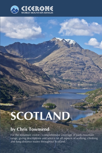
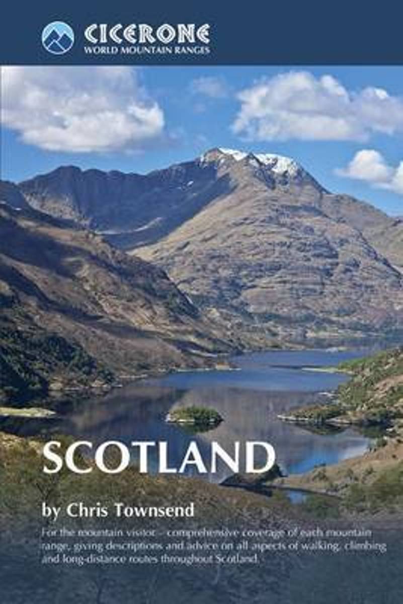
- Scotland
- This book is a resource covering the finest walks, treks and climbs to be found in Scotland, written by an award-winning author. From the rolling hills of the Southern Uplands to the great granite plateaus of the Cairngorms to the jagged peaks of Torridon and the Cuillin hills on the Isle of Skye, Scotland has a rich variety of wild landscapes... Read more
Bol.com
Belgium
2013
Belgium
2013
- Scotland
- This book is a resource covering the finest walks, treks and climbs to be found in Scotland, written by an award-winning author. From the rolling hills of the Southern Uplands to the great granite plateaus of the Cairngorms to the jagged peaks of Torridon and the Cuillin hills on the Isle of Skye, Scotland has a rich variety of wild landscapes... Read more

Stanfords
United Kingdom
2013
United Kingdom
2013
- Scotland Mountain Range Guide
- Cicerone’s Scotland Mountain Range Guide is full of route and practical information for the independent mountain lover, whether with a view to walking, climbing, scrambling or ski touring in terrain such as the Southern Uplands, the great granite plateaus of the Cairngorms and the jagged arêtes of the Cuillin hills on the Isle of... Read more

The Book Depository
United Kingdom
2013
United Kingdom
2013
- Scotland
- A handbook covering the finest walks, scrambles, climbs and ski tours in Scotland, with its variety of wild landscapes ranging from the Southern Uplands to the great granite plateaus of the Cairngorms and jagged arêtes of the Cuillin hills on the Isle of Skye. All the information the independent mountain lover needs for any activity. Read more
Bol.com
Netherlands
Netherlands
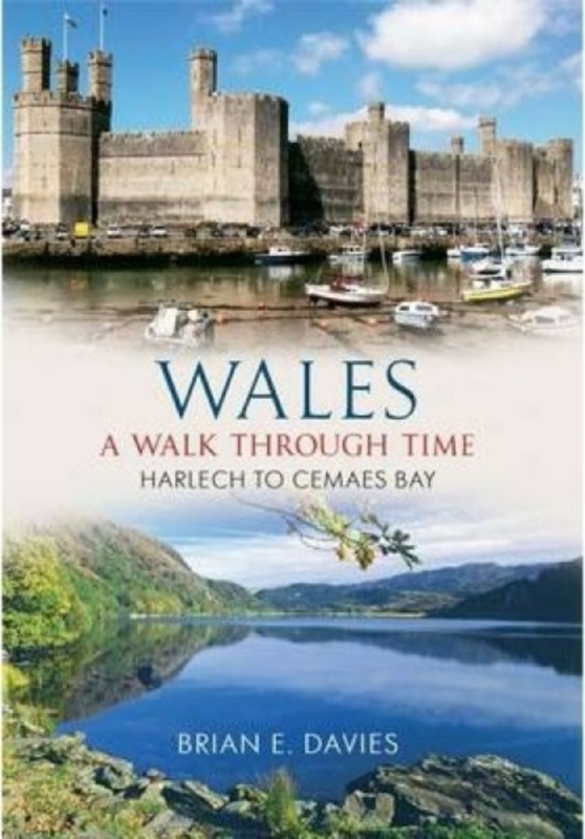
- Wales A Walk Through Time - Harlech to Cemaes Bay
- Using a historical perspective to enrich the journey, Wales: A Walk Through Time describes a unique walk through a remarkable country. Illustrated with a fascinating collection of old photographs and contemporary images, the route has been specially chosen to explore the beauty and history of Wales. In this third and final part, the walk... Read more
- Also available from:
- Bol.com, Belgium
Bol.com
Belgium
Belgium
- Wales A Walk Through Time - Harlech to Cemaes Bay
- Using a historical perspective to enrich the journey, Wales: A Walk Through Time describes a unique walk through a remarkable country. Illustrated with a fascinating collection of old photographs and contemporary images, the route has been specially chosen to explore the beauty and history of Wales. In this third and final part, the walk... Read more
Kaarten
De Zwerver
Netherlands
2021
Netherlands
2021
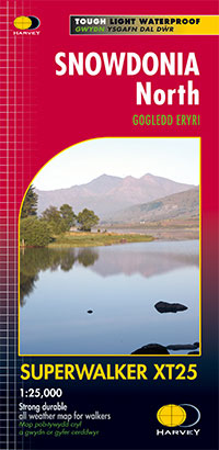
- Wandelkaart Snowdonia Noord /Snowdon,Glyders,Carnedds | Harvey Maps
- The northern part of Snowdonia with Snowdon and the Glyders and Carnedds peaks at 1:25,000 on a waterproof and tear-resistant map from Harvey Map Services in their Superwalker series. The map is double-sided with an overlap between the sides; coverage extends from west of Llanberis eastwards to Betws-y-Coed. Map legend and additional notes are... Read more
- Also available from:
- Stanfords, United Kingdom

Stanfords
United Kingdom
2021
United Kingdom
2021
- Snowdonia North Harvey Superwalker XT25
- The northern part of Snowdonia with Snowdon and the Glyders and Carnedds peaks at 1:25,000 on a light, waterproof and tear-resistant map from Harvey Map Services. The map is double-sided with an overlap between the sides; coverage extends from west of Llanberis eastwards to Betws-y-Coed. Map legend and additional notes are also in Welsh.PLEASE... Read more

De Zwerver
Netherlands
2022
Netherlands
2022
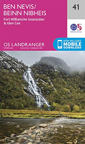
- Wandelkaart Ben Nevis | Harvey Maps
- Ben Nevis with the Mamores and Grey Corries ranges at 1:25,000 on a double-sided, waterproof and tear-resistant map from Harvey Map Services with the peak area shown in greater detail at 1:12,500. The map divides the area north/south, with a good overlap between the sides, extending from Fort William past Loch Treig to Chno Deang, plus south to... Read more
- Also available from:
- Stanfords, United Kingdom

Stanfords
United Kingdom
2022
United Kingdom
2022
- Ben Nevis - Mamores & Grey Corries Harvey Superwalker XT25
- Ben Nevis with the Mamores and Grey Corries ranges at 1:25,000 on a double-sided, waterproof and tear-resistant map from Harvey Map Services in their Superwalker series, with the peak area also shown in greater detail at 1:12,500. The map divides the area north/south, with a good overlap between the sides, extending from Fort William past Loch... Read more
De Zwerver
Netherlands
2021
Netherlands
2021
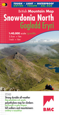
- Wandelkaart Snowdonia Noord | Harvey Maps
- Waterproof mountain map of Snowdonia from Harvey at 1:40,000, with a geological map of the region on the reverse, enlargements of Snowdon and Tryfan, and advice on navigating the region safely.MAIN MAP: Topography is shown through clear altitude shading, spot heights, contours at 15m intervals, and index contours at 75m intervals. A variety of... Read more
- Also available from:
- Stanfords, United Kingdom

Stanfords
United Kingdom
2021
United Kingdom
2021
- Snowdonia North / Gogledd Eryri Harvey British Mountain Map XT40
- Waterproof mountain map of Snowdonia North from Harvey at 1:40,000, with a geological map of the region on the reverse, enlargements of Snowdon and Tryfan, and advice on navigating the region safely.*MAIN MAP:* Topography is shown through clear altitude shading, spot heights, contours at 15m intervals, and index contours at 75m intervals. A... Read more
Bol.com
Netherlands
Netherlands
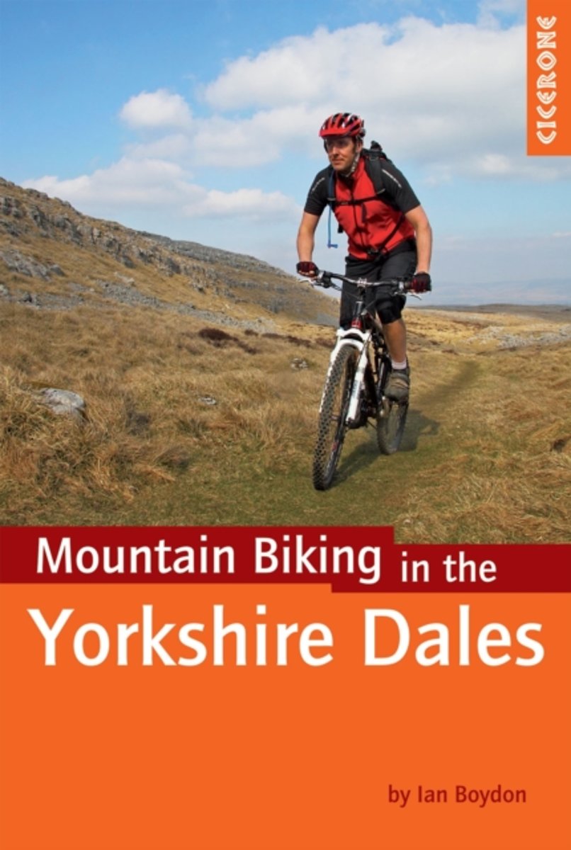
- Mountain Biking in the Yorkshire Dales
- A guidebook of 30 short, medium, long and full-day mountain bike routes across the Yorkshire Dales. The graded circular rides visit all the major dales and include loops around two of the famous Yorkshire Three Peaks - Whernside and Pen-y-ghent. Routes are graded for difficulty and this guidebook gives all the necessary background information.... Read more
- Also available from:
- Bol.com, Belgium
- Stanfords, United Kingdom
Bol.com
Belgium
Belgium
- Mountain Biking in the Yorkshire Dales
- A guidebook of 30 short, medium, long and full-day mountain bike routes across the Yorkshire Dales. The graded circular rides visit all the major dales and include loops around two of the famous Yorkshire Three Peaks - Whernside and Pen-y-ghent. Routes are graded for difficulty and this guidebook gives all the necessary background information.... Read more

Stanfords
United Kingdom
United Kingdom
- Yorkshire Dales Mountain Biking
- Mountain Biking in the Yorkshire Dales guide from Cicerone Press with 30 circular routes suitable for all levels of experience, each presented on a map extract from the OS Landranger series and with a route profile.Route lengths vary from 14km to 58km. For each route the guide indicates what percentage of its length is off road and provides an... Read more

De Zwerver
Netherlands
2018
Netherlands
2018
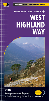
- Wandelkaart West Highland Way | Harvey Maps
- Wandelkaart van de West Highland Way met uitsnedes van de route. Leap forward in technical excellence. Tough, light and 100% wateproof. Compact and light - the map itself weighs just 60gms - a third of the weight of a laminated map, and much less bulky. And you can fold or refold it time and again, or stuff it in your back pocket and it... Read more
- Also available from:
- Bol.com, Netherlands
- Bol.com, Belgium
- Stanfords, United Kingdom

Bol.com
Netherlands
2018
Netherlands
2018
- West Highland Way XT40
- The West Highland Way is 96 miles (153 km) long and links Milngavie (Glasgow) to Fort William. It run's from Scotland's largest city to the foot of its highest mountain, Ben Nevis, through the Loch Lomond and Trossachs National Park.Detailed mapping, full legend in English, French and German. National Grid. Read more
Bol.com
Belgium
2018
Belgium
2018
- West Highland Way XT40
- The West Highland Way is 96 miles (153 km) long and links Milngavie (Glasgow) to Fort William. It run's from Scotland's largest city to the foot of its highest mountain, Ben Nevis, through the Loch Lomond and Trossachs National Park.Detailed mapping, full legend in English, French and German. National Grid. Read more
Stanfords
United Kingdom
2018
United Kingdom
2018
- West Highland Way Harvey National Trail XT40
- The West Highland Way, Scotland’s premier 153km / 96 miles long trail from Milngavie near Glasgow along Loch Lomond to Fort William presented at 1:40,000 on a light, waterproof and tear-resistant map from Harvey Map Services. The whole route is covered by nine overlapping panels, and the map includes small street plan of Milngavie, Tyndrum,... Read more

Bol.com
Netherlands
2014
Netherlands
2014
- Great Glen Way
- This guidebook (fully updated 2014) contains all you need to plan and enjoy a holiday walking or cycling along Scotland's historic Great Glen (77 miles/125 km). The Way runs between Fort William and Inverness, beside Scotland's highest mountain, along the historic Caledonian Canal and past beautiful lochs, including Loch Ness with its famous... Read more
- Also available from:
- Bol.com, Belgium
Bol.com
Belgium
2014
Belgium
2014
- Great Glen Way
- This guidebook (fully updated 2014) contains all you need to plan and enjoy a holiday walking or cycling along Scotland's historic Great Glen (77 miles/125 km). The Way runs between Fort William and Inverness, beside Scotland's highest mountain, along the historic Caledonian Canal and past beautiful lochs, including Loch Ness with its famous... Read more

Bol.com
Netherlands
Netherlands
- Wales Mountain Biking
- Wales Mountain Biking is the 12th title in Vertebrate Publishing's bestselling series of UK mountain biking guidebooks. This book showcases 20 routes in Wales, between 12km and 50km in length, suitable for all levels of mountain bikers. Split into three sections, South Wales, Mid Wales and North Wales, this book includes classic loops in the... Read more
- Also available from:
- Bol.com, Belgium
- Stanfords, United Kingdom
Bol.com
Belgium
Belgium
- Wales Mountain Biking
- Wales Mountain Biking is the 12th title in Vertebrate Publishing's bestselling series of UK mountain biking guidebooks. This book showcases 20 routes in Wales, between 12km and 50km in length, suitable for all levels of mountain bikers. Split into three sections, South Wales, Mid Wales and North Wales, this book includes classic loops in the... Read more

Stanfords
United Kingdom
United Kingdom
- Wales Mountain Biking
- Vertebrate’s guide to mountain biking in Wales covers 20 recommended mountain bike trails, routes and rides ranging from 12km to 50km. The routes themselves have been devised and tested by local riders to help you get the very best out of the Welsh trails.Each route is described with easy-to-follow instructions, information on difficulty,... Read more

Stanfords
United Kingdom
United Kingdom
- National 3 Peaks Challenge Minimaps Set: Ben Nevis, Scafell Pike and Snowdon.
- The three peaks which are part of the National Three Peaks Challenge: Ben Nevis, Scafell Pike and Snowdon shown on handy size, waterproof and tear-resistant extracts from the Ordnance Survey 1:25,000 Explorer series. The three maps are sold together in a presentation wallet which also includes brief descriptions and spaces for recording your... Read more

Stanfords
United Kingdom
United Kingdom
- Penrith and Keswick 1901-1904
- Map No. 90, Penrith and Keswick 1901-1904, in the Cassini Historical Series of old Ordnance Survey mapping of England and Wales at 1:50,000 in a format designed to offer a convenient comparison with the present day coverage from the OS, and most locations in three different editions. Old historical maps have been combined so that the sheet... Read more
Stanfords
United Kingdom
United Kingdom
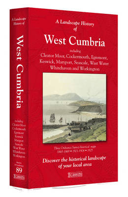
- West Cumbria 1864-1869
- Map No. 89, West Cumbria 1864-1869, in the Cassini Historical Series of old Ordnance Survey mapping of England and Wales at 1:50,000 in a format designed to offer a convenient comparison with the present day coverage from the OS, and most locations in three different editions. Old historical maps have been combined so that the sheet lines... Read more
Stanfords
United Kingdom
United Kingdom
- Snowdon / Yr Wyddfa 1903-1910
- Map No. 115, Snowdon / Yr Wyddfa 1903-1910, in the Cassini Historical Series of old Ordnance Survey mapping of England and Wales at 1:50,000 in a format designed to offer a convenient comparison with the present day coverage from the OS, and most locations in three different editions. Old historical maps have been combined so that the sheet... Read more
Stanfords
United Kingdom
United Kingdom
- Penrith and Keswick 1864-1869
- Map No. 90, Penrith and Keswick 1864-1869, in the Cassini Historical Series of old Ordnance Survey mapping of England and Wales at 1:50,000 in a format designed to offer a convenient comparison with the present day coverage from the OS, and most locations in three different editions. Old historical maps have been combined so that the sheet... Read more
Stanfords
United Kingdom
United Kingdom
- West Cumbria 1864-1925 (3-map set)
- Map No. 89, West Cumbria 1864-1925 (3-map set), in the Cassini Historical Series of old Ordnance Survey mapping of England and Wales at 1:50,000 in a format designed to offer a convenient comparison with the present day coverage from the OS, and most locations in three different editions. Old historical maps have been combined so that the sheet... Read more