
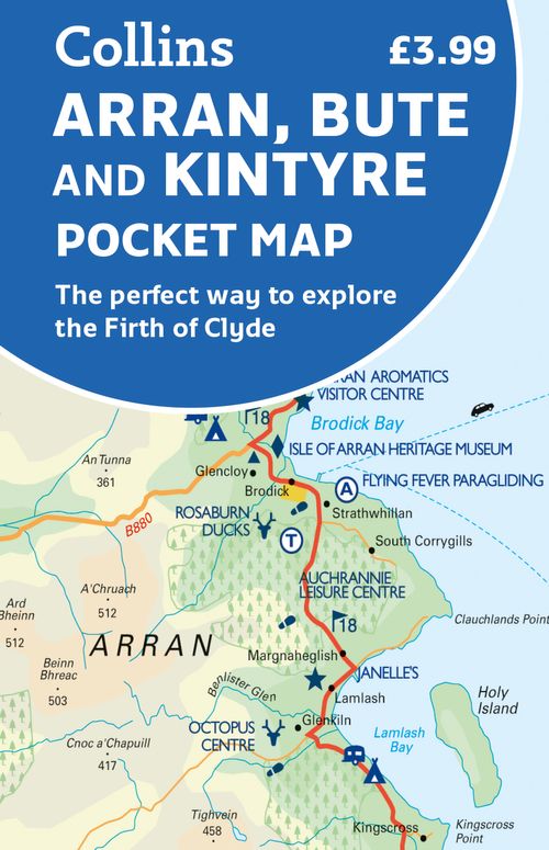
Arran
Beschrijving
Large and mountainous Scottish island in the Firth of Clyde. It is located south of the Inner Hebrides, and is not a part of this island group. Arran is good for walking. Apart from the Coastal Path, many inland hikes can be made.
Paden in deze regio
Links
Feiten
Verslagen
Gidsen en kaarten
Overnachting
Organisaties
Reisorganisaties
GPS
Anders
Boeken
De Zwerver
Netherlands
Netherlands
- Also available from:
- Stanfords, United Kingdom

Stanfords
United Kingdom
United Kingdom
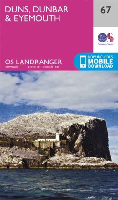
- Duns, Dunbar & Eyemouth OS Landranger Map 67 (paper)
- Paper version of map No. 67 from the Ordnance Survey’s Landranger series at 1:50,000, with contoured and GPS compatible topographic mapping plus tourist information.MOBILE DOWNLOADS: As well as the physical edition of the map, each Landranger title now includes a code for downloading after purchase its digital version onto your smartphone or... Read more
De Zwerver
Netherlands
Netherlands
- Also available from:
- Stanfords, United Kingdom

Stanfords
United Kingdom
United Kingdom
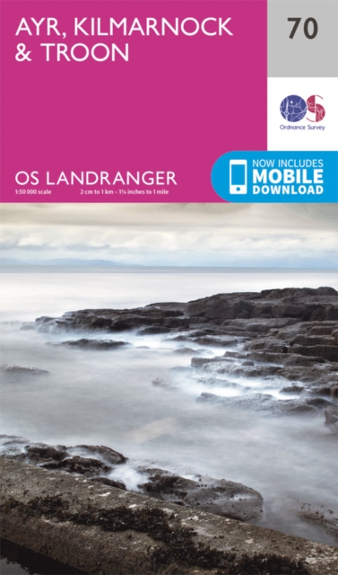
- Ayr, Kilmarnock & Troon OS Landranger Map 70 (paper)
- Paper version of map No. 70 from the Ordnance Survey’s Landranger series at 1:50,000, with contoured and GPS compatible topographic mapping plus tourist information.MOBILE DOWNLOADS: As well as the physical edition of the map, each Landranger title now includes a code for downloading after purchase its digital version onto your smartphone or... Read more
De Zwerver
Netherlands
Netherlands
- Also available from:
- Stanfords, United Kingdom

Stanfords
United Kingdom
United Kingdom
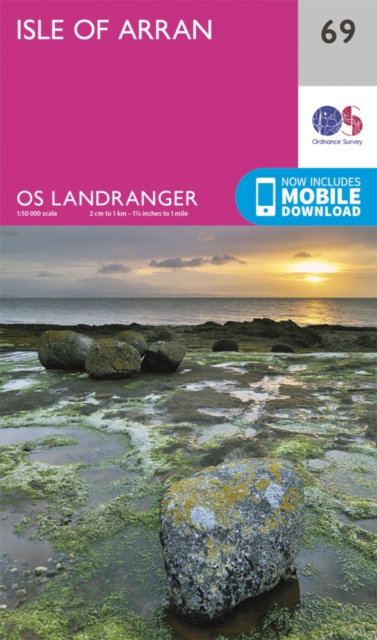
- Isle of Arran OS Landranger Map 69 (paper)
- Paper version of map No. 69 from the Ordnance Survey’s Landranger series at 1:50,000, with contoured and GPS compatible topographic mapping plus tourist information.MOBILE DOWNLOADS: As well as the physical edition of the map, each Landranger title now includes a code for downloading after purchase its digital version onto your smartphone or... Read more
De Zwerver
Netherlands
Netherlands
- Also available from:
- Stanfords, United Kingdom

Stanfords
United Kingdom
United Kingdom
- Dumfries & Castle Douglas Landranger Map 84 (paper)
- Paper version of map No. 84 from the Ordnance Survey’s Landranger series at 1:50,000, with contoured and GPS compatible topographic mapping plus tourist information.MOBILE DOWNLOADS: As well as the physical edition of the map, each Landranger title now includes a code for downloading after purchase its digital version onto your smartphone or... Read more
De Zwerver
Netherlands
Netherlands
- Also available from:
- Stanfords, United Kingdom

Stanfords
United Kingdom
United Kingdom
- Jura & Scarba OS Explorer Active Map 355 (waterproof)
- The islands of Jura and Scarba on a detailed topographic and GPS compatible map No. 355, waterproof version, from the Ordnance Survey’s 1:25,000 Explorer series. MOBILE DOWNLOADS: this title and all the other OS Explorer maps include a code for downloading after purchase the digital version onto your smartphone or tablet for viewing on the OS... Read more
De Zwerver
Netherlands
2015
Netherlands
2015
- Also available from:
- Stanfords, United Kingdom

Stanfords
United Kingdom
2015
United Kingdom
2015
- Moffat & St Mary`s Loch - Megget Reservoir OS Explorer Map 330 (paper)
- Moffat, St Mary`s Loch and Megget Reservoir area on a detailed topographic and GPS compatible map No. 330, paper version, from the Ordnance Survey’s 1:25,000 Explorer series. MOBILE DOWNLOADS: this title and all the other OS Explorer maps include a code for downloading after purchase the digital version onto your smartphone or tablet for... Read more
De Zwerver
Netherlands
Netherlands
- Also available from:
- Stanfords, United Kingdom

Stanfords
United Kingdom
United Kingdom
- Peebles, Galashiels, Selkirk & Tweed Valley OS Landranger Map 73 (paper)
- Paper version of map No. 73 from the Ordnance Survey’s Landranger series at 1:50,000, with contoured and GPS compatible topographic mapping plus tourist information.MOBILE DOWNLOADS: As well as the physical edition of the map, each Landranger title now includes a code for downloading after purchase its digital version onto your smartphone or... Read more
Bol.com
Netherlands
Netherlands
- Ireland
- This comprehensive guide covers all the regions of Ireland--from the raw, rocky coastline of County Cork and the vibrant city of Belfast to the wild mountain scenery of Connacht and the windswept Arran islands. The guide captures the contrasts at the heart of modern Ireland--a place that offers a lively cultural scene and all the luxuries the... Read more
- Also available from:
- Bol.com, Belgium
Bol.com
Belgium
Belgium
- Ireland
- This comprehensive guide covers all the regions of Ireland--from the raw, rocky coastline of County Cork and the vibrant city of Belfast to the wild mountain scenery of Connacht and the windswept Arran islands. The guide captures the contrasts at the heart of modern Ireland--a place that offers a lively cultural scene and all the luxuries the... Read more
Bol.com
Netherlands
Netherlands
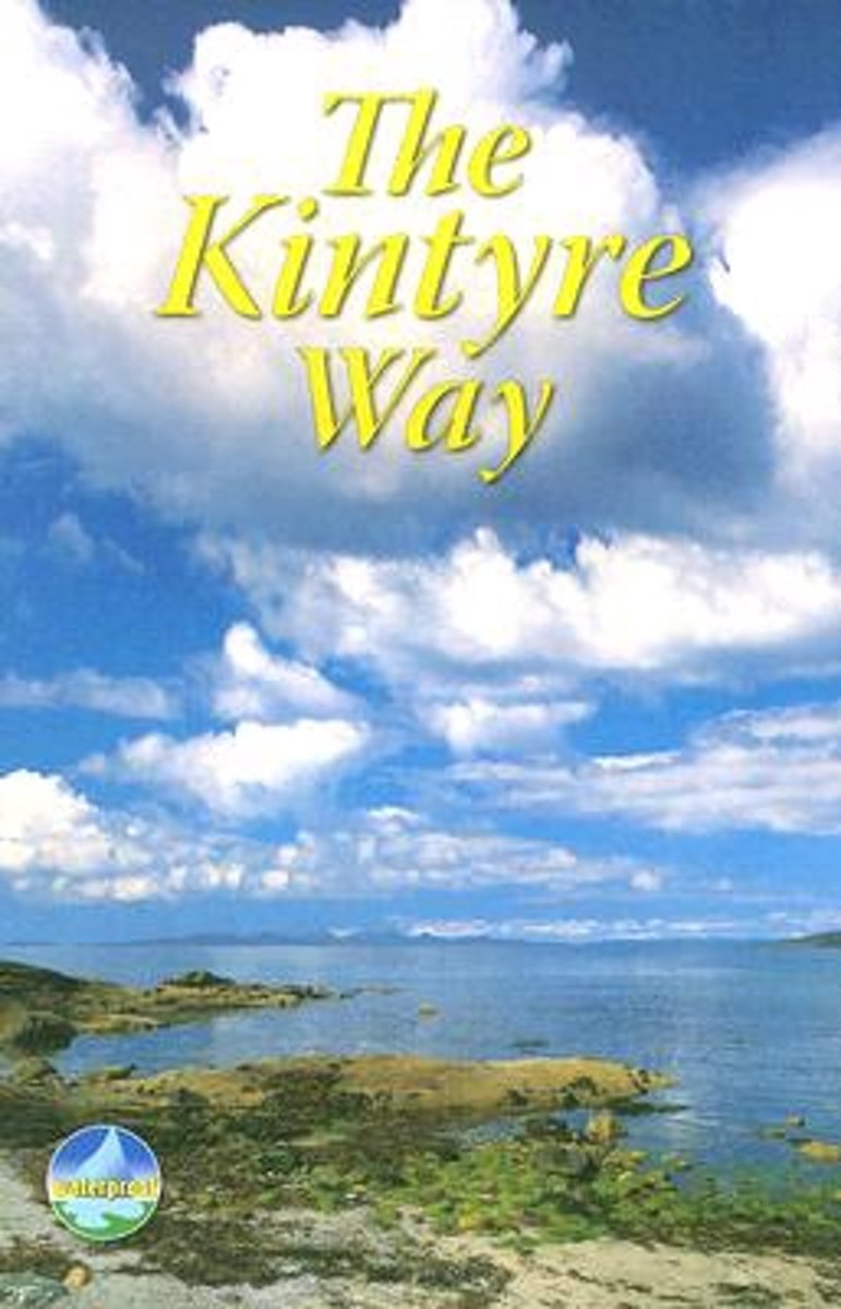
- Kintyre Way
- This fully waymarked trail runs for 89 miles southward from the beautiful natural harbour of Tarbert to Dunaverty, near the Mull of Kintyre. Criss-crossing the entire peninsula, you pass castles, abbeys and prehistoric remains, sometimes walking along rugged coastline, sometimes high on forestry tracks with glorious views over Arran, the Firth... Read more
- Also available from:
- Bol.com, Belgium
Bol.com
Belgium
Belgium
- Kintyre Way
- This fully waymarked trail runs for 89 miles southward from the beautiful natural harbour of Tarbert to Dunaverty, near the Mull of Kintyre. Criss-crossing the entire peninsula, you pass castles, abbeys and prehistoric remains, sometimes walking along rugged coastline, sometimes high on forestry tracks with glorious views over Arran, the Firth... Read more
Bol.com
Netherlands
2016
Netherlands
2016
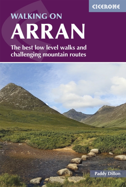
- Walking on Arran
- The 45 walking routes in this Isle of Arran guidebook range from easy 3km (2 miles) nature trails to long arduous mountain routes with scrambles (up to 32km) providing thorough coverage of Arran, including the ascent of Goat Fell and nearby Holy Isle. Most routes are 10km to 15km long but many give opportunities to create longer cross island walks. Read more
- Also available from:
- Bol.com, Belgium
- Stanfords, United Kingdom
- The Book Depository, United Kingdom
Bol.com
Belgium
2016
Belgium
2016
- Walking on Arran
- The 45 walking routes in this Isle of Arran guidebook range from easy 3km (2 miles) nature trails to long arduous mountain routes with scrambles (up to 32km) providing thorough coverage of Arran, including the ascent of Goat Fell and nearby Holy Isle. Most routes are 10km to 15km long but many give opportunities to create longer cross island walks. Read more

Stanfords
United Kingdom
2016
United Kingdom
2016
- Isle of Arran Walking
- This guidebook presents a selection of 45 day walks on the popular and accessible Isle of Arran. The routes are between 2 miles (3km) and 20 miles (32km) in length, ranging in difficulty from easy waymarked forest trails to more arduous mountain walks, exposed ridge routes and scrambles. The book includes both linear and circular walks, and... Read more

The Book Depository
United Kingdom
2016
United Kingdom
2016
- Walking on Arran
- The best low level walks and challenging mountain routes Read more
Bol.com
Netherlands
Netherlands
- Are We Having Fun Yet?
- P.4 A walk through Scotland's 'Wild West'P.22 Cape Wrath TrailP.25 A trip to Glen Scaddle.P.41 Beinn a'Bha'ach Ard- 3 SHillers knackered.P.51 Barrisdale: back to the bog.P.69 Arran: Goatman goes back to his Roots.P.72 Arkle.P.75 Highlander mountain marathon.....an epic and a half.P.77 Ben Aden: Hill of the Face.P.87 Flowerdale Corbetts.P.101... Read more
- Also available from:
- Bol.com, Belgium
Bol.com
Belgium
Belgium
- Are We Having Fun Yet?
- P.4 A walk through Scotland's 'Wild West'P.22 Cape Wrath TrailP.25 A trip to Glen Scaddle.P.41 Beinn a'Bha'ach Ard- 3 SHillers knackered.P.51 Barrisdale: back to the bog.P.69 Arran: Goatman goes back to his Roots.P.72 Arkle.P.75 Highlander mountain marathon.....an epic and a half.P.77 Ben Aden: Hill of the Face.P.87 Flowerdale Corbetts.P.101... Read more
Bol.com
Netherlands
2007
Netherlands
2007
- The Kintyre Way
- The Kintyre Way opened in 2006 and is a fully waymarked trail running for 89 miles (142 km) southward from the beautiful natural harbour of Tarbert to Dunaverty, near the Mull of Kintyre. Criss-crossing the entire peninsula, you pass castles, abbeys and prehistoric remains, sometimes walking along rugged coastline, sometimes high on forestry... Read more
- Also available from:
- Bol.com, Belgium
Bol.com
Belgium
2007
Belgium
2007
- The Kintyre Way
- The Kintyre Way opened in 2006 and is a fully waymarked trail running for 89 miles (142 km) southward from the beautiful natural harbour of Tarbert to Dunaverty, near the Mull of Kintyre. Criss-crossing the entire peninsula, you pass castles, abbeys and prehistoric remains, sometimes walking along rugged coastline, sometimes high on forestry... Read more
Bol.com
Netherlands
Netherlands
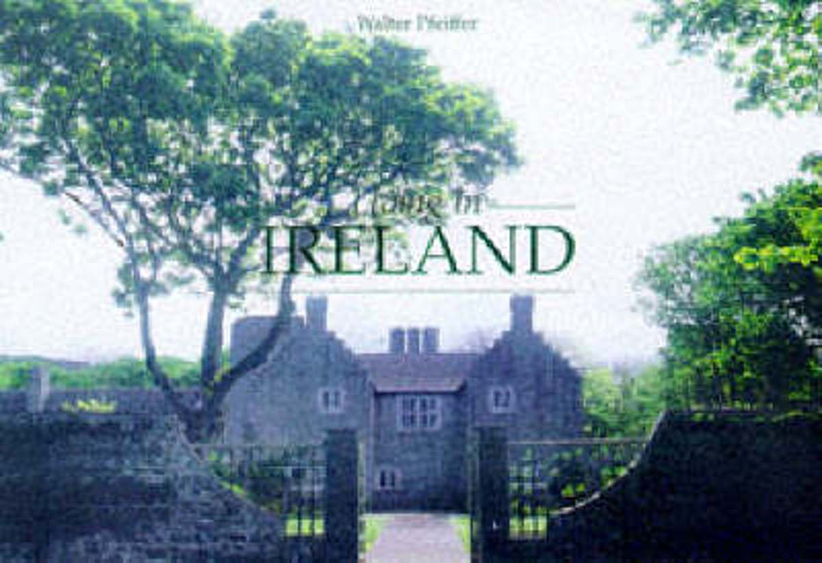
- Living in Ireland
- The Irish way of life-- its music, food, beer, and literature-- has become a familiar export around the world in recent years.But as this delightful book shows nothing can replace the experience of real Irish landscapes discovered. The stunning scenery, elegant town houses, and variety of country manors all contribute to an Irish identity which... Read more
- Also available from:
- Bol.com, Belgium
Bol.com
Belgium
Belgium
- Living in Ireland
- The Irish way of life-- its music, food, beer, and literature-- has become a familiar export around the world in recent years.But as this delightful book shows nothing can replace the experience of real Irish landscapes discovered. The stunning scenery, elegant town houses, and variety of country manors all contribute to an Irish identity which... Read more
De Zwerver
Netherlands
2011
Netherlands
2011
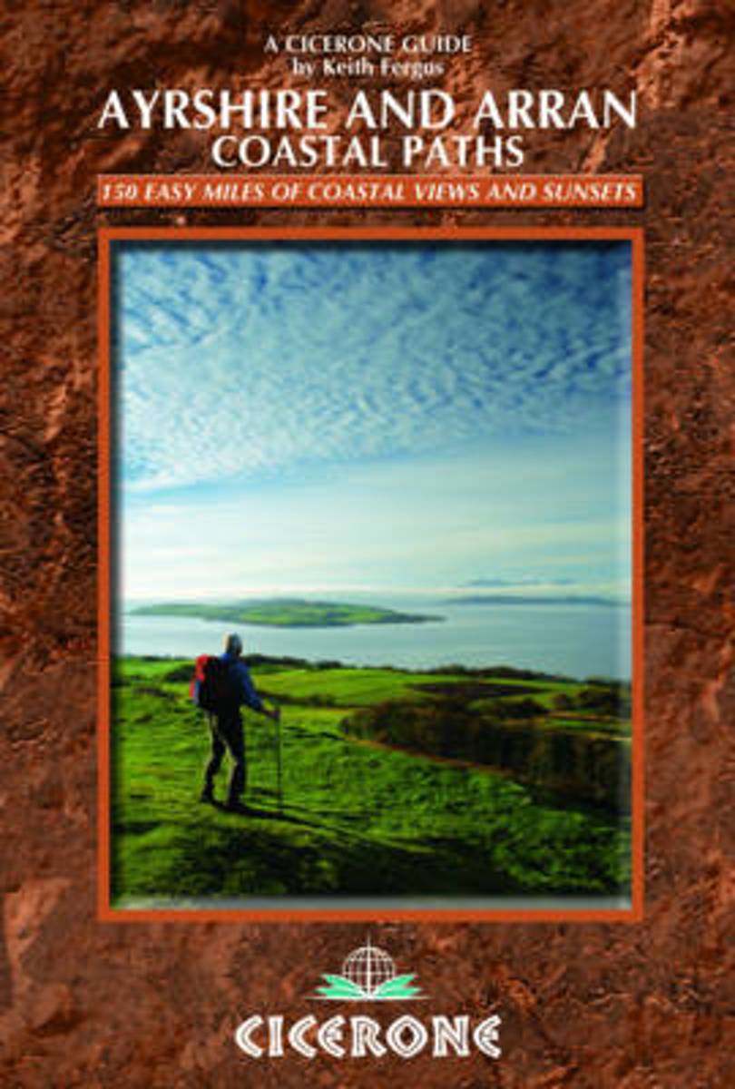
- Wandelgids Ayrshire and Arran Coastal Paths | Cicerone
- This handy guidebook contains route descriptions for 11 day stages across a 150 mile coastline full of beautiful sandy beaches and secluded coves. The terrain varies from beach to open moorland and rocky trails but is suitable for any reasonably fit walker. The Ayrshire and Arran Coastal Paths offers long distance coastal walking at its finest. Read more
- Also available from:
- Bol.com, Netherlands
- Bol.com, Belgium
Bol.com
Netherlands
2011
Netherlands
2011
- The Ayrshire and Arran Coastal Paths
- Guidebook to walking the Ayrshire Coastal Path and Arran Coastal Way on the western coast of Scotland. The Ayrshire Coast Path is a 94-mile route from Glenapp in the south to Skelmorlie in the north. Also described is the Arran Coastal Way, which circumnavigates its way round that island for 60 miles taking in Brodick, Lochranza, Blackwaterfoot... Read more
Bol.com
Belgium
2011
Belgium
2011
- The Ayrshire and Arran Coastal Paths
- Guidebook to walking the Ayrshire Coastal Path and Arran Coastal Way on the western coast of Scotland. The Ayrshire Coast Path is a 94-mile route from Glenapp in the south to Skelmorlie in the north. Also described is the Arran Coastal Way, which circumnavigates its way round that island for 60 miles taking in Brodick, Lochranza, Blackwaterfoot... Read more
Kaarten
De Zwerver
Netherlands
2022
Netherlands
2022

De Zwerver
Netherlands
2021
Netherlands
2021
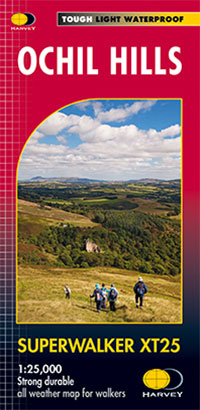
- Wandelkaart Ochil Hills | Harvey Maps
- The Ochil Hills north of Stirling at 1:25,000 on a waterproof and tear-resistant map from Harvey Map Services in their Superwalker series. Coverage extends from the Bridge of Allan in the south-west to Auchterarder in the north. The map is double-sided, with a generous overlap between the sides, and includes three enlargements showing in... Read more
- Also available from:
- Stanfords, United Kingdom
- The Book Depository, United Kingdom

Stanfords
United Kingdom
2021
United Kingdom
2021
- Ochil Hills Harvey Superwalker XT25
- The Ochil Hills north of Stirling at 1:25,000 on a waterproof and tear-resistant map from Harvey Map Services in their Superwalker series. Coverage extends from the Bridge of Allan in the south-west to Auchterarder in the north. The map is double-sided, with a generous overlap between the sides, and includes three enlargements showing in... Read more

The Book Depository
United Kingdom
2021
United Kingdom
2021
- Ochil Hills
- The Ochil Hills north of Stirling at 1:25,000 on a waterproof and tear-resistant map from Harvey Map Services in their Superwalker series. Coverage extends from the Bridge of Allan in the south-west to Auchterarder in the north. The map is double-sided, with a generous overlap between the sides, and includes three enlargements showing in... Read more
De Zwerver
Netherlands
2018
Netherlands
2018
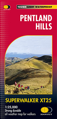
- Wandelkaart Pentland Hills | Harvey Maps
- Pentland Hills on the outskirts of Edinburgh at 1:25,000 on a waterproof and tear-resistant map from Harvey Map Services in their Superwalker series. The map is orientated with north-west at the top to provide continuous coverage of the Pentlands on one handy size sheet.Maps in Harvey Read more
- Also available from:
- Stanfords, United Kingdom
- The Book Depository, United Kingdom

Stanfords
United Kingdom
2018
United Kingdom
2018
- Pentland Hills Harvey Superwalker XT25
- Pentland Hills on the outskirts of Edinburgh at 1:25,000 on a waterproof and tear-resistant map from Harvey Map Services in their Superwalker series. The map is orientated with north-west at the top to provide continuous coverage of the Pentlands on one handy size sheet.PLEASE NOTE: this title is also available as a pocket-size Ultramap with... Read more

The Book Depository
United Kingdom
2018
United Kingdom
2018
- Pentland Hills XT25
- Pentland Hills on the outskirts of Edinburgh at 1:25,000 on a waterproof and tear-resistant map from Harvey Map Services in their Superwalker series. The map is orientated with north-west at the top to provide continuous coverage of the Pentlands on one handy size sheet.Maps in Harvey Read more
De Zwerver
Netherlands
Netherlands
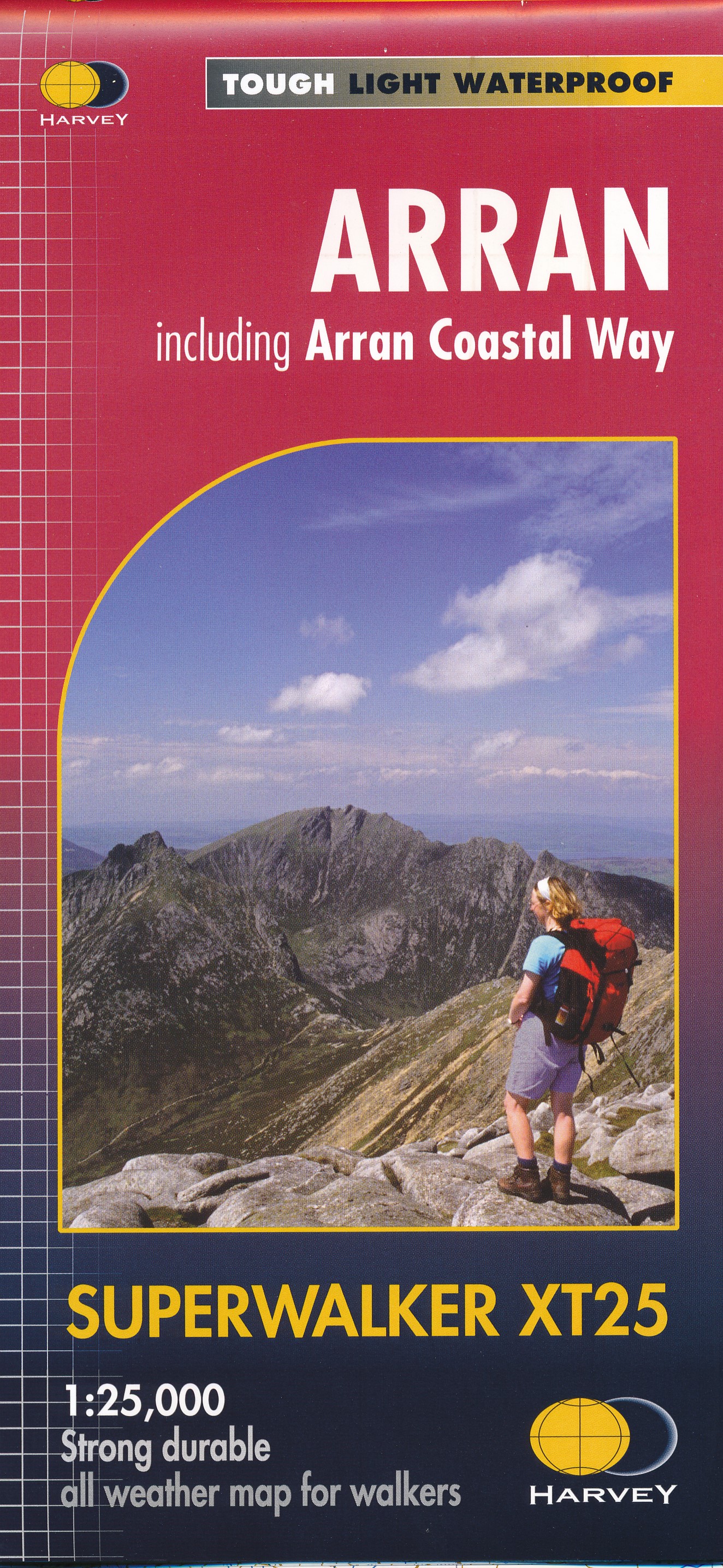
- Wandelkaart Arran including Arran Coastal Way | Harvey Maps
- The Scottish island of Arran at 1:25,000 on a double-sided, a waterproof and tear-resistant, GPS compatible map from Harvey Map Services in their Superwalker series, with highlighting for the Arran Coastal Way and a list of archaeological and historical sites. The map divides the island east/west, with a good overlap between the sides. The... Read more
- Also available from:
- Stanfords, United Kingdom
- The Book Depository, United Kingdom

Stanfords
United Kingdom
United Kingdom
- Arran - incl. Arran Coastal Way Harvey Superwalker XT25 Map
- The Scottish island of Arran at 1:25,000 on a double-sided, a waterproof and tear-resistant, GPS compatible map from Harvey Map Services in their Superwalker series, with highlighting for the Arran Coastal Way and with a list of archaeological and historical sites. The map divides the island east/west, with a good overlap between the sides. The... Read more
