
Berkshire Downs
Beschrijving
Chalk downlands in the south of England. Comparable, but not as well known as the North Downs and South Downs. Some long distance trails cross these hills, and you may find several hiking guides.
Paden in deze regio
Links
Feiten
Verslagen
Gidsen en kaarten
Overnachting
Organisaties
Reisorganisaties
GPS
Anders
Boeken
De Zwerver
Netherlands
2021
Netherlands
2021
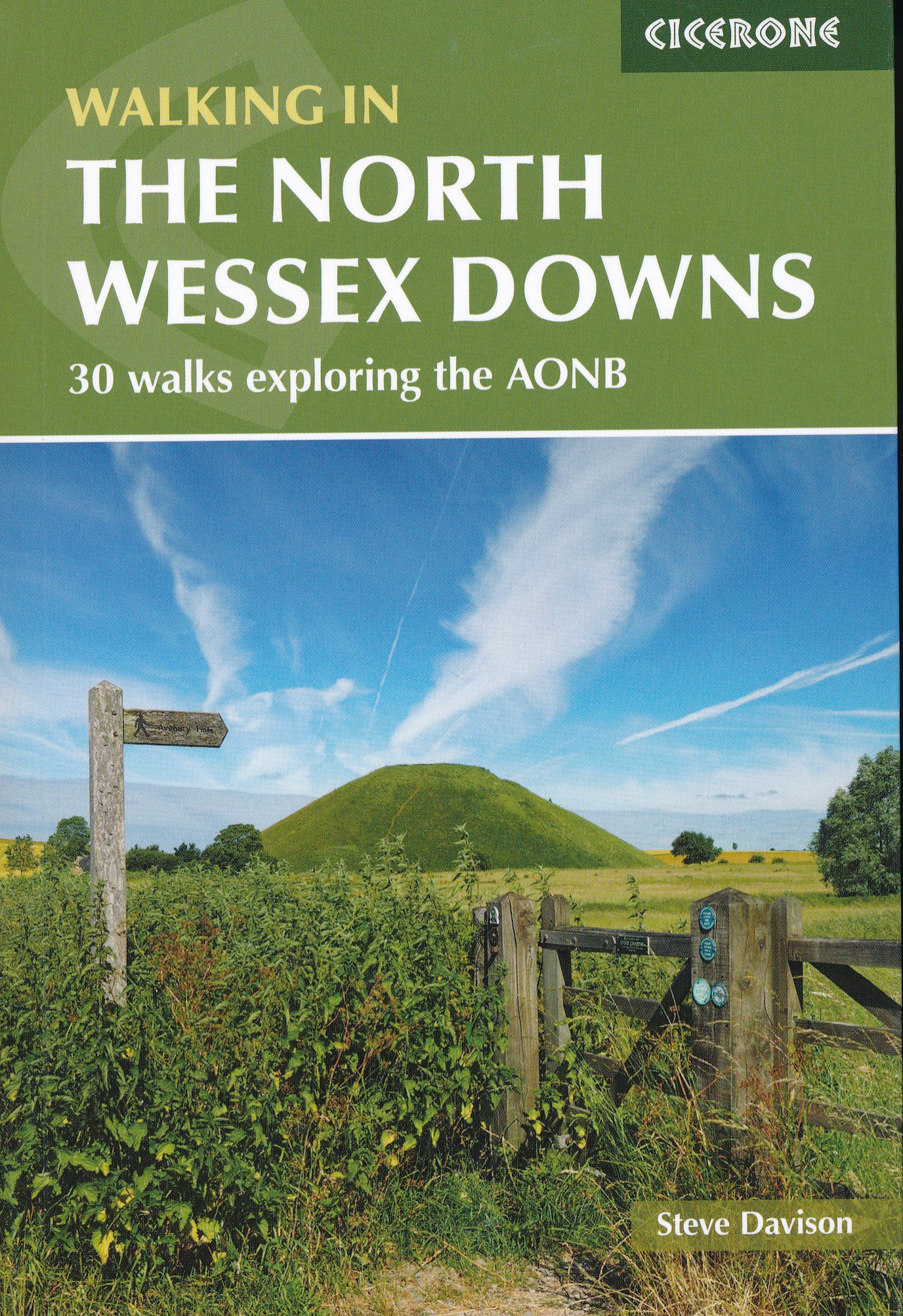
- Wandelgids Walking on the North Wessex Downs | Cicerone
- Guidebook to 30 circular walks in the North Wessex Downs Area of Outstanding Natural Beauty (AONB). The routes, which range from 7 to 21km (4 to 13 miles), take in parts of four counties - Berkshire, Hampshire, Wiltshire and Oxfordshire.The North Wessex Downs are accessible hills rising above the towns and rural plains of southern England and... Read more
- Also available from:
- Stanfords, United Kingdom

Stanfords
United Kingdom
2021
United Kingdom
2021
- Walking in the North Wessex Downs: 30 walks exploring the AONB
- Guidebook to 30 circular walks in the North Wessex Downs Area of Outstanding Natural Beauty (AONB). The routes, which range from 7 to 21km (4 to 13 miles), take in parts of four counties - Berkshire, Hampshire, Wiltshire and Oxfordshire.The North Wessex Downs are accessible hills rising above the towns and rural plains of southern England and... Read more
De Zwerver
Netherlands
2019
Netherlands
2019
De Zwerver
Netherlands
2023
Netherlands
2023
De Zwerver
Netherlands
2008
Netherlands
2008
- Wandelgids Walking in the Thames Valley | Cicerone
- Walking in the Thames Valley describes 25 adventurous day walks in the area covering the North Hampshire Downs, Berkshire and the Southern Chilterns with easy access to London and Reading. The circular walks vary from 10 to 18 miles, including one two-day walk, as well as shorter route options for those who want a less strenuous day out. Read more

De Zwerver
Netherlands
Netherlands
- Also available from:
- Stanfords, United Kingdom

Stanfords
United Kingdom
United Kingdom
- Birmingham, Wolverhampton & The Black Country OS Landranger Map 139 (paper)
- Birmingham with the surrounding area including the Black Country, Wolverhampton, Walsall, Solihull, Stourbridge, Bromsgrove and a section of the E2 European Long-distance Path on a paper version of map No. 139 from the Ordnance Survey’s Landranger series at 1:50,000, with contoured and GPS compatible topographic mapping plus tourist... Read more
De Zwerver
Netherlands
Netherlands
- Also available from:
- Stanfords, United Kingdom

Stanfords
United Kingdom
United Kingdom
- Aylesbury, Leighton Buzzard, Thame & Berkhamsted OS Landranger Map 165 (paper)
- Aylesbury, Leighton Buzzard and Thame area, including Chiltern Hills with part of the Ridgeway, on a paper version of map No. 165 from the Ordnance Survey’s Landranger series at 1:50,000, with contoured and GPS compatible topographic mapping plus tourist information.MOBILE DOWNLOADS: As well as the physical edition of the map, each Landranger... Read more

De Zwerver
Netherlands
Netherlands
- Also available from:
- Stanfords, United Kingdom

Stanfords
United Kingdom
United Kingdom
- Kettering, Corby, Market Harborough & Stamford OS Landranger Map 141 (paper)
- The area around Kettering, Corby, Market Harborough and Stamford, including Rockingham Forest and part of the E2 European Long-distance Path, on a paper version of map No. 141 from the Ordnance Survey’s Landranger series at 1:50,000, with contoured and GPS compatible topographic mapping plus tourist information.MOBILE DOWNLOADS: As well as the... Read more

De Zwerver
Netherlands
Netherlands
- Also available from:
- Stanfords, United Kingdom

Stanfords
United Kingdom
United Kingdom
- Reading & Windsor - Henley-on-Thames & Bracknell OS Landranger Map 175 (paper)
- Reading – Windsor area, including a section of the Thames Path / E2 European Long-distance Path, on a paper version of map No. 175 from the Ordnance Survey’s Landranger series at 1:50,000, with contoured and GPS compatible topographic mapping plus tourist information.MOBILE DOWNLOADS: As well as the physical edition of the map, each Landranger... Read more

Bol.com
Netherlands
Netherlands
- Berkshire a Dog Walker's Guide
- Walking with your dog is a joy and you couldn't hope for a more enthusiastic walking companion. But once you leave your familiar routes there is always the worry of where you might suddenly come across a field of sheep or a busy road, as well as knowing which pubs and cafes would welcome you both. Here is a collection of 20 tried and tested... Read more
- Also available from:
- Bol.com, Belgium
Bol.com
Belgium
Belgium
- Berkshire a Dog Walker's Guide
- Walking with your dog is a joy and you couldn't hope for a more enthusiastic walking companion. But once you leave your familiar routes there is always the worry of where you might suddenly come across a field of sheep or a busy road, as well as knowing which pubs and cafes would welcome you both. Here is a collection of 20 tried and tested... Read more
Bol.com
Netherlands
Netherlands
- Fodor's Essential Great Britain
- Written by locals, Fodor's travel guides have been offering expert advice for all tastes and budgets for 80 years. People travel to Great Britain for the hipness of London, the cozy thatched-roof villages of the Cotswolds, or the wild moors and lochs of Scotland, but all want the most worthwhile destinations and savvy travel tips at a glance.... Read more
- Also available from:
- Bol.com, Belgium
Bol.com
Belgium
Belgium
- Fodor's Essential Great Britain
- Written by locals, Fodor's travel guides have been offering expert advice for all tastes and budgets for 80 years. People travel to Great Britain for the hipness of London, the cozy thatched-roof villages of the Cotswolds, or the wild moors and lochs of Scotland, but all want the most worthwhile destinations and savvy travel tips at a glance.... Read more
Bol.com
Netherlands
Netherlands
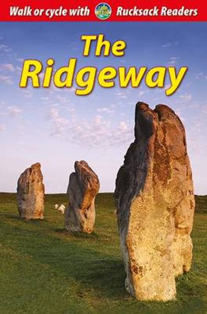
- The Ridgeway
- The Ridgeway National Trail runs for 87 miles (139 km) through south-west England along one of Europe's most ancient pathways. This waterproof guidebook contains detailed directions for walkers and advice for cyclists. It is full of background and practical information, supported by 80 colour photographs and a dropdown map. Read more
- Also available from:
- Bol.com, Belgium
Bol.com
Belgium
Belgium
- The Ridgeway
- The Ridgeway National Trail runs for 87 miles (139 km) through south-west England along one of Europe's most ancient pathways. This waterproof guidebook contains detailed directions for walkers and advice for cyclists. It is full of background and practical information, supported by 80 colour photographs and a dropdown map. Read more

Bol.com
Netherlands
Netherlands
- South East Mountain Biking
- South East Mountain Biking Ridgeway and Chilterns - a compact guide to some of the best mountain biking in Southern England, west of London.The Chilterns and the area either side of the Ridgeway west of London are criss-crossed with byways and bridleways, allowing you to escape onto fine woodland tracks and out into big open chalk country,... Read more
- Also available from:
- Bol.com, Belgium
Bol.com
Belgium
Belgium
- South East Mountain Biking
- South East Mountain Biking Ridgeway and Chilterns - a compact guide to some of the best mountain biking in Southern England, west of London.The Chilterns and the area either side of the Ridgeway west of London are criss-crossed with byways and bridleways, allowing you to escape onto fine woodland tracks and out into big open chalk country,... Read more
Bol.com
Netherlands
Netherlands
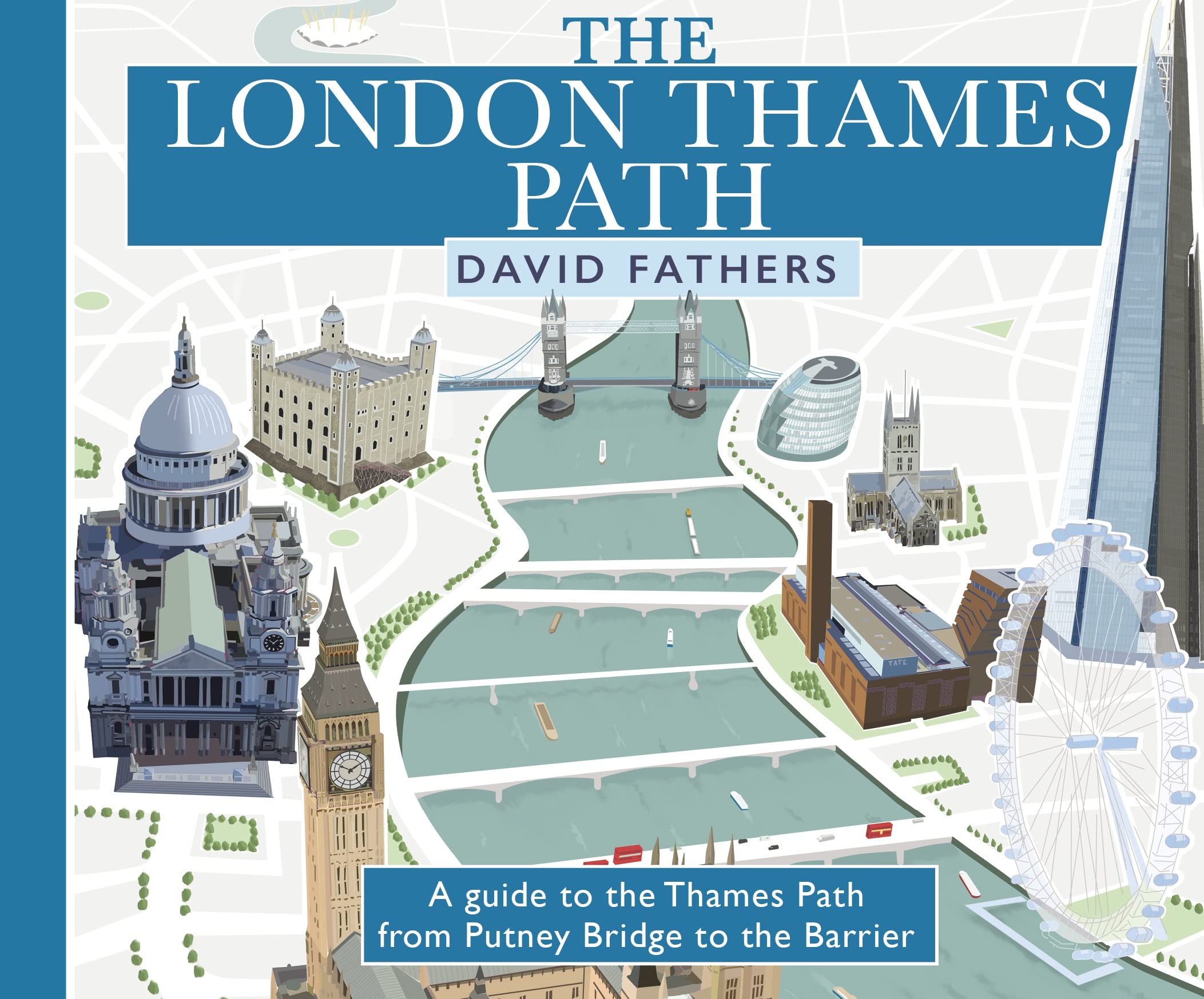
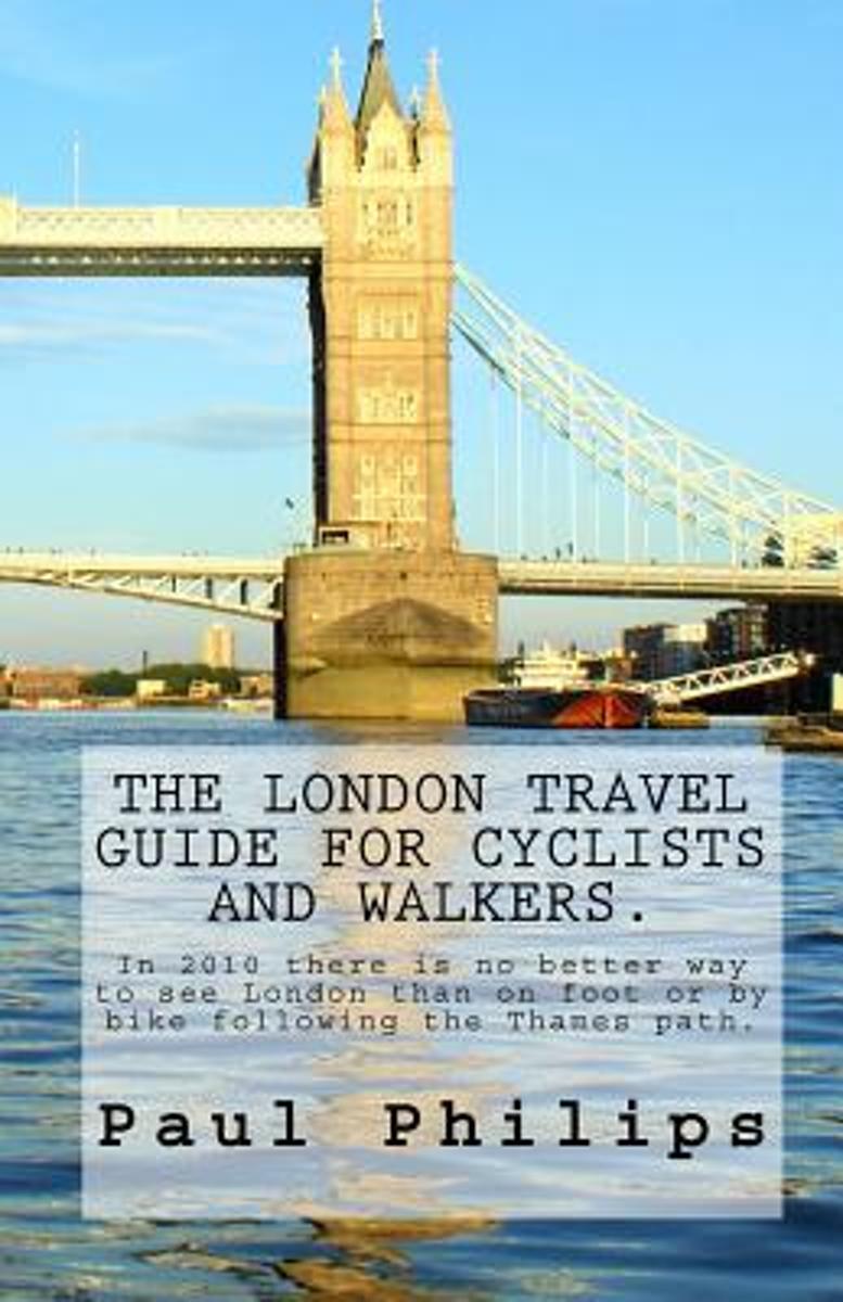
- The London Travel Guide for Cyclists and Walkers.
- This guide - edition 2010 - is for visitors who like to explore this famous City of London by bike or on foot beyond the traditional places of interest.It follows the mostly traffic free Thames Path from the Tower Bridge in London to royal Richmond upon Thames, the home of Mick Jagger. The Thames is the historic main artery of London with many... Read more
- Also available from:
- Bol.com, Belgium
Bol.com
Belgium
Belgium
- The London Travel Guide for Cyclists and Walkers.
- This guide - edition 2010 - is for visitors who like to explore this famous City of London by bike or on foot beyond the traditional places of interest.It follows the mostly traffic free Thames Path from the Tower Bridge in London to royal Richmond upon Thames, the home of Mick Jagger. The Thames is the historic main artery of London with many... Read more
Kaarten

De Zwerver
Netherlands
Netherlands
- Wandelkaart WKE2 La Palma | Freytag & Berndt
- Uitstekende wandelkaart van La Palma, tweezijdig, met ingetekende routes, hoogtelijnen en andere belangrijke informatie. Ook met fietsroutes, bovendien GPS geschikt! Read more
- Also available from:
- Bol.com, Netherlands
- Bol.com, Belgium
- The Book Depository, United Kingdom

Bol.com
Netherlands
Netherlands
- FB WKE2 La Palma
- Dubbelzijdige wandel- en vrijetijdskaart • toeristische tips • stadsplattegronden • fietspaden en mountainbikeroutes • GPS-punten • ski- en langlaufroutes Read more
Bol.com
Belgium
Belgium
- FB WKE2 La Palma
- Dubbelzijdige wandel- en vrijetijdskaart • toeristische tips • stadsplattegronden • fietspaden en mountainbikeroutes • GPS-punten • ski- en langlaufroutes Read more

The Book Depository
United Kingdom
United Kingdom
- La Palma Hiking + Leisure Map 1:30 000
- Uitstekende wandelkaart van La Palma, tweezijdig, met ingetekende routes, hoogtelijnen en andere belangrijke informatie. Ook met fietsroutes, bovendien GPS geschikt! Read more
Bol.com
Netherlands
2017
Netherlands
2017
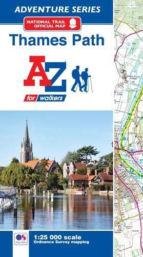
- Thames Path Adventure Atlas
- The A-Z Adventure series features the accuracy and quality of Ordnance Survey`s Explorer mapping in a convenient book, therefore eliminating the need to fold and re-fold a large sheet map to the desired area. OS Explorer is Ordnance Survey`s most detailed mapping at a scale of 1:25 000 showing public rights of way, open access land, national... Read more
- Also available from:
- Bol.com, Belgium
- Stanfords, United Kingdom
Bol.com
Belgium
2017
Belgium
2017
- Thames Path Adventure Atlas
- The A-Z Adventure series features the accuracy and quality of Ordnance Survey`s Explorer mapping in a convenient book, therefore eliminating the need to fold and re-fold a large sheet map to the desired area. OS Explorer is Ordnance Survey`s most detailed mapping at a scale of 1:25 000 showing public rights of way, open access land, national... Read more
Stanfords
United Kingdom
2017
United Kingdom
2017
- Thames Path A-Z Adventure Atlas
- The A-Z Adventure series features the accuracy and quality of Ordnance Survey`s Explorer mapping in a convenient book, therefore eliminating the need to fold and re-fold a large sheet map to the desired area. OS Explorer is Ordnance Survey`s most detailed mapping at a scale of 1:25 000 showing public rights of way, open access land, national... Read more
De Zwerver
Netherlands
Netherlands
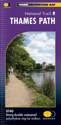
- Wandelkaart Thames Path | Harvey Maps
- Mooie, duidelijke kaart van het Thames Path in Engeland. Geplastificeerd met veel extra informatie en uitsnedes van de route. Thames Path National Trail The Thames Path follows the banks of the river for 184 miles (294KM) from the flood barrier at Woolwich in South East London to Kemble Gloucestershire. It is a long distance walking route, most... Read more
- Also available from:
- Bol.com, Netherlands
- Bol.com, Belgium
- The Book Depository, United Kingdom

Bol.com
Netherlands
Netherlands
- Thames Path
- Mooie, duidelijke kaart van het Thames Path in Engeland. Geplastificeerd met veel extra informatie en uitsnedes van de route. Thames Path National Trail The Thames Path follows the banks of the river for 184 miles (294KM) from the flood barrier at Woolwich in South East London to Kemble Gloucestershire. It is a long distance walking route, most... Read more
Bol.com
Belgium
Belgium
- Thames Path
- Mooie, duidelijke kaart van het Thames Path in Engeland. Geplastificeerd met veel extra informatie en uitsnedes van de route. Thames Path National Trail The Thames Path follows the banks of the river for 184 miles (294KM) from the flood barrier at Woolwich in South East London to Kemble Gloucestershire. It is a long distance walking route, most... Read more

The Book Depository
United Kingdom
United Kingdom
- Thames Path
- Mooie, duidelijke kaart van het Thames Path in Engeland. Geplastificeerd met veel extra informatie en uitsnedes van de route. Thames Path National Trail The Thames Path follows the banks of the river for 184 miles (294KM) from the flood barrier at Woolwich in South East London to Kemble Gloucestershire. It is a long distance walking route, most... Read more

Bol.com
Netherlands
Netherlands
- England Coast Path Camber to Folkestone Adventure Map
- The A-Z Adventure Series of maps combines the best of OS and A-Z, creating the perfect companion for walkers, off-road cyclists, horse riders and anyone wishing to explore the great outdoors.This official Camber to Folkestone Adventure Map section of the England Coast Path, a new National Trail around England`s coast. More than just a path, it... Read more
- Also available from:
- Bol.com, Belgium
- Stanfords, United Kingdom
Bol.com
Belgium
Belgium
- England Coast Path Camber to Folkestone Adventure Map
- The A-Z Adventure Series of maps combines the best of OS and A-Z, creating the perfect companion for walkers, off-road cyclists, horse riders and anyone wishing to explore the great outdoors.This official Camber to Folkestone Adventure Map section of the England Coast Path, a new National Trail around England`s coast. More than just a path, it... Read more

Stanfords
United Kingdom
United Kingdom
- England Coast Path - Camber to Folkestone Adventure Map
- The A-Z Adventure Series of maps combines the best of OS and A-Z, creating the perfect companion for walkers, off-road cyclists, horse riders and anyone wishing to explore the great outdoors.This official Camber to Folkestone Adventure Map section of the England Coast Path, a new National Trail around England`s coast. More than just a path, it... Read more

Bol.com
Netherlands
Netherlands
- England Coast Path Folkestone to Ramsgate Adventure Map
- The A-Z Adventure Series of maps combines the best of OS and A-Z, creating the perfect companion for walkers, off-road cyclists, horse riders and anyone wishing to explore the great outdoors.This official Folkestone to Ramsgate Adventure Map section of the England Coast Path, a new National Trail around England`s coast. More than just a path,... Read more
- Also available from:
- Bol.com, Belgium
Bol.com
Belgium
Belgium
- England Coast Path Folkestone to Ramsgate Adventure Map
- The A-Z Adventure Series of maps combines the best of OS and A-Z, creating the perfect companion for walkers, off-road cyclists, horse riders and anyone wishing to explore the great outdoors.This official Folkestone to Ramsgate Adventure Map section of the England Coast Path, a new National Trail around England`s coast. More than just a path,... Read more

Stanfords
United Kingdom
United Kingdom
- Cycle Tours Around Oxford
- Oxford has long enjoyed a reputation as one of the most cycle-friendly cities in the country. This spiral-bound guide describes 20 wonderful bike rides in the countryside in a 30-mile radius around the city, exploring the delights of the Cotswolds, the Lambourn Downs and the Chilterns. The book contains 15 rides on networks of quiet lanes... Read more

Stanfords
United Kingdom
United Kingdom
- Luxembourg North
- One of two topographic survey maps of Luxembourg at 1:50,000, with contours at 10-metres intervals and additional relief shading. An overprint highlights long-distance footpaths, including the GR5 (E-2), cycle routes, and various places of interest, including campsites. The map covers an area of approximately 53 x 43 km / 33 x 27 miles. Map... Read more

Stanfords
United Kingdom
United Kingdom
- Luxembourg South
- One of two topographic survey maps of Luxembourg at 1:50,000, with contours at 10-metres intervals and additional relief shading. An overprint highlights long-distance footpaths, including the GR5 (E-2), cycle routes, and various places of interest, including campsites. The map covers an area of approximately 53 x 43 km / 33 x 27 miles. Map... Read more

Stanfords
United Kingdom
United Kingdom
- England Coast Path Adventure Map - Minehead to Brean Down
- The A-Z Adventure Series of maps combines the best of OS and A-Z, creating the perfect companion for walkers, off-road cyclists, horse riders and anyone wishing to explore the great outdoors.This official Minehead to Brean Down Adventure Map covers a 58 mile (93km) section of the England Coast Path, a new National Trail around England`s coast.... Read more

Stanfords
United Kingdom
United Kingdom
- Niagara Falls - Fort Erie - Niagara-on-the-Lake - Grand Island
- Double-sided, indexed street plan at 1:28,000 of Niagara Falls area on both sides of the Niagara River, in Canada and USA. Coverage extends north from Niagara Falls to Lake Ontario to include Niagara-on-the-Lake on the Canadian side plus Youngstown, Porter and Lewiston in USA. On the reverse coverage continues southwards to Lake Eire to cover... Read more

De Zwerver
Netherlands
Netherlands
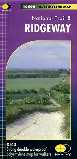
- Wandelkaart - Fietskaart Ridgeway | Harvey Maps
- The Ridgway, a 139km / 87 mile national trail from Overton Hill in Wiltshire to Ivinghoe Beacon in Buckinghamshire, presented at 1:40,000 on a light, waterproof and tear-resistant map from Harvey Map Services. The route is shown on six overlapping panels.Maps in the Harvey Read more
- Also available from:
- Stanfords, United Kingdom
- The Book Depository, United Kingdom
Stanfords
United Kingdom
United Kingdom
- Ridgeway Harvey National Trail XT40
- The Ridgway, a 139km / 87 mile national trail from Overton Hill in Wiltshire to Ivinghoe Beacon in Buckinghamshire, presented at 1:40,000 on a light, waterproof and tear-resistant map from Harvey Map Services. The route is shown on six overlapping panels.Maps in the Harvey’s series covering Great Britain’s national trails and other... Read more

The Book Depository
United Kingdom
United Kingdom