
Black Mountains
Beschrijving
These hills are located in Wales. They belong to the Brecon Beacons National Park, and the Beacons Way crosses them, as does Offa's Dyke Path.
Paden in deze regio
Links
Feiten
Verslagen
Gidsen en kaarten
Overnachting
Organisaties
Reisorganisaties
GPS
Anders
Boeken
De Zwerver
Netherlands
2021
Netherlands
2021
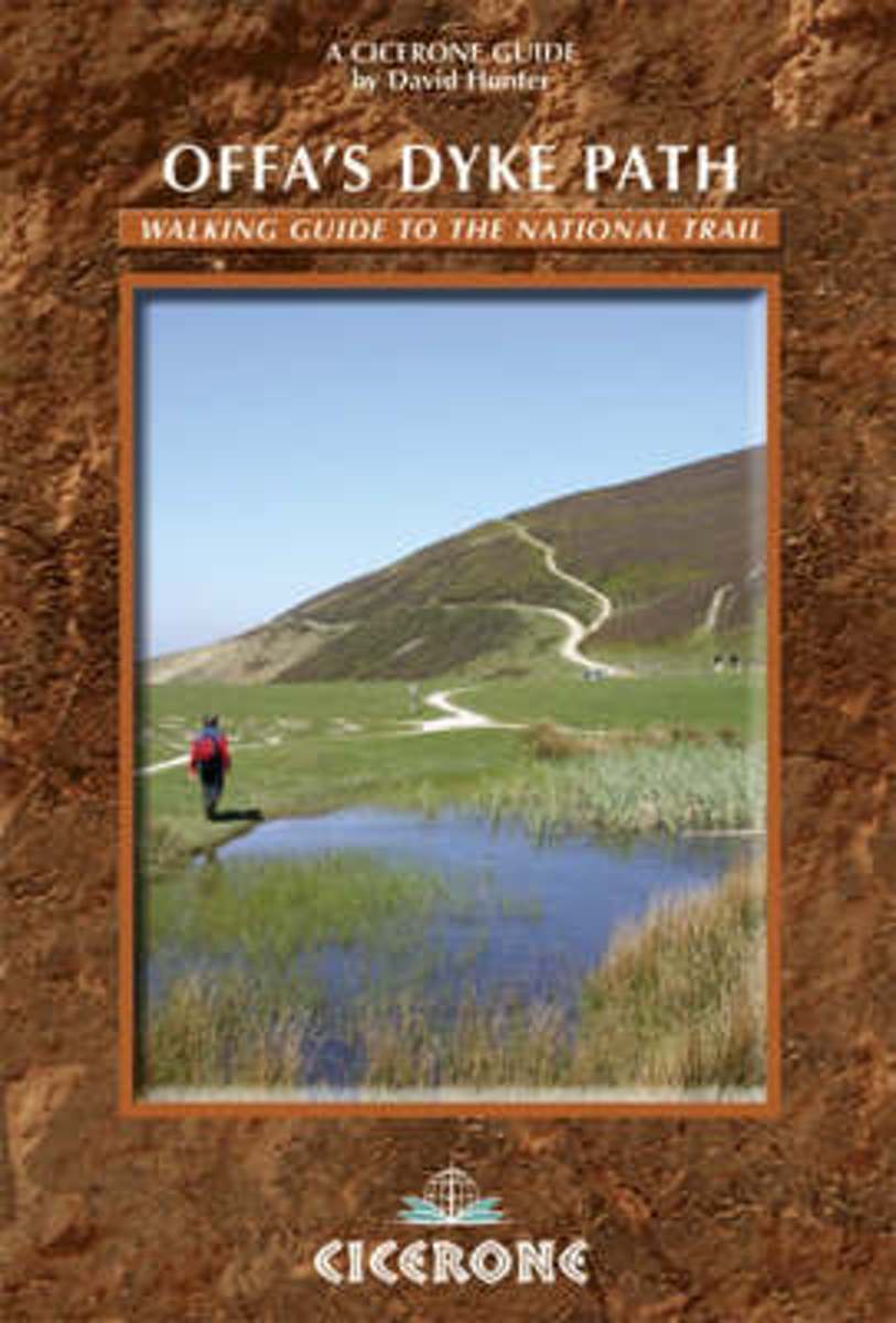
- Wandelgids Offa's Dyke Path (Prestatyn - Chepstow) | Aurum Press
- National Trail Guide Read more
De Zwerver
Netherlands
Netherlands
- Also available from:
- Stanfords, United Kingdom

Stanfords
United Kingdom
United Kingdom
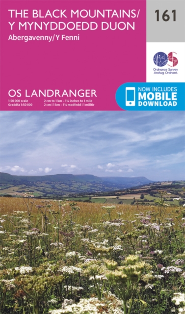
- The Black Mountains - Abergavenny OS Landranger Map 161 (paper)
- The Black Mountains in the Brecon Beacons National Park, including a part of the Offa’s Dyke Path, on a paper version of map No. 161 from the Ordnance Survey’s Landranger series at 1:50,000, with contoured and GPS compatible topographic mapping plus tourist information.MOBILE DOWNLOADS: As well as the physical edition of the map, each... Read more
Bol.com
Netherlands
Netherlands
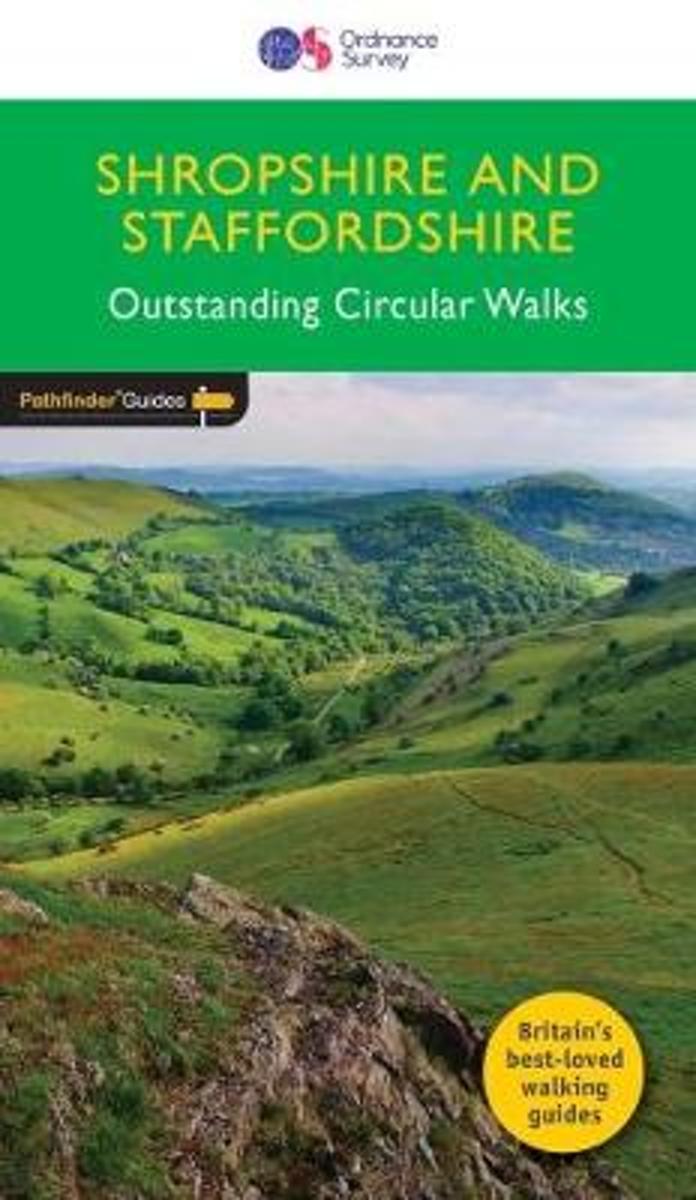
- SHROPSHIRE & STAFFORDSHIRE
- Britain's best loved walking guides brings you a brand new Pathfinder (R) Guide to Shropshire & Staffordshire Walks containing 28 fabulous walks exploring the unspoilt rural landscapes of Shropshire and Staffordshire from the Welsh borders to the fringes of the Peak District, and from the mosses and meres near the Cheshire border to Cannock... Read more
- Also available from:
- Bol.com, Belgium
Bol.com
Belgium
Belgium
- SHROPSHIRE & STAFFORDSHIRE
- Britain's best loved walking guides brings you a brand new Pathfinder (R) Guide to Shropshire & Staffordshire Walks containing 28 fabulous walks exploring the unspoilt rural landscapes of Shropshire and Staffordshire from the Welsh borders to the fringes of the Peak District, and from the mosses and meres near the Cheshire border to Cannock... Read more
Bol.com
Netherlands
Netherlands
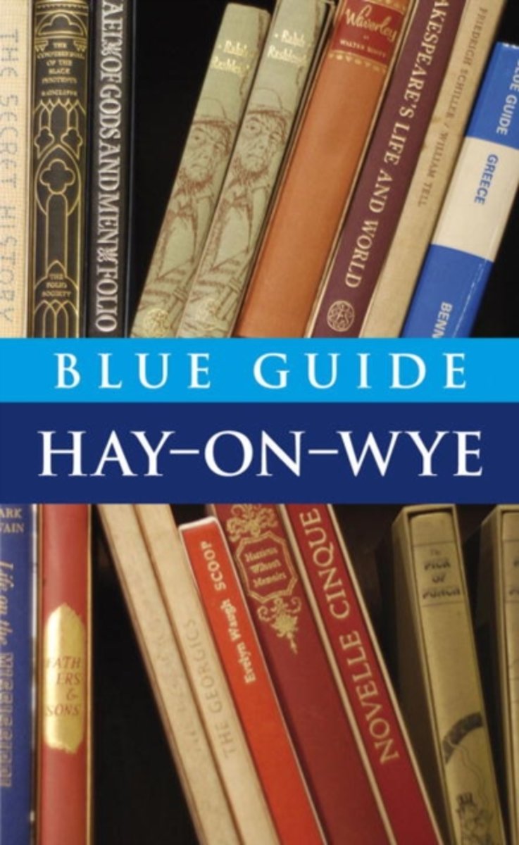
- Blue Guide Hay-on-Wye
- Blue Guides: Complete Cultural Guides -- The only full guidebook treatment of this charming Welsh border town, famous for its second-hand bookstores and annual Book Festival. Meticulously researched and lovingly written, this book contains a wealth of detail on the town's past and present, its architecture and major monuments, including... Read more
- Also available from:
- Bol.com, Belgium
Bol.com
Belgium
Belgium
- Blue Guide Hay-on-Wye
- Blue Guides: Complete Cultural Guides -- The only full guidebook treatment of this charming Welsh border town, famous for its second-hand bookstores and annual Book Festival. Meticulously researched and lovingly written, this book contains a wealth of detail on the town's past and present, its architecture and major monuments, including... Read more
De Zwerver
Netherlands
2016
Netherlands
2016
- Wandelkaart Offa's Dyke Path - Wales | Cicerone
- Map of the 177-mile (283km) Offa's Dyke Path National Trail, between Sedbury (nr Chepstow) and Prestatyn. The trail takes a fortnight to walk, and is suitable for walkers at all levels of experience. This compact booklet of Ordnance Survey 1:25,000 maps shows the full route, providing all of the mapping you need to complete the trail. Read more
- Also available from:
- Bol.com, Netherlands
- Bol.com, Belgium
- Stanfords, United Kingdom
Bol.com
Netherlands
2016
Netherlands
2016
- Offa's Dyke Map Booklet
- All the mapping you need to walk the Offa's Dyke Path National Trail that runs for 177 miles along the English-Welsh border between Sedbury (near Chepstow) and Prestatyn on the north Wales Coast. NOTE An accompanying Cicerone guidebook - Offa's Dyke Path - describes the full route from south to north with lots of other practical and historical... Read more
Bol.com
Belgium
2016
Belgium
2016
- Offa's Dyke Map Booklet
- All the mapping you need to walk the Offa's Dyke Path National Trail that runs for 177 miles along the English-Welsh border between Sedbury (near Chepstow) and Prestatyn on the north Wales Coast. NOTE An accompanying Cicerone guidebook - Offa's Dyke Path - describes the full route from south to north with lots of other practical and historical... Read more

Stanfords
United Kingdom
2016
United Kingdom
2016
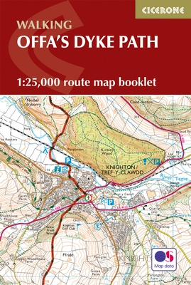
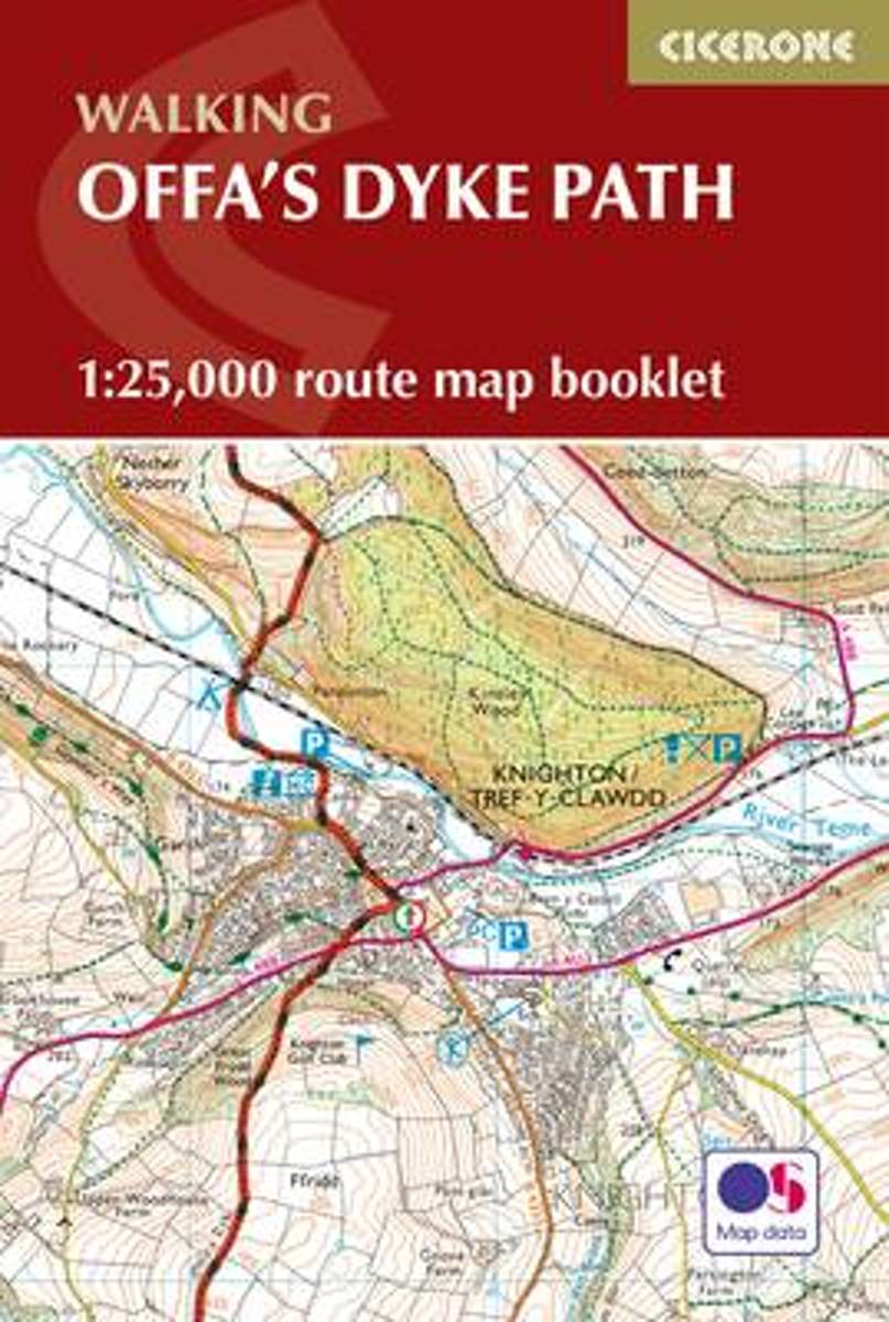
- Offa`s Dyke Path Cicerone Map Booklet
- Offa’s Dyke Path National Trail on mapping at 1:25,000 from the Ordnance Survey’s Explorer series in a pocket-size booklet from Cicerone Press. The 285km / 177-mile trail between Chepstow and Prestatyn is presented with a route profile, plus summaries for each section showing GPS coordinates for the start and finish, distance and approximate... Read more
- Also available from:
- Bol.com, Netherlands
- Bol.com, Belgium
- The Book Depository, United Kingdom
Bol.com
Netherlands
2016
Netherlands
2016
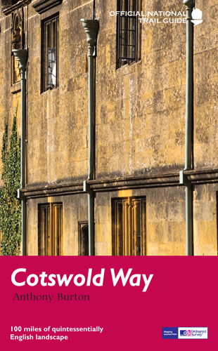
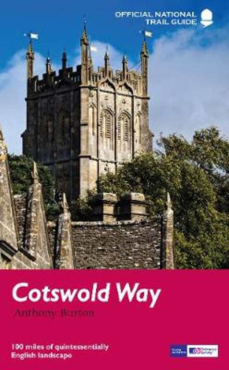
- Cotswold Way
- Following the limestone escarpment on the Western edge of the Cotswolds, the 102 miles of the Cotswold Way take the walker through a quintessentially English landscape as varied as it is beautiful. Starting and finishing among the golden Cotswold stone of Chipping Camden and Bath, and affording stunning prospects of the Malvern Hills, the... Read more
Bol.com
Belgium
2016
Belgium
2016
- Cotswold Way
- Following the limestone escarpment on the Western edge of the Cotswolds, the 102 miles of the Cotswold Way take the walker through a quintessentially English landscape as varied as it is beautiful. Starting and finishing among the golden Cotswold stone of Chipping Camden and Bath, and affording stunning prospects of the Malvern Hills, the... Read more

Bol.com
Netherlands
2010
Netherlands
2010
- Hillwalking in Wales - Vol 2
- The first book in a two-volume series describing walking routes up every 2000-footer in Wales - all 166 of them. The result is not just a guide to the mountains of Snowdonia, but a handbook of over 450 routes covering 21 Welsh mountain ranges - the whale-backed ridges of the Black Mountains, the Brecon Beacons' precipitous escarpments, the... Read more
- Also available from:
- Bol.com, Belgium
- Stanfords, United Kingdom
- The Book Depository, United Kingdom
Bol.com
Belgium
2010
Belgium
2010
- Hillwalking in Wales - Vol 2
- The first book in a two-volume series describing walking routes up every 2000-footer in Wales - all 166 of them. The result is not just a guide to the mountains of Snowdonia, but a handbook of over 450 routes covering 21 Welsh mountain ranges - the whale-backed ridges of the Black Mountains, the Brecon Beacons' precipitous escarpments, the... Read more

Stanfords
United Kingdom
2010
United Kingdom
2010
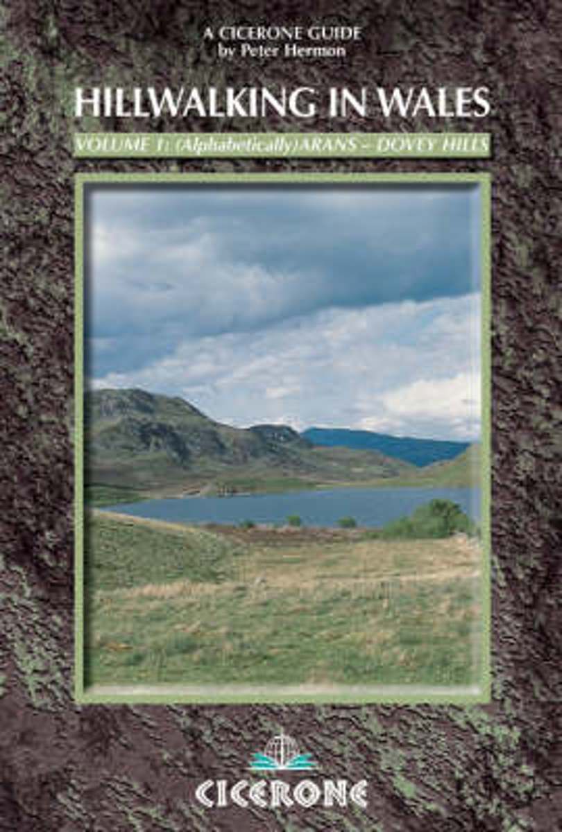
- Wales Hill Walking - Volume 1 - Arans - Dovey Hills
- Hill Walking in Wales- Volume 1 is part of an alphabetically arranged, two-book series of Peter Hermon’s Cicerone guides describing walking routes up every single 2000-footer in Wales. This volume covers the many hills of Wales, taking in the Arans, Arenigs, Berwyns, Black Mountains, Brecon Beacons, Cader Idris, Carneddau, Cwmdeuddwr and Dovey... Read more

The Book Depository
United Kingdom
2010
United Kingdom
2010
- Hillwalking in Wales - Vol 1
- The first of two guidebooks describing walking routes up every 2000-footer in Wales - covers Arans - Dovey hills. The routes - all 166 of them - are arranged alphabetically over the two volumes. Read more
Bol.com
Netherlands
2014
Netherlands
2014
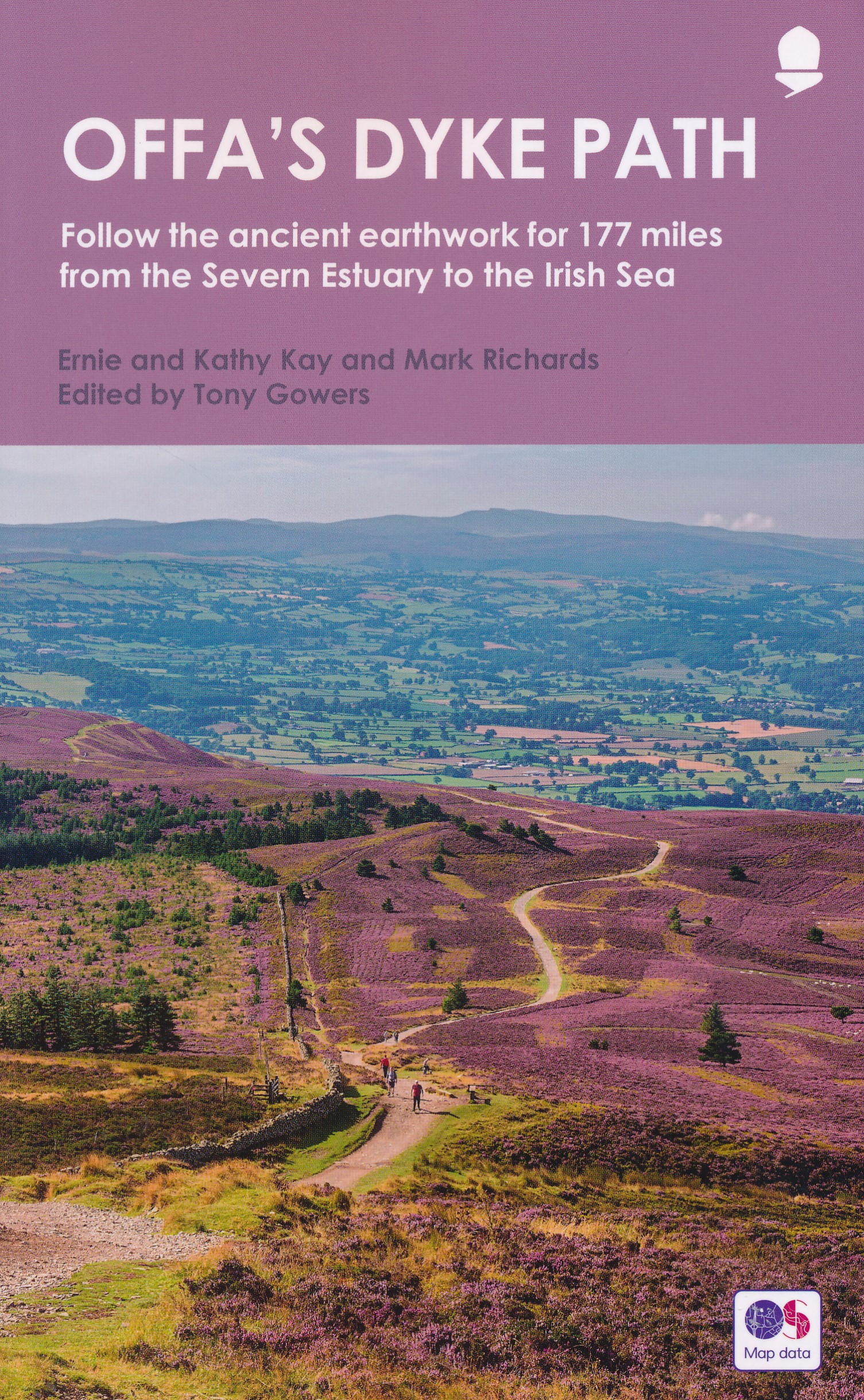
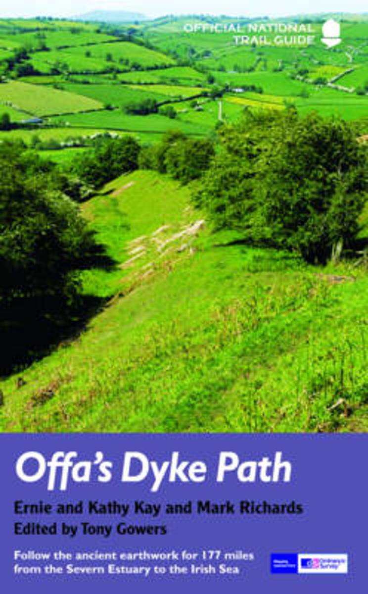
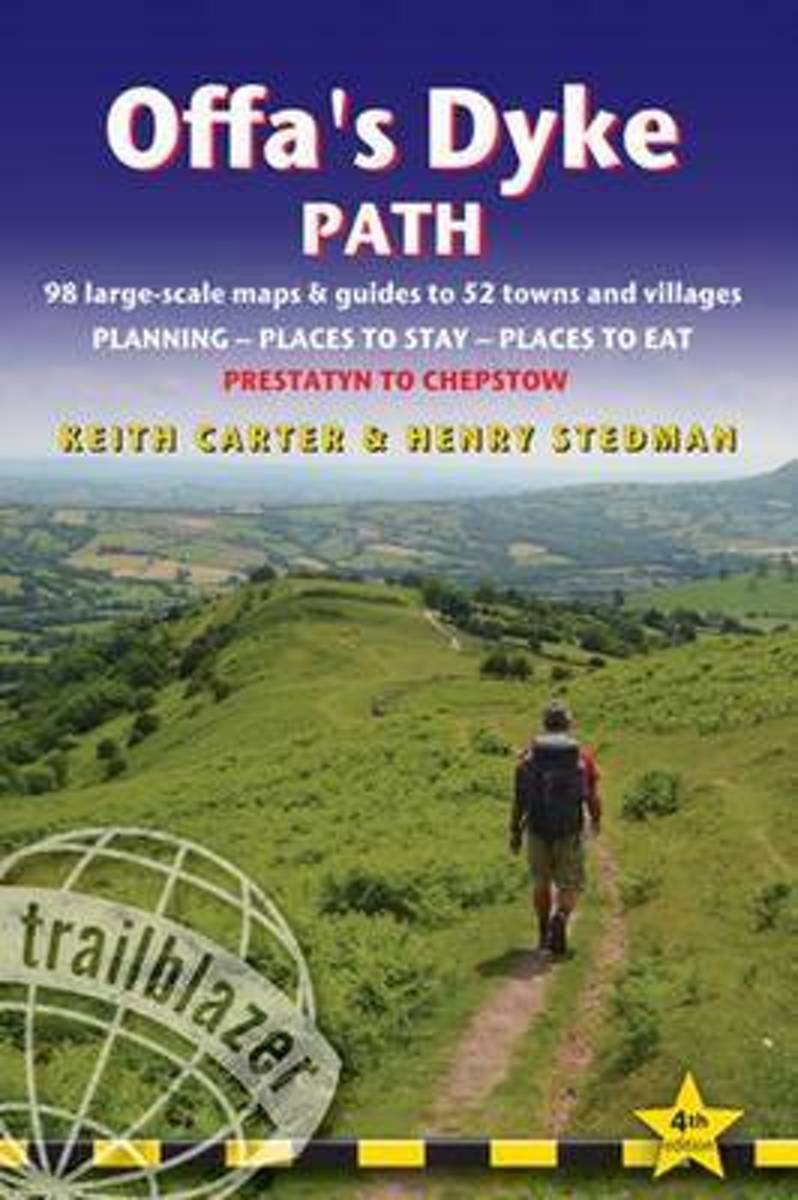
- Offa's Dyke Path
- Offa's Dyke Path (Gogledd Llwybr Clawdd Offa) is the 177-mile National Trail following the ancient earthwork that criss-crosses the border country of modern England and Wales, from the Severn Estuary to the seaside resort of Prestatyn on the Irish Sea. This is the complete, official guide for the long-distance walker or the weekend stroller.... Read more
- Also available from:
- Bol.com, Belgium
Bol.com
Belgium
2014
Belgium
2014
- Offa's Dyke Path
- Offa's Dyke Path (Gogledd Llwybr Clawdd Offa) is the 177-mile National Trail following the ancient earthwork that criss-crosses the border country of modern England and Wales, from the Severn Estuary to the seaside resort of Prestatyn on the Irish Sea. This is the complete, official guide for the long-distance walker or the weekend stroller.... Read more
Bol.com
Netherlands
Netherlands
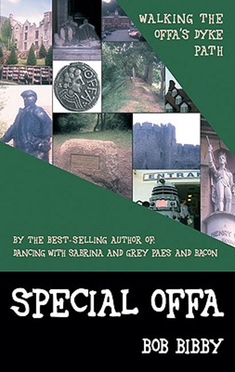
- Special Offa
- Bob Bibby is on his travels again, this time following the line of that mighty earthwork that stretches 177 miles ''from sea to sea'' along the old border between England and Wales?Offa's Dyke, built by the very first self-styled King of the Angles, the fearsome 8th century King Offa. Join Bob on an extended pub crawl as he walks the... Read more
- Also available from:
- Bol.com, Belgium
Bol.com
Belgium
Belgium
- Special Offa
- Bob Bibby is on his travels again, this time following the line of that mighty earthwork that stretches 177 miles ''from sea to sea'' along the old border between England and Wales?Offa's Dyke, built by the very first self-styled King of the Angles, the fearsome 8th century King Offa. Join Bob on an extended pub crawl as he walks the... Read more
Bol.com
Netherlands
Netherlands
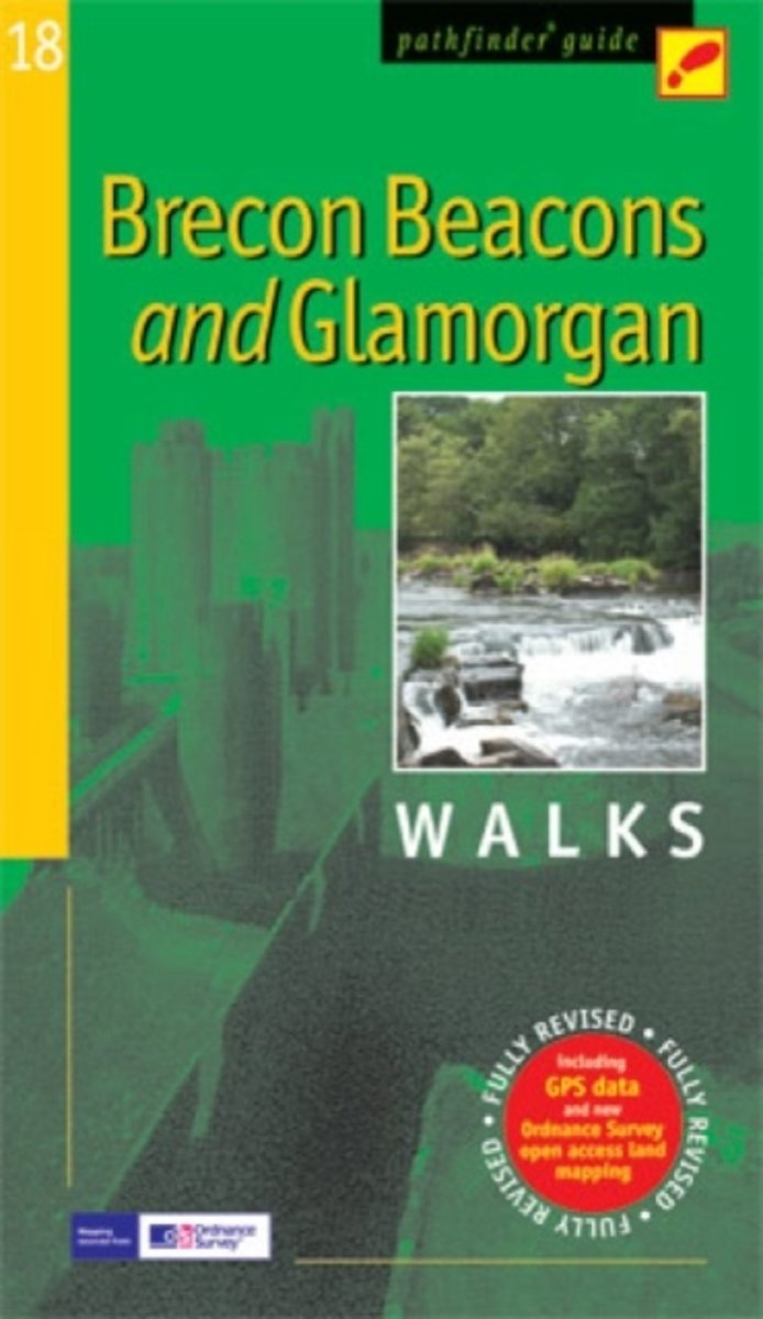
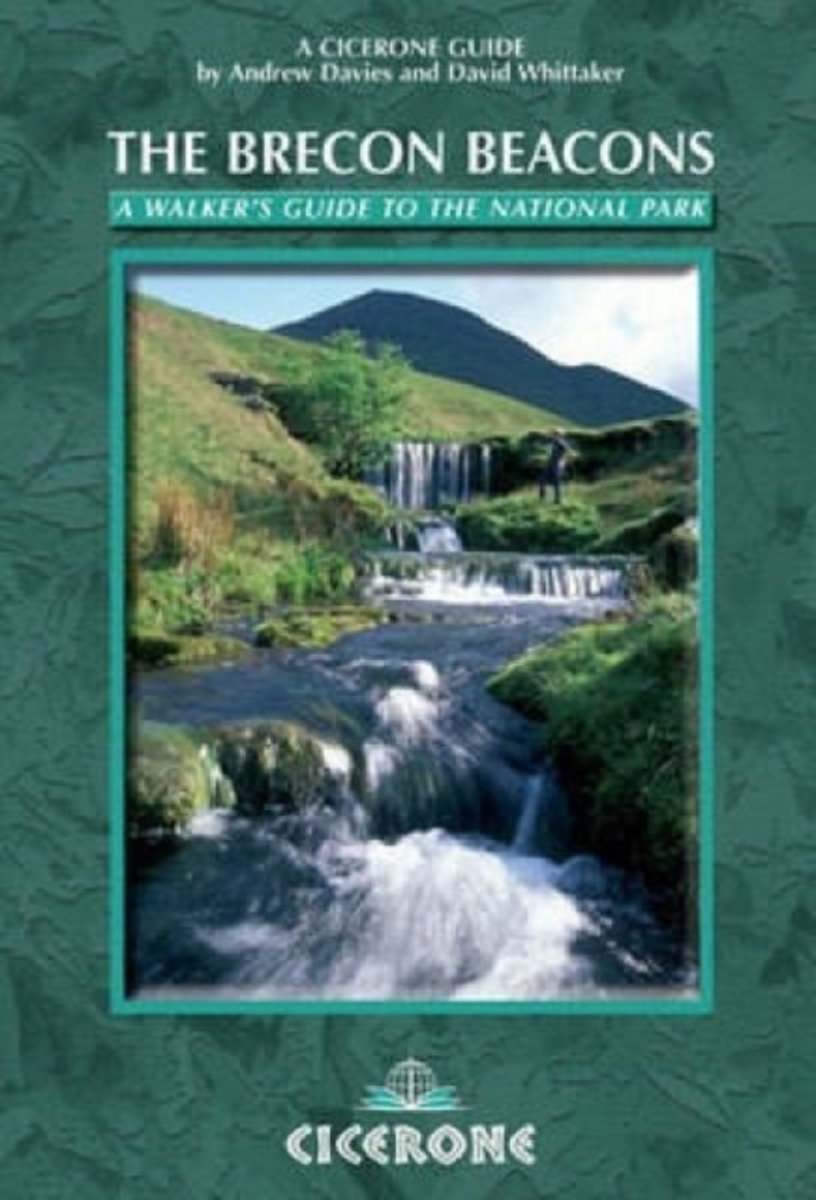
- Brecon Beacons & Glamorgan
- Within the boundaries of the Brecon Beacons National Park there are four separate mountain ranges, including the Black Mountains as well as the Beacons themselves. Most of the area is underlain by old red sandstone, which distinguishes it from the more rugged mountains of North Wales, and several walks explore this terrain of smooth, sweeping... Read more
- Also available from:
- Bol.com, Belgium
Bol.com
Belgium
Belgium
- Brecon Beacons & Glamorgan
- Within the boundaries of the Brecon Beacons National Park there are four separate mountain ranges, including the Black Mountains as well as the Beacons themselves. Most of the area is underlain by old red sandstone, which distinguishes it from the more rugged mountains of North Wales, and several walks explore this terrain of smooth, sweeping... Read more
Bol.com
Netherlands
2013
Netherlands
2013
- Offa's Dyke Path
- The Offas Dyke Path, a 177 mile National Trail, runs along the England / Wales border between Chepstow and Prestatyn. The main route is described in this guide in 15 stages, as are alternative routes which visit places of interest or detour to accommodation, as well as planning information to create flexible itineraries. The route - fully... Read more
- Also available from:
- Bol.com, Belgium
Bol.com
Belgium
2013
Belgium
2013
- Offa's Dyke Path
- The Offas Dyke Path, a 177 mile National Trail, runs along the England / Wales border between Chepstow and Prestatyn. The main route is described in this guide in 15 stages, as are alternative routes which visit places of interest or detour to accommodation, as well as planning information to create flexible itineraries. The route - fully... Read more
Bol.com
Netherlands
2015
Netherlands
2015
- Offa's Dyke Path
- The Offa's Dyke Path is a magnificent National Trail that runs from the North Wales coast to the Severn Estuary following the line of Offa's Dyke, an impressive 8th century earthwork along the English/Welsh border. The ever-changing landscape - the Wye Valley, the Black Mountains, the Shropshire Hills and the Clwydian Hills - is steeped in... Read more
- Also available from:
- Bol.com, Belgium
Bol.com
Belgium
2015
Belgium
2015
- Offa's Dyke Path
- The Offa's Dyke Path is a magnificent National Trail that runs from the North Wales coast to the Severn Estuary following the line of Offa's Dyke, an impressive 8th century earthwork along the English/Welsh border. The ever-changing landscape - the Wye Valley, the Black Mountains, the Shropshire Hills and the Clwydian Hills - is steeped in... Read more
Bol.com
Netherlands
2014
Netherlands
2014
- Walking on the Brecon Beacons
- Guidebook to 45 lesser known circular walks in Brecon Beacons National Park, perfect for those wishing to discover the diversity of the region, away from the crowds. The routes, which range from 3.3km (2 miles) to 21.6km (13.4 miles), cover four geographic areas: Mynydd Du (The Black Mountain), Fforest Fawr, Brecon Beacons and the Black... Read more
- Also available from:
- Bol.com, Belgium
Bol.com
Belgium
2014
Belgium
2014
- Walking on the Brecon Beacons
- Guidebook to 45 lesser known circular walks in Brecon Beacons National Park, perfect for those wishing to discover the diversity of the region, away from the crowds. The routes, which range from 3.3km (2 miles) to 21.6km (13.4 miles), cover four geographic areas: Mynydd Du (The Black Mountain), Fforest Fawr, Brecon Beacons and the Black... Read more
Bol.com
Netherlands
2013
Netherlands
2013
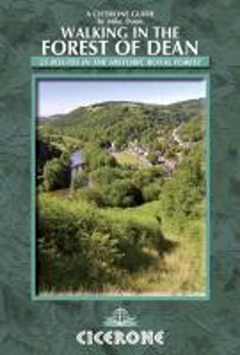
- Walking in the Forest of Dean
- A walking guidebook to the Forest of Dean Area of Outstanding Natural Beauty. From short walks of 4 miles to all-day sections of long-distance routes such as the Offa's Dyke path and the Gloucestershire Way, the 25 walks in this guidebook gives you the information needed to enjoy a wide range of walking among the rolling countryside of the... Read more
- Also available from:
- Bol.com, Belgium
- Stanfords, United Kingdom
- The Book Depository, United Kingdom
Bol.com
Belgium
2013
Belgium
2013
- Walking in the Forest of Dean
- A walking guidebook to the Forest of Dean Area of Outstanding Natural Beauty. From short walks of 4 miles to all-day sections of long-distance routes such as the Offa's Dyke path and the Gloucestershire Way, the 25 walks in this guidebook gives you the information needed to enjoy a wide range of walking among the rolling countryside of the... Read more

Stanfords
United Kingdom
2013
United Kingdom
2013
- Walking in the Forest of Dean
- Mike Dunn’s Cicerone guide to Walking in the Forest of Dean illustrates 25 walks in the historic royal forest, featuring detailed instructions, OS map extracts and colour photographs.An introduction presents the history, geology and landscape, plants and wildlife of the forest, area of outstanding natural beauty that borders England and South... Read more

The Book Depository
United Kingdom
2013
United Kingdom
2013
- Walking in the Forest of Dean
- 25 routes in the historic Royal Forest Read more
De Zwerver
Netherlands
2013
Netherlands
2013
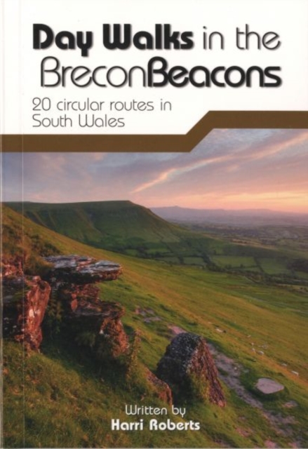
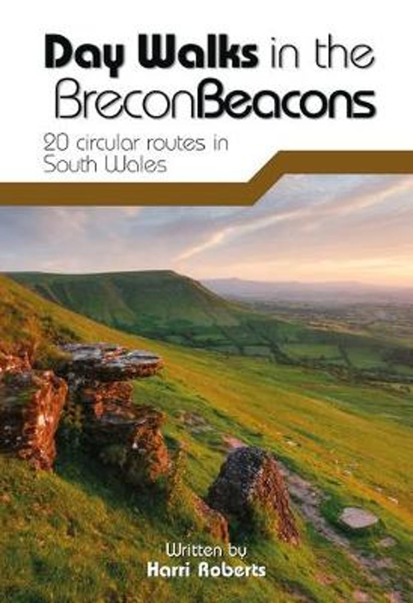
- Wandelgids Day Walks in the Brecon Beacons | Vertebrate Publishing
- Day Walks in the Brecon Beacons is the latest hill walking guidebook in the popular 'Day Walks' series from outdoors publisher Vertebrate Publishing, following guides to the Peak District, Lake District, Yorkshire Dales, North York Moors, Snowdonia and South Downs. This pocket-sized guide features 20 circular routes between 6.8 and 16.5 miles... Read more
- Also available from:
- Bol.com, Netherlands
- Bol.com, Belgium
- Stanfords, United Kingdom
- The Book Depository, United Kingdom
Bol.com
Netherlands
2013
Netherlands
2013
- Day Walks in the Brecon Beacons
- Day Walks in the Brecon Beacons is the latest hill walking guidebook in the popular 'Day Walks' series from outdoors publisher Vertebrate Publishing, following guides to the Peak District, Lake District, Yorkshire Dales, North York Moors, Snowdonia and South Downs. This pocket-sized guide features 20 circular routes between 6.8 and 16.5 miles... Read more
Bol.com
Belgium
2013
Belgium
2013
- Day Walks in the Brecon Beacons
- Day Walks in the Brecon Beacons is the latest hill walking guidebook in the popular 'Day Walks' series from outdoors publisher Vertebrate Publishing, following guides to the Peak District, Lake District, Yorkshire Dales, North York Moors, Snowdonia and South Downs. This pocket-sized guide features 20 circular routes between 6.8 and 16.5 miles... Read more

Stanfords
United Kingdom
2013
United Kingdom
2013
- Day Walks In the Brecon Beacons
- Day Walks in the Brecon Beacons is the latest hill walking guidebook in the popular `Day Walks` series from outdoors publisher Vertebrate Publishing, following guides to the Peak District, Lake District, Yorkshire Dales, North York Moors, Snowdonia and South Downs. This pocket-sized guide features 20 circular routes between 6.8 and 16.5 miles... Read more

The Book Depository
United Kingdom
2013
United Kingdom
2013
- Day Walks in the Brecon Beacons
- 20 circular routes in South Wales Read more
Kaarten

Bol.com
Netherlands
Netherlands
- Wales Mountain Biking
- Wales Mountain Biking is the 12th title in Vertebrate Publishing's bestselling series of UK mountain biking guidebooks. This book showcases 20 routes in Wales, between 12km and 50km in length, suitable for all levels of mountain bikers. Split into three sections, South Wales, Mid Wales and North Wales, this book includes classic loops in the... Read more
- Also available from:
- Bol.com, Belgium
- Stanfords, United Kingdom
Bol.com
Belgium
Belgium
- Wales Mountain Biking
- Wales Mountain Biking is the 12th title in Vertebrate Publishing's bestselling series of UK mountain biking guidebooks. This book showcases 20 routes in Wales, between 12km and 50km in length, suitable for all levels of mountain bikers. Split into three sections, South Wales, Mid Wales and North Wales, this book includes classic loops in the... Read more

Stanfords
United Kingdom
United Kingdom
- Wales Mountain Biking
- Vertebrate’s guide to mountain biking in Wales covers 20 recommended mountain bike trails, routes and rides ranging from 12km to 50km. The routes themselves have been devised and tested by local riders to help you get the very best out of the Welsh trails.Each route is described with easy-to-follow instructions, information on difficulty,... Read more
De Zwerver
Netherlands
Netherlands
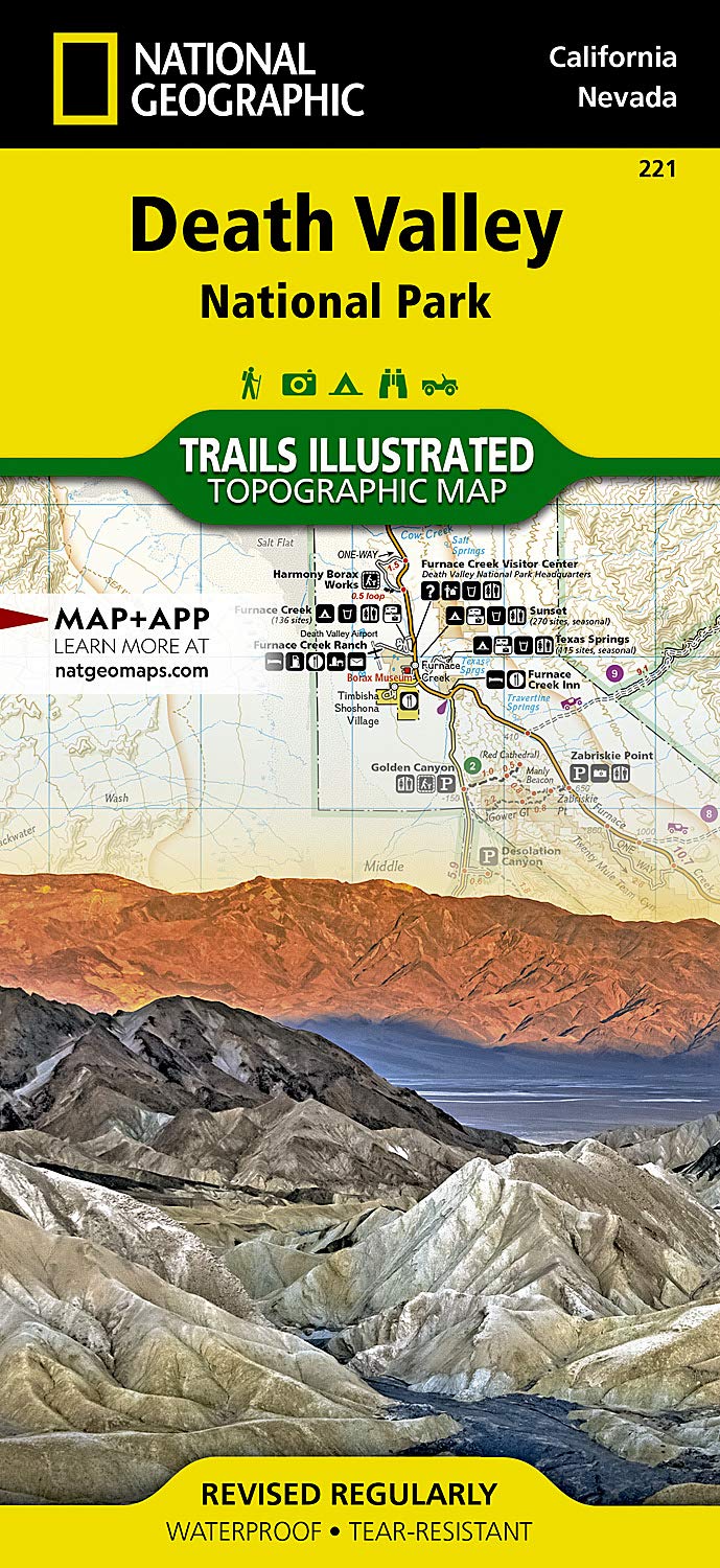
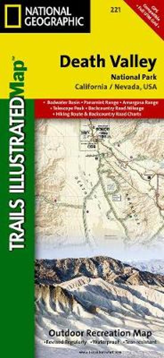
- Wandelkaart - Topografische kaart 221 Trails Illustrated Death Valley National Park | National Geographic
- Prachtige geplastificeerde kaart van het bekende nationaal park. Met alle recreatieve voorzieningen als campsites, maar ook met topografische details en wandelroutes ed. Door uitgekiend kleurgebruik zeer prettig in gebruik. Scheur en watervast! This Trails Illustrated topographic map for Death Valley National Park, which straddles the state... Read more
- Also available from:
- Bol.com, Netherlands
- Bol.com, Belgium
- Stanfords, United Kingdom
- The Book Depository, United Kingdom
Bol.com
Netherlands
Netherlands
- Death Valley National Park
- Waterproof Tear-Resistant Topographic MapDespite its foreboding name and the fact that it is the hottest, lowest, and driest area in North America, Death Valley National Park maintains a great diversity of life in its dramatic terrain of salt-flats, canyons, mountains, valleys, sand dunes, and badlands. National Geographic's Trails... Read more
Bol.com
Belgium
Belgium
- Death Valley National Park
- Waterproof Tear-Resistant Topographic MapDespite its foreboding name and the fact that it is the hottest, lowest, and driest area in North America, Death Valley National Park maintains a great diversity of life in its dramatic terrain of salt-flats, canyons, mountains, valleys, sand dunes, and badlands. National Geographic's Trails... Read more

Stanfords
United Kingdom
United Kingdom
- Death Valley National Park CA/NV NGS Trails Illustrated Map 221
- Map No. 221, Death Valley National Park, CA/NV, in an extensive series of GPS compatible, contoured hiking maps of USA’s national and state parks or forests and other popular recreational areas. Cartography based on the national topographic survey, with additional tourist information.The maps, with most titles now printed on light, waterproof... Read more

The Book Depository
United Kingdom
United Kingdom
- Death Valley National Park
- Trails Illustrated National Parks Read more

Bol.com
Netherlands
Netherlands
- Offa's Dyke Path South
- Wandelkaart van het Zuidelijk deel van Offa's Dyke Path met uitsnedes van de route. Offa's Dyke Path is a National Trail. It runs along the border between Wales and England. Offa was a famous king of Mercia from 757 to 796, ruling an area stretching across a large part of England. Offa's Dyke Path runs from sea to sea - the Severn... Read more
- Also available from:
- Bol.com, Belgium
Bol.com
Belgium
Belgium
- Offa's Dyke Path South
- Wandelkaart van het Zuidelijk deel van Offa's Dyke Path met uitsnedes van de route. Offa's Dyke Path is a National Trail. It runs along the border between Wales and England. Offa was a famous king of Mercia from 757 to 796, ruling an area stretching across a large part of England. Offa's Dyke Path runs from sea to sea - the Severn... Read more

Stanfords
United Kingdom
United Kingdom
- The Black Mountains / Y Mynyddoedd Duon 1830-1833
- Map No. 161, The Black Mountains / Y Mynyddoedd Duon 1830-1833, in the Cassini Historical Series of old Ordnance Survey mapping of England and Wales at 1:50,000 in a format designed to offer a convenient comparison with the present day coverage from the OS, and most locations in three different editions. Old historical maps have been combined... Read more

Stanfords
United Kingdom
United Kingdom
- Cycling Lon Las Cymru: 250 miles through the heart of Wales on traffic-free paths and quiet roads
- Guidebook to cycling Lon Las Cymru, a 255 mile (410km) route from Cardiff, or 242 mile (390km) from Chepstow to Holyhead, showcasing Wales`s beautiful rural heartland. Passing through the Brecon Beacons National Park, Snowdonia National Park, and over the Black Mountains, the Brecon Beacons and the Cambrian Mountains, the route is as scenic as... Read more
Stanfords
United Kingdom
United Kingdom
- The Black Mountains / Y Mynyddoedd Duon 1919-1920
- Map No. 161, The Black Mountains / Y Mynyddoedd Duon 1919-1920, in the Cassini Historical Series of old Ordnance Survey mapping of England and Wales at 1:50,000 in a format designed to offer a convenient comparison with the present day coverage from the OS, and most locations in three different editions. Old historical maps have been combined... Read more
Stanfords
United Kingdom
United Kingdom
- The Black Mountains / Y Mynyddoedd Duon 1900
- Map No. 161, The Black Mountains / Y Mynyddoedd Duon 1900, in the Cassini Historical Series of old Ordnance Survey mapping of England and Wales at 1:50,000 in a format designed to offer a convenient comparison with the present day coverage from the OS, and most locations in three different editions. Old historical maps have been combined so... Read more
Stanfords
United Kingdom
United Kingdom
- The Black Mountains / Y Mynyddoedd Duon 1830-1920 (3-map set)
- Map No. 161, The Black Mountains / Y Mynyddoedd Duon 1830-1920 (3-map set), in the Cassini Historical Series of old Ordnance Survey mapping of England and Wales at 1:50,000 in a format designed to offer a convenient comparison with the present day coverage from the OS, and most locations in three different editions. Old historical maps have... Read more

The Book Depository
United Kingdom
United Kingdom
- Walkers Map Brecon and The Black Mountains
- Brecon and The Black Mountains at 1:25,000 in a series of Walker Read more

- Also available from:
- The Book Depository, United Kingdom


Stanfords
United Kingdom
United Kingdom
- West & Central Brecon Beacons AA Walker`s Map 18
- West and Central Brecon Beacons at 1:25,000 in a series of Walker’s Maps published by the AA with the cartography from the Ordnance Survey’s Explorer series. The map is double-sided and coverage includes Brecon beacons National Park, Merthyr Tydfil, Brecon, Trecastle, Llandovery, Llanwrda, Llandeilo, etc.Maps in the AA Walker’s series are... Read more
- Also available from:
- The Book Depository, United Kingdom

The Book Depository
United Kingdom
United Kingdom
- West and Central Brecon Beacons
- West and Central Brecon Beacons at 1:25,000 in a series of Walker Read more