
Dorset
Beschrijving
County in the south of England, on the English Channel coast. Part of the coastline consists of limestone, dating back to Traildino's roots, and this coastline is referred to as Jurassic Coast.
Paden in deze regio
Links
Feiten
Verslagen
Gidsen en kaarten
Overnachting
Organisaties
Reisorganisaties
GPS
Anders
Boeken
De Zwerver
Netherlands
2019
Netherlands
2019
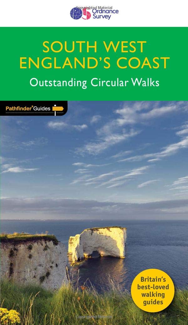
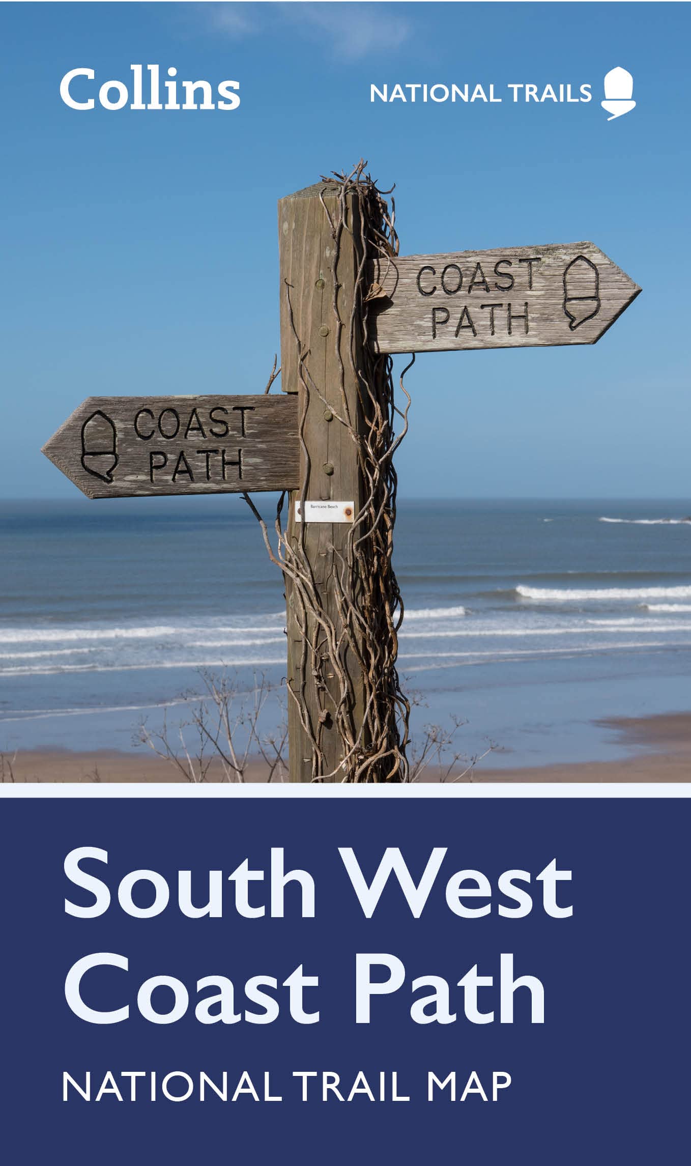
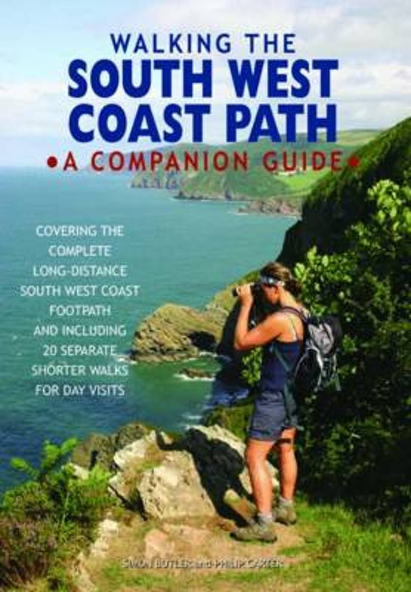
- Wandelgids 69 Pathfinder Guides South West England's Coast | Ordnance Survey
- Are you planning a holiday to Devon, Cornwall or the Jurassic Coast? Do you enjoy a walk with stunning coastal scenery? The South West Coast Path is the UK`s most popular National Trail - with Tintagel voted the `best walk in Britain` in a survey of 4,000 readers of Country Walking magazine. Pathfinder (R) Guide to Coastal Walks in South West... Read more
- Also available from:
- Stanfords, United Kingdom

Stanfords
United Kingdom
2019
United Kingdom
2019
- South West England Coast Walks
- Are you planning a holiday to Devon, Cornwall or the Jurassic Coast? Do you enjoy a walk with stunning coastal scenery? The South West Coast Path is the UK`s most popular National Trail - with Tintagel voted the `best walk in Britain` in a survey of 4,000 readers of Country Walking magazine. Pathfinder (R) Guide to Coastal Walks in South West... Read more
De Zwerver
Netherlands
2022
Netherlands
2022
De Zwerver
Netherlands
2019
Netherlands
2019
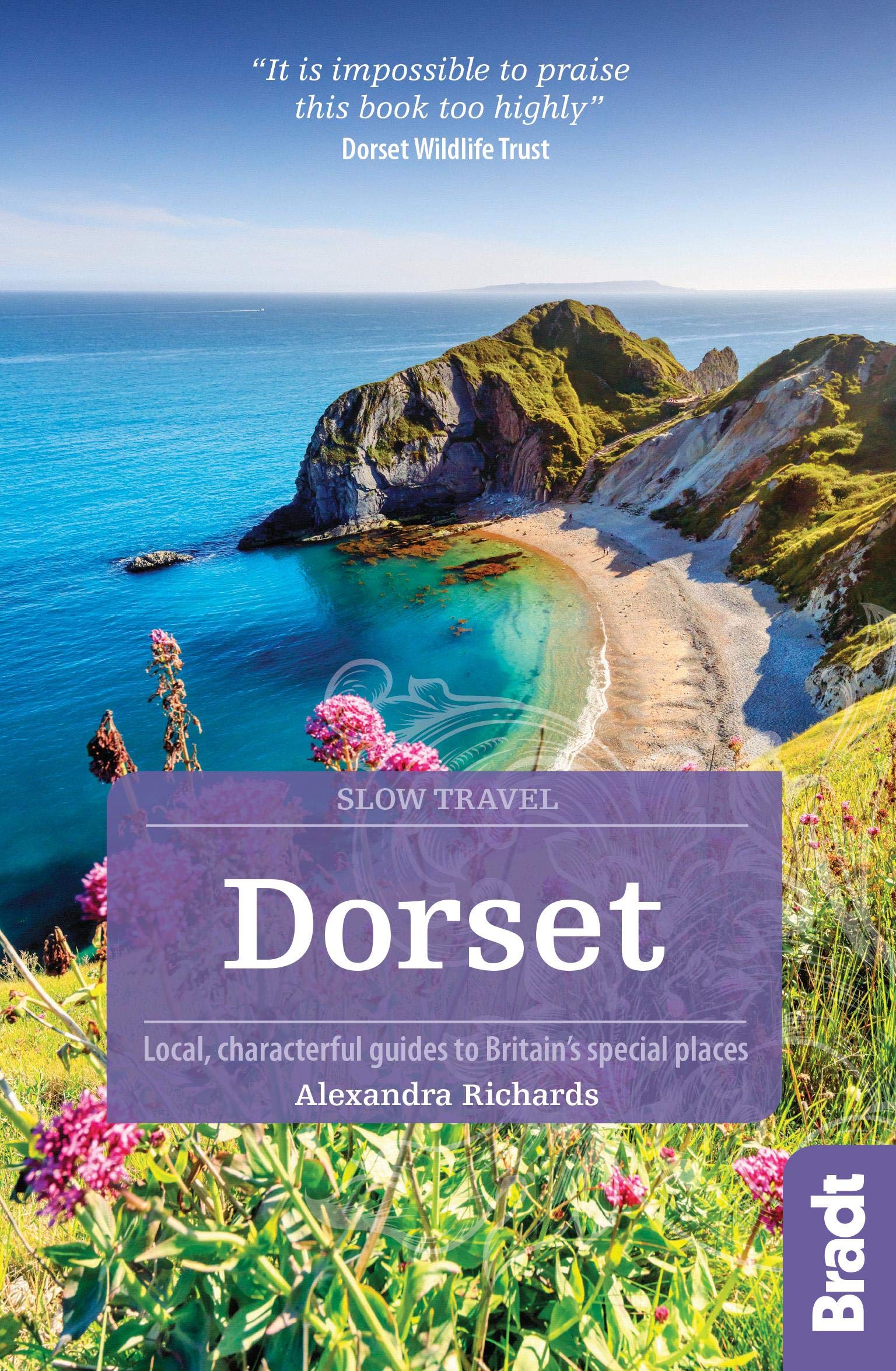
- Reisgids Slow Travel Dorset | Bradt Travel Guides
- This new third edition of Bradt`s popular guide to Dorset - part of its distinctive series of `Slow Travel` guides to local UK regions - has been thoroughly updated to reflect all the most recent changes to the region. Where - and what - to eat, where and when to go and what to see are all covered, providing an essential guide to one of... Read more
- Also available from:
- Stanfords, United Kingdom

Stanfords
United Kingdom
2019
United Kingdom
2019
- Dorset (Slow Travel) Bradt Guide
- This new third edition of Bradt`s popular guide to Dorset - part of its distinctive series of `Slow Travel` guides to local UK regions - has been thoroughly updated to reflect all the most recent changes to the region. Where - and what - to eat, where and when to go and what to see are all covered, providing an essential guide to one of... Read more
De Zwerver
Netherlands
2019
Netherlands
2019
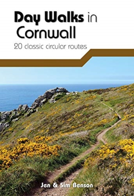
- Wandelgids Day Walks in Cornwall | Vertebrate Publishing
- 20 coastal & moorland routes Read more
- Also available from:
- Stanfords, United Kingdom

Stanfords
United Kingdom
2019
United Kingdom
2019
- Day Walks in Cornwall: 20 coastal & moorland routes
- Day Walks in Cornwall features 20 circular routes between 7.2 and 13.7 miles (11.6km and 22km) in length, suitable for hillwalkers of all abilities. Researched and written by experienced authors Jen and Sim Benson, and covering the extremities of this stunning peninsula, the walks reach areas from Bude to the Isles of Scilly, and from Rame Head... Read more
De Zwerver
Netherlands
2020
Netherlands
2020
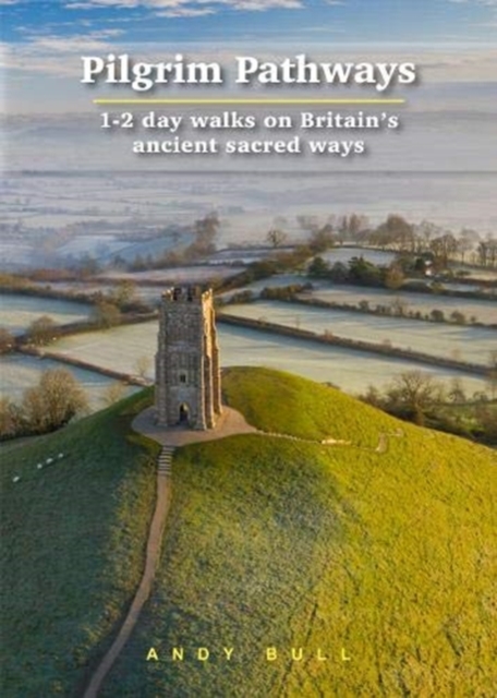
- Wandelgids Pilgrim Pathways | Trailblazer Guides
- Many people are inspired by the idea of going on a pilgrimage. TV series such as The Road to Rome and The Road to Santiago have shown that even the averagely unfit celeb can hobble through one. However, few of us have time for such long routes. So what to do?Pilgrim Pathways has the answer: 20 answers in fact. The pilgrimages in this guidebook... Read more
- Also available from:
- Stanfords, United Kingdom

Stanfords
United Kingdom
2020
United Kingdom
2020
- Pilgrim Pathways: 1-2 day walks on Britain`s Ancient Sacred Ways: 2020
- Many people are inspired by the idea of going on a pilgrimage. TV series such as The Road to Rome and The Road to Santiago have shown that even the averagely unfit celeb can hobble through one. However, few of us have time for such long routes. So what to do?Pilgrim Pathways has the answer: 20 answers in fact. The pilgrimages in this guidebook... Read more
De Zwerver
Netherlands
2013
Netherlands
2013
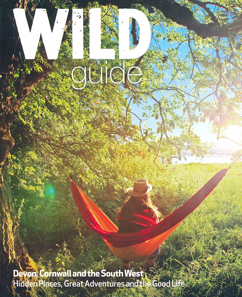
- Reisgids Wild guide - Devon, Cornwall en Zuidwest Engeland | Wild Things Publishing
- This compendium of adventures features the best wild places to visit in the south west of England, covering Devon, Cornwall, Somerset and Dorset, including ideas for local food and accommodation. Explore hidden gems, from the swimming rivers, secret beaches and lost ruins of Cornwall and Somerset, to the ancient woods and meadows of Devon and... Read more
- Also available from:
- Stanfords, United Kingdom

Stanfords
United Kingdom
2013
United Kingdom
2013
- Wild Guide South West England: Hidden Places, Great Adventures and the Good Life
- This compendium of adventures features the best wild places to visit in the south west of England, covering Devon, Cornwall, Somerset and Dorset, including ideas for local food and accommodation. Explore hidden gems, from the swimming rivers, secret beaches and lost ruins of Cornwall and Somerset, to the ancient woods and meadows of Devon and... Read more
De Zwerver
Netherlands
Netherlands
- Also available from:
- Stanfords, United Kingdom

Stanfords
United Kingdom
United Kingdom
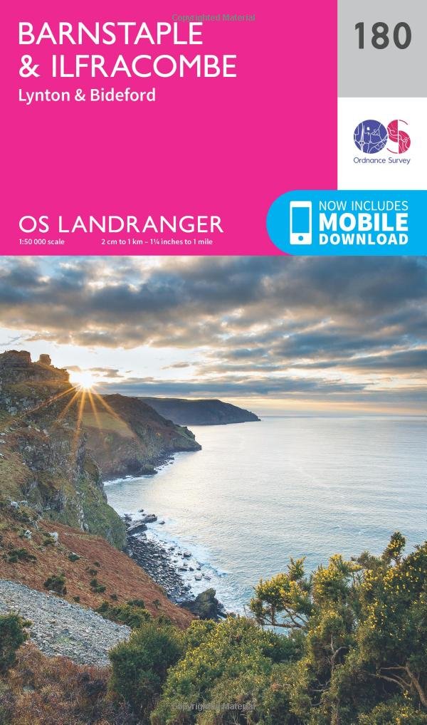
- Barnstaple, Ilfracombe, Lynton & Bideford OS Landranger Map 180 (paper)
- Barnstaple and Ilfracombe area, including the western part of the Exmoor National Park and a section of the South West Coast Path, on a paper version of map No. 180 from the Ordnance Survey’s Landranger series at 1:50,000, with contoured and GPS compatible topographic mapping plus tourist information.MOBILE DOWNLOADS: As well as the physical... Read more
- Also available from:
- Bol.com, Netherlands
- Bol.com, Belgium
- Stanfords, United Kingdom
- The Book Depository, United Kingdom
Bol.com
Netherlands
2017
Netherlands
2017
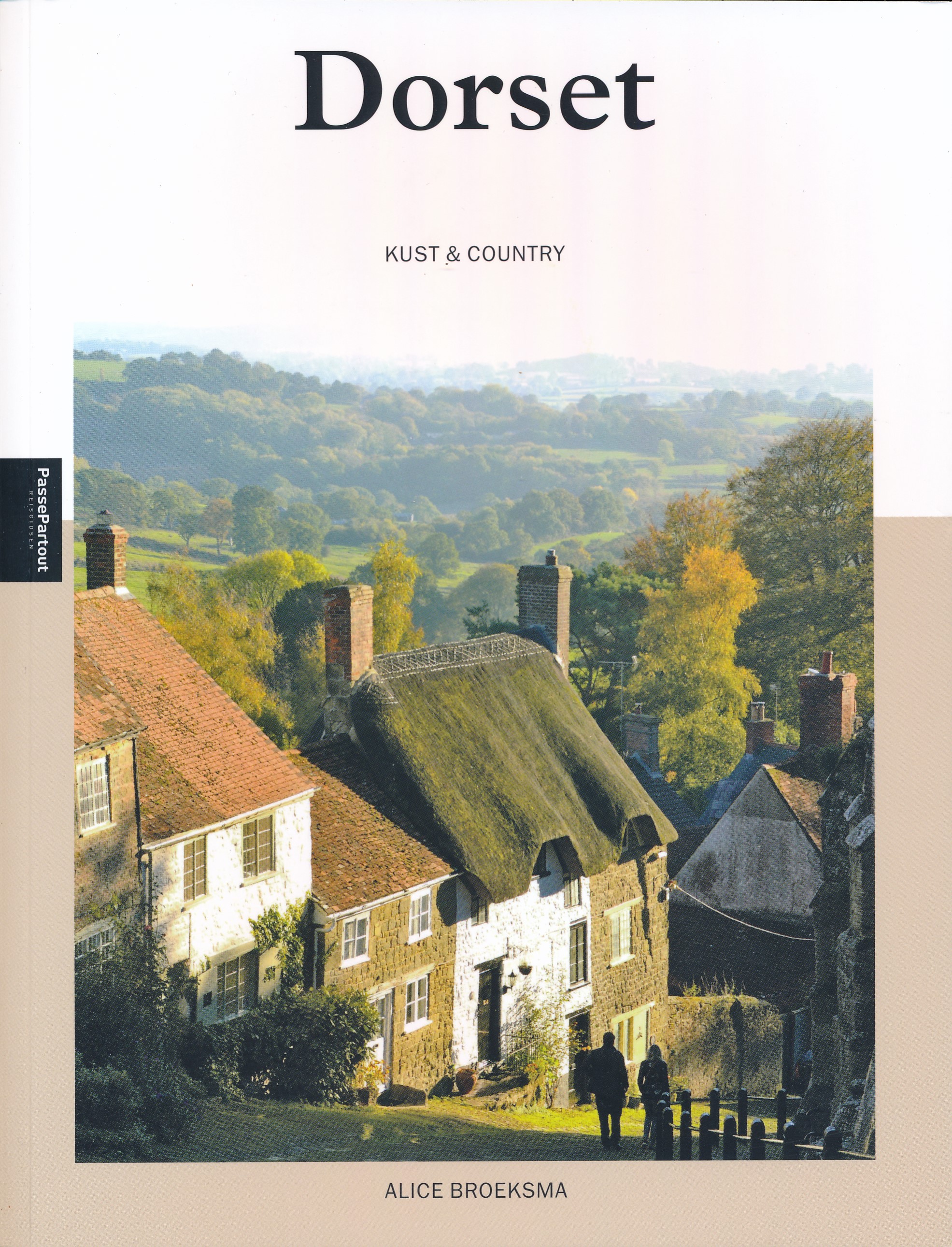
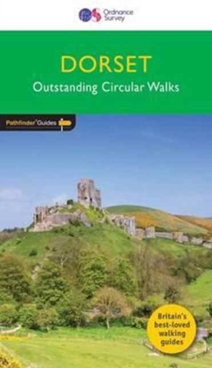
- Dorset
- Dorset must rank as one of the most unspoilt counties in England. Dominating the landscape are the chalk downs open, sweeping, grassy uplands that stretch from the former forest lands of Cranborne Chase on the Wiltshire and Hampshire borders right across the middle of the county to the coast. The many ridge-top footpaths (including one starting... Read more
Bol.com
Belgium
2017
Belgium
2017
- Dorset
- Dorset must rank as one of the most unspoilt counties in England. Dominating the landscape are the chalk downs open, sweeping, grassy uplands that stretch from the former forest lands of Cranborne Chase on the Wiltshire and Hampshire borders right across the middle of the county to the coast. The many ridge-top footpaths (including one starting... Read more

Stanfords
United Kingdom
2017
United Kingdom
2017
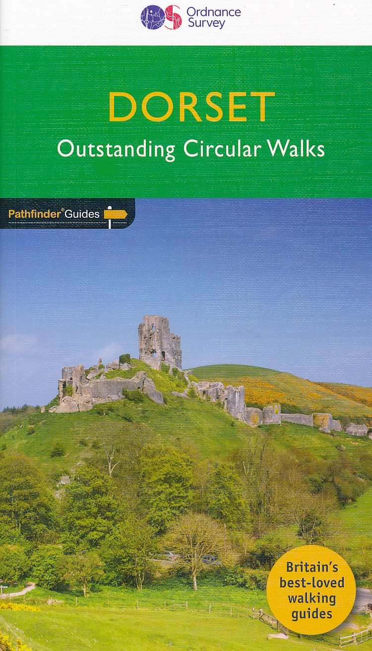
- Dorset - Outstanding Circular Walks
- Dorset must rank as one of the most unspoilt counties in England. Dominating the landscape are the chalk downs open, sweeping, grassy uplands that stretch from the former forest lands of Cranborne Chase on the Wiltshire and Hampshire borders right across the middle of the county to the coast. The many ridge-top footpaths (including one starting... Read more

- Also available from:
- Bol.com, Belgium
- The Book Depository, United Kingdom

Bol.com
Netherlands
Netherlands
- Literary Landscapes--A Tour of the British Isles, Ireland, Scotland, England
- An English professor makes the journey of a lifetime--searching to travel through the eyes of British and Irish writers, to see the landscapes that inspired them, to follow in the footsteps of their heroes and heroines, to combine two great loves--travel and literature. Her travels in 1980 took her to Ireland where she followed Leopold Bloom's... Read more
- Also available from:
- Bol.com, Belgium
Bol.com
Belgium
Belgium
- Literary Landscapes--A Tour of the British Isles, Ireland, Scotland, England
- An English professor makes the journey of a lifetime--searching to travel through the eyes of British and Irish writers, to see the landscapes that inspired them, to follow in the footsteps of their heroes and heroines, to combine two great loves--travel and literature. Her travels in 1980 took her to Ireland where she followed Leopold Bloom's... Read more
- Also available from:
- Bol.com, Belgium
Kaarten
De Zwerver
Netherlands
2023
Netherlands
2023
Bol.com
Netherlands
Netherlands
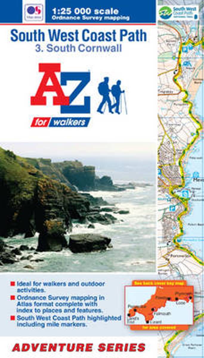
- SW Coast Path South Cornwall Adventure Atlas
- South West Coast Path 3 - South Cornwall Adventure Atlas at 1:25,000 in a series of handy A5 size Adventure Atlases from Geographers' A-Z Map Company with cartography from the Ordnance Survey Read more
- Also available from:
- Bol.com, Belgium
Bol.com
Belgium
Belgium
- SW Coast Path South Cornwall Adventure Atlas
- South West Coast Path 3 - South Cornwall Adventure Atlas at 1:25,000 in a series of handy A5 size Adventure Atlases from Geographers' A-Z Map Company with cartography from the Ordnance Survey Read more
Bol.com
Netherlands
Netherlands
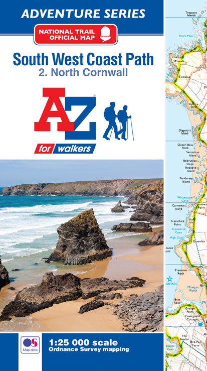
- SW Coast Path North Cornwall Adventure Atlas
- AZ heeft de meest gedetailleerde wandelkaarten van delen van het South West Coast Path gebundeld in een atlasje. Daardoor is het heel handig qua formaat. De kaarten zelf zijn perfect voor het wandelen. Schaal 1:25.000 The perfect companion for those who love the great outdoors, the A-Z Adventure Series features OS 1:25000 scale mapping in a... Read more
- Also available from:
- Bol.com, Belgium
Bol.com
Belgium
Belgium
- SW Coast Path North Cornwall Adventure Atlas
- AZ heeft de meest gedetailleerde wandelkaarten van delen van het South West Coast Path gebundeld in een atlasje. Daardoor is het heel handig qua formaat. De kaarten zelf zijn perfect voor het wandelen. Schaal 1:25.000 The perfect companion for those who love the great outdoors, the A-Z Adventure Series features OS 1:25000 scale mapping in a... Read more

Bol.com
Netherlands
2017
Netherlands
2017
- SW Coast Path South Devon Adventure Atlas
- South West Coast Path 4 - South Devon Adventure at 1:25,000 in a series of handy A5 size Adventure Atlases from Geographers` A-Z Map Company with cartography from the Ordnance Survey’s Explorer series. The guide covers the 210 km / 131 mile section of the SWCP National Trail between Plymouth and Lyme Regis and includes a route planner... Read more
- Also available from:
- Bol.com, Belgium
- Stanfords, United Kingdom
Bol.com
Belgium
2017
Belgium
2017
- SW Coast Path South Devon Adventure Atlas
- South West Coast Path 4 - South Devon Adventure at 1:25,000 in a series of handy A5 size Adventure Atlases from Geographers` A-Z Map Company with cartography from the Ordnance Survey’s Explorer series. The guide covers the 210 km / 131 mile section of the SWCP National Trail between Plymouth and Lyme Regis and includes a route planner... Read more

Stanfords
United Kingdom
2017
United Kingdom
2017
- South West Coast Path 4 - South Devon Adventure Atlas
- South West Coast Path 4 - South Devon Adventure at 1:25,000 in a series of handy A5 size Adventure Atlases from Geographers` A-Z Map Company with cartography from the Ordnance Survey’s Explorer series. The guide covers the 210 km / 131 mile section of the SWCP National Trail between Plymouth and Lyme Regis and includes a route planner... Read more
Bol.com
Netherlands
2017
Netherlands
2017
- SW Coast Path South Cornwall Adventure Atlas
- South West Coast Path 3 - South Cornwall Adventure Atlas at 1:25,000 in a series of handy A5 size Adventure Atlases from Geographers` A-Z Map Company with cartography from the Ordnance Survey’s Explorer series. The guide covers the 252km / 158 mile section of the SWCP National Trail between Land’s End and Plymouth and includes a route planner... Read more
- Also available from:
- Bol.com, Belgium
- Stanfords, United Kingdom
Bol.com
Belgium
2017
Belgium
2017
- SW Coast Path South Cornwall Adventure Atlas
- South West Coast Path 3 - South Cornwall Adventure Atlas at 1:25,000 in a series of handy A5 size Adventure Atlases from Geographers` A-Z Map Company with cartography from the Ordnance Survey’s Explorer series. The guide covers the 252km / 158 mile section of the SWCP National Trail between Land’s End and Plymouth and includes a route planner... Read more

Stanfords
United Kingdom
2017
United Kingdom
2017
- South West Coast Path 3 - South Cornwall A-Z Adventure Atlas
- South West Coast Path 3 - South Cornwall Adventure Atlas at 1:25,000 in a series of handy A5 size Adventure Atlases from Geographers` A-Z Map Company with cartography from the Ordnance Survey’s Explorer series. The guide covers the 252km / 158 mile section of the SWCP National Trail between Land’s End and Plymouth and includes a route planner... Read more
Bol.com
Netherlands
Netherlands
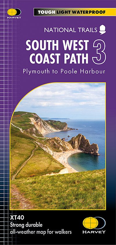
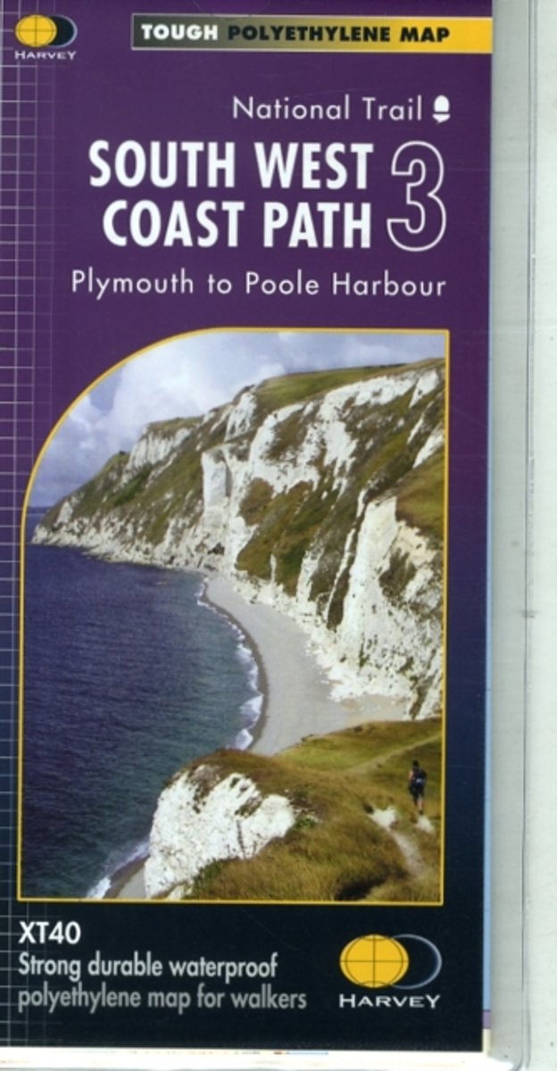
- South West Coast Path 3 XT40
- The third section of the South West Coast Path National Trail, from Plymouth to Poole Harbour along the southern coast Devon and the coast of Dorset, presented by Harvey Map Services at 1:40,000 on a light, waterproof and tear-resistant map, showing the path on 11 overlapping panels.In this new 2015 edition the whole route from Minehead to... Read more
- Also available from:
- Bol.com, Belgium
- Stanfords, United Kingdom
- The Book Depository, United Kingdom
Bol.com
Belgium
Belgium
- South West Coast Path 3 XT40
- The third section of the South West Coast Path National Trail, from Plymouth to Poole Harbour along the southern coast Devon and the coast of Dorset, presented by Harvey Map Services at 1:40,000 on a light, waterproof and tear-resistant map, showing the path on 11 overlapping panels.In this new 2015 edition the whole route from Minehead to... Read more

Stanfords
United Kingdom
United Kingdom
- South West Coast Path 3 - Plymouth to Poole Harbour Harvey National Trail XT40
- The third section of the South West Coast Path National Trail, from Plymouth to Poole Harbour along the southern coast Devon and the coast of Dorset, presented by Harvey Map Services at 1:40,000 on a light, waterproof and tear-resistant map, showing the path on 11 overlapping panels.In this new 2015 edition the whole route from Minehead to... Read more


Bol.com
Netherlands
Netherlands
- SW Coast Path North Devon & Somerset Adventure Atlas
- South West Coast Path 1 - North Devon & Somerset Adventure Atlas at 1:25,000 in a series of handy A5 size Adventure Atlases from Geographers` A-Z Map Company with cartography from the Ordnance Survey’s Explorer series. The guide covers the 199km / 125 mile section of the SWCP National Trail between Bude and Minehead and includes a route planner... Read more
- Also available from:
- Bol.com, Belgium
Bol.com
Belgium
Belgium
- SW Coast Path North Devon & Somerset Adventure Atlas
- South West Coast Path 1 - North Devon & Somerset Adventure Atlas at 1:25,000 in a series of handy A5 size Adventure Atlases from Geographers` A-Z Map Company with cartography from the Ordnance Survey’s Explorer series. The guide covers the 199km / 125 mile section of the SWCP National Trail between Bude and Minehead and includes a route planner... Read more
Bol.com
Netherlands
Netherlands
- SW Coast Path North Cornwall Adventure Atlas
- South West Coast Path 2 - North Cornwall Adventure Atlas at 1:25,000 in a series of handy A5 size Adventure Atlases from Geographers' A-Z Map Company with cartography from the Ordnance Survey Read more
- Also available from:
- Bol.com, Belgium
Bol.com
Belgium
Belgium
- SW Coast Path North Cornwall Adventure Atlas
- South West Coast Path 2 - North Cornwall Adventure Atlas at 1:25,000 in a series of handy A5 size Adventure Atlases from Geographers' A-Z Map Company with cartography from the Ordnance Survey Read more

Stanfords
United Kingdom
United Kingdom
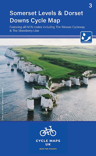
- Tour de Manche Vol. 1: North-West Normandy - Channel Is. - South Dorset Cycle Route (505km)
- Tour de Manche Vol.1: North-Western Normandy - Channel Islands - Southern Dorset Cycle Route, an A5 spiral-bound cycling guide from Itinerance a Vélo showing the 505km-long cross-Channel route on 50 map panels, plus contact addresses for recommended accommodation, cycle shops, etc. Information provided for the Channel Islands and the Dorset... Read more

Stanfords
United Kingdom
United Kingdom
- Tour de Manche Vol. 2: Northern Brittany - Devon/Dorset - Channel Is. Cycle Route (580km)
- Tour de Manche Vol.2: de St-Malo à St-Malo cycling guide covering a 580km long-distance cross-Channel route from St-Malo along the northern coast of Brittany to Roscoff, across the Channel to Plymouth, inland around Dartmoor National Park to Exeter and westwards to Weymouth, and from there back to St-Malo via Guernsey and Jersey.Within France... Read more

Stanfords
United Kingdom
2015
United Kingdom
2015
- South West Coast Path 5 - Dorset A-Z Adventure Atlas
- South West Coast Path 5 - Dorset Adventure Atlas at 1:25,000 in a series of handy A5 size Adventure Atlases from Geographers` A-Z Map Company with cartography from the Ordnance Survey’s Explorer series. The guide covers the 138 km / 86 mile section of the SWCP National Trail between Lyme Regis and Poole and includes a route planner indicating... Read more

Stanfords
United Kingdom
United Kingdom
- East Devon - Exeter Cycling Map 85
- East Devon at 1:100,000 on a handy size, 50x35cm, double-sided contoured map from Croydecycle, printed on waterproof and tear-resistant synthetic paper and showing National Cycle routes and numerous local facilities, including campsites, pubs, etc. Coverage extends westwards just beyond Newton Abbot, Bovey Tracy and Crediton, north to Tiverton,... Read more

Stanfords
United Kingdom
United Kingdom
- Exmoor A-Z Adventure Atlas
- Exmoor at 1:25,000 in a series of handy A5 size Adventure Atlases from Geographers` A-Z Map Company with cartography from the Ordnance Survey’s Explorer series. Coverage includes the South West Coast path between Minehead and Combe Martin Bay, Two Moors Way, Tarka Train, Dulverton, Brendon Hills, etc.To see other titles in this series please... Read more

Stanfords
United Kingdom
United Kingdom
- 2300 Dorset and Devon Coasts Chart Pack - 2015 edition SUPERCEDED
- The Needles to Start Point including Poole Harbour A pack of 9 charts for the Dorset and Devon Coasts. The pack includes: 2300.1 Isle of Wight to Start Point 1:400,000 2300.2 Western Approaches to the Solent 1:60,000 2300.3 Poole Harbour to Bill of Portland 1:75,000 2300.4 Lyme Bay 1:175,000 2300.5 Poole Harbour 1:20,000 2300.6 River Exe... Read more