
Holy Island
Beschrijving
This - mostly flat - island is located near Anglesay, North Wales, with which it is connected by bridges. Holy refers to the many historic sites: standing stones, burial chambers etc.
Paden in deze regio
Links
Feiten
Verslagen
Gidsen en kaarten
Overnachting
Organisaties
Reisorganisaties
GPS
Anders
Boeken
De Zwerver
Netherlands
2021
Netherlands
2021
De Zwerver
Netherlands
2022
Netherlands
2022
- Wandelgids Wales Coast Path: Snowdonia and Ceredigion | Northern Eye Books
- Porthmadog to Cardigan Read more
De Zwerver
Netherlands
2021
Netherlands
2021
Bol.com
Netherlands
Netherlands
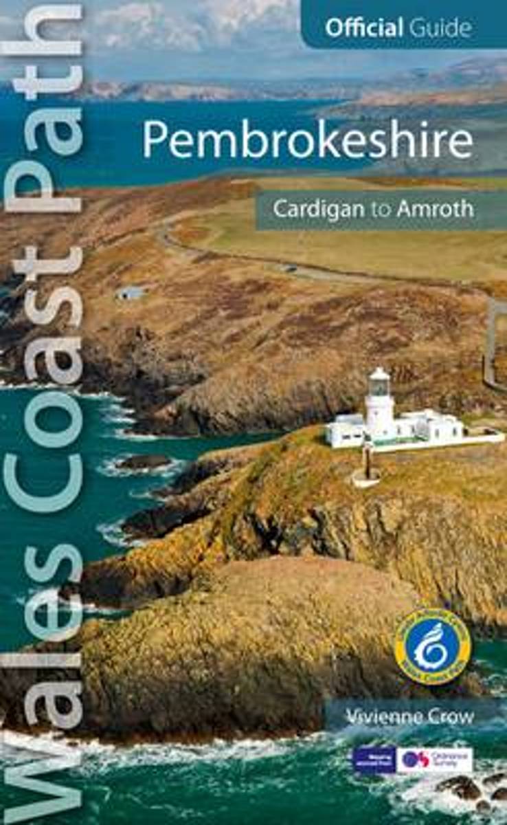
- Pembrokeshire
- One of seven Trail Guides to the Wales Coast Path. Written by outdoor professionals, these authoritative guidebooks give long distance and local walkers everything they need to explore the coast path with confidence.With clear, expertly-written and numbered directions, enhanced Ordnance Survey maps for the entire route, professional... Read more
- Also available from:
- Bol.com, Belgium
Bol.com
Belgium
Belgium
- Pembrokeshire
- One of seven Trail Guides to the Wales Coast Path. Written by outdoor professionals, these authoritative guidebooks give long distance and local walkers everything they need to explore the coast path with confidence.With clear, expertly-written and numbered directions, enhanced Ordnance Survey maps for the entire route, professional... Read more
De Zwerver
Netherlands
2015
Netherlands
2015
- Wandelgids Pembrokeshire North - Wales | Northern Eye Books
- One of the series of books in the new Top 10 Walks: Wales Coast Path series. Handy, pocket-sized, full colour walking guides written by experts. Each volume outlines the most popular circular walks along key sections of the coast path. With clear information, an overview and introduction for each walk, expertly written numbered directions,... Read more
- Also available from:
- Bol.com, Netherlands
- Bol.com, Belgium
- Stanfords, United Kingdom
- The Book Depository, United Kingdom
Bol.com
Netherlands
2015
Netherlands
2015
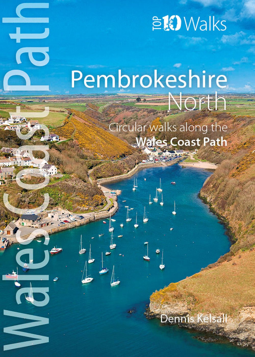
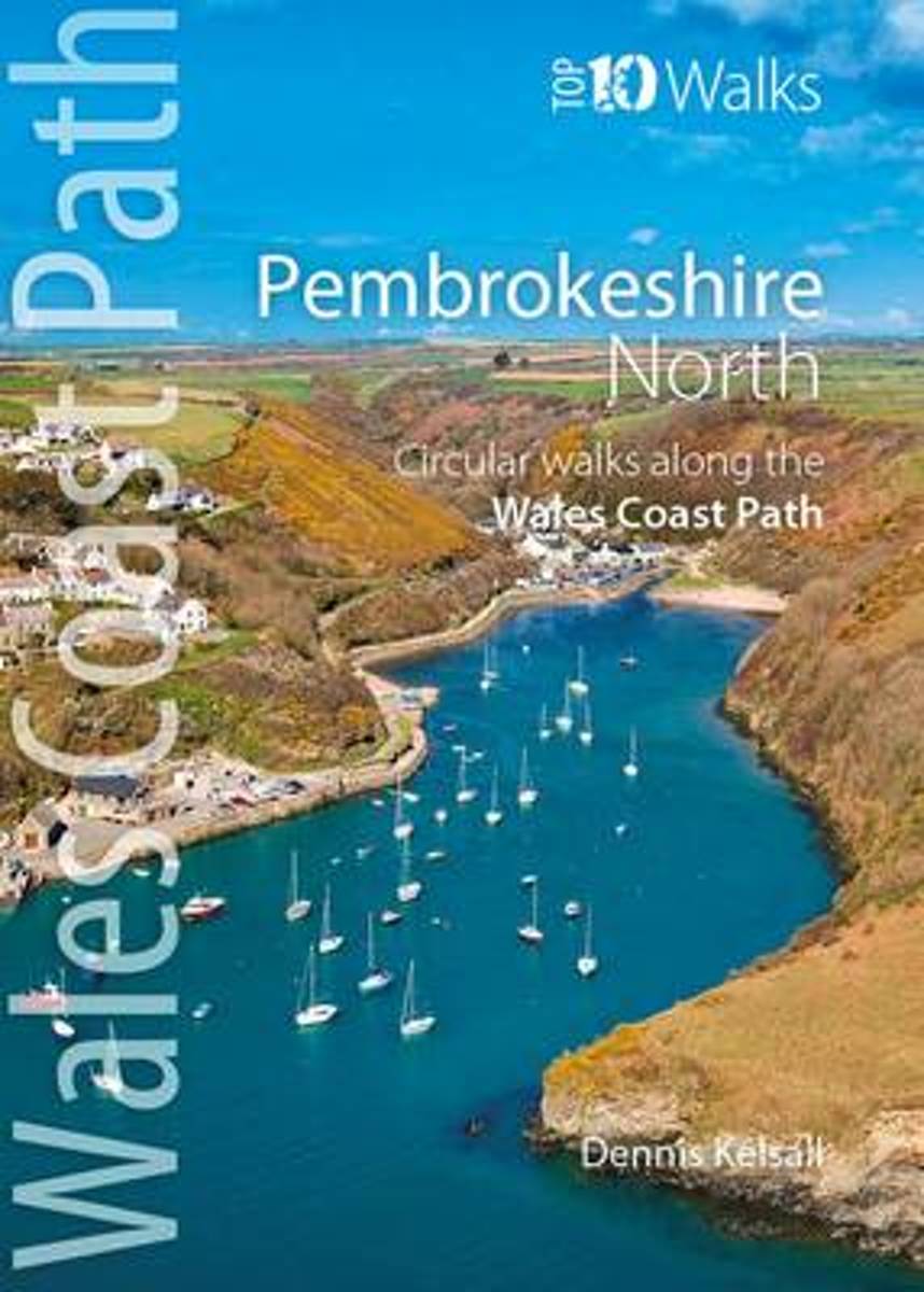
- Pembrokeshire North
- One of the series of books in the new Top 10 Walks: Wales Coast Path series. Handy, pocket-sized, full colour walking guides written by experts. Each volume outlines the most popular circular walks along key sections of the coast path. With clear information, an overview and introduction for each walk, expertly written numbered directions,... Read more
Bol.com
Belgium
2015
Belgium
2015
- Pembrokeshire North
- One of the series of books in the new Top 10 Walks: Wales Coast Path series. Handy, pocket-sized, full colour walking guides written by experts. Each volume outlines the most popular circular walks along key sections of the coast path. With clear information, an overview and introduction for each walk, expertly written numbered directions,... Read more

Stanfords
United Kingdom
2015
United Kingdom
2015
- Pembrokeshire North: Circular Walks Along the Wales Coast Path
- One of the series of books in the new Top 10 Walks: Wales Coast Path series. Handy, pocket-sized, full colour walking guides written by experts. Each volume outlines the most popular circular walks along key sections of the coast path. With clear information, an overview and introduction for each walk, expertly written numbered directions,... Read more

The Book Depository
United Kingdom
2015
United Kingdom
2015
- Pembrokeshire North
- Circular Walks Along the Wales Coast Path Read more

Bol.com
Netherlands
Netherlands
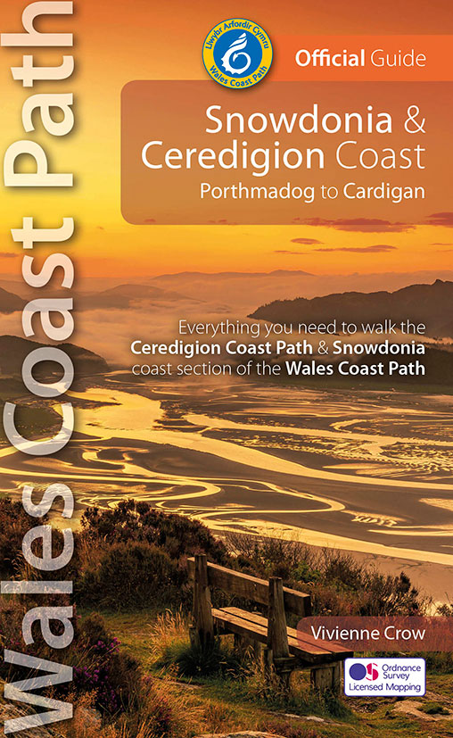
- Snowdonia & Ceredigion Coast
- Written and designed by outdoor experts, these authoratative guidebokks give long distance and local walkers everything they need to enjoy the Wales Coast Path with confidence. With clearly, expertly-written and numbered directions, enhanced Ordnance Survey mapping for the whole route, stunning professional photographs, and fascinating... Read more
- Also available from:
- Bol.com, Belgium
Bol.com
Belgium
Belgium
- Snowdonia & Ceredigion Coast
- Written and designed by outdoor experts, these authoratative guidebokks give long distance and local walkers everything they need to enjoy the Wales Coast Path with confidence. With clearly, expertly-written and numbered directions, enhanced Ordnance Survey mapping for the whole route, stunning professional photographs, and fascinating... Read more
Bol.com
Netherlands
Netherlands
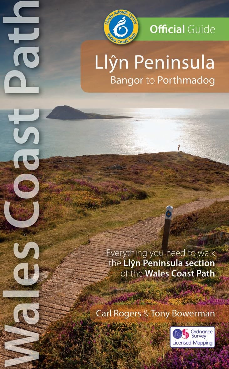
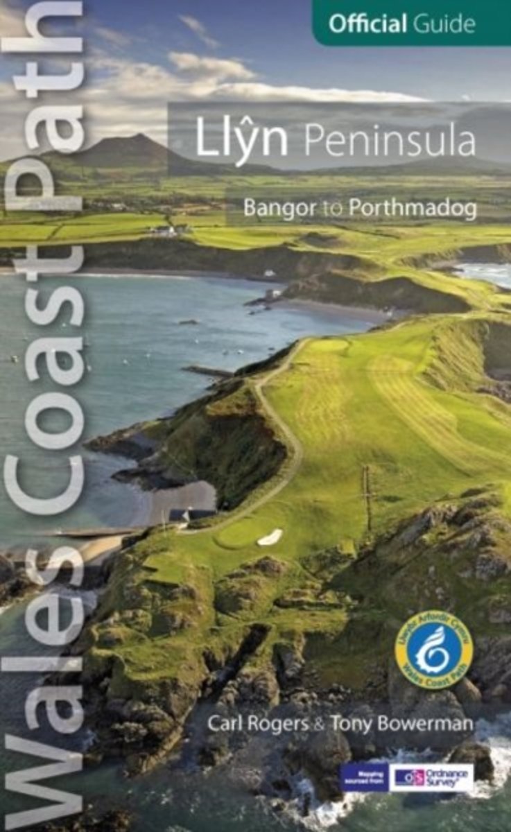
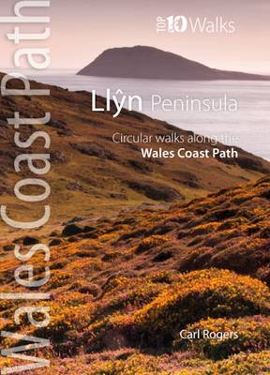
- Llyn Peninsula
- One of seven Official Guides to the Wales Coast Path, specially commissioned by the Countryside Council for Wales, these attractive and comprehensive guides contain everything walkers need to walk and enjoy the Wales Coast Path. Written by outdoor professionals, these authorative guidebooks give long-distance and local walkers what they need to... Read more
- Also available from:
- Bol.com, Belgium
- The Book Depository, United Kingdom
Bol.com
Belgium
Belgium
- Llyn Peninsula
- One of seven Official Guides to the Wales Coast Path, specially commissioned by the Countryside Council for Wales, these attractive and comprehensive guides contain everything walkers need to walk and enjoy the Wales Coast Path. Written by outdoor professionals, these authorative guidebooks give long-distance and local walkers what they need to... Read more

The Book Depository
United Kingdom
United Kingdom
- Llyn Peninsula: Wales Coast Path Official Guide
- Bangor to Porthmadog Read more
Bol.com
Netherlands
Netherlands
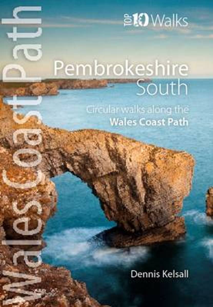
- Pembrokeshire South
- One of the series of books in the new Top 10 Walks: Wales Coast Path series. Handy, pocket-sized, full colour walking guides written by experts. Each volume outlines the most popular circular walks along key sections of the coast path. With clear information, an overview and introduction for each walk, expertly written numbered directions,... Read more
- Also available from:
- Bol.com, Belgium
- Stanfords, United Kingdom
- The Book Depository, United Kingdom
Bol.com
Belgium
Belgium
- Pembrokeshire South
- One of the series of books in the new Top 10 Walks: Wales Coast Path series. Handy, pocket-sized, full colour walking guides written by experts. Each volume outlines the most popular circular walks along key sections of the coast path. With clear information, an overview and introduction for each walk, expertly written numbered directions,... Read more

Stanfords
United Kingdom
United Kingdom
- Pembrokeshire South: Circular Walks Along the Wales Coast Path
- One of the series of books in the new Top 10 Walks: Wales Coast Path series. Handy, pocket-sized, full colour walking guides written by experts. Each volume outlines the most popular circular walks along key sections of the coast path. With clear information, an overview and introduction for each walk, expertly written numbered directions,... Read more

The Book Depository
United Kingdom
United Kingdom
- Pembrokeshire South
- Circular Walks Along the Wales Coast Path Read more
Bol.com
Netherlands
Netherlands
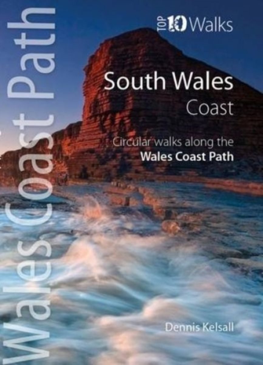
- South Wales Coast
- In the popular Wales Coast Path: Top 10 Walks series this attractive and cleverly structured guide gives walkers ten of the finest short circular walks along the South Wales Coast section of the Wales Coast Path in a popular pocketable format. With clear information, an overview and introduction for each walk, large scale Ordnance Survey maps,... Read more
- Also available from:
- Bol.com, Belgium
- Stanfords, United Kingdom
- The Book Depository, United Kingdom
Bol.com
Belgium
Belgium
- South Wales Coast
- In the popular Wales Coast Path: Top 10 Walks series this attractive and cleverly structured guide gives walkers ten of the finest short circular walks along the South Wales Coast section of the Wales Coast Path in a popular pocketable format. With clear information, an overview and introduction for each walk, large scale Ordnance Survey maps,... Read more

Stanfords
United Kingdom
United Kingdom
- South Wales Coast: Circular Walks Along the Wales Coast Path
- In the popular Wales Coast Path: Top 10 Walks series this attractive and cleverly structured guide gives walkers ten of the finest short circular walks along the South Wales Coast section of the Wales Coast Path in a popular pocketable format. With clear information, an overview and introduction for each walk, large scale Ordnance Survey maps,... Read more

The Book Depository
United Kingdom
United Kingdom
- South Wales Coast
- Circular Walks Along the Wales Coast Path Read more

De Zwerver
Netherlands
2021
Netherlands
2021
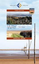
- Wandelgids St Cuthbert's Way | Birlinn
- This 100k (60 mile) walk was opened in 1996 and has rapidly increased in popularity, with thousands of walkers walking all or parts of it every year. Visiting a number of places closely associated with St Cuthbert's life, the journey is full of historical interest and natural beauty. It can be tackled in its entirety, or sections can be walked... Read more
- Also available from:
- Bol.com, Netherlands
- Bol.com, Belgium
- The Book Depository, United Kingdom
Bol.com
Netherlands
2021
Netherlands
2021
- St Cuthbert's Way
- This 100k (60 mile) walk was opened in 1996 and has rapidly increased in popularity, with thousands of walkers walking all or parts of it every year. Visiting a number of places closely associated with St Cuthbert's life, the journey is full of historical interest and natural beauty. It can be tackled in its entirety, or sections can be walked... Read more
Bol.com
Belgium
2021
Belgium
2021
- St Cuthbert's Way
- This 100k (60 mile) walk was opened in 1996 and has rapidly increased in popularity, with thousands of walkers walking all or parts of it every year. Visiting a number of places closely associated with St Cuthbert's life, the journey is full of historical interest and natural beauty. It can be tackled in its entirety, or sections can be walked... Read more

Bol.com
Netherlands
Netherlands
- Llyn Peninsula
- With clear information, an overview and introduction for each walk, expertly written numbered directions, large scale Ordnance Survey maps, superb, eye-grabbing panoramic photographs and interpretation of points of interest along the way, these guides set a new standard in clarity and ease-of-use. Featured walks include: Dinas Dinlle, Port... Read more
- Also available from:
- Bol.com, Belgium
- The Book Depository, United Kingdom
Bol.com
Belgium
Belgium
- Llyn Peninsula
- With clear information, an overview and introduction for each walk, expertly written numbered directions, large scale Ordnance Survey maps, superb, eye-grabbing panoramic photographs and interpretation of points of interest along the way, these guides set a new standard in clarity and ease-of-use. Featured walks include: Dinas Dinlle, Port... Read more

.jpg)
- Also available from:
- Bol.com, Netherlands
- Bol.com, Belgium
- The Book Depository, United Kingdom
Bol.com
Netherlands
2012
Netherlands
2012
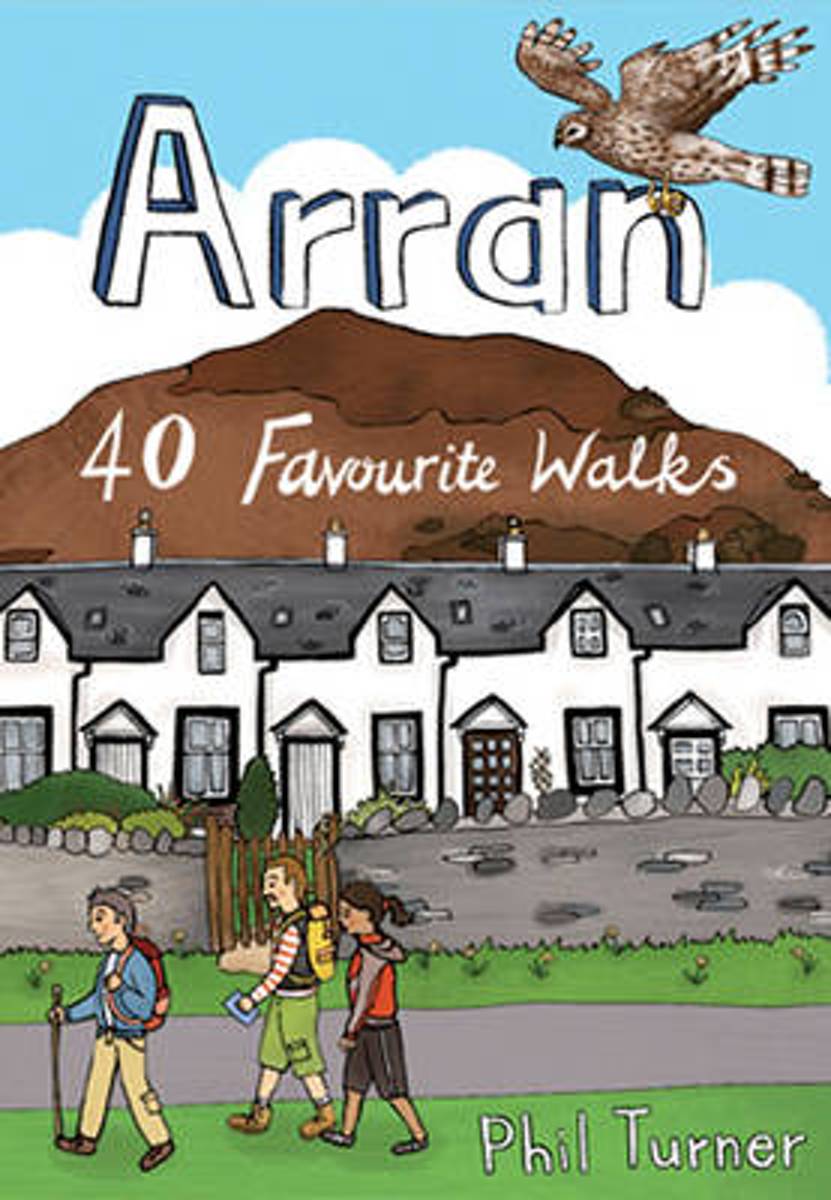
- Arran
- With dramatic mountain ridges towering over the moorland of its northern half, and a lusher, softer landscape in the south, Arran is often dubbed as Scotland in Miniature. The fact is that this is an island with a huge amount to offer packed into small space. The great granite ridges may be lower in stature than those in the Highlands, but they... Read more
Bol.com
Belgium
2012
Belgium
2012
- Arran
- With dramatic mountain ridges towering over the moorland of its northern half, and a lusher, softer landscape in the south, Arran is often dubbed as Scotland in Miniature. The fact is that this is an island with a huge amount to offer packed into small space. The great granite ridges may be lower in stature than those in the Highlands, but they... Read more

Bol.com
Netherlands
Netherlands
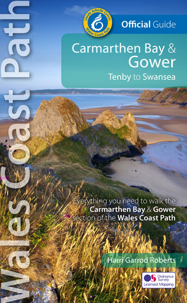
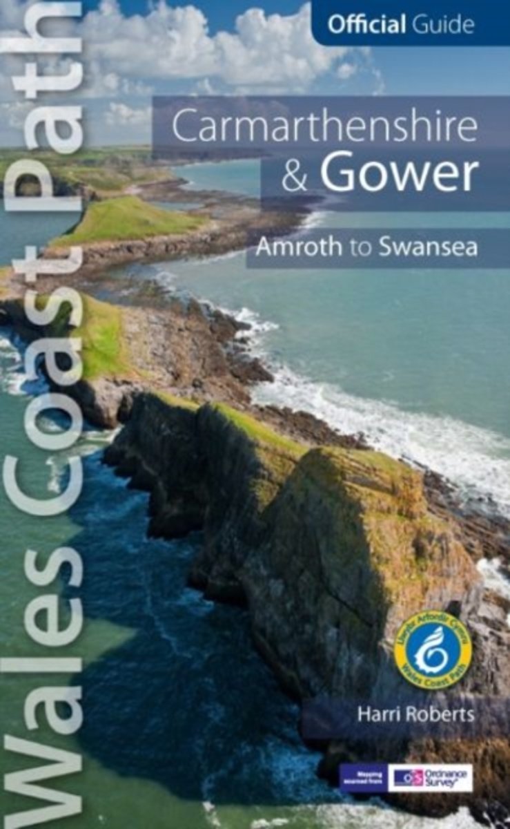
- Carmarthen Bay & Gower
- One of seven Official Guides to the Wales Coast Path, specially commissioned by the Countryside Council for Wales, these attractive and comprehensive guides contain everything walkers need to walk and enjoy the Wales Coast Path. Written by outdoor professionals, these authorative guidebooks give long-distance and local walkers what they need to... Read more
- Also available from:
- Bol.com, Belgium
Bol.com
Belgium
Belgium
- Carmarthen Bay & Gower
- One of seven Official Guides to the Wales Coast Path, specially commissioned by the Countryside Council for Wales, these attractive and comprehensive guides contain everything walkers need to walk and enjoy the Wales Coast Path. Written by outdoor professionals, these authorative guidebooks give long-distance and local walkers what they need to... Read more
De Zwerver
Netherlands
2018
Netherlands
2018
- Wandelgids North Wales Coast walks | Northern Eye Books
- Circular Walks along the Wales Coast Path Read more
- Also available from:
- Bol.com, Netherlands
- Bol.com, Belgium
- Stanfords, United Kingdom
- The Book Depository, United Kingdom
Bol.com
Netherlands
2018
Netherlands
2018
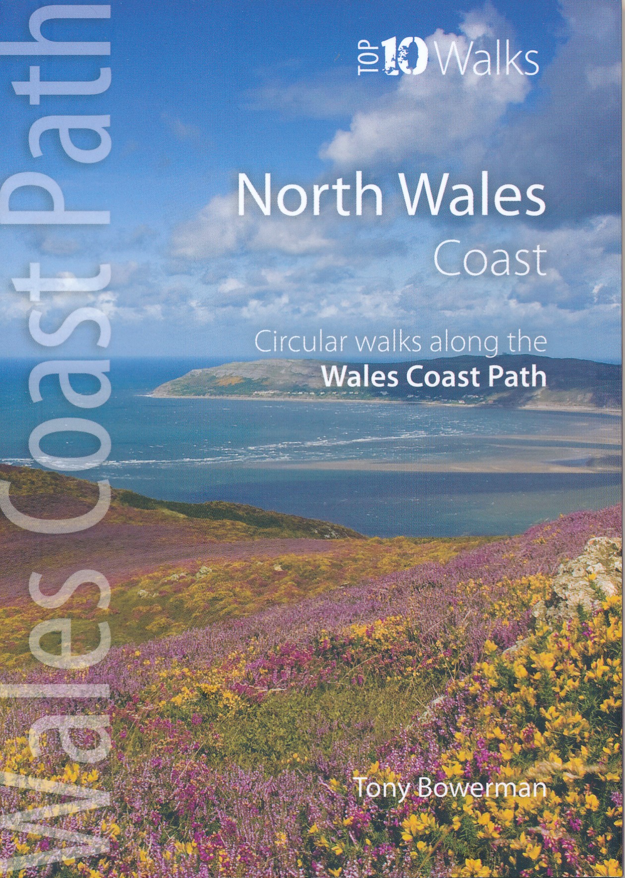
- North Wales Coast
- These attractive and cleverley structured guidebooks give walkers the ten finest circualr routes on a section of the Wales Coast Path in a popular pocketable format. With clear information, an overview and introduction for each walk, expertly written numbered directions, enhanced OS mapping, eye-grabbing panoramic photopgraphs, and... Read more
Bol.com
Belgium
2018
Belgium
2018
- North Wales Coast
- These attractive and cleverley structured guidebooks give walkers the ten finest circualr routes on a section of the Wales Coast Path in a popular pocketable format. With clear information, an overview and introduction for each walk, expertly written numbered directions, enhanced OS mapping, eye-grabbing panoramic photopgraphs, and... Read more

Stanfords
United Kingdom
2018
United Kingdom
2018
- North Wales Coast: Circular Walks Along the Wales Coast Path
- These attractive and cleverley structured guidebooks give walkers the ten finest circualr routes on a section of the Wales Coast Path in a popular pocketable format. With clear information, an overview and introduction for each walk, expertly written numbered directions, enhanced OS mapping, eye-grabbing panoramic photopgraphs, and... Read more

The Book Depository
United Kingdom
2018
United Kingdom
2018
- North Wales Coast
- Circular Walks along the Wales Coast Path Read more
Kaarten
De Zwerver
Netherlands
Netherlands
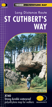
- Wandelkaart St Cuthbert's Way | Harvey Maps
- St. Cuthbert's Way, a 100km / 62.5 mile route from Melrose in the Scottish Borders through the Northumberland National Park to the Holly Island of Lindisfarne, presented at 1:40,000 on a GPS compatible, light, waterproof and tear-resistant map from Harvey Map Services. The route is shown on six panels, with additional small street plans of... Read more
- Also available from:
- Stanfords, United Kingdom

Stanfords
United Kingdom
United Kingdom
- St Cuthbert`s Way Harvey National Trail XT40
- St. Cuthbert`s Way, a 100km / 62.5 mile route from Melrose in the Scottish Borders through the Northumberland National Park to the Holly Island of Lindisfarne, presented at 1:40,000 on a GPS compatible, light, waterproof and tear-resistant map from Harvey Map Services. The route is shown on six panels, with additional small street plans of... Read more

Bol.com
Netherlands
2010
Netherlands
2010
- St Cuthbert's Way
- Follow the footsteps of St Cuthbert in this easy-going walk of 62 miles (100 km) from Melrose Abbey in the Scottish borders to the Holy Island of Lindisfarne in the North Sea. The route passes many fine abbeys, hill forts and castles, includes a section of Roman road and finishes with the barefoot Pilgrims' Path across tidal sands. The walk can... Read more
- Also available from:
- Bol.com, Belgium
- Stanfords, United Kingdom
Bol.com
Belgium
2010
Belgium
2010
- St Cuthbert's Way
- Follow the footsteps of St Cuthbert in this easy-going walk of 62 miles (100 km) from Melrose Abbey in the Scottish borders to the Holy Island of Lindisfarne in the North Sea. The route passes many fine abbeys, hill forts and castles, includes a section of Roman road and finishes with the barefoot Pilgrims' Path across tidal sands. The walk can... Read more

Stanfords
United Kingdom
2010
United Kingdom
2010
- St Cuthbert`s Way Rucksack Reader
- St Cuthbert`s Way, a 100km /62 miles trail from Melrose Abbey in the Scottish Borders to the Holy Island of Lindisfarne, presented by Rucksack Readers in handy A5 size, spiral-bound, waterproof guide with mapping at 1:100,000. Coverage includes a high-level option over the Cheviot Hills.The guide provides general advice on when to go,... Read more
De Zwerver
Netherlands
2013
Netherlands
2013
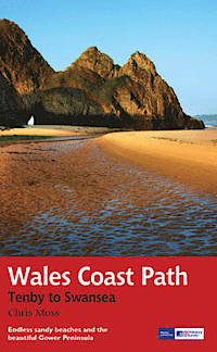
- Wandelgids Wales Coast Path: Tenby-Swansea | Aurum Press
- 2012 saw the opening of the entire Welsh coastline as an official long-distance footpath. Now, to complement its existing National Trail Guide to the Pembrokeshire Coast Path, which makes up the section of the Path from Fishguard to just beyond Tenby, Aurum publishes a completely new guide to the other most scenic and popular stretch of the... Read more
- Also available from:
- Bol.com, Netherlands
- Bol.com, Belgium
Bol.com
Netherlands
2013
Netherlands
2013
- Wales Coast Path
- 2012 saw the opening of the entire Welsh coastline as an official long-distance footpath. Now, to complement its existing National Trail Guide to the Pembrokeshire Coast Path, which makes up the section of the Path from Fishguard to just beyond Tenby, Aurum publishes a completely new guide to the other most scenic and popular stretch of the... Read more
Bol.com
Belgium
2013
Belgium
2013
- Wales Coast Path
- 2012 saw the opening of the entire Welsh coastline as an official long-distance footpath. Now, to complement its existing National Trail Guide to the Pembrokeshire Coast Path, which makes up the section of the Path from Fishguard to just beyond Tenby, Aurum publishes a completely new guide to the other most scenic and popular stretch of the... Read more
Bol.com
Netherlands
Netherlands
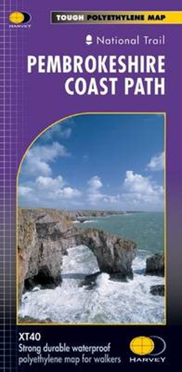
- Pembroke Coast Path XT40
- Pembrokeshire Coast Path, a 265km / 165 mile section of the Wales Coast Path, presented at 1:40,000 on a light, waterproof and tear-resistant map from Harvey Map Services. The route is shown on nine panels.Maps in the Harvey Read more
- Also available from:
- Bol.com, Belgium
- Stanfords, United Kingdom
Bol.com
Belgium
Belgium
- Pembroke Coast Path XT40
- Pembrokeshire Coast Path, a 265km / 165 mile section of the Wales Coast Path, presented at 1:40,000 on a light, waterproof and tear-resistant map from Harvey Map Services. The route is shown on nine panels.Maps in the Harvey Read more

Stanfords
United Kingdom
United Kingdom
- Pembrokeshire Coast Path Harvey National Trail XT40
- Pembrokeshire Coast Path, a 265km / 165 mile section of the Wales Coast Path, presented at 1:40,000 on a light, waterproof and tear-resistant map from Harvey Map Services. The route is shown on nine panels.Maps in the Harvey’s series covering Great Britain’s national trails and other long-distance footpaths are printed on light, waterproof and... Read more

Stanfords
United Kingdom
United Kingdom
- North Pembrokeshire OS Explorer Map OL35 (paper)
- The northern coast of Pembrokeshire between Cardigan and St Davids on a detailed topographic and GPS compatible map OL35, paper version, from the Ordnance Survey’s 1:25,000 Explorer series. Coverage includes Pembrokeshire Coast National Park, Goodwick, Fishguard, Llys-y-fran Reservoir, Ramsey Island, the Pembrokeshire Coast Path National Trail... Read more

Stanfords
United Kingdom
United Kingdom
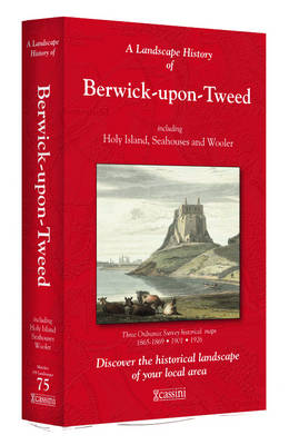
- Berwick-upon-Tweed 1865-1869
- Map No. 75, Berwick-upon-Tweed 1865-1869, in the Cassini Historical Series of old Ordnance Survey mapping of England and Wales at 1:50,000 in a format designed to offer a convenient comparison with the present day coverage from the OS, and most locations in three different editions. Old historical maps have been combined so that the sheet lines... Read more
Stanfords
United Kingdom
United Kingdom
- Berwick-upon-Tweed 1926
- Map No. 75, Berwick-upon-Tweed 1926, in the Cassini Historical Series of old Ordnance Survey mapping of England and Wales at 1:50,000 in a format designed to offer a convenient comparison with the present day coverage from the OS, and most locations in three different editions. Old historical maps have been combined so that the sheet lines... Read more
Stanfords
United Kingdom
United Kingdom
- Berwick-upon-Tweed 1901
- Map No. 75, Berwick-upon-Tweed 1901, in the Cassini Historical Series of old Ordnance Survey mapping of England and Wales at 1:50,000 in a format designed to offer a convenient comparison with the present day coverage from the OS, and most locations in three different editions. Old historical maps have been combined so that the sheet lines... Read more

Stanfords
United Kingdom
United Kingdom
- Cycling the Reivers Route: Coast to coast through wild Northumberland`s border country
- As the wildest of the northern coast-to-coast cycle routes, the Reivers Route explores the rich Border Reiving history of northern England and the Scottish Borders. Travelling 173 mile (280km) from Whitehaven to Tynemouth, this four-day cycle tour takes in the Cumbrian coast, northern Lake District, Northumberland National Park and North... Read more
Stanfords
United Kingdom
United Kingdom
- Berwick-upon-Tweed 1865-1926 (3-map set)
- Map No. 75, Berwick-upon-Tweed 1865-1926 (3-map set), in the Cassini Historical Series of old Ordnance Survey mapping of England and Wales at 1:50,000 in a format designed to offer a convenient comparison with the present day coverage from the OS, and most locations in three different editions. Old historical maps have been combined so that the... Read more

Stanfords
United Kingdom
United Kingdom
- St Oswald`s Way Harvey National Trail XT40
- St Oswald`s Way, linking the Holy Island (Lindisfarne) and Hardian’s Wall, on a waterproof and tear-resistant map at 1:40,000 from Harvey Map Services presenting the route accompanied by extensive additional tourist information.Divided into seven panels, the route is shown on mapping with contours at 15m intervals enhanced by additional... Read more
- Also available from:
- The Book Depository, United Kingdom

The Book Depository
United Kingdom
United Kingdom
- St Oswald's Way
- Mooie, duidelijke kaart van de St Oswald's Way Noord-Engeland. Geplastificeerd met veel extra informatie en uitsnedes van de route. From Holy Island to Heavenfield, the 97 mile St Oswald's Way links some of the places associated with St Oswaldwho was the King of Northumbria in the early 7th century. The route runs through the... Read more
De Zwerver
Netherlands
2022
Netherlands
2022
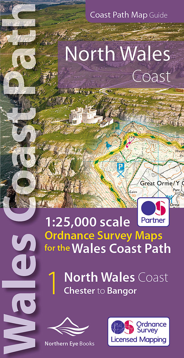
- Wandelkaart North Wales Coast Path Map | Northern Eye Books
- One of seven handy, lightweight, pocket sized map bookscovering the whole of the 870 mile/1400 kilometre Wales Coast Path. This volume covers North Wales from Chester to Bangor and includes enhanced large scale (1:25,000) Ordnance Survey mapping in a handy atlas format, with extracts from large scale Explorer maps 266, 265, 264 and OL17.The... Read more
- Also available from:
- Stanfords, United Kingdom
- The Book Depository, United Kingdom

Stanfords
United Kingdom
2022
United Kingdom
2022
- North Wales Coast - Chester to Bangor - Wales Coast Path Map-Booklet
- One of seven handy, lightweight, pocket sized map bookscovering the whole of the 870 mile/1400 kilometre Wales Coast Path. This volume covers North Wales from Chester to Bangor and includes enhanced large scale (1:25,000) Ordnance Survey mapping in a handy atlas format, with extracts from large scale Explorer maps 266, 265, 264 and OL17.The... Read more

The Book Depository
United Kingdom
2022
United Kingdom
2022
- North Wales Coast Path Map
- 1:25,000 scale Ordnance Survey mapping for the Wales Coast Path Read more