
Kent
Beschrijving
County in southeastern England. Well known are the white cliffs of Dover. Hikers especially enjoy the North Downs chalk hills. Quite a few long distance trails can be found in Kent. The High Weald offers good walking.
Paden in deze regio
Links
Feiten
Verslagen
Gidsen en kaarten
Overnachting
Organisaties
Reisorganisaties
GPS
Anders
Boeken
De Zwerver
Netherlands
2021
Netherlands
2021
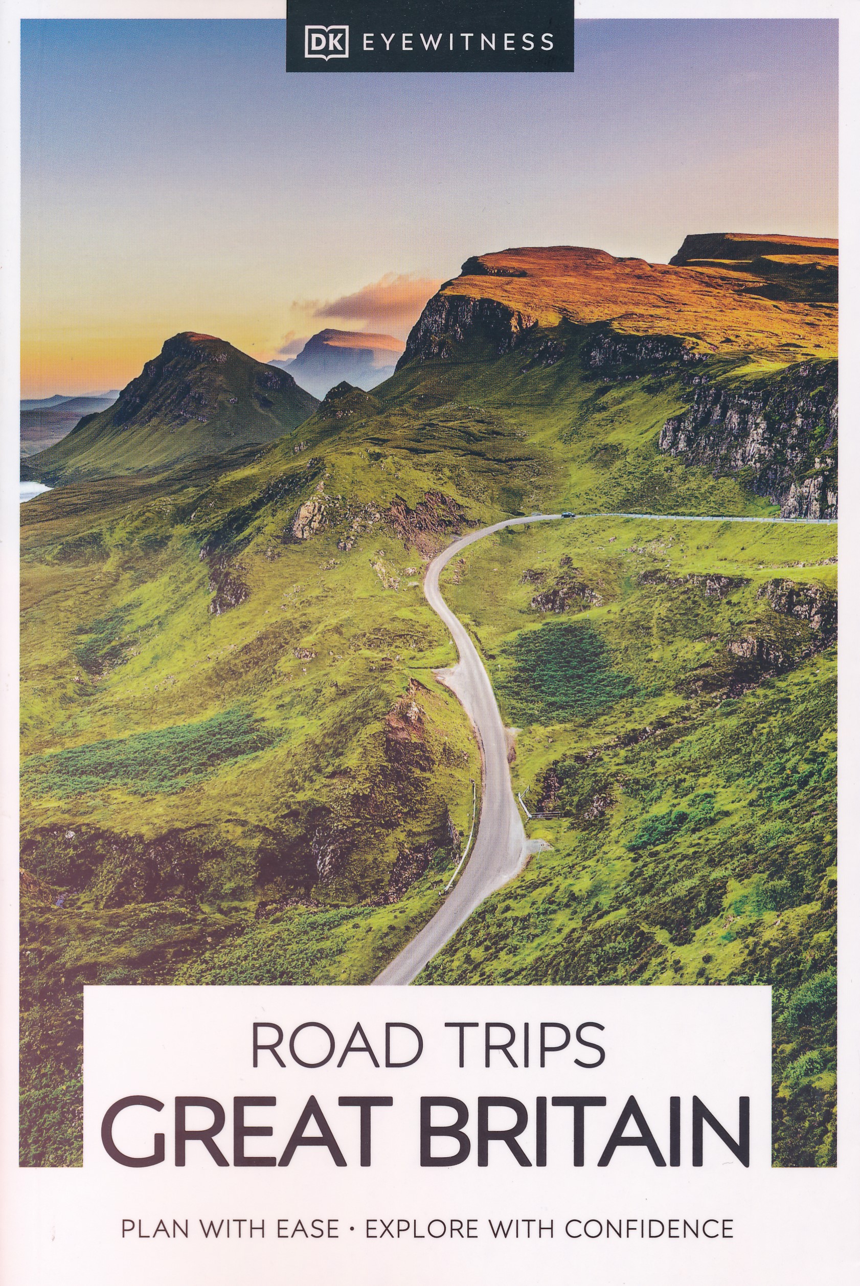
- Reisgids Road Trips Great Britain | Dorling Kindersley
- With its idyllic market towns, romantic castle ruins and stunning natural landscapes, Great Britain is the perfect destination for a leisurely road trip. It`s yours to explore with Road Trips Great Britain, which contains 25 drives across the country, from the sweeping sandy beaches of Cornwall to the dramatic peaks of the Scottish... Read more
- Also available from:
- Stanfords, United Kingdom

Stanfords
United Kingdom
2021
United Kingdom
2021
- DK Eyewitness Road Trips Great Britain
- With its idyllic market towns, romantic castle ruins and stunning natural landscapes, Great Britain is the perfect destination for a leisurely road trip. It`s yours to explore with Road Trips Great Britain, which contains 25 drives across the country, from the sweeping sandy beaches of Cornwall to the dramatic peaks of the Scottish... Read more
De Zwerver
Netherlands
2015
Netherlands
2015
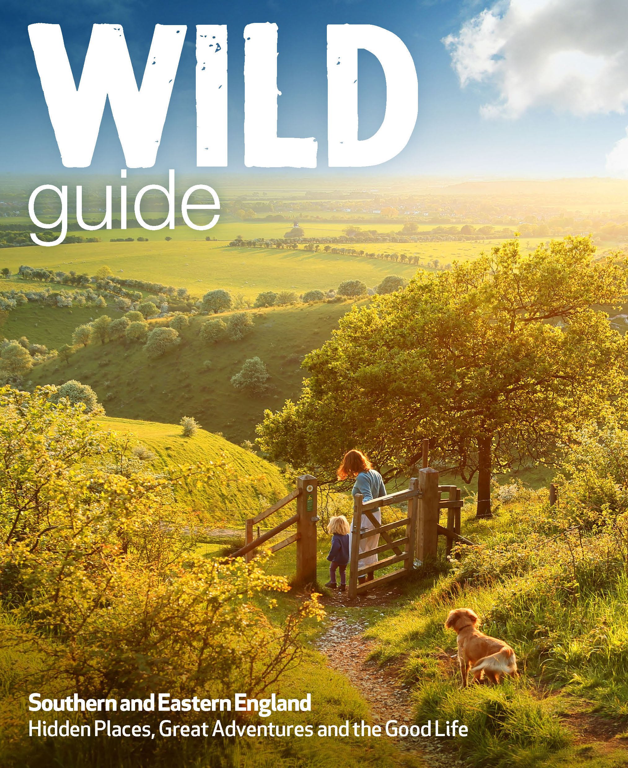
- Reisgids Wild Guide Southern and Eastern England - Engeland | Wild Things Publishing
- This compendium of adventures features the best wild places to visit in Southern and Eastern England, including ideas for local food and accommodation. Explore hidden gems, from the swimming rivers, secret beaches and lost ruins of Norfolk and Suffolk, to the ancient woods, meadows and orchards of Kent and Sussex. Featuring inspiring... Read more
- Also available from:
- Stanfords, United Kingdom

Stanfords
United Kingdom
2015
United Kingdom
2015
- Wild Guide Southern and Eastern England: Hidden Places, Great Adventures and the Good Life
- This compendium of adventures features the best wild places to visit in Southern and Eastern England, including ideas for local food and accommodation. Explore hidden gems, from the swimming rivers, secret beaches and lost ruins of Norfolk and Suffolk, to the ancient woods, meadows and orchards of Kent and Sussex. Featuring inspiring... Read more
De Zwerver
Netherlands
2020
Netherlands
2020
- Wandelgids Pilgrim Pathways | Trailblazer Guides
- Many people are inspired by the idea of going on a pilgrimage. TV series such as The Road to Rome and The Road to Santiago have shown that even the averagely unfit celeb can hobble through one. However, few of us have time for such long routes. So what to do?Pilgrim Pathways has the answer: 20 answers in fact. The pilgrimages in this guidebook... Read more
- Also available from:
- Stanfords, United Kingdom

Stanfords
United Kingdom
2020
United Kingdom
2020
- Pilgrim Pathways: 1-2 day walks on Britain`s Ancient Sacred Ways: 2020
- Many people are inspired by the idea of going on a pilgrimage. TV series such as The Road to Rome and The Road to Santiago have shown that even the averagely unfit celeb can hobble through one. However, few of us have time for such long routes. So what to do?Pilgrim Pathways has the answer: 20 answers in fact. The pilgrimages in this guidebook... Read more

De Zwerver
Netherlands
Netherlands
- Also available from:
- Stanfords, United Kingdom

Stanfords
United Kingdom
United Kingdom
- Reading & Windsor - Henley-on-Thames & Bracknell OS Landranger Map 175 (paper)
- Reading – Windsor area, including a section of the Thames Path / E2 European Long-distance Path, on a paper version of map No. 175 from the Ordnance Survey’s Landranger series at 1:50,000, with contoured and GPS compatible topographic mapping plus tourist information.MOBILE DOWNLOADS: As well as the physical edition of the map, each Landranger... Read more
De Zwerver
Netherlands
2022
Netherlands
2022
- Wegenkaart - landkaart National Park Pocket Map South Downs | Collins
- Handy little full colour map of South Downs National Park. Detailed mapping and visitor information to the National Park along with a selection of photographs. Map at a scale of 1:125 000 (1cm to 1.25km, 2.0 miles to 1 inch). This small map gives a great overview of the South Downs National Park, and is the perfect companion... Read more

De Zwerver
Netherlands
Netherlands
- Also available from:
- Stanfords, United Kingdom

Stanfords
United Kingdom
United Kingdom
- Birmingham, Wolverhampton & The Black Country OS Landranger Map 139 (paper)
- Birmingham with the surrounding area including the Black Country, Wolverhampton, Walsall, Solihull, Stourbridge, Bromsgrove and a section of the E2 European Long-distance Path on a paper version of map No. 139 from the Ordnance Survey’s Landranger series at 1:50,000, with contoured and GPS compatible topographic mapping plus tourist... Read more

De Zwerver
Netherlands
Netherlands
- Also available from:
- Stanfords, United Kingdom

Stanfords
United Kingdom
United Kingdom
- Kettering, Corby, Market Harborough & Stamford OS Landranger Map 141 (paper)
- The area around Kettering, Corby, Market Harborough and Stamford, including Rockingham Forest and part of the E2 European Long-distance Path, on a paper version of map No. 141 from the Ordnance Survey’s Landranger series at 1:50,000, with contoured and GPS compatible topographic mapping plus tourist information.MOBILE DOWNLOADS: As well as the... Read more
Bol.com
Netherlands
Netherlands
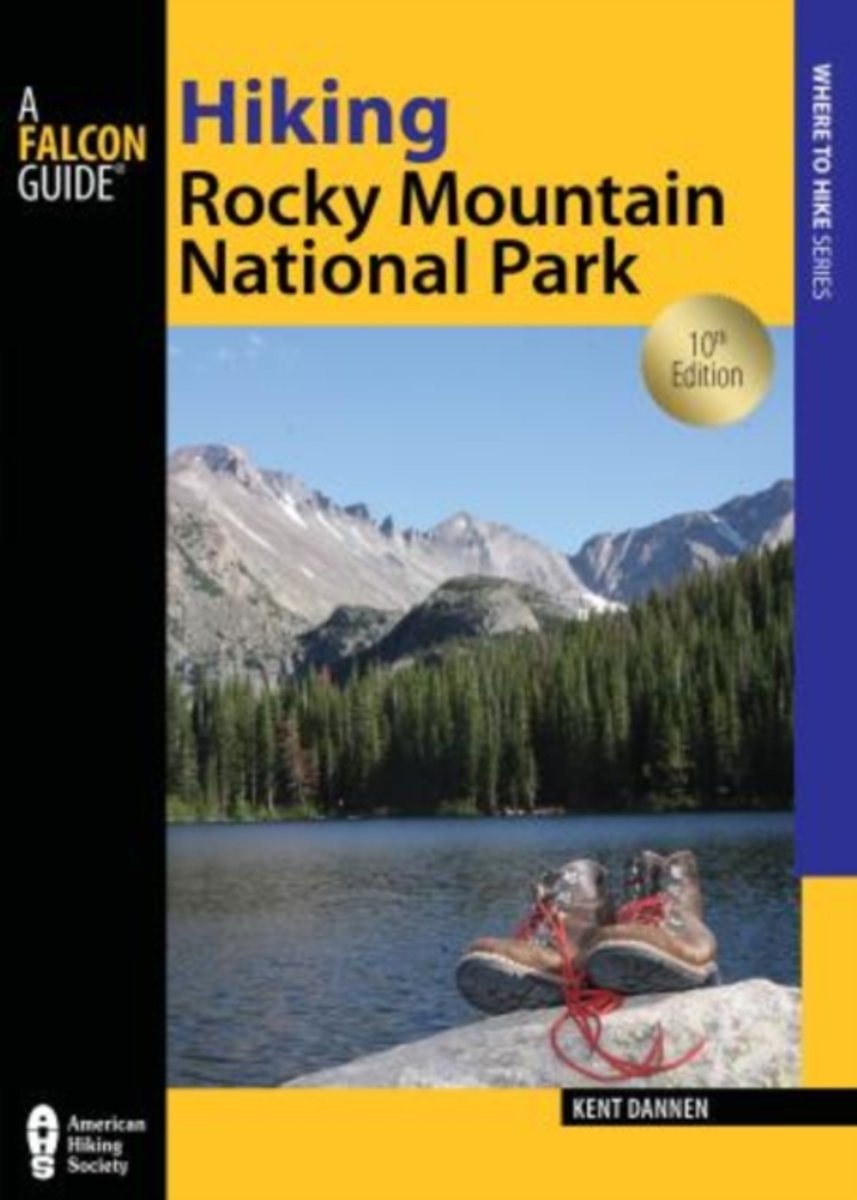
- Hiking Rocky Mountain National Park
- Lace up your boots and sample more than 450 miles of trails in Rocky Mountain National Park and the Indian Peaks Wilderness. Veteran hiker Kent Dannen introduces you to memorable trails highlighting the natural splendor of the Rockies. Each hike description includes detailed information on trail access, best times for hiking, and points of... Read more
- Also available from:
- Bol.com, Belgium
Bol.com
Belgium
Belgium
- Hiking Rocky Mountain National Park
- Lace up your boots and sample more than 450 miles of trails in Rocky Mountain National Park and the Indian Peaks Wilderness. Veteran hiker Kent Dannen introduces you to memorable trails highlighting the natural splendor of the Rockies. Each hike description includes detailed information on trail access, best times for hiking, and points of... Read more
Bol.com
Netherlands
2009
Netherlands
2009
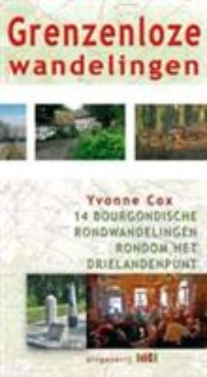
- Grenzeloze wandelingen
- Het gebied rondom Vaals is wereldberoemd in Nederland. Vanwege het Drielandenpunt, vanwege de hoogste berg van Nederland en vanwege het voor Nederland unieke landschap. Heerlijke vergezichten, uitgestrekte, beboste heuvels, uitstekende kerktorens en de gemoedelijke aard van zijn bewoners. Dat alles in combinatie met de Bourgondische manier van... Read more
- Also available from:
- Bol.com, Belgium
Bol.com
Belgium
2009
Belgium
2009
- Grenzeloze wandelingen
- Het gebied rondom Vaals is wereldberoemd in Nederland. Vanwege het Drielandenpunt, vanwege de hoogste berg van Nederland en vanwege het voor Nederland unieke landschap. Heerlijke vergezichten, uitgestrekte, beboste heuvels, uitstekende kerktorens en de gemoedelijke aard van zijn bewoners. Dat alles in combinatie met de Bourgondische manier van... Read more
Bol.com
Netherlands
Netherlands
- More Baskets And How To Make Them
- More Baskets AND How to Make Them MARY WHITE a Author of How to Make Baskets Illustrated from photographs, and drawings by the author GARDEN CITY NEW YORK DOUBLEDAY, PAGE COMPANY 1916 MORE BASKETS AND HOW TO MAKE THEM z - -2 1 r i c 5 Z c 2 L - L v 2 y T .C I n C C 2 2s - L M CLC g .E 2 Copyright. 1903, by Doubleday, Page Cornpant Publirhtd,... Read more
- Also available from:
- Bol.com, Belgium
Bol.com
Belgium
Belgium
- More Baskets And How To Make Them
- More Baskets AND How to Make Them MARY WHITE a Author of How to Make Baskets Illustrated from photographs, and drawings by the author GARDEN CITY NEW YORK DOUBLEDAY, PAGE COMPANY 1916 MORE BASKETS AND HOW TO MAKE THEM z - -2 1 r i c 5 Z c 2 L - L v 2 y T .C I n C C 2 2s - L M CLC g .E 2 Copyright. 1903, by Doubleday, Page Cornpant Publirhtd,... Read more
Bol.com
Netherlands
2016
Netherlands
2016
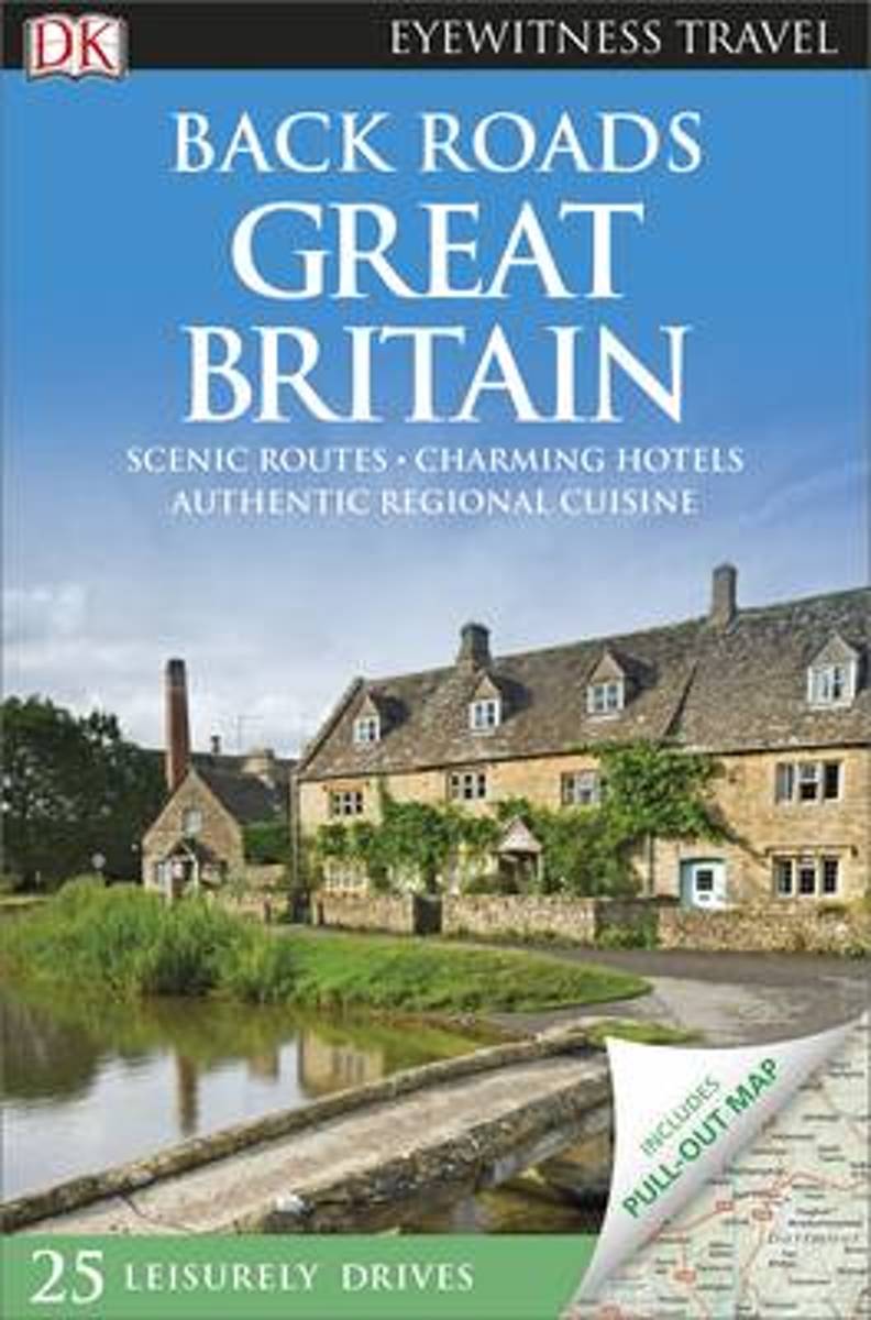
- Back Roads Great Britain
- Take to the open road with Back Roads Great Britain and discover 25 leisurely drives through the country's beautiful villages and stunning landscapes. Explore the spectacular scenery of the Lake District, follow a whisky trail through the Highlands or discover picturesque coastal villages in Cornwall. Packed with insider tips and information,... Read more
- Also available from:
- Bol.com, Belgium
Bol.com
Belgium
2016
Belgium
2016
- Back Roads Great Britain
- Take to the open road with Back Roads Great Britain and discover 25 leisurely drives through the country's beautiful villages and stunning landscapes. Explore the spectacular scenery of the Lake District, follow a whisky trail through the Highlands or discover picturesque coastal villages in Cornwall. Packed with insider tips and information,... Read more
Kaarten
De Zwerver
Netherlands
Netherlands

De Zwerver
Netherlands
Netherlands
- Wandelkaart - Fietskaart South Downs Way | Harvey Maps
- The South Downs Way, a 160km / 100 mile National Trail from Eastbourne to Winchester, presented at 1:40,000 on a light, waterproof and tear-resistant map from Harvey Map Services. The route is shown on nine panels, with additional small street plans of Eastbourne and Winchester. Map legend and the accompanying notes are also in French and... Read more
- Also available from:
- Stanfords, United Kingdom

Stanfords
United Kingdom
United Kingdom
- South Downs Way Harvey National Trail XT40
- The South Downs Way, a 160km / 100 mile National Trail from Eastbourne to Winchester, presented at 1:40,000 on a light, waterproof and tear-resistant map from Harvey Map Services. The route is shown on nine panels, with additional small street plans of Eastbourne and Winchester. Map legend and the accompanying notes are also in French and... Read more

De Zwerver
Netherlands
2022
Netherlands
2022
De Zwerver
Netherlands
2023
Netherlands
2023
De Zwerver
Netherlands
2018
Netherlands
2018
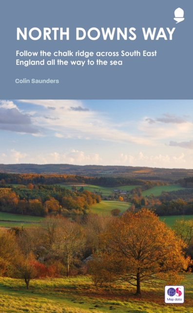
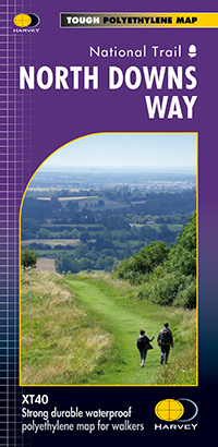
- Wandelkaart North Downs Way | Harvey Maps
- The whole of the North Downs Way, a 246km / 153 miles National Trail between Dover and Farnham, on a light, waterproof and tear-resistant map at 1:40,000 from Harvey Map Services presenting the route accompanied by extensive additional tourist information. This new edition published in autumn 2013 replaces the publishers Read more
- Also available from:
- Stanfords, United Kingdom

Stanfords
United Kingdom
2018
United Kingdom
2018
- North Downs Way Harvey National Trail XT40
- The whole of the North Downs Way, a 246km / 153 miles National Trail between Dover and Farnham, on a light, waterproof and tear-resistant map at 1:40,000 from Harvey Map Services presenting the route accompanied by extensive additional tourist information. This new edition published in autumn 2013 replaces the publishers’ previous coverage of... Read more
De Zwerver
Netherlands
Netherlands
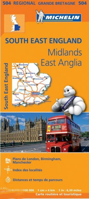
- Wegenkaart - landkaart 504 Southeast England - Zuid oost Engeland - Kent | Michelin
- MICHELIN REGION MIDLANDS EST-ANGLIELondres, Birmingham, Ile de Wight, Canterbury, Manchester , 3 régions sur une seule carte Read more

Bol.com
Netherlands
Netherlands
- England Coast Path Camber to Folkestone Adventure Map
- The A-Z Adventure Series of maps combines the best of OS and A-Z, creating the perfect companion for walkers, off-road cyclists, horse riders and anyone wishing to explore the great outdoors.This official Camber to Folkestone Adventure Map section of the England Coast Path, a new National Trail around England`s coast. More than just a path, it... Read more
- Also available from:
- Bol.com, Belgium
- Stanfords, United Kingdom
Bol.com
Belgium
Belgium
- England Coast Path Camber to Folkestone Adventure Map
- The A-Z Adventure Series of maps combines the best of OS and A-Z, creating the perfect companion for walkers, off-road cyclists, horse riders and anyone wishing to explore the great outdoors.This official Camber to Folkestone Adventure Map section of the England Coast Path, a new National Trail around England`s coast. More than just a path, it... Read more

Stanfords
United Kingdom
United Kingdom
- England Coast Path - Camber to Folkestone Adventure Map
- The A-Z Adventure Series of maps combines the best of OS and A-Z, creating the perfect companion for walkers, off-road cyclists, horse riders and anyone wishing to explore the great outdoors.This official Camber to Folkestone Adventure Map section of the England Coast Path, a new National Trail around England`s coast. More than just a path, it... Read more

Bol.com
Netherlands
Netherlands
- England Coast Path Folkestone to Ramsgate Adventure Map
- The A-Z Adventure Series of maps combines the best of OS and A-Z, creating the perfect companion for walkers, off-road cyclists, horse riders and anyone wishing to explore the great outdoors.This official Folkestone to Ramsgate Adventure Map section of the England Coast Path, a new National Trail around England`s coast. More than just a path,... Read more
- Also available from:
- Bol.com, Belgium
Bol.com
Belgium
Belgium
- England Coast Path Folkestone to Ramsgate Adventure Map
- The A-Z Adventure Series of maps combines the best of OS and A-Z, creating the perfect companion for walkers, off-road cyclists, horse riders and anyone wishing to explore the great outdoors.This official Folkestone to Ramsgate Adventure Map section of the England Coast Path, a new National Trail around England`s coast. More than just a path,... Read more

De Zwerver
Netherlands
Netherlands
- Wandelkaart WKE2 La Palma | Freytag & Berndt
- Uitstekende wandelkaart van La Palma, tweezijdig, met ingetekende routes, hoogtelijnen en andere belangrijke informatie. Ook met fietsroutes, bovendien GPS geschikt! Read more
- Also available from:
- Bol.com, Netherlands
- Bol.com, Belgium
- The Book Depository, United Kingdom

Bol.com
Netherlands
Netherlands
- FB WKE2 La Palma
- Dubbelzijdige wandel- en vrijetijdskaart • toeristische tips • stadsplattegronden • fietspaden en mountainbikeroutes • GPS-punten • ski- en langlaufroutes Read more
Bol.com
Belgium
Belgium
- FB WKE2 La Palma
- Dubbelzijdige wandel- en vrijetijdskaart • toeristische tips • stadsplattegronden • fietspaden en mountainbikeroutes • GPS-punten • ski- en langlaufroutes Read more

The Book Depository
United Kingdom
United Kingdom
- La Palma Hiking + Leisure Map 1:30 000
- Uitstekende wandelkaart van La Palma, tweezijdig, met ingetekende routes, hoogtelijnen en andere belangrijke informatie. Ook met fietsroutes, bovendien GPS geschikt! Read more

Stanfords
United Kingdom
United Kingdom
- Luxembourg North
- One of two topographic survey maps of Luxembourg at 1:50,000, with contours at 10-metres intervals and additional relief shading. An overprint highlights long-distance footpaths, including the GR5 (E-2), cycle routes, and various places of interest, including campsites. The map covers an area of approximately 53 x 43 km / 33 x 27 miles. Map... Read more

Stanfords
United Kingdom
United Kingdom
- Canterbury and East Kent 1816-1819
- Map No. 179, Canterbury and East Kent 1816-1819, in the Cassini Historical Series of old Ordnance Survey mapping of England and Wales at 1:50,000 in a format designed to offer a convenient comparison with the present day coverage from the OS, and most locations in three different editions. Old historical maps have been combined so that the... Read more

Stanfords
United Kingdom
United Kingdom
- Luxembourg South
- One of two topographic survey maps of Luxembourg at 1:50,000, with contours at 10-metres intervals and additional relief shading. An overprint highlights long-distance footpaths, including the GR5 (E-2), cycle routes, and various places of interest, including campsites. The map covers an area of approximately 53 x 43 km / 33 x 27 miles. Map... Read more

Stanfords
United Kingdom
2017
United Kingdom
2017
- South Downs Way A-Z Adventure Atlas
- The South Downs Way at 1:25,000 in a series of handy A5 size Adventure Atlases from Geographers` A-Z Map Company with cartography from the Ordnance Survey’s Explorer series. The atlas shows the whole course of this national trail from Winchester to Eastbourne, with the variants via the Beachy Head and the Seven Sisters, or via Jevington.To see... Read more