
London
Beschrijving
Capital of the United Kingdom. All sorts of walks. The Thames Path runs right through the city center and you can hop on the London Eye after being fooled at the ticket counter and view forward and backward on your trail.
Paden in deze regio
Links
Feiten
Verslagen
Gidsen en kaarten
Overnachting
Organisaties
Reisorganisaties
GPS
Anders
Boeken
De Zwerver
Netherlands
2019
Netherlands
2019


De Zwerver
Netherlands
Netherlands

De Zwerver
Netherlands
2018
Netherlands
2018
- Reisgids National Geographic Londen | Kosmos Uitgevers
- Reis door Londen onder begeleiding van National Geographic - sinds 1888 wereldwijd geroemd voor haar expedities, ontdekkingen en onderzoek. Deze exclusieve reisgids - met sublieme fotografie - neemt u mee naar de bekende en minder bekende bezienswaardigheden. De selectie is uniek en biedt u de kans om de stad te bereizen zoals dat nog nooit met... Read more
De Zwerver
Netherlands
2019
Netherlands
2019
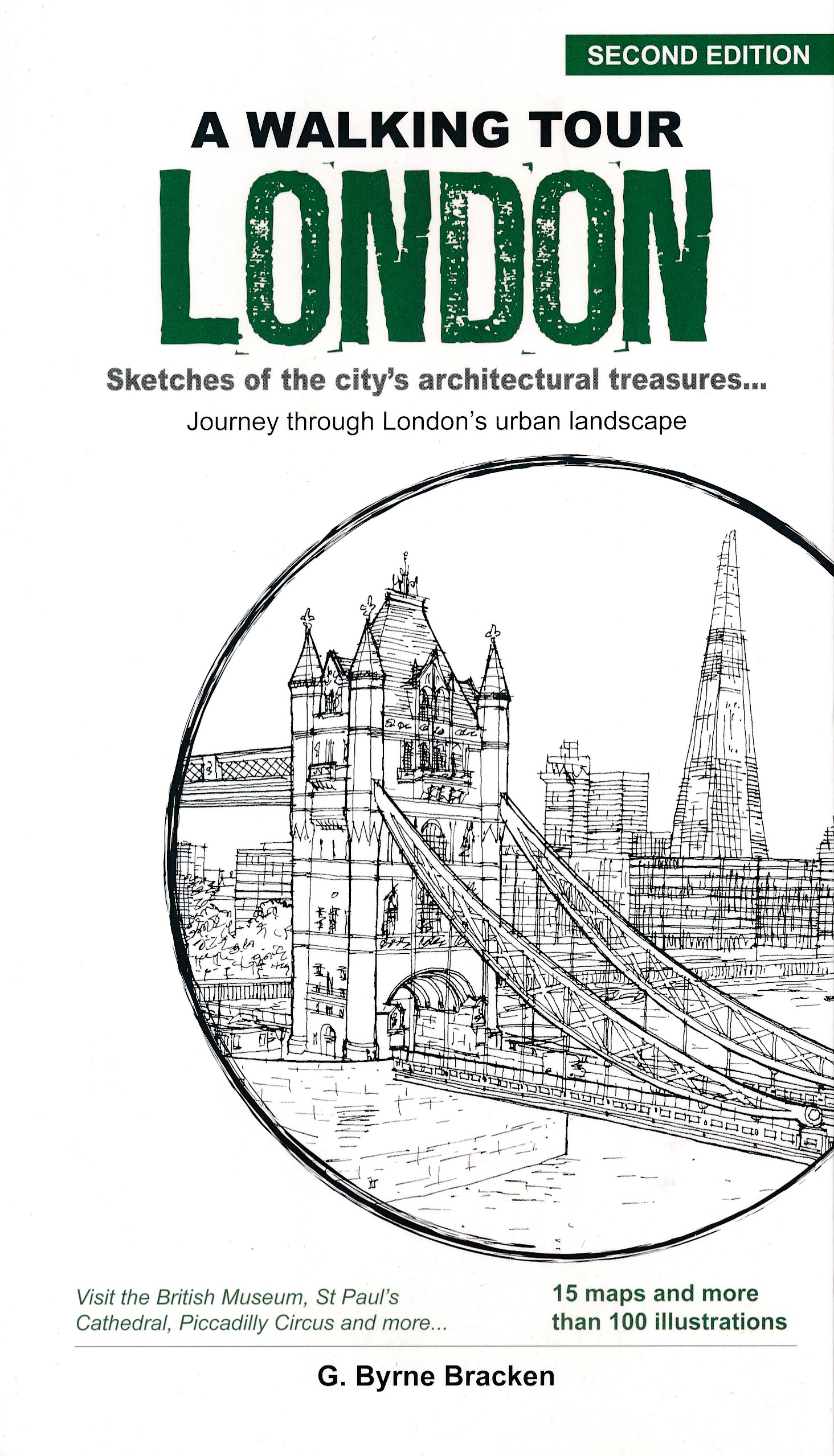
- Wandelgids A Walking Tour London | Marshall Cavendish
- Without a doubt one of the world`s greatest cities, London is inexhaustible in the riches it has to offer. And all its finest sights - from its Roman ruins, royal palaces, churches and abbeys, to the temples of commerce, street markets, parks and gardens - are, as many have learned, best discovered on foot. Let author Gregory Byrne Bracken... Read more
- Also available from:
- Stanfords, United Kingdom

Stanfords
United Kingdom
2019
United Kingdom
2019
- A Walking Tour London: Sketches of the City`s Architectural Treasures
- Without a doubt one of the world`s greatest cities, London is inexhaustible in the riches it has to offer. And all its finest sights - from its Roman ruins, royal palaces, churches and abbeys, to the temples of commerce, street markets, parks and gardens - are, as many have learned, best discovered on foot. Let author Gregory Byrne Bracken... Read more
De Zwerver
Netherlands
2020
Netherlands
2020
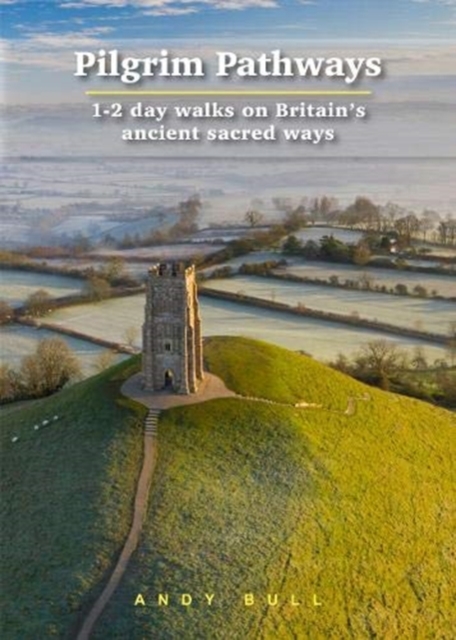
- Wandelgids Pilgrim Pathways | Trailblazer Guides
- Many people are inspired by the idea of going on a pilgrimage. TV series such as The Road to Rome and The Road to Santiago have shown that even the averagely unfit celeb can hobble through one. However, few of us have time for such long routes. So what to do?Pilgrim Pathways has the answer: 20 answers in fact. The pilgrimages in this guidebook... Read more
- Also available from:
- Stanfords, United Kingdom

Stanfords
United Kingdom
2020
United Kingdom
2020
- Pilgrim Pathways: 1-2 day walks on Britain`s Ancient Sacred Ways: 2020
- Many people are inspired by the idea of going on a pilgrimage. TV series such as The Road to Rome and The Road to Santiago have shown that even the averagely unfit celeb can hobble through one. However, few of us have time for such long routes. So what to do?Pilgrim Pathways has the answer: 20 answers in fact. The pilgrimages in this guidebook... Read more
De Zwerver
Netherlands
2022
Netherlands
2022


De Zwerver
Netherlands
2008
Netherlands
2008
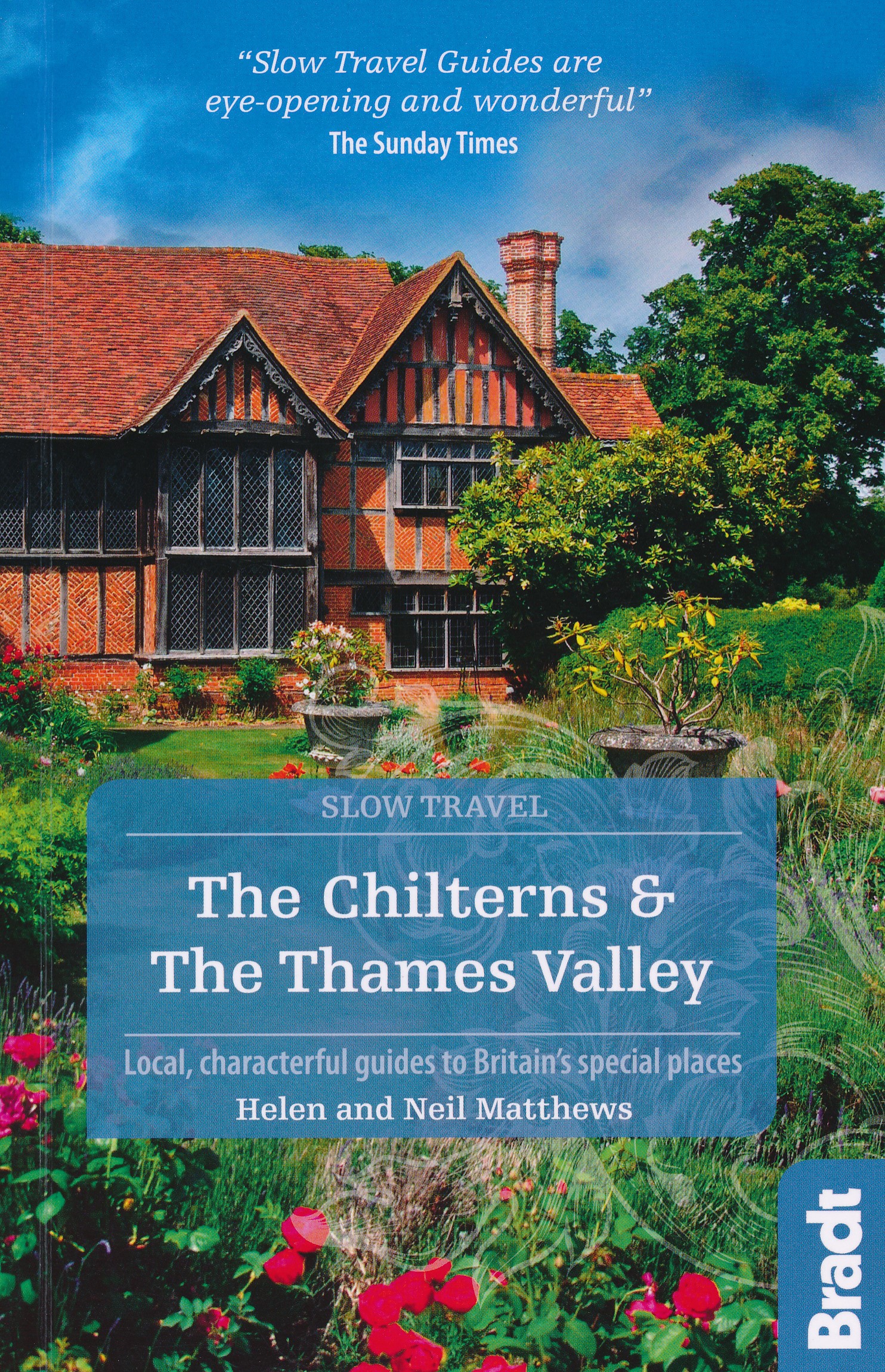
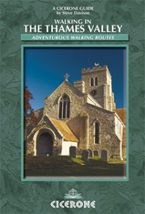
- Wandelgids Walking in the Thames Valley | Cicerone
- Walking in the Thames Valley describes 25 adventurous day walks in the area covering the North Hampshire Downs, Berkshire and the Southern Chilterns with easy access to London and Reading. The circular walks vary from 10 to 18 miles, including one two-day walk, as well as shorter route options for those who want a less strenuous day out. Read more
Meer boeken…
Kaarten
De Zwerver
Netherlands
2017
Netherlands
2017
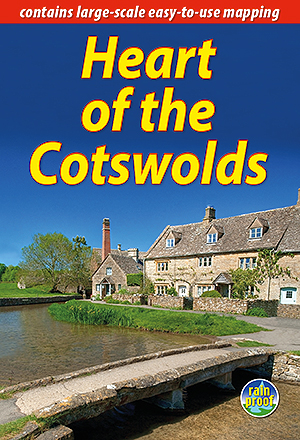
- Wandelgids Heart of the Cotswolds | Rucksack Readers
- The Cotswolds is quintessentially English, with its rich cultural history, medieval `wool` churches and charming domestic architecture of stone, slate and thatch. The book offers three options for walking in the heart of this wonderful area: a 94-mile (151-km) grand tour starting from Cheltenham, and two shorter circuits. These options cater... Read more
- Also available from:
- Stanfords, United Kingdom

Stanfords
United Kingdom
2017
United Kingdom
2017
- Heart of the Cotswolds
- The Cotswolds is quintessentially English, with its rich cultural history, medieval `wool` churches and charming domestic architecture of stone, slate and thatch. The book offers three options for walking in the heart of this wonderful area: a 94-mile (151-km) grand tour starting from Cheltenham, and two shorter circuits. These options cater... Read more
De Zwerver
Netherlands
Netherlands


De Zwerver
Netherlands
Netherlands
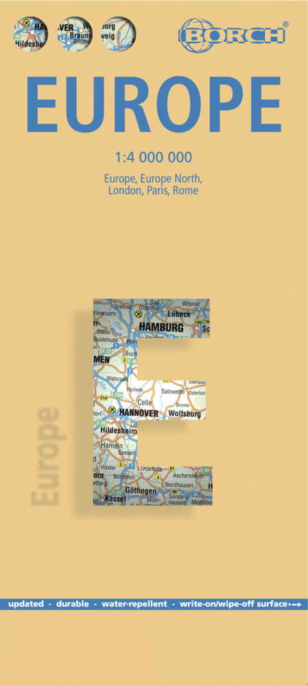
- Wegenkaart - landkaart Europa - Europe | Borch
- Europa / Europe 1 : 4 000 000 ab 9.9 EURO Europe 1 : 4 000 000, Europe North, London, Paris, Rome/Roma / updated / durable / water-repellent / write-on/wipe-off surface Borch Maps. 15. Auflage Read more
Bol.com
Netherlands
2017
Netherlands
2017
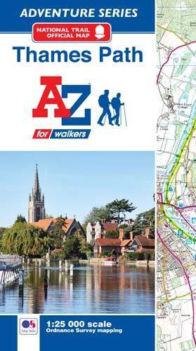
- Thames Path Adventure Atlas
- The A-Z Adventure series features the accuracy and quality of Ordnance Survey`s Explorer mapping in a convenient book, therefore eliminating the need to fold and re-fold a large sheet map to the desired area. OS Explorer is Ordnance Survey`s most detailed mapping at a scale of 1:25 000 showing public rights of way, open access land, national... Read more
- Also available from:
- Bol.com, Belgium
- Stanfords, United Kingdom
Bol.com
Belgium
2017
Belgium
2017
- Thames Path Adventure Atlas
- The A-Z Adventure series features the accuracy and quality of Ordnance Survey`s Explorer mapping in a convenient book, therefore eliminating the need to fold and re-fold a large sheet map to the desired area. OS Explorer is Ordnance Survey`s most detailed mapping at a scale of 1:25 000 showing public rights of way, open access land, national... Read more
Stanfords
United Kingdom
2017
United Kingdom
2017
- Thames Path A-Z Adventure Atlas
- The A-Z Adventure series features the accuracy and quality of Ordnance Survey`s Explorer mapping in a convenient book, therefore eliminating the need to fold and re-fold a large sheet map to the desired area. OS Explorer is Ordnance Survey`s most detailed mapping at a scale of 1:25 000 showing public rights of way, open access land, national... Read more
De Zwerver
Netherlands
Netherlands
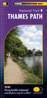
- Wandelkaart Thames Path | Harvey Maps
- Mooie, duidelijke kaart van het Thames Path in Engeland. Geplastificeerd met veel extra informatie en uitsnedes van de route. Thames Path National Trail The Thames Path follows the banks of the river for 184 miles (294KM) from the flood barrier at Woolwich in South East London to Kemble Gloucestershire. It is a long distance walking route, most... Read more
- Also available from:
- Bol.com, Netherlands
- Bol.com, Belgium
- The Book Depository, United Kingdom

Bol.com
Netherlands
Netherlands
- Thames Path
- Mooie, duidelijke kaart van het Thames Path in Engeland. Geplastificeerd met veel extra informatie en uitsnedes van de route. Thames Path National Trail The Thames Path follows the banks of the river for 184 miles (294KM) from the flood barrier at Woolwich in South East London to Kemble Gloucestershire. It is a long distance walking route, most... Read more
Bol.com
Belgium
Belgium
- Thames Path
- Mooie, duidelijke kaart van het Thames Path in Engeland. Geplastificeerd met veel extra informatie en uitsnedes van de route. Thames Path National Trail The Thames Path follows the banks of the river for 184 miles (294KM) from the flood barrier at Woolwich in South East London to Kemble Gloucestershire. It is a long distance walking route, most... Read more

The Book Depository
United Kingdom
United Kingdom
- Thames Path
- Mooie, duidelijke kaart van het Thames Path in Engeland. Geplastificeerd met veel extra informatie en uitsnedes van de route. Thames Path National Trail The Thames Path follows the banks of the river for 184 miles (294KM) from the flood barrier at Woolwich in South East London to Kemble Gloucestershire. It is a long distance walking route, most... Read more

De Zwerver
Netherlands
Netherlands
- Wandelkaart WKE2 La Palma | Freytag & Berndt
- Uitstekende wandelkaart van La Palma, tweezijdig, met ingetekende routes, hoogtelijnen en andere belangrijke informatie. Ook met fietsroutes, bovendien GPS geschikt! Read more
- Also available from:
- Bol.com, Netherlands
- Bol.com, Belgium
- The Book Depository, United Kingdom

Bol.com
Netherlands
Netherlands
- FB WKE2 La Palma
- Dubbelzijdige wandel- en vrijetijdskaart • toeristische tips • stadsplattegronden • fietspaden en mountainbikeroutes • GPS-punten • ski- en langlaufroutes Read more
Bol.com
Belgium
Belgium
- FB WKE2 La Palma
- Dubbelzijdige wandel- en vrijetijdskaart • toeristische tips • stadsplattegronden • fietspaden en mountainbikeroutes • GPS-punten • ski- en langlaufroutes Read more

The Book Depository
United Kingdom
United Kingdom
- La Palma Hiking + Leisure Map 1:30 000
- Uitstekende wandelkaart van La Palma, tweezijdig, met ingetekende routes, hoogtelijnen en andere belangrijke informatie. Ook met fietsroutes, bovendien GPS geschikt! Read more

Bol.com
Netherlands
Netherlands
- England Coast Path Camber to Folkestone Adventure Map
- The A-Z Adventure Series of maps combines the best of OS and A-Z, creating the perfect companion for walkers, off-road cyclists, horse riders and anyone wishing to explore the great outdoors.This official Camber to Folkestone Adventure Map section of the England Coast Path, a new National Trail around England`s coast. More than just a path, it... Read more
- Also available from:
- Bol.com, Belgium
- Stanfords, United Kingdom
Bol.com
Belgium
Belgium
- England Coast Path Camber to Folkestone Adventure Map
- The A-Z Adventure Series of maps combines the best of OS and A-Z, creating the perfect companion for walkers, off-road cyclists, horse riders and anyone wishing to explore the great outdoors.This official Camber to Folkestone Adventure Map section of the England Coast Path, a new National Trail around England`s coast. More than just a path, it... Read more

Stanfords
United Kingdom
United Kingdom
- England Coast Path - Camber to Folkestone Adventure Map
- The A-Z Adventure Series of maps combines the best of OS and A-Z, creating the perfect companion for walkers, off-road cyclists, horse riders and anyone wishing to explore the great outdoors.This official Camber to Folkestone Adventure Map section of the England Coast Path, a new National Trail around England`s coast. More than just a path, it... Read more

Bol.com
Netherlands
Netherlands
- England Coast Path Folkestone to Ramsgate Adventure Map
- The A-Z Adventure Series of maps combines the best of OS and A-Z, creating the perfect companion for walkers, off-road cyclists, horse riders and anyone wishing to explore the great outdoors.This official Folkestone to Ramsgate Adventure Map section of the England Coast Path, a new National Trail around England`s coast. More than just a path,... Read more
- Also available from:
- Bol.com, Belgium
Bol.com
Belgium
Belgium
- England Coast Path Folkestone to Ramsgate Adventure Map
- The A-Z Adventure Series of maps combines the best of OS and A-Z, creating the perfect companion for walkers, off-road cyclists, horse riders and anyone wishing to explore the great outdoors.This official Folkestone to Ramsgate Adventure Map section of the England Coast Path, a new National Trail around England`s coast. More than just a path,... Read more

Stanfords
United Kingdom
United Kingdom
- England Coast Path Adventure Map - Minehead to Brean Down
- The A-Z Adventure Series of maps combines the best of OS and A-Z, creating the perfect companion for walkers, off-road cyclists, horse riders and anyone wishing to explore the great outdoors.This official Minehead to Brean Down Adventure Map covers a 58 mile (93km) section of the England Coast Path, a new National Trail around England`s coast.... Read more

Stanfords
United Kingdom
United Kingdom
- Ontario MapArt Pocket Road Atlas
- Pocket road atlas of Ontario presenting the southern part of the province at 1:700,000 with the northern part at 1:1,500,000, plus enlargements showing in greater detail 25 municipal areas and downtown street plans for 21 locations, a map showing Highway Service Centres, etc..The atlas presents the southern part of the province at 1:700,000,... Read more
Stanfords
United Kingdom
United Kingdom
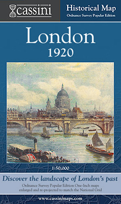
- London 1920
- London in 1920 in the Cassini Historical Series reproducing old Ordnance Survey mapping of England and Wales at 1:50,000. The four London maps cover roughly the area of the present day Greater London rather than following the format of rest of the series which is designed to correspond to the current Landranger maps. Mapping is identical to the... Read more