
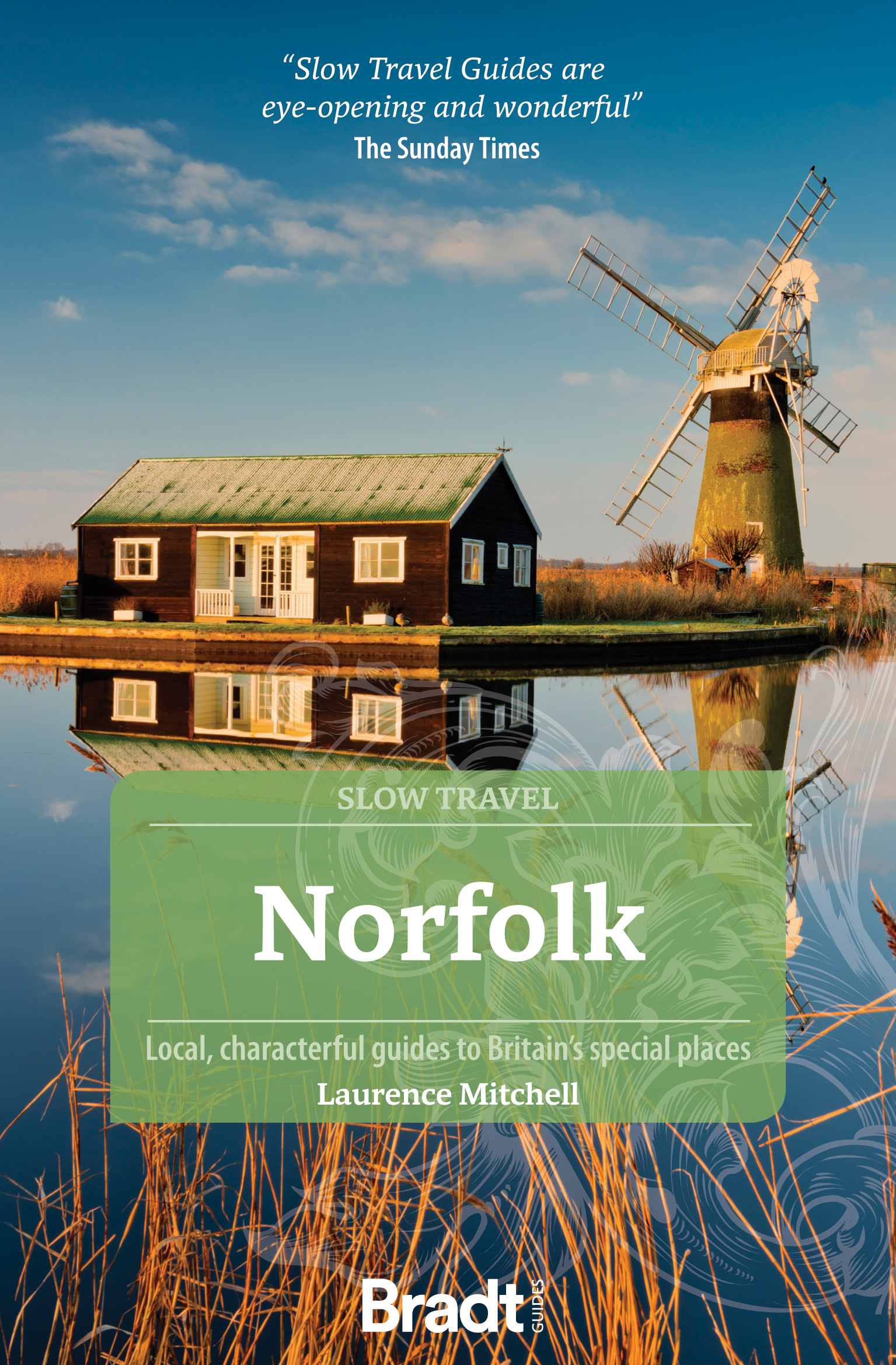
Norfolk
Beschrijving
County in eastern England. The pretty North Sea coastline in the north can be walked via the Norfolk Coast Path, a National Trail. More to the south, the coastline has fine beaches and many holiday resorts. Inland Norfolk is flat.
Paden in deze regio
Links
Feiten
Verslagen
Gidsen en kaarten
Overnachting
Organisaties
Reisorganisaties
GPS
Anders
Boeken
De Zwerver
Netherlands
2015
Netherlands
2015
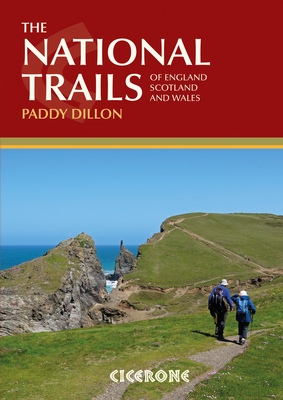
- Wandelgids the National Trails - Great British Walks - Engeland, Wales en Schotland | Cicerone
- This inspirational guidebook looks at each of the UK's 19 National Trails, with information that allows ease of comparison and contrast, inspiring you to find out more and to take up a long-distance challenge. Some Trails are short and easy, others much longer, many have strong themes - they may follow a coastline, or traverse ranges of hills. Read more
De Zwerver
Netherlands
2021
Netherlands
2021
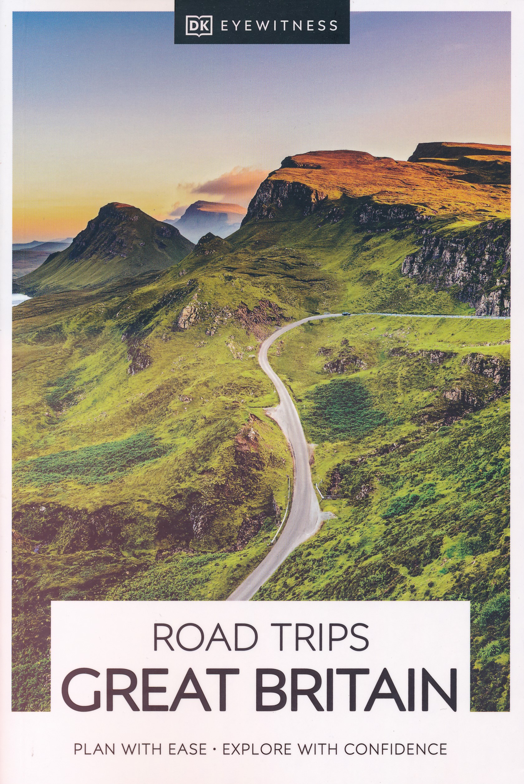
- Reisgids Road Trips Great Britain | Dorling Kindersley
- With its idyllic market towns, romantic castle ruins and stunning natural landscapes, Great Britain is the perfect destination for a leisurely road trip. It`s yours to explore with Road Trips Great Britain, which contains 25 drives across the country, from the sweeping sandy beaches of Cornwall to the dramatic peaks of the Scottish... Read more
- Also available from:
- Stanfords, United Kingdom

Stanfords
United Kingdom
2021
United Kingdom
2021
- DK Eyewitness Road Trips Great Britain
- With its idyllic market towns, romantic castle ruins and stunning natural landscapes, Great Britain is the perfect destination for a leisurely road trip. It`s yours to explore with Road Trips Great Britain, which contains 25 drives across the country, from the sweeping sandy beaches of Cornwall to the dramatic peaks of the Scottish... Read more
De Zwerver
Netherlands
2021
Netherlands
2021
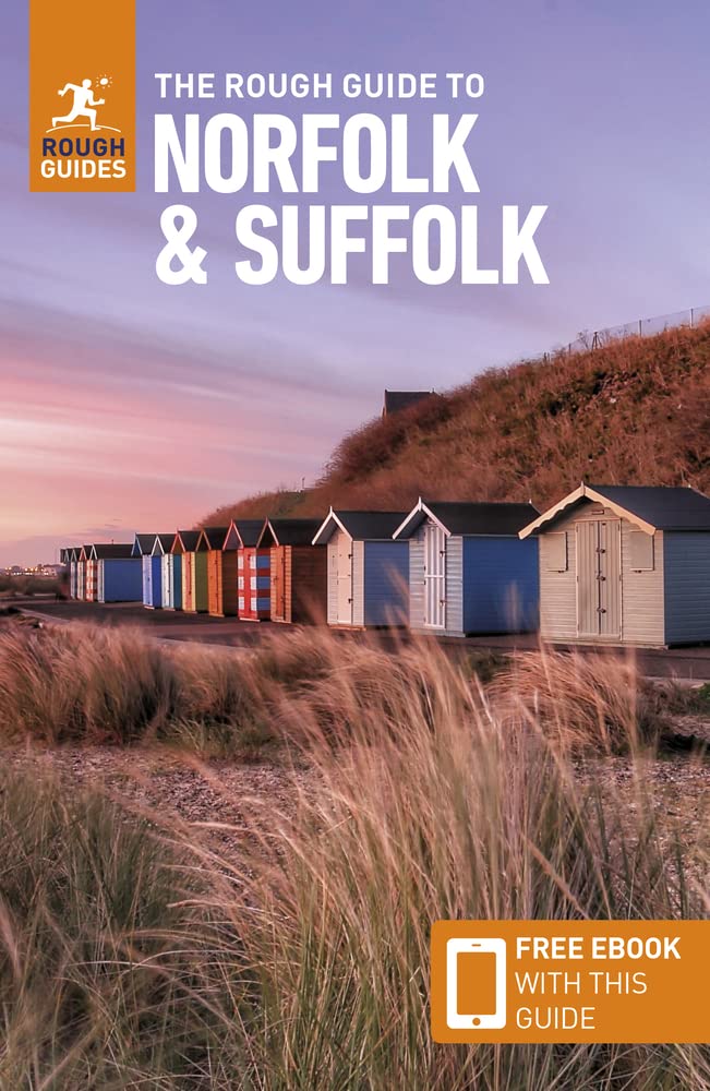
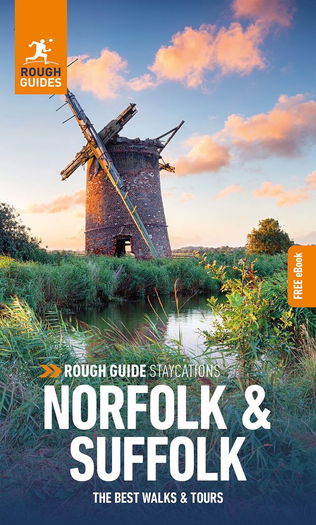
- Reisgids Norfolk & Suffolk | Rough Guides
- Rough Guides Staycations Norfolk & SuffolkMake the most of your time on Earth with the ultimate travel guides.Inspirational and informative new pocket guide, with free eBook, making the most of holidaying at home in the UK through clearly laid-out walks and tours.Explore the best of Norfolk & Suffolk with this unique travel guide, packed full... Read more
- Also available from:
- Stanfords, United Kingdom

Stanfords
United Kingdom
2021
United Kingdom
2021
- Pocket Rough Guide Staycations Norfolk & Suffolk (Travel Guide with Free eBook)
- Rough Guides Staycations Norfolk & SuffolkMake the most of your time on Earth with the ultimate travel guides.Inspirational and informative new pocket guide, with free eBook, making the most of holidaying at home in the UK through clearly laid-out walks and tours.Explore the best of Norfolk & Suffolk with this unique travel guide, packed full... Read more

De Zwerver
Netherlands
2015
Netherlands
2015
- Reisgids Wild Guide Southern and Eastern England - Engeland | Wild Things Publishing
- This compendium of adventures features the best wild places to visit in Southern and Eastern England, including ideas for local food and accommodation. Explore hidden gems, from the swimming rivers, secret beaches and lost ruins of Norfolk and Suffolk, to the ancient woods, meadows and orchards of Kent and Sussex. Featuring inspiring... Read more
- Also available from:
- Stanfords, United Kingdom

Stanfords
United Kingdom
2015
United Kingdom
2015
- Wild Guide Southern and Eastern England: Hidden Places, Great Adventures and the Good Life
- This compendium of adventures features the best wild places to visit in Southern and Eastern England, including ideas for local food and accommodation. Explore hidden gems, from the swimming rivers, secret beaches and lost ruins of Norfolk and Suffolk, to the ancient woods, meadows and orchards of Kent and Sussex. Featuring inspiring... Read more
De Zwerver
Netherlands
2021
Netherlands
2021
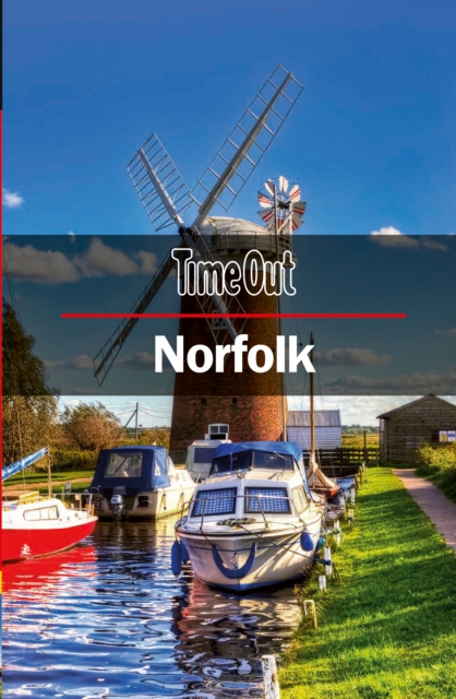
- Reisgids Norfolk | Time Out
- Escape to Norfolk with the Time Out Norfolk guide and uncover the best this wonderful county has to offer. We`ve used our local knowledge to reveal the best of the county and while we`ve included all the big attractions, we`ve gone beneath the surface to uncover plenty of small or hidden treasures too. With miles of magnificent coastline, walks... Read more
- Also available from:
- Stanfords, United Kingdom

Stanfords
United Kingdom
2021
United Kingdom
2021
- Time Out Norfolk
- Escape to Norfolk with the Time Out Norfolk guide and uncover the best this wonderful county has to offer. We`ve used our local knowledge to reveal the best of the county and while we`ve included all the big attractions, we`ve gone beneath the surface to uncover plenty of small or hidden treasures too. With miles of magnificent coastline, walks... Read more
De Zwerver
Netherlands
Netherlands
- Also available from:
- Stanfords, United Kingdom

Stanfords
United Kingdom
United Kingdom
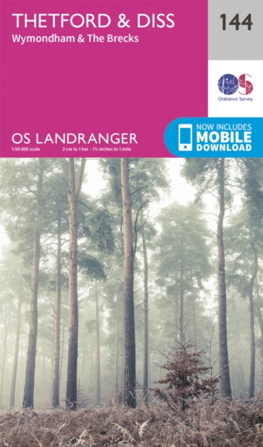
- Thetford, Diss, Breckland & Wymondham OS Landranger Map 144 (paper)
- Norfolk around Thetford, Diss, Breckland and Wymondham, including the southern part of the Peddars Wat and Norfolk Coast Path long-distance trail, on a paper version of map No. 144 from the Ordnance Survey’s Landranger series at 1:50,000, with contoured and GPS compatible topographic mapping plus tourist information.MOBILE DOWNLOADS: As well as... Read more
De Zwerver
Netherlands
2015
Netherlands
2015
- Also available from:
- Stanfords, United Kingdom

Stanfords
United Kingdom
2015
United Kingdom
2015
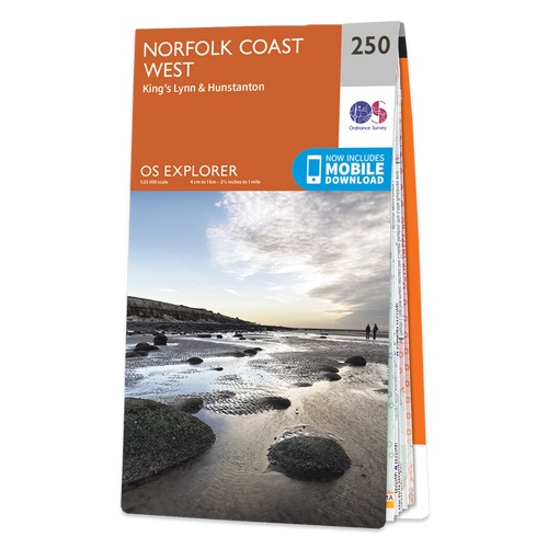
- Norfolk Coast West - King`s Lynn & Hunstanton OS Explorer Map 250 (paper)
- Norfolk Coast West, King`s Lynn and Hunstanton area on a detailed topographic and GPS compatible map No. 250, paper version, from the Ordnance Survey’s 1:25,000 Explorer series.MOBILE DOWNLOADS: this title and all the other OS Explorer maps include a code for downloading after purchase the digital version onto your smartphone or tablet for... Read more
De Zwerver
Netherlands
2015
Netherlands
2015
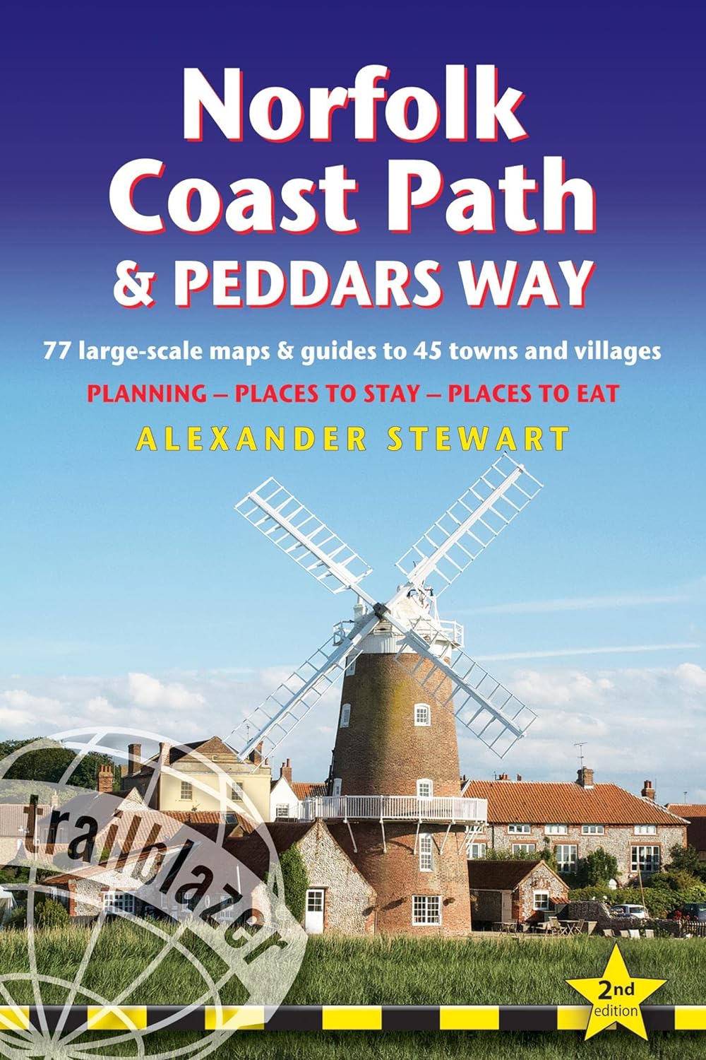
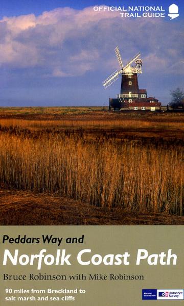
- Wandelgids Peddars Way and Norfolk Coast Path | Aurum Press
- Gedetailleerde routebeschrijving. De kaartjes zijn uitstekend (1:25.000 in kleur). Met goede achtergrondinformatie over de streek, maar de informatie omtrent accommodatie onderweg is zeer beperkt. Kijk daarvoor op de site van de engelse wandelvereninging: de Ramblers Organisation The Peddars Way and Norfolk Coast Path together form the 93-mile... Read more
- Also available from:
- Bol.com, Netherlands
- Bol.com, Belgium
- Stanfords, United Kingdom
- The Book Depository, United Kingdom
Bol.com
Netherlands
2015
Netherlands
2015
- Peddars Way and Norfolk Coast Path
- Running 93 miles from the heathland and forest on the Norfolk-Suffolk border, via stunning sandy beaches, picturesque villages and wild, empty salt marsh to the traditional seaside resort of Cromer on the north Norfolk coast, the Peddars Way and Norfolk Coast Path is a wonderfully varied and interesting National Trail. There is the... Read more
Bol.com
Belgium
2015
Belgium
2015
- Peddars Way and Norfolk Coast Path
- Running 93 miles from the heathland and forest on the Norfolk-Suffolk border, via stunning sandy beaches, picturesque villages and wild, empty salt marsh to the traditional seaside resort of Cromer on the north Norfolk coast, the Peddars Way and Norfolk Coast Path is a wonderfully varied and interesting National Trail. There is the... Read more

Stanfords
United Kingdom
2015
United Kingdom
2015
- Peddars Way and Norfolk Coast Path National Trail
- The Peddars Way and Norfolk Coast Path, a 150-km/92 mile route across Norfolk and around its northern coast between Hunstanton and Cromer, in a series of walking guides to the National Trails in England and Wales with colour extracts from the Ordnance Survey`s Explorer series at 1:25,000 showing points along the route cross-referenced to the... Read more

The Book Depository
United Kingdom
2015
United Kingdom
2015
- Peddars Way and Norfolk Coast Path
- National Trail Guide Read more
Bol.com
Netherlands
2017
Netherlands
2017
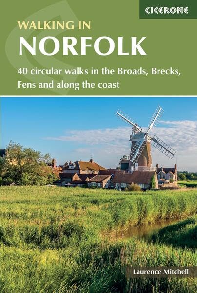
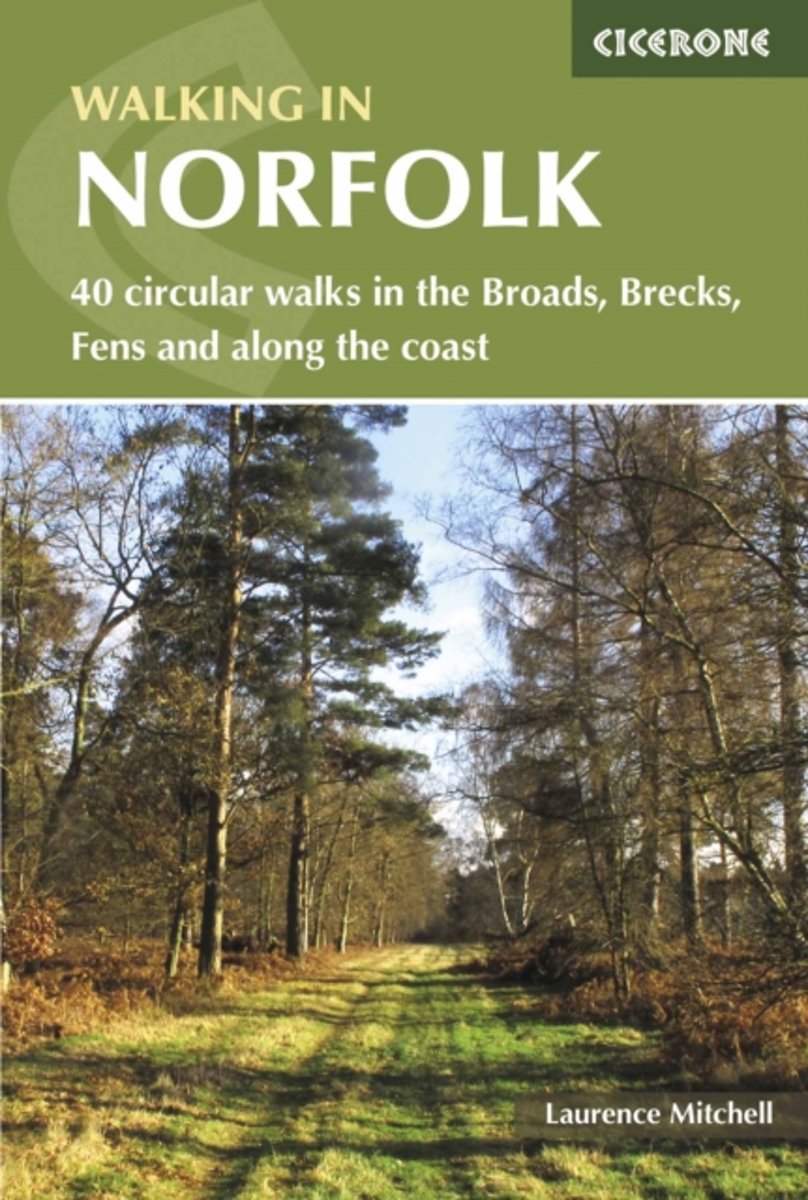
- Walking in Norfolk
- This book describes 40 easy-to-moderate circular day walks, grouped by area: Northeast coast and the Broads; South Norfolk, the Yare and the Waveney; North Norfolk and coast; Central Norfolk and Breckland and West Norfolk and Fens. Each walk is described step-by-step, illustrated with 1:40K OS map extracts and packed with historical, geological... Read more
- Also available from:
- Bol.com, Belgium
- Stanfords, United Kingdom
- The Book Depository, United Kingdom
Bol.com
Belgium
2017
Belgium
2017
- Walking in Norfolk
- This book describes 40 easy-to-moderate circular day walks, grouped by area: Northeast coast and the Broads; South Norfolk, the Yare and the Waveney; North Norfolk and coast; Central Norfolk and Breckland and West Norfolk and Fens. Each walk is described step-by-step, illustrated with 1:40K OS map extracts and packed with historical, geological... Read more

Stanfords
United Kingdom
2017
United Kingdom
2017
- Walking in Norfolk: 40 Circular Walks in the Broads, Brecks, Fens and Along the Coast
- This book describes 40 easy-to-moderate circular day walks, grouped by area: Northeast coast and the Broads; South Norfolk, the Yare and the Waveney; North Norfolk and coast; Central Norfolk and Breckland and West Norfolk and Fens. Each walk is described step-by-step, illustrated with 1:40K OS map extracts and packed with historical, geological... Read more

The Book Depository
United Kingdom
2017
United Kingdom
2017
- Walking in Norfolk
- 40 circular walks in the Broads, Brecks, Fens and along the coast Read more

Bol.com
Netherlands
Netherlands
- Amazing Railways
- AUTHORS` NOTE:Boys, boys, boys.... An infant baby-boy enjoys the cartoony micro-world where trains, trams, monorails, tunnels, bridges are recurring themes. Bedtime can be a battle at times, but baby-boy usually cooperates once he puts his head on a pillow with train, taking that train to his dreams. Then he plays with Chubby Choo Choo soft... Read more
- Also available from:
- Bol.com, Belgium
Bol.com
Belgium
Belgium
- Amazing Railways
- AUTHORS` NOTE:Boys, boys, boys.... An infant baby-boy enjoys the cartoony micro-world where trains, trams, monorails, tunnels, bridges are recurring themes. Bedtime can be a battle at times, but baby-boy usually cooperates once he puts his head on a pillow with train, taking that train to his dreams. Then he plays with Chubby Choo Choo soft... Read more
Bol.com
Netherlands
Netherlands
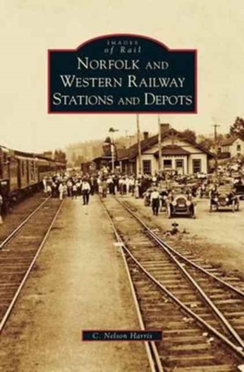
- Norfolk and Western Railway Stations and Depots
- The tracks of the Norfolk and Western Railway snaked through Virginia’s Shenandoah Valley and the coalfields of West Virginia. For nearly 100 years, the Norfolk and Western brought freight, passengers, and economic vitality to large cities and rural mining towns. At each stop was the depot or station; some stations were large, architecturally... Read more
- Also available from:
- Bol.com, Belgium
Bol.com
Belgium
Belgium
- Norfolk and Western Railway Stations and Depots
- The tracks of the Norfolk and Western Railway snaked through Virginia’s Shenandoah Valley and the coalfields of West Virginia. For nearly 100 years, the Norfolk and Western brought freight, passengers, and economic vitality to large cities and rural mining towns. At each stop was the depot or station; some stations were large, architecturally... Read more
Kaarten
De Zwerver
Netherlands
2023
Netherlands
2023

Stanfords
United Kingdom
United Kingdom
- North West Norfolk 1824-1838
- Map No. 132, North West Norfolk 1824-1838, in the Cassini Historical Series of old Ordnance Survey mapping of England and Wales at 1:50,000 in a format designed to offer a convenient comparison with the present day coverage from the OS, and most locations in three different editions. Old historical maps have been combined so that the sheet... Read more
Stanfords
United Kingdom
United Kingdom
- North East Norfolk 1838
- Map No. 133, North East Norfolk 1838, in the Cassini Historical Series of old Ordnance Survey mapping of England and Wales at 1:50,000 in a format designed to offer a convenient comparison with the present day coverage from the OS, and most locations in three different editions. Old historical maps have been combined so that the sheet lines... Read more
Stanfords
United Kingdom
United Kingdom
- North West Norfolk 1921-1922
- Map No. 132, North West Norfolk 1921-1922, in the Cassini Historical Series of old Ordnance Survey mapping of England and Wales at 1:50,000 in a format designed to offer a convenient comparison with the present day coverage from the OS, and most locations in three different editions. Old historical maps have been combined so that the sheet... Read more
Stanfords
United Kingdom
United Kingdom
- North East Norfolk 1921-1922
- Map No. 133, North East Norfolk 1921-1922, in the Cassini Historical Series of old Ordnance Survey mapping of England and Wales at 1:50,000 in a format designed to offer a convenient comparison with the present day coverage from the OS, and most locations in three different editions. Old historical maps have been combined so that the sheet... Read more
Stanfords
United Kingdom
United Kingdom
- North West Norfolk 1901-1902
- Map No. 132, North West Norfolk 1901-1902, in the Cassini Historical Series of old Ordnance Survey mapping of England and Wales at 1:50,000 in a format designed to offer a convenient comparison with the present day coverage from the OS, and most locations in three different editions. Old historical maps have been combined so that the sheet... Read more
Stanfords
United Kingdom
United Kingdom
- North East Norfolk 1901-1902
- Map No. 133, North East Norfolk 1901-1902, in the Cassini Historical Series of old Ordnance Survey mapping of England and Wales at 1:50,000 in a format designed to offer a convenient comparison with the present day coverage from the OS, and most locations in three different editions. Old historical maps have been combined so that the sheet... Read more
Stanfords
United Kingdom
United Kingdom
- North West Norfolk 1824-1922 (3-map set)
- Map No. 132, North West Norfolk 1824-1922 (3-map set), in the Cassini Historical Series of old Ordnance Survey mapping of England and Wales at 1:50,000 in a format designed to offer a convenient comparison with the present day coverage from the OS, and most locations in three different editions. Old historical maps have been combined so that... Read more
Stanfords
United Kingdom
United Kingdom
- North East Norfolk 1838-1922 (3-map set)
- Map No. 133, North East Norfolk 1838-1922 (3-map set), in the Cassini Historical Series of old Ordnance Survey mapping of England and Wales at 1:50,000 in a format designed to offer a convenient comparison with the present day coverage from the OS, and most locations in three different editions. Old historical maps have been combined so that... Read more
De Zwerver
Netherlands
Netherlands
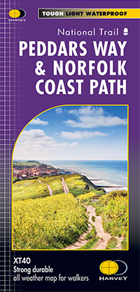
- Wandelkaart Peddars Way & Norfolk Coast Path | Harvey Maps
- Detailed 1:40,000 scale maps of English and Welsh National trails and Scottish Great Trails”A great companion to a National Trail. Clear mapping and concise information enhance enjoyment of the journey.” Malcolm Hodgson, North York Moors NPA- The detail you need for sure navigation- Clear 1:40,000 scale mapping with full legend- Full legend-... Read more
- Also available from:
- The Book Depository, United Kingdom

The Book Depository
United Kingdom
United Kingdom
- Peddars Way & Norfolk Coast Path
- Detailed 1:40,000 scale maps of English and Welsh National trails and Scottish Great Trails”A great companion to a National Trail. Clear mapping and concise information enhance enjoyment of the journey.” Malcolm Hodgson, North York Moors NPA- The detail you need for sure navigation- Clear 1:40,000 scale mapping with full legend- Full legend-... Read more