
North Downs
Beschrijving
Best known trail in these range of chalk hills, is the North Downs Way. This ridge is located south of London, and ends in the well known White Cliffs of Dover in Kent. It's a popular place for walking. Rich soils, fine woods, great views and good facilities.
Paden in deze regio
Links
Feiten
Verslagen
Gidsen en kaarten
Overnachting
Organisaties
Reisorganisaties
GPS
Anders
Boeken

De Zwerver
Netherlands
Netherlands
- Also available from:
- Stanfords, United Kingdom

Stanfords
United Kingdom
United Kingdom
- Kettering, Corby, Market Harborough & Stamford OS Landranger Map 141 (paper)
- The area around Kettering, Corby, Market Harborough and Stamford, including Rockingham Forest and part of the E2 European Long-distance Path, on a paper version of map No. 141 from the Ordnance Survey’s Landranger series at 1:50,000, with contoured and GPS compatible topographic mapping plus tourist information.MOBILE DOWNLOADS: As well as the... Read more

De Zwerver
Netherlands
Netherlands
- Also available from:
- Stanfords, United Kingdom

Stanfords
United Kingdom
United Kingdom
- Birmingham, Wolverhampton & The Black Country OS Landranger Map 139 (paper)
- Birmingham with the surrounding area including the Black Country, Wolverhampton, Walsall, Solihull, Stourbridge, Bromsgrove and a section of the E2 European Long-distance Path on a paper version of map No. 139 from the Ordnance Survey’s Landranger series at 1:50,000, with contoured and GPS compatible topographic mapping plus tourist... Read more

De Zwerver
Netherlands
Netherlands
- Also available from:
- Stanfords, United Kingdom

Stanfords
United Kingdom
United Kingdom
- Reading & Windsor - Henley-on-Thames & Bracknell OS Landranger Map 175 (paper)
- Reading – Windsor area, including a section of the Thames Path / E2 European Long-distance Path, on a paper version of map No. 175 from the Ordnance Survey’s Landranger series at 1:50,000, with contoured and GPS compatible topographic mapping plus tourist information.MOBILE DOWNLOADS: As well as the physical edition of the map, each Landranger... Read more
Bol.com
Netherlands
2016
Netherlands
2016
- North Downs Way
- The official guide to this superb National Trail, published in conjunction with Walk Unlimited. Whether you're an experienced long distance walker or a weekend stroller, this is the only companion you need. The North Downs Way is the National Trail that follows the official acorn waymarks from Farnham to the coast at Dover. This picturesque... Read more
- Also available from:
- Bol.com, Belgium
- Stanfords, United Kingdom
- The Book Depository, United Kingdom
Bol.com
Belgium
2016
Belgium
2016
- North Downs Way
- The official guide to this superb National Trail, published in conjunction with Walk Unlimited. Whether you're an experienced long distance walker or a weekend stroller, this is the only companion you need. The North Downs Way is the National Trail that follows the official acorn waymarks from Farnham to the coast at Dover. This picturesque... Read more

Stanfords
United Kingdom
2016
United Kingdom
2016
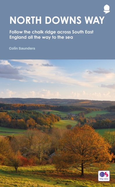
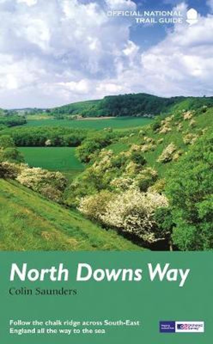
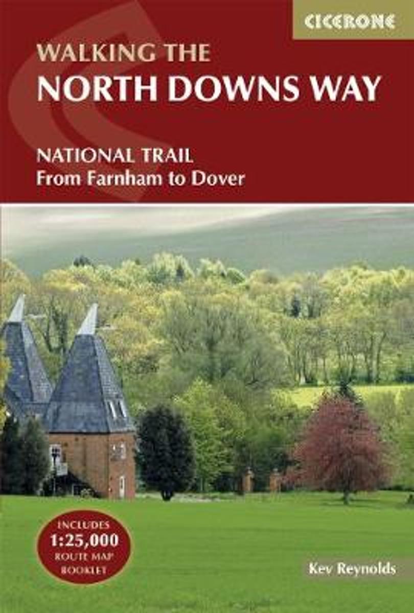
- North Downs Way: National Trail Guide
- North Downs Way, a 245-km/153 mile route from Farnham in Surrey to Dover in Kent via Canterbury or via Folkestone, in a series of walking guides to the National Trails in England and Wales with colour extracts from the Ordnance Survey`s Explorer series at 1:25,000 showing points along the route cross-referenced to the text. The maps also... Read more

De Zwerver
Netherlands
2006
Netherlands
2006
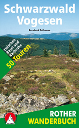
- Wandelgids Schwarzwald - Vogesen | Rother Bergverlag
- Uitstekende wandelgids van het Zwarte Woud en een deel van de Vogezen. Nauwkeurig beschreven met praktische info per tocht. De ‘Rother Wanderbücher’ behandelen telkens de 50 mooiste wandelingen, die variëren van eenvoudige kindvriendelijke wandelingen tot routes die aanzienlijk meer ervaring vereisen. Uitvoerige routebeschrijvingen, een... Read more
- Also available from:
- Bol.com, Netherlands
- Bol.com, Belgium

Bol.com
Netherlands
2006
Netherlands
2006
- Schwarzwald - Vogesen
- Die schönsten und spannendsten Wanderberge im Schwarzwald und in den Vogesen präsentiert dieser Führer in einer Auswahl von 50 Wandervorschlägen für jede Kondition. Vom alpinen Steig am Feldberg, der höchsten Erhebung der deutschen Mittelgebirge, spannt sich der Bogen bis zum Grand Ballon, dem höchsten Berg der Vogesen, vom Belchen als dem... Read more
Bol.com
Belgium
2006
Belgium
2006
- Schwarzwald - Vogesen
- Die schönsten und spannendsten Wanderberge im Schwarzwald und in den Vogesen präsentiert dieser Führer in einer Auswahl von 50 Wandervorschlägen für jede Kondition. Vom alpinen Steig am Feldberg, der höchsten Erhebung der deutschen Mittelgebirge, spannt sich der Bogen bis zum Grand Ballon, dem höchsten Berg der Vogesen, vom Belchen als dem... Read more
De Zwerver
Netherlands
2017
Netherlands
2017
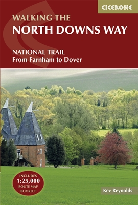
- Wandelgids The North Downs Way | Cicerone
- Guidebook to walking the North Downs Way National Trail, a 130 mile (208km) trail between Farnham and Dover, with an optional visit to Canterbury. Following the ancient Pilgrim's Way for much of the way, through pleasant countryside, this is one of the easier National Trails and the walk is described over 11 stages. With 1:25K OS map booklet. Read more
- Also available from:
- Bol.com, Netherlands
- Bol.com, Belgium
- Stanfords, United Kingdom
- The Book Depository, United Kingdom
Bol.com
Netherlands
2017
Netherlands
2017
- The North Downs Way
- The North Downs Way National Trail is a 130 mile (208km) between the high downland of Farnham and the historic city of Dover on the Kent coast. The route is described in 11 day stages from west to east with an optional detour via Canterbury. Step-by-step route descriptions are fully illustrated with colour photographs and extracts from OS... Read more
Bol.com
Belgium
2017
Belgium
2017
- The North Downs Way
- The North Downs Way National Trail is a 130 mile (208km) between the high downland of Farnham and the historic city of Dover on the Kent coast. The route is described in 11 day stages from west to east with an optional detour via Canterbury. Step-by-step route descriptions are fully illustrated with colour photographs and extracts from OS... Read more

Stanfords
United Kingdom
2017
United Kingdom
2017
- The North Downs Way
- A guidebook to walking the North Downs Way National Trail, a 130 mile (208km) walk between the high downland of Farnham and the historic city of Dover on the Kent coast, with an optional visit to Canterbury. The route is described in 11 stages, and is fully illustrated with colour photographs and OS map extracts. The North Downs Way is one of... Read more

The Book Depository
United Kingdom
2017
United Kingdom
2017
- The North Downs Way
- National Trail from Farnham to Dover Read more
Bol.com
Netherlands
Netherlands
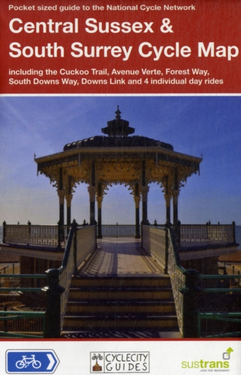
- Central Sussex & South Surrey Cycle Map
- Part of a series of pocket sized, folded maps intended for the the National Cycle Network which include clearly mapped on-road and traffic-free paths, easy to read contours and detailed town insets, this title includes maps in 1:110,000 scale; folded 155mm X 99mm; flat 792mm X 630mm. Read more
- Also available from:
- Bol.com, Belgium
Bol.com
Belgium
Belgium
- Central Sussex & South Surrey Cycle Map
- Part of a series of pocket sized, folded maps intended for the the National Cycle Network which include clearly mapped on-road and traffic-free paths, easy to read contours and detailed town insets, this title includes maps in 1:110,000 scale; folded 155mm X 99mm; flat 792mm X 630mm. Read more
Bol.com
Netherlands
Netherlands
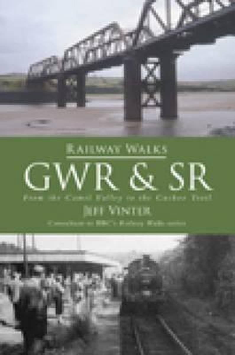
- Railway Walks
- Jeff Vinter, consultant to the BBC's popular Railway Walks series, here guides the walker along ten of the best railway paths in the south of England, ranging from the Camel Trail in scenic north Cornwall to the densely wooded tracks of the Forest of Dean, and taking in the Downs Link across the rolling countryside of West Sussex and Surrey, as... Read more
- Also available from:
- Bol.com, Belgium
- Stanfords, United Kingdom
Bol.com
Belgium
Belgium
- Railway Walks
- Jeff Vinter, consultant to the BBC's popular Railway Walks series, here guides the walker along ten of the best railway paths in the south of England, ranging from the Camel Trail in scenic north Cornwall to the densely wooded tracks of the Forest of Dean, and taking in the Downs Link across the rolling countryside of West Sussex and Surrey, as... Read more

Stanfords
United Kingdom
United Kingdom
- Railway Walks: GWR & SR
- Jeff Vinter, consultant to the BBC`s popular ”Railway Walks” series, here guides the walker along ten of the best railway paths in the south of England, ranging from the Camel Trail in scenic north Cornwall to the densely wooded tracks of the Forest of Dean, and taking in the Downs Link across the rolling countryside of West Sussex and Surrey,... Read more
De Zwerver
Netherlands
2017
Netherlands
2017
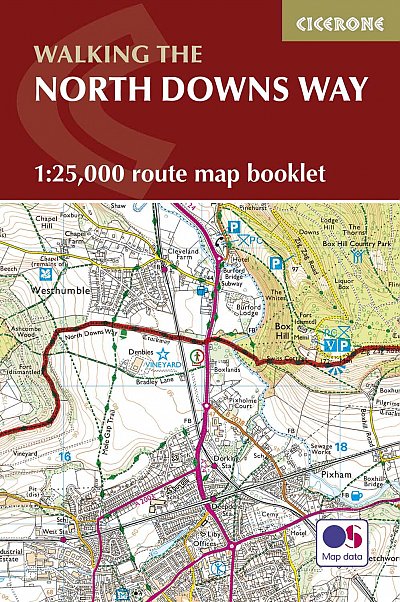
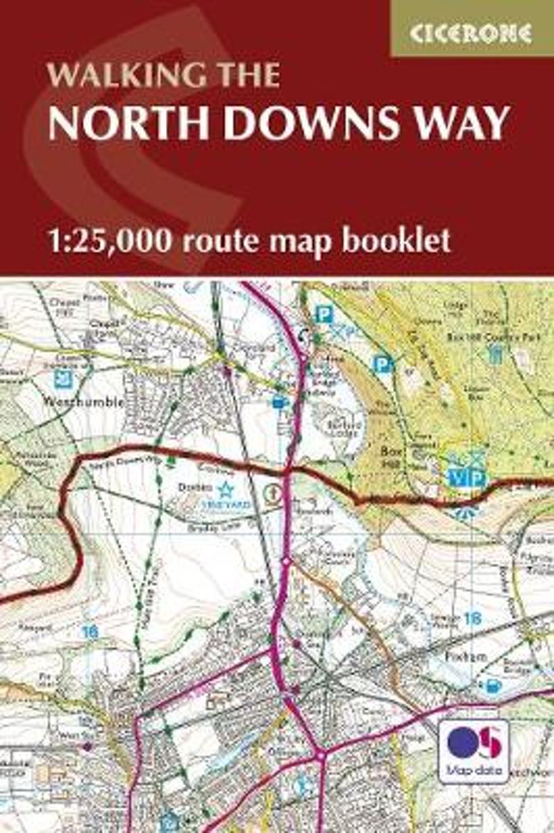
- Wandelgids Walking the North Downs Way Map Booklet | Cicerone
- Map of the 130-mile (208km) North Downs Way National Trail, between Farnham and Dover, including an optional visit to Canterbury. This booklet is included with the Cicerone guidebook to the trail and shows the full route on Ordnance Survey 1:25,000 maps. One of the easier National Trails, it can be comfortably walked in 11-12 days. Read more
- Also available from:
- Bol.com, Netherlands
- Bol.com, Belgium
- Stanfords, United Kingdom
- The Book Depository, United Kingdom
Bol.com
Netherlands
2017
Netherlands
2017
- North Downs Way Map Booklet
- This map booklet contains all the mapping you need to complete the 130 mile (208km) North Downs Way National Trail between Farnham and Dover. One of the easier National Trails, it can be comfortably walked in 11-12 days and includes an optional visit to Canterbury NOTE An accompanying Cicerone guidebook - The North Downs Way - describes the... Read more
Bol.com
Belgium
2017
Belgium
2017
- North Downs Way Map Booklet
- This map booklet contains all the mapping you need to complete the 130 mile (208km) North Downs Way National Trail between Farnham and Dover. One of the easier National Trails, it can be comfortably walked in 11-12 days and includes an optional visit to Canterbury NOTE An accompanying Cicerone guidebook - The North Downs Way - describes the... Read more

Stanfords
United Kingdom
2017
United Kingdom
2017
- North Downs Way Cicerone Map Booklet
- This map booklet contains all the mapping you need to complete the 130-mile (208km) North Downs Way National Trail between Farnham and Dover. One of the easier National Trails, it can be comfortably walked in 11-12 days and includes an optional visit to Canterbury.NOTE An accompanying Cicerone guidebook - The North Downs Way - describes the... Read more

The Book Depository
United Kingdom
2017
United Kingdom
2017
- North Downs Way Map Booklet
- Map of the 130-mile (208km) North Downs Way National Trail, between Farnham and Dover, including an optional visit to Canterbury. This booklet is included with the Cicerone guidebook to the trail and shows the full route on Ordnance Survey 1:25,000 maps. One of the easier National Trails, it can be comfortably walked in 11-12 days. Read more

Bol.com
Netherlands
Netherlands
- More Baskets And How To Make Them
- More Baskets AND How to Make Them MARY WHITE a Author of How to Make Baskets Illustrated from photographs, and drawings by the author GARDEN CITY NEW YORK DOUBLEDAY, PAGE COMPANY 1916 MORE BASKETS AND HOW TO MAKE THEM z - -2 1 r i c 5 Z c 2 L - L v 2 y T .C I n C C 2 2s - L M CLC g .E 2 Copyright. 1903, by Doubleday, Page Cornpant Publirhtd,... Read more
- Also available from:
- Bol.com, Belgium
Bol.com
Belgium
Belgium
- More Baskets And How To Make Them
- More Baskets AND How to Make Them MARY WHITE a Author of How to Make Baskets Illustrated from photographs, and drawings by the author GARDEN CITY NEW YORK DOUBLEDAY, PAGE COMPANY 1916 MORE BASKETS AND HOW TO MAKE THEM z - -2 1 r i c 5 Z c 2 L - L v 2 y T .C I n C C 2 2s - L M CLC g .E 2 Copyright. 1903, by Doubleday, Page Cornpant Publirhtd,... Read more
De Zwerver
Netherlands
2017
Netherlands
2017
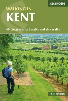
- Wandelgids Walking in Kent | Cicerone
- A guidebook describing 40 walks in the county of Kent. Covering west Kent and The Weald and north and east Kent, including the Kent Downs and the Greensand Hills. Walks of 5 to 9 miles explore rivers and coastline, beautiful countryside and historic villages. With outlines of 11 longer walks ranging from 15 to 163 miles. Read more
- Also available from:
- Bol.com, Netherlands
- Bol.com, Belgium
- Stanfords, United Kingdom
- The Book Depository, United Kingdom
Bol.com
Netherlands
2017
Netherlands
2017
- Walking in Kent
- Walking in Kent describes 40 circular day walks in the Garden of England. This guidebook includes routes ranging from 5 to 9 miles in west Kent and The Weald and north and east Kent. Encompassing woodland walks, clifftop paths and riverside rambles, there is something for everyone, from family strollers and determined ramblers. No specialised... Read more
Bol.com
Belgium
2017
Belgium
2017
- Walking in Kent
- Walking in Kent describes 40 circular day walks in the Garden of England. This guidebook includes routes ranging from 5 to 9 miles in west Kent and The Weald and north and east Kent. Encompassing woodland walks, clifftop paths and riverside rambles, there is something for everyone, from family strollers and determined ramblers. No specialised... Read more

Stanfords
United Kingdom
2017
United Kingdom
2017
- Walking in Kent
- Walking in Kent describes 40 circular day walks in the Garden of England. This guidebook includes routes ranging from 5 to 9 miles in west Kent and The Weald and north and east Kent. Encompassing woodland walks, clifftop paths and riverside rambles, there is something for everyone, from family strollers and determined ramblers. No specialised... Read more

Bol.com
Netherlands
Netherlands
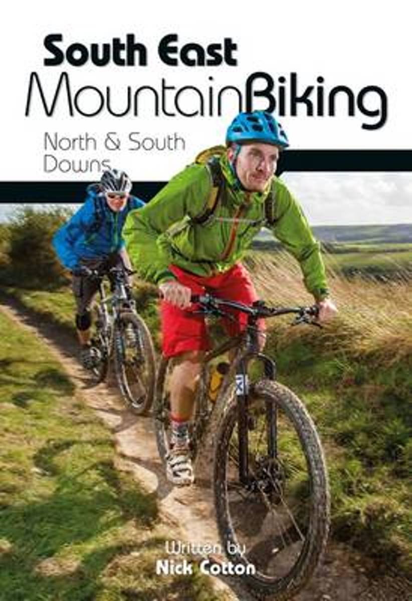
- South East Mountain Biking
- South East Mountain Biking - North and South Downs is the full second edition of the bestselling guide to some of the finest mountain biking in the South East of England. Published by leading guidebook producer Vertebrate Publishing, it covers the best mountain biking in the south-east, including the newly-formed South Downs National Park.... Read more
- Also available from:
- Bol.com, Belgium
- Stanfords, United Kingdom
Bol.com
Belgium
Belgium
- South East Mountain Biking
- South East Mountain Biking - North and South Downs is the full second edition of the bestselling guide to some of the finest mountain biking in the South East of England. Published by leading guidebook producer Vertebrate Publishing, it covers the best mountain biking in the south-east, including the newly-formed South Downs National Park.... Read more

Stanfords
United Kingdom
United Kingdom
- South East Mountain Biking: North & South Downs
- South East Mountain Biking - North and South Downs is the full second edition of the bestselling guide to some of the finest mountain biking in the South East of England. Published by leading guidebook producer Vertebrate Publishing, it covers the best mountain biking in the south-east, including the newly-formed South Downs National Park. ... Read more
Bol.com
Netherlands
Netherlands
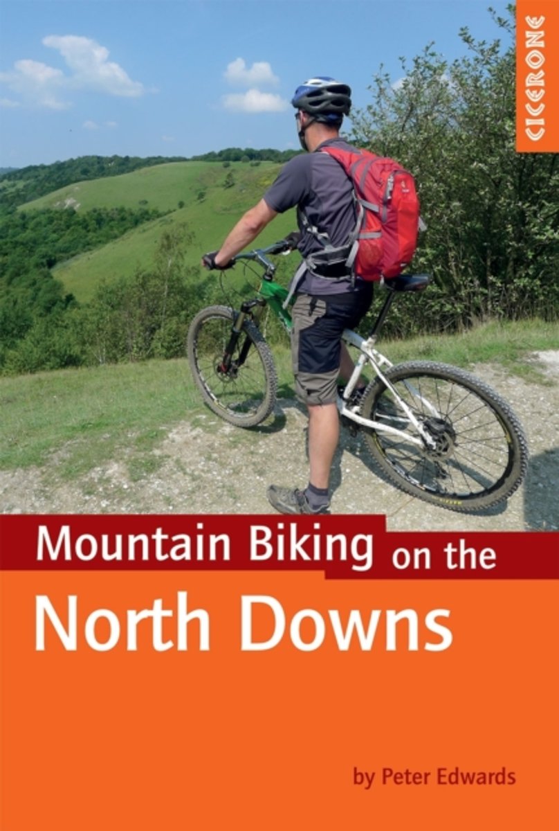
- Mountain Biking on the North Downs
- This guidebook covers 20 mountain biking routes set throughout the length and breadth of the North Downs, from Farnham in the west to Dover in the east, as well as a route along the Downs Link, which joins the North Downs Way with the South Downs Way. They range from 18.5km to 59km in length and up to 90% off road. The routes, illustrated with... Read more
- Also available from:
- Bol.com, Belgium
Bol.com
Belgium
Belgium
- Mountain Biking on the North Downs
- This guidebook covers 20 mountain biking routes set throughout the length and breadth of the North Downs, from Farnham in the west to Dover in the east, as well as a route along the Downs Link, which joins the North Downs Way with the South Downs Way. They range from 18.5km to 59km in length and up to 90% off road. The routes, illustrated with... Read more
De Zwerver
Netherlands
2016
Netherlands
2016
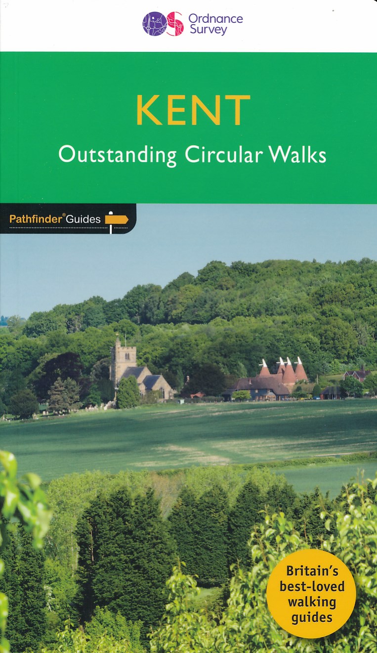
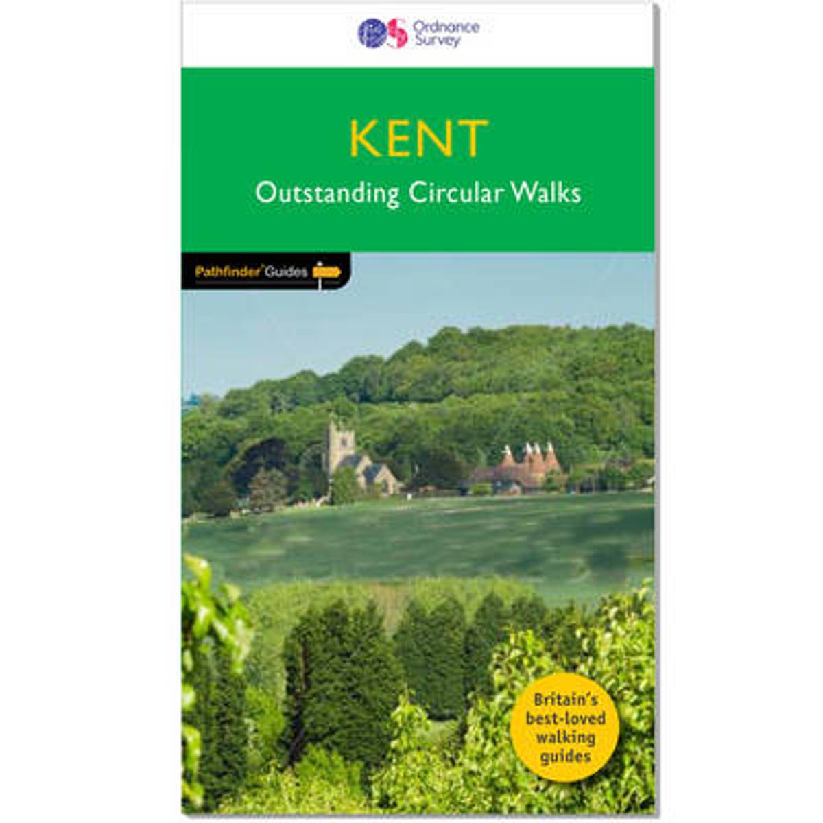
- Wandelgids 08 Pathfinder Guides Kent | Ordnance Survey
- Walkers in Kent enjoy a number of long distance footpaths, including the North Downs Way, Wealdway, Pilgrims` Way and Greensand Way, and sections of them are incorporated into several walks in this guide. Routes starting at Tenterden and Penshurst wind through a typical Kentish landscape, characterised by orchards, medieval churches and coast... Read more
- Also available from:
- Bol.com, Netherlands
- Bol.com, Belgium
- Stanfords, United Kingdom
Bol.com
Netherlands
2016
Netherlands
2016
- Kent
- Walkers in Kent enjoy a number of long distance footpaths, including the North Downs Way, Wealdway, Pilgrims' Way and Greensand Way, and sections of them are incorporated into several walks in this guide. Routes starting at Tenterden and Penshurst wind through a typical Kentish landscape, characterised by orchards, medieval churches and coast... Read more
Bol.com
Belgium
2016
Belgium
2016
- Kent
- Walkers in Kent enjoy a number of long distance footpaths, including the North Downs Way, Wealdway, Pilgrims' Way and Greensand Way, and sections of them are incorporated into several walks in this guide. Routes starting at Tenterden and Penshurst wind through a typical Kentish landscape, characterised by orchards, medieval churches and coast... Read more

Stanfords
United Kingdom
2016
United Kingdom
2016
- Kent - Outstanding Circular Walks
- Walkers in Kent enjoy a number of long distance footpaths, including the North Downs Way, Wealdway, Pilgrims` Way and Greensand Way, and sections of them are incorporated into several walks in this guide. Routes starting at Tenterden and Penshurst wind through a typical Kentish landscape, characterised by orchards, medieval churches and coast... Read more
Kaarten
De Zwerver
Netherlands
2018
Netherlands
2018
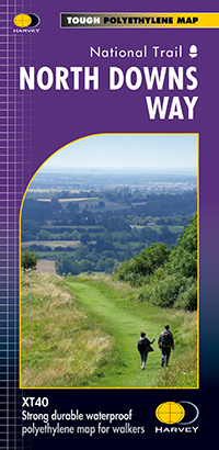
- Wandelkaart North Downs Way | Harvey Maps
- The whole of the North Downs Way, a 246km / 153 miles National Trail between Dover and Farnham, on a light, waterproof and tear-resistant map at 1:40,000 from Harvey Map Services presenting the route accompanied by extensive additional tourist information. This new edition published in autumn 2013 replaces the publishers Read more
- Also available from:
- Stanfords, United Kingdom

Stanfords
United Kingdom
2018
United Kingdom
2018
- North Downs Way Harvey National Trail XT40
- The whole of the North Downs Way, a 246km / 153 miles National Trail between Dover and Farnham, on a light, waterproof and tear-resistant map at 1:40,000 from Harvey Map Services presenting the route accompanied by extensive additional tourist information. This new edition published in autumn 2013 replaces the publishers’ previous coverage of... Read more

Bol.com
Netherlands
Netherlands
- England Coast Path Camber to Folkestone Adventure Map
- The A-Z Adventure Series of maps combines the best of OS and A-Z, creating the perfect companion for walkers, off-road cyclists, horse riders and anyone wishing to explore the great outdoors.This official Camber to Folkestone Adventure Map section of the England Coast Path, a new National Trail around England`s coast. More than just a path, it... Read more
- Also available from:
- Bol.com, Belgium
- Stanfords, United Kingdom
Bol.com
Belgium
Belgium
- England Coast Path Camber to Folkestone Adventure Map
- The A-Z Adventure Series of maps combines the best of OS and A-Z, creating the perfect companion for walkers, off-road cyclists, horse riders and anyone wishing to explore the great outdoors.This official Camber to Folkestone Adventure Map section of the England Coast Path, a new National Trail around England`s coast. More than just a path, it... Read more

Stanfords
United Kingdom
United Kingdom
- England Coast Path - Camber to Folkestone Adventure Map
- The A-Z Adventure Series of maps combines the best of OS and A-Z, creating the perfect companion for walkers, off-road cyclists, horse riders and anyone wishing to explore the great outdoors.This official Camber to Folkestone Adventure Map section of the England Coast Path, a new National Trail around England`s coast. More than just a path, it... Read more

Bol.com
Netherlands
Netherlands
- England Coast Path Folkestone to Ramsgate Adventure Map
- The A-Z Adventure Series of maps combines the best of OS and A-Z, creating the perfect companion for walkers, off-road cyclists, horse riders and anyone wishing to explore the great outdoors.This official Folkestone to Ramsgate Adventure Map section of the England Coast Path, a new National Trail around England`s coast. More than just a path,... Read more
- Also available from:
- Bol.com, Belgium
Bol.com
Belgium
Belgium
- England Coast Path Folkestone to Ramsgate Adventure Map
- The A-Z Adventure Series of maps combines the best of OS and A-Z, creating the perfect companion for walkers, off-road cyclists, horse riders and anyone wishing to explore the great outdoors.This official Folkestone to Ramsgate Adventure Map section of the England Coast Path, a new National Trail around England`s coast. More than just a path,... Read more

De Zwerver
Netherlands
Netherlands
- Wandelkaart WKE2 La Palma | Freytag & Berndt
- Uitstekende wandelkaart van La Palma, tweezijdig, met ingetekende routes, hoogtelijnen en andere belangrijke informatie. Ook met fietsroutes, bovendien GPS geschikt! Read more
- Also available from:
- Bol.com, Netherlands
- Bol.com, Belgium
- The Book Depository, United Kingdom

Bol.com
Netherlands
Netherlands
- FB WKE2 La Palma
- Dubbelzijdige wandel- en vrijetijdskaart • toeristische tips • stadsplattegronden • fietspaden en mountainbikeroutes • GPS-punten • ski- en langlaufroutes Read more
Bol.com
Belgium
Belgium
- FB WKE2 La Palma
- Dubbelzijdige wandel- en vrijetijdskaart • toeristische tips • stadsplattegronden • fietspaden en mountainbikeroutes • GPS-punten • ski- en langlaufroutes Read more

The Book Depository
United Kingdom
United Kingdom
- La Palma Hiking + Leisure Map 1:30 000
- Uitstekende wandelkaart van La Palma, tweezijdig, met ingetekende routes, hoogtelijnen en andere belangrijke informatie. Ook met fietsroutes, bovendien GPS geschikt! Read more

Stanfords
United Kingdom
United Kingdom
- Luxembourg South
- One of two topographic survey maps of Luxembourg at 1:50,000, with contours at 10-metres intervals and additional relief shading. An overprint highlights long-distance footpaths, including the GR5 (E-2), cycle routes, and various places of interest, including campsites. The map covers an area of approximately 53 x 43 km / 33 x 27 miles. Map... Read more

Stanfords
United Kingdom
United Kingdom
- England Coast Path Adventure Map - Minehead to Brean Down
- The A-Z Adventure Series of maps combines the best of OS and A-Z, creating the perfect companion for walkers, off-road cyclists, horse riders and anyone wishing to explore the great outdoors.This official Minehead to Brean Down Adventure Map covers a 58 mile (93km) section of the England Coast Path, a new National Trail around England`s coast.... Read more

Stanfords
United Kingdom
United Kingdom
- Aldershot and Guildford 1810-1817
- Map No. 186, Aldershot and Guildford 1810-1817, in the Cassini Historical Series of old Ordnance Survey mapping of England and Wales at 1:50,000 in a format designed to offer a convenient comparison with the present day coverage from the OS, and most locations in three different editions. Old historical maps have been combined so that the sheet... Read more

Stanfords
United Kingdom
United Kingdom
- North Downs Way A-Z Adventure Atlas
- North Downs Way Adventure Atlas at 1:25,000 in a series of handy A5 size Adventure Atlases from Geographers` A-Z Map Company with cartography from the Ordnance Survey’s Explorer series. The route from Farnham to Dover is presented with the alternative final sections, either via Canterbury or via Folkestone. To see other titles in this series... Read more
Stanfords
United Kingdom
United Kingdom
- Aldershot and Guildford 1919-1920
- Map No. 186, Aldershot and Guildford 1919-1920, in the Cassini Historical Series of old Ordnance Survey mapping of England and Wales at 1:50,000 in a format designed to offer a convenient comparison with the present day coverage from the OS, and most locations in three different editions. Old historical maps have been combined so that the sheet... Read more
Stanfords
United Kingdom
United Kingdom
- Aldershot and Guildford 1897-1909
- Map No. 186, Aldershot and Guildford 1897-1909, in the Cassini Historical Series of old Ordnance Survey mapping of England and Wales at 1:50,000 in a format designed to offer a convenient comparison with the present day coverage from the OS, and most locations in three different editions. Old historical maps have been combined so that the sheet... Read more
Stanfords
United Kingdom
United Kingdom
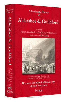
- Aldershot and Guildford 1810-1920 (3-map set)
- Map No. 186, Aldershot and Guildford 1810-1920 (3-map set), in the Cassini Historical Series of old Ordnance Survey mapping of England and Wales at 1:50,000 in a format designed to offer a convenient comparison with the present day coverage from the OS, and most locations in three different editions. Old historical maps have been combined so... Read more

Stanfords
United Kingdom
United Kingdom
- Luxembourg North
- One of two topographic survey maps of Luxembourg at 1:50,000, with contours at 10-metres intervals and additional relief shading. An overprint highlights long-distance footpaths, including the GR5 (E-2), cycle routes, and various places of interest, including campsites. The map covers an area of approximately 53 x 43 km / 33 x 27 miles. Map... Read more