
Snowdonia
Beschrijving
Paden in deze regio
Links
Feiten
Verslagen
Gidsen en kaarten
Overnachting
Organisaties
Reisorganisaties
GPS
Anders
Boeken
De Zwerver
Netherlands
2021
Netherlands
2021
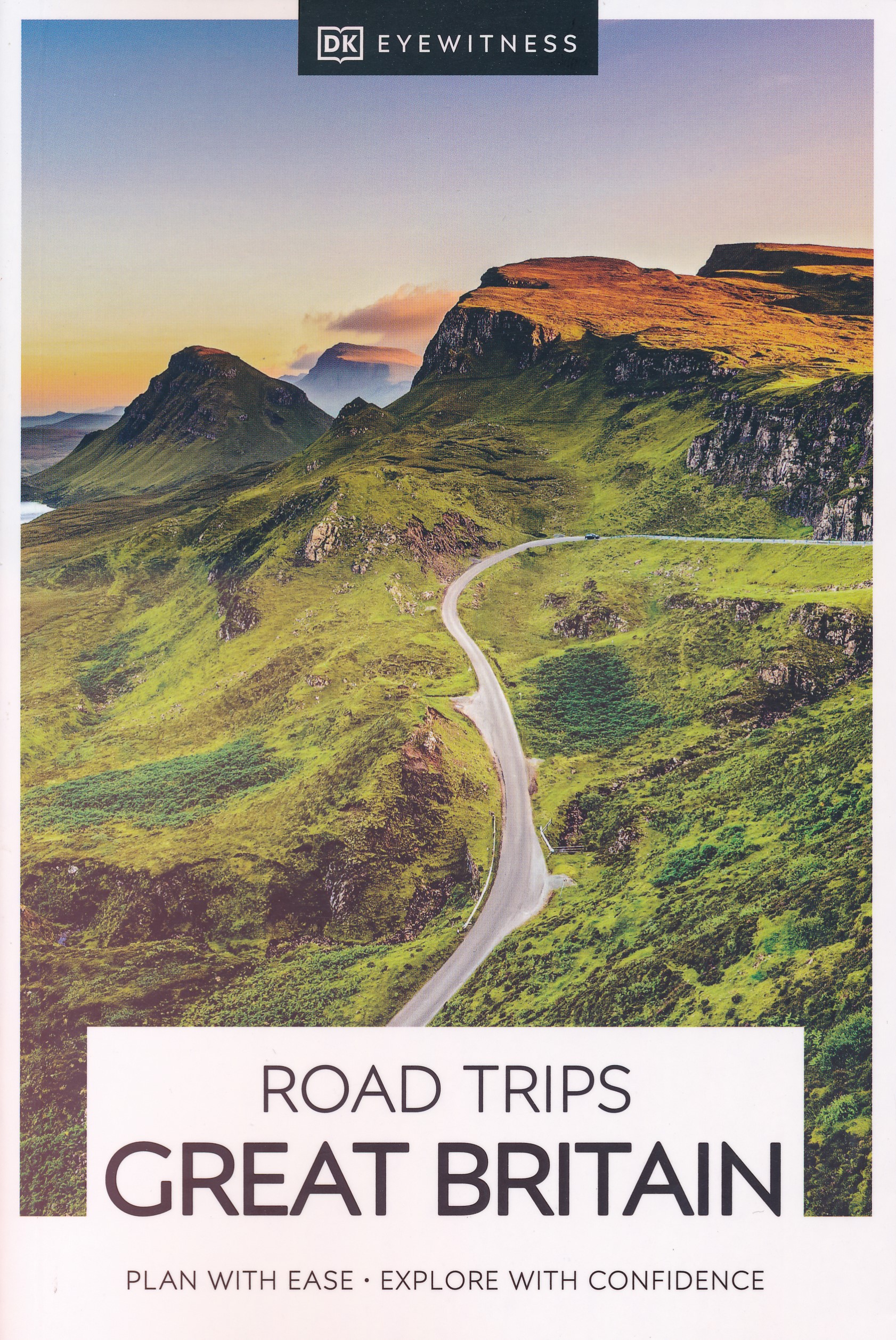
- Reisgids Road Trips Great Britain | Dorling Kindersley
- With its idyllic market towns, romantic castle ruins and stunning natural landscapes, Great Britain is the perfect destination for a leisurely road trip. It`s yours to explore with Road Trips Great Britain, which contains 25 drives across the country, from the sweeping sandy beaches of Cornwall to the dramatic peaks of the Scottish... Read more
- Also available from:
- Stanfords, United Kingdom

Stanfords
United Kingdom
2021
United Kingdom
2021
- DK Eyewitness Road Trips Great Britain
- With its idyllic market towns, romantic castle ruins and stunning natural landscapes, Great Britain is the perfect destination for a leisurely road trip. It`s yours to explore with Road Trips Great Britain, which contains 25 drives across the country, from the sweeping sandy beaches of Cornwall to the dramatic peaks of the Scottish... Read more
De Zwerver
Netherlands
2022
Netherlands
2022
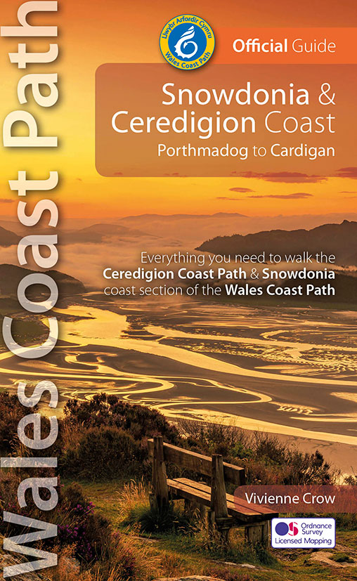
- Wandelgids Wales Coast Path: Snowdonia and Ceredigion | Northern Eye Books
- Porthmadog to Cardigan Read more

De Zwerver
Netherlands
2024
Netherlands
2024
- Reisgids Snowdonia & North Wales | Rough Guides
- Rough Guides Staycations Snowdonia & North WalesMake the most of your time on Earth with the ultimate travel guides.Inspirational and informative new pocket guide, with free eBook, making the most of holidaying at home in the UK through clearly laid-out walks and tours.Explore the best of Snowdonia & North Wales with this unique travel guide,... Read more
- Also available from:
- Stanfords, United Kingdom

Stanfords
United Kingdom
2021
United Kingdom
2021
- Pocket Rough Guide Staycations Snowdonia & North Wales (Travel Guide with Free eBook)
- Rough Guides Staycations Snowdonia & North WalesMake the most of your time on Earth with the ultimate travel guides.Inspirational and informative new pocket guide, with free eBook, making the most of holidaying at home in the UK through clearly laid-out walks and tours.Explore the best of Snowdonia & North Wales with this unique travel guide,... Read more
De Zwerver
Netherlands
2024
Netherlands
2024
De Zwerver
Netherlands
2019
Netherlands
2019
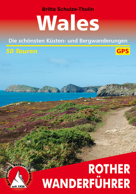
- Wandelgids Wales | Rother Bergverlag
- Uitstekende wandelgids met 50 dagtochten in dal en hoger gelegen delen van het gebergte. Met praktische informatie en beperkt kaartmateriaal! Wandelingen in verschillende zwaarte weergegeven in rood/blauw/zwart. Deze wandelgidsen uitgever staat hoog aangeschreven en is een begrip onder de wandelaars! Dieser Wanderführer führt in die schönsten... Read more

- Also available from:
- Stanfords, United Kingdom
De Zwerver
Netherlands
2020
Netherlands
2020
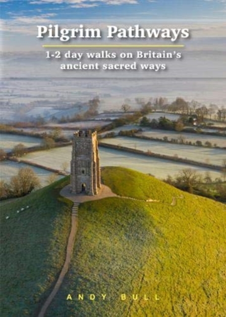
- Wandelgids Pilgrim Pathways | Trailblazer Guides
- Many people are inspired by the idea of going on a pilgrimage. TV series such as The Road to Rome and The Road to Santiago have shown that even the averagely unfit celeb can hobble through one. However, few of us have time for such long routes. So what to do?Pilgrim Pathways has the answer: 20 answers in fact. The pilgrimages in this guidebook... Read more
- Also available from:
- Stanfords, United Kingdom

Stanfords
United Kingdom
2020
United Kingdom
2020
- Pilgrim Pathways: 1-2 day walks on Britain`s Ancient Sacred Ways: 2020
- Many people are inspired by the idea of going on a pilgrimage. TV series such as The Road to Rome and The Road to Santiago have shown that even the averagely unfit celeb can hobble through one. However, few of us have time for such long routes. So what to do?Pilgrim Pathways has the answer: 20 answers in fact. The pilgrimages in this guidebook... Read more
De Zwerver
Netherlands
2022
Netherlands
2022
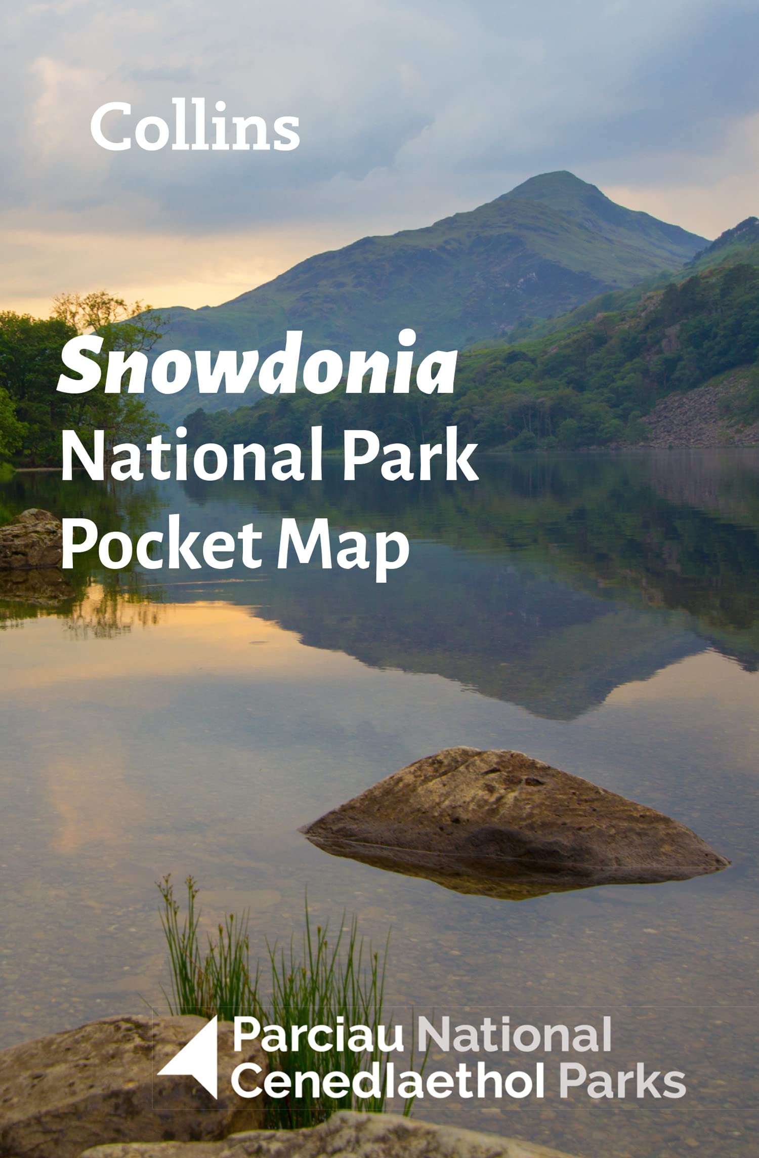
- Wegenkaart - landkaart National Park Pocket Map Snowdonia | Collins
- Handy little full colour map of Snowdonia National Park. Detailed mapping and visitor information to the National Park along with a selection of photographs. Map at a scale of 1:119 000 (1.2cm to 1km, 1.9 miles to 1 inch). This small map gives a great overview of the Snowdonia National Park, and is the perfect companion for... Read more
Bol.com
Netherlands
2018
Netherlands
2018
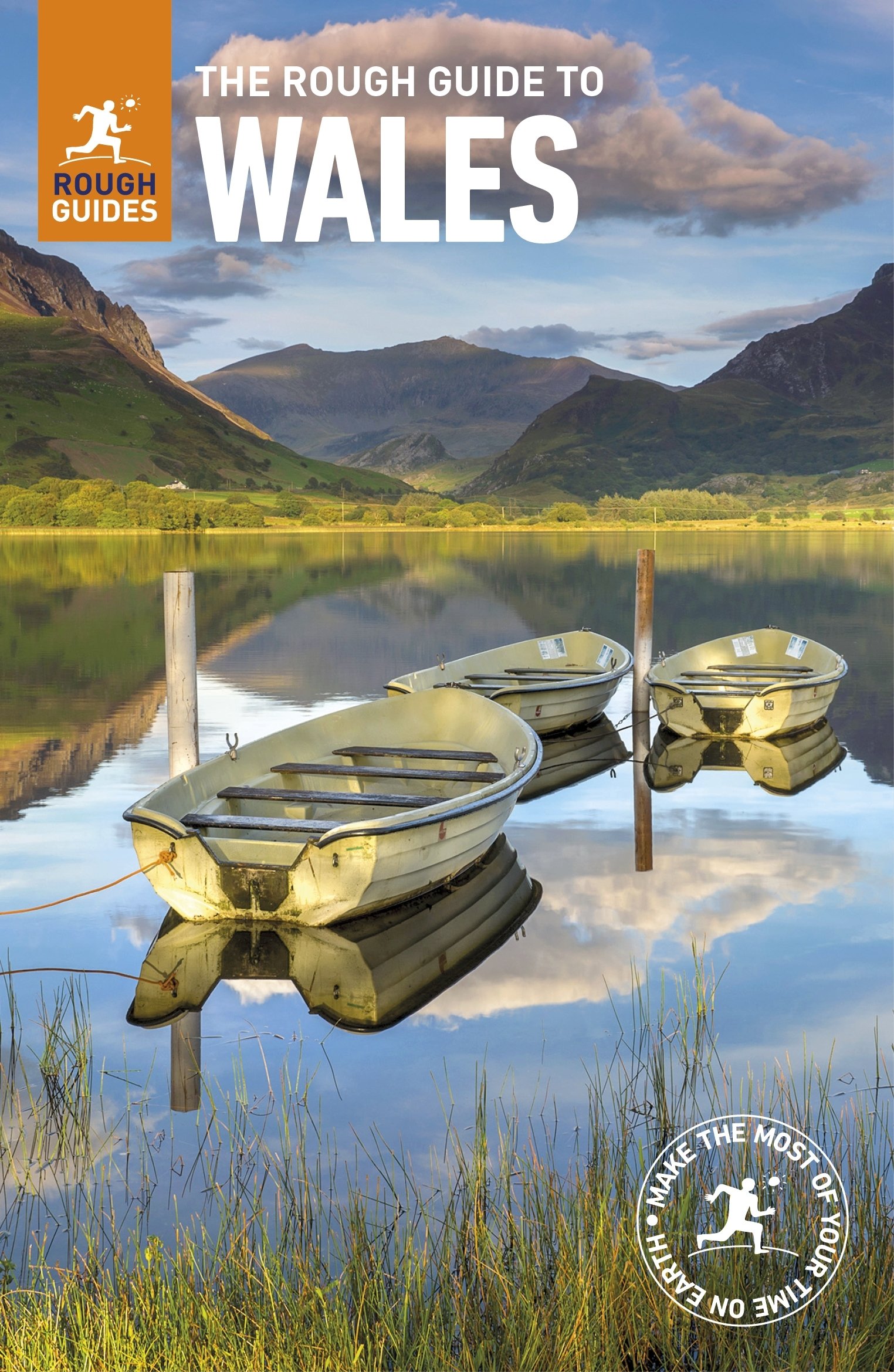
- The Rough Guide to Wales
- Discover this beautiful country with the most incisive and entertaining guidebook on the market. Whether you plan to hike through the wilds of Snowdonia, follow in Wordsworth's footsteps at Tintern Abbey or explore Welsh music and theatre in Swansea, The Rough Guide to Wales will show you the ideal places to sleep, eat, drink and shop along the... Read more
- Also available from:
- Bol.com, Belgium
Bol.com
Belgium
2018
Belgium
2018
- The Rough Guide to Wales
- Discover this beautiful country with the most incisive and entertaining guidebook on the market. Whether you plan to hike through the wilds of Snowdonia, follow in Wordsworth's footsteps at Tintern Abbey or explore Welsh music and theatre in Swansea, The Rough Guide to Wales will show you the ideal places to sleep, eat, drink and shop along the... Read more
Bol.com
Netherlands
2013
Netherlands
2013
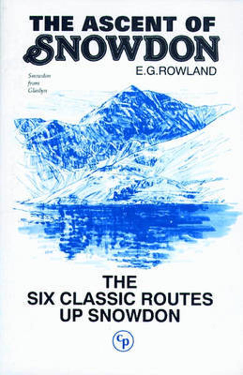
- The Ascent of Snowdon
- Guidebook to all the walking routes to the summit of Snowdon / Yr Wyddfa - The Llanberis Path, Snowdon Ranger Path, Beddgelert-Rhyd-du Path, Watkin Path, The Pig Track, plus the Snowdon Mountain Railway and Snowdon Horseshoe walk. Read more
- Also available from:
- Bol.com, Belgium
Bol.com
Belgium
2013
Belgium
2013
- The Ascent of Snowdon
- Guidebook to all the walking routes to the summit of Snowdon / Yr Wyddfa - The Llanberis Path, Snowdon Ranger Path, Beddgelert-Rhyd-du Path, Watkin Path, The Pig Track, plus the Snowdon Mountain Railway and Snowdon Horseshoe walk. Read more
Bol.com
Netherlands
Netherlands
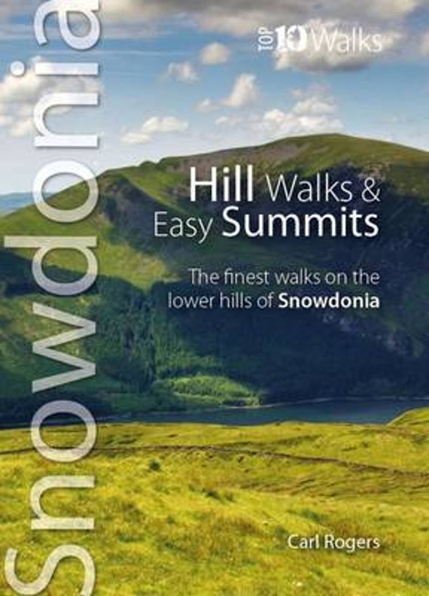
- Hill Walks & Easy Summits
- One of a series of books for Snowdonia in the popular Top 10 Walks series. Handy, pocket-sized, full colour walking guides written by experts, with Ordnance Survey mapping.This attractive guide gives walkers ten of the finest walks on the lower hills of the Snowdonia National Park. With clear information, an overview and introduction for each... Read more
- Also available from:
- Bol.com, Belgium
- Stanfords, United Kingdom
- The Book Depository, United Kingdom
Bol.com
Belgium
Belgium
- Hill Walks & Easy Summits
- One of a series of books for Snowdonia in the popular Top 10 Walks series. Handy, pocket-sized, full colour walking guides written by experts, with Ordnance Survey mapping.This attractive guide gives walkers ten of the finest walks on the lower hills of the Snowdonia National Park. With clear information, an overview and introduction for each... Read more

Stanfords
United Kingdom
United Kingdom
- Snowdonia - Top 10 Walks Series Hill Walks & Easy Summits
- One of a series of books for Snowdonia in the popular Top 10 Walks series. Handy, pocket-sized, full colour walking guides written by experts, with Ordnance Survey mapping.This attractive guide gives walkers ten of the finest walks on the lower hills of the Snowdonia National Park. With clear information, an overview and introduction for each... Read more

The Book Depository
United Kingdom
United Kingdom
- Hill Walks & Easy Summits
- The Finest Walks on the Lower Hills of Snowdonia Read more
Bol.com
Netherlands
Netherlands
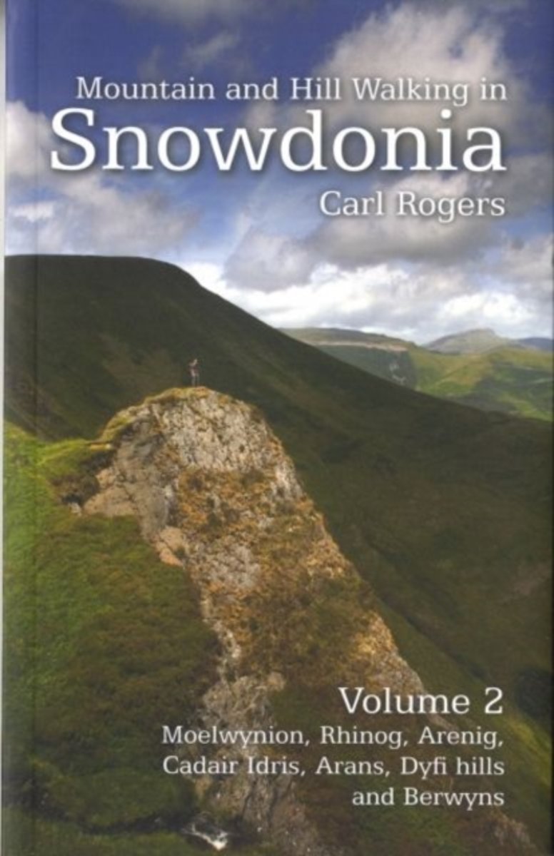
- Mountain and Hill Walking in Snowdonia
- Following the success of A Pocket Guide to Snowdonia's best Mountain Walks published in 2007, Mara Books have launched Carl Rogers' new book Mountain and Hill Walking in Snowdonia , a two-volume in-depth pocket sized guide to mountain walks in the Snowdonia National Park. Every hill group in the National Park is covered in detail and the book... Read more
- Also available from:
- Bol.com, Belgium
- Stanfords, United Kingdom
- The Book Depository, United Kingdom
Bol.com
Belgium
Belgium
- Mountain and Hill Walking in Snowdonia
- Following the success of A Pocket Guide to Snowdonia's best Mountain Walks published in 2007, Mara Books have launched Carl Rogers' new book Mountain and Hill Walking in Snowdonia , a two-volume in-depth pocket sized guide to mountain walks in the Snowdonia National Park. Every hill group in the National Park is covered in detail and the book... Read more

Stanfords
United Kingdom
United Kingdom
- Mountain & Hill Walking in Snowdonia Volume 2
- Following the success of ”A Pocket Guide to Snowdonia`s best Mountain Walks” published in 2007, Mara Books have launched Carl Rogers` new book ”Mountain and Hill Walking in Snowdonia”, a two-volume in-depth pocket sized guide to mountain walks in the Snowdonia National Park. Every hill group in the National Park is covered in detail and the... Read more

The Book Depository
United Kingdom
United Kingdom
- Mountain and Hill Walking in Snowdonia: v. 2
- Following the success of A Pocket Guide to Snowdonia's best Mountain Walks published in 2007, Mara Books have launched Carl Rogers' new book Mountain and Hill Walking in Snowdonia, a two-volume in-depth pocket sized guide to mountain walks in the Snowdonia National Park. Every hill group in the National Park is covered in detail and the book is... Read more
Bol.com
Netherlands
Netherlands
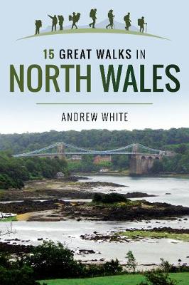
- 15 Great Walks in North Wales
- Walking is one of Britain s favourite pastimes, and the new 15 Great Walks series offers something different with a view to helping more and more people to get walking. Instead of all short walks or all long walks, these guides are designed with a range of lengths starting with walk one at 2 miles and finishing at walk fifteen at 15 miles. In... Read more
- Also available from:
- Bol.com, Belgium
Bol.com
Belgium
Belgium
- 15 Great Walks in North Wales
- Walking is one of Britain s favourite pastimes, and the new 15 Great Walks series offers something different with a view to helping more and more people to get walking. Instead of all short walks or all long walks, these guides are designed with a range of lengths starting with walk one at 2 miles and finishing at walk fifteen at 15 miles. In... Read more
Bol.com
Netherlands
Netherlands
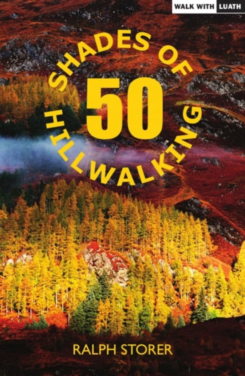
- 50 Shades of Hillwalking
- In 50 wide-ranging tales of adventure and misadventure, Ralph Storer takes his usual quirky look at the peculiar pursuit of messing about on mountains. Walking, climbing, mountain biking, caving hes tried it all but admits to expertise only in the lost art of festering. With room also for contemplation and argument, his 50 Shadeswill amuse,... Read more
- Also available from:
- Bol.com, Belgium
Bol.com
Belgium
Belgium
- 50 Shades of Hillwalking
- In 50 wide-ranging tales of adventure and misadventure, Ralph Storer takes his usual quirky look at the peculiar pursuit of messing about on mountains. Walking, climbing, mountain biking, caving hes tried it all but admits to expertise only in the lost art of festering. With room also for contemplation and argument, his 50 Shadeswill amuse,... Read more
Kaarten
De Zwerver
Netherlands
2021
Netherlands
2021
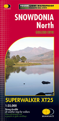
- Wandelkaart Snowdonia Noord /Snowdon,Glyders,Carnedds | Harvey Maps
- The northern part of Snowdonia with Snowdon and the Glyders and Carnedds peaks at 1:25,000 on a waterproof and tear-resistant map from Harvey Map Services in their Superwalker series. The map is double-sided with an overlap between the sides; coverage extends from west of Llanberis eastwards to Betws-y-Coed. Map legend and additional notes are... Read more
- Also available from:
- Stanfords, United Kingdom

Stanfords
United Kingdom
2021
United Kingdom
2021
- Snowdonia North Harvey Superwalker XT25
- The northern part of Snowdonia with Snowdon and the Glyders and Carnedds peaks at 1:25,000 on a light, waterproof and tear-resistant map from Harvey Map Services. The map is double-sided with an overlap between the sides; coverage extends from west of Llanberis eastwards to Betws-y-Coed. Map legend and additional notes are also in Welsh.PLEASE... Read more
De Zwerver
Netherlands
2021
Netherlands
2021
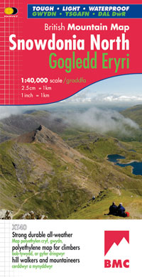
- Wandelkaart Snowdonia Noord | Harvey Maps
- Waterproof mountain map of Snowdonia from Harvey at 1:40,000, with a geological map of the region on the reverse, enlargements of Snowdon and Tryfan, and advice on navigating the region safely.MAIN MAP: Topography is shown through clear altitude shading, spot heights, contours at 15m intervals, and index contours at 75m intervals. A variety of... Read more
- Also available from:
- Stanfords, United Kingdom

Stanfords
United Kingdom
2021
United Kingdom
2021
- Snowdonia North / Gogledd Eryri Harvey British Mountain Map XT40
- Waterproof mountain map of Snowdonia North from Harvey at 1:40,000, with a geological map of the region on the reverse, enlargements of Snowdon and Tryfan, and advice on navigating the region safely.*MAIN MAP:* Topography is shown through clear altitude shading, spot heights, contours at 15m intervals, and index contours at 75m intervals. A... Read more

Bol.com
Netherlands
Netherlands
- Wales Mountain Biking
- Wales Mountain Biking is the 12th title in Vertebrate Publishing's bestselling series of UK mountain biking guidebooks. This book showcases 20 routes in Wales, between 12km and 50km in length, suitable for all levels of mountain bikers. Split into three sections, South Wales, Mid Wales and North Wales, this book includes classic loops in the... Read more
- Also available from:
- Bol.com, Belgium
- Stanfords, United Kingdom
Bol.com
Belgium
Belgium
- Wales Mountain Biking
- Wales Mountain Biking is the 12th title in Vertebrate Publishing's bestselling series of UK mountain biking guidebooks. This book showcases 20 routes in Wales, between 12km and 50km in length, suitable for all levels of mountain bikers. Split into three sections, South Wales, Mid Wales and North Wales, this book includes classic loops in the... Read more

Stanfords
United Kingdom
United Kingdom
- Wales Mountain Biking
- Vertebrate’s guide to mountain biking in Wales covers 20 recommended mountain bike trails, routes and rides ranging from 12km to 50km. The routes themselves have been devised and tested by local riders to help you get the very best out of the Welsh trails.Each route is described with easy-to-follow instructions, information on difficulty,... Read more

Stanfords
United Kingdom
United Kingdom
- Snowdon / Yr Wyddfa 1840-1841
- Map No. 115, Snowdon / Yr Wyddfa 1840-1841, in the Cassini Historical Series of old Ordnance Survey mapping of England and Wales at 1:50,000 in a format designed to offer a convenient comparison with the present day coverage from the OS, and most locations in three different editions. Old historical maps have been combined so that the sheet... Read more
Stanfords
United Kingdom
United Kingdom
- Bala and Lake Vyrnwy / Y Bala a Llyn Efyrnwy 1902-1903
- Map No. 125, Bala and Lake Vyrnwy / Y Bala a Llyn Efyrnwy 1902-1903, in the Cassini Historical Series of old Ordnance Survey mapping of England and Wales at 1:50,000 in a format designed to offer a convenient comparison with the present day coverage from the OS, and most locations in three different editions. Old historical maps have been... Read more
Stanfords
United Kingdom
United Kingdom
- Aberystwyth and Machynlleth 1901-1903
- Map No. 135, Aberystwyth and Machynlleth 1901-1903, in the Cassini Historical Series of old Ordnance Survey mapping of England and Wales at 1:50,000 in a format designed to offer a convenient comparison with the present day coverage from the OS, and most locations in three different editions. Old historical maps have been combined so that the... Read more
Stanfords
United Kingdom
United Kingdom
- Porthmadog and Dolgellau 1836-1841
- Map No. 124, Porthmadog and Dolgellau 1836-1841, in the Cassini Historical Series of old Ordnance Survey mapping of England and Wales at 1:50,000 in a format designed to offer a convenient comparison with the present day coverage from the OS, and most locations in three different editions. Old historical maps have been combined so that the... Read more
Stanfords
United Kingdom
United Kingdom
- Snowdon / Yr Wyddfa 1840-1922 (3-map set)
- Map No. 115, Snowdon / Yr Wyddfa 1840-1922 (3-map set), in the Cassini Historical Series of old Ordnance Survey mapping of England and Wales at 1:50,000 in a format designed to offer a convenient comparison with the present day coverage from the OS, and most locations in three different editions. Old historical maps have been combined so that... Read more
Stanfords
United Kingdom
United Kingdom
- Denbigh and Colwyn Bay / Dinbych a Bae Colwyn 1838-1924 (3-map set)
- Map No. 116, Denbigh and Colwyn Bay / Dinbych a Bae Colwyn 1838-1924 (3-map set), in the Cassini Historical Series of old Ordnance Survey mapping of England and Wales at 1:50,000 in a format designed to offer a convenient comparison with the present day coverage from the OS, and most locations in three different editions. Old historical maps... Read more
Stanfords
United Kingdom
United Kingdom
- Bala and Lake Vyrnwy / Y Bala a Llyn Efyrnwy 1836-1840
- Map No. 125, Bala and Lake Vyrnwy / Y Bala a Llyn Efyrnwy 1836-1840, in the Cassini Historical Series of old Ordnance Survey mapping of England and Wales at 1:50,000 in a format designed to offer a convenient comparison with the present day coverage from the OS, and most locations in three different editions. Old historical maps have been... Read more
Stanfords
United Kingdom
United Kingdom
- Porthmadog and Dolgellau 1836-1922 (3-map set)
- Map No. 124, Porthmadog and Dolgellau 1836-1922 (3-map set), in the Cassini Historical Series of old Ordnance Survey mapping of England and Wales at 1:50,000 in a format designed to offer a convenient comparison with the present day coverage from the OS, and most locations in three different editions. Old historical maps have been combined so... Read more
Stanfords
United Kingdom
United Kingdom
- Aberystwyth and Machynlleth 1833-1923 (3-map set)
- Map No. 135, Aberystwyth and Machynlleth 1833-1923 (3-map set), in the Cassini Historical Series of old Ordnance Survey mapping of England and Wales at 1:50,000 in a format designed to offer a convenient comparison with the present day coverage from the OS, and most locations in three different editions. Old historical maps have been combined... Read more
Stanfords
United Kingdom
United Kingdom
- Snowdon / Yr Wyddfa 1922
- Map No. 115, Snowdon / Yr Wyddfa 1922, in the Cassini Historical Series of old Ordnance Survey mapping of England and Wales at 1:50,000 in a format designed to offer a convenient comparison with the present day coverage from the OS, and most locations in three different editions. Old historical maps have been combined so that the sheet lines... Read more
Stanfords
United Kingdom
United Kingdom
- Bala and Lake Vyrnwy / Y Bala a Llyn Efyrnwy 1836-1922 (3-map set)
- Map No. 125, Bala and Lake Vyrnwy / Y Bala a Llyn Efyrnwy 1836-1922 (3-map set), in the Cassini Historical Series of old Ordnance Survey mapping of England and Wales at 1:50,000 in a format designed to offer a convenient comparison with the present day coverage from the OS, and most locations in three different editions. Old historical maps... Read more
Stanfords
United Kingdom
United Kingdom
- Denbigh and Colwyn Bay / Dinbych a Bae Colwyn 1838-1841
- Map No. 116, Denbigh and Colwyn Bay / Dinbych a Bae Colwyn 1838-1841, in the Cassini Historical Series of old Ordnance Survey mapping of England and Wales at 1:50,000 in a format designed to offer a convenient comparison with the present day coverage from the OS, and most locations in three different editions. Old historical maps have been... Read more