
Pacific Crest Trail
Beschrijving
- Name Pacific Crest Trail (PCT)
- Lengte van pad 4,271 km, 2,654 mijl
- Lengte in dagen 250 dagen
- Traildino graad SW, Inspannende wandeling, bergpad
- Huttentrektocht graad T2, Bergtocht
 The Pacific Crest Trail is one of the most spectacular and challenging long distance trails the US has to offer. This trail takes you to all the famous mountain ranges of California, Oregon and Washington.
Not only its length is dazzling – 2654 miles (4271 km), the alpine terrain makes hard walking. Nevertheless, some 100 to 200 fit thru-hikers manage each year to complete the trip from end to end. When they finish, they have climbed some 300,000 feet, or 90,000 meters, in six months time. Highest point is Forester Pass, 13,153 feet (4009 m), in the Sierra Nevada.
Select some tracks
☐Plymouth City Trail, 3.1km
☐Paint Creek Trail, 15km
☐Putnam County Trailway - hiking, 20km
☐PCT - California Section A, 171km
☐PCT - California Section B, 156km
☐PCT - California Section C, 205km
☐PCT - California Section D, 176km
☐PCT - California Section E, 177km
☐PCT - California Section F, 136km
☐PCT - California Section G, 182km
☐PCT - California Section H, 287km
☐PCT - California Section I, 116km
☐PCT - California Section J, 118km
☐PCT - California Section K, 94km
☐PCT - California Section L, 65km
☐PCT - California Section M, 145km
☐PCT - California Section N, 209km
☐PCT - California Section O, 129km
☐PCT - California Section P, 156km
☐PCT - California Section Q, 90km
☐PCT - California Section R, 98km
☐PCT - Oregon Section B, 86km
☐PCT - Oregon Section C, 119km
☐PCT - Oregon Section D, 95km
☐PCT - Oregon Section E, 118km
☐PCT - Oregon Section F, 170km
☐PCT - Oregon Section G, 85km
☐PCT - Washington Section H, 228km
☐PCT - Washington Section I, 153km
☐PCT - Washington Section J, 113km
☐PCT - Washington Section K, 198km
☐PCT - Washington Section L, 110km
Kaart


Links
Feiten
Verslagen
Gidsen en kaarten
Overnachting
Organisaties
Reisorganisaties
GPS
Anders
Boeken

De Zwerver
Netherlands
2018
Netherlands
2018

De Zwerver
Netherlands
Netherlands
- Reisverhaal Six Months With Three Pairs Of Undies | André De Jel, Lian De Jel
- The Pacific Crest Trail Read more
Bol.com
Netherlands
Netherlands
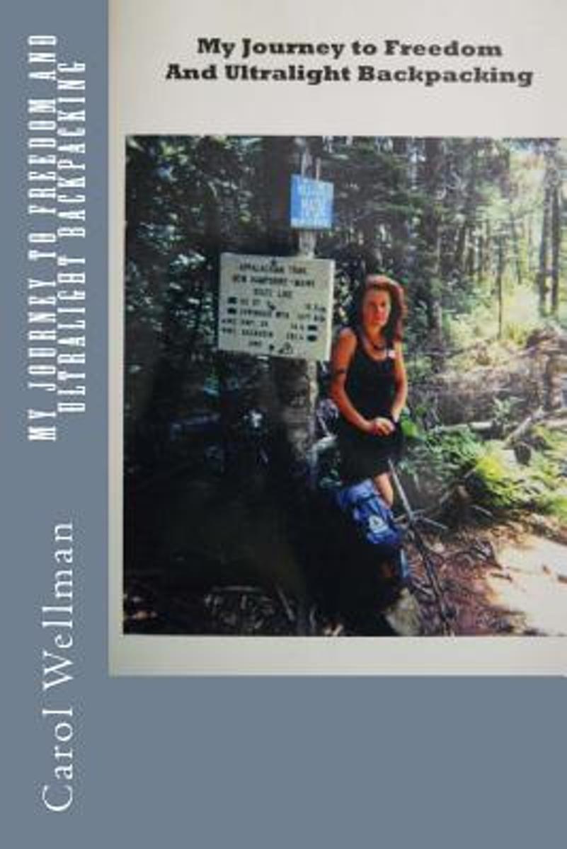
- My Journey to Freedom and Ultralight Backpacking
- This is the inspiring account of her adventures, of hiking thousands of miles (mostly alone) from Mexico to Canada, through the Mojave Desert and the High Sierra, and then in the Appalachian Mountains from Georgia to Maine. When she hasn't been hiking, she has been designing ultralight backpacking gear; award winning gear that has been... Read more
- Also available from:
- Bol.com, Belgium
- The Book Depository, United Kingdom
Bol.com
Belgium
Belgium
- My Journey to Freedom and Ultralight Backpacking
- This is the inspiring account of her adventures, of hiking thousands of miles (mostly alone) from Mexico to Canada, through the Mojave Desert and the High Sierra, and then in the Appalachian Mountains from Georgia to Maine. When she hasn't been hiking, she has been designing ultralight backpacking gear; award winning gear that has been... Read more

Bol.com
Netherlands
Netherlands
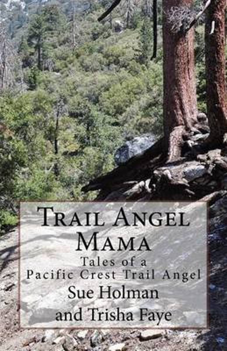
- Trail Angel Mama
- Trail magic; kindnesses from the hearts of strangers add magic to hikers journeys. This magic is often small a bottle of water, a ride into town, a candy bar. Sometimes the generosity is a meal or a bed for the night. The Holmans, day hikers themselves, live near the Pacific Crest Trail. They searched for a way to give back to their... Read more
- Also available from:
- Bol.com, Belgium
- The Book Depository, United Kingdom
Bol.com
Belgium
Belgium
- Trail Angel Mama
- Trail magic; kindnesses from the hearts of strangers add magic to hikers journeys. This magic is often small a bottle of water, a ride into town, a candy bar. Sometimes the generosity is a meal or a bed for the night. The Holmans, day hikers themselves, live near the Pacific Crest Trail. They searched for a way to give back to their... Read more

Bol.com
Netherlands
Netherlands
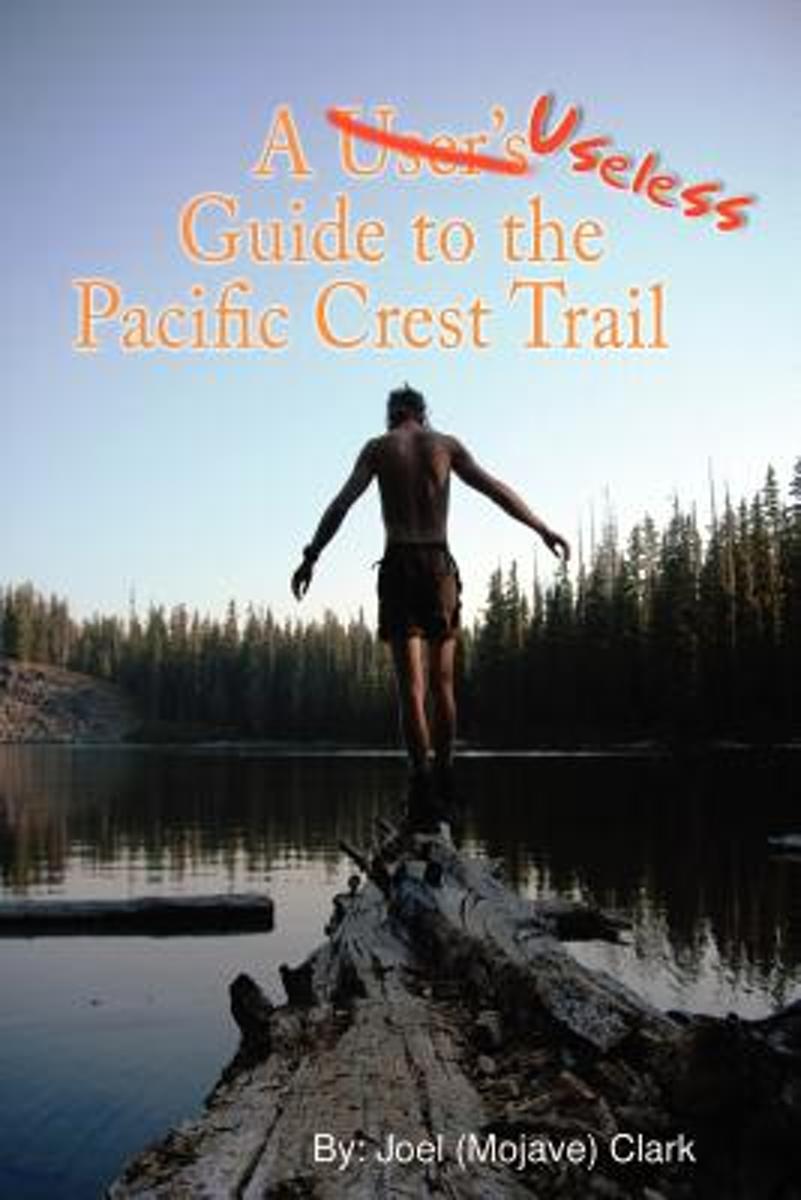
- A Useless Guide to the Pacific Crest Trail
- The printed day-by-day journal of Joel (Mojave) Clark's thru-hike of the 2,658 mile Pacific Crest Trail in 2006. Details the "fun" of hiking with an obsessive-compulsive trail partner; but also the beauty, the bizarre, and the techniques of hiking from Mexico to Canada. Read more
- Also available from:
- Bol.com, Belgium
Bol.com
Belgium
Belgium
- A Useless Guide to the Pacific Crest Trail
- The printed day-by-day journal of Joel (Mojave) Clark's thru-hike of the 2,658 mile Pacific Crest Trail in 2006. Details the "fun" of hiking with an obsessive-compulsive trail partner; but also the beauty, the bizarre, and the techniques of hiking from Mexico to Canada. Read more
Bol.com
Netherlands
Netherlands
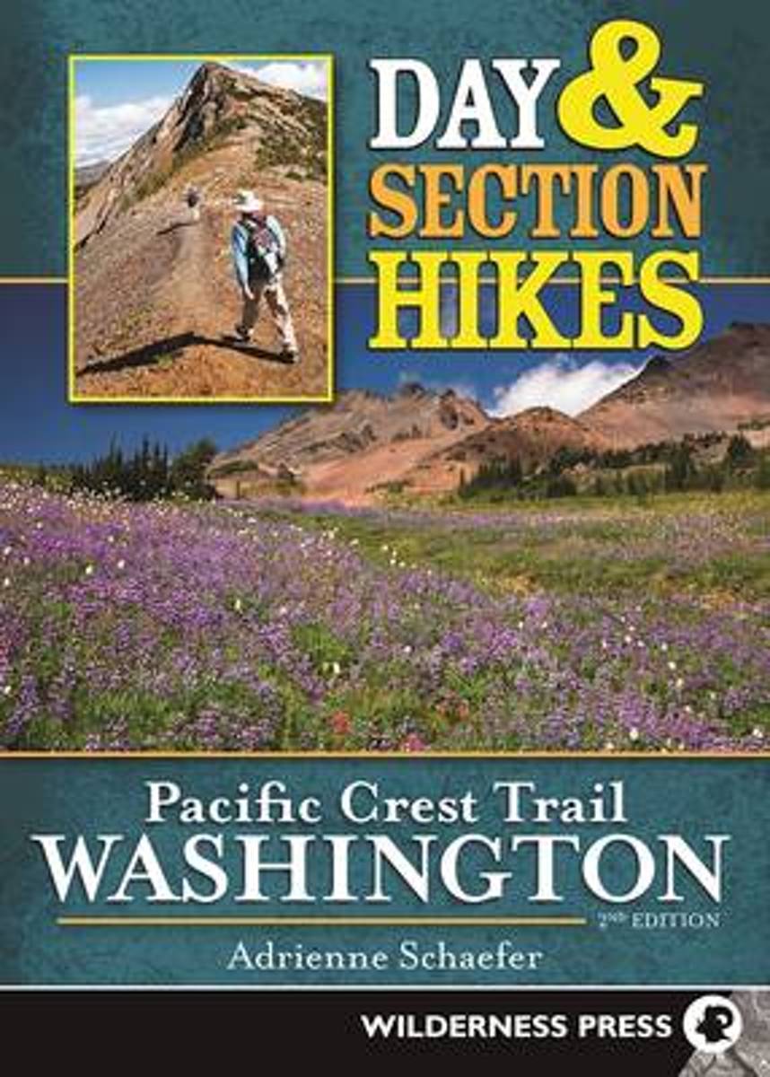
- Day & Section Hikes Pacific Crest Trail
- Washington is a dynamic state, to say the least. It's amazing how quickly the landscape can change: Fires rage in the summer, closing trails and burning huge swaths of forest; bridges get washed away in massive floods; and avalanches knock trees over like matchsticks, taking out entire sections of trail with them. The second edition of Day and... Read more
- Also available from:
- Bol.com, Belgium
- The Book Depository, United Kingdom
Bol.com
Belgium
Belgium
- Day & Section Hikes Pacific Crest Trail
- Washington is a dynamic state, to say the least. It's amazing how quickly the landscape can change: Fires rage in the summer, closing trails and burning huge swaths of forest; bridges get washed away in massive floods; and avalanches knock trees over like matchsticks, taking out entire sections of trail with them. The second edition of Day and... Read more

The Book Depository
United Kingdom
United Kingdom
Bol.com
Netherlands
Netherlands
- Laufen. Essen. Schlafen.
- Als Christine Th rmer gek ndigt wird, beschlie t sie, sich eine Auszeit zu nehmen und auf dem Pacific Crest Trail von Mexiko nach Kanada zu wandern 4277 Kilometer. Eigentlich unsportlich, bricht sie zu ihrem Abenteuer auf und schafft es tats chlich bis ans Ziel. Und sie geht weiter, l uft den Continental Divide Trail und den Appalachian... Read more
- Also available from:
- Bol.com, Belgium
Bol.com
Belgium
Belgium
- Laufen. Essen. Schlafen.
- Als Christine Th rmer gek ndigt wird, beschlie t sie, sich eine Auszeit zu nehmen und auf dem Pacific Crest Trail von Mexiko nach Kanada zu wandern 4277 Kilometer. Eigentlich unsportlich, bricht sie zu ihrem Abenteuer auf und schafft es tats chlich bis ans Ziel. Und sie geht weiter, l uft den Continental Divide Trail und den Appalachian... Read more
Bol.com
Netherlands
Netherlands
- Rattlesnakes and Bald Eagles
- As probably the world's most experienced long distance walker who also writes, Chris Townsend has many stories to tell and many photographs to illustrate them with. Of all his adventures, those he enjoyed on America's Pacific Crest Trail in the Eighties are among his favourites. The PCT runs 2,600 miles from Mexico to Canada through desert,... Read more
- Also available from:
- Bol.com, Belgium
- The Book Depository, United Kingdom
Bol.com
Belgium
Belgium
- Rattlesnakes and Bald Eagles
- As probably the world's most experienced long distance walker who also writes, Chris Townsend has many stories to tell and many photographs to illustrate them with. Of all his adventures, those he enjoyed on America's Pacific Crest Trail in the Eighties are among his favourites. The PCT runs 2,600 miles from Mexico to Canada through desert,... Read more

The Book Depository
United Kingdom
United Kingdom
- Rattlesnakes and Bald Eagles
- Hiking the Pacific Crest Trail Read more
Bol.com
Netherlands
Netherlands
- Twelve Months at Lake Valhalla
- Twelve months of visits to a mountain lake tells more than twelve tales. The solitude found during a Wednesday in the winter is completely different than the chaos found on a Saturday in the summer. The seasons make one set of changes. We make the other. The combination produces a much more interesting set of experiences that can't be revealed... Read more
- Also available from:
- Bol.com, Belgium
Bol.com
Belgium
Belgium
- Twelve Months at Lake Valhalla
- Twelve months of visits to a mountain lake tells more than twelve tales. The solitude found during a Wednesday in the winter is completely different than the chaos found on a Saturday in the summer. The seasons make one set of changes. We make the other. The combination produces a much more interesting set of experiences that can't be revealed... Read more
Bol.com
Netherlands
Netherlands
- Day Hikes and Overnights on the Pacific Crest Trail
- The Pacific Crest Trail is one of America s great long-distance hiking routes. The PCT folllows the mountains from the Mexican border in the south all the way to the Canadian border in the north. Cheryl Strayed s bestselling Wild led huge numbers of Americans to hear about the PCT for the first time. Now Kast-Myers gives you the tools you need... Read more
- Also available from:
- Bol.com, Belgium
- The Book Depository, United Kingdom
Bol.com
Belgium
Belgium
- Day Hikes and Overnights on the Pacific Crest Trail
- The Pacific Crest Trail is one of America s great long-distance hiking routes. The PCT folllows the mountains from the Mexican border in the south all the way to the Canadian border in the north. Cheryl Strayed s bestselling Wild led huge numbers of Americans to hear about the PCT for the first time. Now Kast-Myers gives you the tools you need... Read more

The Book Depository
United Kingdom
United Kingdom
- Day Hikes and Overnights on the Pacific Crest Trail: Southern California
- From the Mexican Border to Los Angeles County Read more
Bol.com
Netherlands
Netherlands
- Triple Crown of Hiking [In Gift Box]
- The United States has numerous long distance trails but three trails have risen to the top of the consciousness of the hiking community. These are the Appalachian Trail at 2,200 miles, the Pacific Crest Trail at 2,700 miles and the Contental Divide Trail at 3,100 miles. Added together these three trails cover almost 8,000 miles of the most... Read more
- Also available from:
- Bol.com, Belgium
Bol.com
Belgium
Belgium
- Triple Crown of Hiking [In Gift Box]
- The United States has numerous long distance trails but three trails have risen to the top of the consciousness of the hiking community. These are the Appalachian Trail at 2,200 miles, the Pacific Crest Trail at 2,700 miles and the Contental Divide Trail at 3,100 miles. Added together these three trails cover almost 8,000 miles of the most... Read more
Bol.com
Netherlands
Netherlands
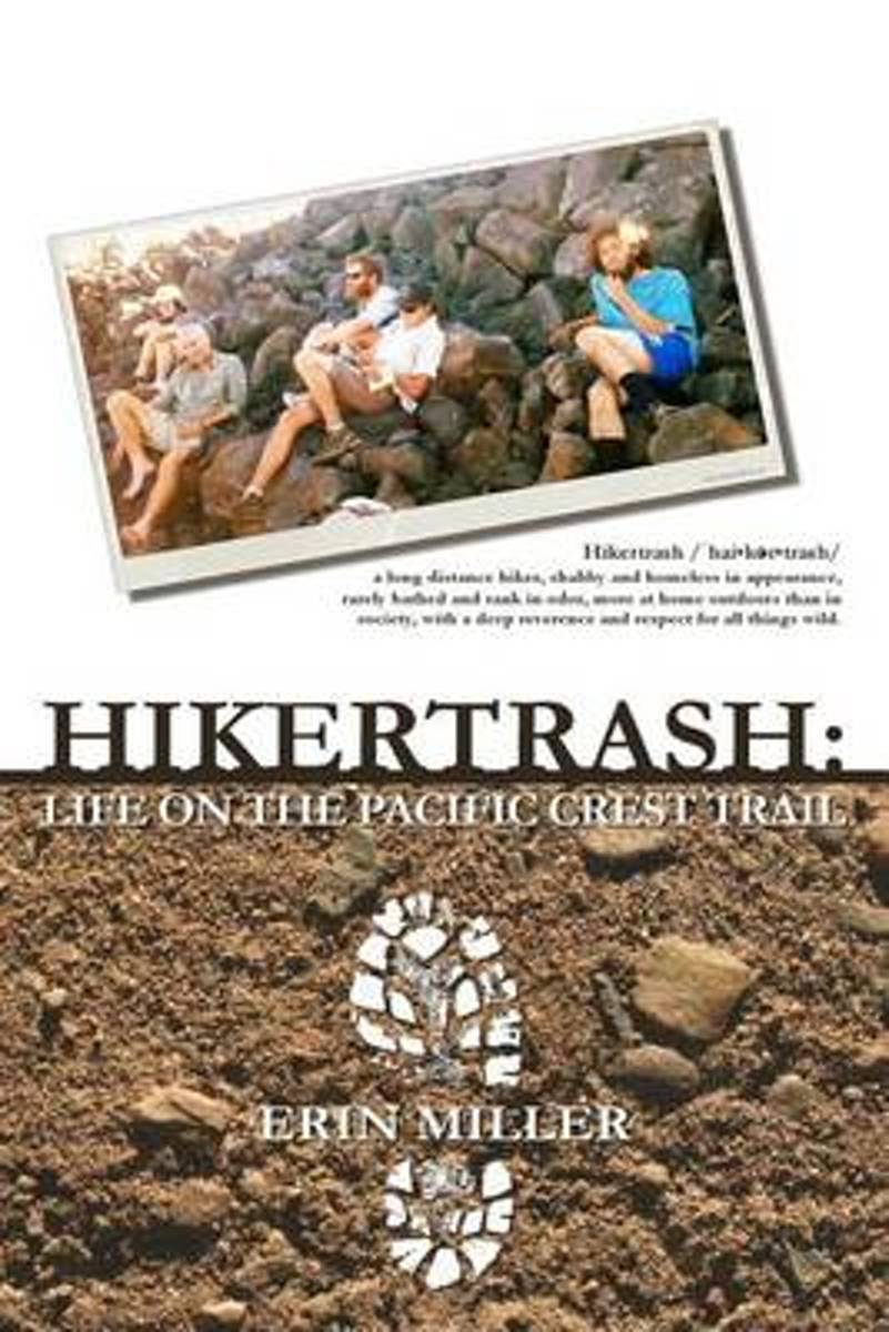
- Hikertrash
- Teetering awkwardly on the brink of insanity, unable to handle life in snowy, cold, ultra-conservative North Idaho, Carl and Erin sold their house and set out in search of a new place to call home. Suddenly finding themselves completely free of responsibilities, jobless, and with a little spare cash in the bank, it didn't take long before their... Read more
- Also available from:
- Bol.com, Belgium
Bol.com
Belgium
Belgium
- Hikertrash
- Teetering awkwardly on the brink of insanity, unable to handle life in snowy, cold, ultra-conservative North Idaho, Carl and Erin sold their house and set out in search of a new place to call home. Suddenly finding themselves completely free of responsibilities, jobless, and with a little spare cash in the bank, it didn't take long before their... Read more
Bol.com
Netherlands
Netherlands
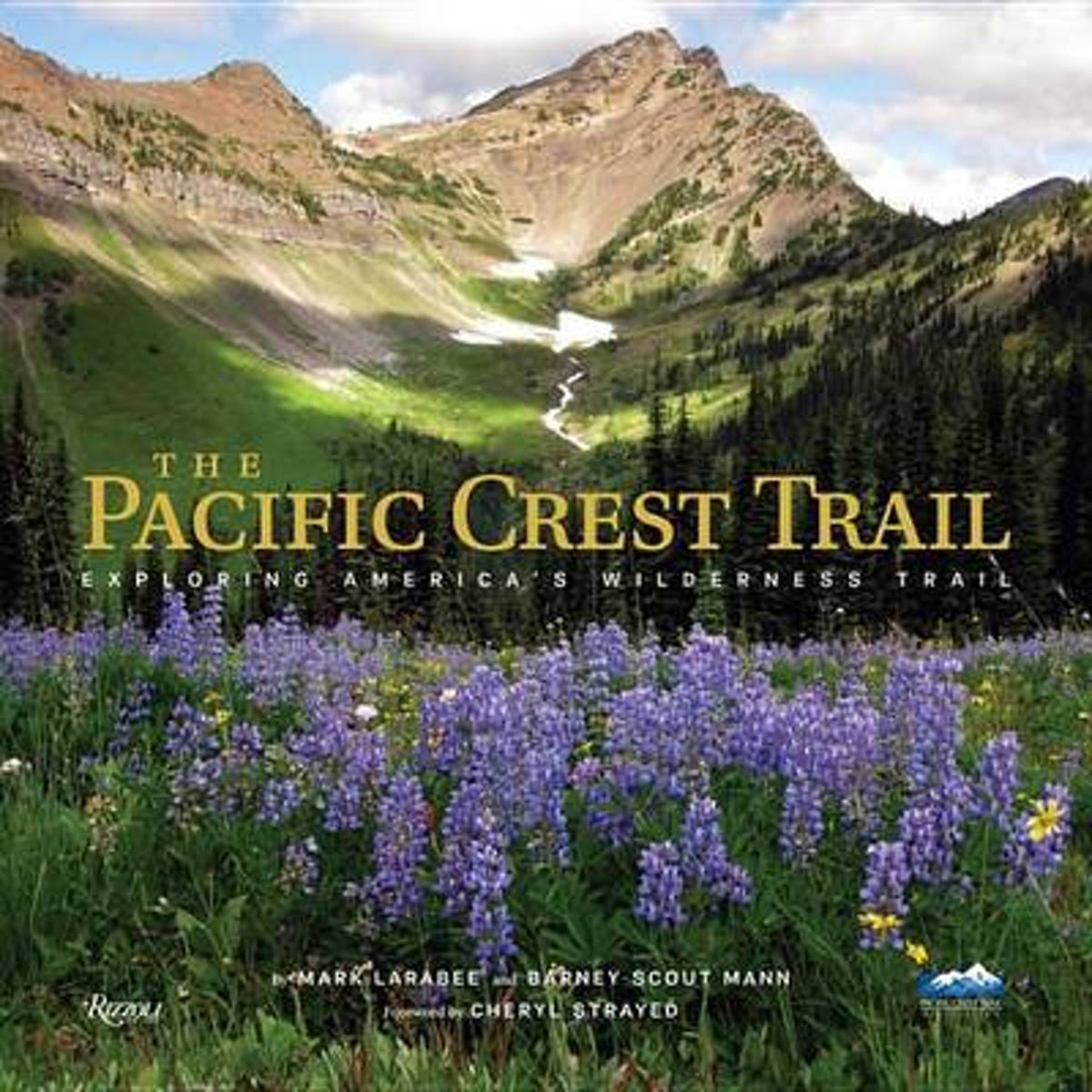
- The Pacific Crest Trail
- Designated as one of the first two national scenic trails in 1968, the Pacific Crest Trail is a continuous footpath of more than 2,650 miles from the Mexican border to the Canadian border through California, Oregon, and Washington. Hikers from all over the world are drawn to this trail to experience true American wilderness and to challenge... Read more
- Also available from:
- Bol.com, Belgium
Bol.com
Belgium
Belgium
- The Pacific Crest Trail
- Designated as one of the first two national scenic trails in 1968, the Pacific Crest Trail is a continuous footpath of more than 2,650 miles from the Mexican border to the Canadian border through California, Oregon, and Washington. Hikers from all over the world are drawn to this trail to experience true American wilderness and to challenge... Read more
Bol.com
Netherlands
Netherlands
- Hiking the Pacific Crest Trail
- Section Hiking from Tuolumne Meadows to Donomore Pass Read more
- Also available from:
- Bol.com, Belgium
- The Book Depository, United Kingdom
Bol.com
Belgium
Belgium
- Hiking the Pacific Crest Trail
- Section Hiking from Tuolumne Meadows to Donomore Pass Read more

The Book Depository
United Kingdom
United Kingdom
- Hiking the Pacific Crest Trail: Southern California
- Section Hiking from Campo to Tuolumne Meadows Read more
Bol.com
Netherlands
Netherlands
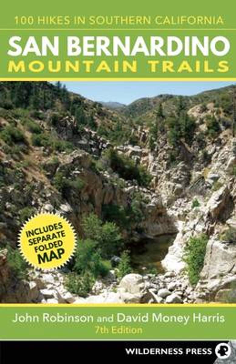
- San Bernardino Mountain Trails
- Southern California's highest and most rugged mountains are in the San Bernardino and San Jacinto ranges, in a unique region where desert cactus and pine trees, plus snow-capped peaks and palm oases, are found in close proximity. With the Pacific Crest Trail weaving its way through the mountains and desert, there are endless opportunities to... Read more
- Also available from:
- Bol.com, Belgium
Bol.com
Belgium
Belgium
- San Bernardino Mountain Trails
- Southern California's highest and most rugged mountains are in the San Bernardino and San Jacinto ranges, in a unique region where desert cactus and pine trees, plus snow-capped peaks and palm oases, are found in close proximity. With the Pacific Crest Trail weaving its way through the mountains and desert, there are endless opportunities to... Read more
Kaarten

De Zwerver
Netherlands
Netherlands
- Wandelkaart - Topografische kaart 809 Mammoth Lakes - Mono Divide - Inyo and Sierra National Forests | National Geographic
- Prachtige geplastificeerde kaart van het bekende nationaal park. Met alle recreatieve voorzieningen als campsites, maar ook met topografische details en wandelroutes ed. Door uitgekiend kleurgebruik zeer prettig in gebruik. Scheur en watervast! Trails Illustrated Mammoth Lakes / Mono Divide is the first of five exciting new maps for the... Read more
- Also available from:
- Bol.com, Netherlands
- Bol.com, Belgium
- Stanfords, United Kingdom

Bol.com
Netherlands
Netherlands
- Mammoth Lakes/mono Divide
- Waterproof Tear-Resistant Topographic MapTrails Illustrated Mammoth Lakes / Mono Divide is the first of five exciting new maps for the California Sierra Nevadas that will combine to form seamless coverage of the high-use National Forest areas between Sequoia / Kings Canyon National Parks and Lake Tahoe. This region contains some of the... Read more
Bol.com
Belgium
Belgium
- Mammoth Lakes/mono Divide
- Waterproof Tear-Resistant Topographic MapTrails Illustrated Mammoth Lakes / Mono Divide is the first of five exciting new maps for the California Sierra Nevadas that will combine to form seamless coverage of the high-use National Forest areas between Sequoia / Kings Canyon National Parks and Lake Tahoe. This region contains some of the... Read more

Stanfords
United Kingdom
United Kingdom
- Mammoth Lakes - Mono Divide CA
- Map No. 809, Mammoth Lakes / Mono Divide, CA, in an extensive series of GPS compatible, contoured hiking maps of USA’s national and state parks or forests and other popular recreational areas. Cartography based on the national topographic survey, with additional tourist information.The maps, with most titles now printed on light, waterproof and... Read more

Bol.com
Netherlands
Netherlands
- Carson-iceberg/emigrant/mokleumne Wilderness Areas
- Waterproof Tear-Resistant Topographic MapPart of our exciting new coverage for California's Sierra Nevada, our Carson-Iceberg, Emigrant and Mokelumne Wilderness Trails Illustrated map details the high use recreation areas of Stanislaus and Humboldt-Toiyabe National Forests from Yosemite National Park north to Caples Lake and Markleeville.... Read more
- Also available from:
- Bol.com, Belgium
- Stanfords, United Kingdom
Bol.com
Belgium
Belgium
- Carson-iceberg/emigrant/mokleumne Wilderness Areas
- Waterproof Tear-Resistant Topographic MapPart of our exciting new coverage for California's Sierra Nevada, our Carson-Iceberg, Emigrant and Mokelumne Wilderness Trails Illustrated map details the high use recreation areas of Stanislaus and Humboldt-Toiyabe National Forests from Yosemite National Park north to Caples Lake and Markleeville.... Read more

Stanfords
United Kingdom
United Kingdom
- Carson-Iceberg - Emigrant and Mokleumne Wilderness Areas CA
- Map No. 807, Carson-Iceberg / Emigrant / Mokleumne Wilderness Areas, CA, in an extensive series of GPS compatible, contoured hiking maps of USA’s national and state parks or forests and other popular recreational areas. Cartography based on the national topographic survey, with additional tourist information.The maps, with most titles now... Read more

Bol.com
Netherlands
Netherlands
- Goat Rocks & Norse Peak Wilderness Area, Gifford-pinchot & Okanogan-wenatchee National Forests
- Waterproof Tear-Resistant Topographic MapGifford-Pinchot and Okanogan-Wenatchee National Forests Washington, USAOne of five new Trails Illustrated maps for the Washington Cascades region offers the most detailed and up-to-date map for the forest, carefully researched and developed in co-operation with local land managers and agencies.... Read more
- Also available from:
- Bol.com, Belgium
- Stanfords, United Kingdom
Bol.com
Belgium
Belgium
- Goat Rocks & Norse Peak Wilderness Area, Gifford-pinchot & Okanogan-wenatchee National Forests
- Waterproof Tear-Resistant Topographic MapGifford-Pinchot and Okanogan-Wenatchee National Forests Washington, USAOne of five new Trails Illustrated maps for the Washington Cascades region offers the most detailed and up-to-date map for the forest, carefully researched and developed in co-operation with local land managers and agencies.... Read more

Stanfords
United Kingdom
United Kingdom
- Goat Rocks - Norse Peak William O. Douglas Wilderness Area WA
- Map No. 823, Goat Rocks and Norse Peak Wilderness Area - Gifford-Pinchot and Okanogan-Wenatchee National Forests, WA, in an extensive series of GPS compatible, contoured hiking maps of USA’s national and state parks or forests and other popular recreational areas. Cartography based on the national topographic survey, with additional tourist... Read more

Bol.com
Netherlands
Netherlands
- Alpine Lakes Wilderness Area, Mount Baker-snoqualmie & Okanogan-wenatchee National Forests
- Waterproof Tear-Resistant Topographic MapMount Baker-Snoqualmie and Okanogan-Wenatchee National Forests Washington, USAOne of five new Trails Illustrated maps for the Washington Cascades region offering the most detailed and up-to-date map for the forest, carefully researched and developed in co-operation with local land managers and... Read more
- Also available from:
- Bol.com, Belgium
- Stanfords, United Kingdom
Bol.com
Belgium
Belgium
- Alpine Lakes Wilderness Area, Mount Baker-snoqualmie & Okanogan-wenatchee National Forests
- Waterproof Tear-Resistant Topographic MapMount Baker-Snoqualmie and Okanogan-Wenatchee National Forests Washington, USAOne of five new Trails Illustrated maps for the Washington Cascades region offering the most detailed and up-to-date map for the forest, carefully researched and developed in co-operation with local land managers and... Read more

Stanfords
United Kingdom
United Kingdom
- Alpine Lakes Wilderness - Mt Baker-Snoqualmie and Okanogan-Wenatchee National Forests WA
- Map No. 825, Alpine Lakes Wilderness Area - Mount Baker-Snoqualmie Wilderness Areas and Okanogan-Wenatchee National Forests, WA, in an extensive series of GPS compatible, contoured hiking maps of USA’s national and state parks or forests and other popular recreational areas. Cartography based on the national topographic survey, with additional... Read more

Bol.com
Netherlands
Netherlands
- Mount Whitney
- Waterproof Tear-Resistant Topographic MapMount Whitney is universally famous as the highest mountain in the United State outside of Alaska, as well as the highest point in California. National Geographic's Trails Illustrated map of Mount Whitney is a two-sided, waterproof map designed to meet the needs of Whitney visitors with unmatched... Read more
- Also available from:
- Bol.com, Belgium
- Stanfords, United Kingdom
Bol.com
Belgium
Belgium
- Mount Whitney
- Waterproof Tear-Resistant Topographic MapMount Whitney is universally famous as the highest mountain in the United State outside of Alaska, as well as the highest point in California. National Geographic's Trails Illustrated map of Mount Whitney is a two-sided, waterproof map designed to meet the needs of Whitney visitors with unmatched... Read more

Stanfords
United Kingdom
United Kingdom
- Mount Whitney CA NGS Trails Illustrated Map 322
- Map No. 322, Mount Whitney in California at 1:40,000, in an extensive series of GPS compatible, contoured hiking maps of USA’s national and state parks or forests and other popular recreational areas. Cartography is based on the national topographic survey, with additional tourist information.The maps, with most titles now printed on light,... Read more

De Zwerver
Netherlands
Netherlands
- Wandelkaart - Topografische kaart 205 Sequoia - Kings Canyon National Parks | National Geographic
- Prachtige geplastificeerde kaart van het nationaal park. Met alle recreatieve voorzieningen als campsites, maar ook met topografische details en wandelroutes ed. Door uitgekiend kleurgebruik zeer prettig in gebruik. Scheur en watervast! Trails Illustrated maps are the most trusted and popular recreation maps available. Continually setting the... Read more
- Also available from:
- Bol.com, Netherlands
- Bol.com, Belgium
- Stanfords, United Kingdom
- The Book Depository, United Kingdom

Bol.com
Netherlands
Netherlands
- Sequoia/kings Canyon National Park
- Waterproof Tear-Resistant Topographic MapIn Sequioa and Kings Canyon National Parks you can walk among the world's largest trees, hike the alpine landscape of the Sierra Crest, and marvel at the towering granite cliffs of one of the deepest canyons in the United States. National Geographic's Trails Illustrated map of Sequoia and Kings... Read more
Bol.com
Belgium
Belgium
- Sequoia/kings Canyon National Park
- Waterproof Tear-Resistant Topographic MapIn Sequioa and Kings Canyon National Parks you can walk among the world's largest trees, hike the alpine landscape of the Sierra Crest, and marvel at the towering granite cliffs of one of the deepest canyons in the United States. National Geographic's Trails Illustrated map of Sequoia and Kings... Read more

Stanfords
United Kingdom
United Kingdom
- Sequoia - Kings Canyon National Parks CA NGS Trails Illustrated Map 205
- Map No. 205, Sequoia/Kings Canyon National Park, CA, in an extensive series of GPS compatible, contoured hiking maps of USA’s national and state parks or forests and other popular recreational areas. Cartography based on the national topographic survey, with additional tourist information.The maps, with most titles now printed on light,... Read more

The Book Depository
United Kingdom
United Kingdom
- Sequoia/kings Canyon National Park
- Trails Illustrated National Parks Read more