
Eldorado National Forest
Beschrijving
Paden in deze regio
Links
Feiten
Verslagen
Gidsen en kaarten
Overnachting
Organisaties
Reisorganisaties
GPS
Anders
Boeken

De Zwerver
Netherlands
2018
Netherlands
2018

De Zwerver
Netherlands
Netherlands
- Reisverhaal Six Months With Three Pairs Of Undies | André De Jel, Lian De Jel
- The Pacific Crest Trail Read more
Bol.com
Netherlands
Netherlands
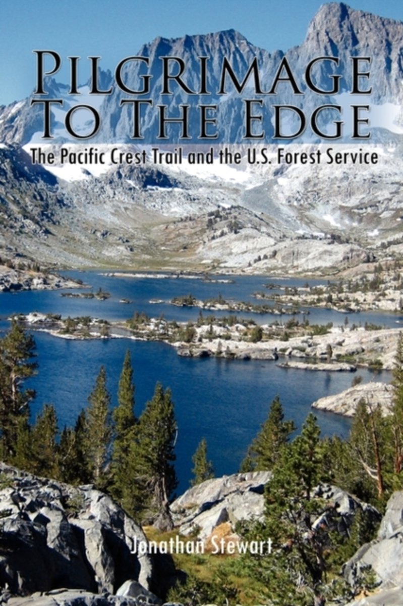
- Pilgrimage to the Edge
- Pilgrimage to the Edge details a four year odyssey hiking the Pacific Crest Trail with unique insights gained from thirty-three years of public service. It showcases the hard-won fight to preserve America's public lands and the diversity of people who continue to use and work them. It vividly displays the contemporary challenges of caring for... Read more
- Also available from:
- Bol.com, Belgium
Bol.com
Belgium
Belgium
- Pilgrimage to the Edge
- Pilgrimage to the Edge details a four year odyssey hiking the Pacific Crest Trail with unique insights gained from thirty-three years of public service. It showcases the hard-won fight to preserve America's public lands and the diversity of people who continue to use and work them. It vividly displays the contemporary challenges of caring for... Read more
Bol.com
Netherlands
Netherlands
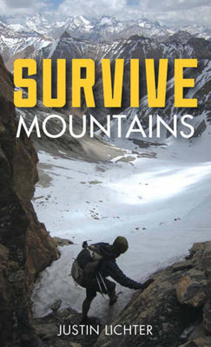
- Survive
- Lightweight and small enough to fit in your pocket or tucked into your backpack, Survive Mountains is the must-have item to keep with you in case you find yourself in a mountainous survival situation. Including topics on administering basic first-aid, finding food and water, building shelter, and mental preparation, Survive Mountains also has... Read more
- Also available from:
- Bol.com, Belgium
Bol.com
Belgium
Belgium
- Survive
- Lightweight and small enough to fit in your pocket or tucked into your backpack, Survive Mountains is the must-have item to keep with you in case you find yourself in a mountainous survival situation. Including topics on administering basic first-aid, finding food and water, building shelter, and mental preparation, Survive Mountains also has... Read more
Bol.com
Netherlands
Netherlands
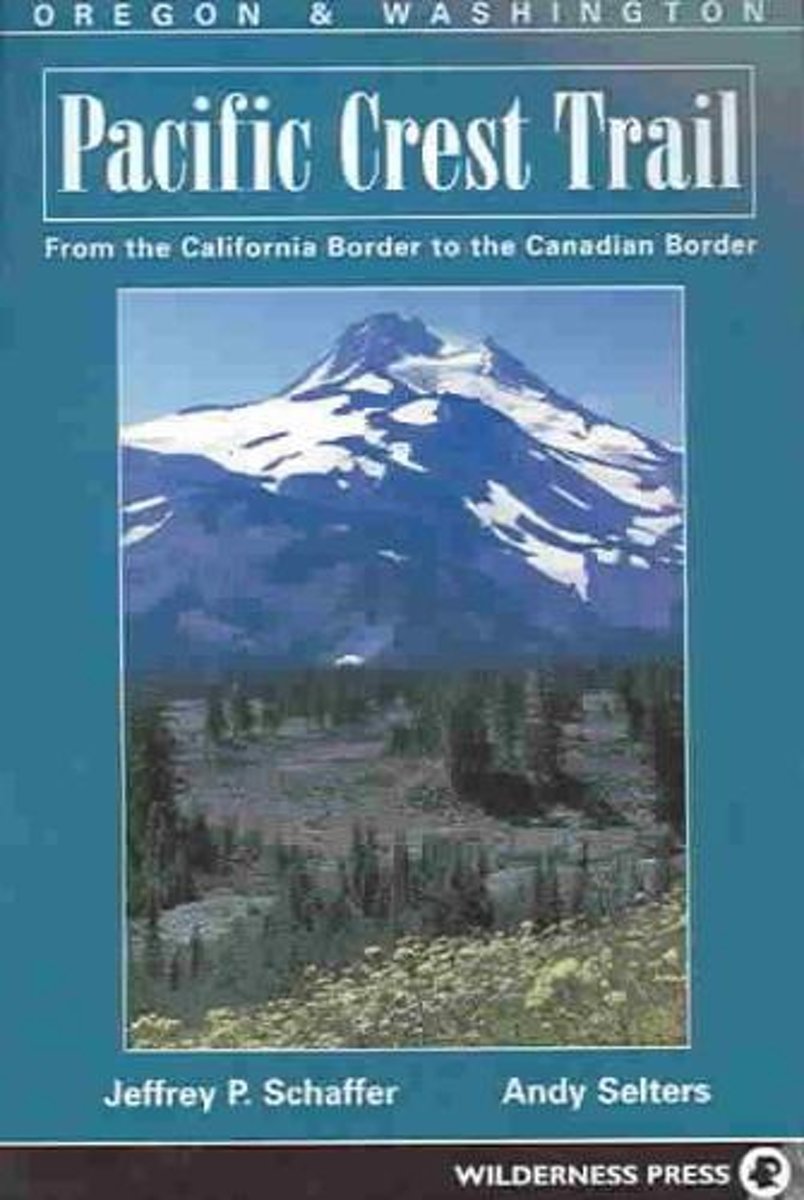
- Pacific Crest Trail
- Stretching over 2600 miles from the Mexican to the Canadian border, the Pacific Crest Trail (PCT) passes through some of the most breathtaking scenery in the U.S. Each year hundreds of hikers attempt to complete the entire trail while thousands of others take it in smaller sections. Designed for thru hikers, section hikers, and day hikers it... Read more
- Also available from:
- Bol.com, Belgium
Bol.com
Belgium
Belgium
- Pacific Crest Trail
- Stretching over 2600 miles from the Mexican to the Canadian border, the Pacific Crest Trail (PCT) passes through some of the most breathtaking scenery in the U.S. Each year hundreds of hikers attempt to complete the entire trail while thousands of others take it in smaller sections. Designed for thru hikers, section hikers, and day hikers it... Read more
Bol.com
Netherlands
Netherlands
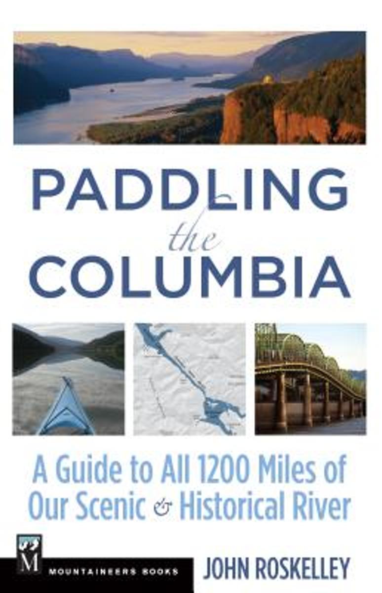
- Paddling the Columbia
- Follow in the wake literally of Lewis and Clark! A planner for all 1200 miles of the river whether in one continuous trip or in sectionsPaddling the Columbia begins at the river's headwaters on Columbia Lake in British Columbia and provides comprehensive information for traveling its full 1245 miles to the Pacific. The guidebook enables... Read more
- Also available from:
- Bol.com, Belgium
Bol.com
Belgium
Belgium
- Paddling the Columbia
- Follow in the wake literally of Lewis and Clark! A planner for all 1200 miles of the river whether in one continuous trip or in sectionsPaddling the Columbia begins at the river's headwaters on Columbia Lake in British Columbia and provides comprehensive information for traveling its full 1245 miles to the Pacific. The guidebook enables... Read more
Bol.com
Netherlands
Netherlands
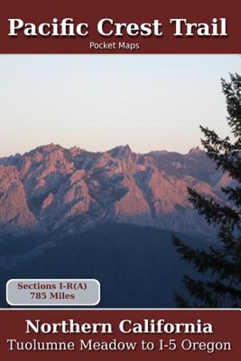
- Pacific Crest Trail Pocket Maps - Northern California
- Northern CaliforniaThe Pacific Crest Trail Pocket Map Series is a complete and concise set of topographic maps created with digitized base maps covering every step of the 2,655 mile trail from Mexico to Canada.The land cover, hydrology and contour data used to create these maps has been collected within the last 5 years, presented in a... Read more
- Also available from:
- Bol.com, Belgium
Bol.com
Belgium
Belgium
- Pacific Crest Trail Pocket Maps - Northern California
- Northern CaliforniaThe Pacific Crest Trail Pocket Map Series is a complete and concise set of topographic maps created with digitized base maps covering every step of the 2,655 mile trail from Mexico to Canada.The land cover, hydrology and contour data used to create these maps has been collected within the last 5 years, presented in a... Read more
Bol.com
Netherlands
Netherlands
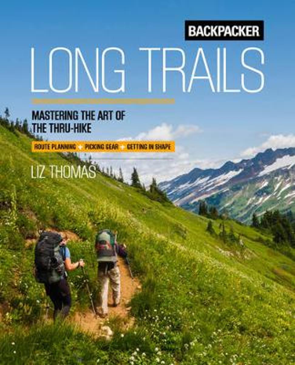
- Backpacker Long Trails
- Including trail-proven advice from one of North America's leading authorities on long-distance hiking, Liz Snorkel Thomas-the women's speed record holder for the Appalachian Trail-, Backpacker's Long Trails walks you through everything you need to know to conduct an efficient, fun, and safe thru-hike. Whether you're planning to attempt the... Read more
- Also available from:
- Bol.com, Belgium
- The Book Depository, United Kingdom
Bol.com
Belgium
Belgium
- Backpacker Long Trails
- Including trail-proven advice from one of North America's leading authorities on long-distance hiking, Liz Snorkel Thomas-the women's speed record holder for the Appalachian Trail-, Backpacker's Long Trails walks you through everything you need to know to conduct an efficient, fun, and safe thru-hike. Whether you're planning to attempt the... Read more

Bol.com
Netherlands
Netherlands
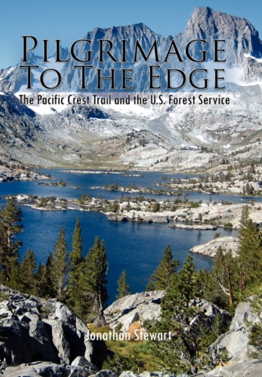
- Pilgrimage to the Edge
- Pilgrimage to the Edge details a four year odyssey hiking the Pacific Crest Trail with unique insights gained from thirty-three years of public service. It showcases the hard-won fight to preserve America's public lands and the diversity of people who continue to use and work them. It vividly displays the contemporary challenges of caring for... Read more
- Also available from:
- Bol.com, Belgium
Bol.com
Belgium
Belgium
- Pilgrimage to the Edge
- Pilgrimage to the Edge details a four year odyssey hiking the Pacific Crest Trail with unique insights gained from thirty-three years of public service. It showcases the hard-won fight to preserve America's public lands and the diversity of people who continue to use and work them. It vividly displays the contemporary challenges of caring for... Read more

Bol.com
Netherlands
Netherlands
- Coming Home
- Coming Home is one woman's story of facing fear, loss and isolation. Spanning 40 years, this journey begins with hiking the Pacific Crest Trail in 1972. The author details adventurous travels to New Zealand, the Galapagos Islands, Grand Canyon, and Yosemite which are woven together with vivid descriptions of the challenges and celebrations of... Read more
- Also available from:
- Bol.com, Belgium
- The Book Depository, United Kingdom
Bol.com
Belgium
Belgium
- Coming Home
- Coming Home is one woman's story of facing fear, loss and isolation. Spanning 40 years, this journey begins with hiking the Pacific Crest Trail in 1972. The author details adventurous travels to New Zealand, the Galapagos Islands, Grand Canyon, and Yosemite which are woven together with vivid descriptions of the challenges and celebrations of... Read more

Bol.com
Netherlands
Netherlands
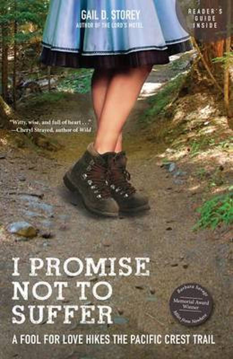
- I Promise Not to Suffer
- With comfortable urban lives in Houston, Texas, and career and life goals mostly accomplished, Gail D. Storey and her husband were in their fifties when they decided it was time to test themselves on a new path a 2,663-mile path known as the Pacific Crest Trail, which stretches from Mexico to Canada. "I Promise Not to Suffer" is Gail's... Read more
- Also available from:
- Bol.com, Belgium
Bol.com
Belgium
Belgium
- I Promise Not to Suffer
- With comfortable urban lives in Houston, Texas, and career and life goals mostly accomplished, Gail D. Storey and her husband were in their fifties when they decided it was time to test themselves on a new path a 2,663-mile path known as the Pacific Crest Trail, which stretches from Mexico to Canada. "I Promise Not to Suffer" is Gail's... Read more
Bol.com
Netherlands
Netherlands
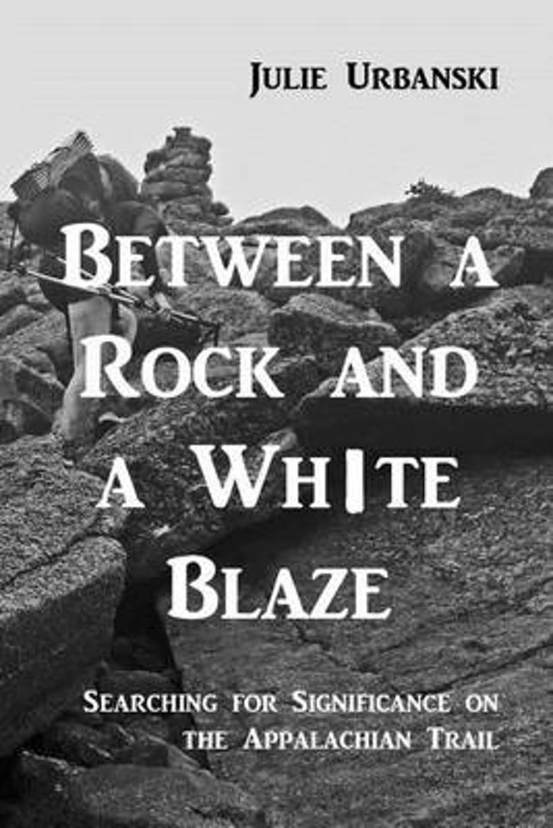
- Between a Rock and a White Blaze
- Four years removed from her first long-distance hike on the Pacific Crest Trail, Julie, aka Stopwatch, is ready to embark on another thru-hike, this time following the white blazes of the Appalachian Trail, a 2181 mile continuous footpath from Georgia to Maine. She is accompanied by her husband, Matt, aka Optimist, for whom it is his second... Read more
- Also available from:
- Bol.com, Belgium
Bol.com
Belgium
Belgium
- Between a Rock and a White Blaze
- Four years removed from her first long-distance hike on the Pacific Crest Trail, Julie, aka Stopwatch, is ready to embark on another thru-hike, this time following the white blazes of the Appalachian Trail, a 2181 mile continuous footpath from Georgia to Maine. She is accompanied by her husband, Matt, aka Optimist, for whom it is his second... Read more
Bol.com
Netherlands
Netherlands
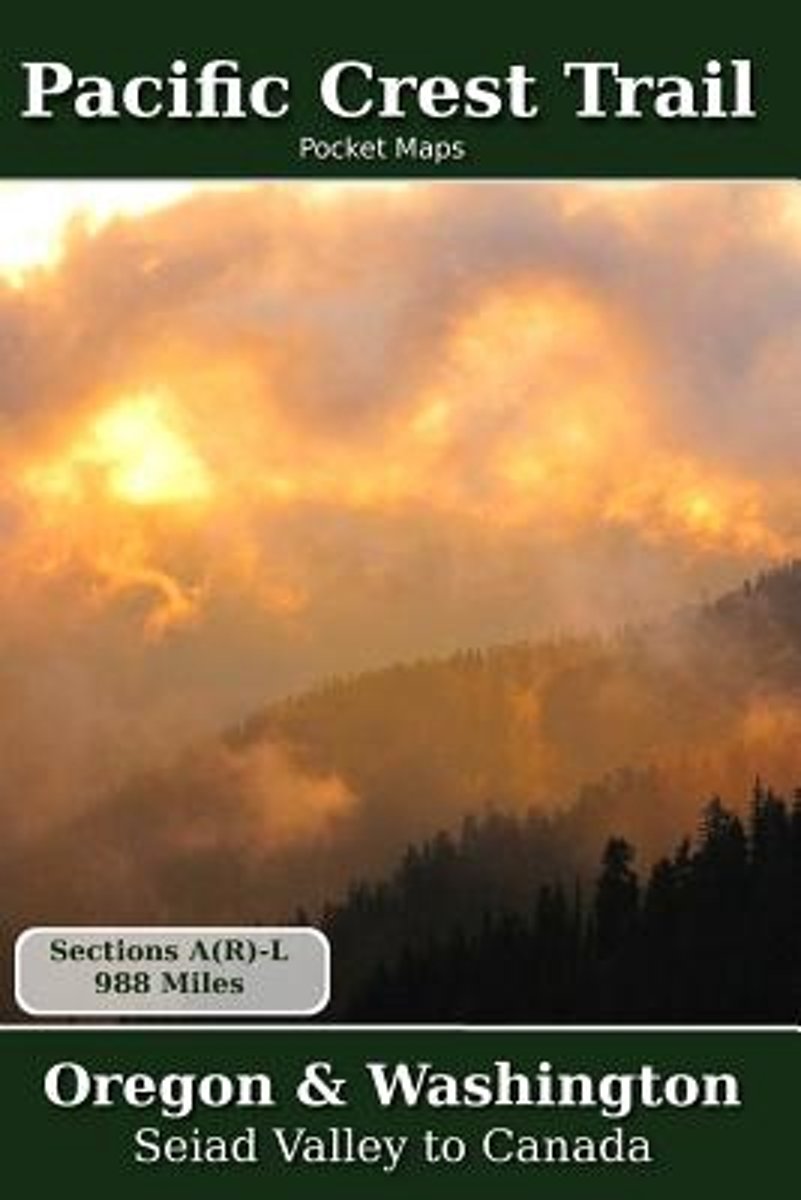
- Pacific Crest Trail Pocket Maps - Oregon & Washington
- Oregon & WashingtonThe Pacific Crest Trail Pocket Map Series is a complete and concise set of topographic maps created with digitized base maps covering every step of the 2,655 mile trail from Mexico to Canada.The land cover, hydrology and contour data used to create these maps has been collected within the last 5 years, presented in a... Read more
- Also available from:
- Bol.com, Belgium
Bol.com
Belgium
Belgium
- Pacific Crest Trail Pocket Maps - Oregon & Washington
- Oregon & WashingtonThe Pacific Crest Trail Pocket Map Series is a complete and concise set of topographic maps created with digitized base maps covering every step of the 2,655 mile trail from Mexico to Canada.The land cover, hydrology and contour data used to create these maps has been collected within the last 5 years, presented in a... Read more
Bol.com
Netherlands
Netherlands
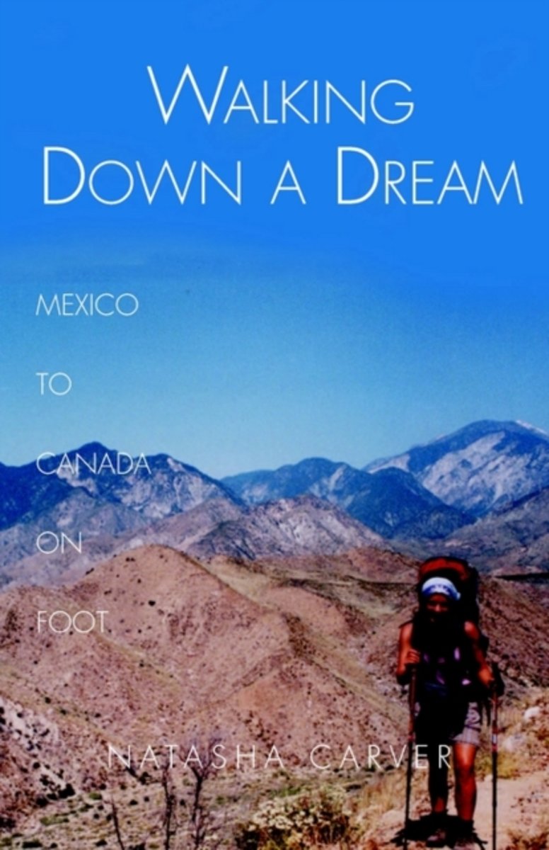
- Walking Down a Dream
- Day 88 &8211; 1,130 trail miles north,Ward Peak, Northern California"Boy that was a long way up!" exclaims the day-hiker, a mile or two from the road. "Where are you coming from?""Oh, Mexico," I say coolly, and saunter on by.Faced with the prospect of a nine-to-five job, Natasha Carver instead decided to walk from Mexico to Canada. She followed... Read more
- Also available from:
- Bol.com, Belgium
Bol.com
Belgium
Belgium
- Walking Down a Dream
- Day 88 &8211; 1,130 trail miles north,Ward Peak, Northern California"Boy that was a long way up!" exclaims the day-hiker, a mile or two from the road. "Where are you coming from?""Oh, Mexico," I say coolly, and saunter on by.Faced with the prospect of a nine-to-five job, Natasha Carver instead decided to walk from Mexico to Canada. She followed... Read more
Bol.com
Netherlands
Netherlands
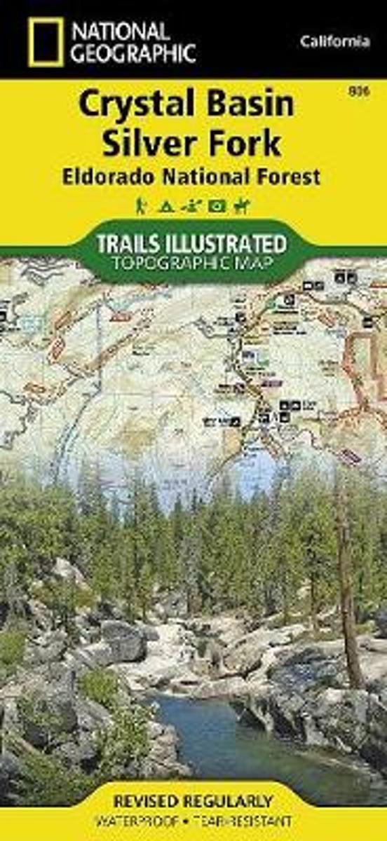
- Crystal Basin/silver Fork/eldorado National Forest
- Waterproof Tear-Resistant Topographic MapPart of our exciting new coverage for California's Central Sierra Nevada, our Crystal Basin and Silver Fork Trails Illustrated map details the high use recreation areas of Eldorado National Forest stretching from Hell Hole Reservoir and Tahoe National Forest at the North, to Salt Springs Reservoir... Read more
- Also available from:
- Bol.com, Belgium
- Stanfords, United Kingdom
- The Book Depository, United Kingdom
Bol.com
Belgium
Belgium
- Crystal Basin/silver Fork/eldorado National Forest
- Waterproof Tear-Resistant Topographic MapPart of our exciting new coverage for California's Central Sierra Nevada, our Crystal Basin and Silver Fork Trails Illustrated map details the high use recreation areas of Eldorado National Forest stretching from Hell Hole Reservoir and Tahoe National Forest at the North, to Salt Springs Reservoir... Read more

Stanfords
United Kingdom
United Kingdom
- Crystal Basin - Silver Fork - Eldorado National Forest CA
- Map No. 806, Crystal Basin / Silver Fork / Eldorado National Forest, CA, in an extensive series of GPS compatible, contoured hiking maps of USA’s national and state parks or forests and other popular recreational areas. Cartography based on the national topographic survey, with additional tourist information.The maps, with most titles now... Read more

The Book Depository
United Kingdom
United Kingdom
- Crystal Basin/silver Fork/eldorado National Forest
- Trails Illustrated Other Rec. Areas Read more
Kaarten

De Zwerver
Netherlands
Netherlands
- Wandelkaart - Topografische kaart 205 Sequoia - Kings Canyon National Parks | National Geographic
- Prachtige geplastificeerde kaart van het nationaal park. Met alle recreatieve voorzieningen als campsites, maar ook met topografische details en wandelroutes ed. Door uitgekiend kleurgebruik zeer prettig in gebruik. Scheur en watervast! Trails Illustrated maps are the most trusted and popular recreation maps available. Continually setting the... Read more
- Also available from:
- Bol.com, Netherlands
- Bol.com, Belgium
- Stanfords, United Kingdom
- The Book Depository, United Kingdom

Bol.com
Netherlands
Netherlands
- Sequoia/kings Canyon National Park
- Waterproof Tear-Resistant Topographic MapIn Sequioa and Kings Canyon National Parks you can walk among the world's largest trees, hike the alpine landscape of the Sierra Crest, and marvel at the towering granite cliffs of one of the deepest canyons in the United States. National Geographic's Trails Illustrated map of Sequoia and Kings... Read more
Bol.com
Belgium
Belgium
- Sequoia/kings Canyon National Park
- Waterproof Tear-Resistant Topographic MapIn Sequioa and Kings Canyon National Parks you can walk among the world's largest trees, hike the alpine landscape of the Sierra Crest, and marvel at the towering granite cliffs of one of the deepest canyons in the United States. National Geographic's Trails Illustrated map of Sequoia and Kings... Read more

Stanfords
United Kingdom
United Kingdom
- Sequoia - Kings Canyon National Parks CA NGS Trails Illustrated Map 205
- Map No. 205, Sequoia/Kings Canyon National Park, CA, in an extensive series of GPS compatible, contoured hiking maps of USA’s national and state parks or forests and other popular recreational areas. Cartography based on the national topographic survey, with additional tourist information.The maps, with most titles now printed on light,... Read more

The Book Depository
United Kingdom
United Kingdom
- Sequoia/kings Canyon National Park
- Trails Illustrated National Parks Read more

De Zwerver
Netherlands
Netherlands
- Wandelkaart - Topografische kaart 809 Mammoth Lakes - Mono Divide - Inyo and Sierra National Forests | National Geographic
- Prachtige geplastificeerde kaart van het bekende nationaal park. Met alle recreatieve voorzieningen als campsites, maar ook met topografische details en wandelroutes ed. Door uitgekiend kleurgebruik zeer prettig in gebruik. Scheur en watervast! Trails Illustrated Mammoth Lakes / Mono Divide is the first of five exciting new maps for the... Read more
- Also available from:
- Bol.com, Netherlands
- Bol.com, Belgium
- Stanfords, United Kingdom

Bol.com
Netherlands
Netherlands
- Mammoth Lakes/mono Divide
- Waterproof Tear-Resistant Topographic MapTrails Illustrated Mammoth Lakes / Mono Divide is the first of five exciting new maps for the California Sierra Nevadas that will combine to form seamless coverage of the high-use National Forest areas between Sequoia / Kings Canyon National Parks and Lake Tahoe. This region contains some of the... Read more
Bol.com
Belgium
Belgium
- Mammoth Lakes/mono Divide
- Waterproof Tear-Resistant Topographic MapTrails Illustrated Mammoth Lakes / Mono Divide is the first of five exciting new maps for the California Sierra Nevadas that will combine to form seamless coverage of the high-use National Forest areas between Sequoia / Kings Canyon National Parks and Lake Tahoe. This region contains some of the... Read more

Stanfords
United Kingdom
United Kingdom
- Mammoth Lakes - Mono Divide CA
- Map No. 809, Mammoth Lakes / Mono Divide, CA, in an extensive series of GPS compatible, contoured hiking maps of USA’s national and state parks or forests and other popular recreational areas. Cartography based on the national topographic survey, with additional tourist information.The maps, with most titles now printed on light, waterproof and... Read more

Bol.com
Netherlands
Netherlands
- Carson-iceberg/emigrant/mokleumne Wilderness Areas
- Waterproof Tear-Resistant Topographic MapPart of our exciting new coverage for California's Sierra Nevada, our Carson-Iceberg, Emigrant and Mokelumne Wilderness Trails Illustrated map details the high use recreation areas of Stanislaus and Humboldt-Toiyabe National Forests from Yosemite National Park north to Caples Lake and Markleeville.... Read more
- Also available from:
- Bol.com, Belgium
- Stanfords, United Kingdom
Bol.com
Belgium
Belgium
- Carson-iceberg/emigrant/mokleumne Wilderness Areas
- Waterproof Tear-Resistant Topographic MapPart of our exciting new coverage for California's Sierra Nevada, our Carson-Iceberg, Emigrant and Mokelumne Wilderness Trails Illustrated map details the high use recreation areas of Stanislaus and Humboldt-Toiyabe National Forests from Yosemite National Park north to Caples Lake and Markleeville.... Read more

Stanfords
United Kingdom
United Kingdom
- Carson-Iceberg - Emigrant and Mokleumne Wilderness Areas CA
- Map No. 807, Carson-Iceberg / Emigrant / Mokleumne Wilderness Areas, CA, in an extensive series of GPS compatible, contoured hiking maps of USA’s national and state parks or forests and other popular recreational areas. Cartography based on the national topographic survey, with additional tourist information.The maps, with most titles now... Read more

Bol.com
Netherlands
Netherlands
- Goat Rocks & Norse Peak Wilderness Area, Gifford-pinchot & Okanogan-wenatchee National Forests
- Waterproof Tear-Resistant Topographic MapGifford-Pinchot and Okanogan-Wenatchee National Forests Washington, USAOne of five new Trails Illustrated maps for the Washington Cascades region offers the most detailed and up-to-date map for the forest, carefully researched and developed in co-operation with local land managers and agencies.... Read more
- Also available from:
- Bol.com, Belgium
- Stanfords, United Kingdom
Bol.com
Belgium
Belgium
- Goat Rocks & Norse Peak Wilderness Area, Gifford-pinchot & Okanogan-wenatchee National Forests
- Waterproof Tear-Resistant Topographic MapGifford-Pinchot and Okanogan-Wenatchee National Forests Washington, USAOne of five new Trails Illustrated maps for the Washington Cascades region offers the most detailed and up-to-date map for the forest, carefully researched and developed in co-operation with local land managers and agencies.... Read more

Stanfords
United Kingdom
United Kingdom
- Goat Rocks - Norse Peak William O. Douglas Wilderness Area WA
- Map No. 823, Goat Rocks and Norse Peak Wilderness Area - Gifford-Pinchot and Okanogan-Wenatchee National Forests, WA, in an extensive series of GPS compatible, contoured hiking maps of USA’s national and state parks or forests and other popular recreational areas. Cartography based on the national topographic survey, with additional tourist... Read more

Bol.com
Netherlands
Netherlands
- Alpine Lakes Wilderness Area, Mount Baker-snoqualmie & Okanogan-wenatchee National Forests
- Waterproof Tear-Resistant Topographic MapMount Baker-Snoqualmie and Okanogan-Wenatchee National Forests Washington, USAOne of five new Trails Illustrated maps for the Washington Cascades region offering the most detailed and up-to-date map for the forest, carefully researched and developed in co-operation with local land managers and... Read more
- Also available from:
- Bol.com, Belgium
- Stanfords, United Kingdom
Bol.com
Belgium
Belgium
- Alpine Lakes Wilderness Area, Mount Baker-snoqualmie & Okanogan-wenatchee National Forests
- Waterproof Tear-Resistant Topographic MapMount Baker-Snoqualmie and Okanogan-Wenatchee National Forests Washington, USAOne of five new Trails Illustrated maps for the Washington Cascades region offering the most detailed and up-to-date map for the forest, carefully researched and developed in co-operation with local land managers and... Read more

Stanfords
United Kingdom
United Kingdom
- Alpine Lakes Wilderness - Mt Baker-Snoqualmie and Okanogan-Wenatchee National Forests WA
- Map No. 825, Alpine Lakes Wilderness Area - Mount Baker-Snoqualmie Wilderness Areas and Okanogan-Wenatchee National Forests, WA, in an extensive series of GPS compatible, contoured hiking maps of USA’s national and state parks or forests and other popular recreational areas. Cartography based on the national topographic survey, with additional... Read more

De Zwerver
Netherlands
Netherlands
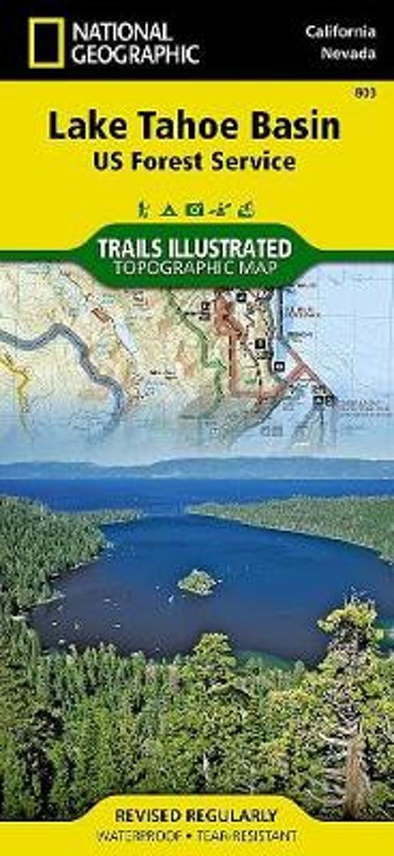
- Wandelkaart - Topografische kaart 803 Lake Tahoe Basin | National Geographic
- Prachtige geplastificeerde kaart van het bekende nationaal park. Met alle recreatieve voorzieningen als campsites, maar ook met topografische details en wandelroutes ed. Door uitgekiend kleurgebruik zeer prettig in gebruik. Scheur en watervast! This Trails Illustrated folded map offers comprehensive coverage of the Lake Tahoe Basin. Lists... Read more
- Also available from:
- Bol.com, Netherlands
- Bol.com, Belgium
- Stanfords, United Kingdom
- The Book Depository, United Kingdom
Bol.com
Netherlands
Netherlands
- Lake Tahoe Basin
- Waterproof Tear-Resistant Topographic MapThe largest alpine lake in North America, Lake Tahoe straddles the border of California and Nevada. It's unusually clear waters and surrounding Sierra Nevada mountains make it one of the most beautiful lakes in the world. National Geographic's Trails Illustrated map of Lake Tahoe Basin delivers... Read more
Bol.com
Belgium
Belgium
- Lake Tahoe Basin
- Waterproof Tear-Resistant Topographic MapThe largest alpine lake in North America, Lake Tahoe straddles the border of California and Nevada. It's unusually clear waters and surrounding Sierra Nevada mountains make it one of the most beautiful lakes in the world. National Geographic's Trails Illustrated map of Lake Tahoe Basin delivers... Read more

Stanfords
United Kingdom
United Kingdom
- Lake Tahoe Basin CA NGS Trails Illustrated Map 803
- Map No. 803, Lake Tahoe Basin, CA, in an extensive series of GPS compatible, contoured hiking maps of USA’s national and state parks or forests and other popular recreational areas. Cartography based on the national topographic survey, with additional tourist information.The maps, with most titles now printed on light, waterproof and... Read more


Bol.com
Netherlands
Netherlands
- Mount Whitney
- Waterproof Tear-Resistant Topographic MapMount Whitney is universally famous as the highest mountain in the United State outside of Alaska, as well as the highest point in California. National Geographic's Trails Illustrated map of Mount Whitney is a two-sided, waterproof map designed to meet the needs of Whitney visitors with unmatched... Read more
- Also available from:
- Bol.com, Belgium
- Stanfords, United Kingdom
Bol.com
Belgium
Belgium
- Mount Whitney
- Waterproof Tear-Resistant Topographic MapMount Whitney is universally famous as the highest mountain in the United State outside of Alaska, as well as the highest point in California. National Geographic's Trails Illustrated map of Mount Whitney is a two-sided, waterproof map designed to meet the needs of Whitney visitors with unmatched... Read more

Stanfords
United Kingdom
United Kingdom
- Mount Whitney CA NGS Trails Illustrated Map 322
- Map No. 322, Mount Whitney in California at 1:40,000, in an extensive series of GPS compatible, contoured hiking maps of USA’s national and state parks or forests and other popular recreational areas. Cartography is based on the national topographic survey, with additional tourist information.The maps, with most titles now printed on light,... Read more