
San Isabel National Forest
Beschrijving
Paden in deze regio
Links
Feiten
Verslagen
Gidsen en kaarten
Overnachting
Organisaties
Reisorganisaties
GPS
Anders
Boeken
Bol.com
Netherlands
Netherlands
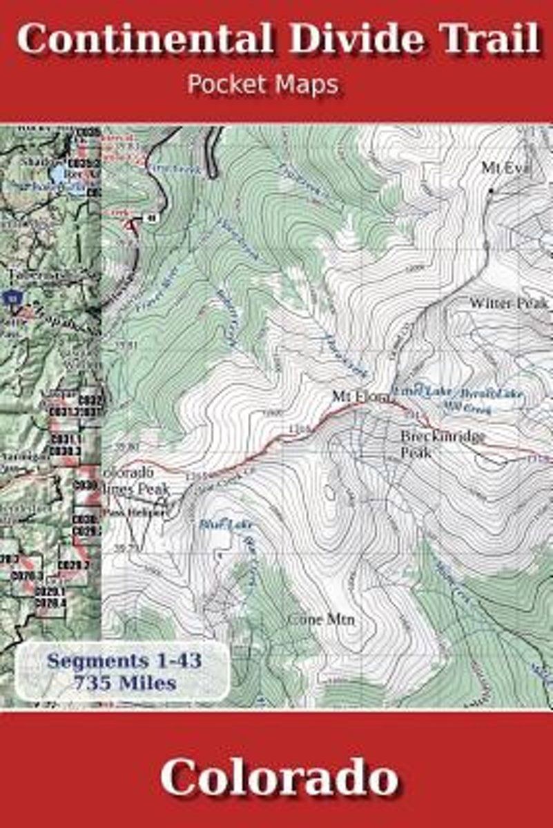
- Continental Divide Trail Pocket Maps - Colorado
- Colorado1st Edition - December 15, 2014The Continental Divide Trail Pocket Map Series is a complete and concise set of topographic maps created withdigitized base maps covering every step of the 3,016 mile trail from Mexico to Canada.The most current data available! This reflects the recently located, official CDTThe land cover, hydrology and... Read more
- Also available from:
- Bol.com, Belgium
Bol.com
Belgium
Belgium
- Continental Divide Trail Pocket Maps - Colorado
- Colorado1st Edition - December 15, 2014The Continental Divide Trail Pocket Map Series is a complete and concise set of topographic maps created withdigitized base maps covering every step of the 3,016 mile trail from Mexico to Canada.The most current data available! This reflects the recently located, official CDTThe land cover, hydrology and... Read more
Bol.com
Netherlands
Netherlands
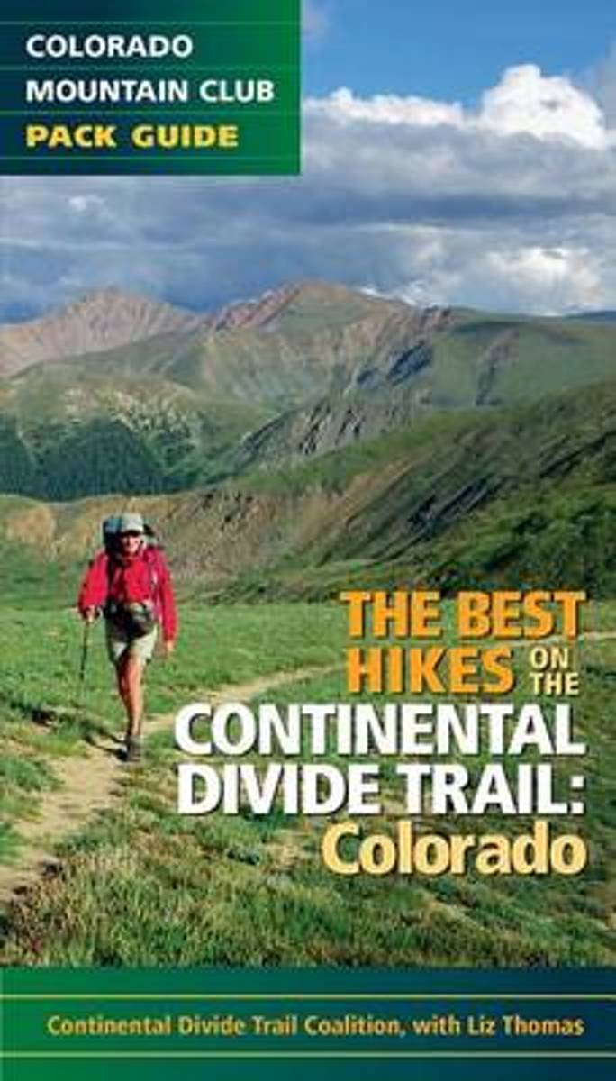
- The Best Hikes on the Continental Divide Trail
- Features 20 of the best hikes along the iconic Continental Divide Trail. Hike some of the more popular and accessible sections of the trail near Denver and Summit County, then venture out on an overnight trek across some of the most remote areas of the state. The Continental Divide Trail runs approximately 800 miles through Colorado, taking... Read more
- Also available from:
- Bol.com, Belgium
Bol.com
Belgium
Belgium
- The Best Hikes on the Continental Divide Trail
- Features 20 of the best hikes along the iconic Continental Divide Trail. Hike some of the more popular and accessible sections of the trail near Denver and Summit County, then venture out on an overnight trek across some of the most remote areas of the state. The Continental Divide Trail runs approximately 800 miles through Colorado, taking... Read more

Bol.com
Netherlands
Netherlands
- Along Colorado's Continental Divide Trail
- Nature photographer John Fielder and writer M. John Fayhee combine their extraordinary talents in this stunning new coffee table book that beautifully showcases the wonders of Colorado's Continental Divide. A memorable mountain journey that readers will want to relive again and again. 175 color photos. Read more
- Also available from:
- Bol.com, Belgium
Bol.com
Belgium
Belgium
- Along Colorado's Continental Divide Trail
- Nature photographer John Fielder and writer M. John Fayhee combine their extraordinary talents in this stunning new coffee table book that beautifully showcases the wonders of Colorado's Continental Divide. A memorable mountain journey that readers will want to relive again and again. 175 color photos. Read more
Bol.com
Netherlands
Netherlands
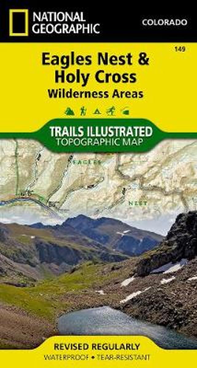
- Holy Cross/eagles Nest Wilderness
- Waterproof Tear-Resistant Topographic MapNational Geographic's Trails Illustrated map of Holy Cross and Eagles Nest Wilderness is a two-sided, waterproof map designed to meet the needs of outdoor enthusiasts with unmatched durability and detail. This map was created in conjunction with local land management agencies and is loaded with... Read more
- Also available from:
- Bol.com, Belgium
- Stanfords, United Kingdom
Bol.com
Belgium
Belgium
- Holy Cross/eagles Nest Wilderness
- Waterproof Tear-Resistant Topographic MapNational Geographic's Trails Illustrated map of Holy Cross and Eagles Nest Wilderness is a two-sided, waterproof map designed to meet the needs of outdoor enthusiasts with unmatched durability and detail. This map was created in conjunction with local land management agencies and is loaded with... Read more

Stanfords
United Kingdom
United Kingdom
- Eagles Nest and Holy Cross Wilderness Areas CO
- Map No. 149, Holy Cross - Eagles Nest Wilderness, CO, in an extensive series of GPS compatible, contoured hiking maps of USA’s national and state parks or forests and other popular recreational areas. Cartography based on the national topographic survey, with additional tourist information.The maps, with most titles now printed on light,... Read more

Bol.com
Netherlands
Netherlands
- Continental Divide Trail Pocket Maps - Wyoming
- Wyoming1st Edition - December 15, 2014The Continental Divide Trail Pocket Map Series is a complete and concise set of topographic maps created withdigitized base maps covering every step of the 3,016 mile trail from Mexico to Canada.The most current data available! This reflects the recently located, official CDTThe land cover, hydrology and... Read more
- Also available from:
- Bol.com, Belgium
Bol.com
Belgium
Belgium
- Continental Divide Trail Pocket Maps - Wyoming
- Wyoming1st Edition - December 15, 2014The Continental Divide Trail Pocket Map Series is a complete and concise set of topographic maps created withdigitized base maps covering every step of the 3,016 mile trail from Mexico to Canada.The most current data available! This reflects the recently located, official CDTThe land cover, hydrology and... Read more
Bol.com
Netherlands
Netherlands
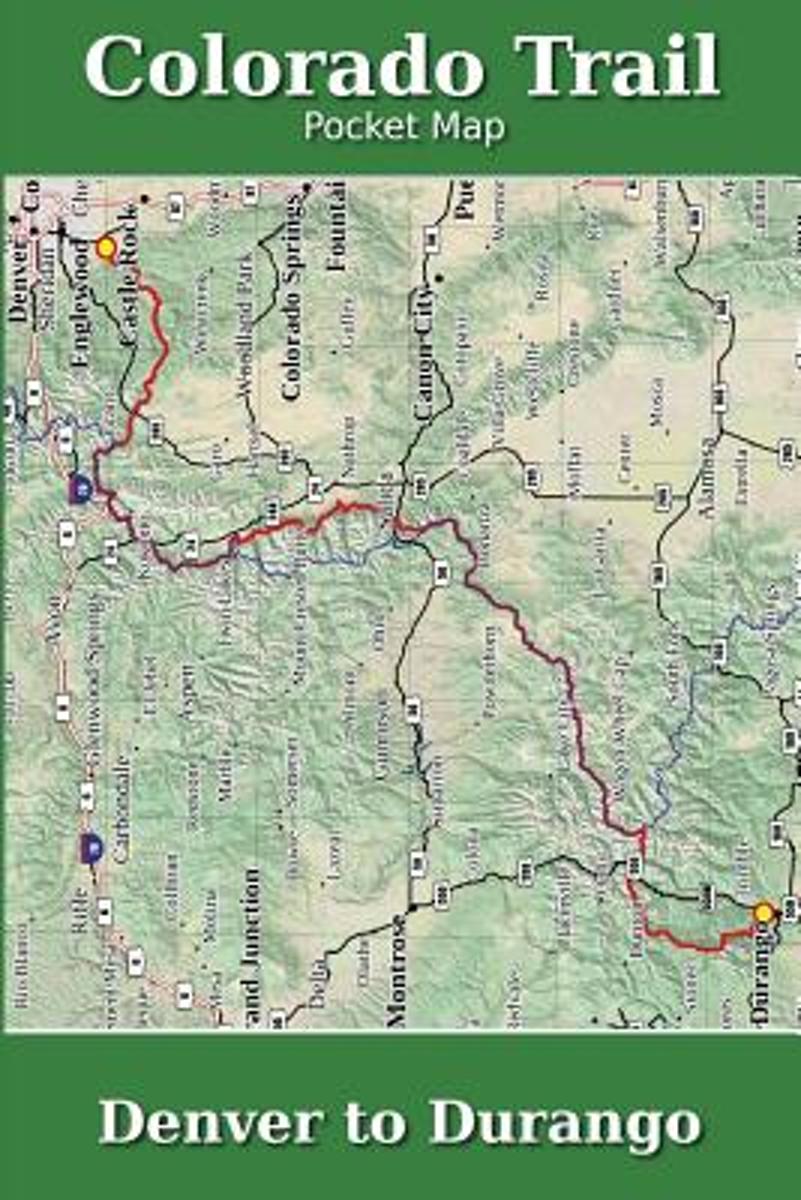
- Colorado Trail Pocket Map
- The Colorado Trail Pocket Map is a complete and concise set of topographic maps created with digitized base maps covering every step of the 482 mile trail from Denver, CO to Durango, CO.The land cover, hydrology and contour data used to create these maps has been collected within the last 5 years, presented in a completely uniform manner across... Read more
- Also available from:
- Bol.com, Belgium
Bol.com
Belgium
Belgium
- Colorado Trail Pocket Map
- The Colorado Trail Pocket Map is a complete and concise set of topographic maps created with digitized base maps covering every step of the 482 mile trail from Denver, CO to Durango, CO.The land cover, hydrology and contour data used to create these maps has been collected within the last 5 years, presented in a completely uniform manner across... Read more
- Also available from:
- Bol.com, Belgium

Bol.com
Netherlands
Netherlands
- Gravel Cycling
- Head out for adventure on the unpaved back roads of America with Nick Legans complete guide to gravel grinders and bikepacking!Gravel cycling is a glorious return to the purest roots of two-wheeled adventure. From farm roads and miners paths to the high passes of the Rockies and the Alps, gravel cycling and bikepacking will set you free to... Read more
- Also available from:
- Bol.com, Belgium
Bol.com
Belgium
Belgium
- Gravel Cycling
- Head out for adventure on the unpaved back roads of America with Nick Legans complete guide to gravel grinders and bikepacking!Gravel cycling is a glorious return to the purest roots of two-wheeled adventure. From farm roads and miners paths to the high passes of the Rockies and the Alps, gravel cycling and bikepacking will set you free to... Read more
Bol.com
Netherlands
Netherlands
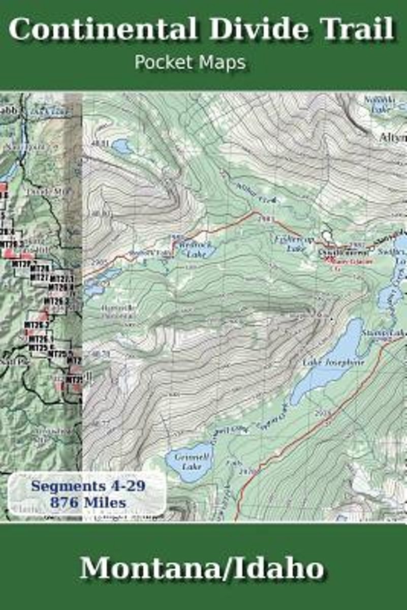
- Continental Divide Trail Pocket Maps - Montana/Idaho
- Montana & Idaho2nd Edition - November 5, 2017 - Major Updates for 2018The Continental Divide Trail Pocket Map Series is a current, complete and concise set of topographic maps created with digitized base maps covering every step of the 3,062 mile trail from Mexico to Canada. These are not 40 year old scanned USGS topographic maps.Features:+... Read more
- Also available from:
- Bol.com, Belgium
Bol.com
Belgium
Belgium
- Continental Divide Trail Pocket Maps - Montana/Idaho
- Montana & Idaho2nd Edition - November 5, 2017 - Major Updates for 2018The Continental Divide Trail Pocket Map Series is a current, complete and concise set of topographic maps created with digitized base maps covering every step of the 3,062 mile trail from Mexico to Canada. These are not 40 year old scanned USGS topographic maps.Features:+... Read more
- Also available from:
- Bol.com, Belgium

Bol.com
Netherlands
Netherlands
- Walking Distance
- Long-distance walking is good for you and good for the earth... But most of all, walking is a joyful celebration of life and the diverse, beautiful, and curious world in which we live. -from the Introduction Walking is simple, but it can also be profound. In an increasingly complex and frantic world, walking can simplify our lives. It... Read more
- Also available from:
- Bol.com, Belgium
Bol.com
Belgium
Belgium
- Walking Distance
- Long-distance walking is good for you and good for the earth... But most of all, walking is a joyful celebration of life and the diverse, beautiful, and curious world in which we live. -from the Introduction Walking is simple, but it can also be profound. In an increasingly complex and frantic world, walking can simplify our lives. It... Read more
Bol.com
Netherlands
Netherlands
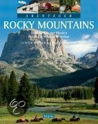
- Abenteuer Rocky Mountains
- Die wunderbar wilde Bergwelt der Rocky Mountains ist einer der wenigen Orte dieser Welt, an dem man noch wirkliche Abenteuer erleben kann. Günter Wamser und Sonja Endlweber sind mit vier Pferden entlang des 5000 Kilometer langen Continental Divide Trail von der mexikanischen zur kanadischen Grenze gereist, von den Wüsten New Mexicos durch die... Read more
- Also available from:
- Bol.com, Belgium
Bol.com
Belgium
Belgium
- Abenteuer Rocky Mountains
- Die wunderbar wilde Bergwelt der Rocky Mountains ist einer der wenigen Orte dieser Welt, an dem man noch wirkliche Abenteuer erleben kann. Günter Wamser und Sonja Endlweber sind mit vier Pferden entlang des 5000 Kilometer langen Continental Divide Trail von der mexikanischen zur kanadischen Grenze gereist, von den Wüsten New Mexicos durch die... Read more
Bol.com
Netherlands
Netherlands
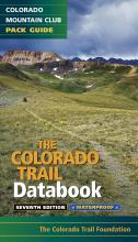
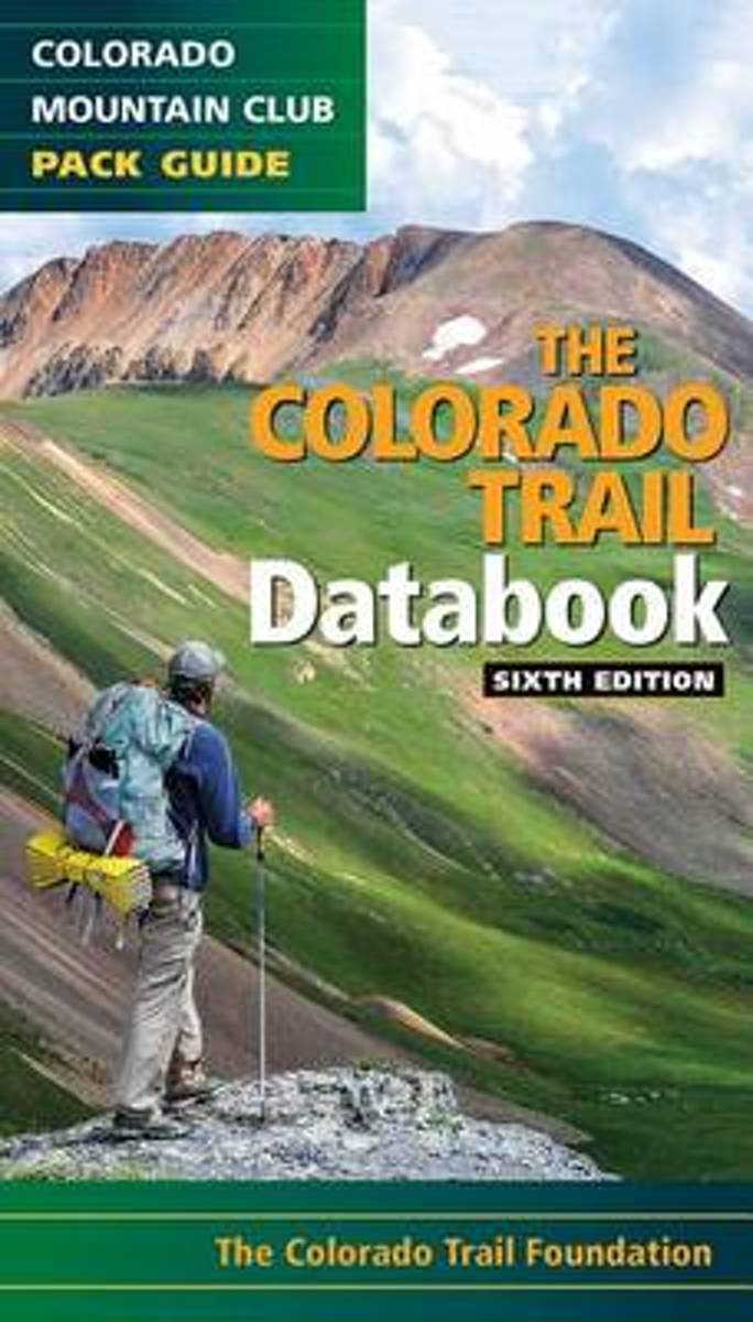
- Colorado Trail Databook, 6th Edition
- Here's the data that every Colorado Trail day hiker or thru-hiker will want with them on the route: trailheads, road crossings, trail intersections, stream crossings, water sources, campsite locations, viewpoints, elevation, and resupply towns. This sixth edition features up to date information on the new trail alignment of the Collegiate West... Read more
- Also available from:
- Bol.com, Belgium
Bol.com
Belgium
Belgium
- Colorado Trail Databook, 6th Edition
- Here's the data that every Colorado Trail day hiker or thru-hiker will want with them on the route: trailheads, road crossings, trail intersections, stream crossings, water sources, campsite locations, viewpoints, elevation, and resupply towns. This sixth edition features up to date information on the new trail alignment of the Collegiate West... Read more
Bol.com
Netherlands
Netherlands
- Continental Divide Trail [Laminated]
- National Geographic's map of the Continental Divide Trail is ideal for fans and hikers of this magnificent National Scenic Trail. It makes a great planning tool or as reference to track progress on the 3,100 plus mile length. This beautiful map shows the entire length of the trail from Mexico to Canada through New Mexico, Colorado, Wyoming,... Read more
- Also available from:
- Bol.com, Belgium
Bol.com
Belgium
Belgium
- Continental Divide Trail [Laminated]
- National Geographic's map of the Continental Divide Trail is ideal for fans and hikers of this magnificent National Scenic Trail. It makes a great planning tool or as reference to track progress on the 3,100 plus mile length. This beautiful map shows the entire length of the trail from Mexico to Canada through New Mexico, Colorado, Wyoming,... Read more
Bol.com
Netherlands
Netherlands
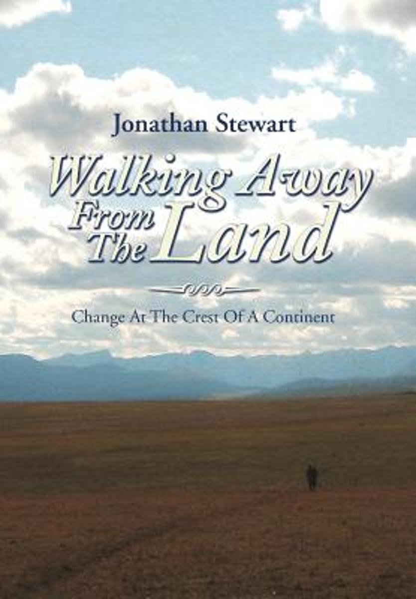
- Walking Away from the Land
- Walking Away from the Land focuses on the rapid cultural and climatic changes occurring at the crest of the North American continent. They are challenging the survival of our forests, grasslands, native wildlife, and our very civilization. This book details a three-summer Odyssey hiking the length of the Continental Divide Trail from the... Read more
- Also available from:
- Bol.com, Belgium
Bol.com
Belgium
Belgium
- Walking Away from the Land
- Walking Away from the Land focuses on the rapid cultural and climatic changes occurring at the crest of the North American continent. They are challenging the survival of our forests, grasslands, native wildlife, and our very civilization. This book details a three-summer Odyssey hiking the length of the Continental Divide Trail from the... Read more
Kaarten
De Zwerver
Netherlands
2024
Netherlands
2024
De Zwerver
Netherlands
2024
Netherlands
2024
De Zwerver
Netherlands
2024
Netherlands
2024
De Zwerver
Netherlands
2024
Netherlands
2024
De Zwerver
Netherlands
2024
Netherlands
2024
De Zwerver
Netherlands
2024
Netherlands
2024
De Zwerver
Netherlands
2024
Netherlands
2024

De Zwerver
Netherlands
2024
Netherlands
2024
De Zwerver
Netherlands
2023
Netherlands
2023

De Zwerver
Netherlands
Netherlands
- Wandelkaart - Topografische kaart 314 Many Glacier - Glacier and Waterton Lakes National Parks | National Geographic
- Prachtige geplastificeerde kaart van het bekende nationaal park. Met alle recreatieve voorzieningen als campsites, maar ook met topografische details en wandelroutes ed. Door uitgekiend kleurgebruik zeer prettig in gebruik. Scheur en watervast! Located just north of Kalispell in Montana's northwest corner, Glacier National contains an... Read more
- Also available from:
- Bol.com, Netherlands
- Bol.com, Belgium
- Stanfords, United Kingdom

Bol.com
Netherlands
Netherlands
- Many Glacier, Glacier National Park
- Waterproof Tear-Resistant Topographic MapLocated just north of Kalispell in Montana's northwest corner, Glacier National contains an abundance of recreational opportunities for outdoor enthusiasts of all interests.This detailed topographic recreation map contains carefully researched trails, campsites, forest service roads, and... Read more
Bol.com
Belgium
Belgium
- Many Glacier, Glacier National Park
- Waterproof Tear-Resistant Topographic MapLocated just north of Kalispell in Montana's northwest corner, Glacier National contains an abundance of recreational opportunities for outdoor enthusiasts of all interests.This detailed topographic recreation map contains carefully researched trails, campsites, forest service roads, and... Read more

Stanfords
United Kingdom
United Kingdom
- Many Glacier - Glacier and Waterton Lakes National Parks MT
- Map No. 313, Glacier National Park: North Fork, MT, in an extensive series of GPS compatible, contoured hiking maps of USA’s national and state parks or forests and other popular recreational areas. Cartography based on the national topographic survey, with additional tourist information.The maps, with most titles now printed on light,... Read more

De Zwerver
Netherlands
Netherlands
- Wandelkaart - Topografische kaart 141 Telluride, Silverton, Ouray, Lake City | National Geographic
- Prachtige geplastificeerde kaart van het bekende nationaal park. Met alle recreatieve voorzieningen als campsites, maar ook met topografische details en wandelroutes ed. Door uitgekiend kleurgebruik zeer prettig in gebruik. Scheur en watervast! Beautiful waterproof and tear-resistant topographical hiking map of a well-loved National Park, with... Read more
- Also available from:
- Bol.com, Netherlands
- Bol.com, Belgium
- Stanfords, United Kingdom
- The Book Depository, United Kingdom

Bol.com
Netherlands
Netherlands
- Telluride/silverton/ouray/lake City
- Waterproof Tear-Resistant Topographic MapExpertly researched and created in partnership with local land management agencies, National Geographic's Trails Illustrated map of Telluride, Silverton, Ouray, and Lake City provides an unparalleled tool for exploring this breathtaking region of Colorado. Whatever the season, you'll find this map... Read more
Bol.com
Belgium
Belgium
- Telluride/silverton/ouray/lake City
- Waterproof Tear-Resistant Topographic MapExpertly researched and created in partnership with local land management agencies, National Geographic's Trails Illustrated map of Telluride, Silverton, Ouray, and Lake City provides an unparalleled tool for exploring this breathtaking region of Colorado. Whatever the season, you'll find this map... Read more

Stanfords
United Kingdom
United Kingdom
- Telluride - Silverton - Ouray - Lake City CO
- Map No. 141, Telluride - Silverton - Ouray - Lake City, CO, in an extensive series of GPS compatible, contoured hiking maps of USA’s national and state parks or forests and other popular recreational areas. Cartography based on the national topographic survey, with additional tourist information.The maps, with most titles now printed on light,... Read more


De Zwerver
Netherlands
Netherlands
- Wandelkaart - Topografische kaart 215 Glacier - Waterton Lakes National Park | National Geographic
- Prachtige geplastificeerde kaart van het bekende nationaal park. Met alle recreatieve voorzieningen als campsites, maar ook met topografische details en wandelroutes ed. Door uitgekiend kleurgebruik zeer prettig in gebruik. Scheur en watervast! Waterton Lakes National Park, Canada includes Waterton Park, Upper and Middle Waterton Lakes, The... Read more
- Also available from:
- Bol.com, Netherlands
- Bol.com, Belgium
- Stanfords, United Kingdom

Bol.com
Netherlands
Netherlands
- Glacier/waterton Lakes National Parks
- Waterproof Tear-Resistant Topographic MapNational Geographic's Trails Illustrated map of Glacier and Waterton Lakes National Parks offers unparalleled detail for outdoor enthusiasts exploring the pristine landscape of forests, mountains, lakes, and meadows within these two spectacular parks. Created in partnership with local land... Read more
Bol.com
Belgium
Belgium
- Glacier/waterton Lakes National Parks
- Waterproof Tear-Resistant Topographic MapNational Geographic's Trails Illustrated map of Glacier and Waterton Lakes National Parks offers unparalleled detail for outdoor enthusiasts exploring the pristine landscape of forests, mountains, lakes, and meadows within these two spectacular parks. Created in partnership with local land... Read more

Stanfords
United Kingdom
United Kingdom
- Glacier - Waterton Lakes National Park MT
- Map No. 215, Glacier/Waterton Lakes National Park, MT, in an extensive series of GPS compatible, contoured hiking maps of USA’s national and state parks or forests and other popular recreational areas. Cartography based on the national topographic survey, with additional tourist information.The maps, with most titles now printed on light,... Read more
Bol.com
Netherlands
Netherlands
- Tarryall Mountains
- Coverage includes Pike National Forest, Lost Creek Wilderness, Pine, Bailey and Jefferson. Also includes the Kenosha, Bison, Stoney and Hankins passes, Tarryall Reservoir, the North Fork of South Platte and Wellington Lake, and a segment of the Colorado Trail. Includes UTM grids for use with your GPS unit. Read more
- Also available from:
- Bol.com, Belgium
- Stanfords, United Kingdom
- The Book Depository, United Kingdom
Bol.com
Belgium
Belgium
- Tarryall Mountains
- Coverage includes Pike National Forest, Lost Creek Wilderness, Pine, Bailey and Jefferson. Also includes the Kenosha, Bison, Stoney and Hankins passes, Tarryall Reservoir, the North Fork of South Platte and Wellington Lake, and a segment of the Colorado Trail. Includes UTM grids for use with your GPS unit. Read more

Stanfords
United Kingdom
United Kingdom
- Tarryall Mountains CO NGS Trails Illustrated Map 105
- Map No. 105, Tarryall Mountains in Colorado, at 1:40,680 in an extensive series of GPS compatible, contoured hiking maps of USA’s national and state parks or forests and other popular recreational areas. Cartography based on the national topographic survey, with additional tourist information.The maps, with most titles now printed on light,... Read more


Stanfords
United Kingdom
United Kingdom
- Pla de la Llitera - Riu de Farfanya
- Topographic survey of Catalonia at 1:25,000 from the Institut Cartogràfic i Geològic de Catalunya, an attractive alternative to Spain’s national topographic survey at this scale, offering a much larger area per sheet with extensive tourist information and vivid presentation of vegetation and land use.These large, detailed maps have contours at... Read more

Stanfords
United Kingdom
United Kingdom
- Gandesa - Riu d`Algars - Batea - Horta de Sant Joan
- Topographic survey of Catalonia at 1:25,000 from the Institut Cartogràfic i Geològic de Catalunya, an attractive alternative to Spain’s national topographic survey at this scale, offering a much larger area per sheet with extensive tourist information and vivid presentation of vegetation and land use.These large, detailed maps have contours at... Read more