
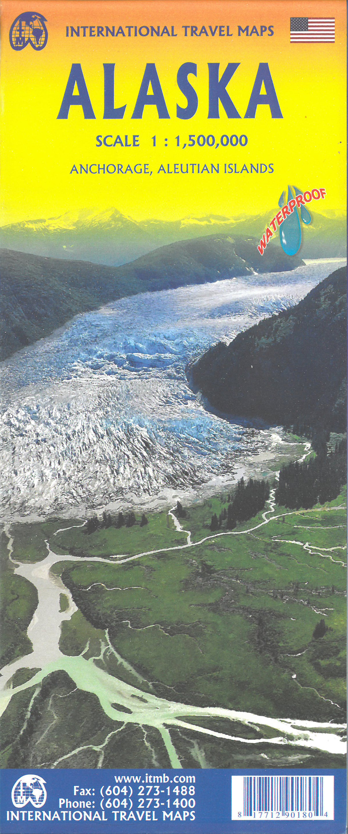
Alaska
Beschrijving
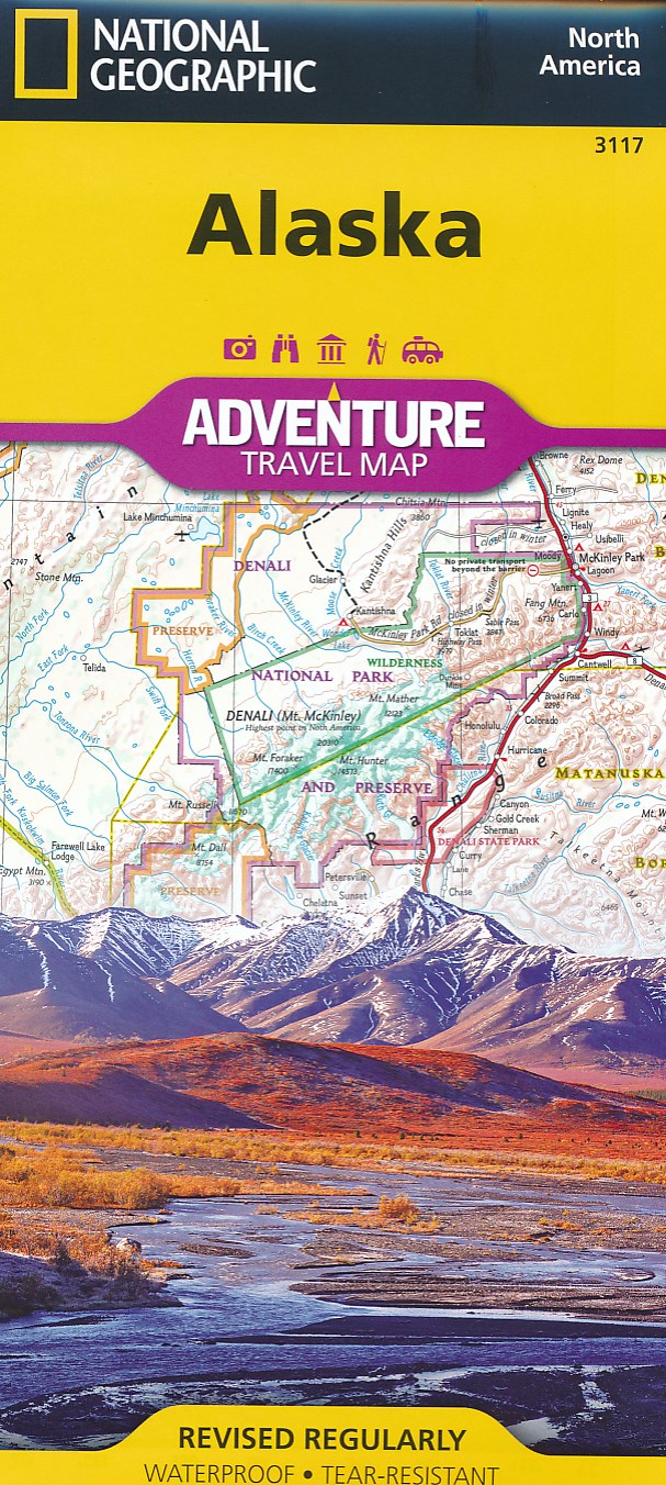
Alaska is a state in the far northwest. Very remote wilderness, often only reachable by plane. A large part lies above the Arctic Circle. Abundant wildlife.
Denali is the best known national park in Alaska, with America's highest mountain, Mount McKinley, 20,300 feet. Good place for backcountry hiking (no trails).
Backcountry hiking is also the way to explore the other great parks, like Glacier Bay and Gates of the Arctic. The Tongass National Forest and Chugach Sate Park offer hiking trails.
Kaart

Paden in deze landsdeel
Links
Feiten
Verslagen
Gidsen en kaarten
Overnachting
Organisaties
Reisorganisaties
GPS
Anders
Boeken
De Zwerver
Netherlands
Netherlands
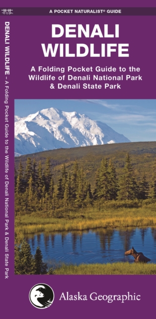
- Natuurgids Denali Wildlife Alaska | Waterford Press
- Denali Wildlife is the perfect pocket-sized, folding guide for the travelling nature enthusiast. This beautifully illustrated guide highlights over 100 familiar species of birds, mammals, and a lone amphibian (the only herp found there) and includes a regional map of the area. Laminated for durability, this handy guide is a great source of... Read more
De Zwerver
Netherlands
Netherlands
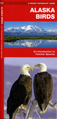
- Vogelgids - Natuurgids Alaska Birds | Waterford Press
- A great source of portable information and ideal for field use by novices and experts alike, this invaluable guide that is laminated for durability presents more than 140 bird species found in Alaska. It also includes a map featuring prominent, state-wide birding hotspots. Read more
De Zwerver
Netherlands
2010
Netherlands
2010
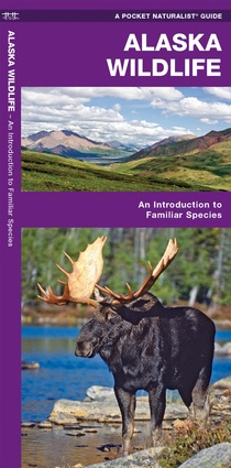
- Vogelgids - Natuurgids Alaska Wildlife An introduction to familiar species | Waterford Press
- Een bijzonder handige uitklapkaart met alle veelvoorkomende dieren van Alaska. Duidelijke illustraties, goede korte omschrijving van soort en leefgebied, geplastificeerd. Alaska Wildlife is the perfect pocket-sized, folding guide for the nature enthusiast. This beautifully illustrated guide highlights over 140 familiar species of birds,... Read more
De Zwerver
Netherlands
2021
Netherlands
2021
De Zwerver
Netherlands
2018
Netherlands
2018
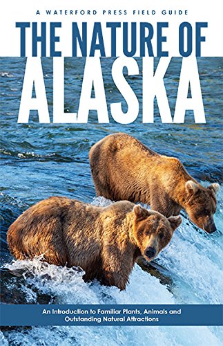
- Vogelgids - Natuurgids The Nature of Alaska | Waterford Press
- Compact yet comprehensive, The Nature of Alaska takes novice naturalists through an easy-to-read basic explanation of species, field identification tips, the evolution of animals and plants, Alaska's geography, ecosystems and climate, before delving into more detailed species identification. Exhaustively researched, beautifully illustrated... Read more
De Zwerver
Netherlands
2022
Netherlands
2022
- Reisgids Eyewitness Travel Alaska | Dorling Kindersley
- Epic landscapes, abundant wildlife and unforgettable adventures - welcome to Alaska.Whether you want to be awed by its jaw-dropping scenery, spend time in the national parks, or learn about the rich historical roots of native culture, your DK Eyewitness travel guide makes sure you experience all that Alaska has to offer.Alaska is an outdoor... Read more
- Also available from:
- Stanfords, United Kingdom

Stanfords
United Kingdom
2022
United Kingdom
2022
- DK Eyewitness Alaska
- Epic landscapes, abundant wildlife and unforgettable adventures - welcome to Alaska.Whether you want to be awed by its jaw-dropping scenery, spend time in the national parks, or learn about the rich historical roots of native culture, your DK Eyewitness travel guide makes sure you experience all that Alaska has to offer.Alaska is an outdoor... Read more
Bol.com
Netherlands
Netherlands
- Get Lost!
- The Owyhee Desert is a vast expanse covering much of Southwest Idaho, Eastern Oregon, and Northern Nevada. It represents a wild frontier for dual sport riding and touring. The area is famous for its rough but spectacular terrain, and its vivid history. Now, finally, a guidebook to what many have referred to as the most remote piece of real... Read more
- Also available from:
- Bol.com, Belgium
Bol.com
Belgium
Belgium
- Get Lost!
- The Owyhee Desert is a vast expanse covering much of Southwest Idaho, Eastern Oregon, and Northern Nevada. It represents a wild frontier for dual sport riding and touring. The area is famous for its rough but spectacular terrain, and its vivid history. Now, finally, a guidebook to what many have referred to as the most remote piece of real... Read more
Bol.com
Netherlands
Netherlands
- Big Basin/santa Cruz Parks And Preserves
- Waterproof Tear-Resistant Topographic MapNational Geographic's Trails Illustrated map of Big Basin/Santa Cruz Parks and Preserves is a two-sided, waterproof map designed to meet the needs of outdoor enthusiasts with unmatched durability and detail. This map was created in conjunction with local land management agencies and is loaded with... Read more
- Also available from:
- Bol.com, Belgium
- Stanfords, United Kingdom
- The Book Depository, United Kingdom
Bol.com
Belgium
Belgium
- Big Basin/santa Cruz Parks And Preserves
- Waterproof Tear-Resistant Topographic MapNational Geographic's Trails Illustrated map of Big Basin/Santa Cruz Parks and Preserves is a two-sided, waterproof map designed to meet the needs of outdoor enthusiasts with unmatched durability and detail. This map was created in conjunction with local land management agencies and is loaded with... Read more

Stanfords
United Kingdom
United Kingdom
- Big Basin - Santa Cruz Parks and Preserves CA
- Map No. 816, Big Basin/Santa Cruz Parks and Preserves in California in an extensive series of GPS compatible, contoured hiking maps of USA’s national and state parks or forests and other popular recreational areas. Cartography based on the national topographic survey, with additional tourist information.The maps, with most titles now printed on... Read more

The Book Depository
United Kingdom
United Kingdom
- Big Basin/santa Cruz Parks And Preserves
- Trails Illustrated Other Rec. Areas Read more
Bol.com
Netherlands
Netherlands
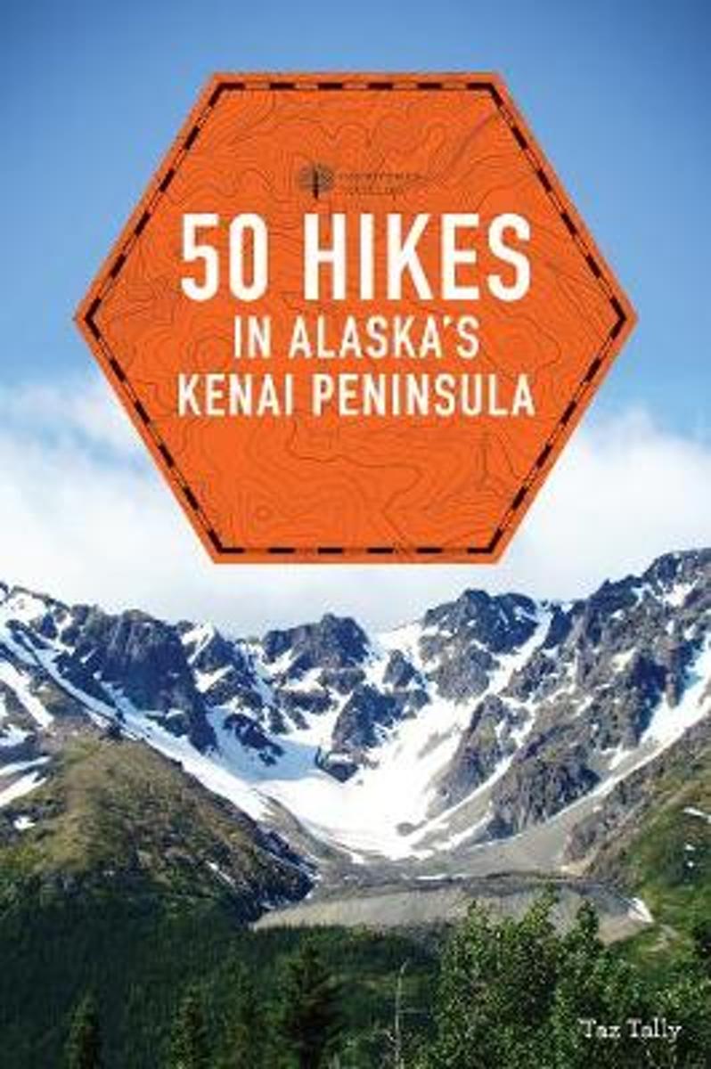
- 50 Hikes in Alaska's Kenai Peninsula
- Alaska is vast, wild, and stunningly beautiful-and notoriously difficult to get around. The Kenai Peninsula, with its proximity to Anchorage, is the gateway to the great outdoors of Alaska for vast numbers of visitors and locals alike. The Kenai offers coastal, forest, subalpine, tundra, and even glacial hiking opportunities accessible to most.... Read more
- Also available from:
- Bol.com, Belgium
Bol.com
Belgium
Belgium
- 50 Hikes in Alaska's Kenai Peninsula
- Alaska is vast, wild, and stunningly beautiful-and notoriously difficult to get around. The Kenai Peninsula, with its proximity to Anchorage, is the gateway to the great outdoors of Alaska for vast numbers of visitors and locals alike. The Kenai offers coastal, forest, subalpine, tundra, and even glacial hiking opportunities accessible to most.... Read more

Bol.com
Netherlands
Netherlands
- Ty Cunningham's Kempo Codex
- Cmdr. Ty Cunninghams fascinating Kempo-Jitsu 10th Degree Black Belt Promotion Thesis about his Law of the Fist known as the Ancient Way of the Earth, which exposes for the first time many of the tenets contained in his philosophy of White Eagle Kempo Jujitsu. He learned and developed both his philosophy and Law of the Fist; first, while... Read more
- Also available from:
- Bol.com, Belgium
Bol.com
Belgium
Belgium
- Ty Cunningham's Kempo Codex
- Cmdr. Ty Cunninghams fascinating Kempo-Jitsu 10th Degree Black Belt Promotion Thesis about his Law of the Fist known as the Ancient Way of the Earth, which exposes for the first time many of the tenets contained in his philosophy of White Eagle Kempo Jujitsu. He learned and developed both his philosophy and Law of the Fist; first, while... Read more
Bol.com
Netherlands
Netherlands
- Bandelier National Monument
- Waterproof Tear-Resistant Topographic MapCompletely revised and expanded our Colorado National Monument Trails Illustrated map details the high use recreation areas throughout Colorado's Grand Valley surrounding the towns of: Grand Junction, Fruita, Palisade, and Loma. This popular region features some of the State's most acclaimed... Read more
- Also available from:
- Bol.com, Belgium
- Stanfords, United Kingdom
- The Book Depository, United Kingdom
Bol.com
Belgium
Belgium
- Bandelier National Monument
- Waterproof Tear-Resistant Topographic MapCompletely revised and expanded our Colorado National Monument Trails Illustrated map details the high use recreation areas throughout Colorado's Grand Valley surrounding the towns of: Grand Junction, Fruita, Palisade, and Loma. This popular region features some of the State's most acclaimed... Read more

Stanfords
United Kingdom
United Kingdom
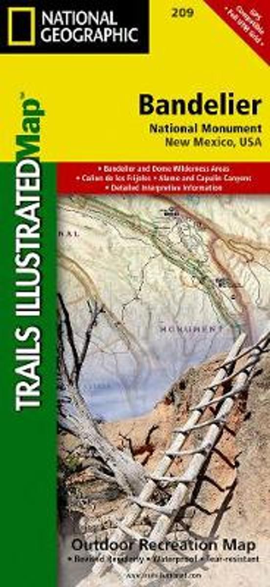
- Bandelier National Monument NM
- Map No. 209, Bandelier National Monument in New Mexico, at 1:35,000 in an extensive series of GPS compatible, contoured hiking maps of USA’s national and state parks or forests and other popular recreational areas. Cartography based on the national topographic survey, with additional tourist information.The maps, with most titles now printed on... Read more

The Book Depository
United Kingdom
United Kingdom
- Bandelier National Monument
- Trails Illustrated National Parks Read more
Kaarten
De Zwerver
Netherlands
Netherlands
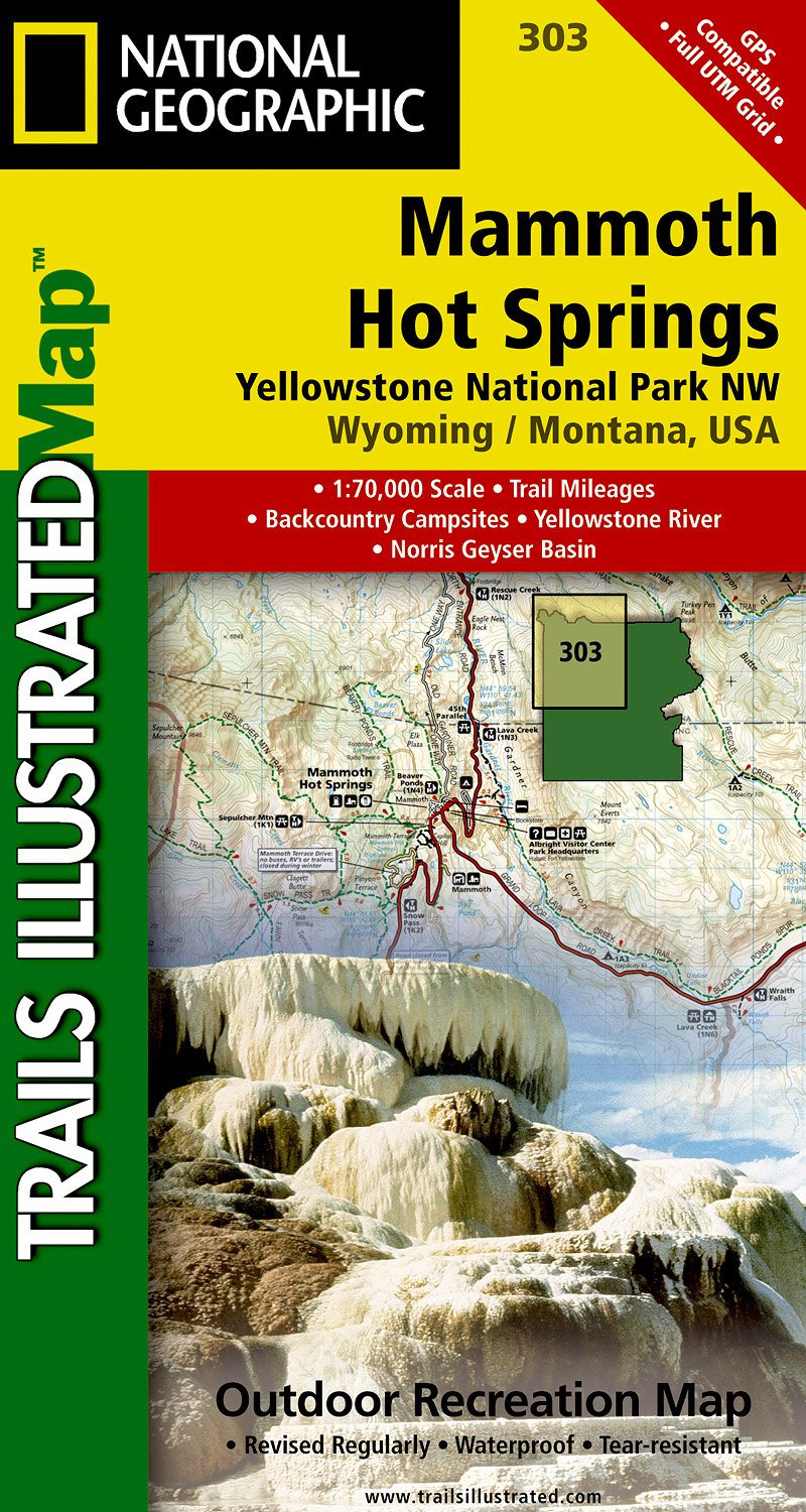
- Wandelkaart - Topografische kaart 303 Mammoth Hot Springs Yellowstone National Park | National Geographic
- Prachtige geplastificeerde kaart van het nationaal park. Met alle recreatieve voorzieningen als campsites, maar ook met topografische details en wandelroutes ed. Door uitgekiend kleurgebruik zeer prettig in gebruik. Scheur en watervast! Coverage of the Old Faithful area of Yellowstone National Park includes Heart Lake BMA, Pitchstone Plateau,... Read more
- Also available from:
- Stanfords, United Kingdom

Stanfords
United Kingdom
United Kingdom
- Mammoth Hot Springs - Yellowstone National Park NW WY/MT
- Map No. 303, Yellowstone NW: Mammoth Hot Springs, WY/MT, in an extensive series of GPS compatible, contoured hiking maps of USA’s national and state parks or forests and other popular recreational areas. Cartography based on the national topographic survey, with additional tourist information.The maps, with most titles now printed on light,... Read more
De Zwerver
Netherlands
Netherlands
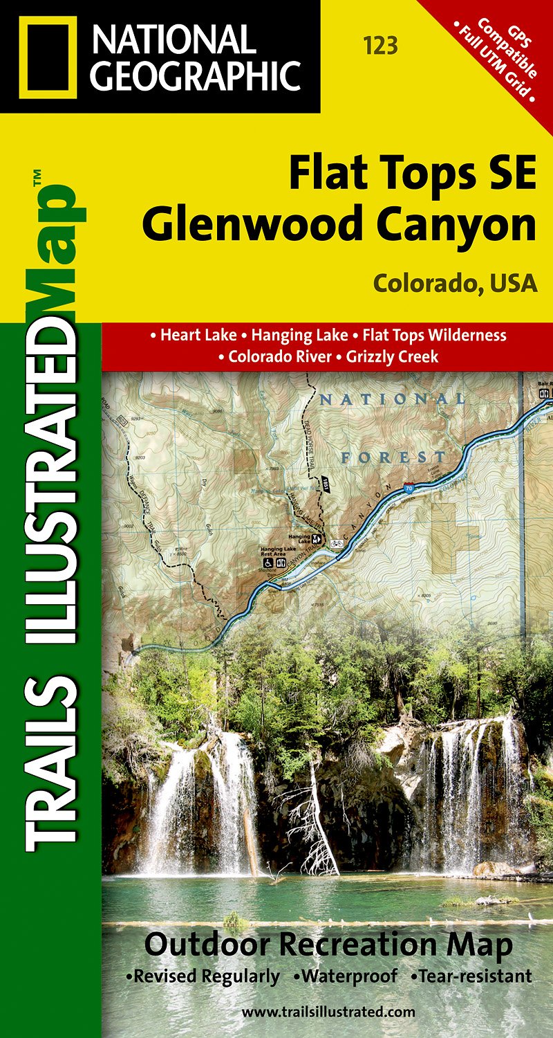
- Wandelkaart - Topografische kaart 123 Trails Illustrated Flat Tops SE, Glenwood Canyon | National Geographic
- Prachtige geplastificeerde kaart van het bekende nationaal park. Met alle recreatieve voorzieningen als campsites, maar ook met topografische details en wandelroutes ed. Door uitgekiend kleurgebruik zeer prettig in gebruik. Scheur en watervast! Beautiful waterproof and tear-resistant topographical hiking map of a well-loved National Park, with... Read more
De Zwerver
Netherlands
Netherlands
De Zwerver
Netherlands
Netherlands
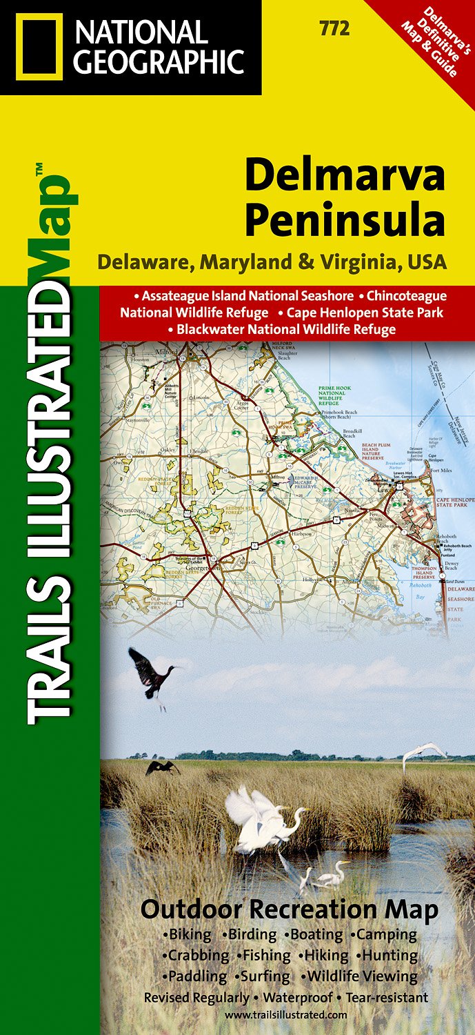
- Wandelkaart - Topografische kaart 772 Delmarva Peninsula | National Geographic
- Prachtige geplastificeerde kaart van het bekende nationaal park. Met alle recreatieve voorzieningen als campsites, maar ook met topografische details en wandelroutes ed. Door uitgekiend kleurgebruik zeer prettig in gebruik. Scheur en watervast! The new Delmarva Trails Illustrated regional topographic recreation map covers all major recreation... Read more
- Also available from:
- Stanfords, United Kingdom

Stanfords
United Kingdom
United Kingdom
- DelMarVa Peninsula - Delaware - Maryland - Virginia Recreational Map
- Map No. 772, DelMarVa Peninsula (Delaware, Maryland, Virginia) Recreational Map, in an extensive series of GPS compatible, contoured hiking maps of USA’s national and state parks or forests and other popular recreational areas. Cartography based on the national topographic survey, with additional tourist information.The maps, with most titles... Read more
De Zwerver
Netherlands
Netherlands
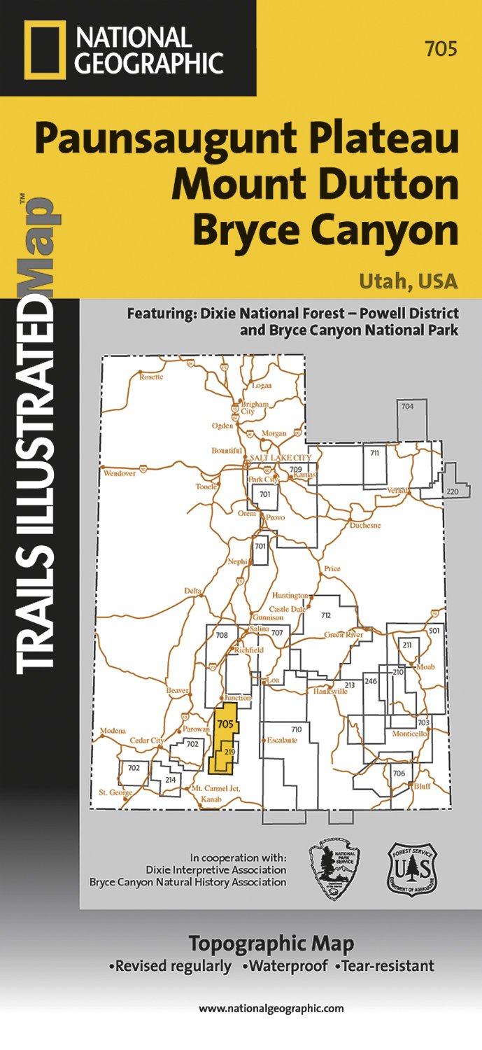
- Wandelkaart - Topografische kaart 705 Paunsaugunt Plateau - Mount Dutton - Bryce Canyon | National Geographic
- Prachtige geplastificeerde kaart van het bekende nationaal park. Met alle recreatieve voorzieningen als campsites, maar ook met topografische details en wandelroutes ed. Door uitgekiend kleurgebruik zeer prettig in gebruik. Scheur en watervast! Coverage includes Dixie National Forest. Bryce Canyon National Park; Paunsaugunt Plateau; Red Canyon,... Read more
- Also available from:
- Stanfords, United Kingdom

Stanfords
United Kingdom
United Kingdom
- Paunsaugunt Plateau - Mount Dutton - Bryce Canyon UT NGS Trails Illustrated Map 705
- Map No. 705, Paunsaugunt Plateau - Mount Dutton - Bryce Canyon in Utah in an extensive series of GPS compatible, contoured hiking maps of USA’s national and state parks or forests and other popular recreational areas. Cartography based on the national topographic survey, with additional tourist information.The maps, with most titles now printed... Read more
De Zwerver
Netherlands
Netherlands
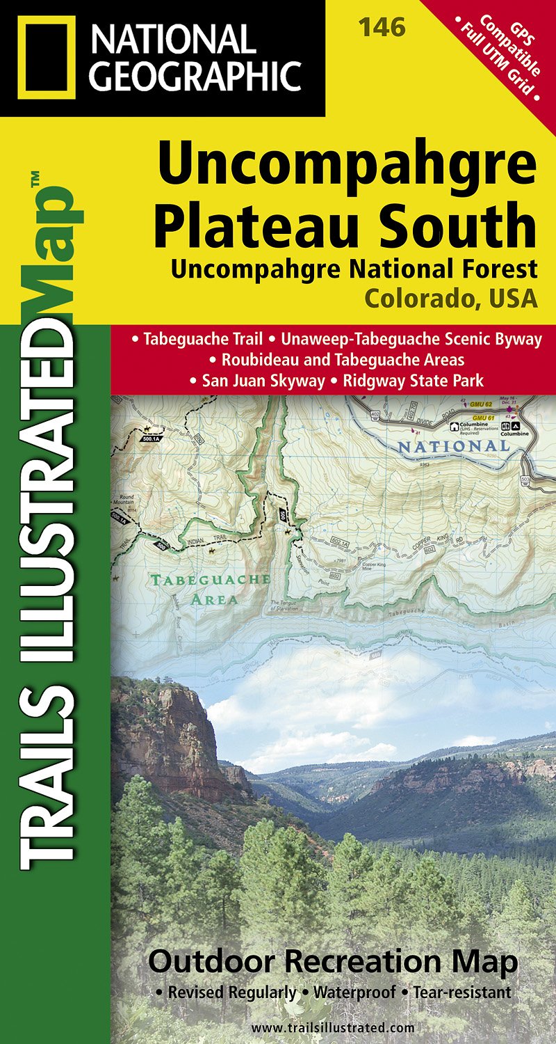
- Wandelkaart - Topografische kaart 146 Uncompahgre Plateau South | National Geographic
- Prachtige geplastificeerde kaart van het bekende nationaal park. Met alle recreatieve voorzieningen als campsites, maar ook met topografische details en wandelroutes ed. Door uitgekiend kleurgebruik zeer prettig in gebruik. Scheur en watervast! National Geographic's Trails Illustrated map of Uncompahgre Plateau South is a two-sided,... Read more
- Also available from:
- Stanfords, United Kingdom

Stanfords
United Kingdom
United Kingdom
- Uncompahgre Plateau South CO
- Map No. 146, covering the southern part of the Uncompahgre Plateau in Colorado at 1:63,360 in an extensive series of GPS compatible, contoured hiking maps of USA’s national and state parks or forests and other popular recreational areas. Cartography based on the national topographic survey, with additional tourist information.The maps, with... Read more
De Zwerver
Netherlands
Netherlands
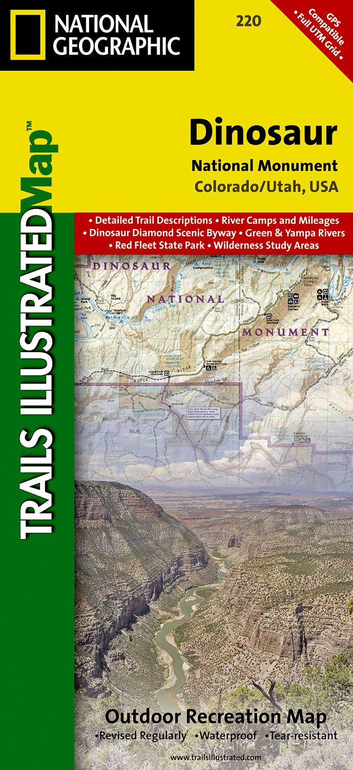
- Wandelkaart - Topografische kaart 220 Dinosaur National Monument | National Geographic
- Prachtige geplastificeerde kaart van het bekende nationaal park. Met alle recreatieve voorzieningen als campsites, maar ook met topografische details en wandelroutes ed. Door uitgekiend kleurgebruik zeer prettig in gebruik. Scheur en watervast! This Trails Illustrated topographic map for Dinosaur National Monument, which straddles the state... Read more
- Also available from:
- Stanfords, United Kingdom

Stanfords
United Kingdom
United Kingdom
- Dinosaur National Monument UT/CO
- Map No. 220, Dinosaur National Monument, UT/CO, in an extensive series of GPS compatible, contoured hiking maps of USA’s national and state parks or forests and other popular recreational areas. Cartography based on the national topographic survey, with additional tourist information.The maps, with most titles now printed on light, waterproof... Read more
De Zwerver
Netherlands
Netherlands
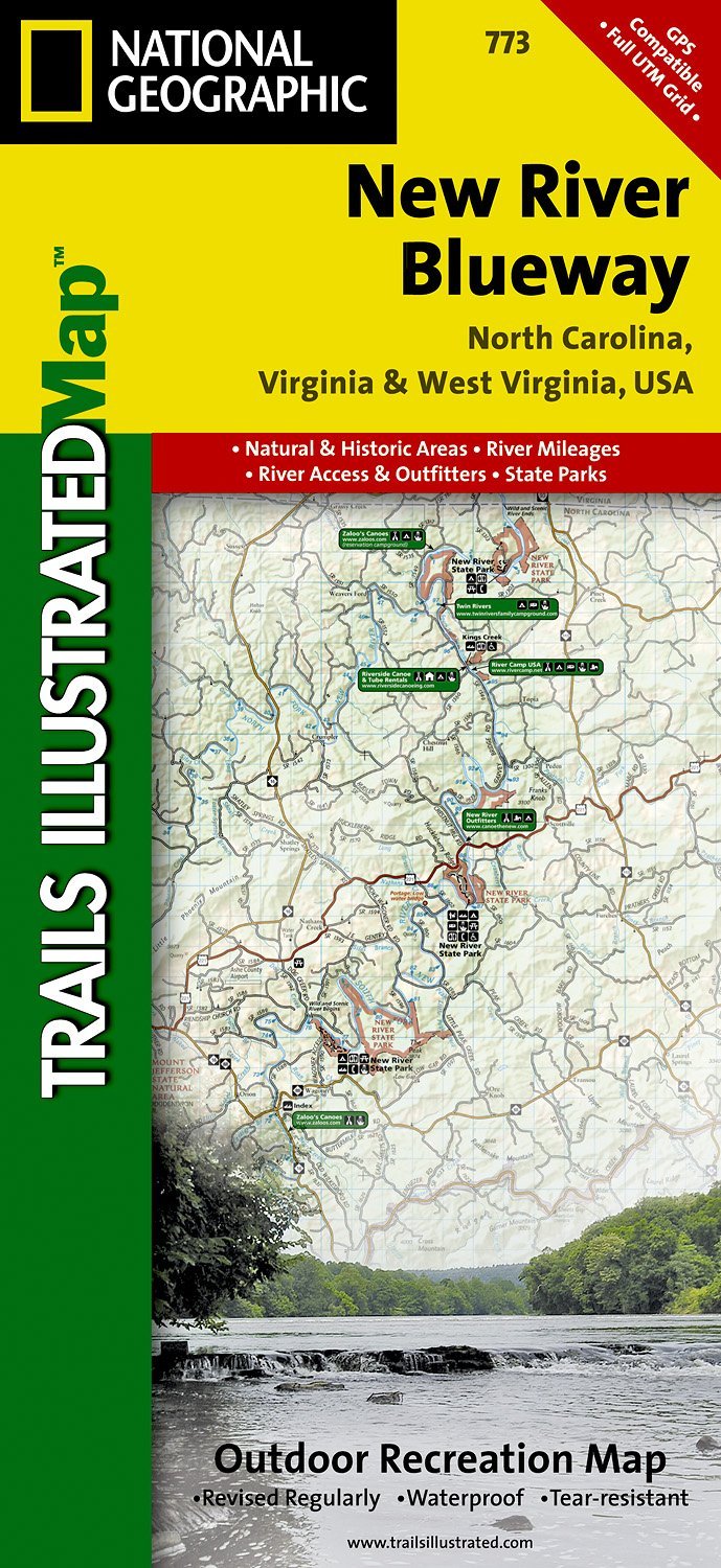
- Wandelkaart - Topografische kaart 773 New River Blueway | National Geographic
- Prachtige geplastificeerde kaart van het bekende nationaal park. Met alle recreatieve voorzieningen als campsites, maar ook met topografische details en wandelroutes ed. Door uitgekiend kleurgebruik zeer prettig in gebruik. Scheur en watervast! George Washington Nat. Forest, Jefferson Nat. Forest, New River Canoe Trail, Claytor Lake State Park,... Read more
- Also available from:
- Stanfords, United Kingdom

Stanfords
United Kingdom
United Kingdom
- New River Blueway NC/VA/WV
- Map No. 773, New River Blueway, NC/VA/WV, in an extensive series of GPS compatible, contoured hiking maps of USA’s national and state parks or forests and other popular recreational areas. Cartography based on the national topographic survey, with additional tourist information.The maps, with most titles now printed on light, waterproof and... Read more
De Zwerver
Netherlands
Netherlands
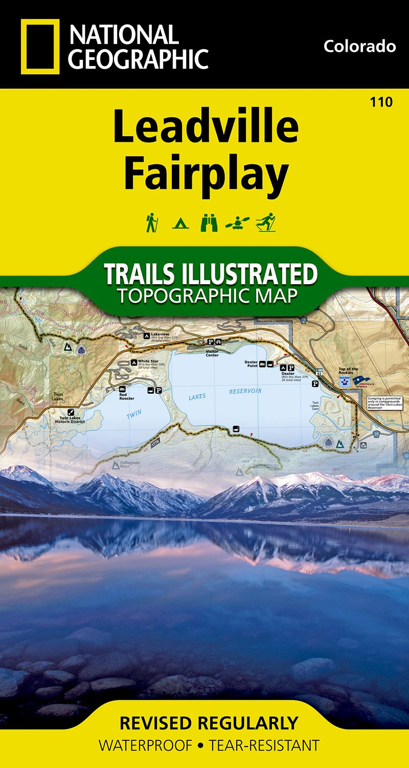
- Wandelkaart - Topografische kaart 110 Trails Illustrated Leadville Fairplay | National Geographic
- Prachtige geplastificeerde kaart van het bekende nationaal park. Met alle recreatieve voorzieningen als campsites, maar ook met topografische details en wandelroutes ed. Door uitgekiend kleurgebruik zeer prettig in gebruik. Scheur en watervast! Beautiful waterproof and tear-resistant topographical hiking map of a well-loved National Park, with... Read more
- Also available from:
- Stanfords, United Kingdom

Stanfords
United Kingdom
United Kingdom
- Leadville - Fairplay CO
- Map No. 110, Leadville - Fairplay area in Colorado in an extensive series of GPS compatible, contoured hiking maps of USA’s national and state parks or forests and other popular recreational areas. Cartography based on the national topographic survey, with additional tourist information.The maps, with most titles now printed on light,... Read more
De Zwerver
Netherlands
Netherlands
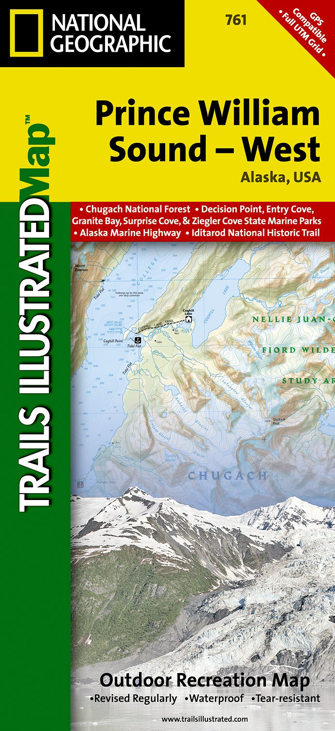
- Wandelkaart - Topografische kaart 761 Prince William Sound West | National Geographic
- Prachtige geplastificeerde kaart van het bekende nationaal park. Met alle recreatieve voorzieningen als campsites, maar ook met topografische details en wandelroutes ed. Door uitgekiend kleurgebruik zeer prettig in gebruik. Scheur en watervast! Coverage includes Chugach National Forest, Nellie Juan-College Fjord Wilderness Study Area, Granite... Read more
- Also available from:
- Stanfords, United Kingdom

Stanfords
United Kingdom
United Kingdom
- Prince William Sound West AK NGS Trails Illustrated Map 761
- Map No. 761, Prince William Sound West, AK, in an extensive series of GPS compatible, contoured hiking maps of USA’s national and state parks or forests and other popular recreational areas. Cartography based on the national topographic survey, with additional tourist information.The maps, with most titles now printed on light, waterproof and... Read more
De Zwerver
Netherlands
Netherlands
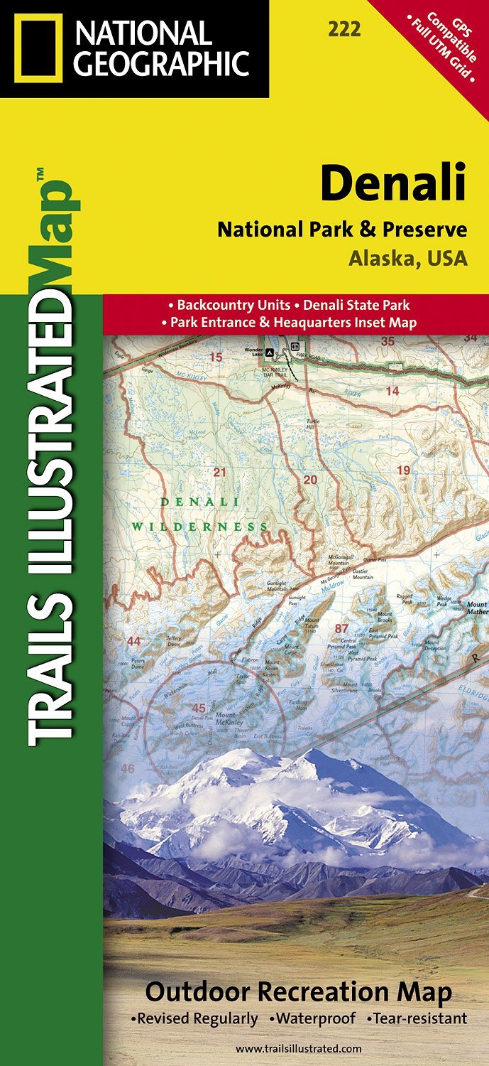
- Wandelkaart - Topografische kaart 222 Trails Illustrated Denali National Park | National Geographic
- Prachtige geplastificeerde kaart van het bekende nationaal park. Met alle recreatieve voorzieningen als campsites, maar ook met topografische details en wandelroutes ed. Door uitgekiend kleurgebruik zeer prettig in gebruik. Scheur en watervast! This colorful Trails Illustrated folded map offers detailed coverage of Alaska's Denali National... Read more
- Also available from:
- Stanfords, United Kingdom

Stanfords
United Kingdom
United Kingdom
- Denali National Park and Preserve AK
- Map No. 222, Denali National Park and Preserve, AK, in an extensive series of GPS compatible, contoured hiking maps of USA’s national and state parks or forests and other popular recreational areas. Cartography based on the national topographic survey, with additional tourist information.The maps, with most titles now printed on light,... Read more
De Zwerver
Netherlands
Netherlands
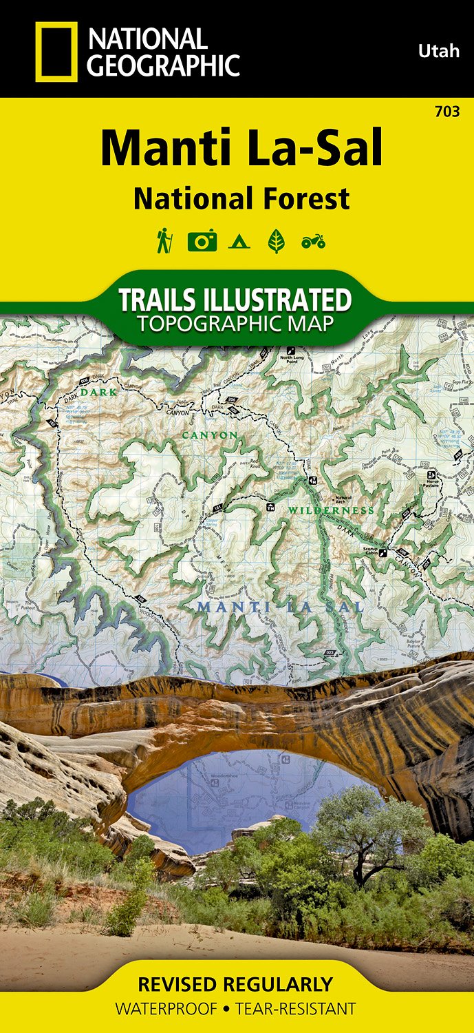
- Wandelkaart - Topografische kaart 703 Manti La-Sal National Forest | National Geographic
- Prachtige geplastificeerde kaart van het bekende nationaal park. Met alle recreatieve voorzieningen als campsites, maar ook met topografische details en wandelroutes ed. Door uitgekiend kleurgebruik zeer prettig in gebruik. Scheur en watervast! Coverage includes Manti-La-Sal National Forest; Dark Canyon Wilderness/Primitive Area; Natural... Read more
- Also available from:
- Stanfords, United Kingdom

Stanfords
United Kingdom
United Kingdom
- Manti La Sal National Forest UT
- Map No. 703, Manti La Sal National Forest, UT, in an extensive series of GPS compatible, contoured hiking maps of USA’s national and state parks or forests and other popular recreational areas. Cartography based on the national topographic survey, with additional tourist information.The maps, with most titles now printed on light, waterproof... Read more