
Connecticut
Beschrijving
Connecticut, in the northeast, belongs to the New England region.
The state has attractive forest and woodland, but is also populated.
The Appalachian Trail crosses Connecticut. Other projects include the New England Trail (220 miles), the Eastern Continental Trail (5400 miles), the Metacomet Trail (117 miles) and the 150 mile Highlands Trail (under construction).
Kaart

Paden in deze landsdeel
Links
Feiten
Verslagen
Gidsen en kaarten
Overnachting
Organisaties
Reisorganisaties
GPS
Anders
Boeken


De Zwerver
Netherlands
2021
Netherlands
2021

De Zwerver
Netherlands
Netherlands

De Zwerver
Netherlands
2018
Netherlands
2018
- Wandelgids USA: Appalachian Trail | Conrad Stein Verlag
- Handzame overzichtsgids van deze geweldige en uitdagende lange afstands wandeling in het oosten van de USA: de Appalachian Trail. Het is een ideale gids om de hele tocht voor te bereiden en als basisgids bij je te hebben. Goede beschrijvingen van etappes en veel praktische informatie. Het enige wat mager is zijn dekaarten: goed voor overzicht... Read more

De Zwerver
Netherlands
2022
Netherlands
2022
- Reisgids New England | Rough Guides
- Practical travel guide to New England with a free eBook featuring points-of-interest structured lists of all sights and off-the-beaten-track treasures, with detailed colour-coded maps, practical details about what to see and to do in New England, how to get there and around, pre-departure information, as well as top time-saving tips, like a... Read more
- Also available from:
- Stanfords, United Kingdom

Stanfords
United Kingdom
2022
United Kingdom
2022
- The Rough Guide to New England (Compact Guide with Free eBook)
- Practical travel guide to New England with a free eBook featuring points-of-interest structured lists of all sights and off-the-beaten-track treasures, with detailed colour-coded maps, practical details about what to see and to do in New England, how to get there and around, pre-departure information, as well as top time-saving tips, like a... Read more


Bol.com
Netherlands
Netherlands
- Appalachian Trail in Bits and Pieces
- Mary Mama Boots Sands introduced more than 100 Girl Scouts to the adventures of the Appalachian Trail during more than 16 years of hiking it in sections. It all adds up to well more than 100 individual adventures. Read more
- Also available from:
- Bol.com, Belgium
Bol.com
Belgium
Belgium
- Appalachian Trail in Bits and Pieces
- Mary Mama Boots Sands introduced more than 100 Girl Scouts to the adventures of the Appalachian Trail during more than 16 years of hiking it in sections. It all adds up to well more than 100 individual adventures. Read more
Bol.com
Netherlands
Netherlands
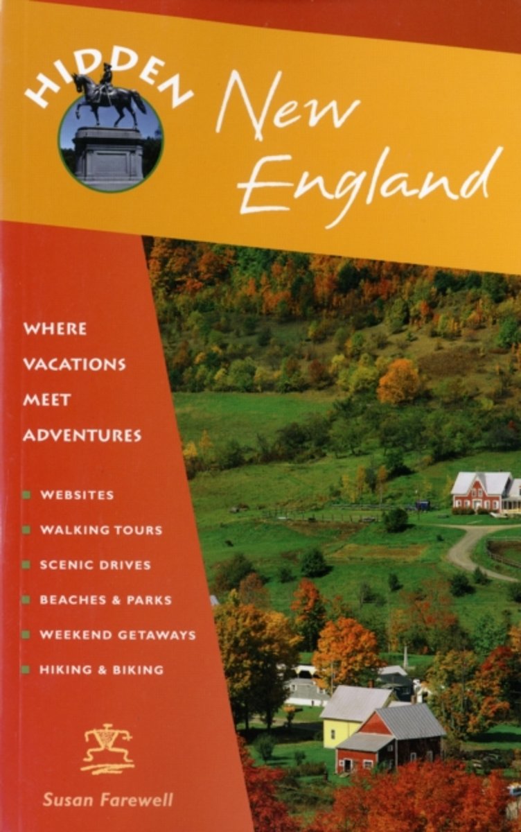
- Hidden New England
- Hidden New England Features a virtual bed-and-breakfast guide with over 200 country inns, coastal hotels, and mountain lodges. The region s landmarks are brought to life with interesting historical facts and stories. Carefully mapped out driving tours are included for the best of fall foliage viewing. Read more
- Also available from:
- Bol.com, Belgium
Bol.com
Belgium
Belgium
- Hidden New England
- Hidden New England Features a virtual bed-and-breakfast guide with over 200 country inns, coastal hotels, and mountain lodges. The region s landmarks are brought to life with interesting historical facts and stories. Carefully mapped out driving tours are included for the best of fall foliage viewing. Read more

Bol.com
Netherlands
Netherlands
- Buiten Is Het Leuker
- Wandelen langs ruisende beken, varen in een salonboot, theedrinken tussen de rododendrons en logeren in een hooiberg.BUITEN IS HET LEUKER doet suggesties voor stijlvolle uitstapjes in de omgeving van bijzondere natuur-gebieden in Nederland. Bij elke region zochten en vonden de samenstelsters van de succesvolle Agenda van NRC Handelsblad... Read more
- Also available from:
- Bol.com, Belgium
Bol.com
Belgium
Belgium
- Buiten Is Het Leuker
- Wandelen langs ruisende beken, varen in een salonboot, theedrinken tussen de rododendrons en logeren in een hooiberg.BUITEN IS HET LEUKER doet suggesties voor stijlvolle uitstapjes in de omgeving van bijzondere natuur-gebieden in Nederland. Bij elke region zochten en vonden de samenstelsters van de succesvolle Agenda van NRC Handelsblad... Read more
De Zwerver
Netherlands
Netherlands
- Also available from:
- Bol.com, Netherlands
- Bol.com, Belgium
Bol.com
Netherlands
Netherlands
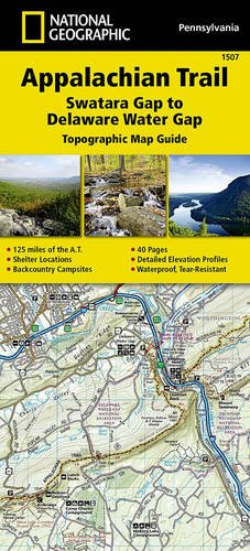
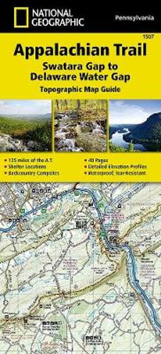
- Appalachian Trail, Swatara Gap To Delaware Water Gap, Pennsylvania
- Waterproof Tear-Resistant Topographic Map GuideThe Swatara Gap to Delaware Water Gap Topographic Map Guide makes a perfect traveling companion when traversing the northeastern Pennsylvania section of the Appalachian Trail (A.T.). The trail in this section of Pennsylvania primarily travels across flat, rocky ridges mixed with strenuous... Read more
Bol.com
Belgium
Belgium
- Appalachian Trail, Swatara Gap To Delaware Water Gap, Pennsylvania
- Waterproof Tear-Resistant Topographic Map GuideThe Swatara Gap to Delaware Water Gap Topographic Map Guide makes a perfect traveling companion when traversing the northeastern Pennsylvania section of the Appalachian Trail (A.T.). The trail in this section of Pennsylvania primarily travels across flat, rocky ridges mixed with strenuous... Read more
Bol.com
Netherlands
Netherlands
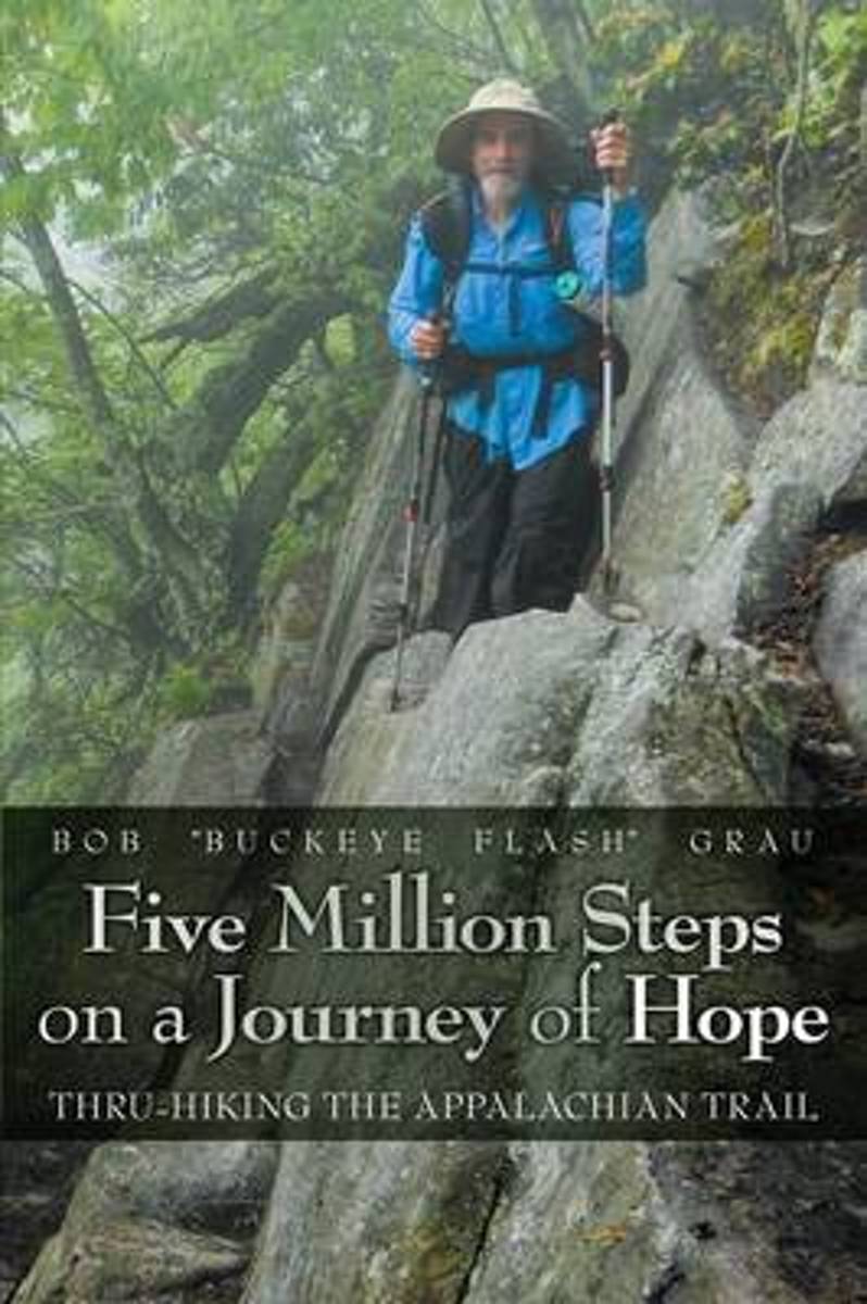
- Five Million Steps on a Journey of Hope
- On his 170-day hike, Bob traversed 14 states and climbed 270 mountains. He began his thru-hike in Georgia in March and completed it in Maine in September. Although the AT is described as "a footpath for those who seek fellowship with the wilderness," it is often steep, rocky, extremely demanding, and it looks nothing like a path. Less than 25%... Read more
- Also available from:
- Bol.com, Belgium
Bol.com
Belgium
Belgium
- Five Million Steps on a Journey of Hope
- On his 170-day hike, Bob traversed 14 states and climbed 270 mountains. He began his thru-hike in Georgia in March and completed it in Maine in September. Although the AT is described as "a footpath for those who seek fellowship with the wilderness," it is often steep, rocky, extremely demanding, and it looks nothing like a path. Less than 25%... Read more
Bol.com
Netherlands
Netherlands
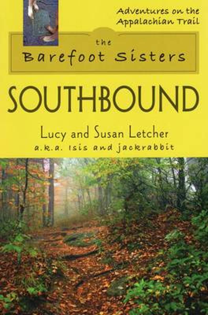
- Barefoot Sisters Southbound
- Sisters Lucy and Susan Letcher begin their barefoot thru-hike of the Appalachian Trail. A story filled with humor and determination. Read more
- Also available from:
- Bol.com, Belgium
Bol.com
Belgium
Belgium
- Barefoot Sisters Southbound
- Sisters Lucy and Susan Letcher begin their barefoot thru-hike of the Appalachian Trail. A story filled with humor and determination. Read more

Bol.com
Netherlands
Netherlands
- Costa del Sol (Granada) Marco Polo Pocket Guide
- Marco Polo Costa Del Sol: the Travel Guide with Insider Tips. Fully revised and updated for 2017. Now with new Discovery Tours chapter. With this up-to-date, authoritative guide you can experience all the places and sights and Best Of recommendations for the Costa del Sol. You'll pick up shopping ideas, what to do on a limited budget, and... Read more
- Also available from:
- Bol.com, Belgium
Bol.com
Belgium
Belgium
- Costa del Sol (Granada) Marco Polo Pocket Guide
- Marco Polo Costa Del Sol: the Travel Guide with Insider Tips. Fully revised and updated for 2017. Now with new Discovery Tours chapter. With this up-to-date, authoritative guide you can experience all the places and sights and Best Of recommendations for the Costa del Sol. You'll pick up shopping ideas, what to do on a limited budget, and... Read more
Bol.com
Netherlands
Netherlands
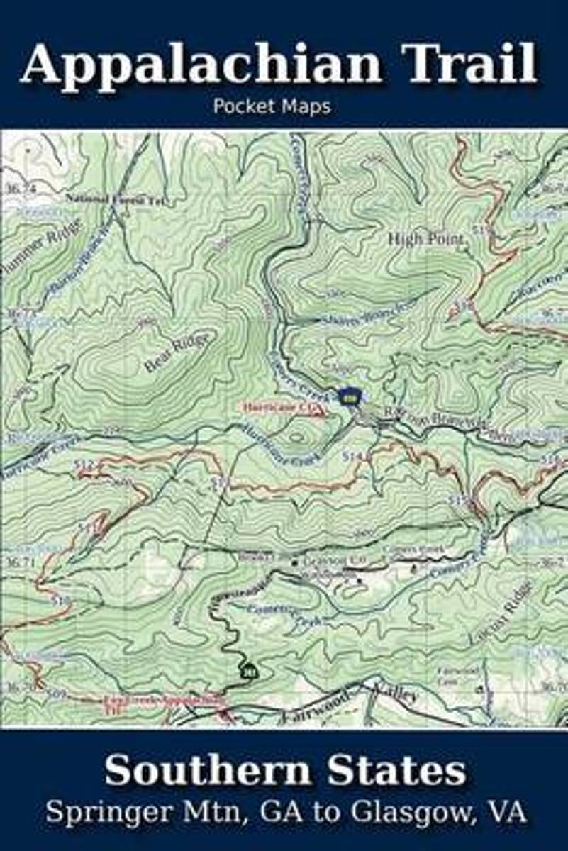
- Appalachian Trail Pocket Maps - Southern States
- Southern States - Springer Mtn, GA to Glasgow, VAOctober 1, 2014The Appalachian Trail Pocket Map Series is a complete and concise set of topographic maps created withdigitized base maps covering every step of the 2,180 mile trail from Georgia to Maine.These next generation maps are not created from 20-50 year old scanned topo maps. They are... Read more
- Also available from:
- Bol.com, Belgium
Bol.com
Belgium
Belgium
- Appalachian Trail Pocket Maps - Southern States
- Southern States - Springer Mtn, GA to Glasgow, VAOctober 1, 2014The Appalachian Trail Pocket Map Series is a complete and concise set of topographic maps created withdigitized base maps covering every step of the 2,180 mile trail from Georgia to Maine.These next generation maps are not created from 20-50 year old scanned topo maps. They are... Read more
Bol.com
Netherlands
Netherlands
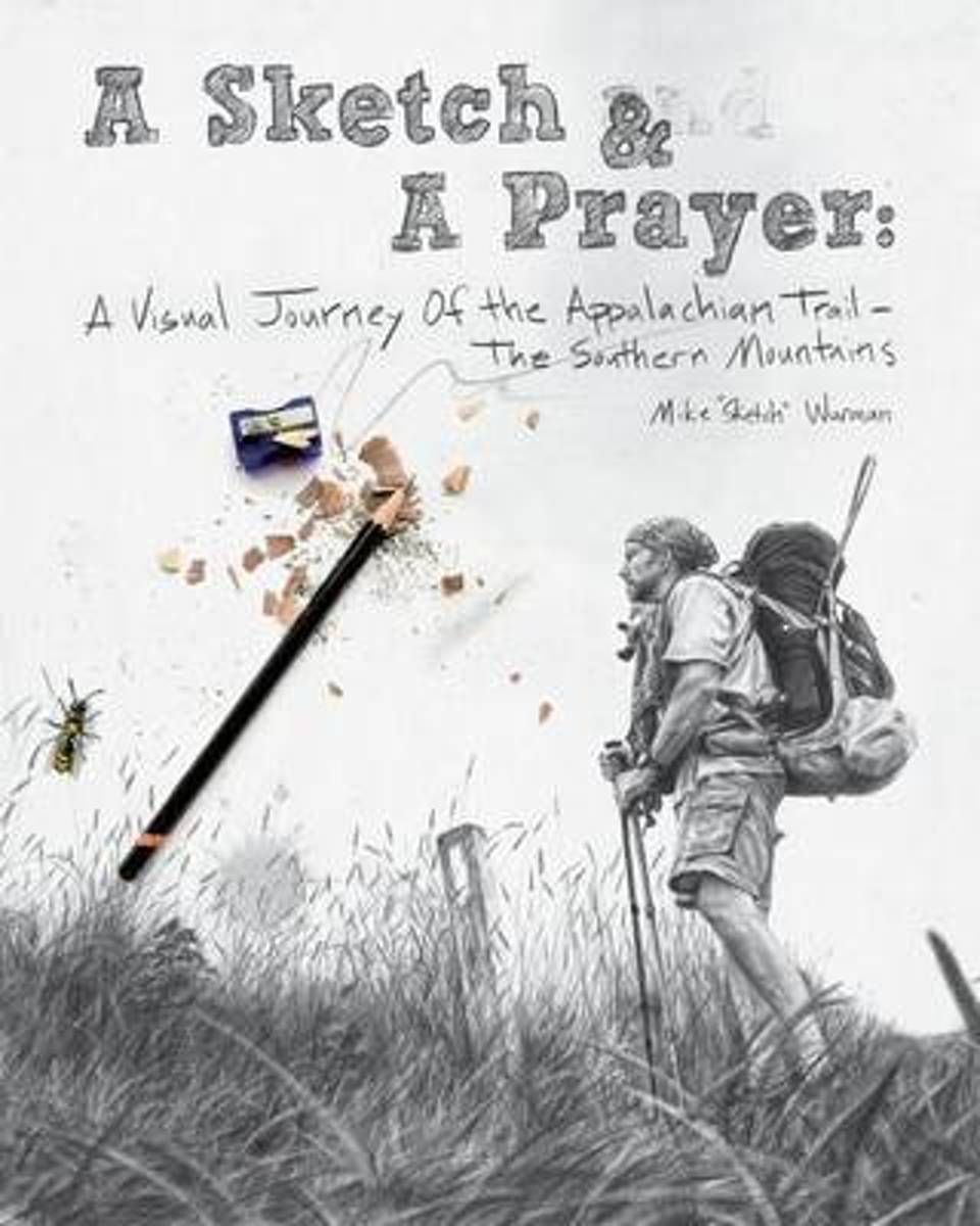
- A Sketch & a Prayer
- It's the story and artwork of an artist who had lost all inspiration to draw, until one day he walked across a bald mountain in North Carolina and took a photograph of a lone white blaze that marks the path of the 2189 mile long Appalachian Trail. In that instant, he was catapulted into a world only experienced by long distance hikers. With... Read more
- Also available from:
- Bol.com, Belgium
Bol.com
Belgium
Belgium
- A Sketch & a Prayer
- It's the story and artwork of an artist who had lost all inspiration to draw, until one day he walked across a bald mountain in North Carolina and took a photograph of a lone white blaze that marks the path of the 2189 mile long Appalachian Trail. In that instant, he was catapulted into a world only experienced by long distance hikers. With... Read more
Kaarten

Bol.com
Netherlands
Netherlands
- Springer & Cohutta Mountains, Chattahoochee National Forest
- Waterproof Tear-Resistant Topographic MapLocated just north of Atlanta, the Chattahoochee National Forest contains the southern terminus of the Appalachian Trail along with an abundance of recreational opportunities for outdoor enthusiasts of all interests.This detailed recreation map contains carefully researched trails, campsites,... Read more
- Also available from:
- Bol.com, Belgium
- Stanfords, United Kingdom
Bol.com
Belgium
Belgium
- Springer & Cohutta Mountains, Chattahoochee National Forest
- Waterproof Tear-Resistant Topographic MapLocated just north of Atlanta, the Chattahoochee National Forest contains the southern terminus of the Appalachian Trail along with an abundance of recreational opportunities for outdoor enthusiasts of all interests.This detailed recreation map contains carefully researched trails, campsites,... Read more

Stanfords
United Kingdom
United Kingdom
- Chattahoochee National Forest - Springer and Cohutta Mountains GA/SC 777
- Map No. 777, Chattahoochee National Forest: Springer and Cohutta Mountains, GA/SC, in an extensive series of GPS compatible, contoured hiking maps of USA’s national and state parks or forests and other popular recreational areas. Cartography based on the national topographic survey, with additional tourist information.The maps, with most titles... Read more

De Zwerver
Netherlands
Netherlands
- Wandelkaart - Topografische kaart 318 Mount Rogers High Country - Grayson Highlands State Park | National Geographic
- Prachtige geplastificeerde kaart van het bekende nationaal park. Met alle recreatieve voorzieningen als campsites, maar ook met topografische details en wandelroutes ed. Door uitgekiend kleurgebruik zeer prettig in gebruik. Scheur en watervast! National Geographic's Trails Illustrated map of Mount Rogers High Country and Grayson Highlands... Read more
- Also available from:
- Bol.com, Netherlands
- Bol.com, Belgium
- Stanfords, United Kingdom
- The Book Depository, United Kingdom

Bol.com
Netherlands
Netherlands
- Mount Rogers High Country
- Waterproof Tear-Resistant Topographic MapNational Geographic's Trails Illustrated map of Mount Rogers High Country and Grayson Highlands State Park, Southwest Virginia, is a two-sided, waterproof, topographic trail map designed to meet the needs of outdoor enthusiasts with unmatched durability and detail. This map was created in... Read more
Bol.com
Belgium
Belgium
- Mount Rogers High Country
- Waterproof Tear-Resistant Topographic MapNational Geographic's Trails Illustrated map of Mount Rogers High Country and Grayson Highlands State Park, Southwest Virginia, is a two-sided, waterproof, topographic trail map designed to meet the needs of outdoor enthusiasts with unmatched durability and detail. This map was created in... Read more

Stanfords
United Kingdom
United Kingdom
- Mount Rogers High Country VA
- Map No. 318 - Mount Rogers High Country in Virginia in an extensive series of GPS compatible, contoured hiking maps of USA’s national and state parks or forests and other popular recreational areas. Cartography based on the national topographic survey, with additional tourist information.The maps, with most titles now printed on light,... Read more

The Book Depository
United Kingdom
United Kingdom
- Mount Rogers High Country
- Trails Illustrated Other Rec. Areas Read more

De Zwerver
Netherlands
Netherlands
- Wandelkaart - Topografische kaart 747 Green Mountain National Forest North - Moosalamoo NRA - Rutland | National Geographic
- Prachtige geplastificeerde kaart van het bekende nationaal park. Met alle recreatieve voorzieningen als campsites, maar ook met topografische details en wandelroutes ed. Door uitgekiend kleurgebruik zeer prettig in gebruik. Scheur en watervast! National Geographic's Green Mountain National Forest North Trails Illustrated topographic map is... Read more
- Also available from:
- Bol.com, Netherlands
- Bol.com, Belgium
- Stanfords, United Kingdom
- The Book Depository, United Kingdom

Bol.com
Netherlands
Netherlands
- Green Mountains N.F., Moosalamoo NRA/Rutland
- Waterproof Tear-Resistant Topographic MapNational Geographic's Green Mountain National Forest North Trails Illustrated topographic map is the most comprehensive available for outdoor enthusiasts of all types. Designed to be easy-to-read, yet highly detailed this map includes a comprehensive road and trail network distinguishing between... Read more
Bol.com
Belgium
Belgium
- Green Mountains N.F., Moosalamoo NRA/Rutland
- Waterproof Tear-Resistant Topographic MapNational Geographic's Green Mountain National Forest North Trails Illustrated topographic map is the most comprehensive available for outdoor enthusiasts of all types. Designed to be easy-to-read, yet highly detailed this map includes a comprehensive road and trail network distinguishing between... Read more

Stanfords
United Kingdom
United Kingdom
- Green Mountain National Forest - Moosalamoo NRA - Rutland VT
- Map No. 747, Green Mountain National Forest: Moosalamoo NRA - Rutland area in Vermont, in an extensive series of GPS compatible, contoured hiking maps of USA’s national and state parks or forests and other popular recreational areas. Cartography based on the national topographic survey, with additional tourist information.The maps, with most... Read more

The Book Depository
United Kingdom
United Kingdom
- Green Mountains N.f., Moosalamoo Nra/rutland
- Trails Illustrated Other Rec. Areas Read more

De Zwerver
Netherlands
Netherlands
- Wandelkaart - Topografische kaart 316 Cades Cove - Elkmont - Great Smoky Mountains National Park | National Geographic
- Prachtige geplastificeerde kaart van het bekende nationaal park. Met alle recreatieve voorzieningen als campsites, maar ook met topografische details en wandelroutes ed. Door uitgekiend kleurgebruik zeer prettig in gebruik. Scheur en watervast! This title provides an increased scale of one of the most visited National Parks in the US, and one... Read more
- Also available from:
- Bol.com, Netherlands
- Bol.com, Belgium
- Stanfords, United Kingdom

Bol.com
Netherlands
Netherlands
- Cades Cove/elkmont, Great Smoky Mountains National Park
- Waterproof Tear-Resistant Topographic MapThis title provides an increased scale of one of the most visited National Parks in the US, and one of our more popular map titles. This increased scale will provide greater detail to the backcountry users and Appalachian Trail through-hikers.Park Introduction:Great Smoky Mountains National Park is... Read more
Bol.com
Belgium
Belgium
- Cades Cove/elkmont, Great Smoky Mountains National Park
- Waterproof Tear-Resistant Topographic MapThis title provides an increased scale of one of the most visited National Parks in the US, and one of our more popular map titles. This increased scale will provide greater detail to the backcountry users and Appalachian Trail through-hikers.Park Introduction:Great Smoky Mountains National Park is... Read more

Stanfords
United Kingdom
United Kingdom
- Cades Cove - Elkmont - Great Smoky Mountains National Park NC/TN
- Map No. 316, Great Smoky Mountains National Park: Cades Cove - Elkmont, NC/TN, in an extensive series of GPS compatible, contoured hiking maps of USA’s national and state parks or forests and other popular recreational areas. Cartography based on the national topographic survey, with additional tourist information.The maps, with most titles now... Read more