
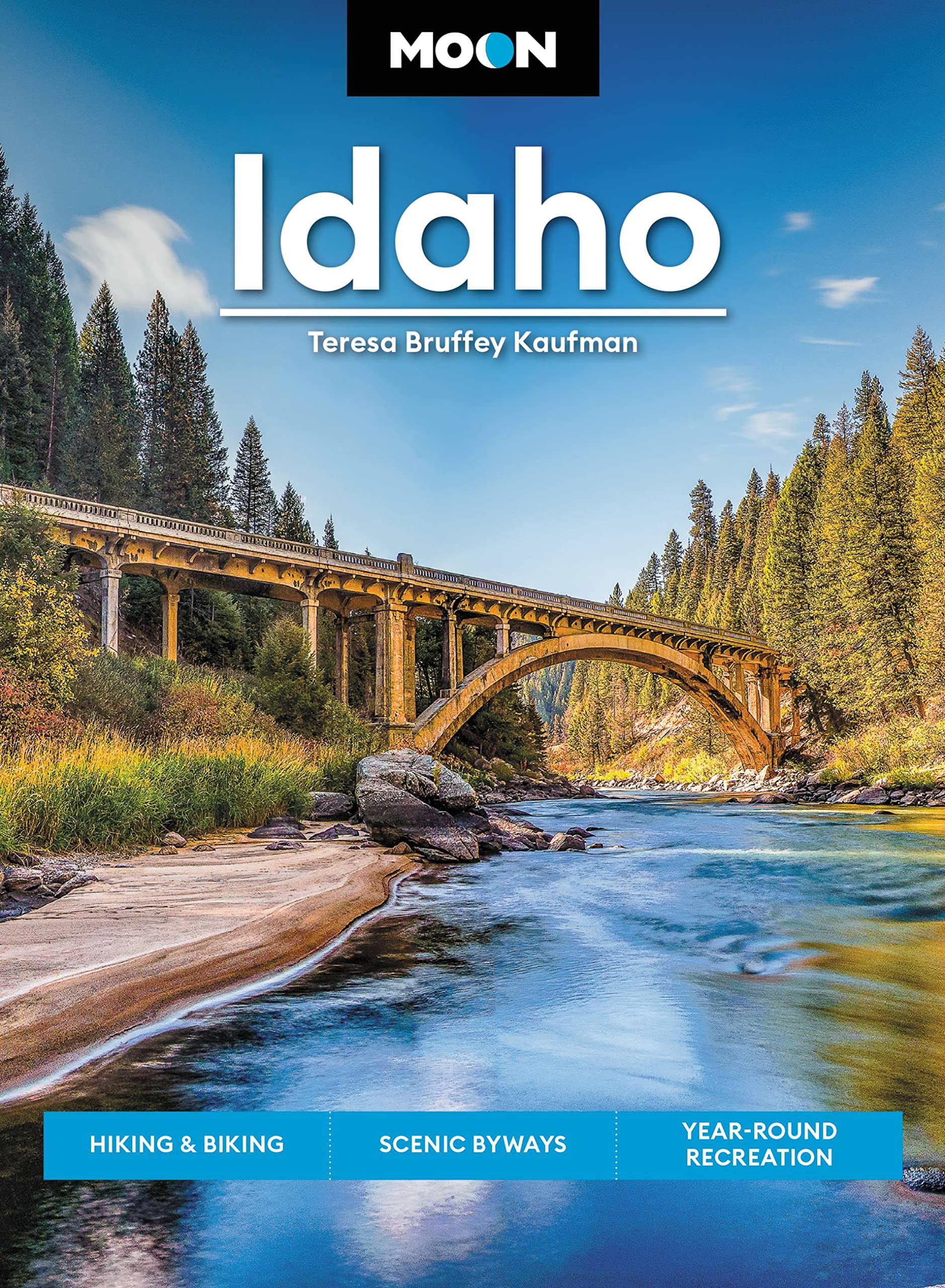
Idaho
Beschrijving
Mountainous Idaho in the northeast of the States hosts 325 miles of the Continental Divide Trail, parts of the Great Western Trail and parts of the Pacific Northwest Trail.
All these trails are of great length. But if this is not enough, you can venture on the 1200 miles pure Idaho Centennial Trail, running north-south along the crests of the Rocky Mountains with its many lakes.
Targhee National Forest borders on Yellowstone National Park (Wyoming). There is very good walking in Nez Perce National Forest, Idaho Panhandle National Forest, Sawtooth National Forest, Challis National Forest, Payette National Forest, Targhee National Forest, Salmon National Forest and others.
Kaart

Paden in deze landsdeel
Links
Feiten
Verslagen
Gidsen en kaarten
Overnachting
Organisaties
Reisorganisaties
GPS
Anders
Boeken
Bol.com
Netherlands
Netherlands
- Abenteuer Rocky Mountains
- Die wunderbar wilde Bergwelt der Rocky Mountains ist einer der wenigen Orte dieser Welt, an dem man noch wirkliche Abenteuer erleben kann. Günter Wamser und Sonja Endlweber sind mit vier Pferden entlang des 5000 Kilometer langen Continental Divide Trail von der mexikanischen zur kanadischen Grenze gereist, von den Wüsten New Mexicos durch die... Read more
- Also available from:
- Bol.com, Belgium
Bol.com
Belgium
Belgium
- Abenteuer Rocky Mountains
- Die wunderbar wilde Bergwelt der Rocky Mountains ist einer der wenigen Orte dieser Welt, an dem man noch wirkliche Abenteuer erleben kann. Günter Wamser und Sonja Endlweber sind mit vier Pferden entlang des 5000 Kilometer langen Continental Divide Trail von der mexikanischen zur kanadischen Grenze gereist, von den Wüsten New Mexicos durch die... Read more
Bol.com
Netherlands
Netherlands
- Fishing Idaho - An Angler's Guide
- FISHING IDAHO, An Angler's Guide is the most comprehensive guide to fishing in Idaho. The book also covers camping, Native American lands, backcountry airstrips and all type of fishing in Idaho.From the northern tip of the Panhandle to the southeast corner of Bear Lake, Idaho is truly an angler s paradise. The rivers, lakes, and streams of this... Read more
- Also available from:
- Bol.com, Belgium
Bol.com
Belgium
Belgium
- Fishing Idaho - An Angler's Guide
- FISHING IDAHO, An Angler's Guide is the most comprehensive guide to fishing in Idaho. The book also covers camping, Native American lands, backcountry airstrips and all type of fishing in Idaho.From the northern tip of the Panhandle to the southeast corner of Bear Lake, Idaho is truly an angler s paradise. The rivers, lakes, and streams of this... Read more
Bol.com
Netherlands
Netherlands
- Spectacular Golf Pacific Northwest
- Celebrating more than 60 alluring golf holes, Spectacular Golf Pacific Northwest is the first book of its kind on the scenic region, giving golfers diverse perspectives on every featured hole. From high plains desert courses in Oregon to mountain layouts in Washington and Idaho to the breathtakingly beautiful tracks on the Oregon coast, the... Read more
- Also available from:
- Bol.com, Belgium
Bol.com
Belgium
Belgium
- Spectacular Golf Pacific Northwest
- Celebrating more than 60 alluring golf holes, Spectacular Golf Pacific Northwest is the first book of its kind on the scenic region, giving golfers diverse perspectives on every featured hole. From high plains desert courses in Oregon to mountain layouts in Washington and Idaho to the breathtakingly beautiful tracks on the Oregon coast, the... Read more
Bol.com
Netherlands
Netherlands
- Backpacking Idaho
- A backpacker's guide, Backpacking Idaho features 50 trails statewide. Included here is up-to-date trail information, accurate directions to popular and less-traveled trails, difficulty ratings, detailed trail maps, and Leave No Trace camping tips. Read more
- Also available from:
- Bol.com, Belgium
Bol.com
Belgium
Belgium
- Backpacking Idaho
- A backpacker's guide, Backpacking Idaho features 50 trails statewide. Included here is up-to-date trail information, accurate directions to popular and less-traveled trails, difficulty ratings, detailed trail maps, and Leave No Trace camping tips. Read more
De Zwerver
Netherlands
Netherlands
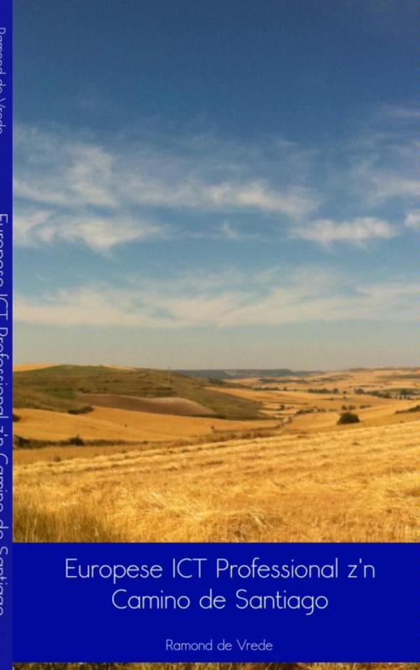
- Reisverhaal Europese ICT professional z'n Camino de Santiago | Ramond de Vrede
- Ramond de Vrede vertrekt 6 juli 2011 vanuit Maastricht met de trein naar Saint-Jean-Pied-de-Port in Frankrijk. 7 juli 2011 gaat hij dan zijn grootste wandeling ooit maken. Ongeveer 800 kilometer van Saint-Jean-Pied-de-Port naar Santiago de Compostella. Pelgrimeren. Het tot jezelf komen. Inzicht krijgen wat je wilt in het leven en ook vooral wat... Read more
- Also available from:
- Bol.com, Netherlands
- Bol.com, Belgium

Bol.com
Netherlands
Netherlands
- Europese ICT professional z'n Camino de Santiago
- Ramond de Vrede vertrekt 6 juli 2011 vanuit Maastricht met de trein naar Saint-Jean-Pied-de-Port in Frankrijk. 7 juli 2011 gaat hij dan zijn grootste wandeling ooit maken. Ongeveer 800 kilometer van Saint-Jean-Pied-de-Port naar Santiago de Compostella. Pelgrimeren. Het tot jezelf komen. Inzicht krijgen wat je wilt in het leven en ook vooral wat... Read more
Bol.com
Belgium
Belgium
- Europese ICT professional z'n Camino de Santiago
- Ramond de Vrede vertrekt 6 juli 2011 vanuit Maastricht met de trein naar Saint-Jean-Pied-de-Port in Frankrijk. 7 juli 2011 gaat hij dan zijn grootste wandeling ooit maken. Ongeveer 800 kilometer van Saint-Jean-Pied-de-Port naar Santiago de Compostella. Pelgrimeren. Het tot jezelf komen. Inzicht krijgen wat je wilt in het leven en ook vooral wat... Read more
Bol.com
Netherlands
Netherlands
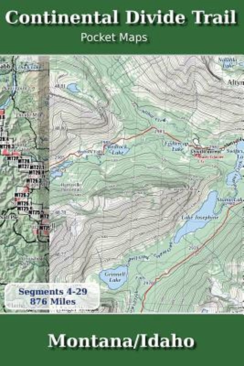
- Continental Divide Trail Pocket Maps - Montana/Idaho
- Montana & Idaho2nd Edition - November 5, 2017 - Major Updates for 2018The Continental Divide Trail Pocket Map Series is a current, complete and concise set of topographic maps created with digitized base maps covering every step of the 3,062 mile trail from Mexico to Canada. These are not 40 year old scanned USGS topographic maps.Features:+... Read more
- Also available from:
- Bol.com, Belgium
Bol.com
Belgium
Belgium
- Continental Divide Trail Pocket Maps - Montana/Idaho
- Montana & Idaho2nd Edition - November 5, 2017 - Major Updates for 2018The Continental Divide Trail Pocket Map Series is a current, complete and concise set of topographic maps created with digitized base maps covering every step of the 3,062 mile trail from Mexico to Canada. These are not 40 year old scanned USGS topographic maps.Features:+... Read more
Bol.com
Netherlands
Netherlands
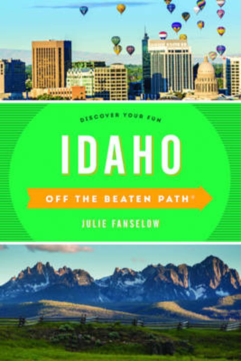
- Idaho Off the Beaten Path (R)
- Whether you're a visitor or a local looking for something different, Idaho Off the Beaten Path shows you the Gem State with new perspectives on timeless destinations and introduces you to those you never knew existed--from the best in local dining to quirky cultural tidbits to hidden attractions, unique finds, and unusual locales. So if you've... Read more
- Also available from:
- Bol.com, Belgium
Bol.com
Belgium
Belgium
- Idaho Off the Beaten Path (R)
- Whether you're a visitor or a local looking for something different, Idaho Off the Beaten Path shows you the Gem State with new perspectives on timeless destinations and introduces you to those you never knew existed--from the best in local dining to quirky cultural tidbits to hidden attractions, unique finds, and unusual locales. So if you've... Read more
Bol.com
Netherlands
Netherlands
- Continental Divide Trail [Laminated]
- National Geographic's map of the Continental Divide Trail is ideal for fans and hikers of this magnificent National Scenic Trail. It makes a great planning tool or as reference to track progress on the 3,100 plus mile length. This beautiful map shows the entire length of the trail from Mexico to Canada through New Mexico, Colorado, Wyoming,... Read more
- Also available from:
- Bol.com, Belgium
Bol.com
Belgium
Belgium
- Continental Divide Trail [Laminated]
- National Geographic's map of the Continental Divide Trail is ideal for fans and hikers of this magnificent National Scenic Trail. It makes a great planning tool or as reference to track progress on the 3,100 plus mile length. This beautiful map shows the entire length of the trail from Mexico to Canada through New Mexico, Colorado, Wyoming,... Read more
Bol.com
Netherlands
Netherlands
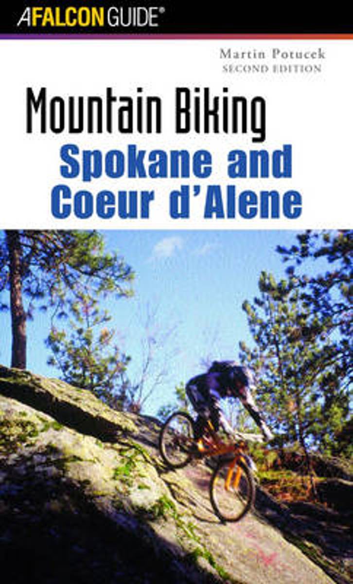
- Mountain Biking Spokane and Coeur d'Alene
- This guide profiles 40 rides in the Inland Empire of eastern Washington and the panhandle of Idaho. Detailed maps, elevation profiles, and a handy, pocket-size format help make this book an indispensable reference guide for mountain bikers in Idaho and Washington. Read more
- Also available from:
- Bol.com, Belgium
Bol.com
Belgium
Belgium
- Mountain Biking Spokane and Coeur d'Alene
- This guide profiles 40 rides in the Inland Empire of eastern Washington and the panhandle of Idaho. Detailed maps, elevation profiles, and a handy, pocket-size format help make this book an indispensable reference guide for mountain bikers in Idaho and Washington. Read more

Bol.com
Netherlands
Netherlands
- Oregon Swallowtail Butterfly Galleria
- Oregon Swallowtail Butterflies Papilio oregoniusIt's habitat is Oregon, Washington, Idaho, and southcentral British Columbia in Canada.Wingspan 2.5" to about 5" across.Populations dwindling in global genocideThey range in the high mountain Cascades and Fly through the valleys all as their habitat.GMO, BT, GM crops are decimating... Read more
- Also available from:
- Bol.com, Belgium
Bol.com
Belgium
Belgium
- Oregon Swallowtail Butterfly Galleria
- Oregon Swallowtail Butterflies Papilio oregoniusIt's habitat is Oregon, Washington, Idaho, and southcentral British Columbia in Canada.Wingspan 2.5" to about 5" across.Populations dwindling in global genocideThey range in the high mountain Cascades and Fly through the valleys all as their habitat.GMO, BT, GM crops are decimating... Read more
Bol.com
Netherlands
Netherlands
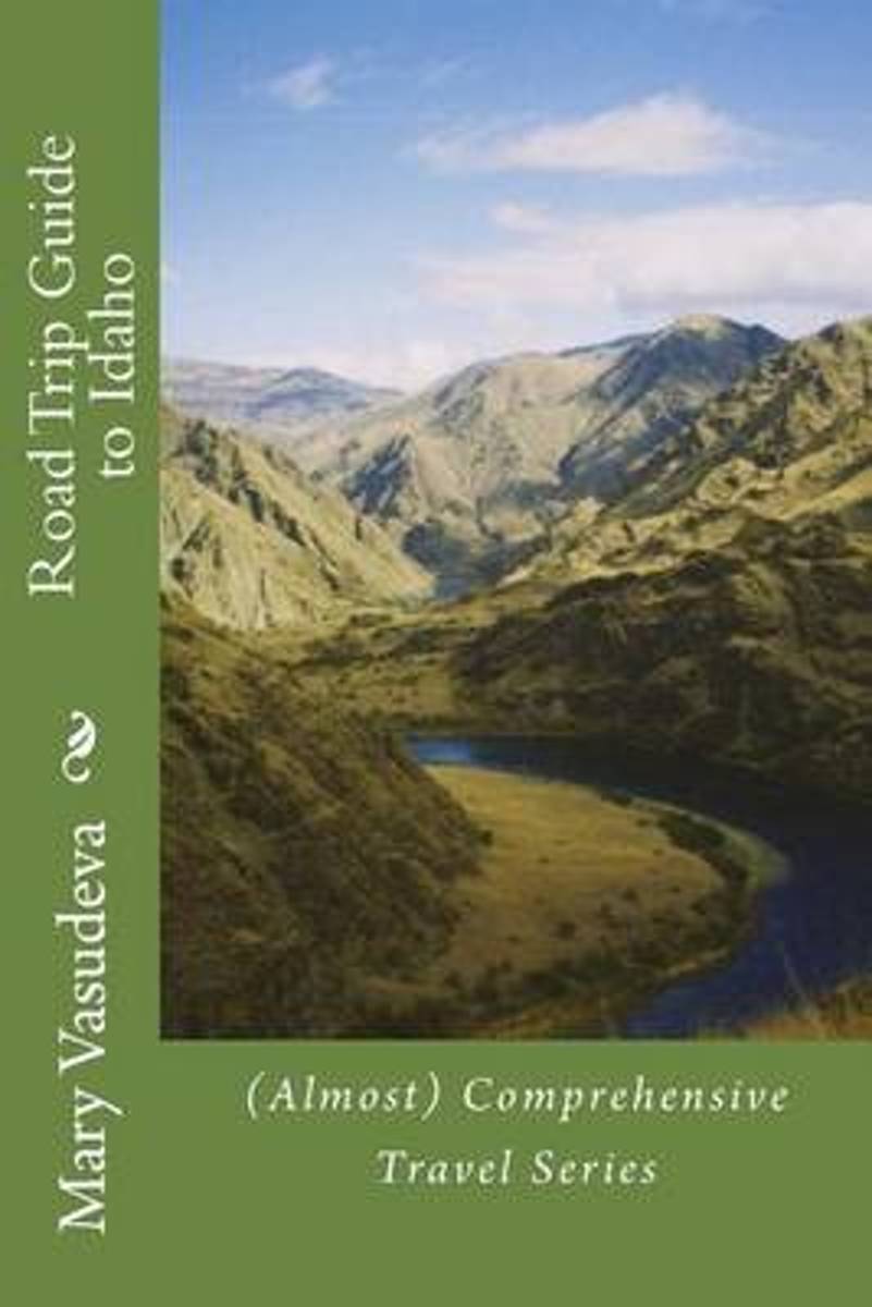
- Road Trip Guide to Idaho
- Each (Almost) Comprehensive guide covers attractions, lodging, dining, and moves beyond the usual travel book with media connections as well as history, culture and scientific tid bits about the area. Media connections are links to either online or paper sources that can supplement the traveler's experience.The focus is on places that other... Read more
- Also available from:
- Bol.com, Belgium
Bol.com
Belgium
Belgium
- Road Trip Guide to Idaho
- Each (Almost) Comprehensive guide covers attractions, lodging, dining, and moves beyond the usual travel book with media connections as well as history, culture and scientific tid bits about the area. Media connections are links to either online or paper sources that can supplement the traveler's experience.The focus is on places that other... Read more
Bol.com
Netherlands
Netherlands
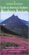
- National Geographic Guides to America's Outdoors
- Idaho Wyoming Montana In this practical, informative, richly illustrated guide, National Geographic takes you to the best nature sites in the northern Rockies and tells you what you need to know -- about the landscape, plants, animals, activities, and recreation -- to experience them fully. * Over 75 major sites, plus many smaller ones, grouped... Read more
- Also available from:
- Bol.com, Belgium
Bol.com
Belgium
Belgium
- National Geographic Guides to America's Outdoors
- Idaho Wyoming Montana In this practical, informative, richly illustrated guide, National Geographic takes you to the best nature sites in the northern Rockies and tells you what you need to know -- about the landscape, plants, animals, activities, and recreation -- to experience them fully. * Over 75 major sites, plus many smaller ones, grouped... Read more
Bol.com
Netherlands
Netherlands
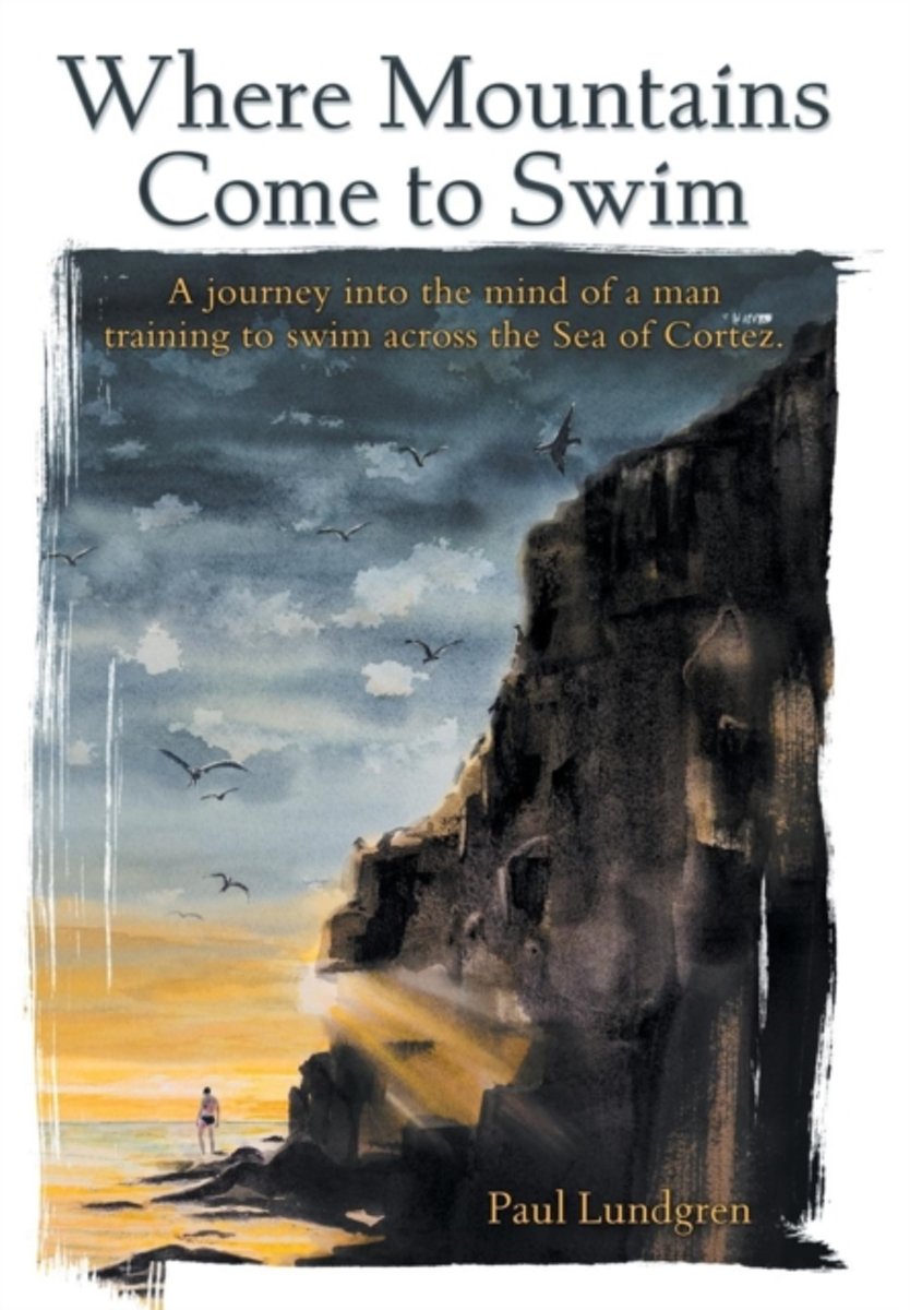
- Where Mountains Come to Swim
- Where Mountains Come to Swim Oftentimes, when alone and pondering the meaning of life and memories of the past, insightful revelations are realized. That is the case during the author's swim in his attempt to cross the Sea of Cortez. After failed attempts, Paul is determined to try again in conquering this challenge, bringing his wife and... Read more
- Also available from:
- Bol.com, Belgium
Bol.com
Belgium
Belgium
- Where Mountains Come to Swim
- Where Mountains Come to Swim Oftentimes, when alone and pondering the meaning of life and memories of the past, insightful revelations are realized. That is the case during the author's swim in his attempt to cross the Sea of Cortez. After failed attempts, Paul is determined to try again in conquering this challenge, bringing his wife and... Read more
Bol.com
Netherlands
Netherlands
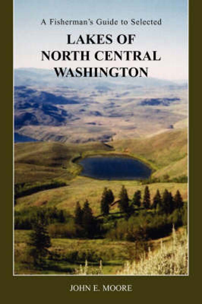
- A Fisherman's Guide to Selected Lakes of North Central Washington
- Most fishing guides offer very limited information on a large number of lakes, most of which their authors have never even been near. This book provides detailed information on the lake and surrounding area, as well as directions and fishing tips. All lakes included in this book have been personally visited, photographed, and in most cases... Read more
- Also available from:
- Bol.com, Belgium
Bol.com
Belgium
Belgium
- A Fisherman's Guide to Selected Lakes of North Central Washington
- Most fishing guides offer very limited information on a large number of lakes, most of which their authors have never even been near. This book provides detailed information on the lake and surrounding area, as well as directions and fishing tips. All lakes included in this book have been personally visited, photographed, and in most cases... Read more
Kaarten


De Zwerver
Netherlands
Netherlands
- Wegenkaart - landkaart Idaho, Montana & Wyoming | ITMB
- Idaho,Montana & Wyoming Travel Reference Map 1 : 1 000 000 ab 10.49 EURO International Travel Map ITM. 1st Edition Read more

Bol.com
Netherlands
Netherlands
- North Fork, Glacier National Park
- Waterproof Tear-Resistant Topographic MapLocated just north of Kalispell in Montana's northwest corner, Glacier National contains an abundance of recreational opportunities for outdoor enthusiasts of all interests.This detailed topographic recreation map contains carefully researched trails, campsites, forest service roads, and... Read more
- Also available from:
- Bol.com, Belgium
- Stanfords, United Kingdom
Bol.com
Belgium
Belgium
- North Fork, Glacier National Park
- Waterproof Tear-Resistant Topographic MapLocated just north of Kalispell in Montana's northwest corner, Glacier National contains an abundance of recreational opportunities for outdoor enthusiasts of all interests.This detailed topographic recreation map contains carefully researched trails, campsites, forest service roads, and... Read more

Stanfords
United Kingdom
United Kingdom
- North Fork - Glacier National Park MT NGS Trails Illustrated Map 313
- Map No. 314, Glacier National Park: Many Glacier, MT, in an extensive series of GPS compatible, contoured hiking maps of USA’s national and state parks or forests and other popular recreational areas. Cartography based on the national topographic survey, with additional tourist information.The maps, with most titles now printed on light,... Read more

De Zwerver
Netherlands
Netherlands
- Wandelkaart - Topografische kaart 314 Many Glacier - Glacier and Waterton Lakes National Parks | National Geographic
- Prachtige geplastificeerde kaart van het bekende nationaal park. Met alle recreatieve voorzieningen als campsites, maar ook met topografische details en wandelroutes ed. Door uitgekiend kleurgebruik zeer prettig in gebruik. Scheur en watervast! Located just north of Kalispell in Montana's northwest corner, Glacier National contains an... Read more
- Also available from:
- Bol.com, Netherlands
- Bol.com, Belgium
- Stanfords, United Kingdom

Bol.com
Netherlands
Netherlands
- Many Glacier, Glacier National Park
- Waterproof Tear-Resistant Topographic MapLocated just north of Kalispell in Montana's northwest corner, Glacier National contains an abundance of recreational opportunities for outdoor enthusiasts of all interests.This detailed topographic recreation map contains carefully researched trails, campsites, forest service roads, and... Read more
Bol.com
Belgium
Belgium
- Many Glacier, Glacier National Park
- Waterproof Tear-Resistant Topographic MapLocated just north of Kalispell in Montana's northwest corner, Glacier National contains an abundance of recreational opportunities for outdoor enthusiasts of all interests.This detailed topographic recreation map contains carefully researched trails, campsites, forest service roads, and... Read more

Stanfords
United Kingdom
United Kingdom
- Many Glacier - Glacier and Waterton Lakes National Parks MT
- Map No. 313, Glacier National Park: North Fork, MT, in an extensive series of GPS compatible, contoured hiking maps of USA’s national and state parks or forests and other popular recreational areas. Cartography based on the national topographic survey, with additional tourist information.The maps, with most titles now printed on light,... Read more

De Zwerver
Netherlands
Netherlands
- Wandelkaart - Topografische kaart 141 Telluride, Silverton, Ouray, Lake City | National Geographic
- Prachtige geplastificeerde kaart van het bekende nationaal park. Met alle recreatieve voorzieningen als campsites, maar ook met topografische details en wandelroutes ed. Door uitgekiend kleurgebruik zeer prettig in gebruik. Scheur en watervast! Beautiful waterproof and tear-resistant topographical hiking map of a well-loved National Park, with... Read more
- Also available from:
- Bol.com, Netherlands
- Bol.com, Belgium
- Stanfords, United Kingdom
- The Book Depository, United Kingdom

Bol.com
Netherlands
Netherlands
- Telluride/silverton/ouray/lake City
- Waterproof Tear-Resistant Topographic MapExpertly researched and created in partnership with local land management agencies, National Geographic's Trails Illustrated map of Telluride, Silverton, Ouray, and Lake City provides an unparalleled tool for exploring this breathtaking region of Colorado. Whatever the season, you'll find this map... Read more
Bol.com
Belgium
Belgium
- Telluride/silverton/ouray/lake City
- Waterproof Tear-Resistant Topographic MapExpertly researched and created in partnership with local land management agencies, National Geographic's Trails Illustrated map of Telluride, Silverton, Ouray, and Lake City provides an unparalleled tool for exploring this breathtaking region of Colorado. Whatever the season, you'll find this map... Read more

Stanfords
United Kingdom
United Kingdom
- Telluride - Silverton - Ouray - Lake City CO
- Map No. 141, Telluride - Silverton - Ouray - Lake City, CO, in an extensive series of GPS compatible, contoured hiking maps of USA’s national and state parks or forests and other popular recreational areas. Cartography based on the national topographic survey, with additional tourist information.The maps, with most titles now printed on light,... Read more


De Zwerver
Netherlands
Netherlands
- Wandelkaart 262 Grand Canyon East - Oost | National Geographic
- Prachtige geplastificeerde kaart van het nationaal park. Met alle recreatieve voorzieningen als campsites, maar ook met topografische details en wandelroutes ed. Door uitgekiend kleurgebruik zeer prettig in gebruik. Scheur en watervast! Grand Canyon East (#262) and Grand Canyon West (#263) combine to cover the entire Grand Canyon National Park... Read more
- Also available from:
- Bol.com, Netherlands
- Bol.com, Belgium

Bol.com
Netherlands
Netherlands
- Grand Canyon East
- Waterproof Tear-Resistant Topographic MapGrand Canyon East (#262) and Grand Canyon West (#263) combine to cover the entire Grand Canyon National Park and its bordering public lands. Both maps contain detailed and easy-to-read trail and road networks, locations of facilities, points of interest, and highly accurate terrain with thousands... Read more
Bol.com
Belgium
Belgium
- Grand Canyon East
- Waterproof Tear-Resistant Topographic MapGrand Canyon East (#262) and Grand Canyon West (#263) combine to cover the entire Grand Canyon National Park and its bordering public lands. Both maps contain detailed and easy-to-read trail and road networks, locations of facilities, points of interest, and highly accurate terrain with thousands... Read more

De Zwerver
Netherlands
Netherlands
- Wandelkaart - Topografische kaart 219 Bryce Canyon National Park | National Geographic
- Prachtige geplastificeerde kaart van het bekende nationaal park. Met alle recreatieve voorzieningen als campsites, maar ook met topografische details en wandelroutes ed. Door uitgekiend kleurgebruik zeer prettig in gebruik. Scheur en watervast! This informative Trails Illustrated map will help you plan trips and explore the area in and around... Read more
- Also available from:
- Bol.com, Netherlands
- Bol.com, Belgium
- Stanfords, United Kingdom
- The Book Depository, United Kingdom

Bol.com
Netherlands
Netherlands
- Bryce Canyon National Park
- Waterproof Tear-Resistant Topographic MapNational Geographic's Trails Illustrated map of Bryce Canyon National Park is designed to meet the needs of outdoor enthusiasts by combining valuable information with unmatched detail of this unique landscape of hoodoos and forest. Created in partnership with local land management agencies, this... Read more
Bol.com
Belgium
Belgium
- Bryce Canyon National Park
- Waterproof Tear-Resistant Topographic MapNational Geographic's Trails Illustrated map of Bryce Canyon National Park is designed to meet the needs of outdoor enthusiasts by combining valuable information with unmatched detail of this unique landscape of hoodoos and forest. Created in partnership with local land management agencies, this... Read more

Stanfords
United Kingdom
United Kingdom
- Bryce Canyon National Park UT NGS Trails Illustrated Map 219
- Map No. 219, Bryce Canyon National Park, UT, in an extensive series of GPS compatible, contoured hiking maps of USA’s national and state parks or forests and other popular recreational areas. Cartography based on the national topographic survey, with additional tourist information.The maps, with most titles now printed on light, waterproof and... Read more

The Book Depository
United Kingdom
United Kingdom
- Bryce Canyon National Park
- Trails Illustrated National Parks Read more

De Zwerver
Netherlands
Netherlands
- Wandelkaart 216 Olympic National Park | National Geographic
- Prachtige geplastificeerde kaart van het bekende nationaal park. Met alle recreatieve voorzieningen als campsites, maar ook met topografische details en wandelroutes ed. Door uitgekiend kleurgebruik zeer prettig in gebruik. Scheur en watervast! Within the park, there is detailed coverage of Mount Olympus, Tshletshy Ridge, Hurrican Ridge,... Read more
- Also available from:
- Bol.com, Netherlands
- Bol.com, Belgium
- Stanfords, United Kingdom

Bol.com
Netherlands
Netherlands
- Olympic National Park
- Waterproof Tear-Resistant Topographic MapOlympic National Park encompasses four distinctly different ecosystems in its nearly one million acres. National Geographic's Trails Illustrated map of Olympic National Park offers outdoors enthusiasts a valuable tool for exploring the park's old-growth forests, glaciers, untamed rivers, and rugged... Read more
Bol.com
Belgium
Belgium
- Olympic National Park
- Waterproof Tear-Resistant Topographic MapOlympic National Park encompasses four distinctly different ecosystems in its nearly one million acres. National Geographic's Trails Illustrated map of Olympic National Park offers outdoors enthusiasts a valuable tool for exploring the park's old-growth forests, glaciers, untamed rivers, and rugged... Read more

Stanfords
United Kingdom
United Kingdom
- Olympic National Park WA
- Map No. 216, Olympic National Park, WA, in an extensive series of GPS compatible, contoured hiking maps of USA’s national and state parks or forests and other popular recreational areas. Cartography based on the national topographic survey, with additional tourist information.The maps, with most titles now printed on light, waterproof and... Read more

De Zwerver
Netherlands
Netherlands
- Wandelkaart - Topografische kaart 201 Trails Illustrated Yellowstone National Park | National Geographic
- Prachtige geplastificeerde kaart van het bekende nationaal park. Met alle recreatieve voorzieningen als campsites, maar ook met topografische details en wandelroutes ed. Door uitgekiend kleurgebruik zeer prettig in gebruik. Scheur en watervast! Detailed and accurate coverage for Yellowstone National Park. Includes a detailed road network and... Read more
- Also available from:
- Bol.com, Netherlands
- Bol.com, Belgium
- Stanfords, United Kingdom
- The Book Depository, United Kingdom

Bol.com
Netherlands
Netherlands
- Yellowstone National Park
- Waterproof Tear-Resistant Topographic MapNational Geographic's Trails Illustrated map of Yellowstone National Park is designed to meet the needs of outdoor enthusiasts by combining valuable information with unmatched detail of America's first national park. Expertly researched and created in partnership with local land management... Read more
Bol.com
Belgium
Belgium
- Yellowstone National Park
- Waterproof Tear-Resistant Topographic MapNational Geographic's Trails Illustrated map of Yellowstone National Park is designed to meet the needs of outdoor enthusiasts by combining valuable information with unmatched detail of America's first national park. Expertly researched and created in partnership with local land management... Read more

Stanfords
United Kingdom
United Kingdom
- Yellowstone National Park WY/MT NGS Trails Illustrated Map 201
- Map No. 201, Yellowstone National Park, WY/MT, in an extensive series of GPS compatible, contoured hiking maps of USA’s national and state parks or forests and other popular recreational areas. Cartography based on the national topographic survey, with additional tourist information.The maps, with most titles now printed on light, waterproof... Read more

The Book Depository
United Kingdom
United Kingdom
- Yellowstone National Park
- Trails Illustrated National Parks Read more

De Zwerver
Netherlands
Netherlands
- Wandelkaart - Topografische kaart 215 Glacier - Waterton Lakes National Park | National Geographic
- Prachtige geplastificeerde kaart van het bekende nationaal park. Met alle recreatieve voorzieningen als campsites, maar ook met topografische details en wandelroutes ed. Door uitgekiend kleurgebruik zeer prettig in gebruik. Scheur en watervast! Waterton Lakes National Park, Canada includes Waterton Park, Upper and Middle Waterton Lakes, The... Read more
- Also available from:
- Bol.com, Netherlands
- Bol.com, Belgium
- Stanfords, United Kingdom

Bol.com
Netherlands
Netherlands
- Glacier/waterton Lakes National Parks
- Waterproof Tear-Resistant Topographic MapNational Geographic's Trails Illustrated map of Glacier and Waterton Lakes National Parks offers unparalleled detail for outdoor enthusiasts exploring the pristine landscape of forests, mountains, lakes, and meadows within these two spectacular parks. Created in partnership with local land... Read more
Bol.com
Belgium
Belgium
- Glacier/waterton Lakes National Parks
- Waterproof Tear-Resistant Topographic MapNational Geographic's Trails Illustrated map of Glacier and Waterton Lakes National Parks offers unparalleled detail for outdoor enthusiasts exploring the pristine landscape of forests, mountains, lakes, and meadows within these two spectacular parks. Created in partnership with local land... Read more

Stanfords
United Kingdom
United Kingdom
- Glacier - Waterton Lakes National Park MT
- Map No. 215, Glacier/Waterton Lakes National Park, MT, in an extensive series of GPS compatible, contoured hiking maps of USA’s national and state parks or forests and other popular recreational areas. Cartography based on the national topographic survey, with additional tourist information.The maps, with most titles now printed on light,... Read more

Stanfords
United Kingdom
United Kingdom
- Greater Yellowstone & Grand Teton Benchnark Maps Recreation Atlas & Guide
- Greater Yellowstone and Grand Teton Recreation Atlas & Guide from Benchmark Maps in an A4 paperback format, with coverage of the two parks on detailed, GPS compatible “Recreational” section at 1:100,000, regional map coverage of a wider area, plus a 10-page recreational guide with list of various facilities, etc.The more detailed “Landscape”... Read more

De Zwerver
Netherlands
Netherlands
- Wandelkaart - Topografische kaart 302 Old Faithful, Yellowstone National Park SW | National Geographic
- Prachtige geplastificeerde kaart van het bekende nationaal park. Met alle recreatieve voorzieningen als campsites, maar ook met topografische details en wandelroutes ed. Door uitgekiend kleurgebruik zeer prettig in gebruik. Scheur en watervast! Beautiful waterproof and tear-resistant topographical hiking map of a well-loved National Park, with... Read more
- Also available from:
- Stanfords, United Kingdom
- The Book Depository, United Kingdom

Stanfords
United Kingdom
United Kingdom
- Old Faithful - Yellowstone National Park SW WY/MT
- Map No. 302, Yellowstone SW: Old Faithful, WY/MT, in an extensive series of GPS compatible, contoured hiking maps of USA’s national and state parks or forests and other popular recreational areas. Cartography based on the national topographic survey, with additional tourist information.The maps, with most titles now printed on light, waterproof... Read more

The Book Depository
United Kingdom
United Kingdom
- Yellowstone Sw/old Faithful
- Trails Illustrated National Parks Read more

Stanfords
United Kingdom
United Kingdom
- Idaho Springs - Loveland Pass CO
- Map No. 104, Idaho Springs - Loveland Pass in Colorado at 1:40,680 in an extensive series of GPS compatible, contoured hiking maps of USA’s national and state parks or forests and other popular recreational areas. Cartography is based on the national topographic survey, with additional tourist information.The maps, with most titles now printed... Read more
- Also available from:
- The Book Depository, United Kingdom
