
Maryland
Beschrijving
Maryland, "America in miniature", offers a variety of landscapes, worthwhile to explore.
This relatively small New England state, bordering on the Atlantic, has a large number of long distance trails. Even the Appalachian Trail touches on Maryland, with 41 miles.
The Great Allegheny Passage (318 miles) runs from Maryland to Washington DC. The all Maryland 185 miles long Chesapeake and Ohio (C&O) Canal Towpath Trail follows the old Chesapeake and Ohio Canal near Potomac River.
Maryland hosts parts of the American Discovery Trail, the East Coast Greenway, the Tuscarora Trail and the Eastern Continental Trail.
Kaart

Paden in deze landsdeel
Links
Feiten
Verslagen
Gidsen en kaarten
Overnachting
Organisaties
Reisorganisaties
GPS
Anders
Boeken

De Zwerver
Netherlands
2020
Netherlands
2020
- Reisgids Washington DC | Moon Travel Guides
- From strolling the National Mall to hobnobbing at happy hour, get to know the nation`s capital with Moon Washington DC. *Navigate the Neighbourhoods: Follow one of our guided neighbourhood walks through the National Mall, Dupont Circle, U Street, and more*Explore the City: Snap the perfect photo of the Washington Monument, stand where MLK... Read more
- Also available from:
- Stanfords, United Kingdom

Stanfords
United Kingdom
2020
United Kingdom
2020
- Moon Washington DC (Second Edition): Neighborhood Walks, Historic Highlights, Beloved Local Spots
- From strolling the National Mall to hobnobbing at happy hour, get to know the nation`s capital with Moon Washington DC. *Navigate the Neighbourhoods: Follow one of our guided neighbourhood walks through the National Mall, Dupont Circle, U Street, and more*Explore the City: Snap the perfect photo of the Washington Monument, stand where MLK... Read more

De Zwerver
Netherlands
2018
Netherlands
2018
- Wandelgids USA: Appalachian Trail | Conrad Stein Verlag
- Handzame overzichtsgids van deze geweldige en uitdagende lange afstands wandeling in het oosten van de USA: de Appalachian Trail. Het is een ideale gids om de hele tocht voor te bereiden en als basisgids bij je te hebben. Goede beschrijvingen van etappes en veel praktische informatie. Het enige wat mager is zijn dekaarten: goed voor overzicht... Read more

De Zwerver
Netherlands
Netherlands

De Zwerver
Netherlands
2020
Netherlands
2020

Bol.com
Netherlands
Netherlands
- A Walk In The Woods
- In the company of his friend Stephen Katz (last seen in the bestselling Neither Here nor There), Bill Bryson set off to hike the Appalachian Trail, the longest continuous footpath in the world. Ahead lay almost 2,200 miles of remote mountain wilderness filled with bears, moose, bobcats, rattlesnakes, poisonous plants, disease-bearing tics, the... Read more
- Also available from:
- Bol.com, Belgium
Bol.com
Belgium
Belgium
- A Walk In The Woods
- In the company of his friend Stephen Katz (last seen in the bestselling Neither Here nor There), Bill Bryson set off to hike the Appalachian Trail, the longest continuous footpath in the world. Ahead lay almost 2,200 miles of remote mountain wilderness filled with bears, moose, bobcats, rattlesnakes, poisonous plants, disease-bearing tics, the... Read more
Bol.com
Netherlands
Netherlands
- A Walk in the Woods
- In the company of his friend Stephen Katz (last seen in the bestselling Neither Here nor There), Bill Bryson set off to hike the Appalachian Trail, the longest continuous footpath in the world. Ahead lay almost 2,200 miles of remote mountain wilderness filled with bears, moose, bobcats, rattlesnakes, poisonous plants, disease-bearing tics, the... Read more
- Also available from:
- Bol.com, Belgium
Bol.com
Belgium
Belgium
- A Walk in the Woods
- In the company of his friend Stephen Katz (last seen in the bestselling Neither Here nor There), Bill Bryson set off to hike the Appalachian Trail, the longest continuous footpath in the world. Ahead lay almost 2,200 miles of remote mountain wilderness filled with bears, moose, bobcats, rattlesnakes, poisonous plants, disease-bearing tics, the... Read more
Bol.com
Netherlands
Netherlands
- Appalachian Trail Guide to Southwest Virginia
- The official guide to the 170 miles of the Appalachian Trail in southwest Virginia, from the New River near Pearisburg to the Tennessee line at the southern boundary of the Mt. Rogers National Recreation Area. This guide is a package of a guidebook and four maps (on two sheets of water-resistant, tearproof plastic paper). The book features... Read more
- Also available from:
- Bol.com, Belgium
Bol.com
Belgium
Belgium
- Appalachian Trail Guide to Southwest Virginia
- The official guide to the 170 miles of the Appalachian Trail in southwest Virginia, from the New River near Pearisburg to the Tennessee line at the southern boundary of the Mt. Rogers National Recreation Area. This guide is a package of a guidebook and four maps (on two sheets of water-resistant, tearproof plastic paper). The book features... Read more
Bol.com
Netherlands
Netherlands
- Appalachian Trials
- "I really loved it...Appalachian Trials is full of specific tactical tips for mental preparation, which is key well beyond the AT." - Tim Ferriss, author of New York Times Best Selling The 4-Hour Workweek and The 4-Hour Body Each year, it is estimated that more than 2,000 people set out to thru-hike the Appalachian Trail, yet seven in ten... Read more
- Also available from:
- Bol.com, Belgium
- The Book Depository, United Kingdom
Bol.com
Belgium
Belgium
- Appalachian Trials
- "I really loved it...Appalachian Trials is full of specific tactical tips for mental preparation, which is key well beyond the AT." - Tim Ferriss, author of New York Times Best Selling The 4-Hour Workweek and The 4-Hour Body Each year, it is estimated that more than 2,000 people set out to thru-hike the Appalachian Trail, yet seven in ten... Read more

The Book Depository
United Kingdom
United Kingdom
- Appalachian Trials
- A Psychological and Emotional Guide To Thru-Hike the Appalachian Trail Read more

Bol.com
Netherlands
Netherlands
- Battling the Storm Within
- Living for 20 years with undiagnosed post-traumatic stress disorder, P.T.S.D. caused by military sexual trauma, M.S.T. and Gulf War Illness, G.W.I. has not made life an easy path for Sergeant Stephanie J. Shannon. In this, first book, Battling the Storm Within, Stephanie shares how her time of military service, and the resulting trauma she... Read more
- Also available from:
- Bol.com, Belgium
Bol.com
Belgium
Belgium
- Battling the Storm Within
- Living for 20 years with undiagnosed post-traumatic stress disorder, P.T.S.D. caused by military sexual trauma, M.S.T. and Gulf War Illness, G.W.I. has not made life an easy path for Sergeant Stephanie J. Shannon. In this, first book, Battling the Storm Within, Stephanie shares how her time of military service, and the resulting trauma she... Read more
Bol.com
Netherlands
Netherlands
- Footpath My Ass!
- When Terry Croteau was twelve years old, tromping around the woods on family outings, looking under leaves for frogs and salamanders, and relieving herself behind trees, she had no idea shed end up spending over half year doing the same thing from Georgia to Maine. . . in her fifties! What causes a midlife baby boomer to leave her job, sell the... Read more
- Also available from:
- Bol.com, Belgium
Bol.com
Belgium
Belgium
- Footpath My Ass!
- When Terry Croteau was twelve years old, tromping around the woods on family outings, looking under leaves for frogs and salamanders, and relieving herself behind trees, she had no idea shed end up spending over half year doing the same thing from Georgia to Maine. . . in her fifties! What causes a midlife baby boomer to leave her job, sell the... Read more
Bol.com
Netherlands
Netherlands
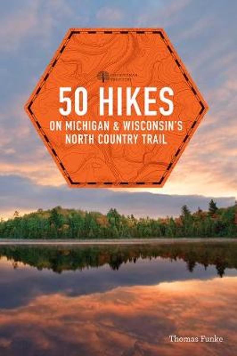
- 50 Hikes on Michigan & Wisconsin's North Country Trail
- In the same class as the Appalachian Trail, the North Country National Scenic Trail is over twice as long as its older cousin. 50 Hikes on Michigan & Wisconsin's North Country Trail is a guidebook for both the day hiker and the long-distance backpacker. With full-color maps and elevation profiles, it covers the certified trail on the ground as... Read more
- Also available from:
- Bol.com, Belgium
Bol.com
Belgium
Belgium
- 50 Hikes on Michigan & Wisconsin's North Country Trail
- In the same class as the Appalachian Trail, the North Country National Scenic Trail is over twice as long as its older cousin. 50 Hikes on Michigan & Wisconsin's North Country Trail is a guidebook for both the day hiker and the long-distance backpacker. With full-color maps and elevation profiles, it covers the certified trail on the ground as... Read more
Bol.com
Netherlands
Netherlands
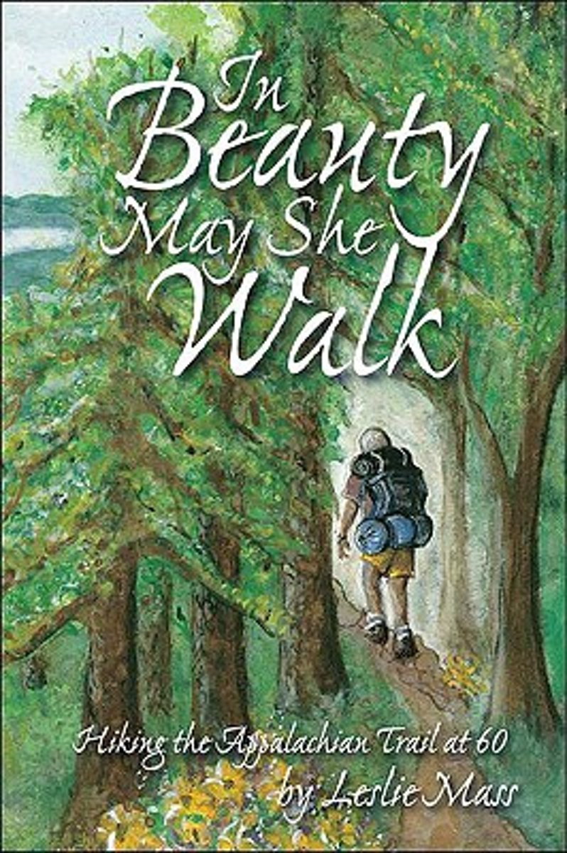
- In Beauty May She Walk
- In 2000, inspired by her father, Leslie Mass decided she would turn a lifelong fantasy into reality.At the age of 59, she began to train for a grueling journey, a thru-hike of the 2,000-mile Appalachian Trail. [i]In Beauty May She Walk[/i] chronicles Leslie's struggles and triumphs during her hike. On the trail, Leslie struggles with how to... Read more
- Also available from:
- Bol.com, Belgium
Bol.com
Belgium
Belgium
- In Beauty May She Walk
- In 2000, inspired by her father, Leslie Mass decided she would turn a lifelong fantasy into reality.At the age of 59, she began to train for a grueling journey, a thru-hike of the 2,000-mile Appalachian Trail. [i]In Beauty May She Walk[/i] chronicles Leslie's struggles and triumphs during her hike. On the trail, Leslie struggles with how to... Read more

Bol.com
Netherlands
Netherlands
- A Walk in the Woods
- In the company of his friend Stephen Katz (last seen in the bestselling Neither Here nor There), Bill Bryson set off to hike the Appalachian Trail, the longest continuous footpath in the world. Ahead lay almost 2,200 miles of remote mountain wilderness filled with bears, moose, bobcats, rattlesnakes, poisonous plants, disease-bearing tics, the... Read more
- Also available from:
- Bol.com, Belgium
Bol.com
Belgium
Belgium
- A Walk in the Woods
- In the company of his friend Stephen Katz (last seen in the bestselling Neither Here nor There), Bill Bryson set off to hike the Appalachian Trail, the longest continuous footpath in the world. Ahead lay almost 2,200 miles of remote mountain wilderness filled with bears, moose, bobcats, rattlesnakes, poisonous plants, disease-bearing tics, the... Read more

Bol.com
Netherlands
Netherlands
- The Longest Mile
- For nine days in early May, Ryan Watkins along with two brothers, Jeremy and Chris Jones, backpack the world-famous Appalachian Trail through the Great Smoky Mountains National Park. From his very first steps into the Smokies, Ryan quickly learns the seventy-mile stretch of trail is far more difficult than he ever imagined.The trio battles... Read more
- Also available from:
- Bol.com, Belgium
- The Book Depository, United Kingdom
Bol.com
Belgium
Belgium
- The Longest Mile
- For nine days in early May, Ryan Watkins along with two brothers, Jeremy and Chris Jones, backpack the world-famous Appalachian Trail through the Great Smoky Mountains National Park. From his very first steps into the Smokies, Ryan quickly learns the seventy-mile stretch of trail is far more difficult than he ever imagined.The trio battles... Read more

Kaarten
De Zwerver
Netherlands
Netherlands
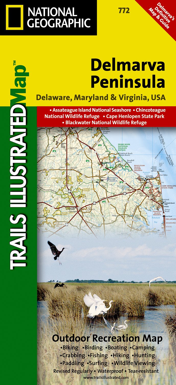
- Wandelkaart - Topografische kaart 772 Delmarva Peninsula | National Geographic
- Prachtige geplastificeerde kaart van het bekende nationaal park. Met alle recreatieve voorzieningen als campsites, maar ook met topografische details en wandelroutes ed. Door uitgekiend kleurgebruik zeer prettig in gebruik. Scheur en watervast! The new Delmarva Trails Illustrated regional topographic recreation map covers all major recreation... Read more
- Also available from:
- Stanfords, United Kingdom

Stanfords
United Kingdom
United Kingdom
- DelMarVa Peninsula - Delaware - Maryland - Virginia Recreational Map
- Map No. 772, DelMarVa Peninsula (Delaware, Maryland, Virginia) Recreational Map, in an extensive series of GPS compatible, contoured hiking maps of USA’s national and state parks or forests and other popular recreational areas. Cartography based on the national topographic survey, with additional tourist information.The maps, with most titles... Read more

Bol.com
Netherlands
Netherlands
- Springer & Cohutta Mountains, Chattahoochee National Forest
- Waterproof Tear-Resistant Topographic MapLocated just north of Atlanta, the Chattahoochee National Forest contains the southern terminus of the Appalachian Trail along with an abundance of recreational opportunities for outdoor enthusiasts of all interests.This detailed recreation map contains carefully researched trails, campsites,... Read more
- Also available from:
- Bol.com, Belgium
- Stanfords, United Kingdom
Bol.com
Belgium
Belgium
- Springer & Cohutta Mountains, Chattahoochee National Forest
- Waterproof Tear-Resistant Topographic MapLocated just north of Atlanta, the Chattahoochee National Forest contains the southern terminus of the Appalachian Trail along with an abundance of recreational opportunities for outdoor enthusiasts of all interests.This detailed recreation map contains carefully researched trails, campsites,... Read more

Stanfords
United Kingdom
United Kingdom
- Chattahoochee National Forest - Springer and Cohutta Mountains GA/SC 777
- Map No. 777, Chattahoochee National Forest: Springer and Cohutta Mountains, GA/SC, in an extensive series of GPS compatible, contoured hiking maps of USA’s national and state parks or forests and other popular recreational areas. Cartography based on the national topographic survey, with additional tourist information.The maps, with most titles... Read more

De Zwerver
Netherlands
Netherlands
- Wandelkaart - Topografische kaart 318 Mount Rogers High Country - Grayson Highlands State Park | National Geographic
- Prachtige geplastificeerde kaart van het bekende nationaal park. Met alle recreatieve voorzieningen als campsites, maar ook met topografische details en wandelroutes ed. Door uitgekiend kleurgebruik zeer prettig in gebruik. Scheur en watervast! National Geographic's Trails Illustrated map of Mount Rogers High Country and Grayson Highlands... Read more
- Also available from:
- Bol.com, Netherlands
- Bol.com, Belgium
- Stanfords, United Kingdom
- The Book Depository, United Kingdom

Bol.com
Netherlands
Netherlands
- Mount Rogers High Country
- Waterproof Tear-Resistant Topographic MapNational Geographic's Trails Illustrated map of Mount Rogers High Country and Grayson Highlands State Park, Southwest Virginia, is a two-sided, waterproof, topographic trail map designed to meet the needs of outdoor enthusiasts with unmatched durability and detail. This map was created in... Read more
Bol.com
Belgium
Belgium
- Mount Rogers High Country
- Waterproof Tear-Resistant Topographic MapNational Geographic's Trails Illustrated map of Mount Rogers High Country and Grayson Highlands State Park, Southwest Virginia, is a two-sided, waterproof, topographic trail map designed to meet the needs of outdoor enthusiasts with unmatched durability and detail. This map was created in... Read more

Stanfords
United Kingdom
United Kingdom
- Mount Rogers High Country VA
- Map No. 318 - Mount Rogers High Country in Virginia in an extensive series of GPS compatible, contoured hiking maps of USA’s national and state parks or forests and other popular recreational areas. Cartography based on the national topographic survey, with additional tourist information.The maps, with most titles now printed on light,... Read more

The Book Depository
United Kingdom
United Kingdom
- Mount Rogers High Country
- Trails Illustrated Other Rec. Areas Read more

De Zwerver
Netherlands
Netherlands
- Wandelkaart - Topografische kaart 747 Green Mountain National Forest North - Moosalamoo NRA - Rutland | National Geographic
- Prachtige geplastificeerde kaart van het bekende nationaal park. Met alle recreatieve voorzieningen als campsites, maar ook met topografische details en wandelroutes ed. Door uitgekiend kleurgebruik zeer prettig in gebruik. Scheur en watervast! National Geographic's Green Mountain National Forest North Trails Illustrated topographic map is... Read more
- Also available from:
- Bol.com, Netherlands
- Bol.com, Belgium
- Stanfords, United Kingdom
- The Book Depository, United Kingdom

Bol.com
Netherlands
Netherlands
- Green Mountains N.F., Moosalamoo NRA/Rutland
- Waterproof Tear-Resistant Topographic MapNational Geographic's Green Mountain National Forest North Trails Illustrated topographic map is the most comprehensive available for outdoor enthusiasts of all types. Designed to be easy-to-read, yet highly detailed this map includes a comprehensive road and trail network distinguishing between... Read more
Bol.com
Belgium
Belgium
- Green Mountains N.F., Moosalamoo NRA/Rutland
- Waterproof Tear-Resistant Topographic MapNational Geographic's Green Mountain National Forest North Trails Illustrated topographic map is the most comprehensive available for outdoor enthusiasts of all types. Designed to be easy-to-read, yet highly detailed this map includes a comprehensive road and trail network distinguishing between... Read more

Stanfords
United Kingdom
United Kingdom
- Green Mountain National Forest - Moosalamoo NRA - Rutland VT
- Map No. 747, Green Mountain National Forest: Moosalamoo NRA - Rutland area in Vermont, in an extensive series of GPS compatible, contoured hiking maps of USA’s national and state parks or forests and other popular recreational areas. Cartography based on the national topographic survey, with additional tourist information.The maps, with most... Read more

The Book Depository
United Kingdom
United Kingdom
- Green Mountains N.f., Moosalamoo Nra/rutland
- Trails Illustrated Other Rec. Areas Read more

De Zwerver
Netherlands
Netherlands
- Wandelkaart - Topografische kaart 316 Cades Cove - Elkmont - Great Smoky Mountains National Park | National Geographic
- Prachtige geplastificeerde kaart van het bekende nationaal park. Met alle recreatieve voorzieningen als campsites, maar ook met topografische details en wandelroutes ed. Door uitgekiend kleurgebruik zeer prettig in gebruik. Scheur en watervast! This title provides an increased scale of one of the most visited National Parks in the US, and one... Read more
- Also available from:
- Bol.com, Netherlands
- Bol.com, Belgium
- Stanfords, United Kingdom

Bol.com
Netherlands
Netherlands
- Cades Cove/elkmont, Great Smoky Mountains National Park
- Waterproof Tear-Resistant Topographic MapThis title provides an increased scale of one of the most visited National Parks in the US, and one of our more popular map titles. This increased scale will provide greater detail to the backcountry users and Appalachian Trail through-hikers.Park Introduction:Great Smoky Mountains National Park is... Read more
Bol.com
Belgium
Belgium
- Cades Cove/elkmont, Great Smoky Mountains National Park
- Waterproof Tear-Resistant Topographic MapThis title provides an increased scale of one of the most visited National Parks in the US, and one of our more popular map titles. This increased scale will provide greater detail to the backcountry users and Appalachian Trail through-hikers.Park Introduction:Great Smoky Mountains National Park is... Read more

Stanfords
United Kingdom
United Kingdom
- Cades Cove - Elkmont - Great Smoky Mountains National Park NC/TN
- Map No. 316, Great Smoky Mountains National Park: Cades Cove - Elkmont, NC/TN, in an extensive series of GPS compatible, contoured hiking maps of USA’s national and state parks or forests and other popular recreational areas. Cartography based on the national topographic survey, with additional tourist information.The maps, with most titles now... Read more
Bol.com
Netherlands
Netherlands
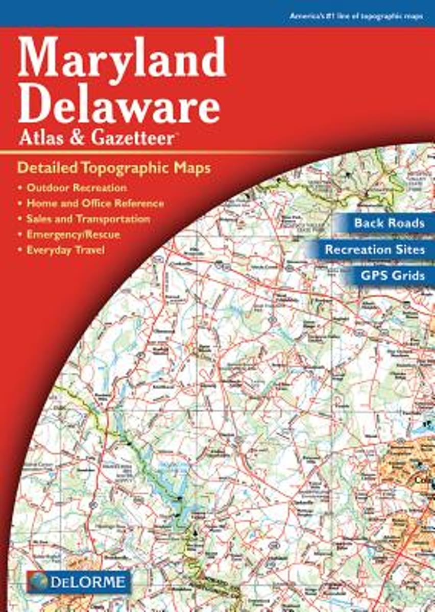
- Maryland-Delaware
- A uniquely useful resource, the Atlas & Gazetteer* Series is great for information on camping, hiking, fishing, hunting, bike and motorcycle touring, birdwatching, back road exploration, and more. A guide is available for all 50 American states. Read more
- Also available from:
- Bol.com, Belgium
- Stanfords, United Kingdom
Bol.com
Belgium
Belgium
- Maryland-Delaware
- A uniquely useful resource, the Atlas & Gazetteer* Series is great for information on camping, hiking, fishing, hunting, bike and motorcycle touring, birdwatching, back road exploration, and more. A guide is available for all 50 American states. Read more

Stanfords
United Kingdom
United Kingdom
- Maryland & Delaware Recreationa Atlas & Gazetteer
- Maryland and Delaware Recreational Atlas & Gazetteer at 1:100,000 approx. in a series of large format paperback state atlases from DeLorme, with detailed, contoured, GPS compatible topographic mapping. Additional maps provide information on the ecology of the Chesapeake Bay, showing habitats of blue crab, eastern oyster, plus hard and soft... Read more