
Appalachian Trail
Beschrijving
- Name Appalachian Trail (AT)
- Lengte van pad 3,476 km, 2,160 mijl
- Lengte in dagen 180 dagen
- Traildino graad SW, Inspannende wandeling, bergpad
- Huttentrektocht graad T2, Bergtocht
 The Appalachian Trail is the oldest and most famous long distance hike in the U.S. It follows the Appalachian mountain range through 14 eastern states. An estimated 10,000 thru-hikers have finished the Appalachian Trail. It is possible to thru-hike it in one season. The 2160 miles (3480 km) can be completed in 47 days, 13 hours and 31 minutes (Andrew Thompson did it in 2005).
Kaart


Links
Feiten
Verslagen
Gidsen en kaarten
Overnachting
Organisaties
Reisorganisaties
GPS
Anders
Boeken

De Zwerver
Netherlands
Netherlands

De Zwerver
Netherlands
2018
Netherlands
2018
- Wandelgids USA: Appalachian Trail | Conrad Stein Verlag
- Handzame overzichtsgids van deze geweldige en uitdagende lange afstands wandeling in het oosten van de USA: de Appalachian Trail. Het is een ideale gids om de hele tocht voor te bereiden en als basisgids bij je te hebben. Goede beschrijvingen van etappes en veel praktische informatie. Het enige wat mager is zijn dekaarten: goed voor overzicht... Read more

Bol.com
Netherlands
Netherlands
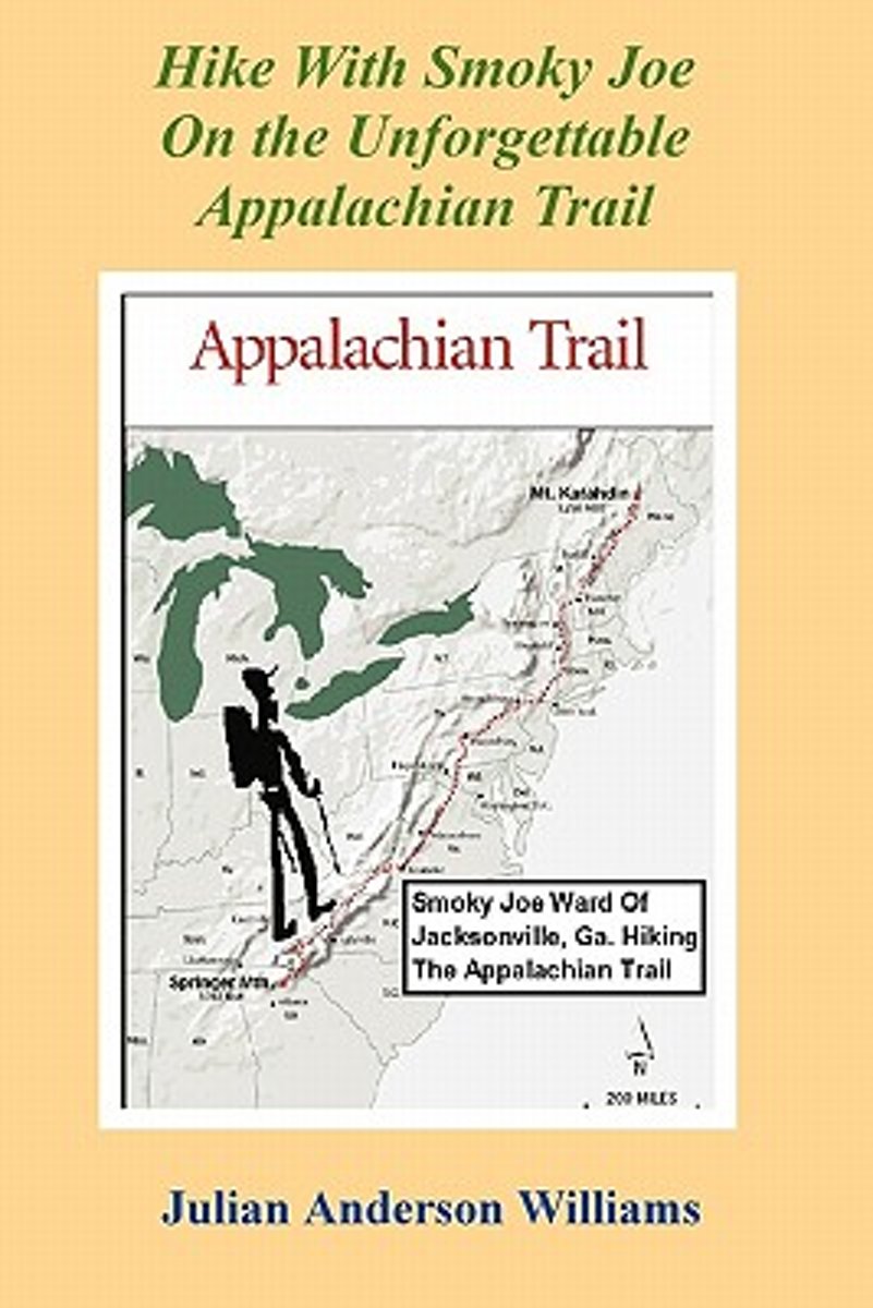
- Hike with Smoky Joe on the Unforgettable Appalachian Trail
- Williams chronicles Smoky Joe Ward's adventures along the Appalachian Trail. 186 pp. Read more
- Also available from:
- Bol.com, Belgium
Bol.com
Belgium
Belgium
- Hike with Smoky Joe on the Unforgettable Appalachian Trail
- Williams chronicles Smoky Joe Ward's adventures along the Appalachian Trail. 186 pp. Read more
Bol.com
Netherlands
Netherlands
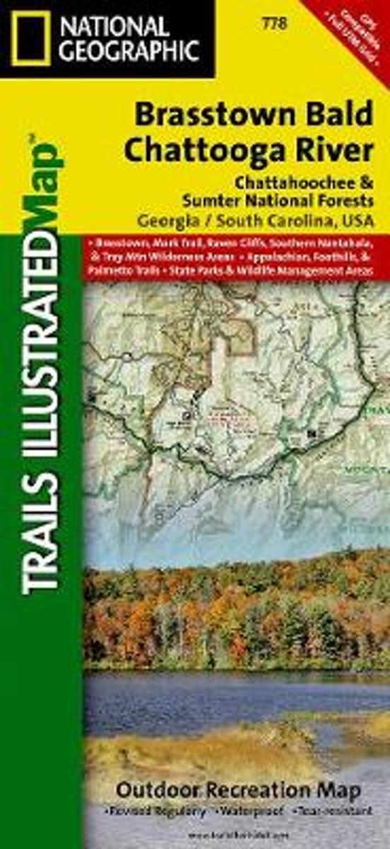
- Brasstown Bald/chattooga River, Chattahoochee National Forest
- Waterproof Tear-Resistant Topographic MapLocated just north of Atlanta, the Chattahoochee National Forest contains the southern terminus of the Appalachian Trail along with an abundance of recreational opportunities for outdoor enthusiasts of all interests.This recreation map contains carefully researched trails, campsites, forest service... Read more
- Also available from:
- Bol.com, Belgium
- Stanfords, United Kingdom
- The Book Depository, United Kingdom
Bol.com
Belgium
Belgium
- Brasstown Bald/chattooga River, Chattahoochee National Forest
- Waterproof Tear-Resistant Topographic MapLocated just north of Atlanta, the Chattahoochee National Forest contains the southern terminus of the Appalachian Trail along with an abundance of recreational opportunities for outdoor enthusiasts of all interests.This recreation map contains carefully researched trails, campsites, forest service... Read more

Stanfords
United Kingdom
United Kingdom
- Chattahoochee National Forest - Brasstown Bald - Chattooga River GA/SC
- Map No. 778, Chattahoochee National Forest: Brasstown Bald - Chattooga River, GA/SC, in an extensive series of GPS compatible, contoured hiking maps of USA’s national and state parks or forests and other popular recreational areas. Cartography based on the national topographic survey, with additional tourist information.The maps, with most... Read more

The Book Depository
United Kingdom
United Kingdom
- Brasstown Bald/chattooga River, Chattahoochee National Forest
- Trails Illustrated Other Rec. Areas Read more
Bol.com
Netherlands
Netherlands
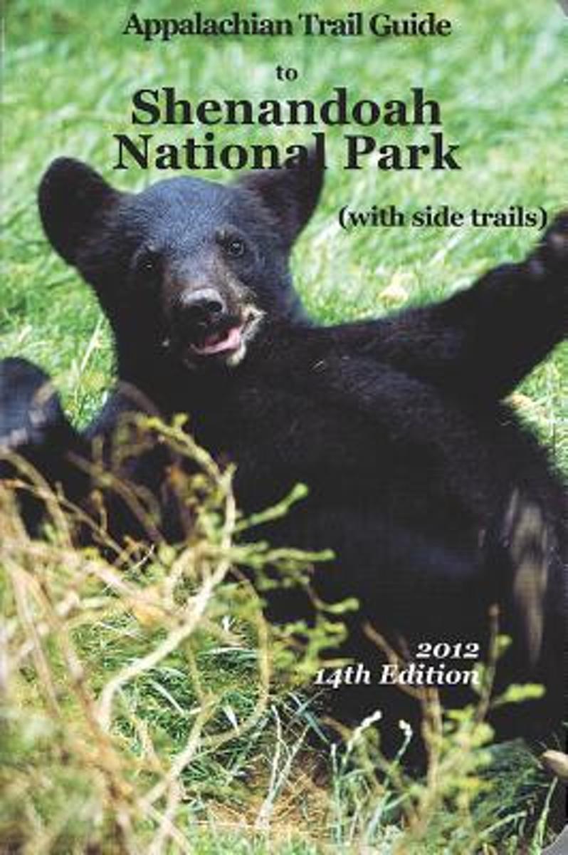
- Appalachian Trail Guide to Shenandoah National Park
- This is the official guide to the 107 miles of the Appalachian Trail that bisect Shenandoah National Park (the route of Skyline Drive, renowned for fall drives, was the original route of the A.T.). This book includes background information and trail-route descriptions for the A.T., as well as descriptions for about 400 miles of popular side... Read more
- Also available from:
- Bol.com, Belgium
Bol.com
Belgium
Belgium
- Appalachian Trail Guide to Shenandoah National Park
- This is the official guide to the 107 miles of the Appalachian Trail that bisect Shenandoah National Park (the route of Skyline Drive, renowned for fall drives, was the original route of the A.T.). This book includes background information and trail-route descriptions for the A.T., as well as descriptions for about 400 miles of popular side... Read more
Bol.com
Netherlands
Netherlands
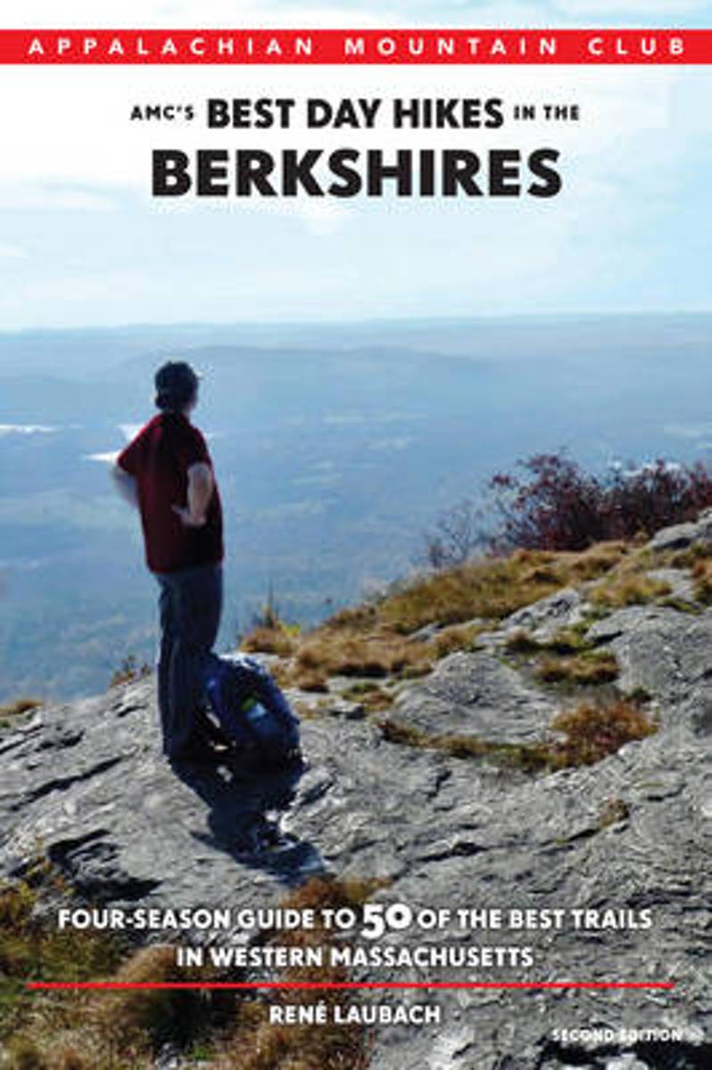
- Amc's Best Day Hikes in the Berkshires
- Discover 50 of the most impressive trails in the Berkshires, home of the Appalachian Trail in Massachusetts. Ideal for families, nature lovers, and hiking enthusiasts, this fully revised and updated guide will lead you through the region s scenic natural areas, past historic landmarks, and up to some of the state s best vistas. The hikes... Read more
- Also available from:
- Bol.com, Belgium
Bol.com
Belgium
Belgium
- Amc's Best Day Hikes in the Berkshires
- Discover 50 of the most impressive trails in the Berkshires, home of the Appalachian Trail in Massachusetts. Ideal for families, nature lovers, and hiking enthusiasts, this fully revised and updated guide will lead you through the region s scenic natural areas, past historic landmarks, and up to some of the state s best vistas. The hikes... Read more
Bol.com
Netherlands
Netherlands
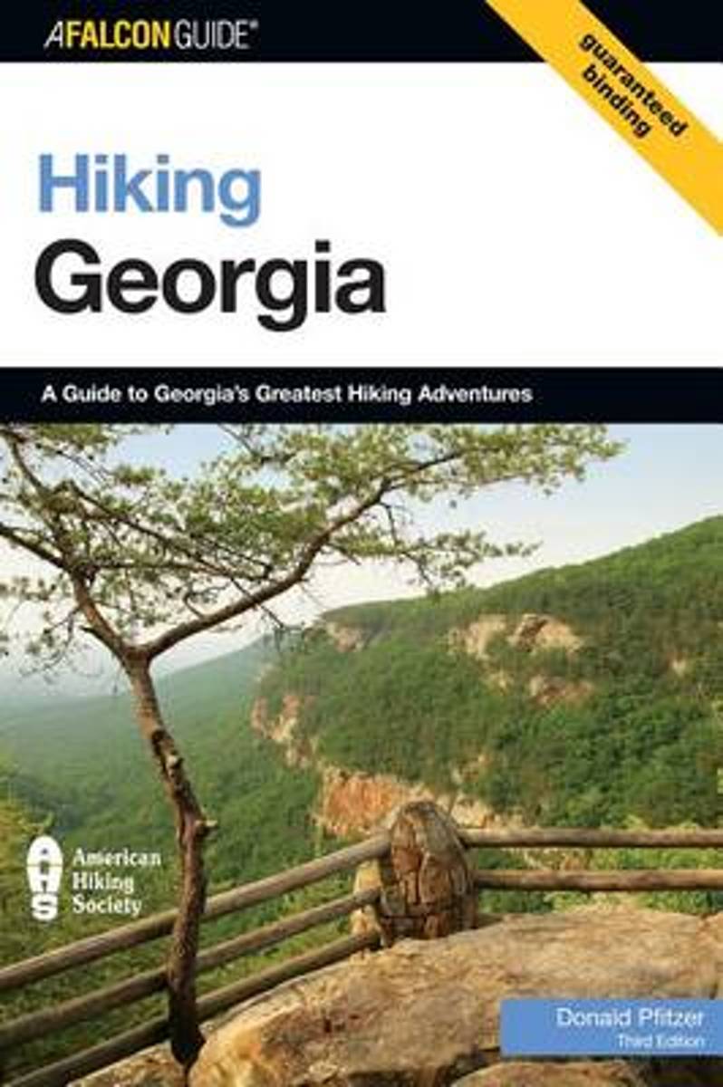
- Hiking Georgia
- Hiking Georgia features more than one hundred trails from the Blue Ridge Mountains to the Piedmont and Coastal Plain. It also includes easy one-hour strolls along quiet nature trails, a trek along 80 miles of the Appalachian Trail, and medium-distance trails that suit many hikers. Read more
- Also available from:
- Bol.com, Belgium
Bol.com
Belgium
Belgium
- Hiking Georgia
- Hiking Georgia features more than one hundred trails from the Blue Ridge Mountains to the Piedmont and Coastal Plain. It also includes easy one-hour strolls along quiet nature trails, a trek along 80 miles of the Appalachian Trail, and medium-distance trails that suit many hikers. Read more

Bol.com
Netherlands
Netherlands
- Finding Tarzan
- Engaged to be married and overweight, Jamie sets out to hike the Appalachian Trail not only to lose weight but to find herself. Her passion for hiking brought her to Georgia where she started her Flip Flop Style hike of the 2,100-mile trail. She soon finds her self in love in more than one way. A hiker named Tarzan helps her discover herself... Read more
- Also available from:
- Bol.com, Belgium
- The Book Depository, United Kingdom
Bol.com
Belgium
Belgium
- Finding Tarzan
- Engaged to be married and overweight, Jamie sets out to hike the Appalachian Trail not only to lose weight but to find herself. Her passion for hiking brought her to Georgia where she started her Flip Flop Style hike of the 2,100-mile trail. She soon finds her self in love in more than one way. A hiker named Tarzan helps her discover herself... Read more

The Book Depository
United Kingdom
United Kingdom
- Finding Tarzan
- Discovering true love on the Appalachian Trail Read more
Bol.com
Netherlands
Netherlands
- Triple Crown of Hiking [In Gift Box]
- The United States has numerous long distance trails but three trails have risen to the top of the consciousness of the hiking community. These are the Appalachian Trail at 2,200 miles, the Pacific Crest Trail at 2,700 miles and the Contental Divide Trail at 3,100 miles. Added together these three trails cover almost 8,000 miles of the most... Read more
- Also available from:
- Bol.com, Belgium
Bol.com
Belgium
Belgium
- Triple Crown of Hiking [In Gift Box]
- The United States has numerous long distance trails but three trails have risen to the top of the consciousness of the hiking community. These are the Appalachian Trail at 2,200 miles, the Pacific Crest Trail at 2,700 miles and the Contental Divide Trail at 3,100 miles. Added together these three trails cover almost 8,000 miles of the most... Read more

Bol.com
Netherlands
Netherlands
- Solemates
- WINNER OF THE COVETED 2011 NATIONAL INDIE EXCELLENCE BOOK AWARD!What happens when a middle-aged couple with no previous backpacking experience, decides to test their 14-year marriage and spend six months hiking the Appalachian Trail from Georgia to Maine in one continuous hike? Will their motto of "Quitting is not an option" be a blessing or a... Read more
- Also available from:
- Bol.com, Belgium
Bol.com
Belgium
Belgium
- Solemates
- WINNER OF THE COVETED 2011 NATIONAL INDIE EXCELLENCE BOOK AWARD!What happens when a middle-aged couple with no previous backpacking experience, decides to test their 14-year marriage and spend six months hiking the Appalachian Trail from Georgia to Maine in one continuous hike? Will their motto of "Quitting is not an option" be a blessing or a... Read more
Bol.com
Netherlands
Netherlands
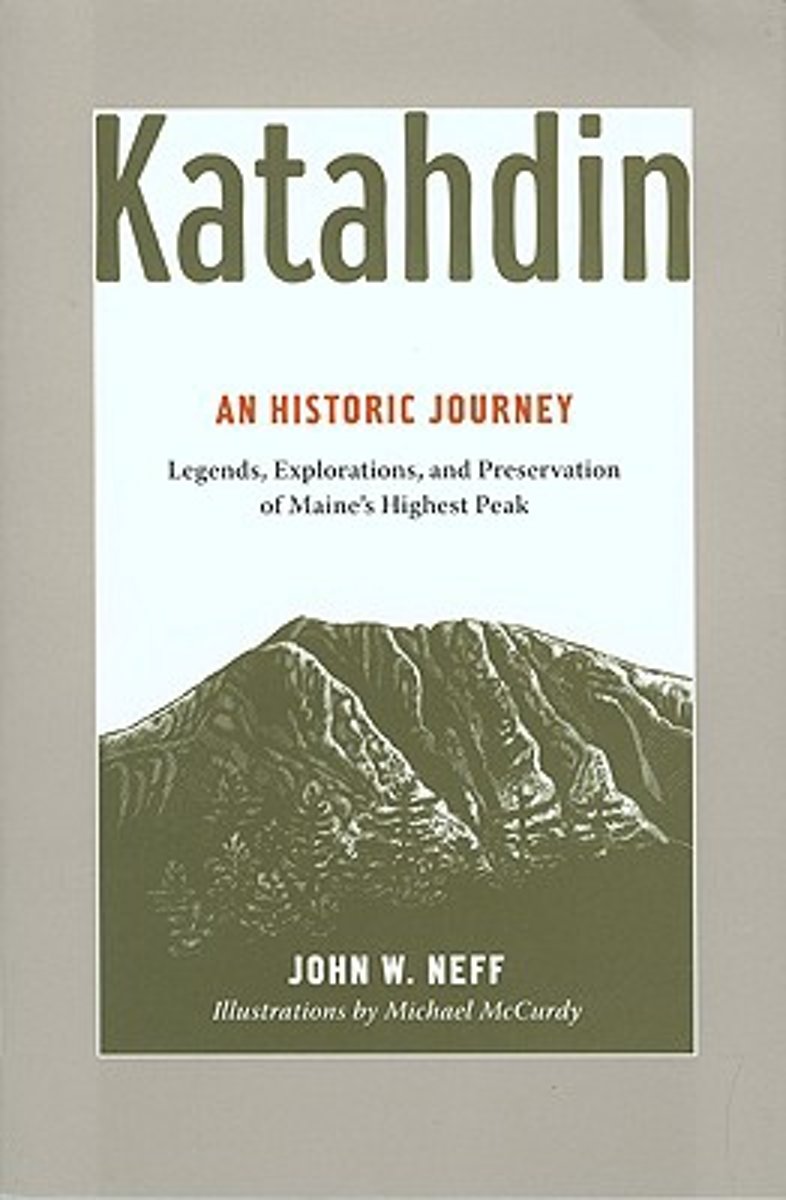
- Katahdin
- For millennia, Mount Katahdin has loomed over the changing landscape we now call Maine's North Woods, inspiring and challenging people, from the Native Americans whose trade routes rounded its base; to Henry David Thoreau and Governor Percival P. Baxter, who forged new approaches to nature and conservation; to the hundreds of outdoorspeople who... Read more
- Also available from:
- Bol.com, Belgium
Bol.com
Belgium
Belgium
- Katahdin
- For millennia, Mount Katahdin has loomed over the changing landscape we now call Maine's North Woods, inspiring and challenging people, from the Native Americans whose trade routes rounded its base; to Henry David Thoreau and Governor Percival P. Baxter, who forged new approaches to nature and conservation; to the hundreds of outdoorspeople who... Read more
Bol.com
Netherlands
Netherlands
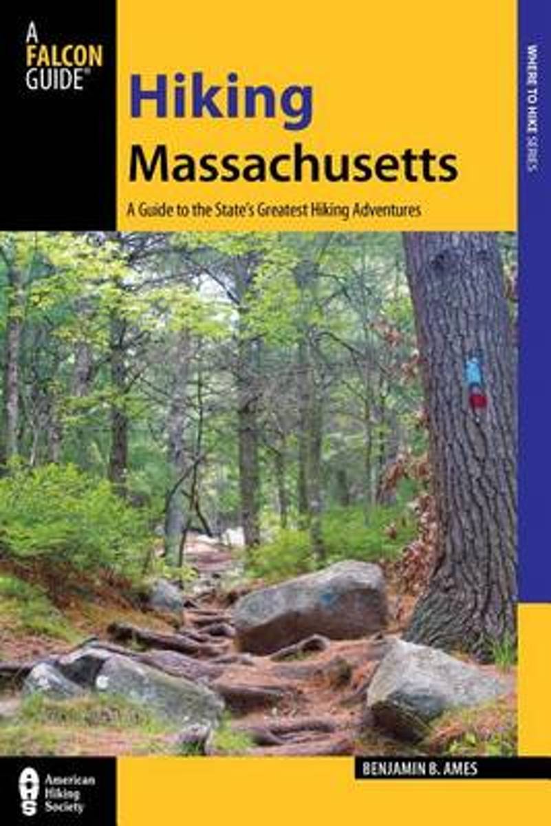
- Hiking Massachusetts
- Lace up your boots and sample 50 of the finest trails Massachusetts has to offer. This hiker's paradise offers not only mountaintop vistas but also historic landmarks and pristine seashore. Hike along cranberry bogs in Massasoit State Park, trace the edge of a cliff overlooking the Merrimack River in Maudslay State Park, follow the Appalachian... Read more
- Also available from:
- Bol.com, Belgium
- The Book Depository, United Kingdom
Bol.com
Belgium
Belgium
- Hiking Massachusetts
- Lace up your boots and sample 50 of the finest trails Massachusetts has to offer. This hiker's paradise offers not only mountaintop vistas but also historic landmarks and pristine seashore. Hike along cranberry bogs in Massasoit State Park, trace the edge of a cliff overlooking the Merrimack River in Maudslay State Park, follow the Appalachian... Read more

The Book Depository
United Kingdom
United Kingdom
- Hiking Massachusetts
- A Guide To The State's Greatest Hiking Adventures Read more

Bol.com
Netherlands
Netherlands
- To the Woods
- The Appalachian Trail is a long-distance hiking trail from Georgia to Maine in the USA. It passes through 14 States and is typically completed in 4-6 months. Those who seek to do it all in one shot are known as thru hikers. Some 15-20% of those who start will finish.I hiked the 2,160 Trail over 6 months to celebrate an important birthday and to... Read more
- Also available from:
- Bol.com, Belgium
Bol.com
Belgium
Belgium
- To the Woods
- The Appalachian Trail is a long-distance hiking trail from Georgia to Maine in the USA. It passes through 14 States and is typically completed in 4-6 months. Those who seek to do it all in one shot are known as thru hikers. Some 15-20% of those who start will finish.I hiked the 2,160 Trail over 6 months to celebrate an important birthday and to... Read more
De Zwerver
Netherlands
Netherlands
- Also available from:
- Bol.com, Netherlands
- Bol.com, Belgium
Bol.com
Netherlands
Netherlands
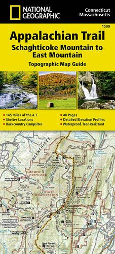
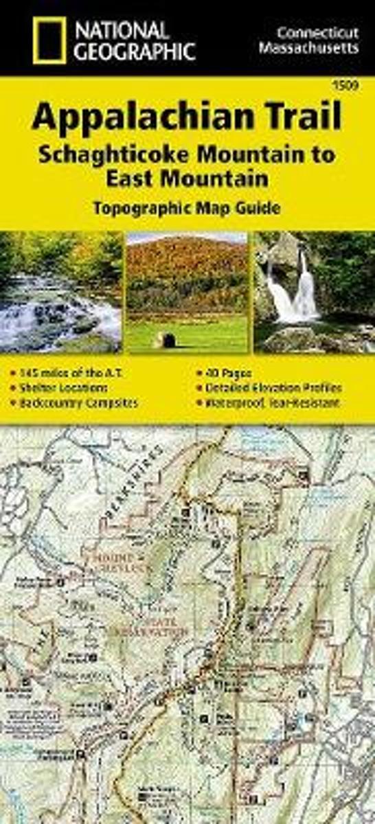
- Appalachian Trail, Schaghticoke Mountain To East Mountain, Connecticut, Massachusetts
- Waterproof Tear-Resistant Topographic Map GuideThe Schaghticoke Mountain to East MountainTopographic Map Guide makes a perfect traveling companion when traversing the Connecticut and Massachusetts sections of the Appalachian Trail (A.T.). The trail in this section of New England skirts the northwest corner of Connecticut and traverses... Read more
Bol.com
Belgium
Belgium
- Appalachian Trail, Schaghticoke Mountain To East Mountain, Connecticut, Massachusetts
- Waterproof Tear-Resistant Topographic Map GuideThe Schaghticoke Mountain to East MountainTopographic Map Guide makes a perfect traveling companion when traversing the Connecticut and Massachusetts sections of the Appalachian Trail (A.T.). The trail in this section of New England skirts the northwest corner of Connecticut and traverses... Read more
Kaarten

Bol.com
Netherlands
Netherlands
- Springer & Cohutta Mountains, Chattahoochee National Forest
- Waterproof Tear-Resistant Topographic MapLocated just north of Atlanta, the Chattahoochee National Forest contains the southern terminus of the Appalachian Trail along with an abundance of recreational opportunities for outdoor enthusiasts of all interests.This detailed recreation map contains carefully researched trails, campsites,... Read more
- Also available from:
- Bol.com, Belgium
- Stanfords, United Kingdom
Bol.com
Belgium
Belgium
- Springer & Cohutta Mountains, Chattahoochee National Forest
- Waterproof Tear-Resistant Topographic MapLocated just north of Atlanta, the Chattahoochee National Forest contains the southern terminus of the Appalachian Trail along with an abundance of recreational opportunities for outdoor enthusiasts of all interests.This detailed recreation map contains carefully researched trails, campsites,... Read more

Stanfords
United Kingdom
United Kingdom
- Chattahoochee National Forest - Springer and Cohutta Mountains GA/SC 777
- Map No. 777, Chattahoochee National Forest: Springer and Cohutta Mountains, GA/SC, in an extensive series of GPS compatible, contoured hiking maps of USA’s national and state parks or forests and other popular recreational areas. Cartography based on the national topographic survey, with additional tourist information.The maps, with most titles... Read more

De Zwerver
Netherlands
Netherlands
- Wandelkaart - Topografische kaart 318 Mount Rogers High Country - Grayson Highlands State Park | National Geographic
- Prachtige geplastificeerde kaart van het bekende nationaal park. Met alle recreatieve voorzieningen als campsites, maar ook met topografische details en wandelroutes ed. Door uitgekiend kleurgebruik zeer prettig in gebruik. Scheur en watervast! National Geographic's Trails Illustrated map of Mount Rogers High Country and Grayson Highlands... Read more
- Also available from:
- Bol.com, Netherlands
- Bol.com, Belgium
- Stanfords, United Kingdom
- The Book Depository, United Kingdom

Bol.com
Netherlands
Netherlands
- Mount Rogers High Country
- Waterproof Tear-Resistant Topographic MapNational Geographic's Trails Illustrated map of Mount Rogers High Country and Grayson Highlands State Park, Southwest Virginia, is a two-sided, waterproof, topographic trail map designed to meet the needs of outdoor enthusiasts with unmatched durability and detail. This map was created in... Read more
Bol.com
Belgium
Belgium
- Mount Rogers High Country
- Waterproof Tear-Resistant Topographic MapNational Geographic's Trails Illustrated map of Mount Rogers High Country and Grayson Highlands State Park, Southwest Virginia, is a two-sided, waterproof, topographic trail map designed to meet the needs of outdoor enthusiasts with unmatched durability and detail. This map was created in... Read more

Stanfords
United Kingdom
United Kingdom
- Mount Rogers High Country VA
- Map No. 318 - Mount Rogers High Country in Virginia in an extensive series of GPS compatible, contoured hiking maps of USA’s national and state parks or forests and other popular recreational areas. Cartography based on the national topographic survey, with additional tourist information.The maps, with most titles now printed on light,... Read more

The Book Depository
United Kingdom
United Kingdom
- Mount Rogers High Country
- Trails Illustrated Other Rec. Areas Read more

De Zwerver
Netherlands
Netherlands
- Wandelkaart - Topografische kaart 747 Green Mountain National Forest North - Moosalamoo NRA - Rutland | National Geographic
- Prachtige geplastificeerde kaart van het bekende nationaal park. Met alle recreatieve voorzieningen als campsites, maar ook met topografische details en wandelroutes ed. Door uitgekiend kleurgebruik zeer prettig in gebruik. Scheur en watervast! National Geographic's Green Mountain National Forest North Trails Illustrated topographic map is... Read more
- Also available from:
- Bol.com, Netherlands
- Bol.com, Belgium
- Stanfords, United Kingdom
- The Book Depository, United Kingdom

Bol.com
Netherlands
Netherlands
- Green Mountains N.F., Moosalamoo NRA/Rutland
- Waterproof Tear-Resistant Topographic MapNational Geographic's Green Mountain National Forest North Trails Illustrated topographic map is the most comprehensive available for outdoor enthusiasts of all types. Designed to be easy-to-read, yet highly detailed this map includes a comprehensive road and trail network distinguishing between... Read more
Bol.com
Belgium
Belgium
- Green Mountains N.F., Moosalamoo NRA/Rutland
- Waterproof Tear-Resistant Topographic MapNational Geographic's Green Mountain National Forest North Trails Illustrated topographic map is the most comprehensive available for outdoor enthusiasts of all types. Designed to be easy-to-read, yet highly detailed this map includes a comprehensive road and trail network distinguishing between... Read more

Stanfords
United Kingdom
United Kingdom
- Green Mountain National Forest - Moosalamoo NRA - Rutland VT
- Map No. 747, Green Mountain National Forest: Moosalamoo NRA - Rutland area in Vermont, in an extensive series of GPS compatible, contoured hiking maps of USA’s national and state parks or forests and other popular recreational areas. Cartography based on the national topographic survey, with additional tourist information.The maps, with most... Read more

The Book Depository
United Kingdom
United Kingdom
- Green Mountains N.f., Moosalamoo Nra/rutland
- Trails Illustrated Other Rec. Areas Read more

De Zwerver
Netherlands
Netherlands
- Wandelkaart - Topografische kaart 316 Cades Cove - Elkmont - Great Smoky Mountains National Park | National Geographic
- Prachtige geplastificeerde kaart van het bekende nationaal park. Met alle recreatieve voorzieningen als campsites, maar ook met topografische details en wandelroutes ed. Door uitgekiend kleurgebruik zeer prettig in gebruik. Scheur en watervast! This title provides an increased scale of one of the most visited National Parks in the US, and one... Read more
- Also available from:
- Bol.com, Netherlands
- Bol.com, Belgium
- Stanfords, United Kingdom

Bol.com
Netherlands
Netherlands
- Cades Cove/elkmont, Great Smoky Mountains National Park
- Waterproof Tear-Resistant Topographic MapThis title provides an increased scale of one of the most visited National Parks in the US, and one of our more popular map titles. This increased scale will provide greater detail to the backcountry users and Appalachian Trail through-hikers.Park Introduction:Great Smoky Mountains National Park is... Read more
Bol.com
Belgium
Belgium
- Cades Cove/elkmont, Great Smoky Mountains National Park
- Waterproof Tear-Resistant Topographic MapThis title provides an increased scale of one of the most visited National Parks in the US, and one of our more popular map titles. This increased scale will provide greater detail to the backcountry users and Appalachian Trail through-hikers.Park Introduction:Great Smoky Mountains National Park is... Read more

Stanfords
United Kingdom
United Kingdom
- Cades Cove - Elkmont - Great Smoky Mountains National Park NC/TN
- Map No. 316, Great Smoky Mountains National Park: Cades Cove - Elkmont, NC/TN, in an extensive series of GPS compatible, contoured hiking maps of USA’s national and state parks or forests and other popular recreational areas. Cartography based on the national topographic survey, with additional tourist information.The maps, with most titles now... Read more