
Washington
Beschrijving
Washington, bordering on Canada and the Pacific Ocean, is very scenic. The Cascades run from north to south, and are covered by the long and strenuous Pacific Crest Trail.
This wilderness counts a string of national forests and parks, with many thousands of miles of trails. Best are Wenatchee National Forest, Mount Baker-Snoqualmie National Forest. Okanogan National Forest, Gifford Pinchot National Forest, Mount Rainier National Park with its 93 mile circular Wonderland Trail, North Cascades National Park and Colville National Forest.
A different and very scenic part of Washington is the Olympic Peninsula, with its National Park and National Forest.
Finally, we should mention the American Discovery Trail and Pacific Northwest Trail.
Kaart

Paden in deze landsdeel
Links
Feiten
Verslagen
Gidsen en kaarten
Overnachting
Organisaties
Reisorganisaties
GPS
Anders
Boeken
De Zwerver
Netherlands
2020
Netherlands
2020
De Zwerver
Netherlands
2018
Netherlands
2018
- Reisgids Explore Washington DC | Insight Guides
- Insight Guides Explore: pocket-sized books to inspire your on-foot exploration of top international destinations. Now with free eBook. Practical, pocket-sized and packed with inspirational insider information, this will make the ideal on-the-move companion to your trip to Washington, DC Enjoy over 12 irresistible Best Routes to walk, from The... Read more
De Zwerver
Netherlands
2022
Netherlands
2022
- Reisgids Eyewitness Travel USA- Canada the Pacific Northwest | Dorling Kindersley
- Marrying vibrant cities with impeccable wilderness, the Pacific Northwest is as rich as it is diverse.Whether you want to drive along epic coastal highways, hike the pristine paths of Yoho National Park, or tuck into succulent street food in Portland, your DK Eyewitness travel guide makes sure you experience all that the Pacific Northwest has... Read more
- Also available from:
- Stanfords, United Kingdom

Stanfords
United Kingdom
2022
United Kingdom
2022
- DK Eyewitness Pacific Northwest
- Marrying vibrant cities with impeccable wilderness, the Pacific Northwest is as rich as it is diverse.Whether you want to drive along epic coastal highways, hike the pristine paths of Yoho National Park, or tuck into succulent street food in Portland, your DK Eyewitness travel guide makes sure you experience all that the Pacific Northwest has... Read more


De Zwerver
Netherlands
Netherlands
- Reisverhaal Six Months With Three Pairs Of Undies | André De Jel, Lian De Jel
- The Pacific Crest Trail Read more

De Zwerver
Netherlands
2018
Netherlands
2018
De Zwerver
Netherlands
2020
Netherlands
2020
De Zwerver
Netherlands
2020
Netherlands
2020
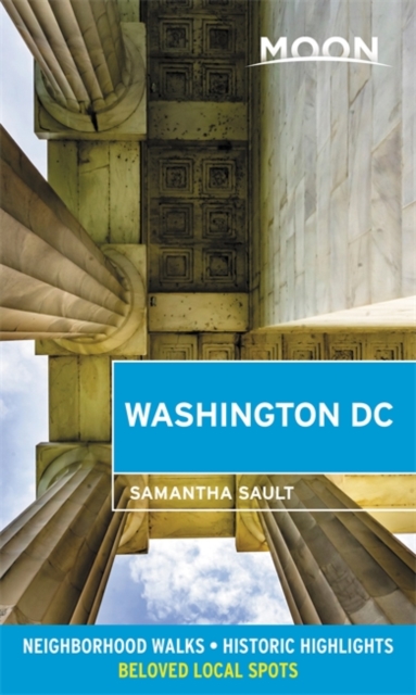
- Reisgids Washington DC | Moon Travel Guides
- From strolling the National Mall to hobnobbing at happy hour, get to know the nation`s capital with Moon Washington DC. *Navigate the Neighbourhoods: Follow one of our guided neighbourhood walks through the National Mall, Dupont Circle, U Street, and more*Explore the City: Snap the perfect photo of the Washington Monument, stand where MLK... Read more
- Also available from:
- Stanfords, United Kingdom

Stanfords
United Kingdom
2020
United Kingdom
2020
- Moon Washington DC (Second Edition): Neighborhood Walks, Historic Highlights, Beloved Local Spots
- From strolling the National Mall to hobnobbing at happy hour, get to know the nation`s capital with Moon Washington DC. *Navigate the Neighbourhoods: Follow one of our guided neighbourhood walks through the National Mall, Dupont Circle, U Street, and more*Explore the City: Snap the perfect photo of the Washington Monument, stand where MLK... Read more


Bol.com
Netherlands
Netherlands
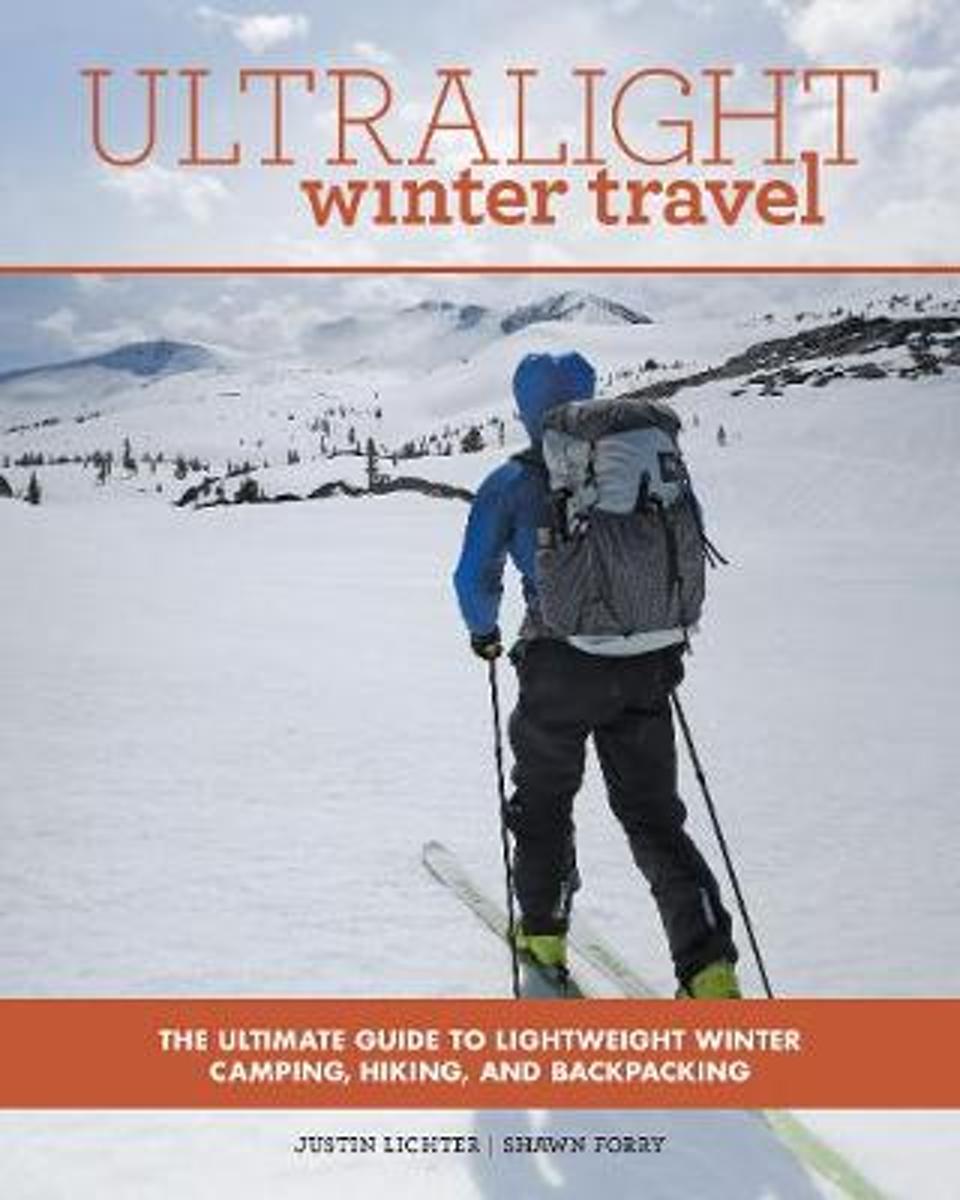
- Ultralight Winter Travel
- The key to winter travel is knowing how to travel as light as possible. The Ultralight series is perfect for both beginner and experts alike as Justin Lichter and Shawn Forry, the first ever winter thru-hikers of the Pacific Crest Trail, use their knowledge to form the most comprehensive companion for traveling farther with less weight.... Read more
- Also available from:
- Bol.com, Belgium
- The Book Depository, United Kingdom
Bol.com
Belgium
Belgium
- Ultralight Winter Travel
- The key to winter travel is knowing how to travel as light as possible. The Ultralight series is perfect for both beginner and experts alike as Justin Lichter and Shawn Forry, the first ever winter thru-hikers of the Pacific Crest Trail, use their knowledge to form the most comprehensive companion for traveling farther with less weight.... Read more

The Book Depository
United Kingdom
United Kingdom
- Ultralight Winter Travel
- The Ultimate Guide to Lightweight Winter Camping, Hiking, and Backpacking Read more
Bol.com
Netherlands
Netherlands
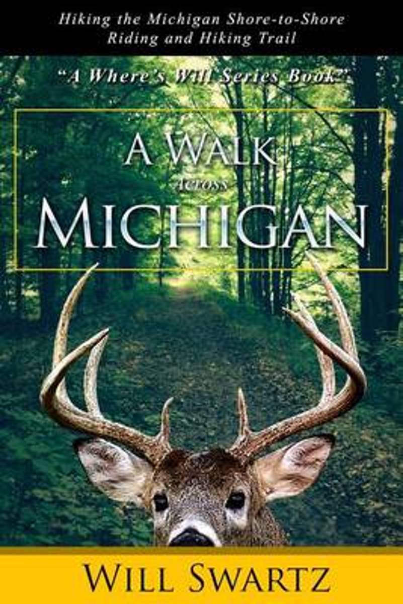
- A Walk Across Michigan
- "Hey ----Aren't you supposed to be working? " And yet, here you are searching for another good book to read ---in the hiking section of all places. Does that mean you've thought about going on a backpacking adventure of your own, like all the people who through-hike the Appalachian Trail (AT)? Me too. Do you long to reconnect with America,... Read more
- Also available from:
- Bol.com, Belgium
Bol.com
Belgium
Belgium
- A Walk Across Michigan
- "Hey ----Aren't you supposed to be working? " And yet, here you are searching for another good book to read ---in the hiking section of all places. Does that mean you've thought about going on a backpacking adventure of your own, like all the people who through-hike the Appalachian Trail (AT)? Me too. Do you long to reconnect with America,... Read more

Bol.com
Netherlands
Netherlands
- An Ultralighter's True Trail Stories
- Book two in the Journey series, this volume is filled with stories and ultralight backpacking tips from Carol "Brawny" Wellman. Trail descriptions for the Pacific Crest Trail, Appalachian Trail, John Muir Trail, Continental Divide Trail, Colorado Trail, Vermont Trail, Bartram Trail, including trail guide, plus the Foothills Trail. Learn how to... Read more
- Also available from:
- Bol.com, Belgium
Bol.com
Belgium
Belgium
- An Ultralighter's True Trail Stories
- Book two in the Journey series, this volume is filled with stories and ultralight backpacking tips from Carol "Brawny" Wellman. Trail descriptions for the Pacific Crest Trail, Appalachian Trail, John Muir Trail, Continental Divide Trail, Colorado Trail, Vermont Trail, Bartram Trail, including trail guide, plus the Foothills Trail. Learn how to... Read more
Bol.com
Netherlands
Netherlands
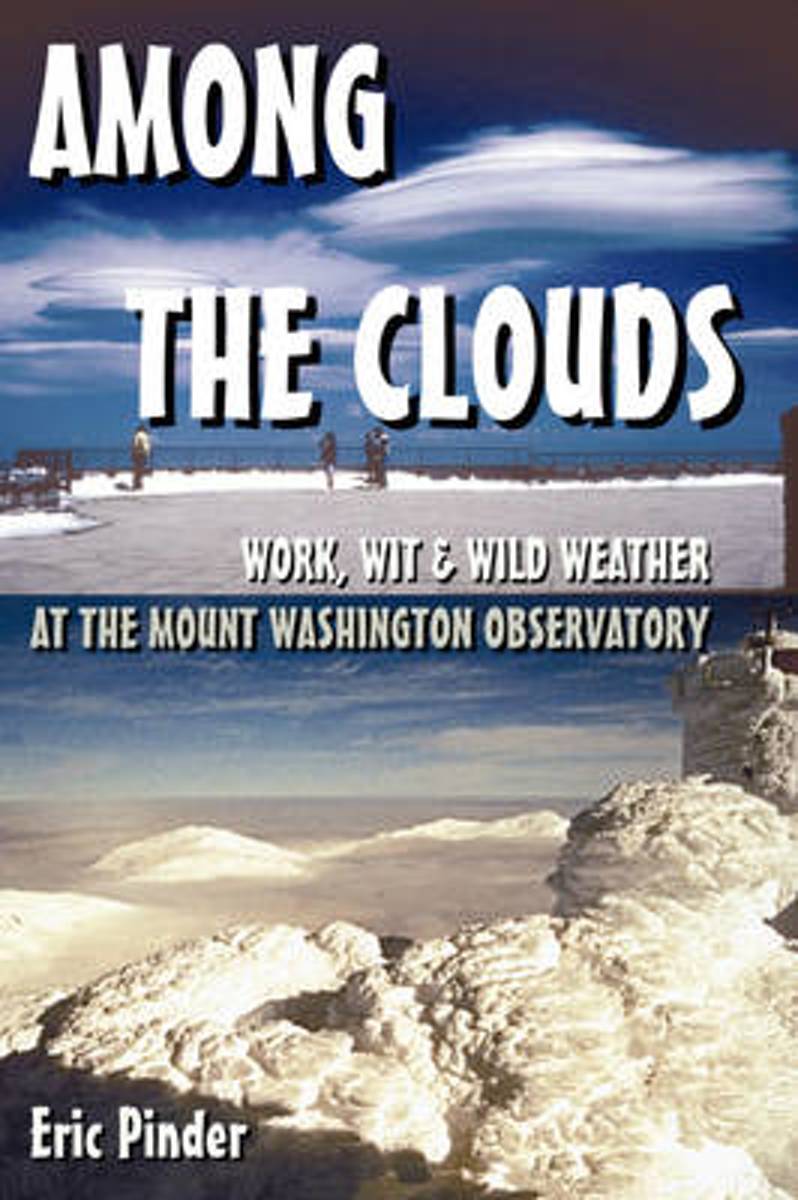
- Among the Clouds
- Where can you build a snowman in June, commute by sled, and witness hurricane-force winds twelve months out of the year? The answer is only at the 6288-foot-high Mount Washington Observatory, perched amongst the clouds in New Hampshire's White Mountains. A record-breaking 231-mph gust of wind shrieked across the summit in 1934, earning the... Read more
- Also available from:
- Bol.com, Belgium
Bol.com
Belgium
Belgium
- Among the Clouds
- Where can you build a snowman in June, commute by sled, and witness hurricane-force winds twelve months out of the year? The answer is only at the 6288-foot-high Mount Washington Observatory, perched amongst the clouds in New Hampshire's White Mountains. A record-breaking 231-mph gust of wind shrieked across the summit in 1934, earning the... Read more
Bol.com
Netherlands
Netherlands
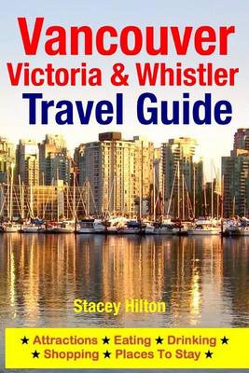
- Vancouver, Victoria & Whistler Travel Guide
- Vancouver is one of Canada's most popular travel destinations. Located on the west coast in British Columbia, Vancouver is one of the country's largest and most ethnically diverse cities. The beaches are clean, the wintersports are incredibly scenic and the parks are beautiful. Victoria is the capital of British Columbia and is situated at the... Read more
- Also available from:
- Bol.com, Belgium
Bol.com
Belgium
Belgium
- Vancouver, Victoria & Whistler Travel Guide
- Vancouver is one of Canada's most popular travel destinations. Located on the west coast in British Columbia, Vancouver is one of the country's largest and most ethnically diverse cities. The beaches are clean, the wintersports are incredibly scenic and the parks are beautiful. Victoria is the capital of British Columbia and is situated at the... Read more
Kaarten
De Zwerver
Netherlands
Netherlands
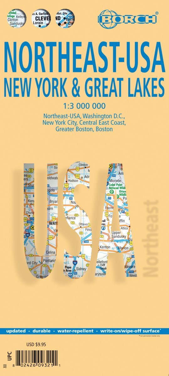
- Wegenkaart - landkaart Noordoost USA - Northeast USA | Borch
- Northeast-USA 5. New York & the Great Lakes 1 : 3 000 000 + City Maps ab 9.9 EURO Washington DC, New York City, Central East Coast, Greater Boston, Boston Borch Map. 13. Auflage Read more
De Zwerver
Netherlands
Netherlands
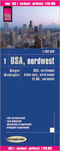
- Wegenkaart - landkaart Washington state - Oregon | ITMB
- Oregon / Washington 1:750 000 ab 10.49 EURO Landkarte, doppelseitig Plan Seattle. 1. Auflage Read more
De Zwerver
Netherlands
Netherlands
De Zwerver
Netherlands
Netherlands
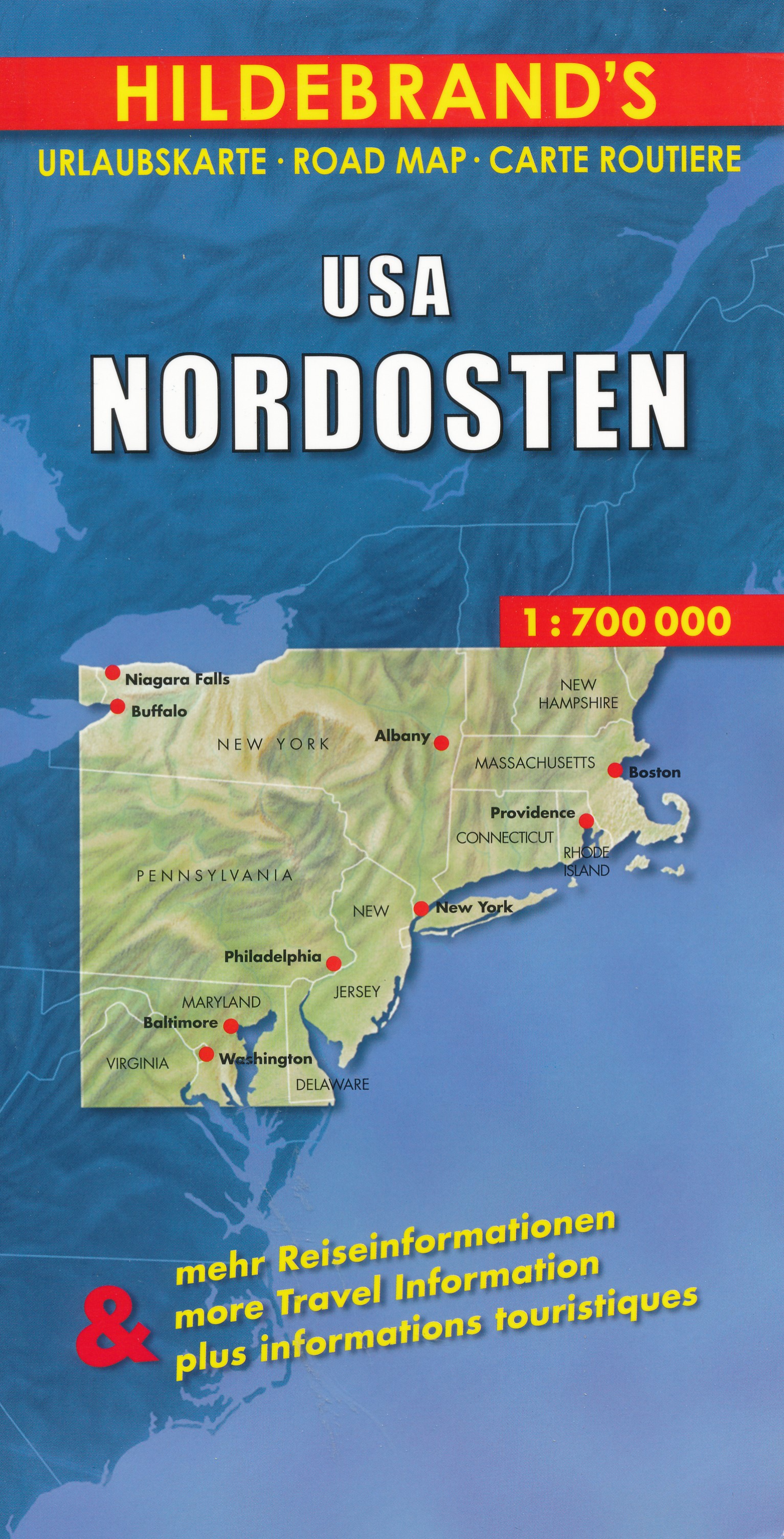
- Wegenkaart - landkaart USA Northeast - USA Noordoost | Hildebrand's
- USA Nordosten 1 : 700 000. Hildebrand´s Urlaubskarte ab 7.95 EURO Umgebungskarten: Boston, New York, Washington - Baltimore. Stadtpläne: Boston, New York/Manhattan, Philadelphia, Baltimore, Washington, Buffalo, Niagara Falls, Pittsburgh. Ortsregister Hildebrand´s Urlaubskarte. Neuauflage, Laufzeit bis 2016 Read more
De Zwerver
Netherlands
Netherlands
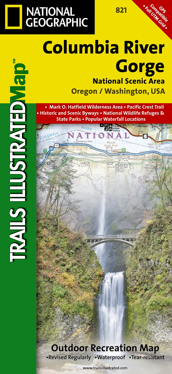
- Wandelkaart - Topografische kaart 821 Columbia River Gorge National Scenic Area | National Geographic
- Prachtige geplastificeerde kaart van het bekende nationaal park. Met alle recreatieve voorzieningen als campsites, maar ook met topografische details en wandelroutes ed. Door uitgekiend kleurgebruik zeer prettig in gebruik. Scheur en watervast! Considered one of the best year-round outdoor recreation areas in the country, the Columbia River... Read more
- Also available from:
- Stanfords, United Kingdom

Stanfords
United Kingdom
United Kingdom
- Columbia River Gorge OR/WA NGS Trails Illustrated Map 821
- Map No. 821, Columbia River Gorge in Oregon and Washington State, in an extensive series of GPS compatible, contoured hiking maps of USA’s national and state parks or forests and other popular recreational areas. Cartography based on the national topographic survey, with additional tourist information.The maps, with most titles now printed on... Read more
De Zwerver
Netherlands
Netherlands
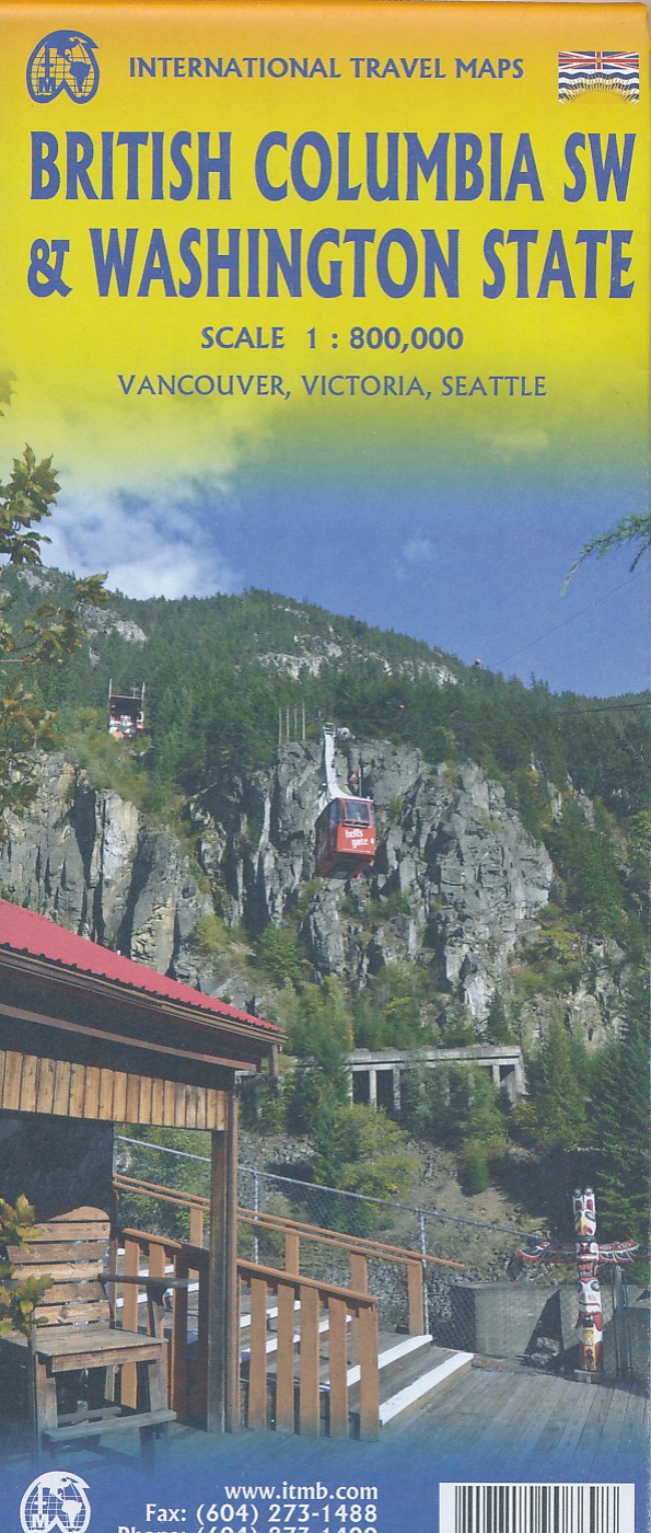
- Wegenkaart - landkaart Washington State - British Columbia southwest | ITMB
- British Columbia Südwest & Washington 1 : 800 000 ab 10.49 EURO Topographische Karte doppelseitig Washington State, Plan Downtown Seattle Britsh Columbia, incl. Vanc. 1st edition Read more

De Zwerver
Netherlands
Netherlands
- Wandelkaart - Topografische kaart 314 Many Glacier - Glacier and Waterton Lakes National Parks | National Geographic
- Prachtige geplastificeerde kaart van het bekende nationaal park. Met alle recreatieve voorzieningen als campsites, maar ook met topografische details en wandelroutes ed. Door uitgekiend kleurgebruik zeer prettig in gebruik. Scheur en watervast! Located just north of Kalispell in Montana's northwest corner, Glacier National contains an... Read more
- Also available from:
- Bol.com, Netherlands
- Bol.com, Belgium
- Stanfords, United Kingdom

Bol.com
Netherlands
Netherlands
- Many Glacier, Glacier National Park
- Waterproof Tear-Resistant Topographic MapLocated just north of Kalispell in Montana's northwest corner, Glacier National contains an abundance of recreational opportunities for outdoor enthusiasts of all interests.This detailed topographic recreation map contains carefully researched trails, campsites, forest service roads, and... Read more
Bol.com
Belgium
Belgium
- Many Glacier, Glacier National Park
- Waterproof Tear-Resistant Topographic MapLocated just north of Kalispell in Montana's northwest corner, Glacier National contains an abundance of recreational opportunities for outdoor enthusiasts of all interests.This detailed topographic recreation map contains carefully researched trails, campsites, forest service roads, and... Read more

Stanfords
United Kingdom
United Kingdom
- Many Glacier - Glacier and Waterton Lakes National Parks MT
- Map No. 313, Glacier National Park: North Fork, MT, in an extensive series of GPS compatible, contoured hiking maps of USA’s national and state parks or forests and other popular recreational areas. Cartography based on the national topographic survey, with additional tourist information.The maps, with most titles now printed on light,... Read more

De Zwerver
Netherlands
Netherlands
- Wandelkaart - Topografische kaart 215 Glacier - Waterton Lakes National Park | National Geographic
- Prachtige geplastificeerde kaart van het bekende nationaal park. Met alle recreatieve voorzieningen als campsites, maar ook met topografische details en wandelroutes ed. Door uitgekiend kleurgebruik zeer prettig in gebruik. Scheur en watervast! Waterton Lakes National Park, Canada includes Waterton Park, Upper and Middle Waterton Lakes, The... Read more
- Also available from:
- Bol.com, Netherlands
- Bol.com, Belgium
- Stanfords, United Kingdom

Bol.com
Netherlands
Netherlands
- Glacier/waterton Lakes National Parks
- Waterproof Tear-Resistant Topographic MapNational Geographic's Trails Illustrated map of Glacier and Waterton Lakes National Parks offers unparalleled detail for outdoor enthusiasts exploring the pristine landscape of forests, mountains, lakes, and meadows within these two spectacular parks. Created in partnership with local land... Read more
Bol.com
Belgium
Belgium
- Glacier/waterton Lakes National Parks
- Waterproof Tear-Resistant Topographic MapNational Geographic's Trails Illustrated map of Glacier and Waterton Lakes National Parks offers unparalleled detail for outdoor enthusiasts exploring the pristine landscape of forests, mountains, lakes, and meadows within these two spectacular parks. Created in partnership with local land... Read more

Stanfords
United Kingdom
United Kingdom
- Glacier - Waterton Lakes National Park MT
- Map No. 215, Glacier/Waterton Lakes National Park, MT, in an extensive series of GPS compatible, contoured hiking maps of USA’s national and state parks or forests and other popular recreational areas. Cartography based on the national topographic survey, with additional tourist information.The maps, with most titles now printed on light,... Read more

Bol.com
Netherlands
Netherlands
- Goat Rocks & Norse Peak Wilderness Area, Gifford-pinchot & Okanogan-wenatchee National Forests
- Waterproof Tear-Resistant Topographic MapGifford-Pinchot and Okanogan-Wenatchee National Forests Washington, USAOne of five new Trails Illustrated maps for the Washington Cascades region offers the most detailed and up-to-date map for the forest, carefully researched and developed in co-operation with local land managers and agencies.... Read more
- Also available from:
- Bol.com, Belgium
- Stanfords, United Kingdom
Bol.com
Belgium
Belgium
- Goat Rocks & Norse Peak Wilderness Area, Gifford-pinchot & Okanogan-wenatchee National Forests
- Waterproof Tear-Resistant Topographic MapGifford-Pinchot and Okanogan-Wenatchee National Forests Washington, USAOne of five new Trails Illustrated maps for the Washington Cascades region offers the most detailed and up-to-date map for the forest, carefully researched and developed in co-operation with local land managers and agencies.... Read more

Stanfords
United Kingdom
United Kingdom
- Goat Rocks - Norse Peak William O. Douglas Wilderness Area WA
- Map No. 823, Goat Rocks and Norse Peak Wilderness Area - Gifford-Pinchot and Okanogan-Wenatchee National Forests, WA, in an extensive series of GPS compatible, contoured hiking maps of USA’s national and state parks or forests and other popular recreational areas. Cartography based on the national topographic survey, with additional tourist... Read more

De Zwerver
Netherlands
Netherlands
- Wandelkaart - Topografische kaart 809 Mammoth Lakes - Mono Divide - Inyo and Sierra National Forests | National Geographic
- Prachtige geplastificeerde kaart van het bekende nationaal park. Met alle recreatieve voorzieningen als campsites, maar ook met topografische details en wandelroutes ed. Door uitgekiend kleurgebruik zeer prettig in gebruik. Scheur en watervast! Trails Illustrated Mammoth Lakes / Mono Divide is the first of five exciting new maps for the... Read more
- Also available from:
- Bol.com, Netherlands
- Bol.com, Belgium
- Stanfords, United Kingdom

Bol.com
Netherlands
Netherlands
- Mammoth Lakes/mono Divide
- Waterproof Tear-Resistant Topographic MapTrails Illustrated Mammoth Lakes / Mono Divide is the first of five exciting new maps for the California Sierra Nevadas that will combine to form seamless coverage of the high-use National Forest areas between Sequoia / Kings Canyon National Parks and Lake Tahoe. This region contains some of the... Read more
Bol.com
Belgium
Belgium
- Mammoth Lakes/mono Divide
- Waterproof Tear-Resistant Topographic MapTrails Illustrated Mammoth Lakes / Mono Divide is the first of five exciting new maps for the California Sierra Nevadas that will combine to form seamless coverage of the high-use National Forest areas between Sequoia / Kings Canyon National Parks and Lake Tahoe. This region contains some of the... Read more

Stanfords
United Kingdom
United Kingdom
- Mammoth Lakes - Mono Divide CA
- Map No. 809, Mammoth Lakes / Mono Divide, CA, in an extensive series of GPS compatible, contoured hiking maps of USA’s national and state parks or forests and other popular recreational areas. Cartography based on the national topographic survey, with additional tourist information.The maps, with most titles now printed on light, waterproof and... Read more
Bol.com
Netherlands
Netherlands
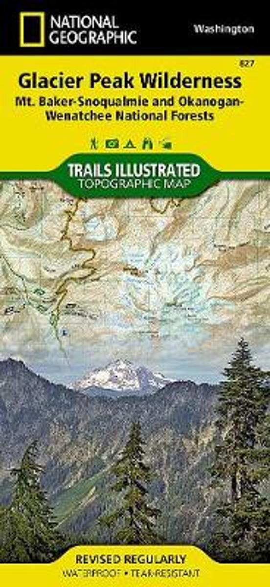
- Glacier Peak Wilderness (mt. Baker-snoqualmie And Okanogan-wenatchee National Forests)
- Waterproof Tear-Resistant Topographic MapOkanogan-Wenatchee National Forests Washington, USAOne of five new Trails Illustrated maps for the Washington Cascades region offering the most detailed and up-to-date map for the forest, carefully researched and developed in co-operation with local land managers and agencies. Each map contains... Read more
- Also available from:
- Bol.com, Belgium
- Stanfords, United Kingdom
Bol.com
Belgium
Belgium
- Glacier Peak Wilderness (mt. Baker-snoqualmie And Okanogan-wenatchee National Forests)
- Waterproof Tear-Resistant Topographic MapOkanogan-Wenatchee National Forests Washington, USAOne of five new Trails Illustrated maps for the Washington Cascades region offering the most detailed and up-to-date map for the forest, carefully researched and developed in co-operation with local land managers and agencies. Each map contains... Read more

Stanfords
United Kingdom
United Kingdom
- Glacier Peak Wilderness - Mt Baker-Snoqualmie and Okanogan-Wenatchee National Forests WA
- Map No. 827, Glacier Peak Wilderness Area - Mount Baker-SnoqualmieWilderness Areas and Okanogan-Wenatchee National Forests, WA, in an extensive series of GPS compatible, contoured hiking maps of USA’s national and state parks or forests and other popular recreational areas. Cartography based on the national topographic survey, with additional... Read more