De Zwerver
Netherlands
2011
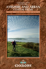
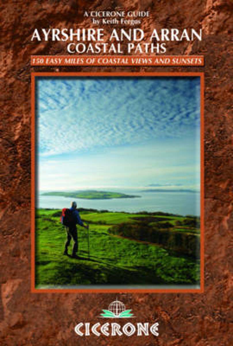
- Wandelgids Ayrshire and Arran Coastal Paths | Cicerone
- This handy guidebook contains route descriptions for 11 day stages across a 150 mile coastline full of beautiful sandy beaches and secluded coves. The terrain varies from beach to open moorland and rocky trails but is suitable for any reasonably fit walker. The Ayrshire and Arran Coastal Paths offers long distance coastal walking at its finest. Read more


.jpg)
