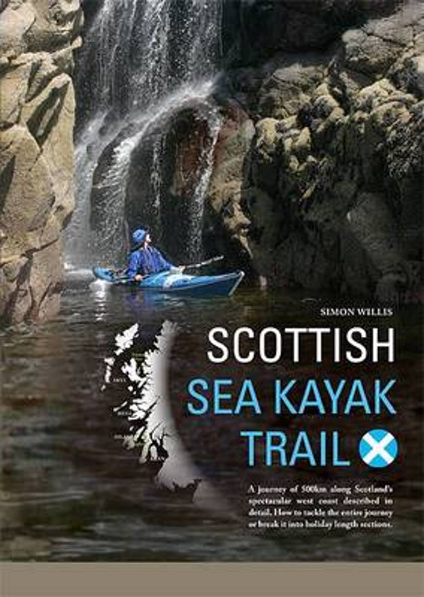
Scotland's west coast is an undisputed world-class sea kayaking destination. This book challenges the reader to kayak a 500 km route, from the Isle of Gigha off the Kintyre peninsular, to the Summer Isles near Ullapool. It can be undertaken in four holiday-sized sections or as one long, glorious journey. The history of this country is...Read more
Scotland's west coast is an undisputed world-class sea kayaking destination. This book challenges the reader to kayak a 500 km route, from the Isle of Gigha off the Kintyre peninsular, to the Summer Isles near Ullapool. It can be undertaken in four holiday-sized sections or as one long, glorious journey. The history of this country is...Read more
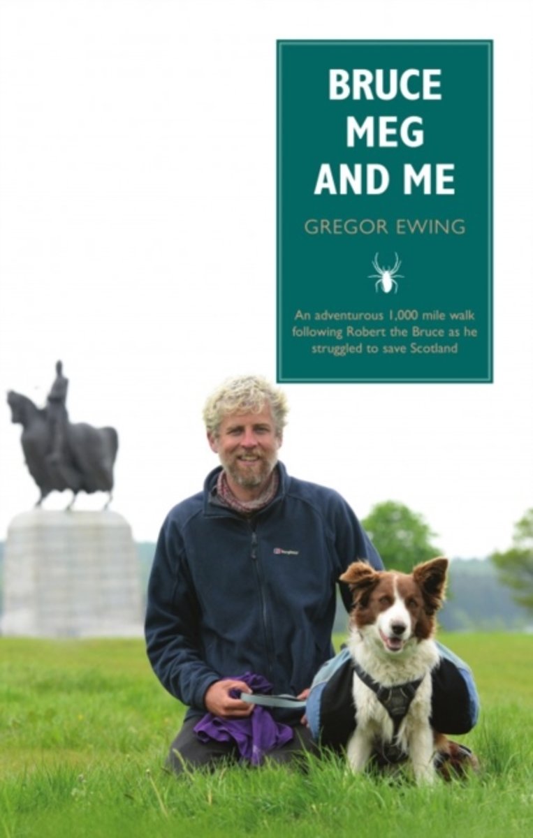
Craving an escape from everyday life, Gregor Ewing writes a personal account of his 1,000 mile walk over nine weeks with collie Meg that takes them through the central belt of Scotland, literally following in Robert the Bruce's footsteps.From Kintyre, Arran and Ardrossan north to Ayr through Glasgow to Fort William and Elgin, south to...Read more
Craving an escape from everyday life, Gregor Ewing writes a personal account of his 1,000 mile walk over nine weeks with collie Meg that takes them through the central belt of Scotland, literally following in Robert the Bruce's footsteps.From Kintyre, Arran and Ardrossan north to Ayr through Glasgow to Fort William and Elgin, south to...Read more
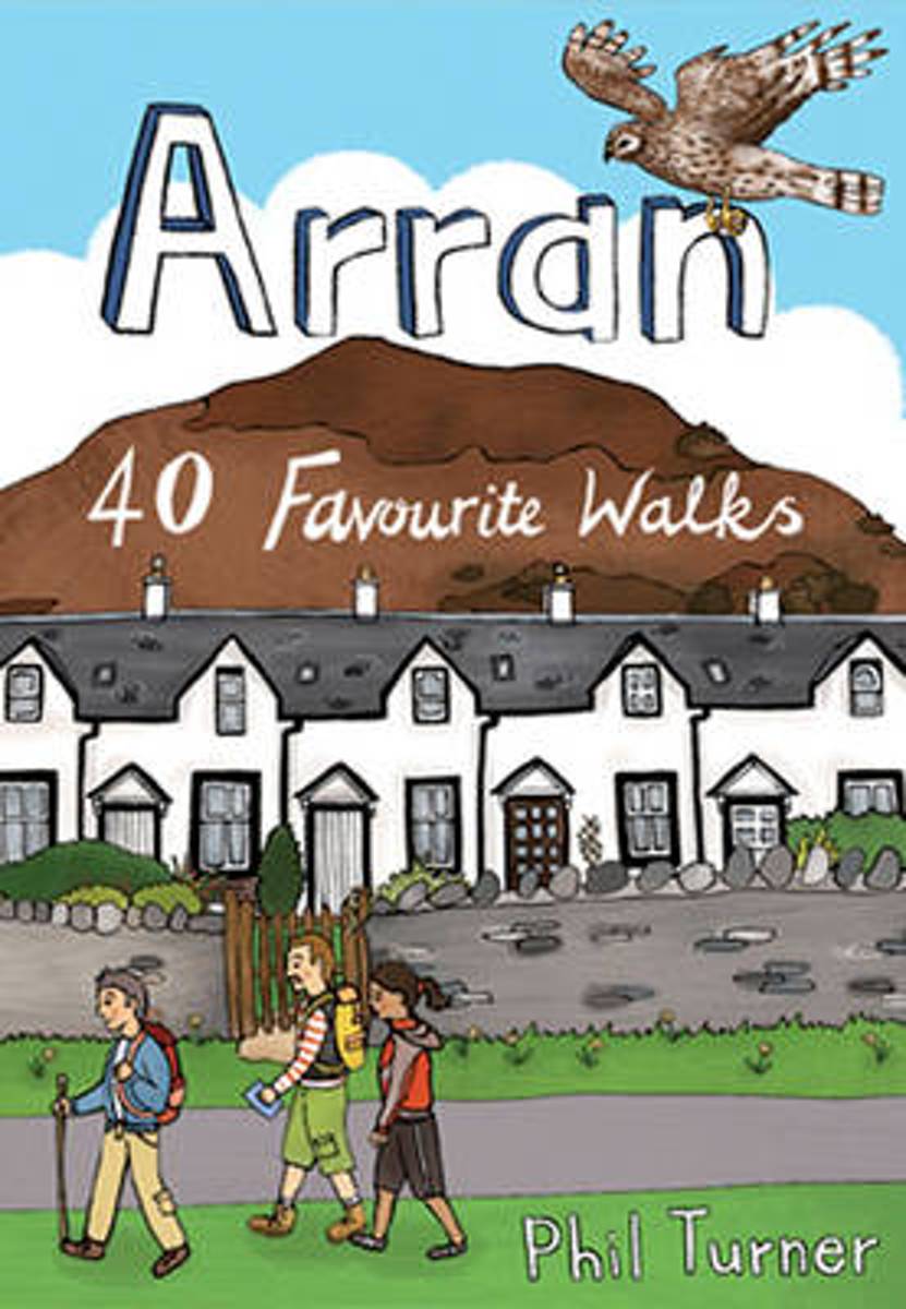
With dramatic mountain ridges towering over the moorland of its northern half, and a lusher, softer landscape in the south, Arran is often dubbed as Scotland in Miniature. The fact is that this is an island with a huge amount to offer packed into small space. The great granite ridges may be lower in stature than those in the Highlands, but they...Read more
With dramatic mountain ridges towering over the moorland of its northern half, and a lusher, softer landscape in the south, Arran is often dubbed as Scotland in Miniature. The fact is that this is an island with a huge amount to offer packed into small space. The great granite ridges may be lower in stature than those in the Highlands, but they...Read more
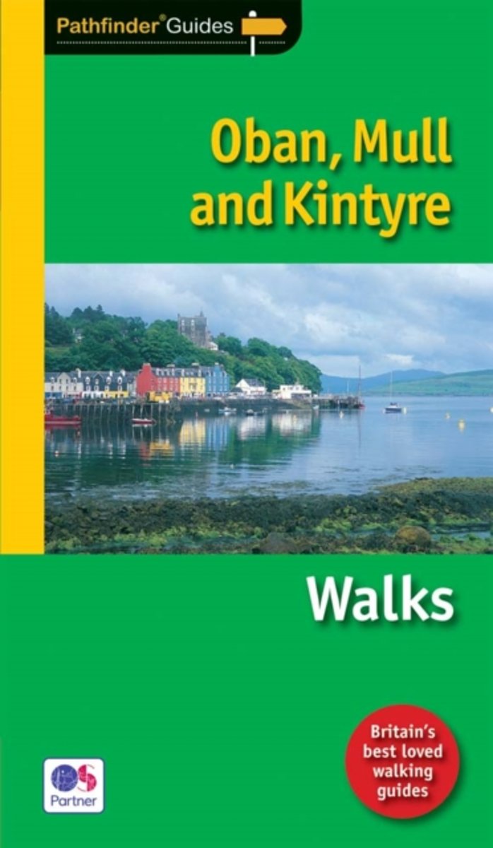
The rock of Dunadd, a few miles north of Lochgilphead, marks the place where the Scots established their headquarters after landing from Ireland around 500AD, and it can rightfully claim to be the birthplace of Scotland. It is also at the heart of present-day Argyll, which roughly corresponds to the area covered by this guide. There are a range...Read more
The rock of Dunadd, a few miles north of Lochgilphead, marks the place where the Scots established their headquarters after landing from Ireland around 500AD, and it can rightfully claim to be the birthplace of Scotland. It is also at the heart of present-day Argyll, which roughly corresponds to the area covered by this guide. There are a range...Read more
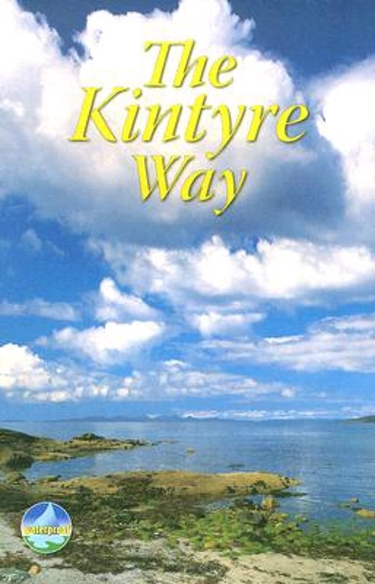
The Kintyre Way opened in 2006 and is a fully waymarked trail running for 89 miles (142 km) southward from the beautiful natural harbour of Tarbert to Dunaverty, near the Mull of Kintyre. Criss-crossing the entire peninsula, you pass castles, abbeys and prehistoric remains, sometimes walking along rugged coastline, sometimes high on forestry...Read more
The Kintyre Way opened in 2006 and is a fully waymarked trail running for 89 miles (142 km) southward from the beautiful natural harbour of Tarbert to Dunaverty, near the Mull of Kintyre. Criss-crossing the entire peninsula, you pass castles, abbeys and prehistoric remains, sometimes walking along rugged coastline, sometimes high on forestry...Read more
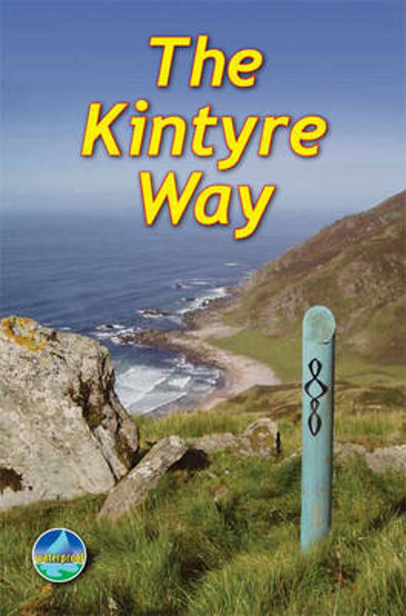
This fully waymarked trail runs for 89 miles southward from the beautiful natural harbour of Tarbert to Dunaverty, near the Mull of Kintyre. Criss-crossing the entire peninsula, you pass castles, abbeys and prehistoric remains, sometimes walking along rugged coastline, sometimes high on forestry tracks with glorious views over Arran, the Firth...Read more
This fully waymarked trail runs for 89 miles southward from the beautiful natural harbour of Tarbert to Dunaverty, near the Mull of Kintyre. Criss-crossing the entire peninsula, you pass castles, abbeys and prehistoric remains, sometimes walking along rugged coastline, sometimes high on forestry tracks with glorious views over Arran, the Firth...Read more
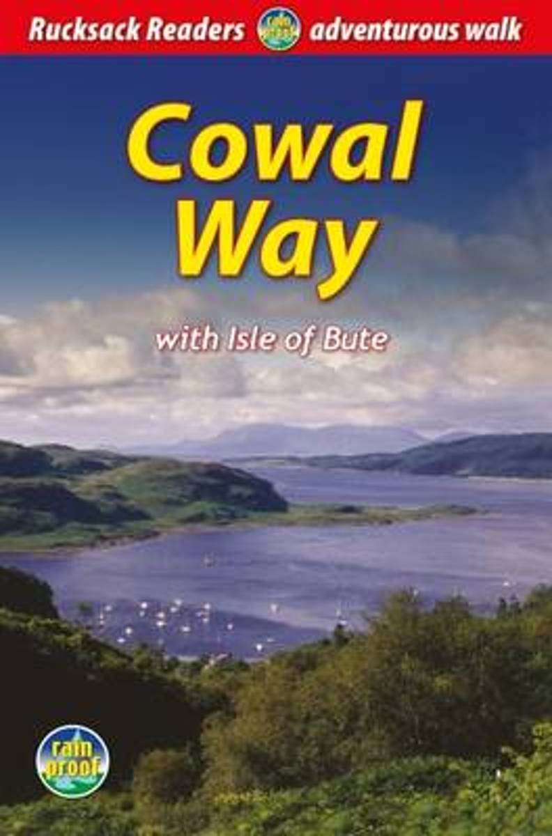
The Cowal Way is a waymarked trail running for 57 miles (92 km) across the rugged Cowal peninsula, an unspoiled area of the Highlands just west of Glasgow. It is best walked from Portavadie on Loch Fyne to finish at Inveruglas on Loch Lomond. The Way has some rugged scenery, the walk is easily broken into manageable sections, and it offers...Read more
The Cowal Way is a waymarked trail running for 57 miles (92 km) across the rugged Cowal peninsula, an unspoiled area of the Highlands just west of Glasgow. It is best walked from Portavadie on Loch Fyne to finish at Inveruglas on Loch Lomond. The Way has some rugged scenery, the walk is easily broken into manageable sections, and it offers...Read more
Waterproof and tear-resistant OS Active version of map No. 68 from the Ordnance Survey’s Landranger series at 1:50,000, with contoured and GPS compatible topographic mapping plus tourist information.MOBILE DOWNLOADS: As well as the physical edition of the map, each Landranger title now includes a code for downloading after purchase its digital...Read more
South Kintyre with Campbeltown on a detailed topographic and GPS compatible map No. 356, waterproof version, from the Ordnance Survey’s 1:25,000 Explorer series. MOBILE DOWNLOADS: this title and all the other OS Explorer maps include a code for downloading after purchase the digital version onto your smartphone or tablet for viewing on the OS...Read more
North Kintyre, South Knapdale with Tarbert and Isle of Gigha on a detailed topographic and GPS compatible map No. 357, waterproof version, from the Ordnance Survey’s 1:25,000 Explorer series. MOBILE DOWNLOADS: this title and all the other OS Explorer maps include a code for downloading after purchase the digital version onto your smartphone or...Read more
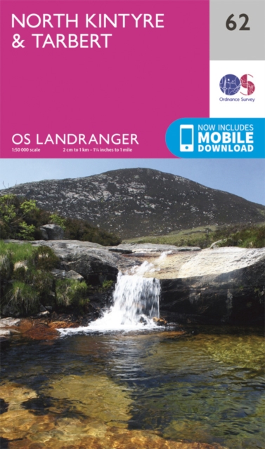
Paper version of map No. 62 from the Ordnance Survey’s Landranger series at 1:50,000, with contoured and GPS compatible topographic mapping plus tourist information.MOBILE DOWNLOADS: As well as the physical edition of the map, each Landranger title now includes a code for downloading after purchase its digital version onto your smartphone or...Read more
Paper version of map No. 68 from the Ordnance Survey’s Landranger series at 1:50,000, with contoured and GPS compatible topographic mapping plus tourist information.MOBILE DOWNLOADS: As well as the physical edition of the map, each Landranger title now includes a code for downloading after purchase its digital version onto your smartphone or...Read more


.jpg)


