De Zwerver
Netherlands
2021
» Click to open
Stanfords
United Kingdom
2021
  • Walking in the North Wessex Downs: 30 walks exploring the AONB
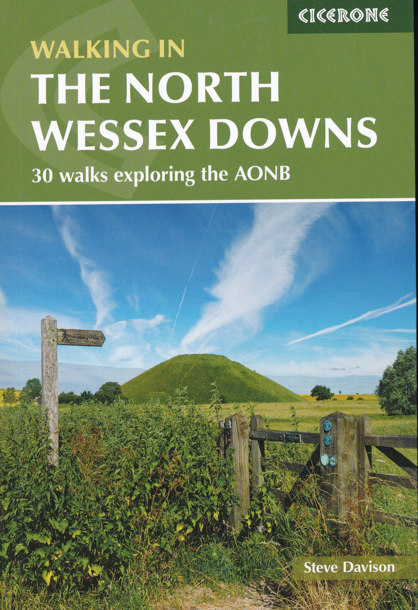
  • Guidebook to 30 circular walks in the North Wessex Downs Area of Outstanding Natural Beauty (AONB). The routes, which range from 7 to 21km (4 to 13 miles), take in parts of four counties - Berkshire, Hampshire, Wiltshire and Oxfordshire.The North Wessex Downs are accessible hills rising above the towns and rural plains of southern England and... Read more
» Click to close
De Zwerver
Netherlands
2019
De Zwerver
Netherlands
2023
De Zwerver
Netherlands
2008
De Zwerver
Netherlands
2022
De Zwerver
Netherlands
» Click to open
Stanfords
United Kingdom
  • Reading & Windsor - Henley-on-Thames & Bracknell OS Landranger Map 175 (paper)
  • Reading – Windsor area, including a section of the Thames Path / E2 European Long-distance Path, on a paper version of map No. 175 from the Ordnance Survey’s Landranger series at 1:50,000, with contoured and GPS compatible topographic mapping plus tourist information.MOBILE DOWNLOADS: As well as the physical edition of the map, each Landranger... Read more
» Click to close
De Zwerver
Netherlands
De Zwerver
Netherlands
» Click to open
Stanfords
United Kingdom
  • Birmingham, Wolverhampton & The Black Country OS Landranger Map 139 (paper)
  • Birmingham with the surrounding area including the Black Country, Wolverhampton, Walsall, Solihull, Stourbridge, Bromsgrove and a section of the E2 European Long-distance Path on a paper version of map No. 139 from the Ordnance Survey’s Landranger series at 1:50,000, with contoured and GPS compatible topographic mapping plus tourist... Read more
» Click to close
De Zwerver
Netherlands
» Click to open
Stanfords
United Kingdom
  • Aylesbury, Leighton Buzzard, Thame & Berkhamsted OS Landranger Map 165 (paper)
  • Aylesbury, Leighton Buzzard and Thame area, including Chiltern Hills with part of the Ridgeway, on a paper version of map No. 165 from the Ordnance Survey’s Landranger series at 1:50,000, with contoured and GPS compatible topographic mapping plus tourist information.MOBILE DOWNLOADS: As well as the physical edition of the map, each Landranger... Read more
» Click to close
De Zwerver
Netherlands
» Click to open
Stanfords
United Kingdom
  • Kettering, Corby, Market Harborough & Stamford OS Landranger Map 141 (paper)
  • The area around Kettering, Corby, Market Harborough and Stamford, including Rockingham Forest and part of the E2 European Long-distance Path, on a paper version of map No. 141 from the Ordnance Survey’s Landranger series at 1:50,000, with contoured and GPS compatible topographic mapping plus tourist information.MOBILE DOWNLOADS: As well as the... Read more
» Click to close
Bol.com
Netherlands
» Click to open
Bol.com
Belgium
  • The Good Pub Guide
  • Over 1,000 pubs in London and the South East from the perennially popular Good Pub Guide.This handy portable guide features up-to-date information, including food, drinks, facilities and opening hours, for the best pubs in London and the south east of England, as chosen by the highly respected editors of the annualGood Pub Guide.Spanning... Read more
» Click to close
Bol.com
Netherlands
» Click to open
Bol.com
Belgium
  • Trail Running Western Massachusetts
  • Ben Kimball, a long-time trail runner, provides profiles of fifty-one great trail runs in western Massachusetts. Geographically, this book covers the area between the Quabbin Reservoir and upstate New York, including the Pioneer Valley and Berkshire areas as well as portions of the Taconic Highlands. Elevations range from the lowlands of the... Read more
» Click to close
De Zwerver
Netherlands
2016
» Click to open
Bol.com
Netherlands
2016
  • The Ridgeway
  • The Ridgeway follows one of the oldest 'green roads' in Europe. It runs for 87 miles (140 km) from Overton Hill in the west, across the Marlborough Downs and the Vale of the White Horse, to Ivinghoe Beacon on the northern edge of the Chilterns. This is the complete, official guide for the long-distance walker or the weekend stroller. All you... Read more
Bol.com
Belgium
2016
  • The Ridgeway
  • The Ridgeway follows one of the oldest 'green roads' in Europe. It runs for 87 miles (140 km) from Overton Hill in the west, across the Marlborough Downs and the Vale of the White Horse, to Ivinghoe Beacon on the northern edge of the Chilterns. This is the complete, official guide for the long-distance walker or the weekend stroller. All you... Read more
The Book Depository
United Kingdom
2016
» Click to close
Bol.com
Netherlands
2018
» Click to open
Bol.com
Belgium
2018
  • Thames Path
  • Practical, all-in-one guide to walking the Thames Path National Trail from the Costwolds to the Thames Barrier in London, including large-scale trail maps, places to stay, places to eat and public transport information. The Thames Path's National Trail runs for 184 miles (294km) from the river's source at Thames Head near Kemble in the... Read more
Stanfords
United Kingdom
2018
  • Thames Path: Thames Head to the Thames Barrier (London)
  • Practical, all-in-one guide to walking the Thames Path National Trail from the Costwolds to the Thames Barrier in London, including large-scale trail maps, places to stay, places to eat and public transport information. The Thames Path`s National Trail runs for 184 miles (294km) from the river`s source at Thames Head near Kemble in the... Read more
» Click to close
Bol.com
Netherlands
» Click to open
Bol.com
Belgium
» Click to close