Bol.com
Netherlands
2016
- Pennine Way
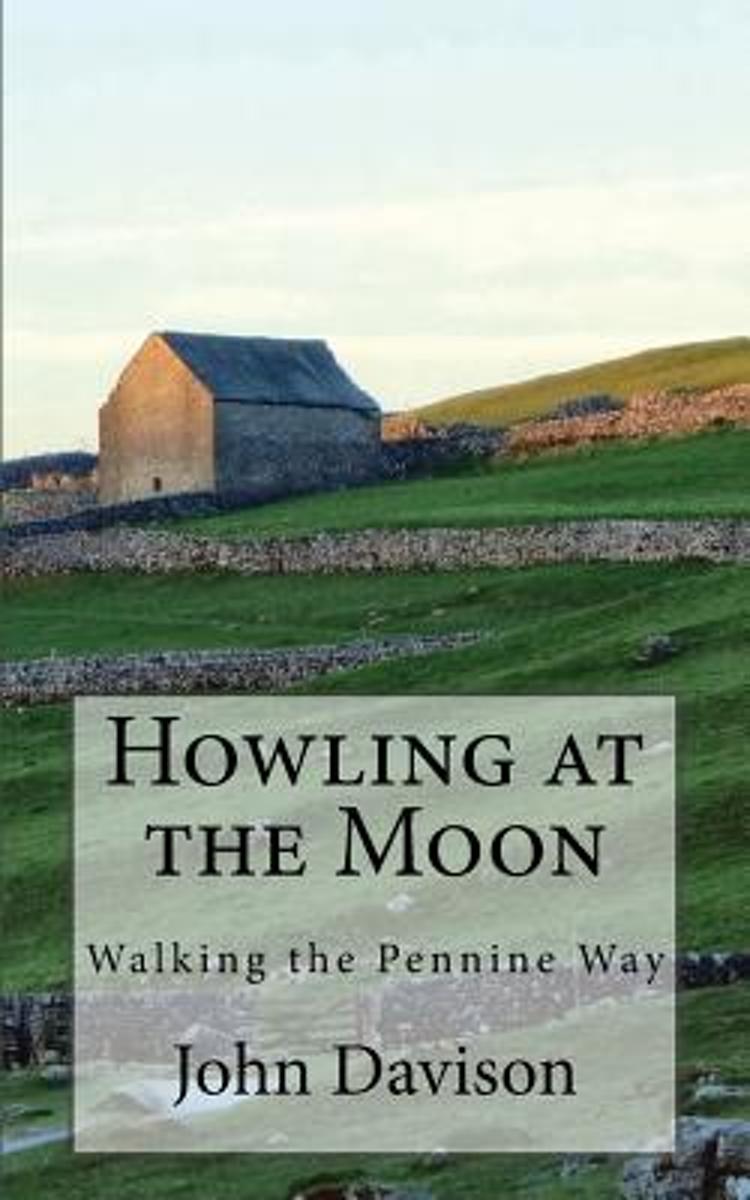
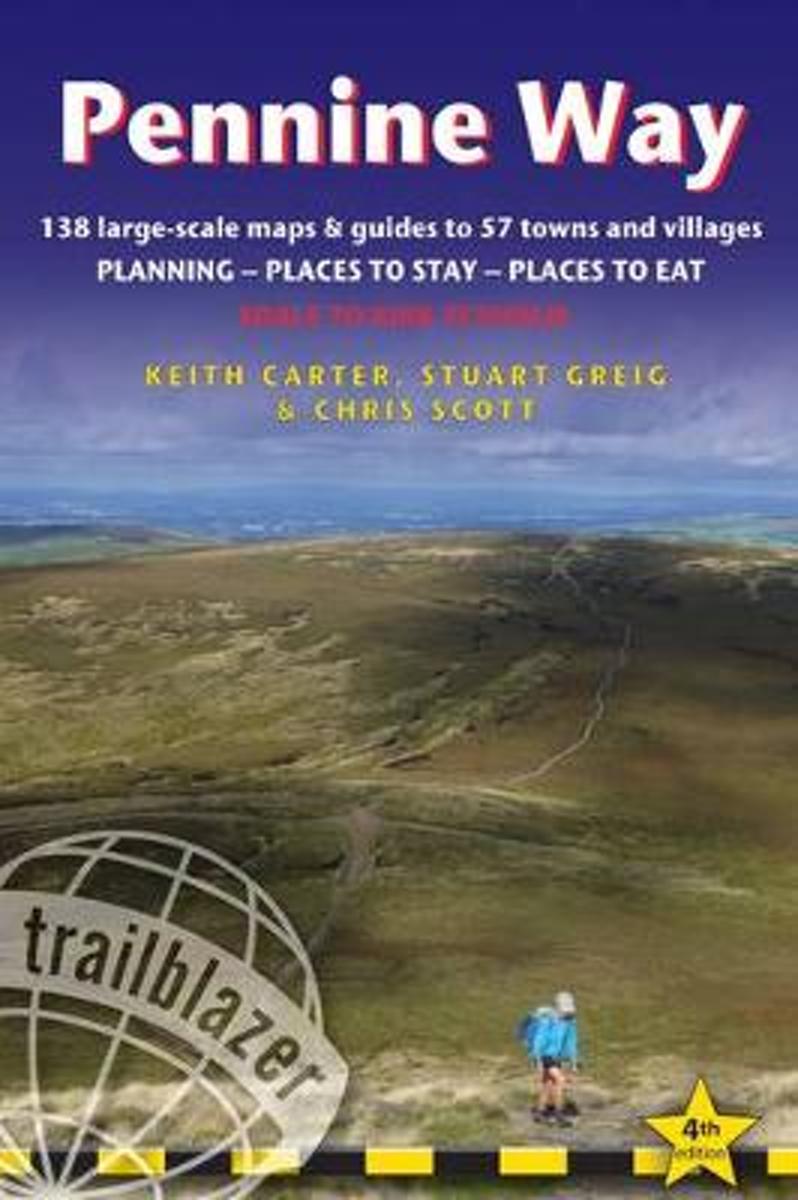
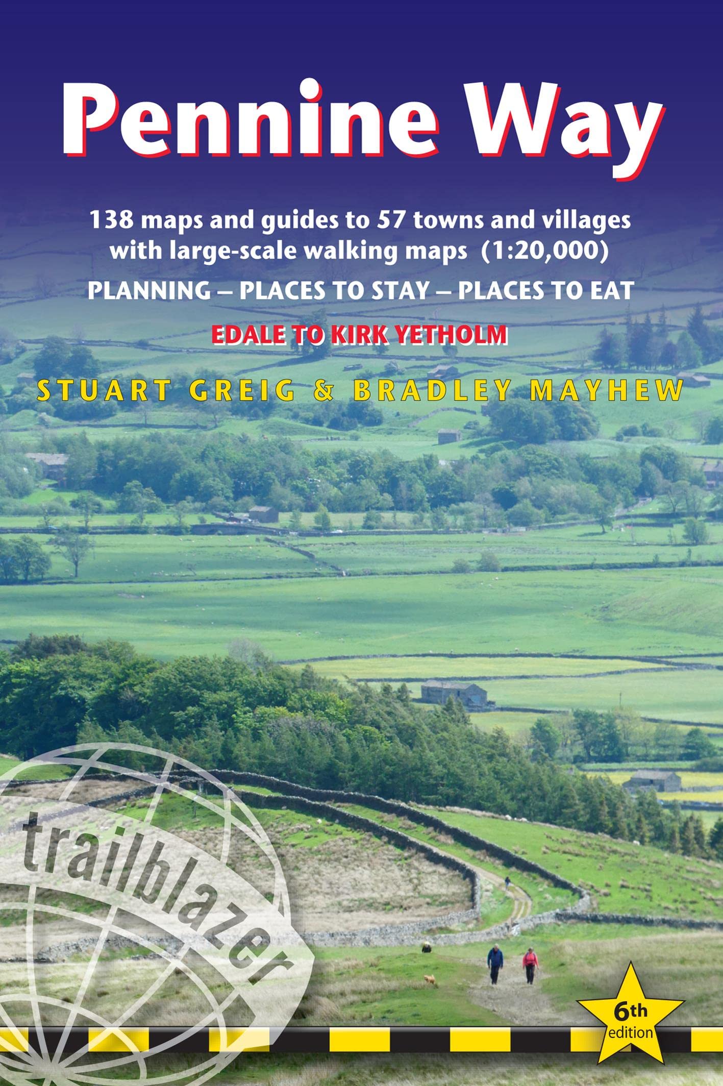
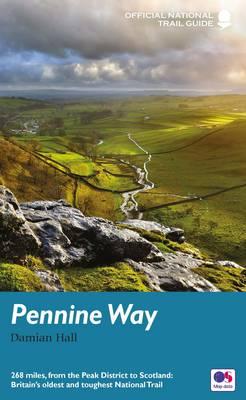
- To replace its previous two-volume guide to the Pennine Way, Aurum now publishes an entirely new one-volume guide for the 21st-century walker. The Pennine Way is Britain' s toughest long-distance path, running 268 miles from Derbyshire' s Peak District up through the Yorkshire Dales, Cumbria and Northumberland into the Scottish Borders. Until... Read more
Bol.com
Belgium
2016
- Pennine Way
- To replace its previous two-volume guide to the Pennine Way, Aurum now publishes an entirely new one-volume guide for the 21st-century walker. The Pennine Way is Britain' s toughest long-distance path, running 268 miles from Derbyshire' s Peak District up through the Yorkshire Dales, Cumbria and Northumberland into the Scottish Borders. Until... Read more

Stanfords
United Kingdom
2016
- Pennine Way National Trail
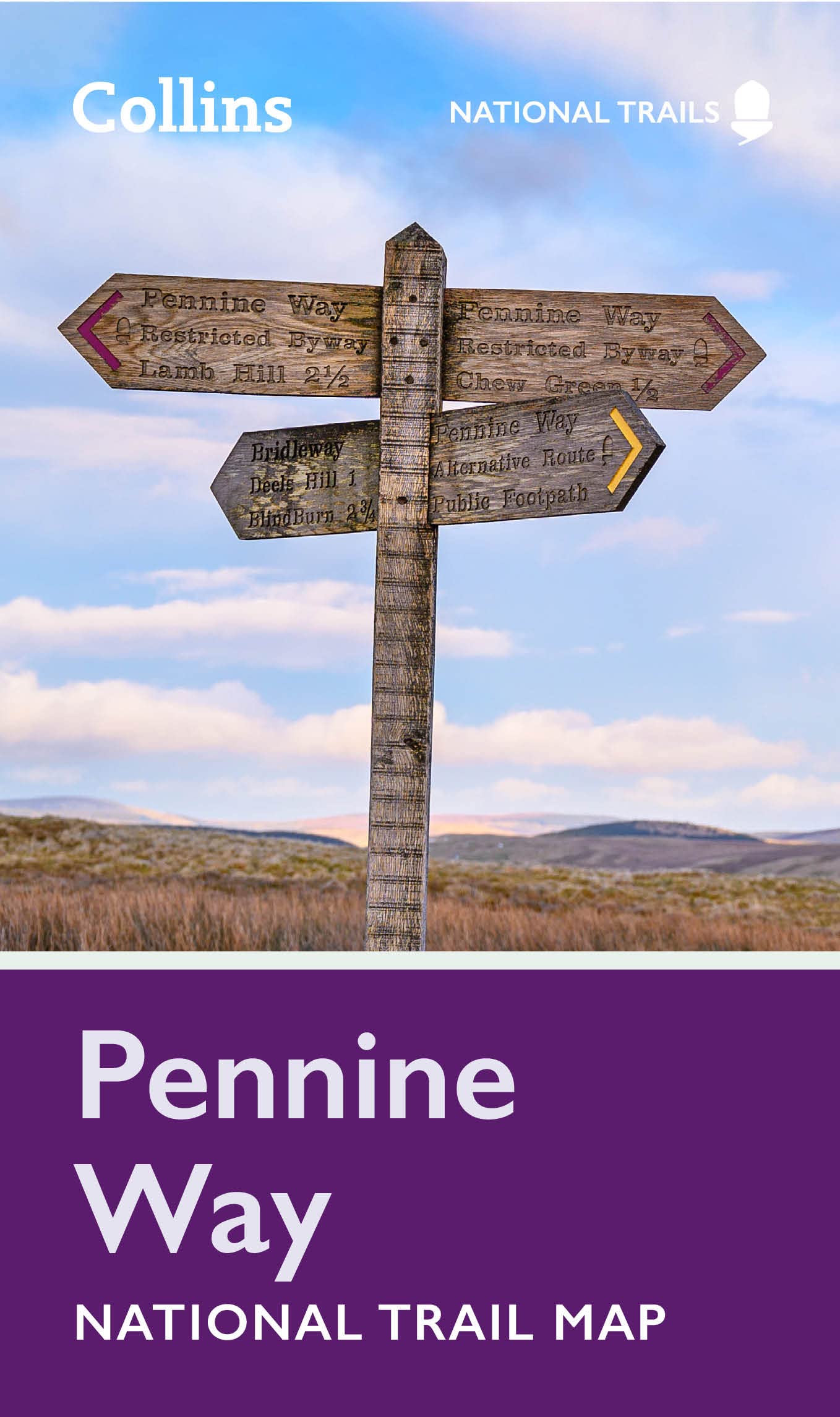
- The Pennine Way, the whole 431-km/268 mile route from Edale in the Peak District to Kirk Yetholm in the Scottish Borders, in a series of walking guides to the National Trails in England and Wales with colour extracts from the Ordnance Survey`s Explorer series at 1:25,000 showing points along the route cross-referenced to the text. The maps... Read more

The Book Depository
United Kingdom
2016