De Zwerver
Netherlands
2016
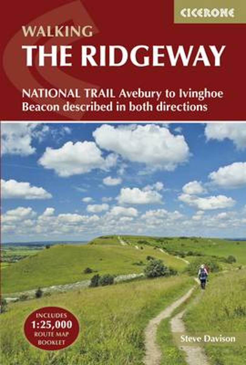
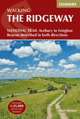
- Wandelgids The Ridgeway | Cicerone
- Guidebook to the Ridgeway National Trail, an 87-mile (139km) route through the south of England from Avebury in Wiltshire to Ivinghoe Beacon in Buckinghamshire. Accompanied by a pull-out 1:25K mapping booklet, this guidebook details the trail in both directions and features information on historic sites and facilities along the way. Read more