De Zwerver
Netherlands
2016
» Click to open
Stanfords
United Kingdom
2016
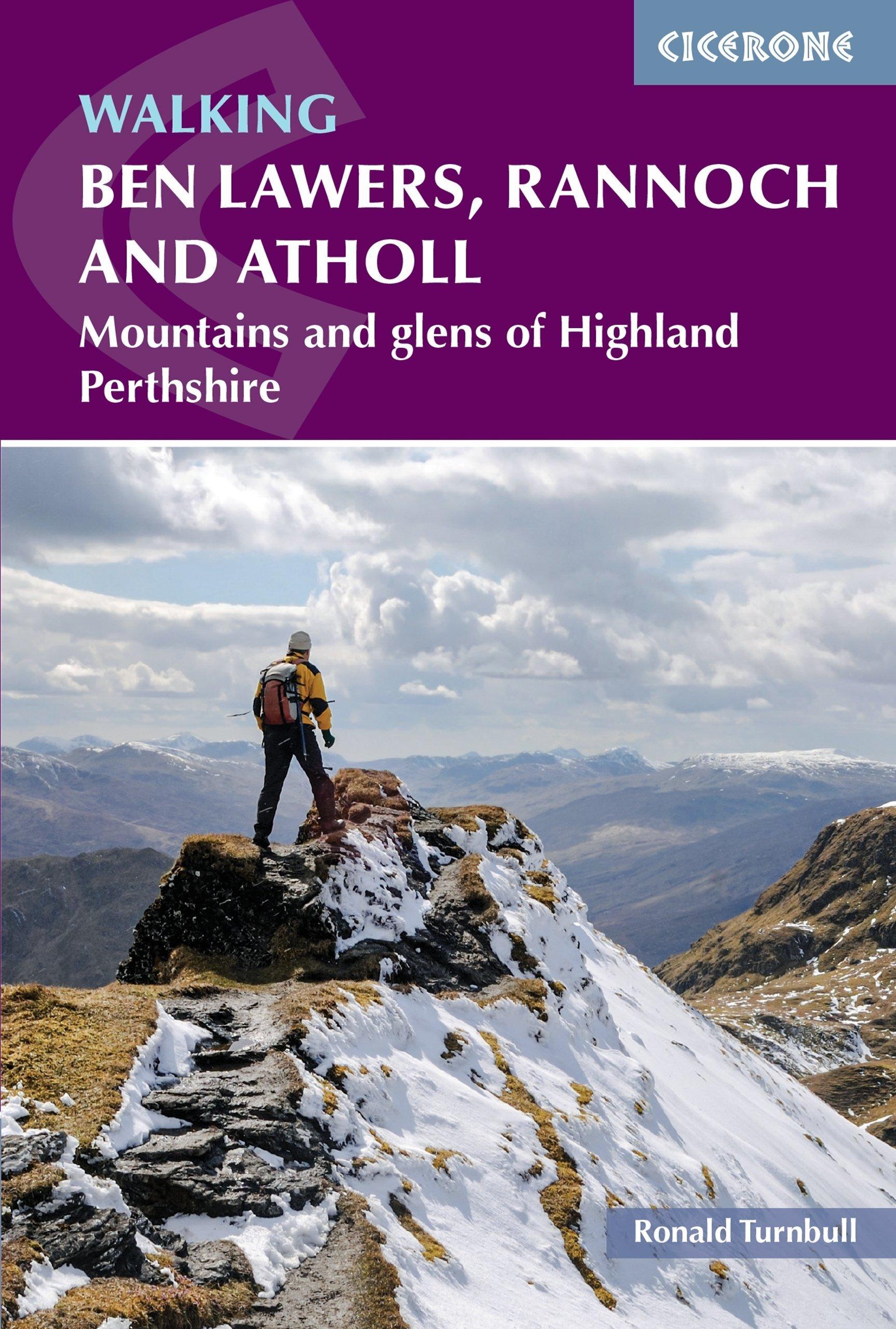
  • Loch Lomond, The Trossachs: 2016
  • The walks in this guide introduce the many facets of the Southern Highlands and range from easy loch-side strolls to strenuous expeditions onto some of the area`s highest mountains. Walking in Scotland is quite different from walking south of the border. In England there are only eight summits that top 3000 ft, while in Scotland there are 277,... Read more
» Click to close
De Zwerver
Netherlands
2021
De Zwerver
Netherlands
2023
De Zwerver
Netherlands
2020
De Zwerver
Netherlands
2023
De Zwerver
Netherlands
2021
» Click to open
Stanfords
United Kingdom
2021
» Click to close
De Zwerver
Netherlands
2018
De Zwerver
Netherlands
» Click to open
Stanfords
United Kingdom
  • Reading & Windsor - Henley-on-Thames & Bracknell OS Landranger Map 175 (paper)
  • Reading – Windsor area, including a section of the Thames Path / E2 European Long-distance Path, on a paper version of map No. 175 from the Ordnance Survey’s Landranger series at 1:50,000, with contoured and GPS compatible topographic mapping plus tourist information.MOBILE DOWNLOADS: As well as the physical edition of the map, each Landranger... Read more
» Click to close
De Zwerver
Netherlands
» Click to open
Stanfords
United Kingdom
  • Braemar, Tomintoul & Glen Avon OS Explorer Active Map OL58 (waterproof)
  • Braemar, Tomintoul and Glen Avon area of the Cairmgorms National Park on a detailed topographic and GPS compatible map OL58, waterproof version, from the Ordnance Survey’s 1:25,000 Explorer series. Coverage includes part of the Deeside and Lochnagar National Scenic Area, Be Avon, 5 Munro peaks including, Beinn a’ Bhuird and Leabaidh an Daimh... Read more
» Click to close
De Zwerver
Netherlands
» Click to open
Stanfords
United Kingdom
  • Kettering, Corby, Market Harborough & Stamford OS Landranger Map 141 (paper)
  • The area around Kettering, Corby, Market Harborough and Stamford, including Rockingham Forest and part of the E2 European Long-distance Path, on a paper version of map No. 141 from the Ordnance Survey’s Landranger series at 1:50,000, with contoured and GPS compatible topographic mapping plus tourist information.MOBILE DOWNLOADS: As well as the... Read more
» Click to close
De Zwerver
Netherlands
» Click to open
Stanfords
United Kingdom
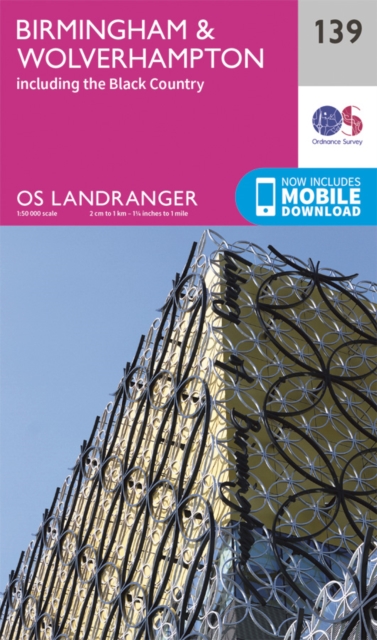
  • Birmingham, Wolverhampton & The Black Country OS Landranger Map 139 (paper)
  • Birmingham with the surrounding area including the Black Country, Wolverhampton, Walsall, Solihull, Stourbridge, Bromsgrove and a section of the E2 European Long-distance Path on a paper version of map No. 139 from the Ordnance Survey’s Landranger series at 1:50,000, with contoured and GPS compatible topographic mapping plus tourist... Read more
» Click to close
Bol.com
Netherlands
2016
» Click to open
Bol.com
Belgium
2016
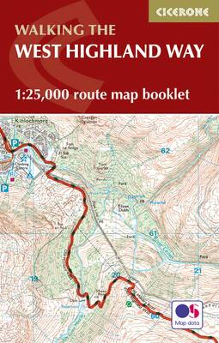
  • West Highland Way Map Booklet
  • All the mapping you need to complete the 95 mile (153km) West Highland Way, an official Scottish Long Distance Route from Milngavie near Glasgow to Fort William. Showcasing the wild beauty of western Scotland, the trail is a journey from the lowlands to the highlands, passing Loch Lomond then crossing Rannoch Moor before finishing in the shadow... Read more
Stanfords
United Kingdom
2016
  • West Highland Way Cicerone Map Booklet
  • Map coverage of the West Highland Way, 152km (95 miles) from Milngavie on theoutskirts of Glasgow to Fort William. The trail typically takes 8 days to walk in its entirety. This compact booklet of Ordnance Survey 1:25,000 maps shows the full route, providing all of the mapping you need to complete the trail, and eliminating the need to fold and... Read more
» Click to close
Bol.com
Netherlands
» Click to open
Bol.com
Belgium
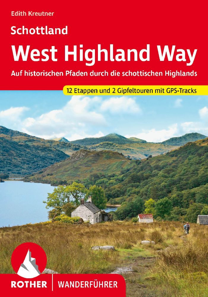
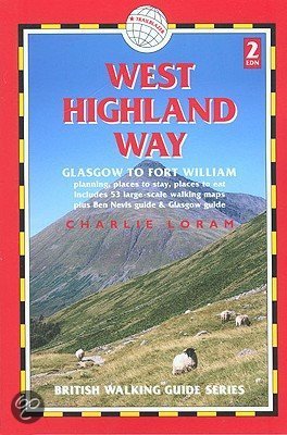
  • West Highland Way
  • Fully revised second edition of the first of Trailblazer's 10-title series of British Walking Guides. The West Highland Way is the most popular long-distance path in the country, passing through some of the most spectacular scenery in all of Britain. From the outskirts of Glasgow it winds for 95 miles along the wooded banks of Loch Lomond,... Read more
» Click to close
Bol.com
Netherlands
» Click to open
Bol.com
Belgium
  • You Can't Have Your Cake and Eat It
  • It started when a single red rose sent to the wrong person led to the right person. However, this is no ordinary romantic tale but a story of self-discovery, friendship and travel set to the backdrop of four continents. A chance encounter upon the volcanic and snowy slopes of Mount Kilimanjaro and a drunken text message sets off a chain... Read more
» Click to close
Bol.com
Netherlands
2016
» Click to open
Bol.com
Belgium
2016
  • Cowal Way
  • The Cowal Way is a waymarked trail running for 57 miles (92 km) across the rugged Cowal peninsula, an unspoiled area of the Highlands just west of Glasgow. It is best walked from Portavadie on Loch Fyne to finish at Inveruglas on Loch Lomond. The Way has some rugged scenery, the walk is easily broken into manageable sections, and it offers... Read more
» Click to close