De Zwerver
Netherlands
2019
De Zwerver
Netherlands
2018
» Click to open
Stanfords
United Kingdom
2018
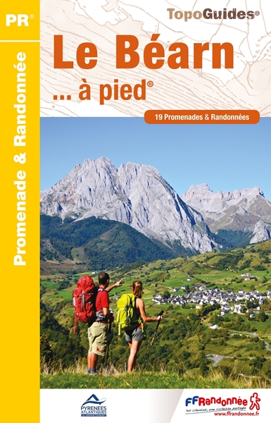
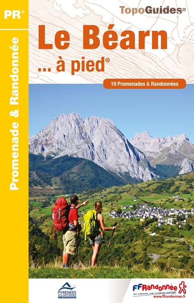
  • Le Béarn à pied P641
  • Le Béarn à pied, FFRP topo-guide Ref. No. P641, with 20 day walks of varying length and difficulty in the Pyrenees and their foothills between Pau, Pic du Midi d`Ossau and Col du Somport. Each walk is presented on a separate colour extract from IGN’s topographic survey of France at 1:25,000, with its description cross-referenced to the map.... Read more
» Click to close
De Zwerver
Netherlands
2022
De Zwerver
Netherlands
2016
De Zwerver
Netherlands
2023
De Zwerver
Netherlands
De Zwerver
Netherlands
2015
De Zwerver
Netherlands
2015
» Click to open
Stanfords
United Kingdom
2015
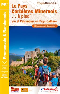
  • Pays Corbières Minerovois à pied FFRP Topo-guide No. P116
  • Pays Corbières Minerovois à pied, FFRP topo-guide Ref. No.P116, with 30 day walks of varying length and difficulty in the Pay Cathare area of the eastern Pyrenees, south-east of Carcassonne. Each walk is presented on a separate colour extract from IGN’s topographic survey of France at 1:25,000, with its description cross-referenced to the map.... Read more
» Click to close
De Zwerver
Netherlands
De Zwerver
Netherlands
2022
De Zwerver
Netherlands
2017
De Zwerver
Netherlands
2022
De Zwerver
Netherlands
2019
» Click to open
Stanfords
United Kingdom
2019
  • Autour du Bassin d`Arcachon à pied
  • Autour du Bassin d`Arcachon à pied, FFRP topoguide Ref. no. P331, with six local walks of varying length and difficulty, plus an 85km route around the basin. Each walk is presented on a separate colour extract from IGN’s topographic survey of France at 1:25,000, with its description cross-referenced to the map. Current edition of this title was... Read more
» Click to close
De Zwerver
Netherlands
2016
De Zwerver
Netherlands
2020
» Click to open
Stanfords
United Kingdom
2020
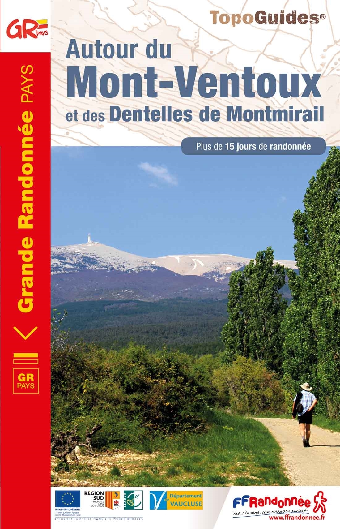
  • Autour du Mont-Ventoux et des Dentelles de Montmirail
  • Le Pays du Ventoux à pied, FFRP topo-guide Ref. No. P841, with 45 day walks in the environs of Mont Ventoux, north-east and east of Carpentras. Each day walk is presented on a separate colour extract from IGN’s topographic survey of France at 1:25,000, with its description cross-referenced to the map. Current edition of this title was published... Read more
» Click to close