Bol.com
Netherlands
Netherlands
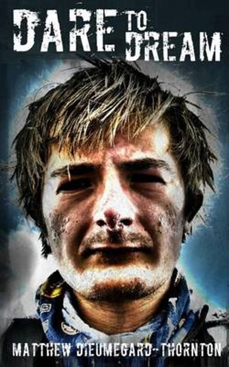
- Dare to Dream
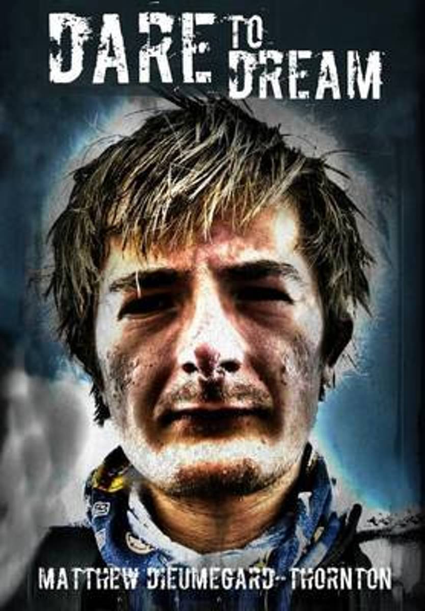
- Dare to Dream is the account of Matthew Dieumegard-Thornton and his journey to the top of the world's highest mountain, Mount Everest, in May 2012. The ascent was world record breaking, and the three members of the expedition, including Matthew, became the youngest ever team to successfully summit and descend the mountain. The climb was... Read more
- Also available from:
- Bol.com, Belgium
Bol.com
Belgium
Belgium
- Dare to Dream
- Dare to Dream is the account of Matthew Dieumegard-Thornton and his journey to the top of the world's highest mountain, Mount Everest, in May 2012. The ascent was world record breaking, and the three members of the expedition, including Matthew, became the youngest ever team to successfully summit and descend the mountain. The climb was... Read more