De Zwerver
Netherlands
2023
De Zwerver
Netherlands
2022
De Zwerver
Netherlands
2015
De Zwerver
Netherlands
2020
» Click to open
Stanfords
United Kingdom
2020
  • Hadrian`s Wall Path - Easy-to-use Folding Map and Essential Information
  • The 138-kilometre Hadrian`s Wall Path traces a grey line along Great Whin Sill, the dolerite ridge chosen by the Romans for their historic wall. The route, one of Britain`s most popular National Trails, is dotted with milecastles and forts, and attracts trail runners and walkers all year round due to its sweeping views. Beginning in Newcastle,... Read more
» Click to close
De Zwerver
Netherlands
2017
» Click to open
Bol.com
Netherlands
2017
  • Hadrian's Wall Path Adventure Atlas
  • AZ heeft de meest gedetailleerde wandelkaarten van het Hadrian's Wall Path gebundeld in een atlasje. Daardoor is het heel handig qua formaat. De kaarten zelf zijn perfect voor het wandelen. Schaal 1:25.000 The A-Z Adventure Series of maps combines the best of OS and A-Z, creating the perfect companion for walkers, off-road cyclists, horse... Read more
Bol.com
Belgium
2017
  • Hadrian's Wall Path Adventure Atlas
  • AZ heeft de meest gedetailleerde wandelkaarten van het Hadrian's Wall Path gebundeld in een atlasje. Daardoor is het heel handig qua formaat. De kaarten zelf zijn perfect voor het wandelen. Schaal 1:25.000 The A-Z Adventure Series of maps combines the best of OS and A-Z, creating the perfect companion for walkers, off-road cyclists, horse... Read more
» Click to close
Bol.com
Netherlands
2015
» Click to open
Bol.com
Belgium
2015
  • Hadrian's wall path
  • Guidebook to walking the 84-mile Hadrian's Wall Path National Trail along the Roman Wall from Bowness-on-Solway to Wallsend, Newcastle. The trail typically takes a week to walk, and is suitable for beginners as well as walkers with greater experience. The route is described in both directions, and the guidebook also features extensions to... Read more
The Book Depository
United Kingdom
2015
» Click to close
Bol.com
Netherlands
» Click to open
Bol.com
Belgium
The Book Depository
United Kingdom
» Click to close
Bol.com
Netherlands
2017
» Click to open
Bol.com
Belgium
2017
  • Pennine Way Map Booklet
  • Britain's oldest, toughest and best-known long-distance footpath, the Pennine Way stretches 427km (266 miles) from Edale in Derbyshire to Kirk Yetholm in the Scottish Borders. Showcasing the wild beauty of the North, it crosses three National Parks - the Peak District, Yorkshire Dales and Northumberland National Park - plus the North Pennines... Read more
Stanfords
United Kingdom
2017
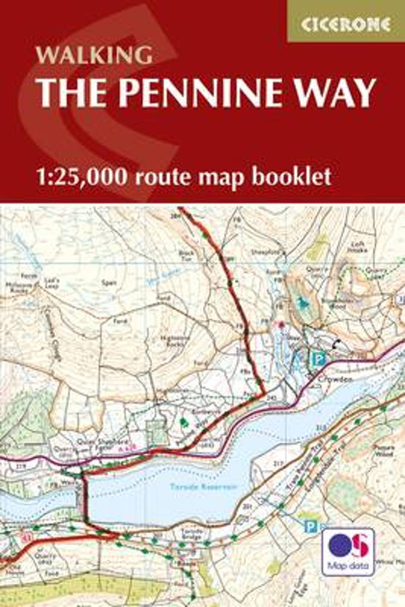
  • Pennine Way Cicerone Map Booklet
  • Britain`s oldest, toughest and best-known long-distance footpath, the Pennine Way stretches 427km (2651/2 miles) from Edale in Derbyshire to Kirk Yetholm in the Scottish Borders. Showcasing the wild beauty of the North, it crosses three National Parks - the Peak District, Yorkshire Dales and Northumberland National Park - plus the North... Read more
The Book Depository
United Kingdom
2017
» Click to close
Bol.com
Netherlands
» Click to open
Bol.com
Belgium
  • Rick Steves England (Eighth Edition)
  • You can count on Rick Steves to tell you what you really need to know when traveling in England. In this guide, you'll find a mix of splendid cities, ever-so-quaint villages, historic ports, and seaside resorts. Visit the manors, museums, cathedrals, and castles that preserve England's history. Explore the scenic bays of Cornwall, hike the wild... Read more
» Click to close
Bol.com
Netherlands
» Click to open
Bol.com
Belgium
  • Rick Steves' England 2013
  • You can count on Rick Steves to tell you what you really need to know when traveling in England. In this guide, you'll find a mix of splendid cities, ever-so-quaint villages, historic ports, and seaside resorts. Visit the manors, museums, cathedrals, and castles that preserve England's history. Explore the scenic bays of Cornwall, hike the wild... Read more
» Click to close
Bol.com
Netherlands
» Click to open
Bol.com
Belgium
  • Short Walks in Northumbria
  • A practical little walk guide to Northumbria endorsed by the Ramblers. All of the 20 walks are 5 miles or under in length and can easily be completed in less than 3 hours. Clear Ordnance Survey maps show the route, along with easy-to-follow walk descriptions. Northumbria offers diverse landscapes: the scenic North Sea Coast with its diverse... Read more
Stanfords
United Kingdom
  • Short Walks in Northumbria
  • A practical little walk guide to Northumbria endorsed by the Ramblers. All of the 20 walks are 5 miles or under in length and can easily be completed in less than 3 hours. Clear Ordnance Survey maps show the route, along with easy-to-follow walk descriptions. Northumbria offers diverse landscapes: the scenic North Sea Coast with its diverse... Read more
» Click to close
Bol.com
Netherlands
» Click to open
Bol.com
Belgium
  • Hadrian's Wall, Haltwhistle & Hexham
  • OS Explorer is the Ordnance Survey's most detailed map and is recommended for anyone enjoying outdoor activities like walking, horse riding and off-road cycling. The OS Explorer range of OL maps now includes a digital version of the paper map, accessed through the OS smartphone app, OS Maps. Providing complete GB coverage the series details... Read more
» Click to close
Bol.com
Netherlands
» Click to open
Bol.com
Belgium
  • South West Coast Path
  • This new guide covers the third and last section of the South West Coast Path, from Plymouth to Poole Harbour (203 miles). This beautiful route includes 95 miles within England's only Natural World Heritage Site, the Jurassic Coast, and passes dramatic cliffs and headlands, Chesil Bank's impressive spit and Lulworth Cove, winding through... Read more
» Click to close
Bol.com
Netherlands
» Click to open
Bol.com
Belgium
  • The Marches
  • LONGLISTED FOR THE ORWELL PRIZE 2017 This is travel writing at its best.' Katherine Norbury, Observer An Observer Book of the Year His father Brian taught Rory Stewart how to walk, and walked with him on journeys from Iran to Malaysia. Now they have chosen to do their final walk together along the Marches' - the frontier that divides their two... Read more
The Book Depository
United Kingdom
» Click to close
Bol.com
Netherlands
» Click to open
Bol.com
Belgium
  • Hadrian's Wall Path
  • This is the paperback with black and white photos. For the paperback with full-color photos, see ISBN-10: 1507886780 or ISBN-13:978-1507886786.Wouldn't you love to go on an adventure and find that it was more than what you expected? That s what happened to Jane V. Blanchard when she walked the Hadrian s Wall Path, and what she wants to share... Read more
» Click to close