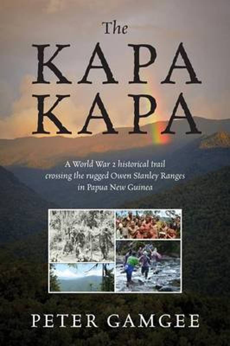
The Kapa Kapa - A tough walk in paradise. Kapa Kapa Trail - means nothing to most people, even experienced walkers. Google it and you will not be much wiser. Hence the allure for the hardy trekkers. In 1942 under General MacArthur's orders an ill equipped 2nd Battalion of the US 126th Infantry Division of the 32nd "Red Arrows" battled their way...Read more
This map is located in County Roscommon and County Longford and also a portion of County Westmeath. The N6, N61 and N55 are shown on the map. The N63and R392 go through Lanesborough. Among the walks that feature are Commons North Woodland Walk, Rinn Duin-Castle Loop Walk and Rinn-Duin Warren Point Loop Walk.Boat hire is a major activity on the...Read more
This map covers a section of the Shannon River from Lough Allen in the north and Lough Key extending down to Carrick-on-Shannon following the flow of the River Shannon. The counties of Leitrim and Roscommon comprise the majority of the map, with small areas of County Cavan and County Sligo also included. Some of the features included are...Read more
Map No. 32, Mayo North-East - Sligo South - Roscommon North-West, in the Discovery series from the OSI, the Ordnance Survey of Ireland, which presents the country on detailed topographic maps at 1:50,000, with additional overprint highlighting campsites and caravan parks, youth hostels, etc. Current 3rd edition of this title was published in...Read more