Waterproof Tear-Resistant Topographic MapNational Geographic's Trails Illustrated map of Big Sur / Ventana Wilderness - Los Padres National Forest is a two-sided, waterproof map designed to meet the needs of outdoor enthusiasts with unmatched durability and detail. This map was created in conjunction with local land management agencies...Read more
Waterproof Tear-Resistant Topographic MapNational Geographic's Trails Illustrated map of Big Sur / Ventana Wilderness - Los Padres National Forest is a two-sided, waterproof map designed to meet the needs of outdoor enthusiasts with unmatched durability and detail. This map was created in conjunction with local land management agencies...Read more
Map No. 814, Angeles National Forest, CA, in an extensive series of GPS compatible, contoured hiking maps of USA’s national and state parks or forests and other popular recreational areas. Cartography based on the national topographic survey, with additional tourist information.The maps, with most titles now printed on light, waterproof and...Read more
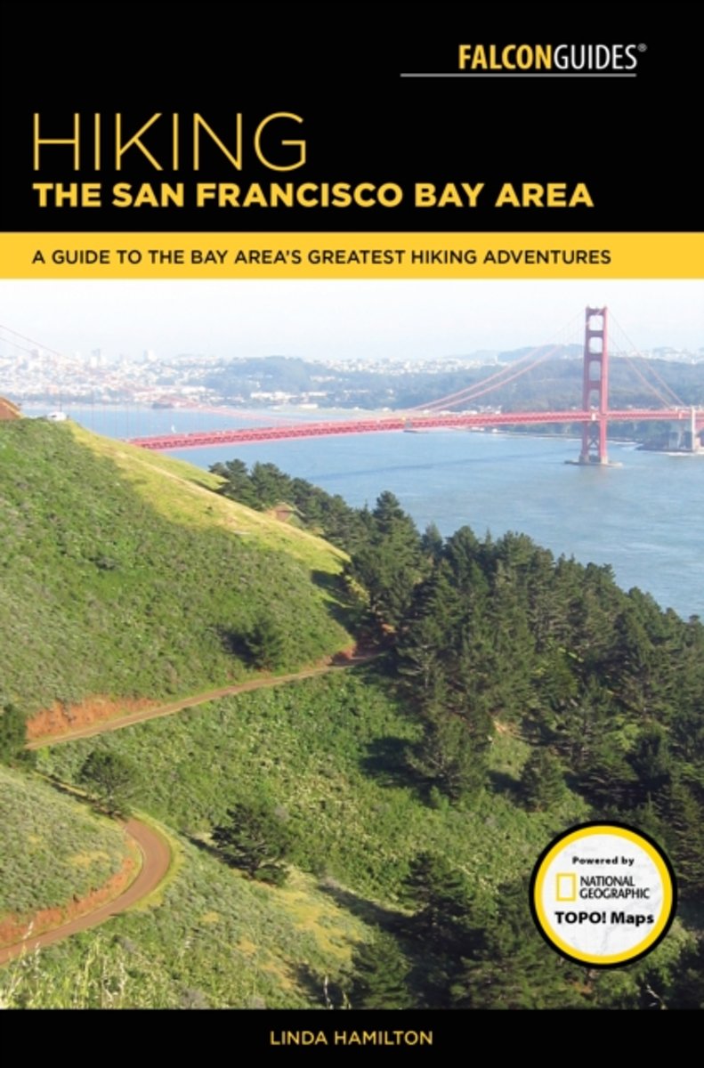
Lace up your boots and sample forty of the finest trails the San Francisco Bay Area has to offer. This guide covers every corner of this beautiful and diverse region, leading you to roaring waterfalls and wind-whipped mountaintops, verdant forests and wildflower-covered meadows. See majestic redwoods in the nature lover's cathedral in Muir...Read more
Lace up your boots and sample forty of the finest trails the San Francisco Bay Area has to offer. This guide covers every corner of this beautiful and diverse region, leading you to roaring waterfalls and wind-whipped mountaintops, verdant forests and wildflower-covered meadows. See majestic redwoods in the nature lover's cathedral in Muir...Read more
On February 20, 2016, I stood facing west with my bare feet in the Atlantic Ocean at Cape Henlopen State Park on the Delaware coast. My friend Peter was standing onshore taking my picture - the obligatory, traditional, pants-rolled-up, feet-in-the-ocean, grinning-silly picture for a hopeful traveler like me. Peter was jubilant. I was a little...Read more
On February 20, 2016, I stood facing west with my bare feet in the Atlantic Ocean at Cape Henlopen State Park on the Delaware coast. My friend Peter was standing onshore taking my picture - the obligatory, traditional, pants-rolled-up, feet-in-the-ocean, grinning-silly picture for a hopeful traveler like me. Peter was jubilant. I was a little...Read more
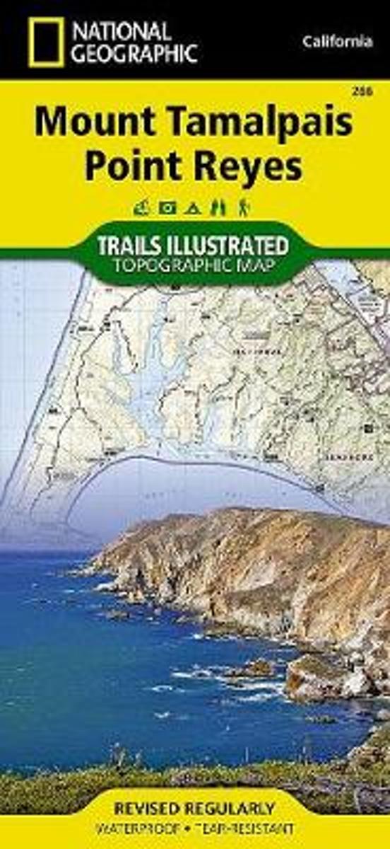
Waterproof Tear-Resistant Topographic MapNational Geographic's Trails Illustrated map of Mount Tamalpais and Point Reyes is a two-sided, waterproof map designed to meet the needs of outdoor enthusiasts with unmatched durability and detail. This map was created in conjunction with local land management agencies and is loaded with valuable...Read more
Waterproof Tear-Resistant Topographic MapNational Geographic's Trails Illustrated map of Mount Tamalpais and Point Reyes is a two-sided, waterproof map designed to meet the needs of outdoor enthusiasts with unmatched durability and detail. This map was created in conjunction with local land management agencies and is loaded with valuable...Read more
Map No. 266, Mount Tamalpais and Point Reyes, CA, in an extensive series of GPS compatible, contoured hiking maps of USA’s national and state parks or forests and other popular recreational areas. Cartography based on the national topographic survey, with additional tourist information.The maps, with most titles now printed on light, waterproof...Read more
169+ Mountain Man Survival Tricks My name is Joseph A. Laydon Jr. and stay with me through this DESCRIPTION cause whether you get this Book or not, I m here to help you out. So at the end of this DESCRIPTION, I LL GIVE YOU ONE OF THESE 169+ Mountain Man Survival Tricks so you re ready Anytime Anywhere!! Fair enough! OK then.Some of the...Read more
169+ Mountain Man Survival Tricks My name is Joseph A. Laydon Jr. and stay with me through this DESCRIPTION cause whether you get this Book or not, I m here to help you out. So at the end of this DESCRIPTION, I LL GIVE YOU ONE OF THESE 169+ Mountain Man Survival Tricks so you re ready Anytime Anywhere!! Fair enough! OK then.Some of the...Read more
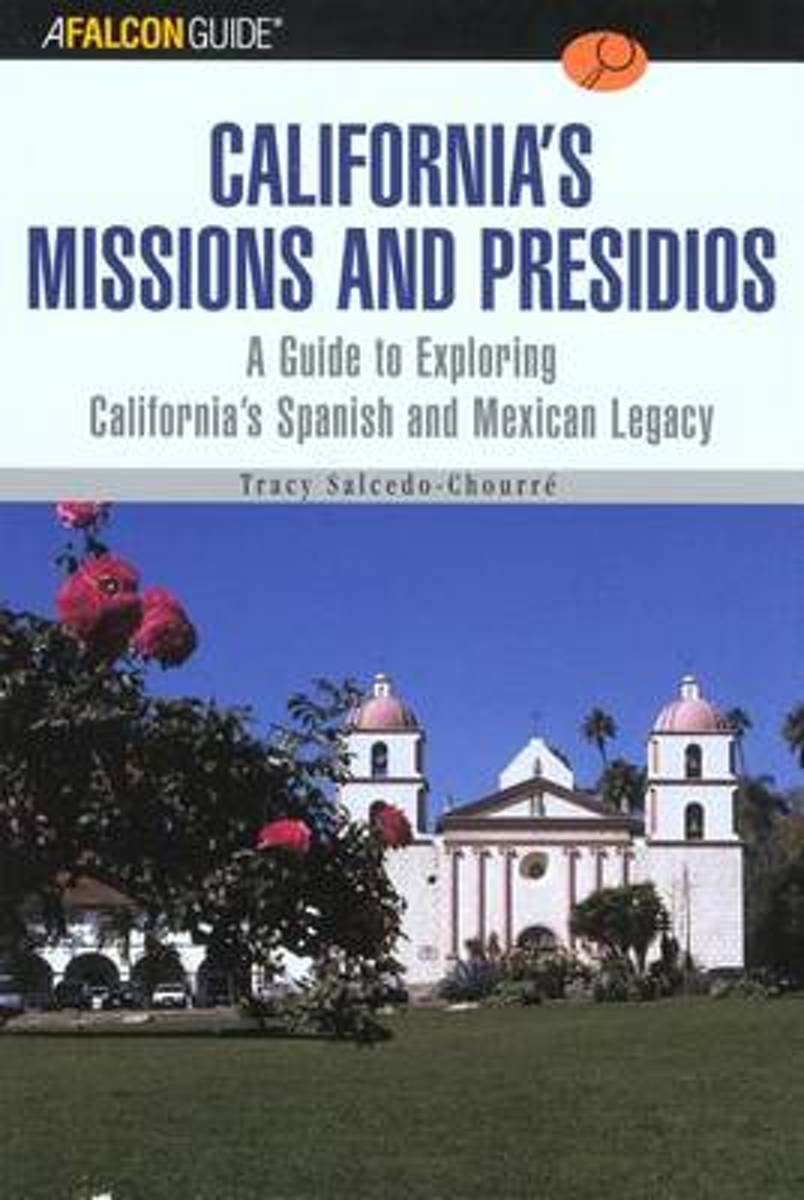
As Spanish authorities colonized Alta California, they established 21 Franciscan missions and four forts, or presidios, to bring the native inhabitants of the region under control and to provide for security and defense. Today, the missions and presidios are among California's most popular historic landmarks, and enduring reminders of...Read more
As Spanish authorities colonized Alta California, they established 21 Franciscan missions and four forts, or presidios, to bring the native inhabitants of the region under control and to provide for security and defense. Today, the missions and presidios are among California's most popular historic landmarks, and enduring reminders of...Read more
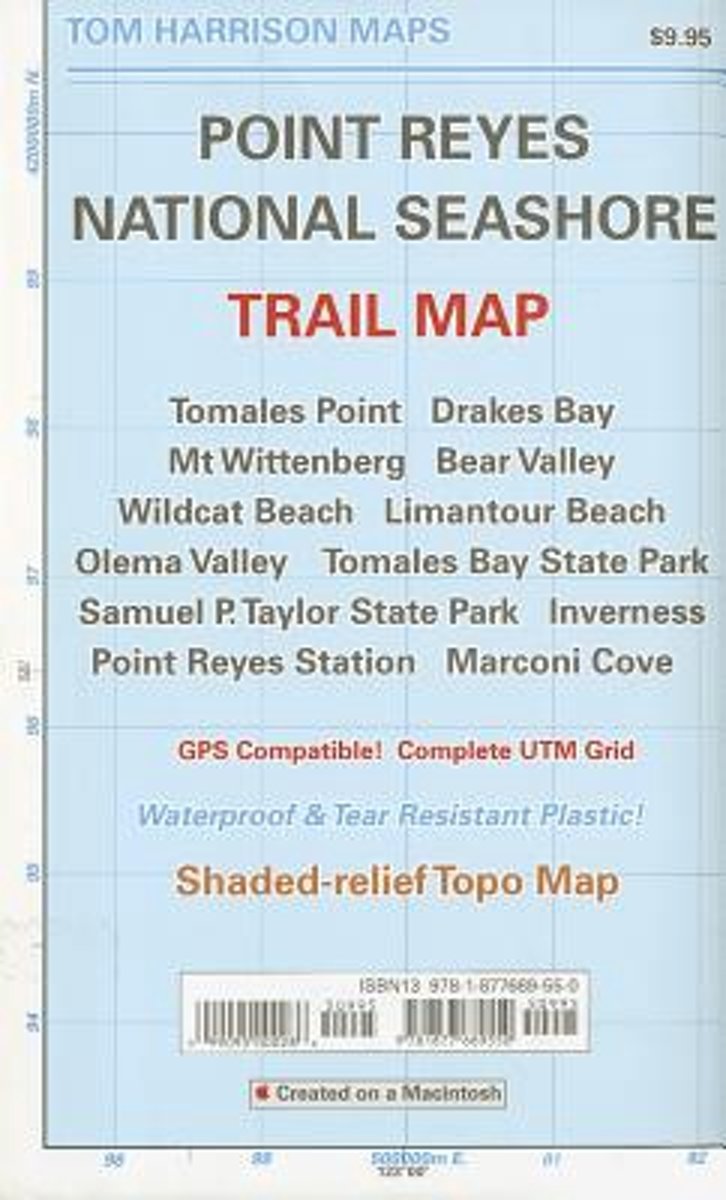
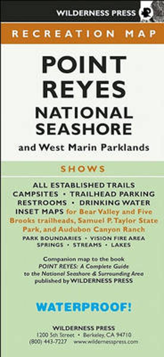
Find your way around Point Reyes National Seashore and vicinity with this topographic map showing every major road, trailhead, and trail in the park. This 4-color map shows all established campgrounds, picnic and parking areas, restrooms, telephones, and visitor centers. Also covers Samuel P. Taylor State Park, Audubon Canyon Ranch, Tomales Bay...Read more
Find your way around Point Reyes National Seashore and vicinity with this topographic map showing every major road, trailhead, and trail in the park. This 4-color map shows all established campgrounds, picnic and parking areas, restrooms, telephones, and visitor centers. Also covers Samuel P. Taylor State Park, Audubon Canyon Ranch, Tomales Bay...Read more
Waldviertel North - Gmünd - Heidenreichstein - Waidhofen a.d.T. - Raabs a.d.T. – Trebon area of eastern Austria presented at 1:50,000 in a series of contoured and GPS compatible outdoor leisure map from Freytag & Berndt with hiking and cycling routes, mountain huts, campsites and youth hostels, local bus stops, plus other tourist information.To...Read more